Elevation of Hubble Pond Rd, Rochert, MN, USA
Location: United States > Minnesota > Becker County >
Longitude: -95.687899
Latitude: 46.860059
Elevation: 439m / 1440feet
Barometric Pressure: 96KPa
Elevation Map:
Satellite Map:
Related Photos:
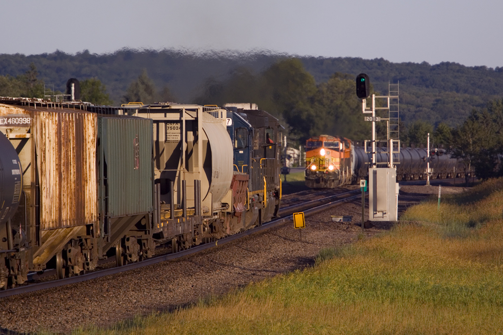
NS 8887 Frazee, Mullered
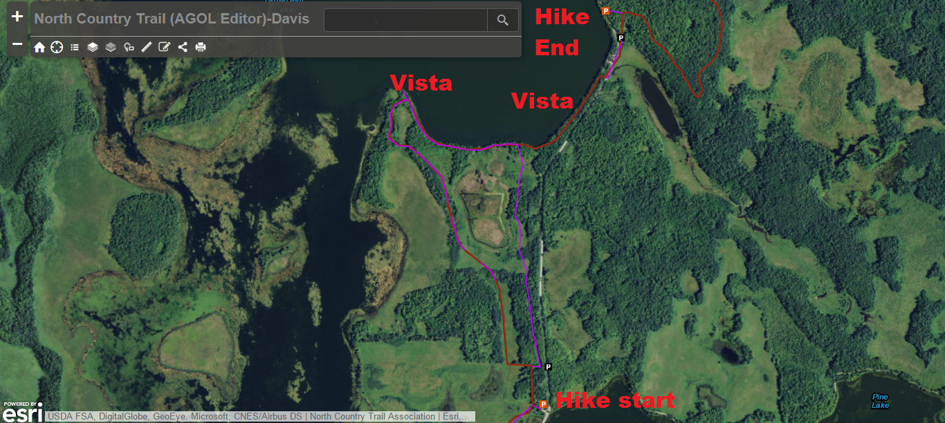
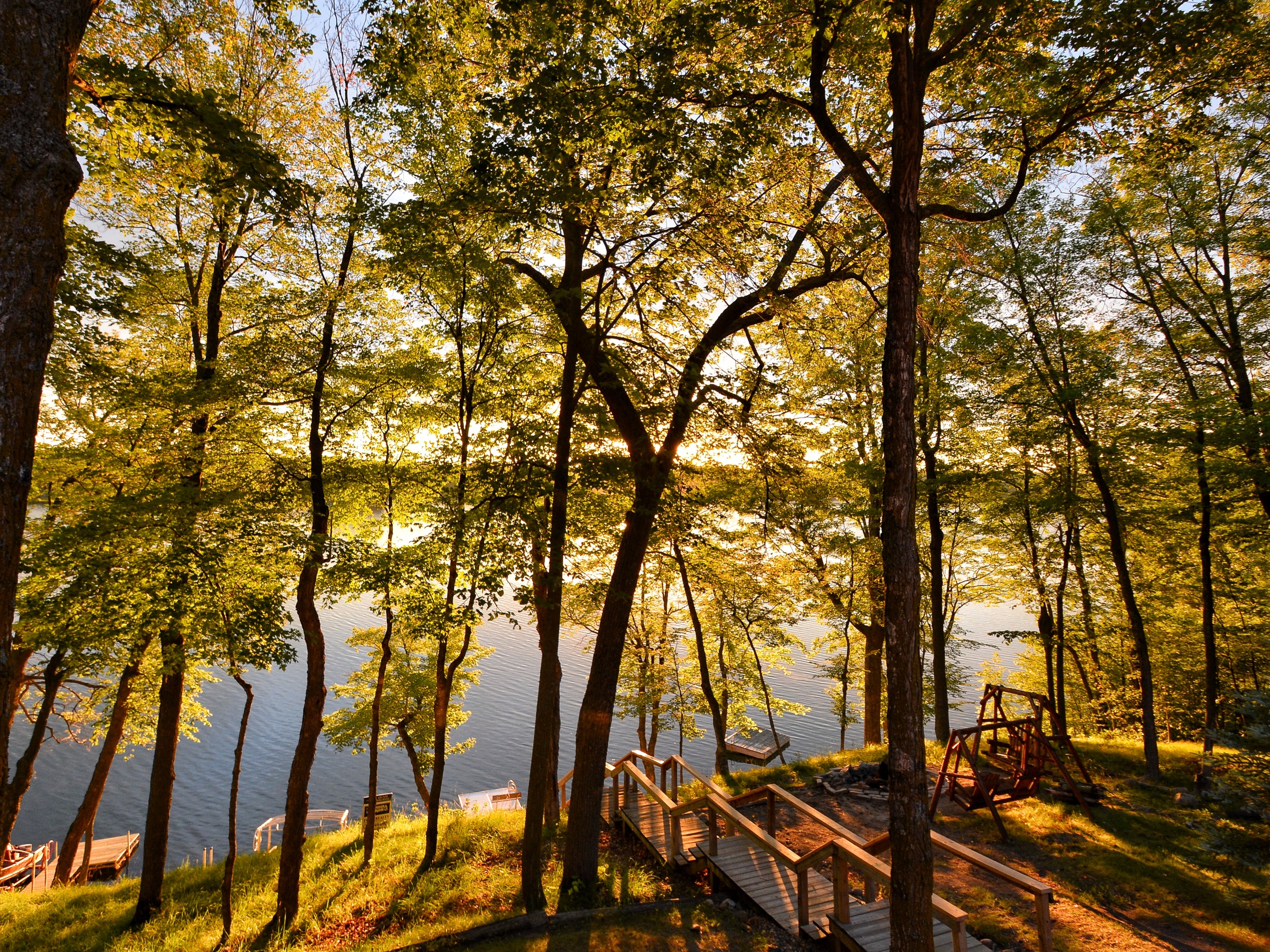
Hike 2
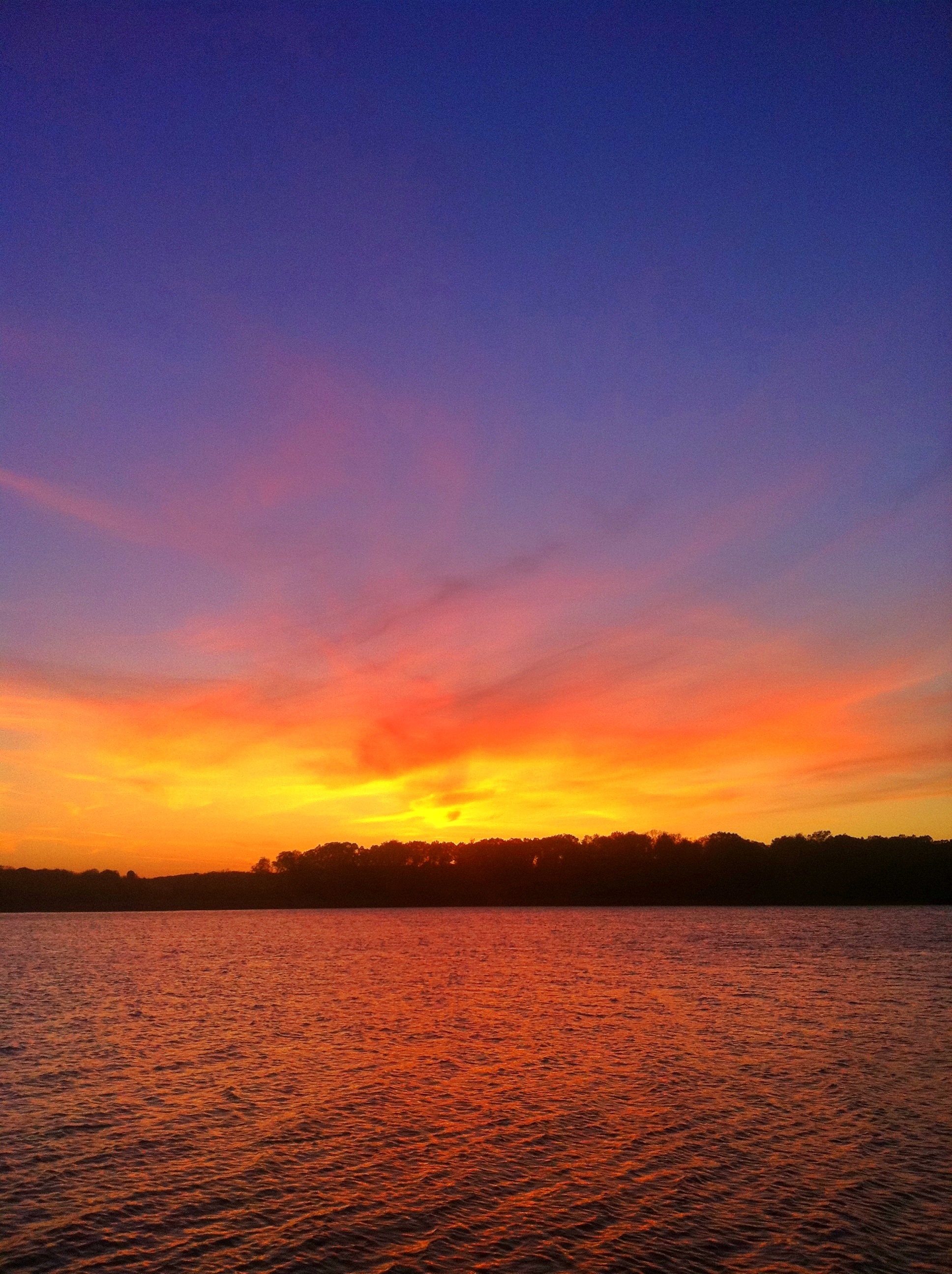
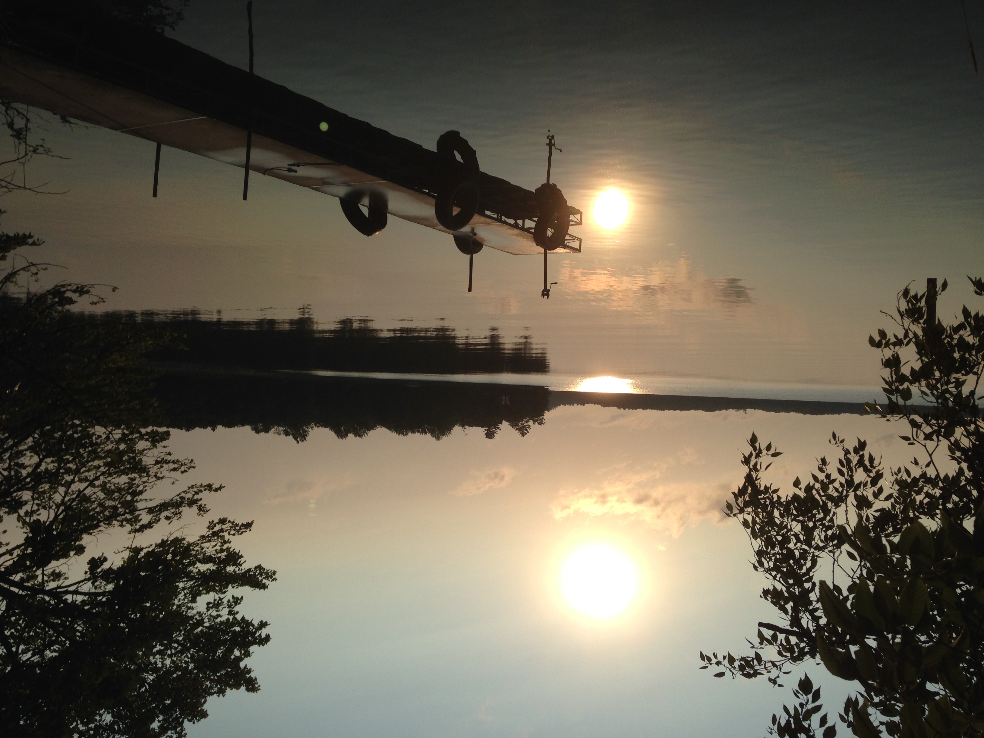
Sunset Long Lake
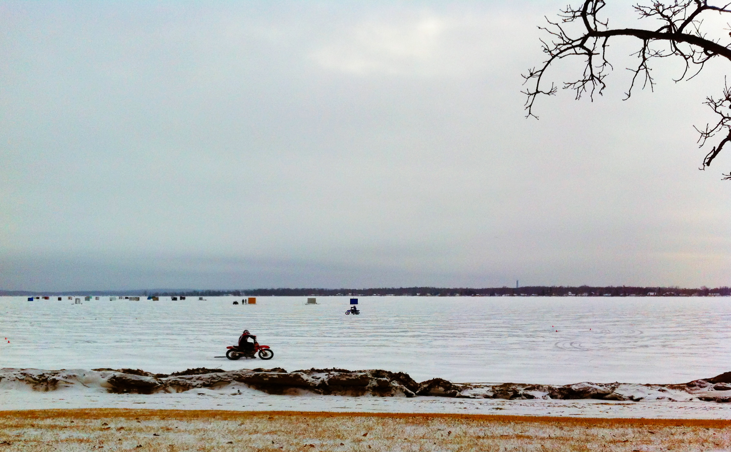
Ice Racing
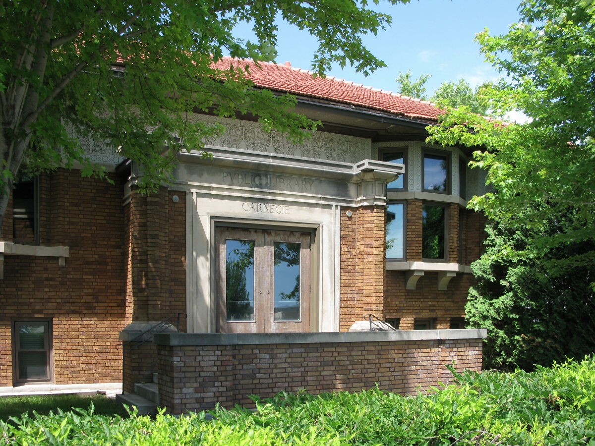
Detroit Lakes Carnegie Library
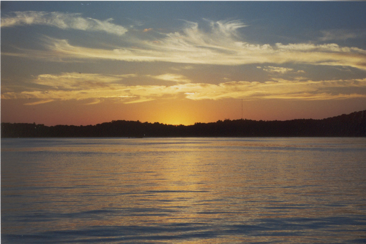
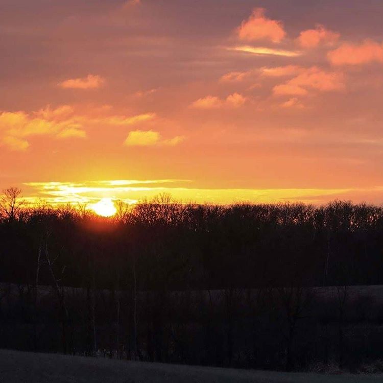
sunset 3 copy
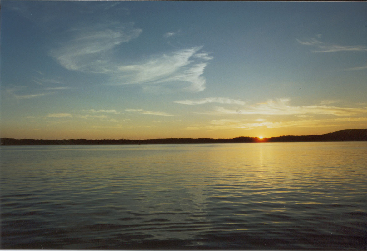
Sunset 2 copy
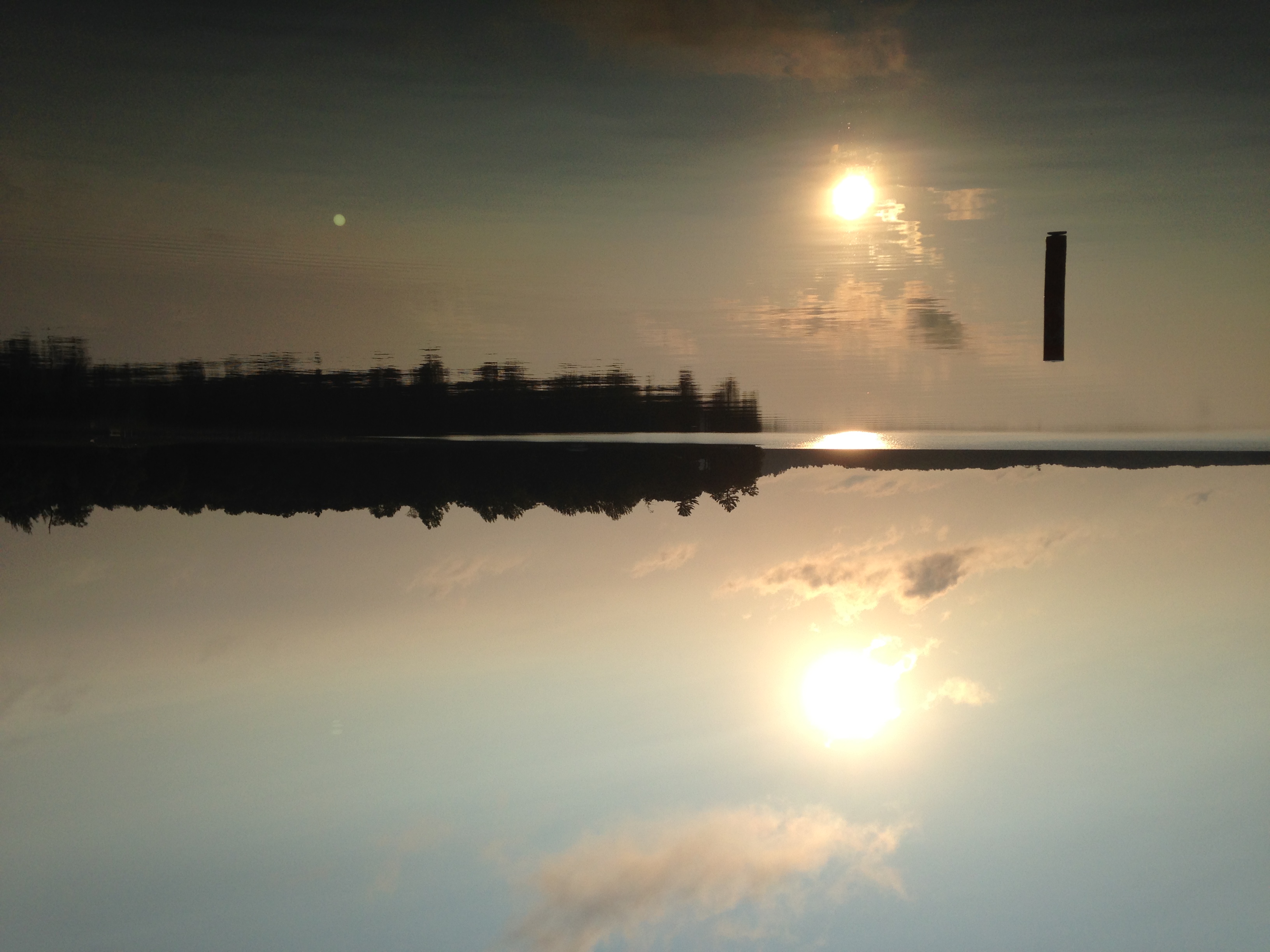
The final days at Island Lake.
Pickerel Lake 2013
The final days at Island Lake.
#minnesotaoutdoors #minnesotasunset #captureminnesota #onlyinmn #glorioussunset #minnesotaphotographer #majestic #frazeemn #northlandoutdoors #northernminnesota #beckercounty @gurushots
Topographic Map of Hubble Pond Rd, Rochert, MN, USA
Find elevation by address:

Places near Hubble Pond Rd, Rochert, MN, USA:
Hanson Lake Road
Becker County
Mountain Road
106 3rd St Nw
915 8th St Se
Detroit Lakes
Detroit Lakes, MN, USA
Detroit Township
Lake View Township
Long Lake Drive
US-10, Detroit Lakes, MN, USA
23649 Us-59
Westbury
45464 Devils Lake Rd
Callaway
10 Wisconsin St, Callaway, MN, USA
Bucksmill Dr, Detroit Lakes, MN, USA
Co Rd, Lake Park, MN, USA
White Earth
Lake Eunice Township
Recent Searches:
- Elevation of Corso Fratelli Cairoli, 35, Macerata MC, Italy
- Elevation of Tallevast Rd, Sarasota, FL, USA
- Elevation of 4th St E, Sonoma, CA, USA
- Elevation of Black Hollow Rd, Pennsdale, PA, USA
- Elevation of Oakland Ave, Williamsport, PA, USA
- Elevation of Pedrógão Grande, Portugal
- Elevation of Klee Dr, Martinsburg, WV, USA
- Elevation of Via Roma, Pieranica CR, Italy
- Elevation of Tavkvetili Mountain, Georgia
- Elevation of Hartfords Bluff Cir, Mt Pleasant, SC, USA