Elevation map of Huari Province, Peru
Location: Peru > Ancash >
Longitude: -77.171926
Latitude: -9.3487267
Elevation: 3097m / 10161feet
Barometric Pressure: 69KPa
Elevation Map:
Satellite Map:
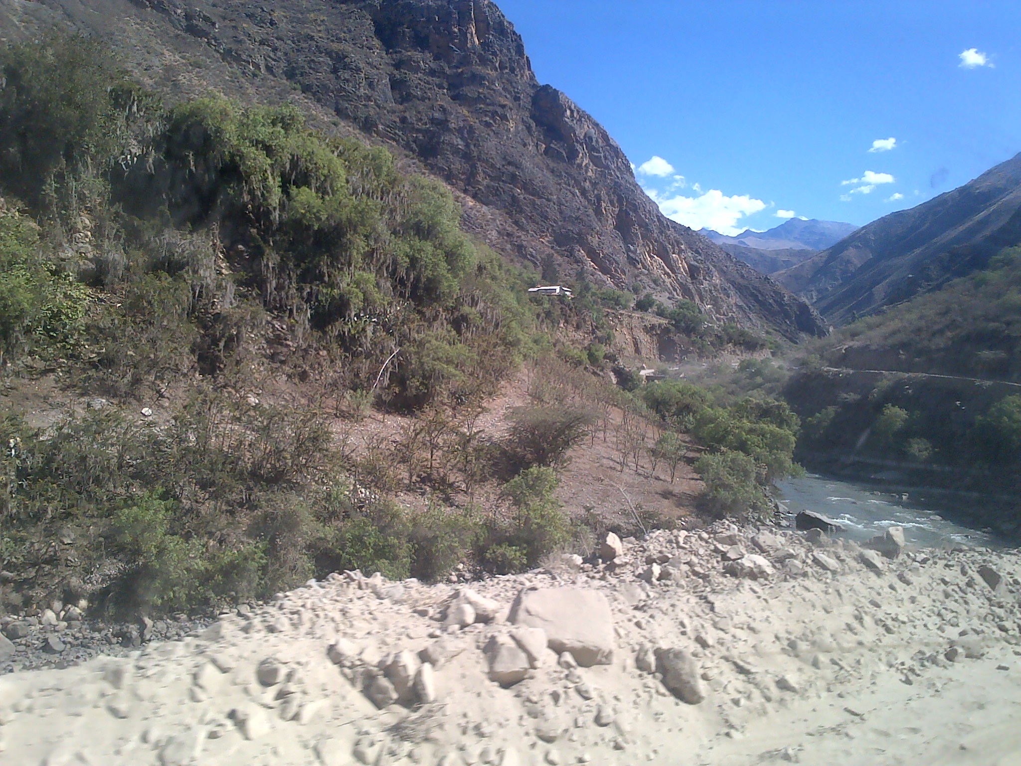
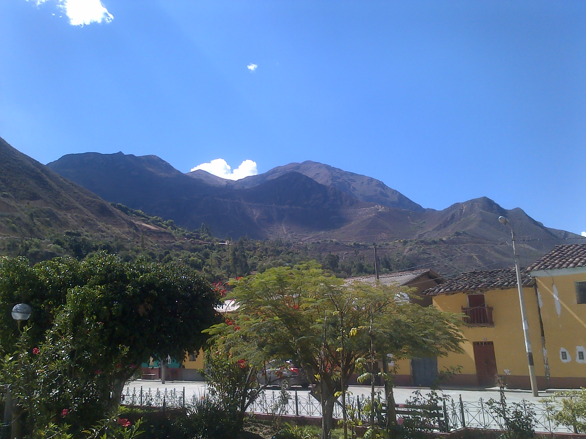
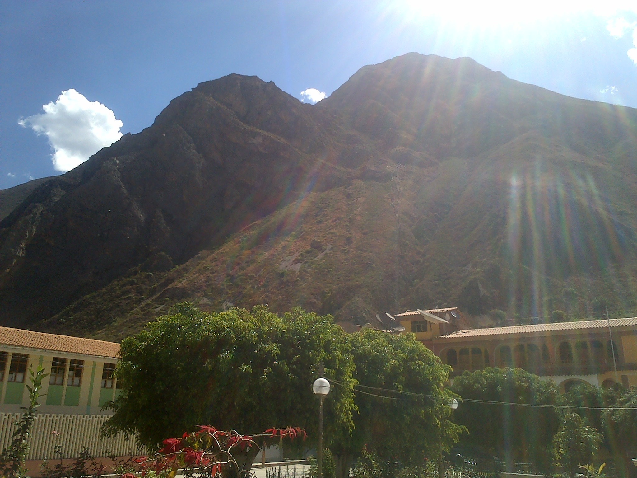
Related Photos:

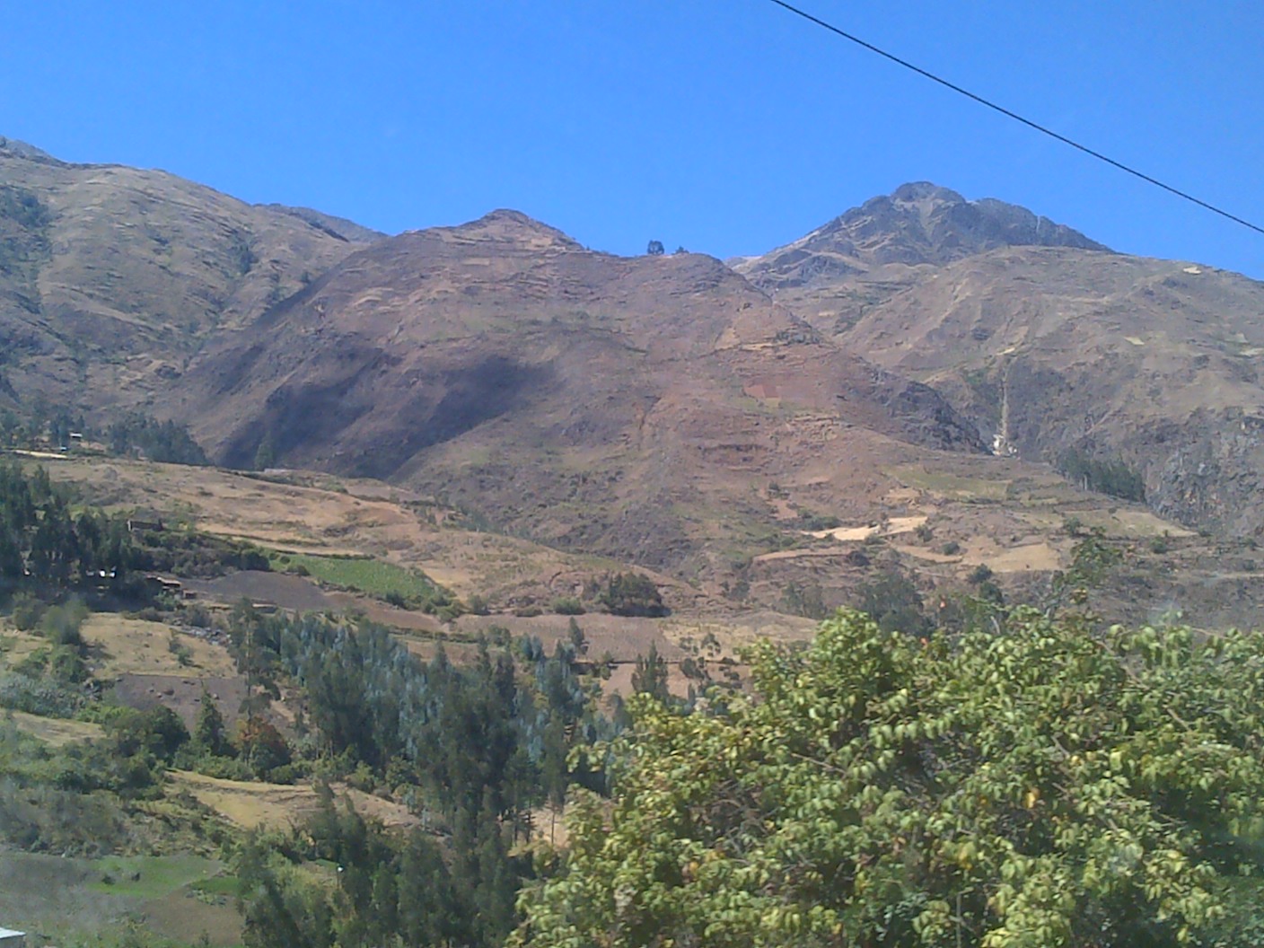
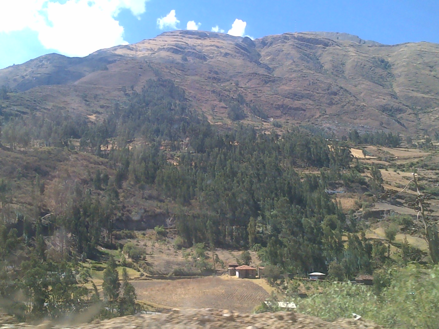
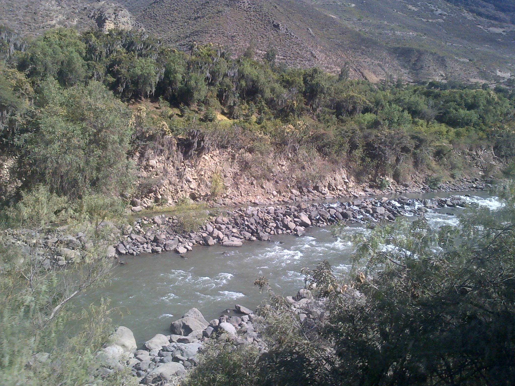
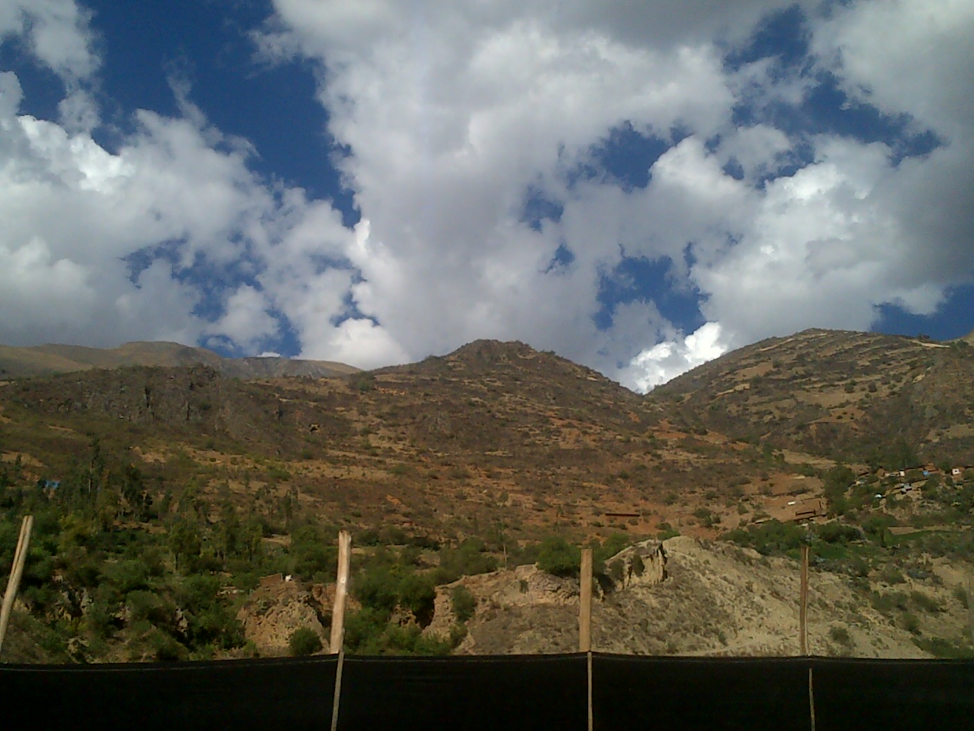
Chavín, Perú

Chavín, Perú
IMG-20160715-00045

IMG-20160715-00046

IMG-20160715-00042
IMG-20160715-00043

IMG-20160715-00066
IMG-20160715-00061

IMG-20160715-00063

IMG-20160715-00062

IMG-20160715-00065
IMG-20160715-00068
IMG-20160715-00064
IMG-20160715-00060
IMG-20160715-00059
Topographic Map of Huari Province, Peru
Find elevation by address:

Places in Huari Province, Peru:
Places near Huari Province, Peru:
Recent Searches:
- Elevation of Corso Fratelli Cairoli, 35, Macerata MC, Italy
- Elevation of Tallevast Rd, Sarasota, FL, USA
- Elevation of 4th St E, Sonoma, CA, USA
- Elevation of Black Hollow Rd, Pennsdale, PA, USA
- Elevation of Oakland Ave, Williamsport, PA, USA
- Elevation of Pedrógão Grande, Portugal
- Elevation of Klee Dr, Martinsburg, WV, USA
- Elevation of Via Roma, Pieranica CR, Italy
- Elevation of Tavkvetili Mountain, Georgia
- Elevation of Hartfords Bluff Cir, Mt Pleasant, SC, USA