Elevation of Huaral, Peru
Location: Peru > Lima > Huaral Province >
Longitude: -77.211773
Latitude: -11.496517
Elevation: 174m / 571feet
Barometric Pressure: 99KPa
Elevation Map:
Satellite Map:
Related Photos:
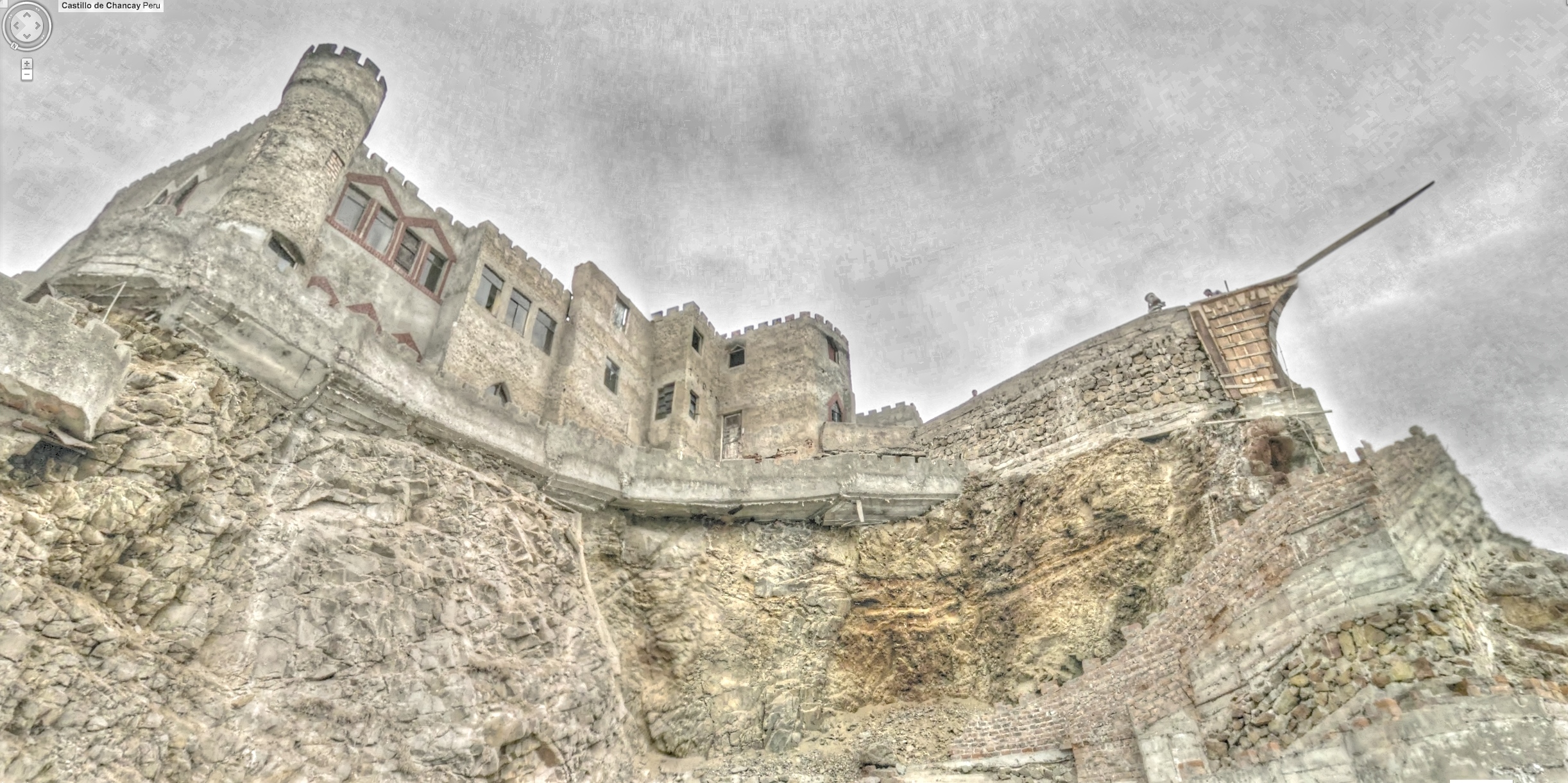
Castillo de Chancay

Restaurant Campestre El Fogon - Huaral- Perú in 2008

#FBF Nice places with nice views & beautiful moments. #Sunset #Buildings #Apartments #Windows #Paragliding #Sky #Clouds #Window #Street #10thFloor #Miraflores #Lima #SouthAmerica
Las Vertebras del gigante

Hoy sólo eres ayer

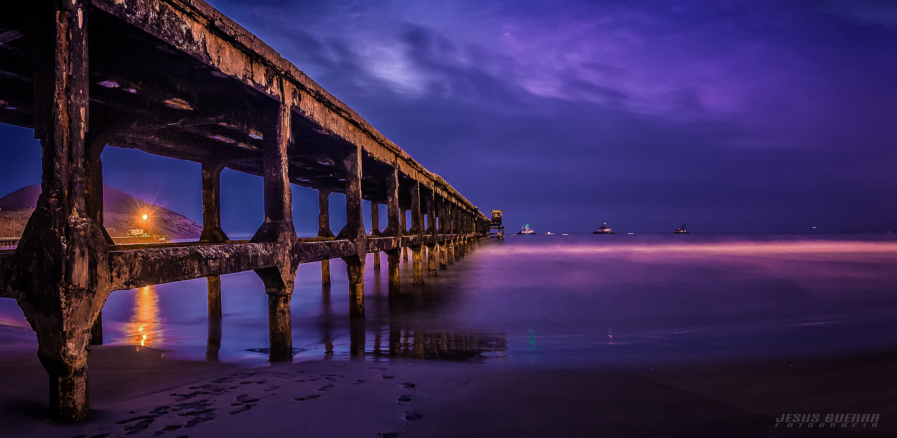
Puerto bajo el sol
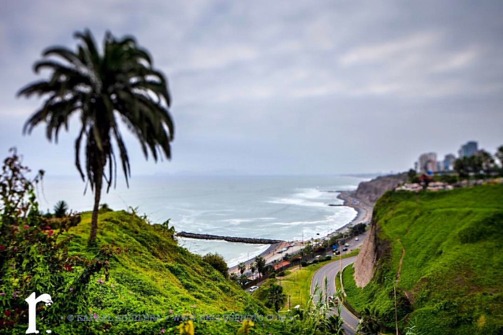
Pacific Ocean #Lima #Peru #Miraflores #malecon #boardwalk #cliff #pacificocean #ocean #Parquedelamor #parque #mirafloresdistrict #beach #coast #5DmarkII #Canon #CanonBringIt #travel #photography #BellusPhoto.com
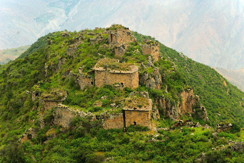
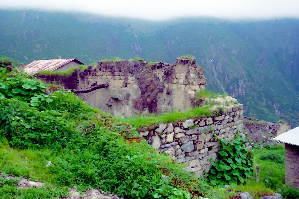
Vista Aerea de Rupac, Huaral

Una calle de Chancay con el Océano Pacífico al fondo
Breaking Down in Chancay, Peru
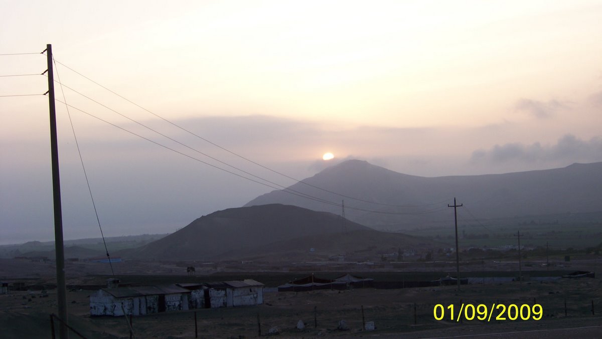
Breaking Down in Chancay, Peru
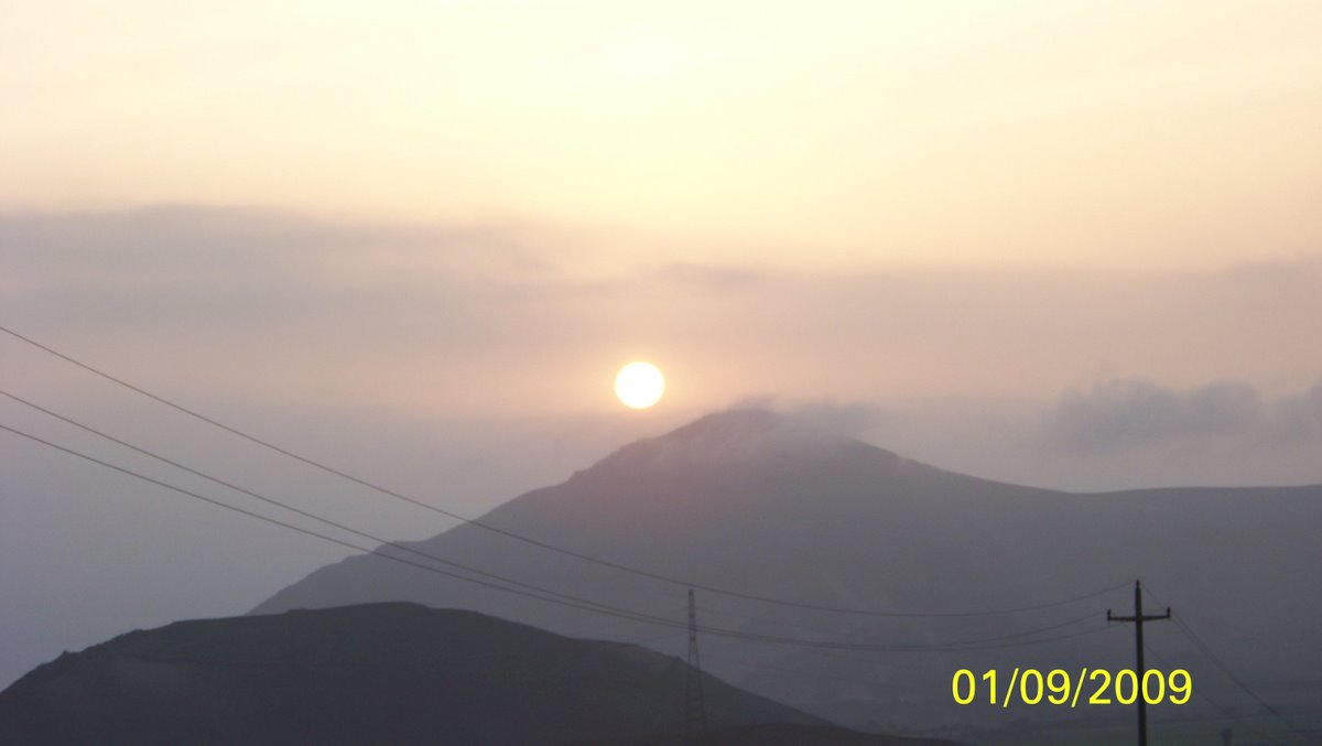
Pampas, Huaral Peru
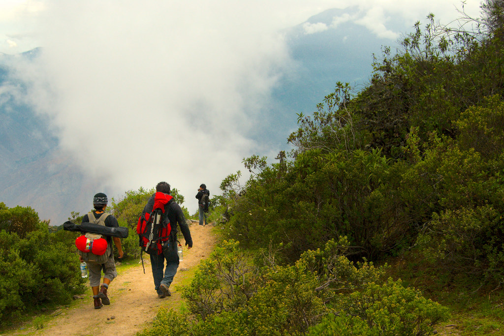
Descendiendo de Rupac, Huaral
Bandurria, Lima, Peru
Topographic Map of Huaral, Peru
Find elevation by address:

Places near Huaral, Peru:
Hotel Collpa
Panamericana Nte. 76, Chancayllo, Peru
Serpentín Pasamayo
Ancón
Huaral Province
Callao Region
Santa Rosa De Quives District
Tierras Viajeras Hostel Cultural
San Juan De Lurigancho
Columbia Sede Los Olivos
Jorge Chavez International Airport
Jorge Chavez International Airport
San Hilarion
Los Postes
Estación Los Jardines
Raza Perú
Constitutional Province Of Callao
Callao District
Machu Picchu
Bellavista District
Recent Searches:
- Elevation of Corso Fratelli Cairoli, 35, Macerata MC, Italy
- Elevation of Tallevast Rd, Sarasota, FL, USA
- Elevation of 4th St E, Sonoma, CA, USA
- Elevation of Black Hollow Rd, Pennsdale, PA, USA
- Elevation of Oakland Ave, Williamsport, PA, USA
- Elevation of Pedrógão Grande, Portugal
- Elevation of Klee Dr, Martinsburg, WV, USA
- Elevation of Via Roma, Pieranica CR, Italy
- Elevation of Tavkvetili Mountain, Georgia
- Elevation of Hartfords Bluff Cir, Mt Pleasant, SC, USA