Elevation of Hraunhafnarvatn, Iceland
Location: Iceland > Northeastern Region >
Longitude: -16.035833
Latitude: 66.5113889
Elevation: 0m / 0feet
Barometric Pressure: 101KPa
Elevation Map:
Satellite Map:
Related Photos:
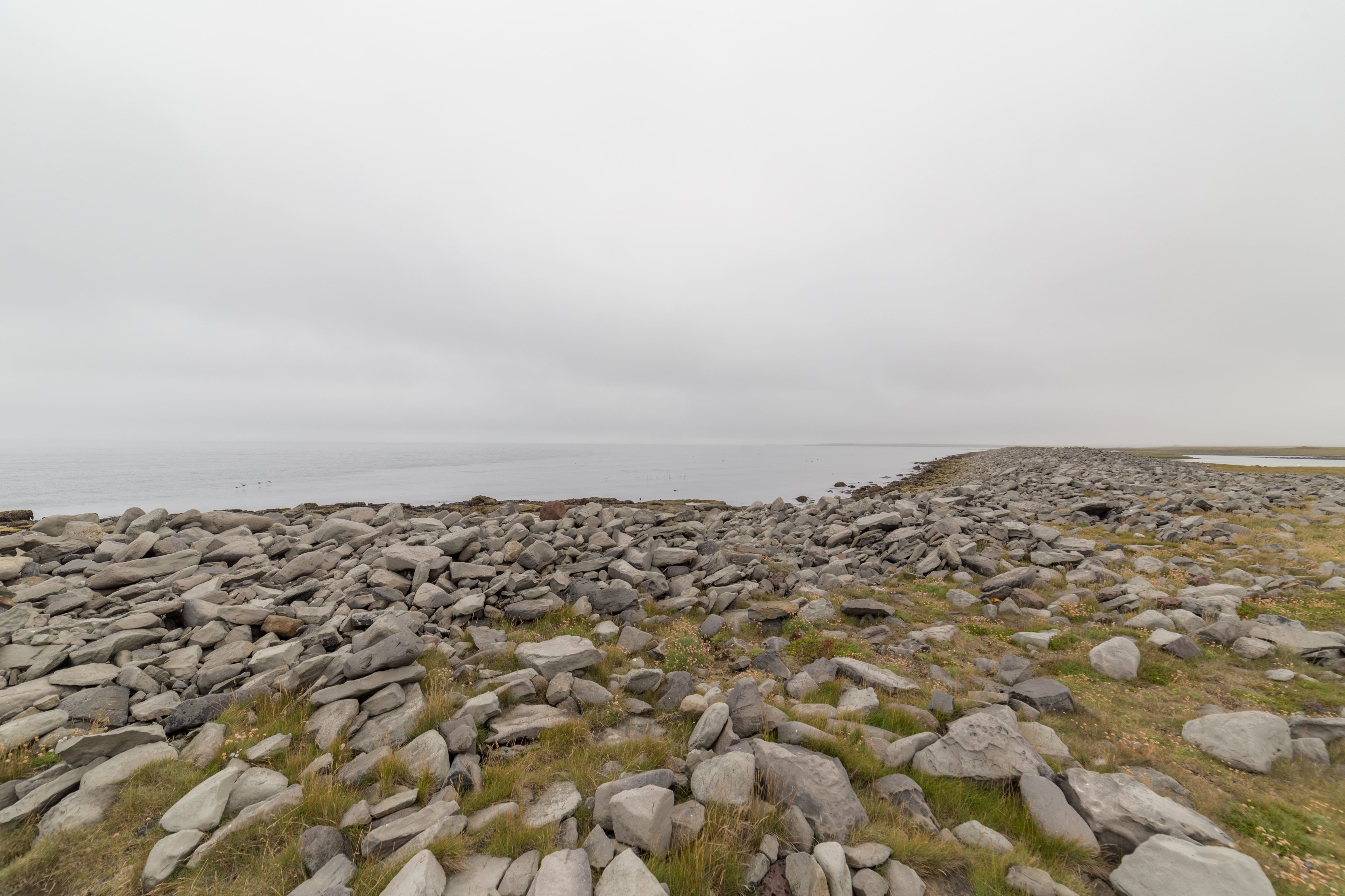
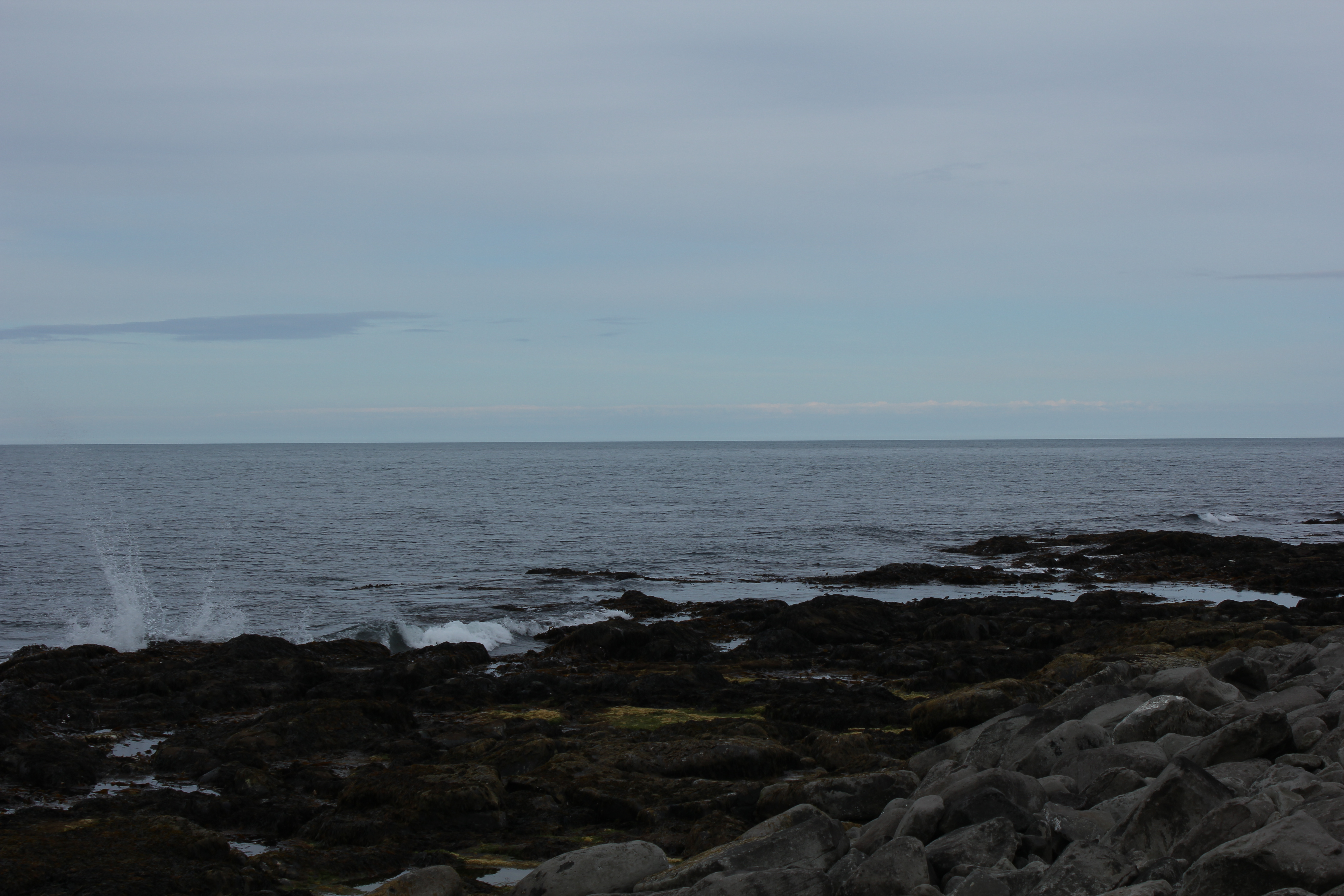
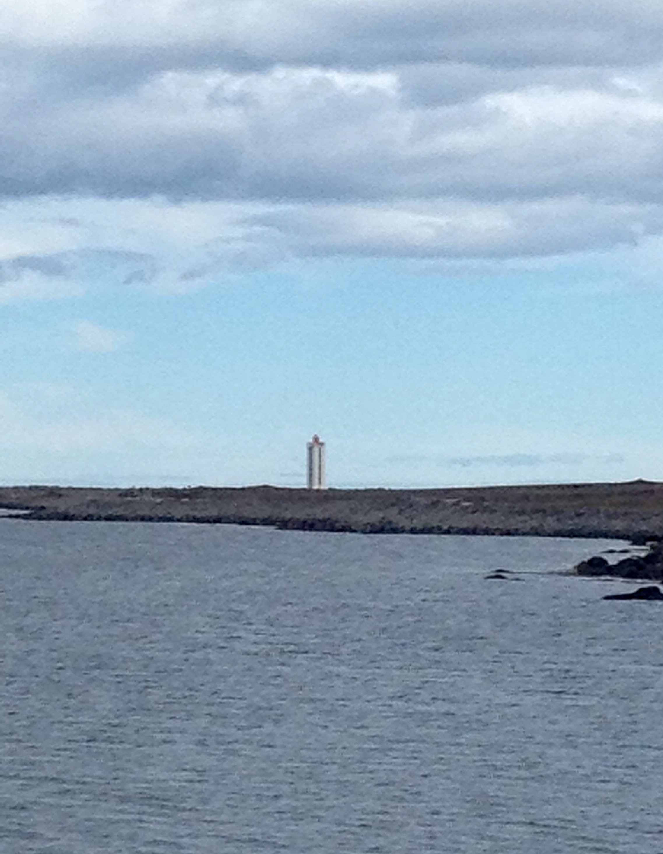
View near Hraunhafnartangi lighthouse

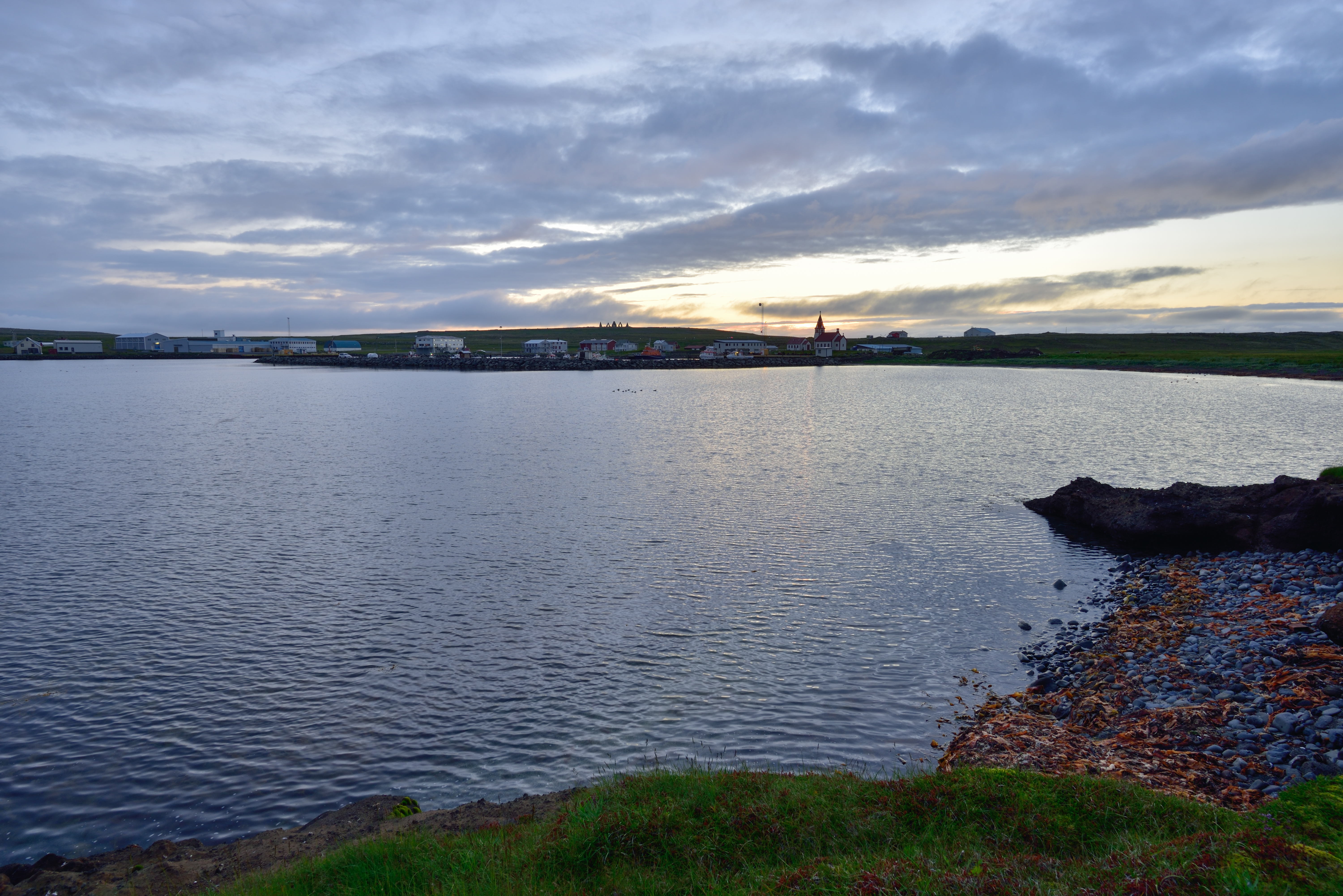
View from Norðausturvegur near Raufahöfn
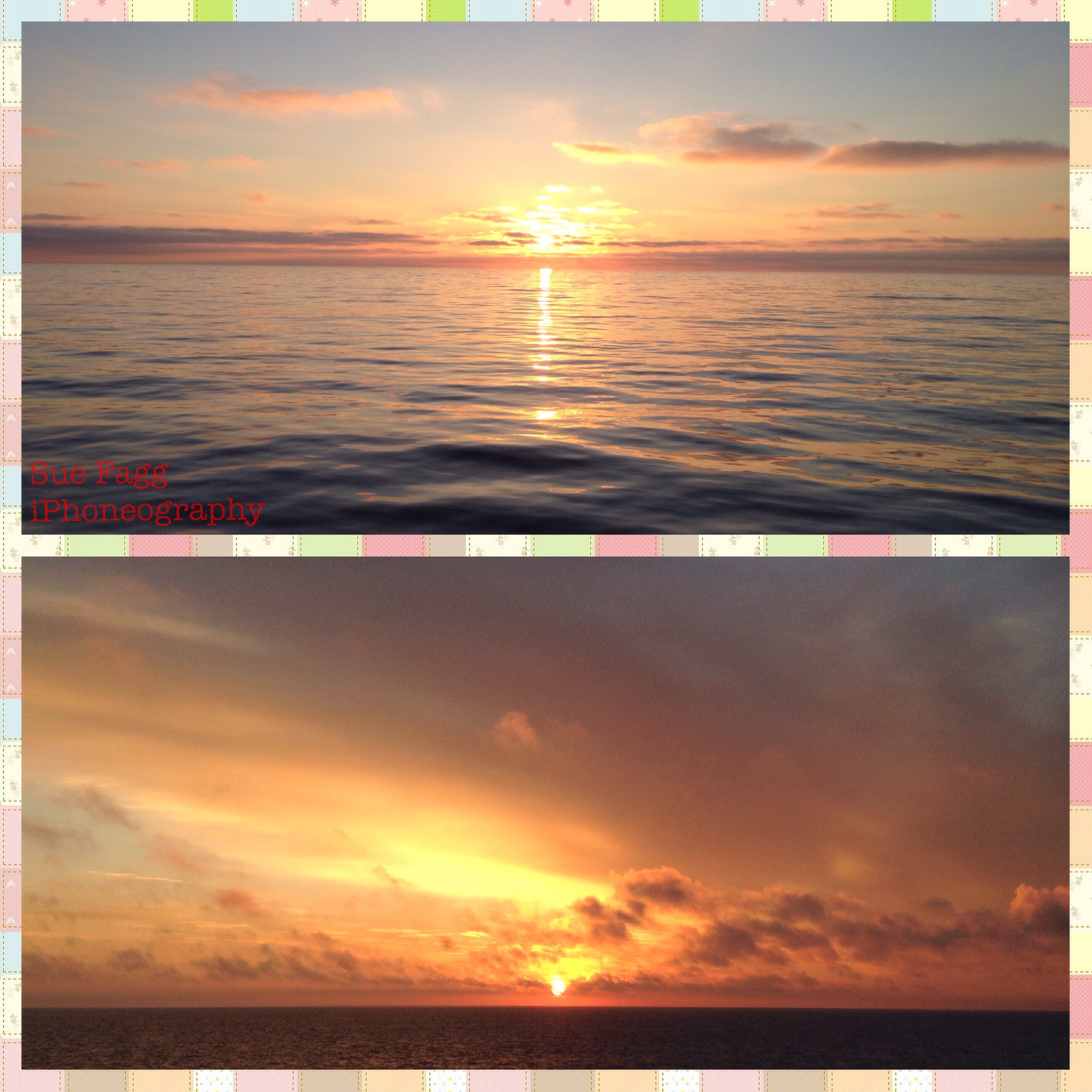
RAUFARHÖFN - sunset
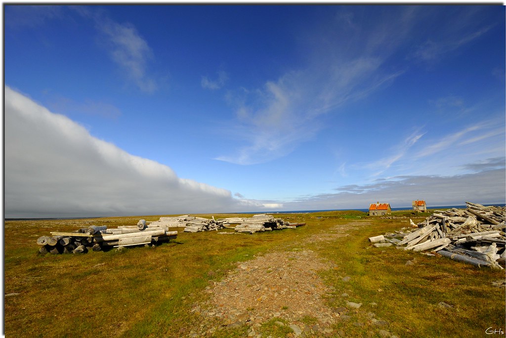
Abandoned farm in north-east cost of Iceland 2010
in the days

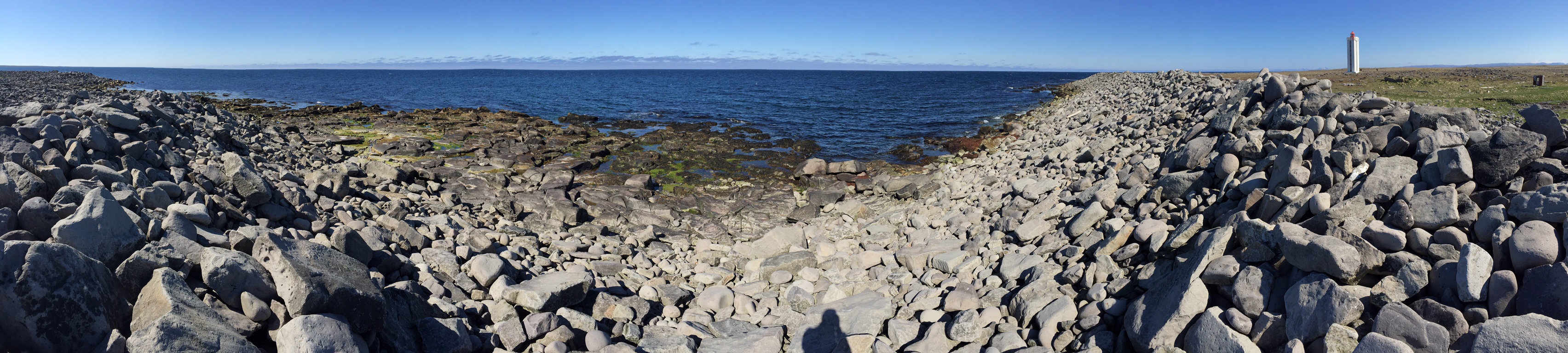
Northern Tip of Iceland
...close to the northernmost point of my trip...
From here on only water

Northern Tip of Iceland

Nördlichster Punkt Islands
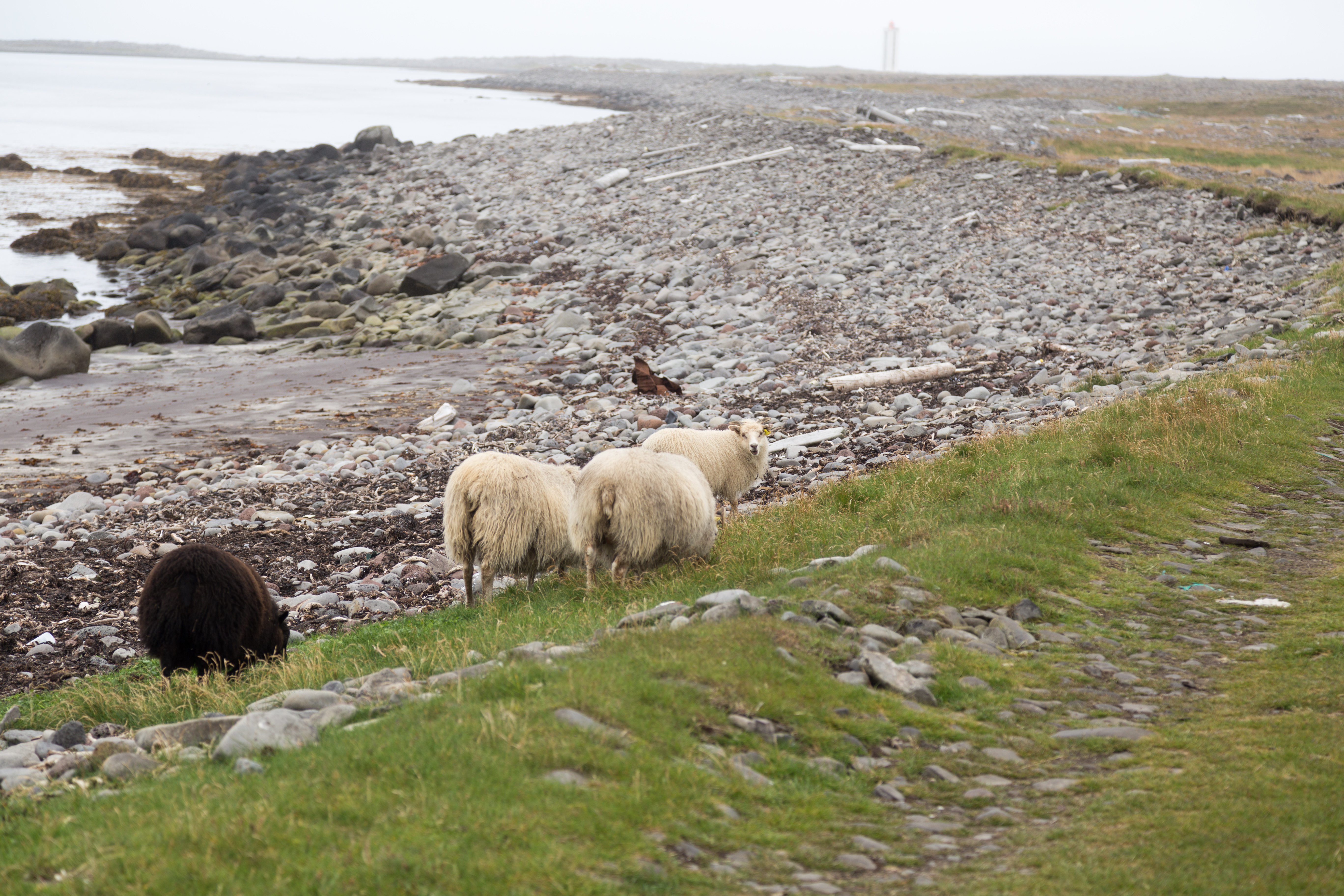
Sheep by Hraunhafnartangi lighthouse
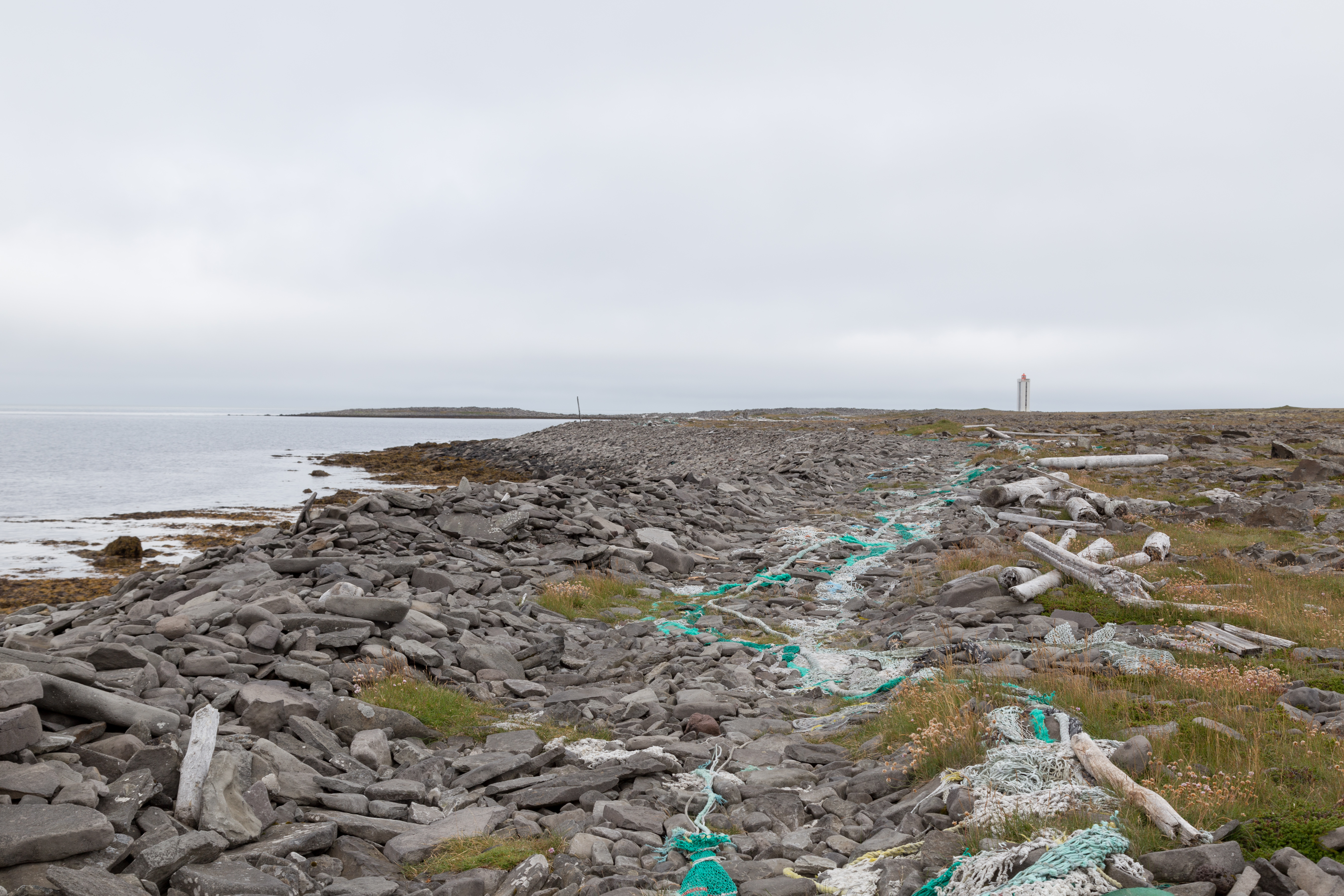
Hraunhafnartangi lighthouse
Næst nyrsti viti fastalandsins
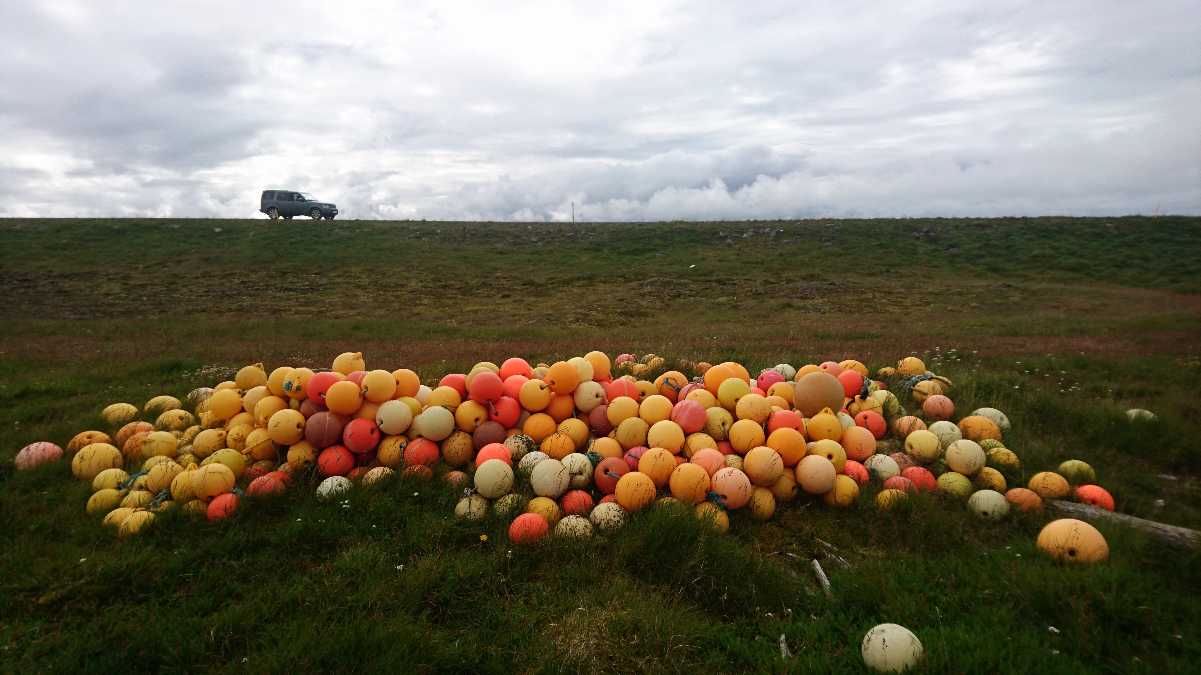
Collection found at the shore in Northern Iceland
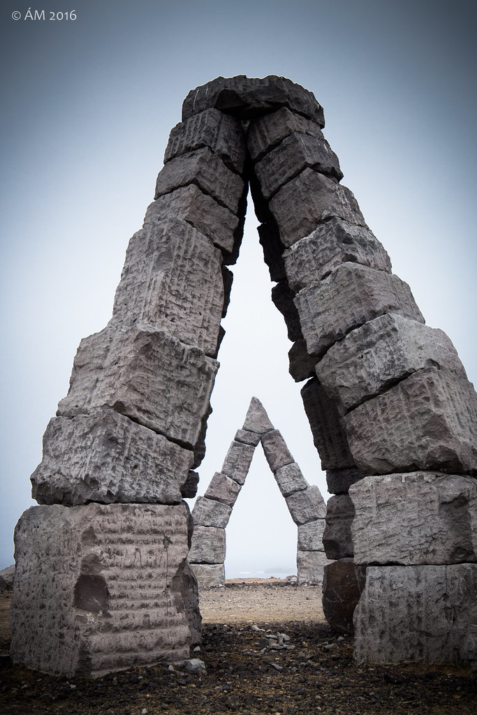
Heimskautagerðið

Heimskautagerðið
Topographic Map of Hraunhafnarvatn, Iceland
Find elevation by address:

Recent Searches:
- Elevation of Corso Fratelli Cairoli, 35, Macerata MC, Italy
- Elevation of Tallevast Rd, Sarasota, FL, USA
- Elevation of 4th St E, Sonoma, CA, USA
- Elevation of Black Hollow Rd, Pennsdale, PA, USA
- Elevation of Oakland Ave, Williamsport, PA, USA
- Elevation of Pedrógão Grande, Portugal
- Elevation of Klee Dr, Martinsburg, WV, USA
- Elevation of Via Roma, Pieranica CR, Italy
- Elevation of Tavkvetili Mountain, Georgia
- Elevation of Hartfords Bluff Cir, Mt Pleasant, SC, USA