Elevation of Howard St, Edgerton, MN, USA
Location: United States > Minnesota > Pipestone County >
Longitude: -96.132023
Latitude: 43.8728584
Elevation: 481m / 1578feet
Barometric Pressure: 96KPa
Elevation Map:
Satellite Map:
Related Photos:
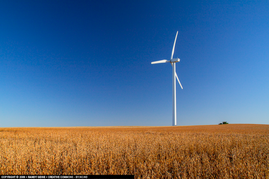
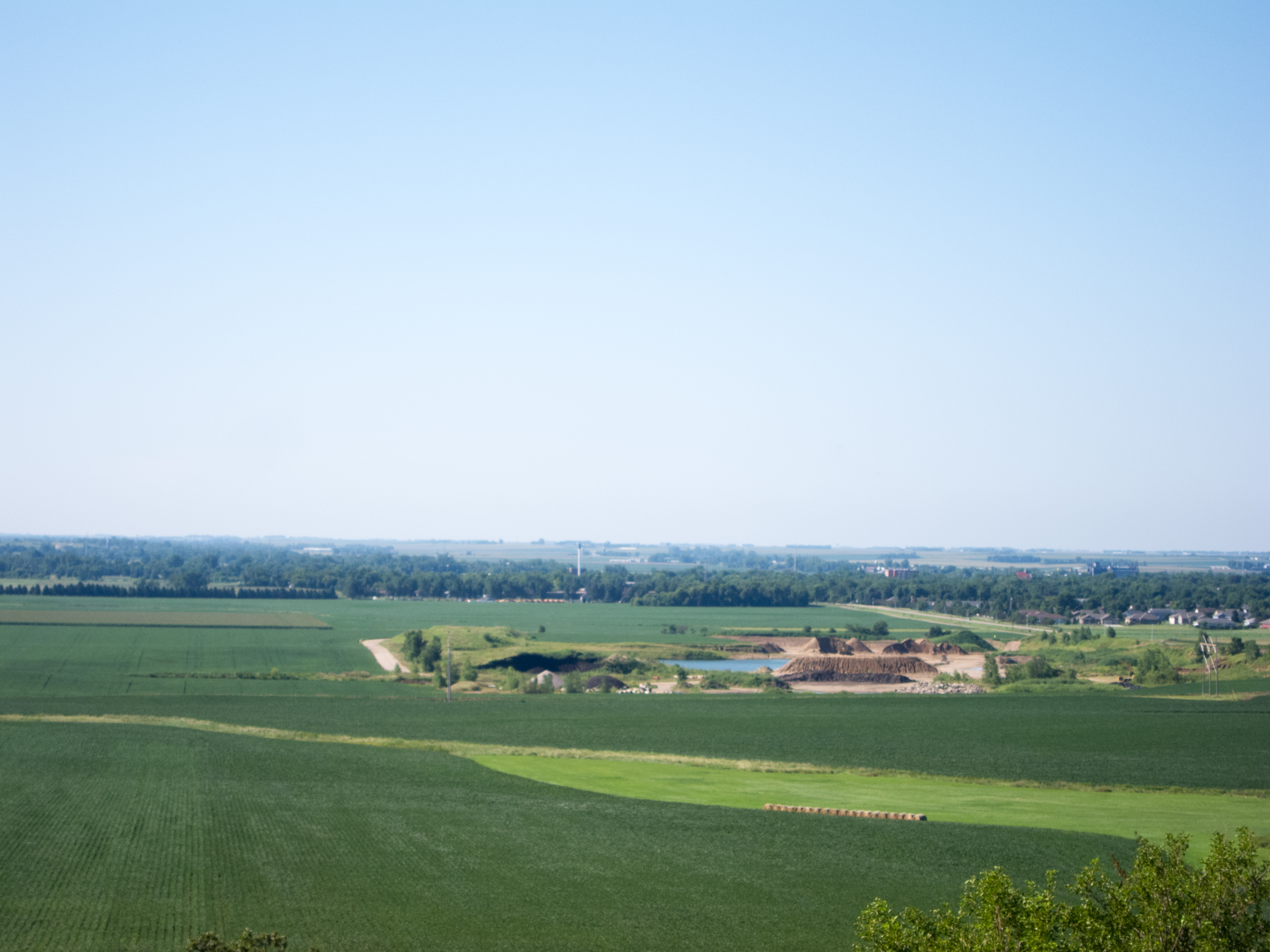
Overlooking the Harvest

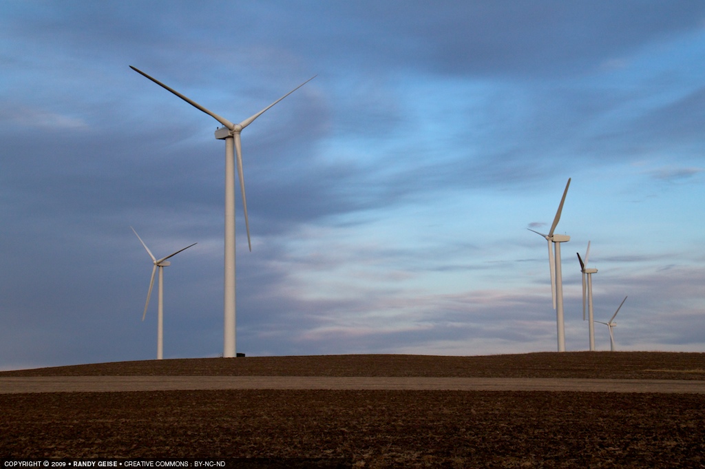
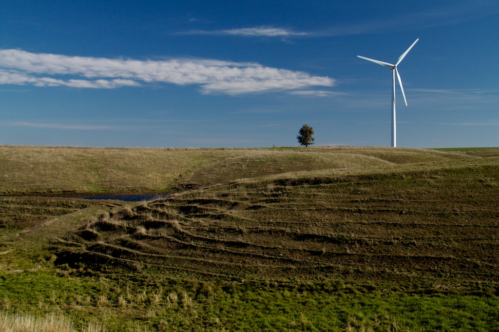
Turbines Everywhere

Awaiting the Harvest

Wind Above the Beans

Ready for Snow

Guarding the Crops

On the Ridge
Dead Air
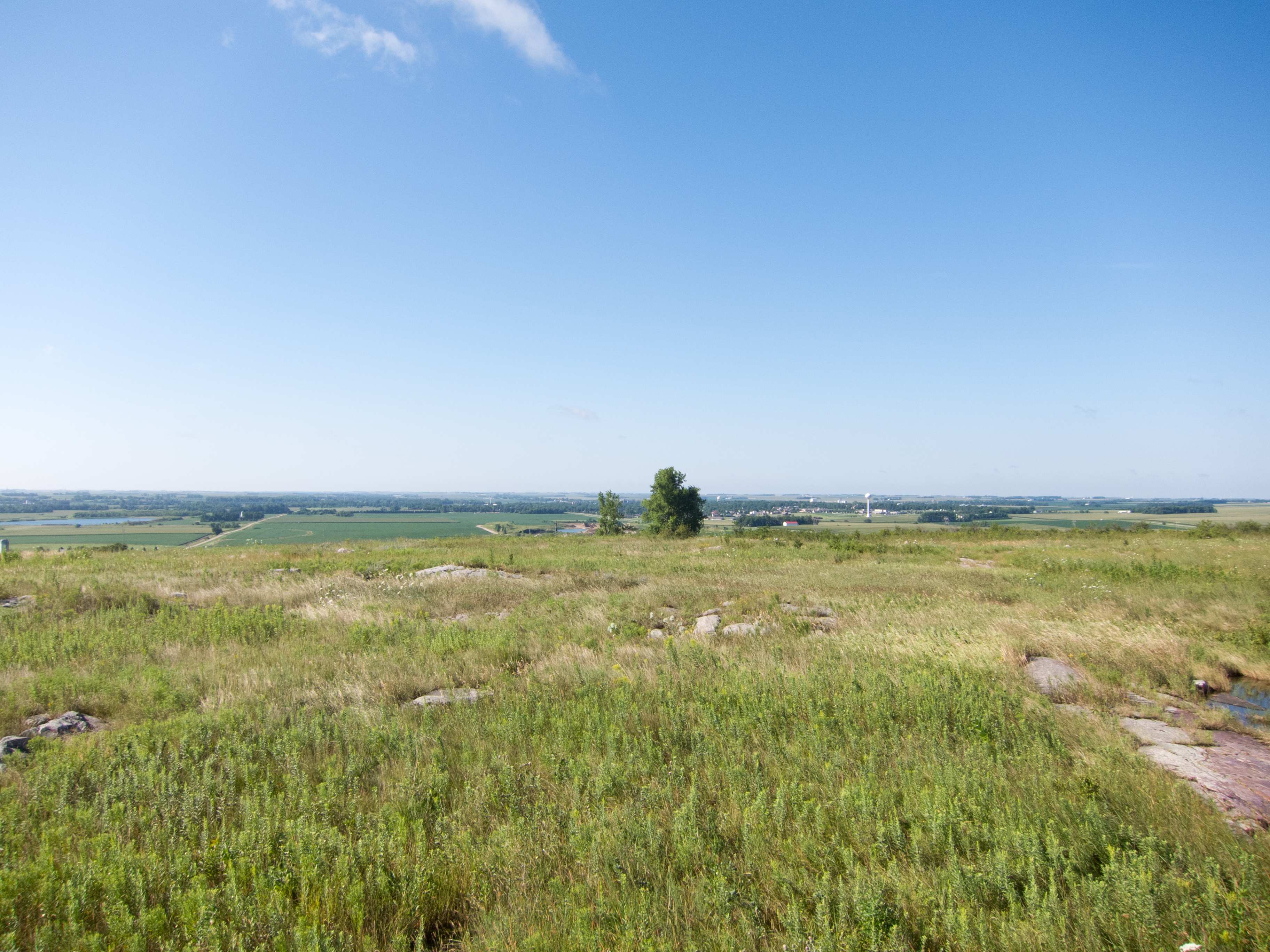
Blue Mounds State Park

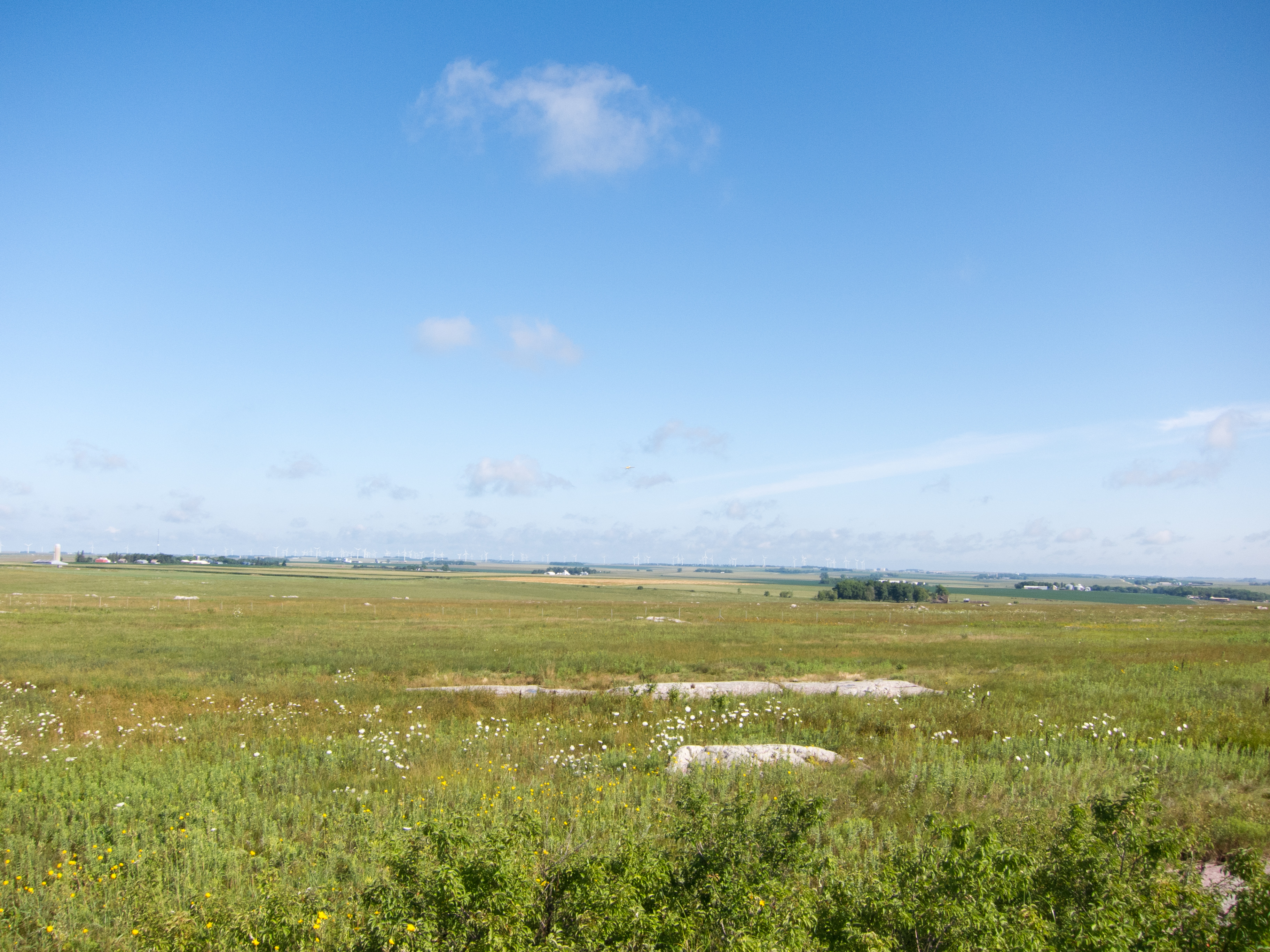
Blue Mounds State Park
Blue Mounds State Park
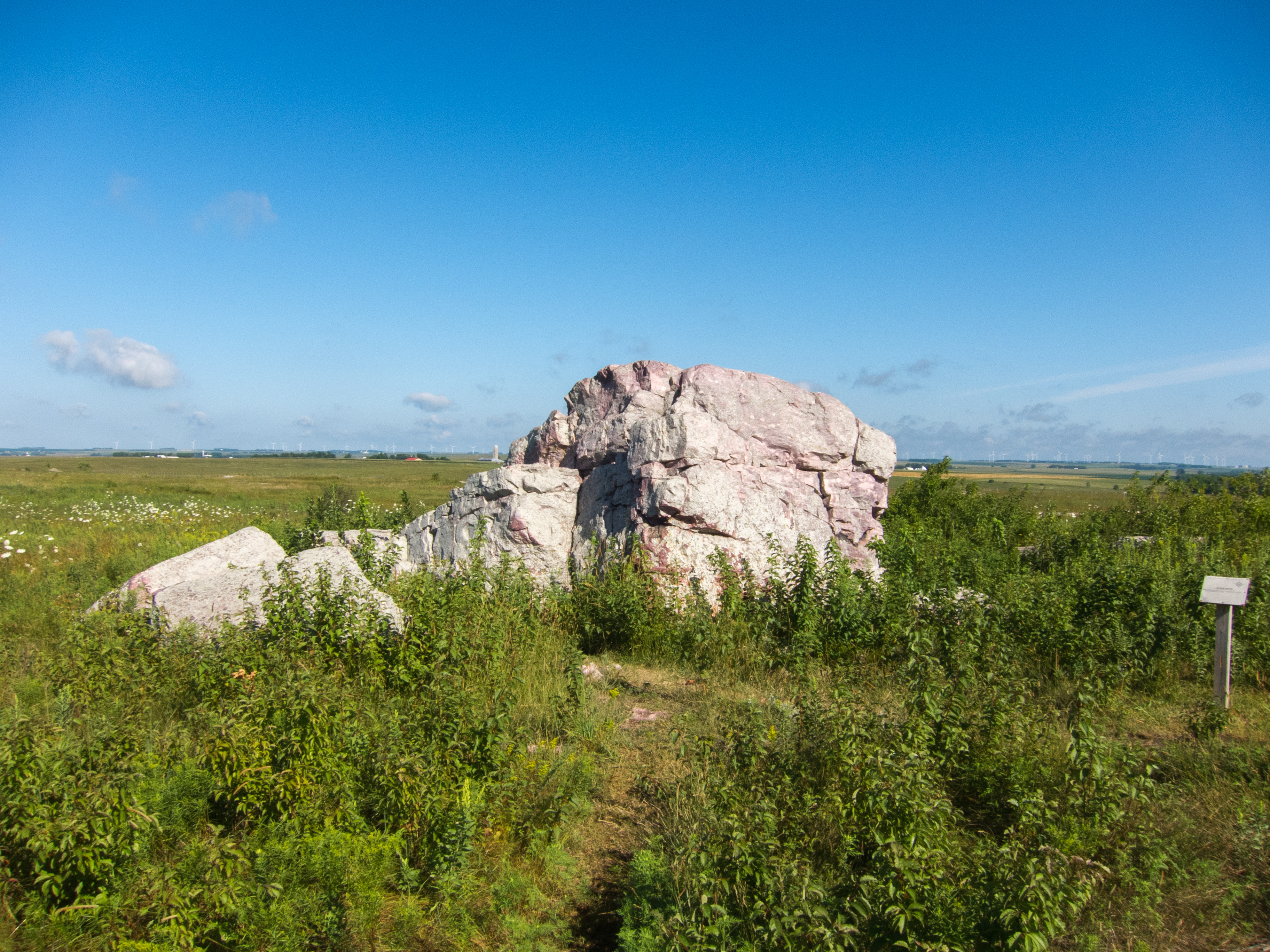
Blue Mounds State Park
Blue Mounds State Park

Town Garden-IMG_3183
Above It All
Topographic Map of Howard St, Edgerton, MN, USA
Find elevation by address:

Places near Howard St, Edgerton, MN, USA:
Elmer Township
Hatfield
2nd St, Hatfield, MN, USA
201 100th Ave
201 100th Ave
201 100th Ave
201 100th Ave
201 100th Ave
201 100th Ave
Woodstock
Blue Mounds State Park
1735 120th Ave
Mound Township
Pipestone
Grange Township
Holland
Pipestone County
Luverne
W Co Hwy 4, Luverne, MN, USA
1752 120th Ave
Recent Searches:
- Elevation of Corso Fratelli Cairoli, 35, Macerata MC, Italy
- Elevation of Tallevast Rd, Sarasota, FL, USA
- Elevation of 4th St E, Sonoma, CA, USA
- Elevation of Black Hollow Rd, Pennsdale, PA, USA
- Elevation of Oakland Ave, Williamsport, PA, USA
- Elevation of Pedrógão Grande, Portugal
- Elevation of Klee Dr, Martinsburg, WV, USA
- Elevation of Via Roma, Pieranica CR, Italy
- Elevation of Tavkvetili Mountain, Georgia
- Elevation of Hartfords Bluff Cir, Mt Pleasant, SC, USA