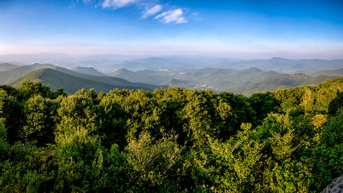
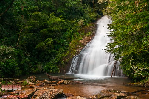
Elevation of Hornaday Rd, Blairsville, GA, USA
Location: United States > Georgia > Union County > Blairsville >
Longitude: -83.867437
Latitude: 34.759746
Elevation: 619m / 2031feet
Barometric Pressure: 94KPa
Related Photos:
Topographic Map of Hornaday Rd, Blairsville, GA, USA
Find elevation by address:

Places near Hornaday Rd, Blairsville, GA, USA:
Bryon Hood Rd, Blairsville, GA, USA
Hatchet Creek Road
30 Hunters Place
30 Hunters Place
379 Choestoe Lane
13 Spiva Cove Rd
Fisher Field
93 Spiva Cove Rd
Choestoe Lane
636 Fisher Field Rd
100 Black Gum Rd
30 Black Gum Rd
Helton Creek Falls
195 Ravens Way
Roscoe Road
Scenic Retreat Lane
150 Sticks And Stones Dr
269 Choestoe Falls Cir
507 Choestoe Falls Cir
507 Choestoe Falls Cir
Recent Searches:
- Elevation of Corso Fratelli Cairoli, 35, Macerata MC, Italy
- Elevation of Tallevast Rd, Sarasota, FL, USA
- Elevation of 4th St E, Sonoma, CA, USA
- Elevation of Black Hollow Rd, Pennsdale, PA, USA
- Elevation of Oakland Ave, Williamsport, PA, USA
- Elevation of Pedrógão Grande, Portugal
- Elevation of Klee Dr, Martinsburg, WV, USA
- Elevation of Via Roma, Pieranica CR, Italy
- Elevation of Tavkvetili Mountain, Georgia
- Elevation of Hartfords Bluff Cir, Mt Pleasant, SC, USA


