Elevation of Horní Záblatí, 33 Záblatí, Czech Republic

Location: Czech Republic > South Bohemian Region > Prachatice District > Záblatí >

Longitude: 13.9349022

Latitude: 49.0013581

Elevation: 600m / 1968feet

Barometric Pressure: 94KPa

Elevation Map:

elevation map of Horní Záblatí, 33 Záblatí, Czech Republic

Satellite Map:

Satellite map of Horní Záblatí, 33 Záblatí, Czech Republic

Related Photos:

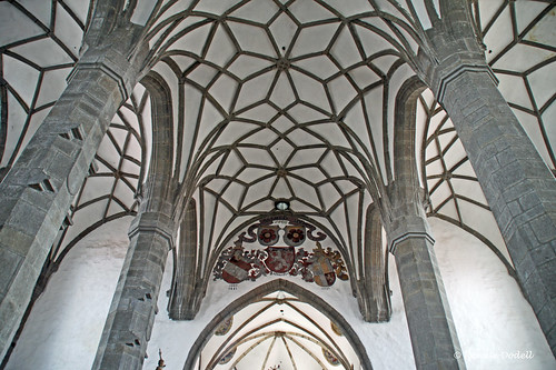
church kirche arches tschechien czechrepublic vault gotik gotic gotisch pfeiler gewölbe böhmen prachatice prachatitz mygearandmepremium mygearandmebronze mygearandmesilver mygearandmegold dorenawm
Gotic vaults
buk českárepublika jihočeskýkraj
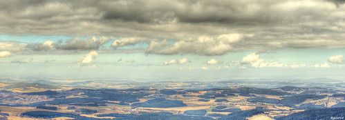
view from Boubin to Czech side of the border, Šumava mountains CZ
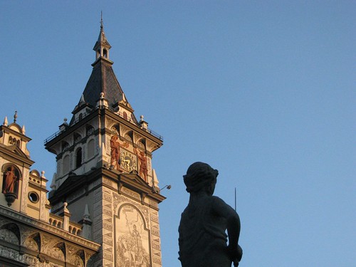
art czech stature sgraffito prachatice sp5is theperfectphotographer
Morning in Prachatice
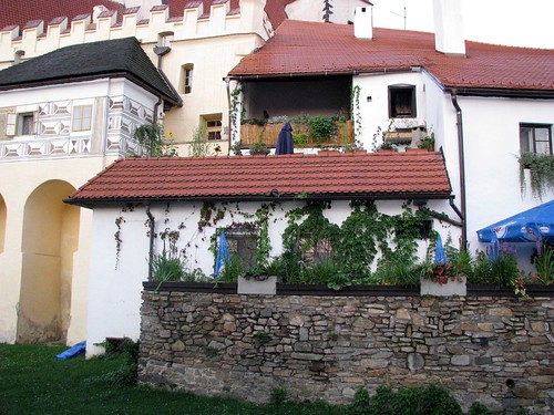
Czech Country House Palasovna
house green window architecture czech sp5is theperfectphotographer
Morning roofs from the Prachatice city garden
Dementia unit view
Czech Country House Palasovna
park travel summer lake holiday mountains tourism nature republic sheep czech hiking farm lodging sightseeing rental hills destination accommodation sumava šumava sedlo prachatice libínské křišťanovice
Czech Country House Palasovna
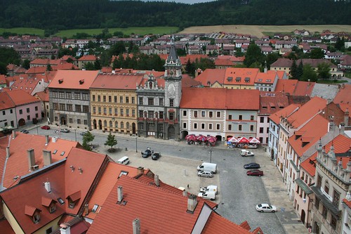
Town square view
prachatice
Velké náměstí again
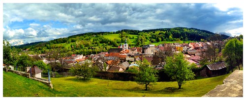
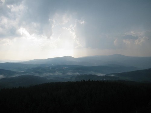
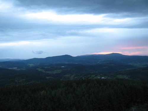
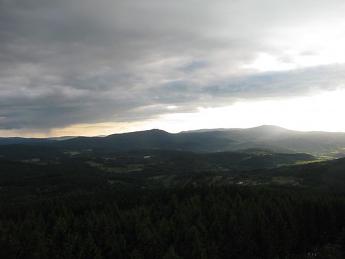
their view of the valley
snowflake christmas xmas winter mountain holiday snow mountains history nature digital forest landscape photography landscapes nikon holidays europe flickr foto czech natural hiking historic czechrepublic cz dslr whitechristmas letitsnow bohemia cesky winterwonderland cechy waldviertel sumava šumava bayerischerwald theczechrepublic southbohemia boehmerwald čechy česko böhmerwald jihočeskýkraj český südböhmen české czesky boehmen southernbohemia lesy jižníčechy volary libín jiznicechy gabreta jihočeský czrepublic boubín czechlands boubínskýprales gabretaforest libínské zlatástezka tewhiu nikond3100 southbohemiajižníčechysüdböhmen southbohemiajižníčechysüdböhmenczrepublic jihoceský gabréta γαβρήταὕλη unescobiospherereservešumava bohemiaforest jižníchčech theczechlandsčesko
Forest Gateway
autumn trees lake nature landscape czechrepublic mire šumava volary southbohemianregion soumarskérašeliniště
Soumarské rašeliniště (Mire), Šumava
photostream
...jó Vimperk!
republic czech čr líbín
Prachaticko z Libína
20130909-2001
20130901-2022
20130804-2053
motorcycle hike to Boubin in CZ
20140610-1746
20131006-1854
airport hdr southbohemia letiště cplfilter 2013 efs1755 canoneos7d strunkovice lksr
LKSR Strunkovice - na konci dráhy
20140620-2023
20120707-2025
20130620-1700
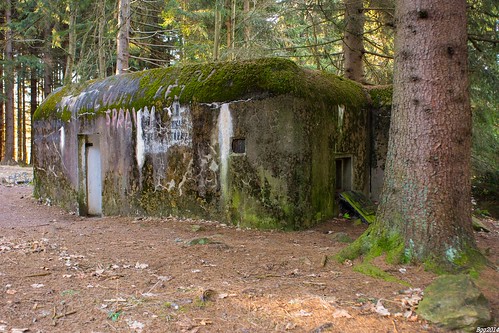
ŘOP (preWW2 fortification) Kubova Huť, Šumava mountains CZ
20130620-1655
20120924-1913
20140620-2005
českárepublika jihočeskýkraj hornívltavice
Boubín forest, Šumava mountains CZ
20140707-2121pt
czechrepublic šumava česko čr
Šumava 11/2014