Elevation of Hoppoppvegen, Eina, Norway
Location: Norway > Oppland > Vestre Toten > Eina >
Longitude: 10.6180438
Latitude: 60.5430757
Elevation: 535m / 1755feet
Barometric Pressure: 95KPa
Elevation Map:
Satellite Map:
Related Photos:
17.02.13
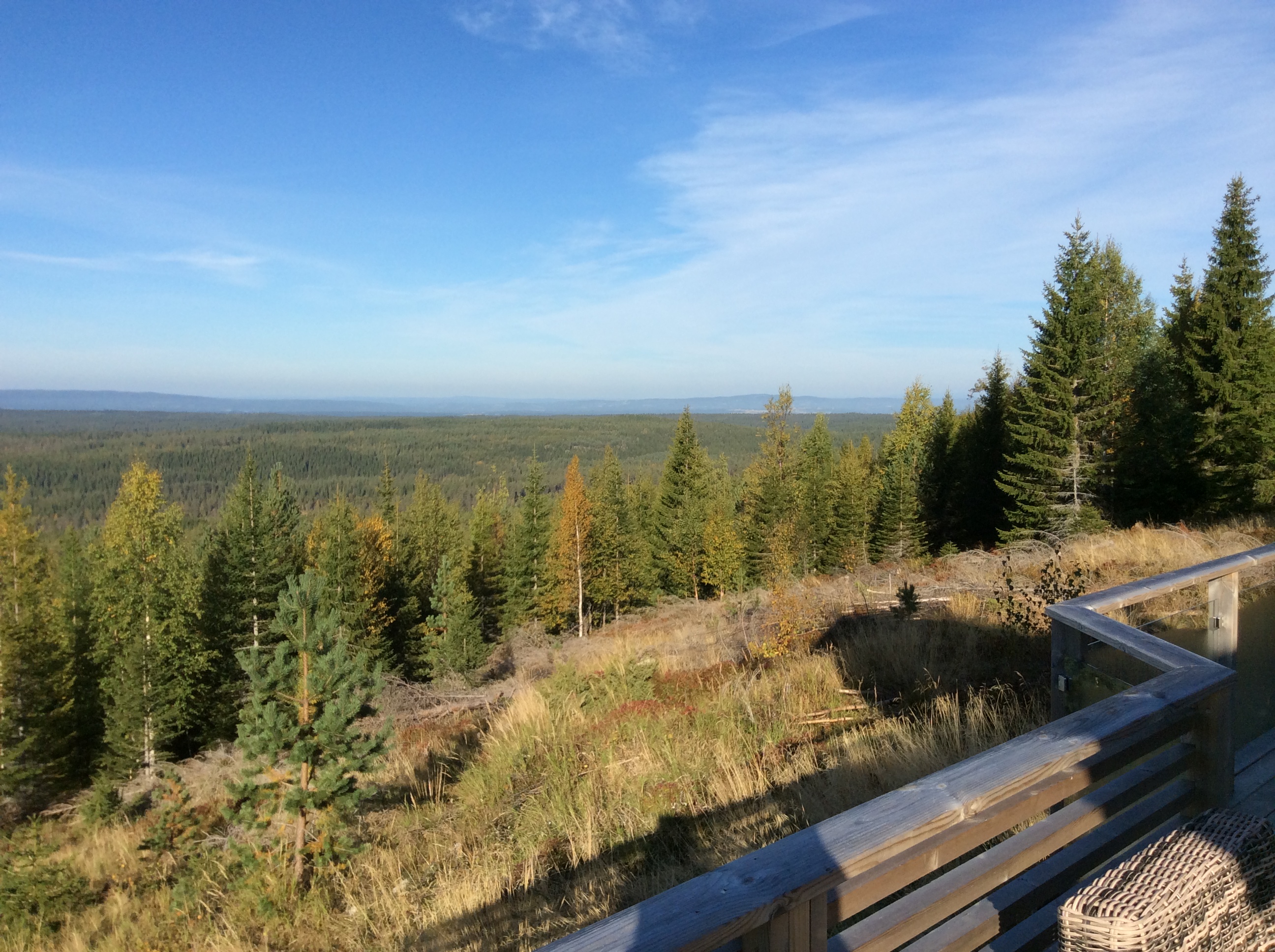
Views from seat 10
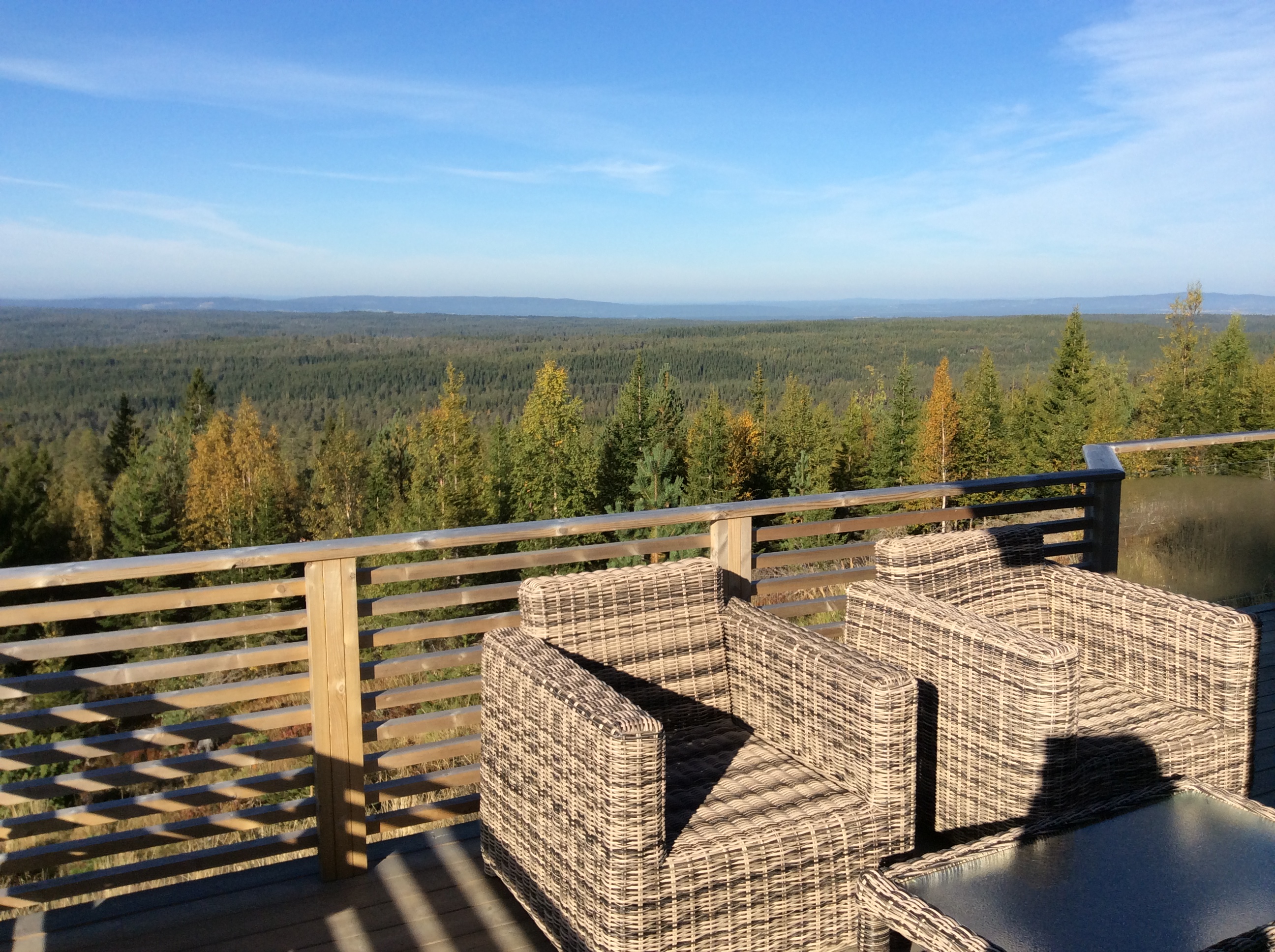
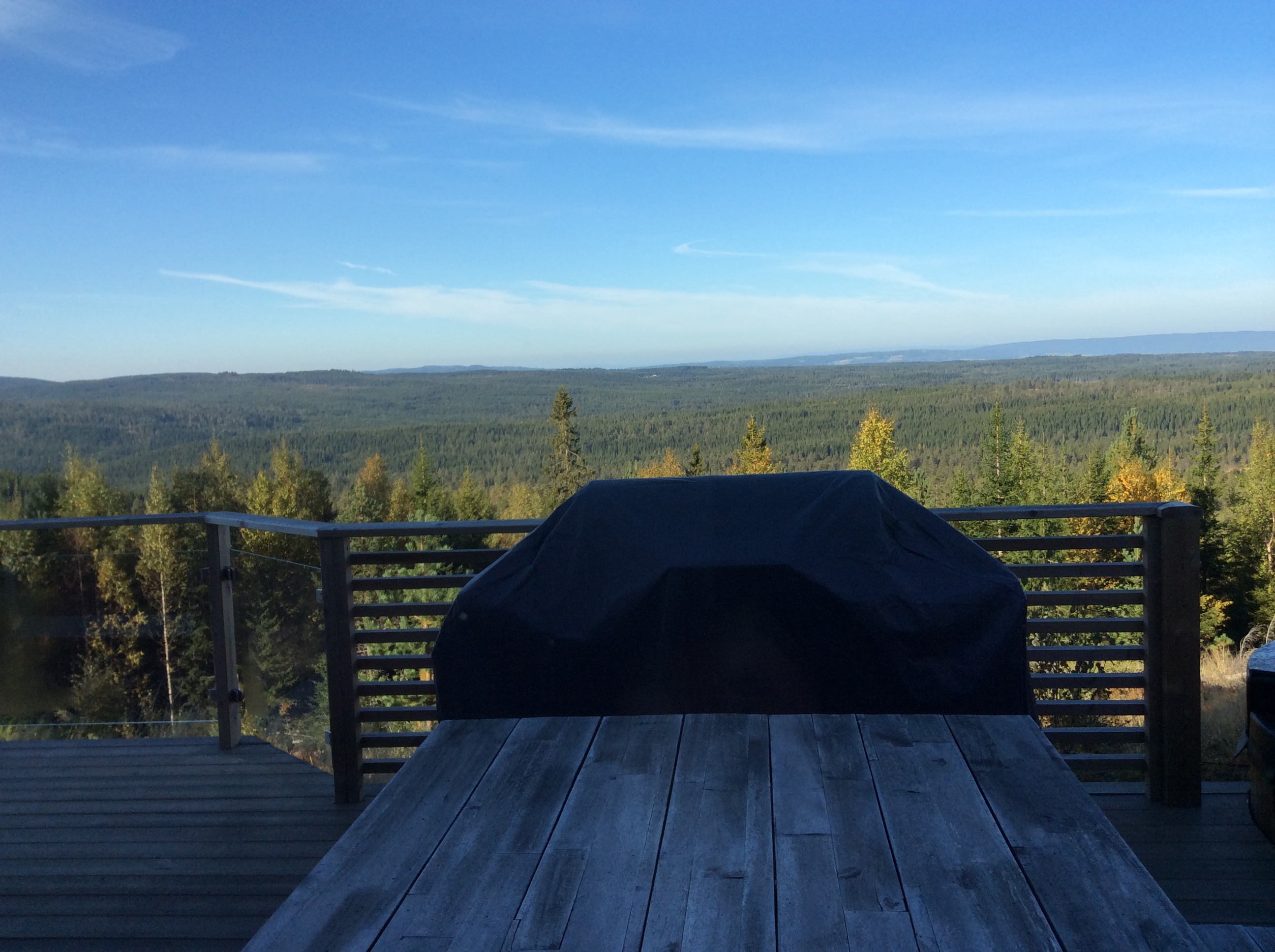
Views from the cabin
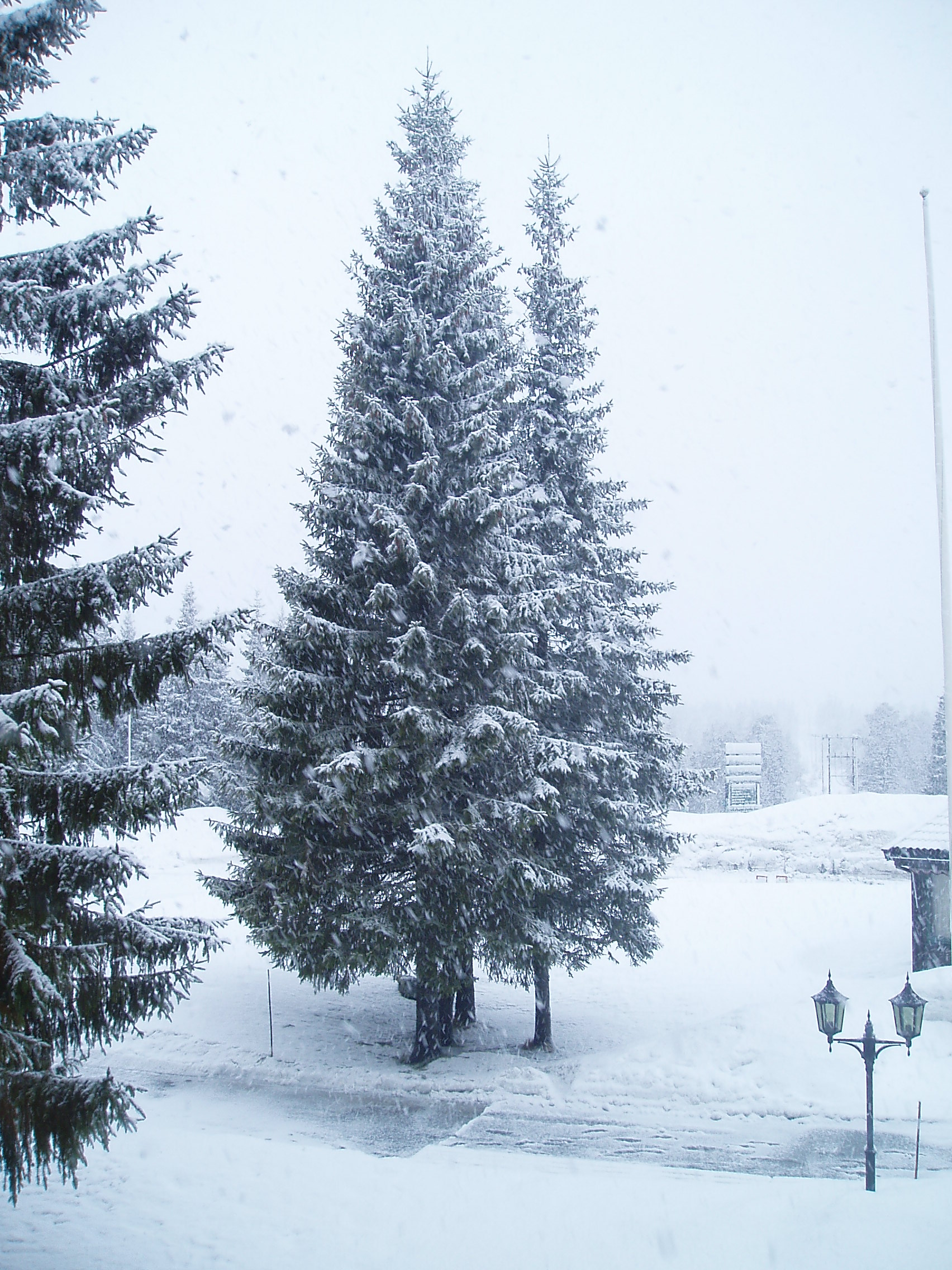
View from the Window
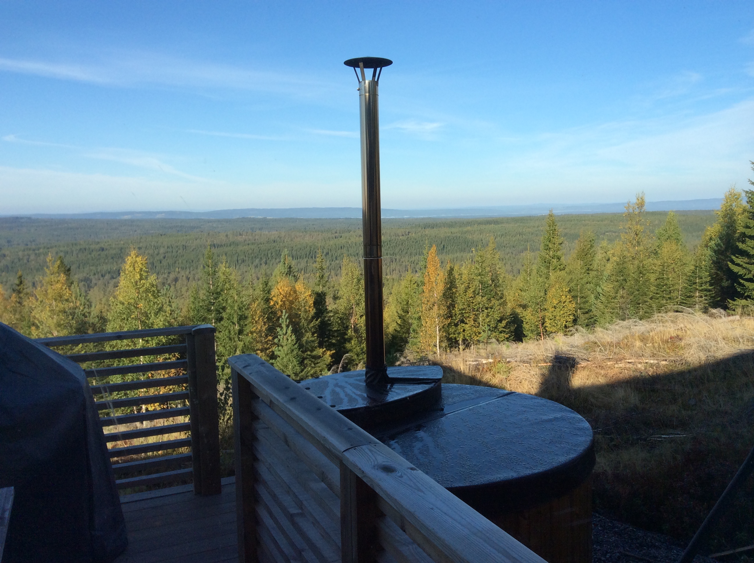
Views from the cabin
Views from the cabin
Views from the cabin
View from the train between Oslo and Eina
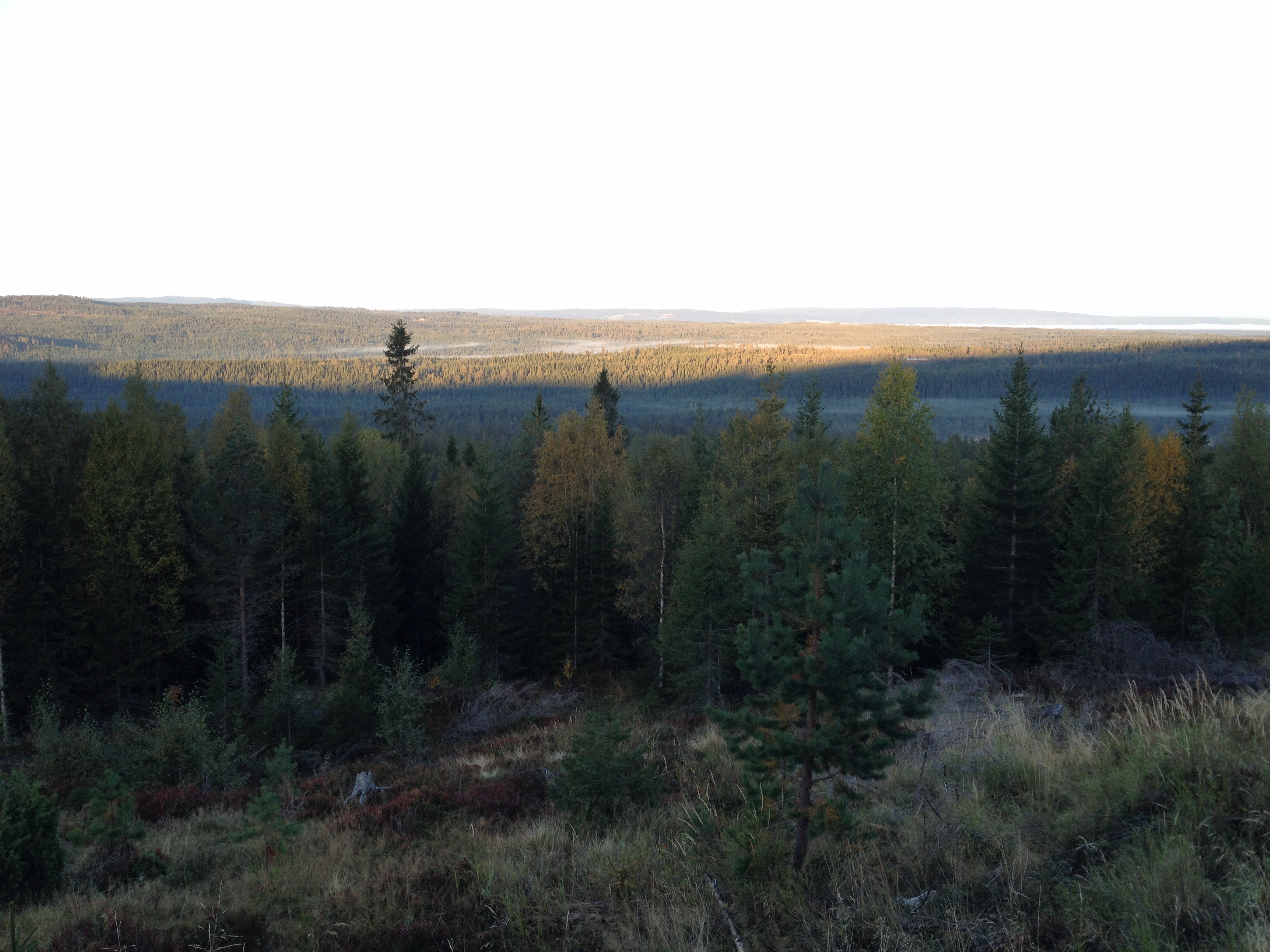
View from the cabin
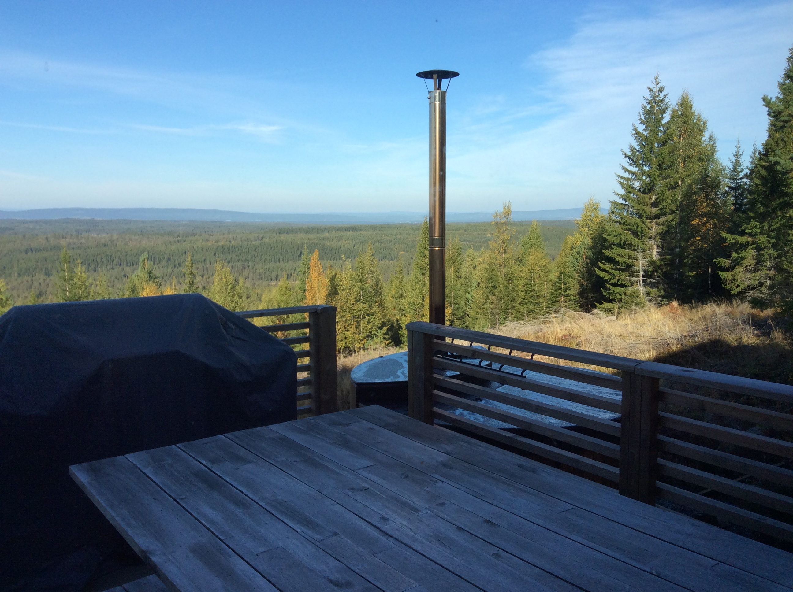
Views from the cabin
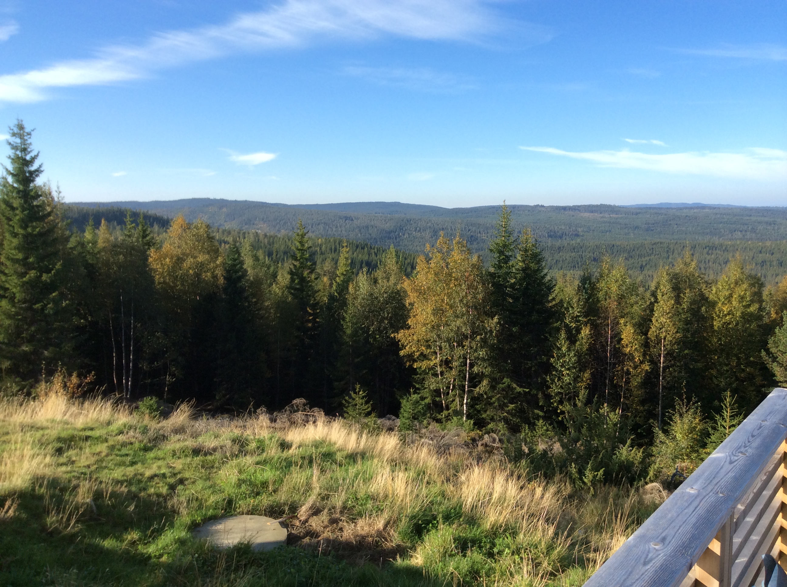
Views from the cabin

Winter wonderland fatty

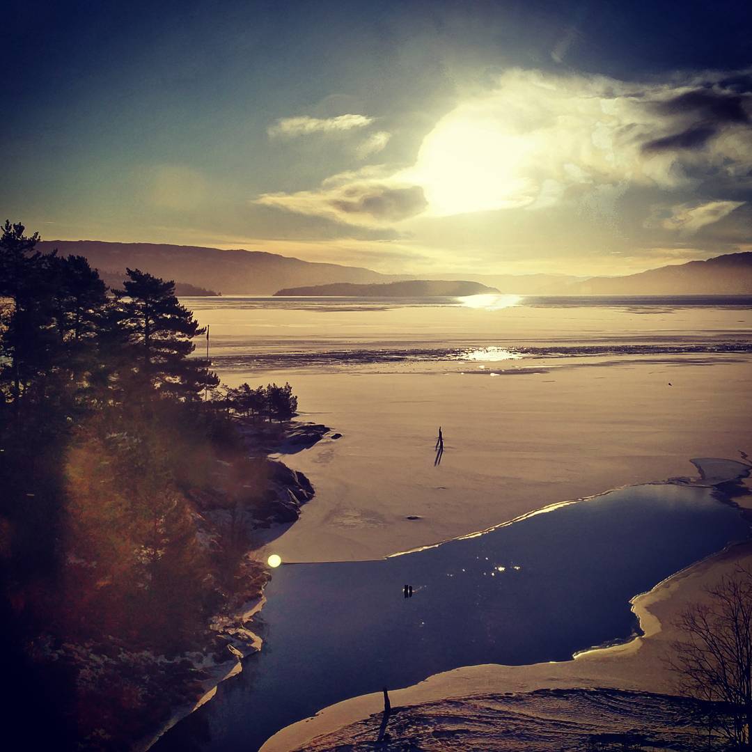
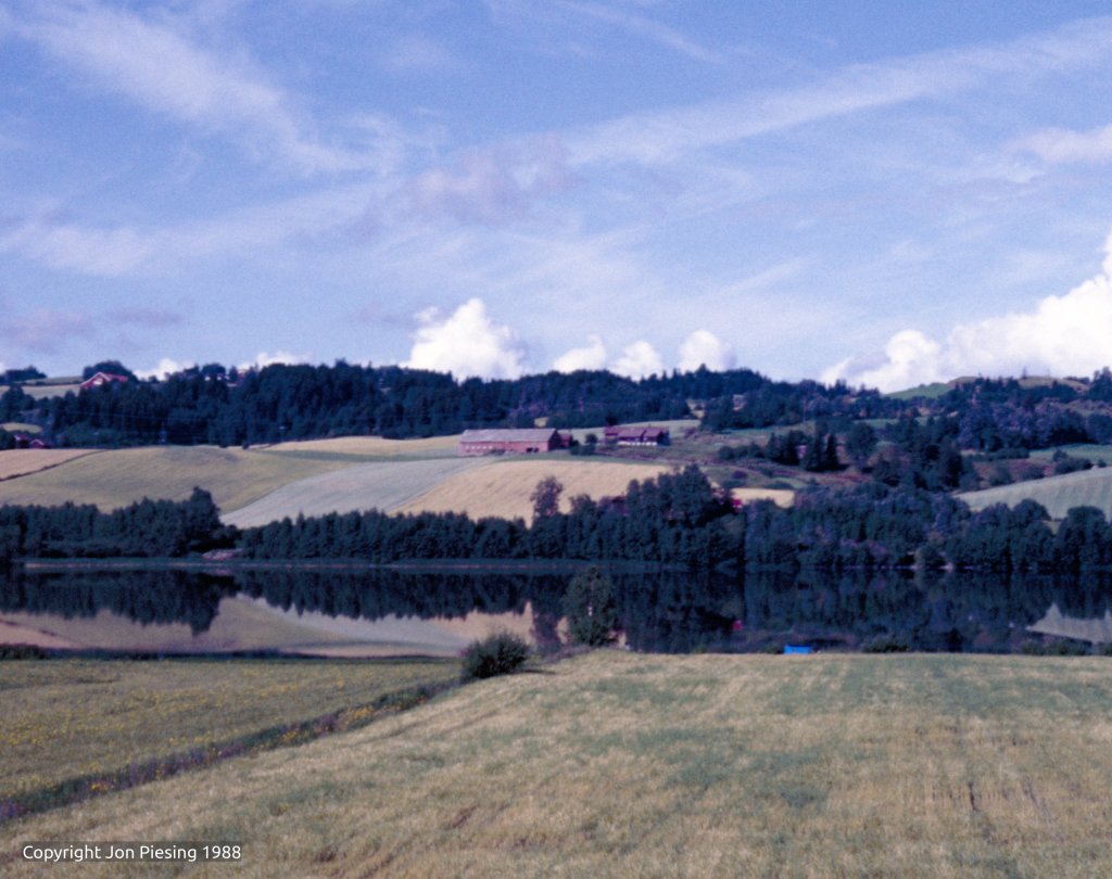
Randsfjorden at dawn
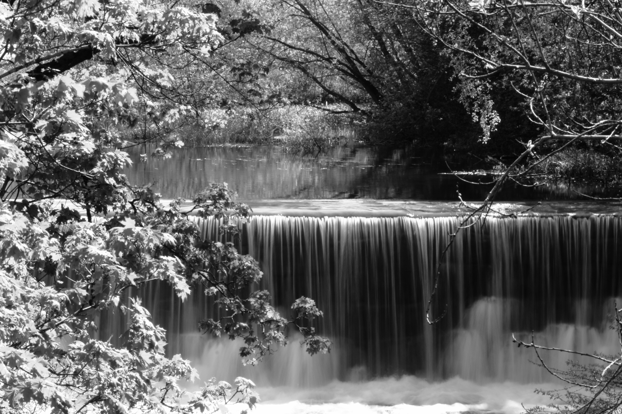
Mølladammen
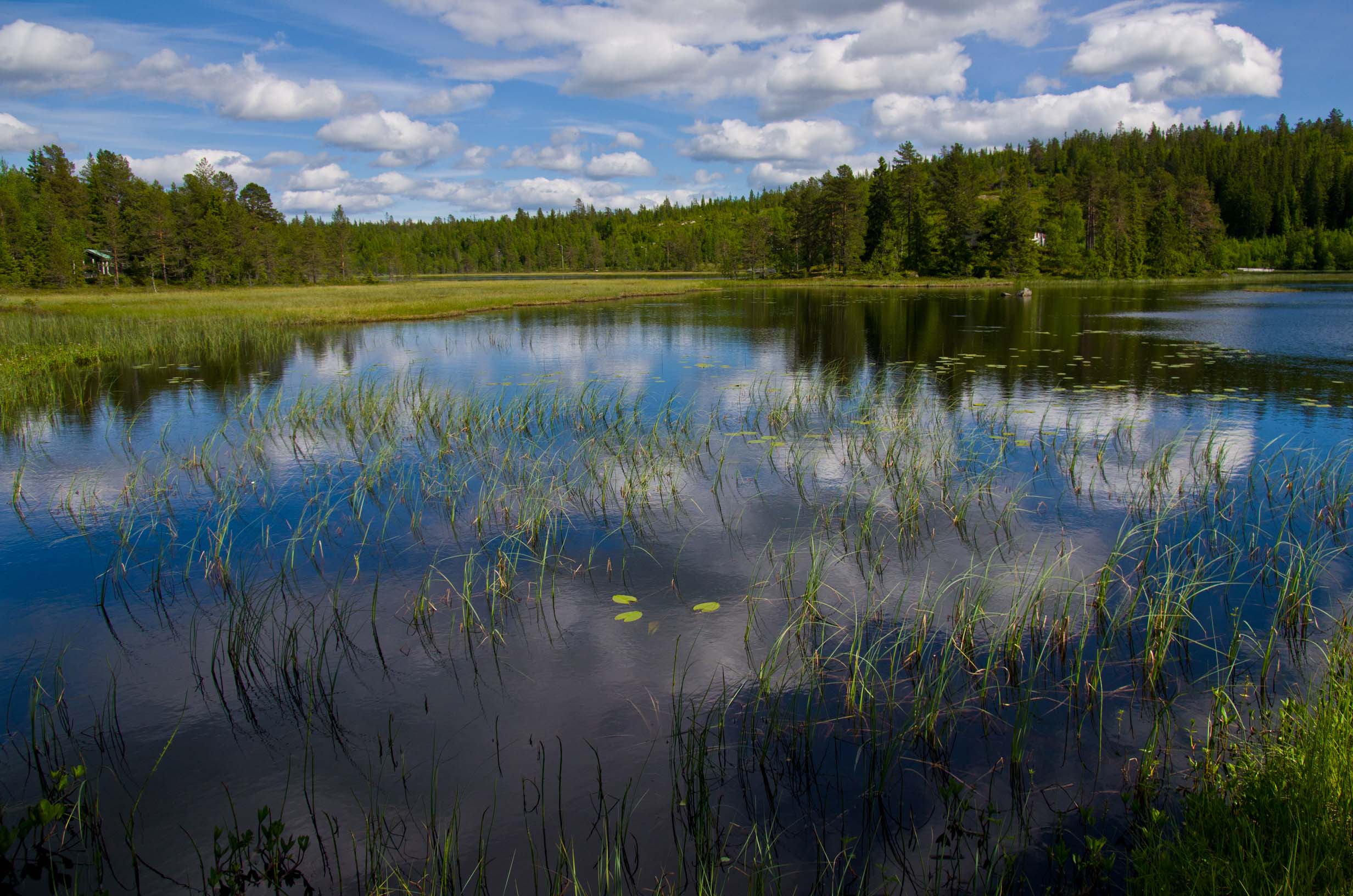
Lake, Norway

Kveldsbading på @juvente sin sommerleir :)
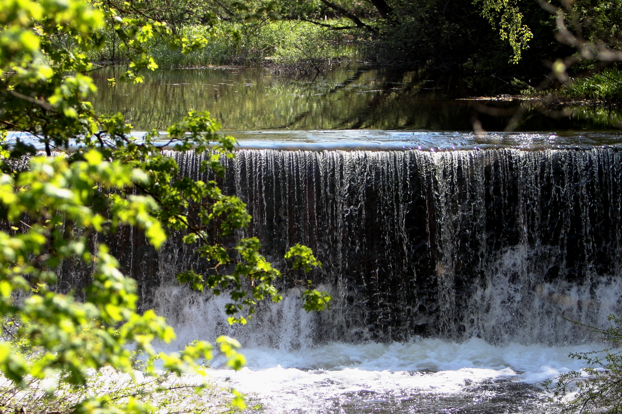
Mølladammen
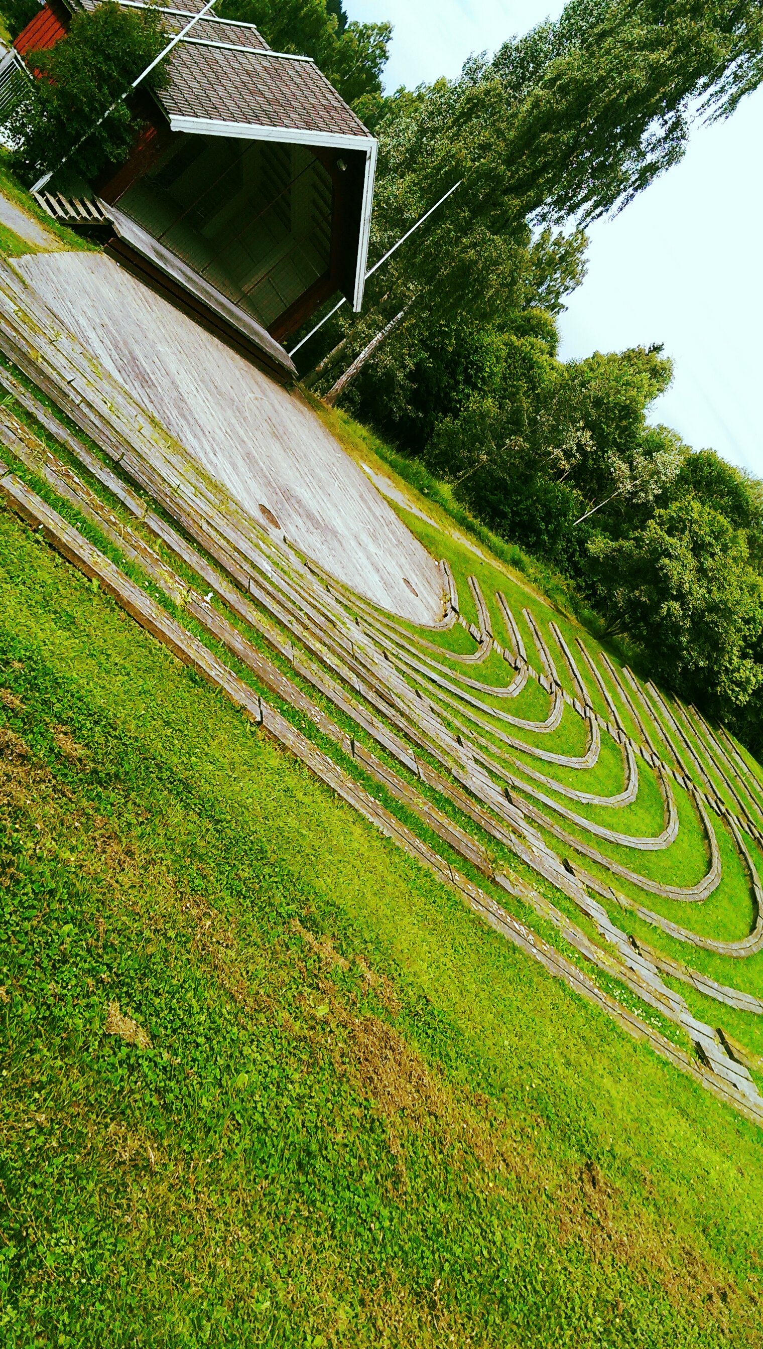
Størenslunden

Taekwondo training outside

Norge 2012-35

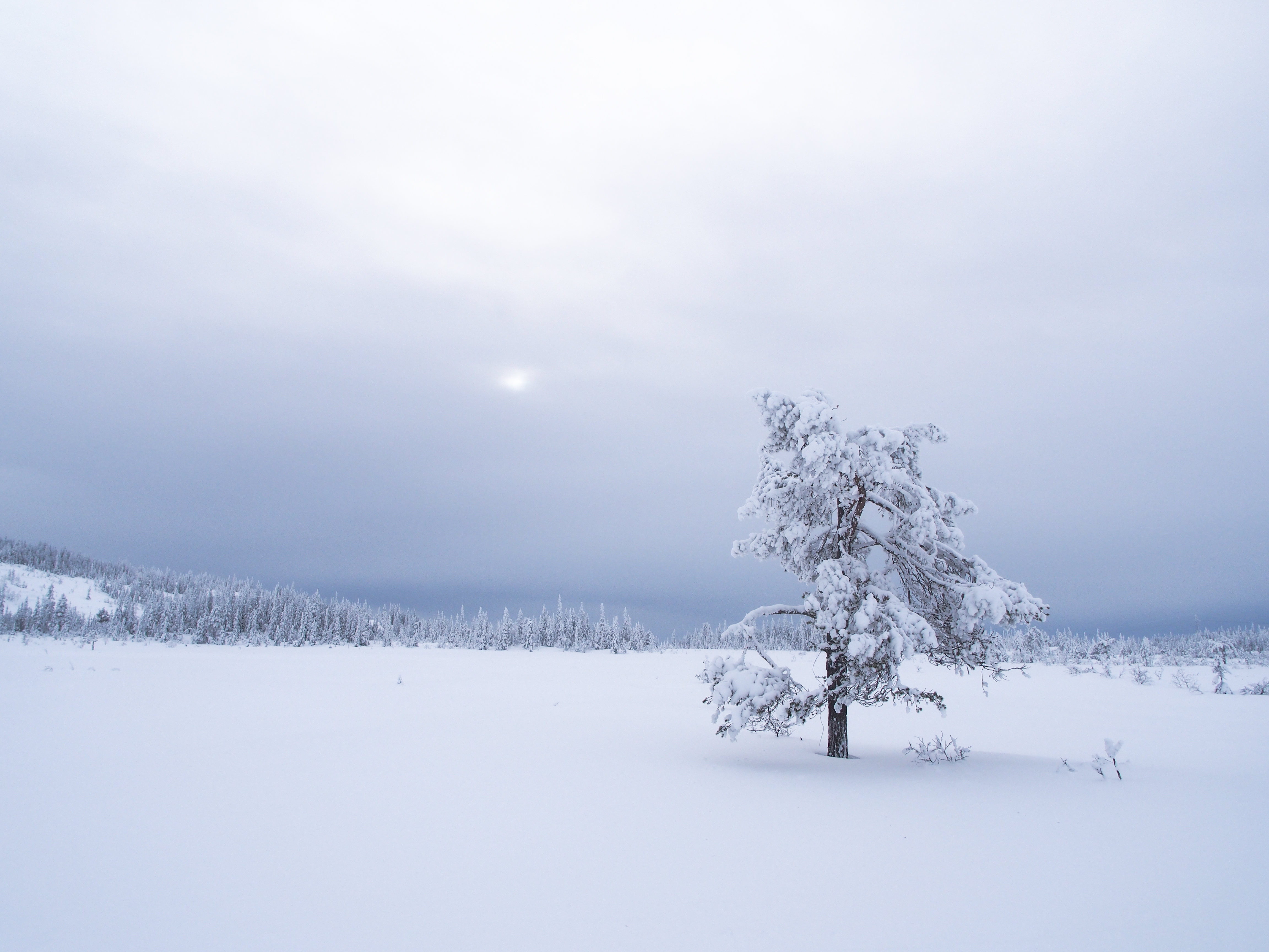
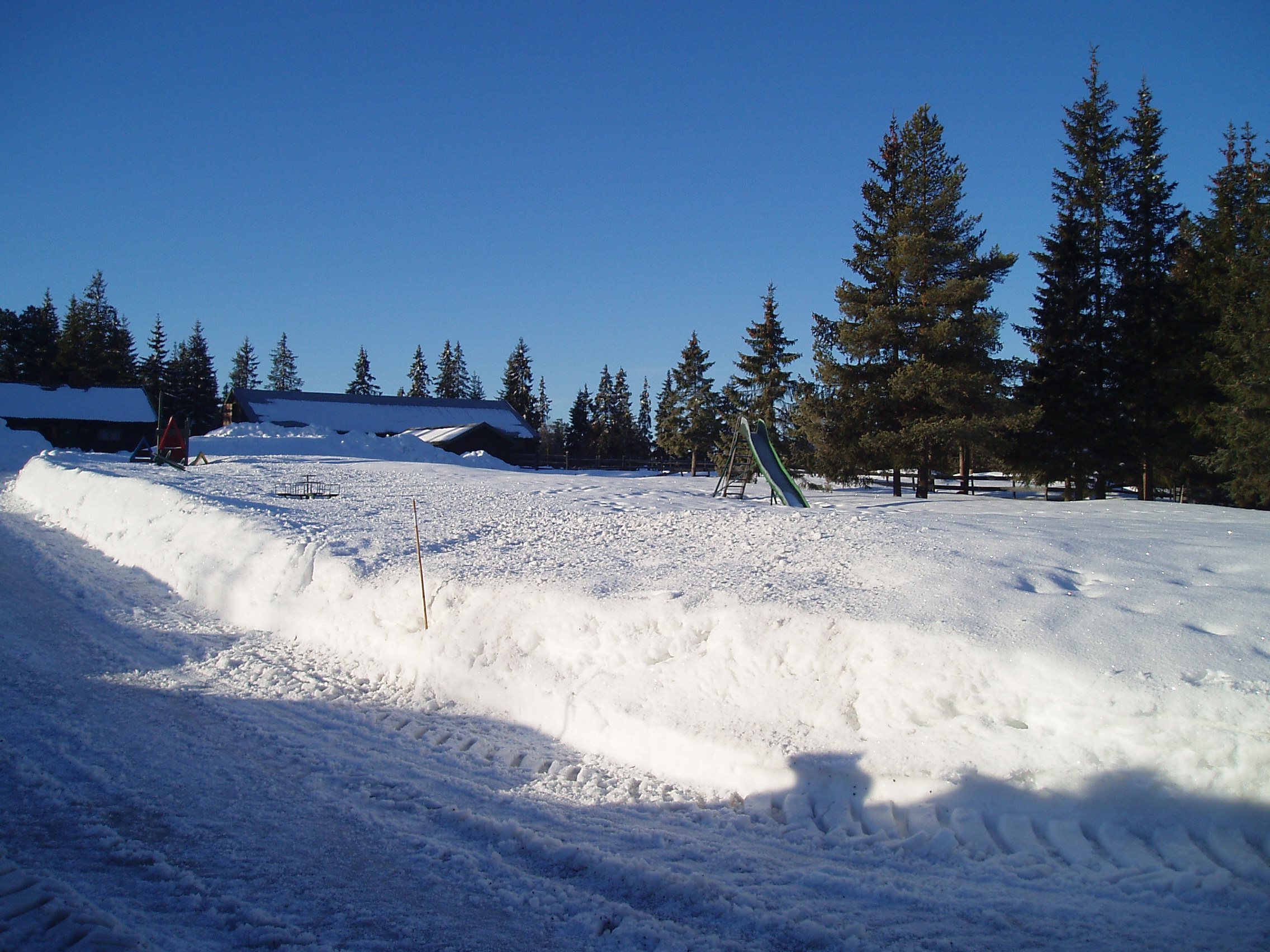
Winter landscape

Tjuvåskampen
Gonna be a Nice Day!
Topographic Map of Hoppoppvegen, Eina, Norway
Find elevation by address:

Places near Hoppoppvegen, Eina, Norway:
Eina
Vestre Toten
Skåvegen 32, Brandbu, Norway
Raufoss
Hornslinna, Brandbu, Norway
Gjøvik
Hunnsvegen 25
Gjøvik Stasjon
Trostrud - Freno As
Vestsidevegen, Bjoneroa, Norway
Bjoneroa
Krokfossvegen 20, Bjoneroa, Norway
Krokfossvegen 36, Bjoneroa, Norway
Krokfossvegen 44, Bjoneroa, Norway
Gjøvik
Helgøyvegen, Nes På Hedmark, Norway
Paradisvegen
Mjøsa
Helgøyvegen, Nes På Hedmark, Norway
Jessnesvegen, Furnes, Norway
Recent Searches:
- Elevation of Corso Fratelli Cairoli, 35, Macerata MC, Italy
- Elevation of Tallevast Rd, Sarasota, FL, USA
- Elevation of 4th St E, Sonoma, CA, USA
- Elevation of Black Hollow Rd, Pennsdale, PA, USA
- Elevation of Oakland Ave, Williamsport, PA, USA
- Elevation of Pedrógão Grande, Portugal
- Elevation of Klee Dr, Martinsburg, WV, USA
- Elevation of Via Roma, Pieranica CR, Italy
- Elevation of Tavkvetili Mountain, Georgia
- Elevation of Hartfords Bluff Cir, Mt Pleasant, SC, USA