Elevation of Hopewell, VA, USA
Location: United States > Virginia >
Longitude: -77.287200
Latitude: 37.3043154
Elevation: 16m / 52feet
Barometric Pressure: 101KPa
Elevation Map:
Satellite Map:
Related Photos:

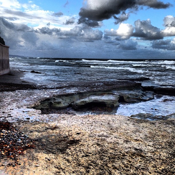
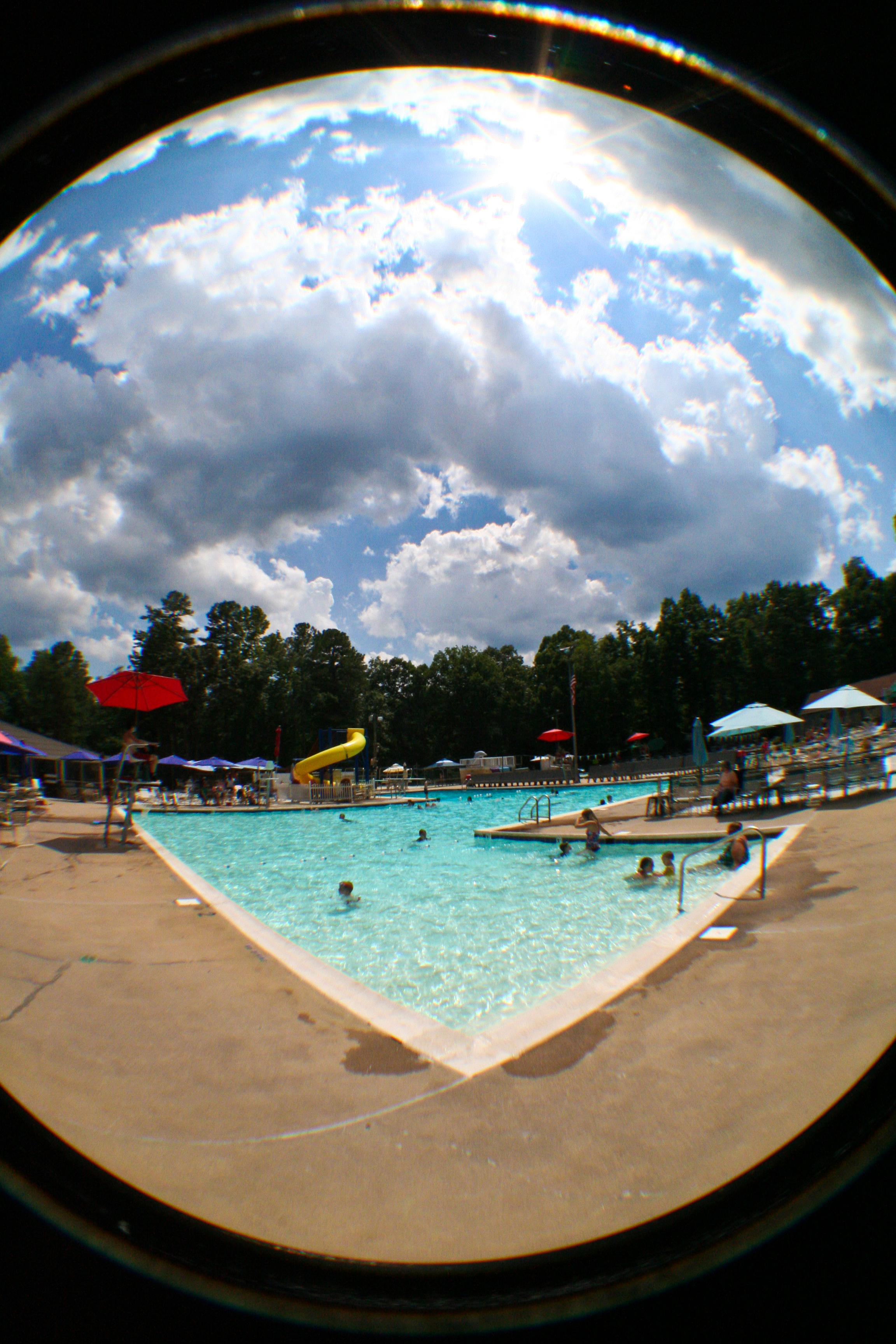
Great view of the clouds this morning. #weather #ccvawx #rvawx

Malvern Hill Battlefield -- Historic Marker looking toward the Union guns

Fort Stedman

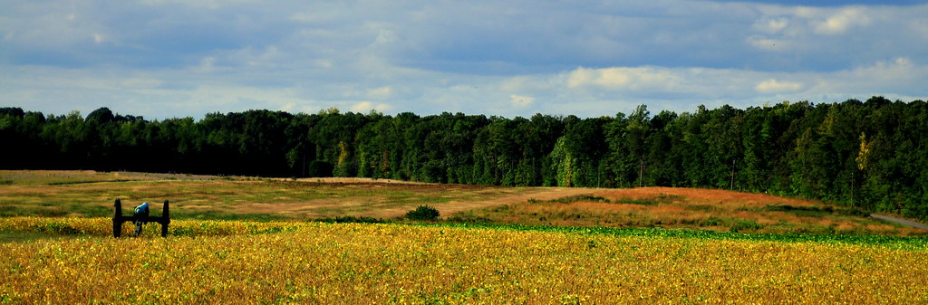
Glowing Fields of Grain

the view changes from where you are standing

THE COOL LINES OF MARBLE, THE VIEW FROM CORPORAL FOLLAND'S GRAVE
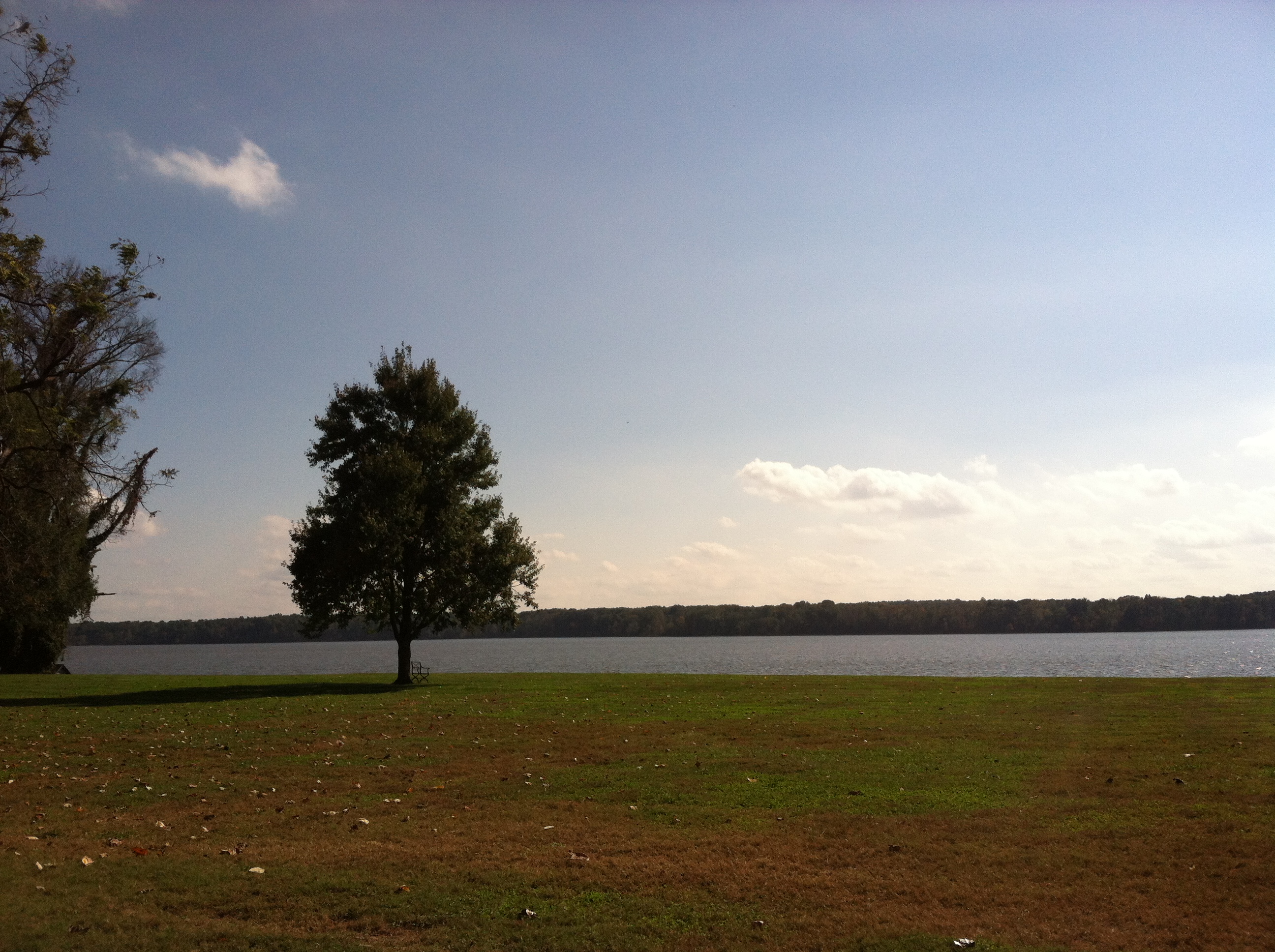
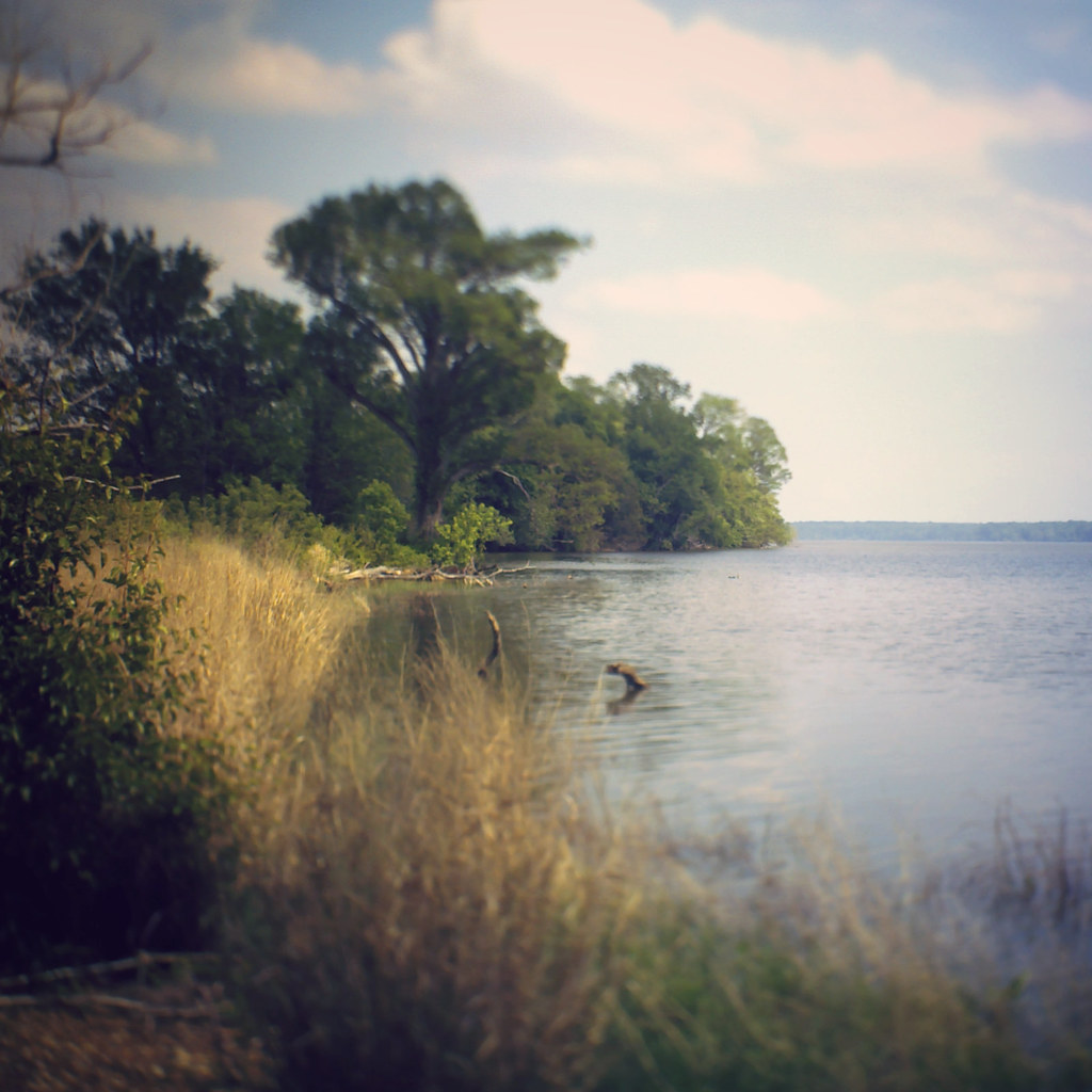
view of James River from Westover Plantation, Charles City County, VA
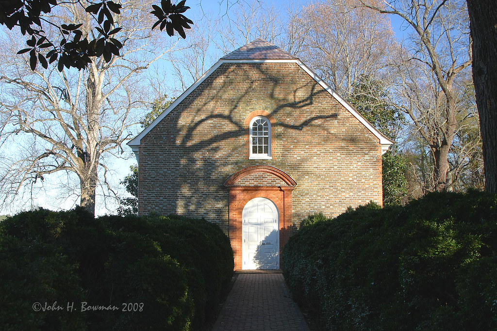
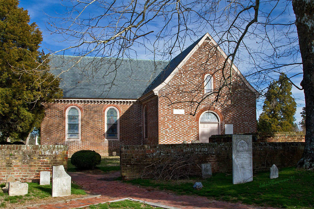
Westover Church - church of 3 presidents

view of James River from Westover Plantation, Charles City County, VA

Consolation Prize
Colonial Kitchen
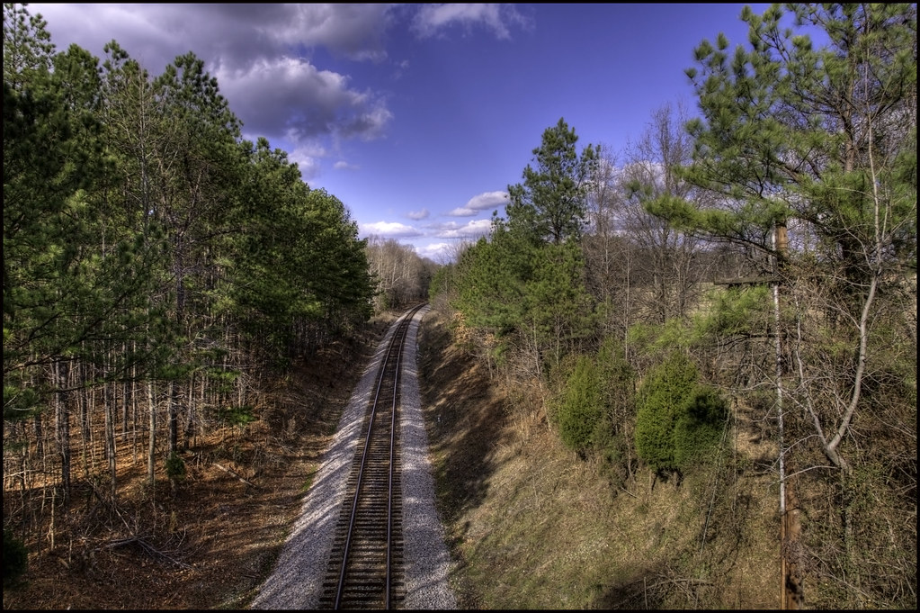
Norfolk And Petersburg Railroad
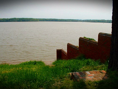
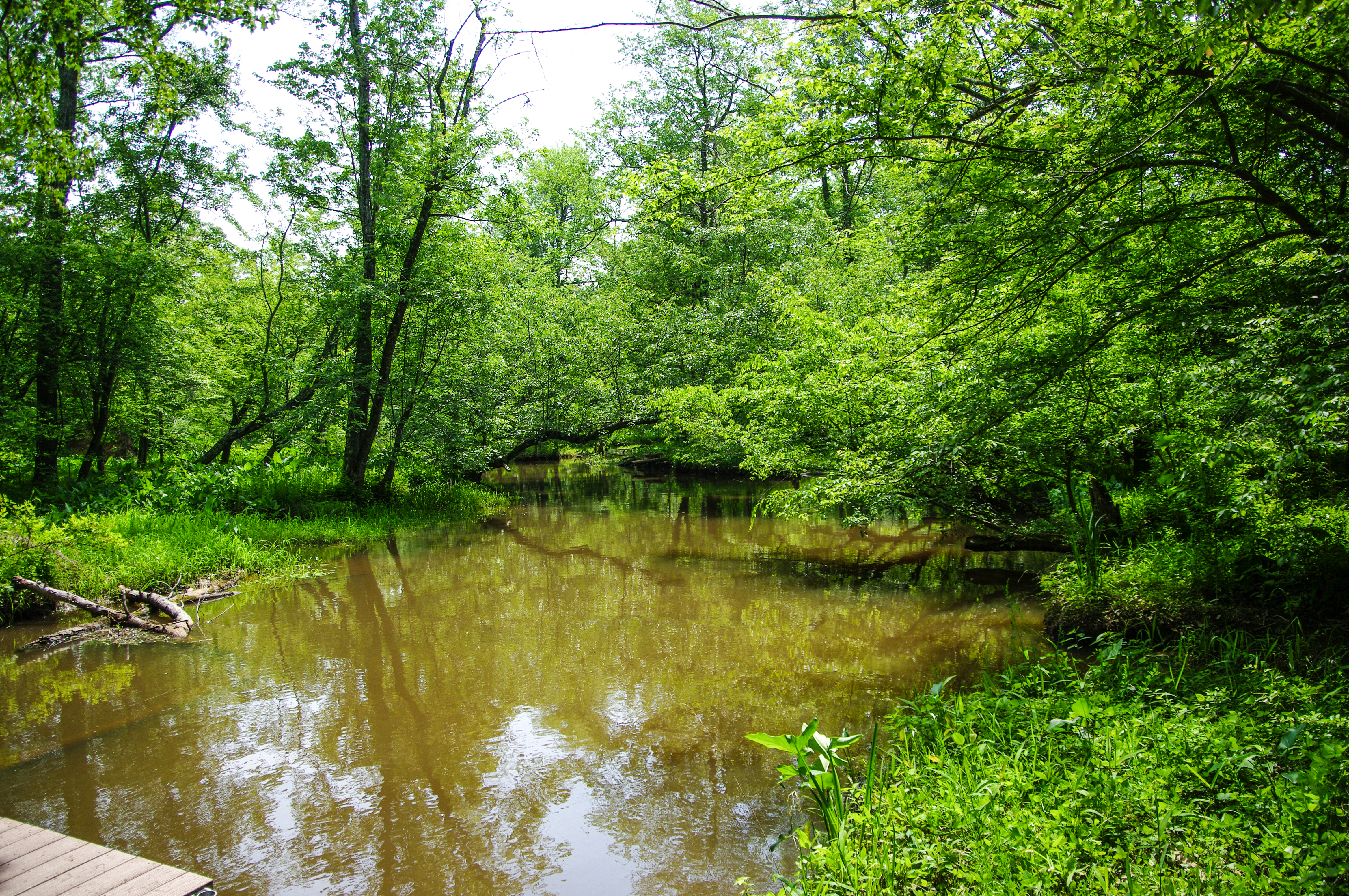
James River at Westover
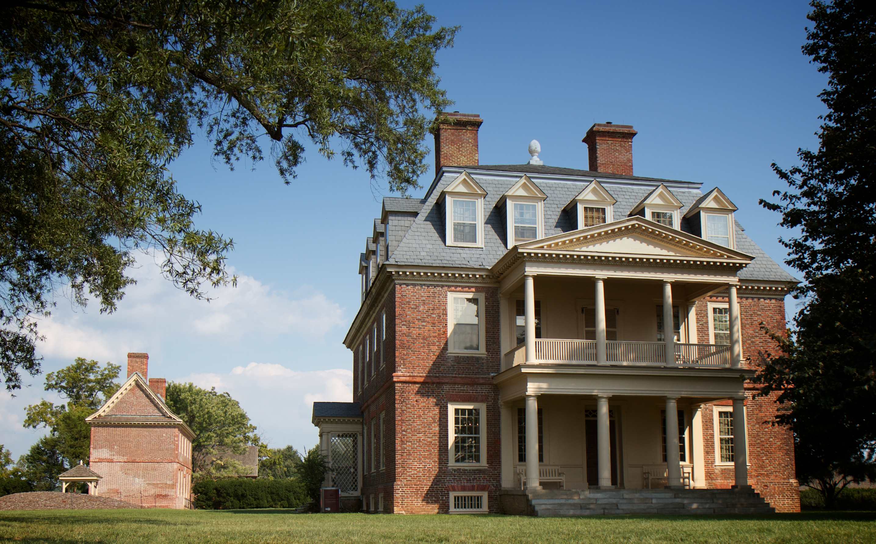
A Home on the James
Blandford Church, 1735

Death's head piece from my solo show. Available for purchase or viewing all month at @suburbanvinyl

BALI-HAI'

IMG00083-20100613-1210 00000
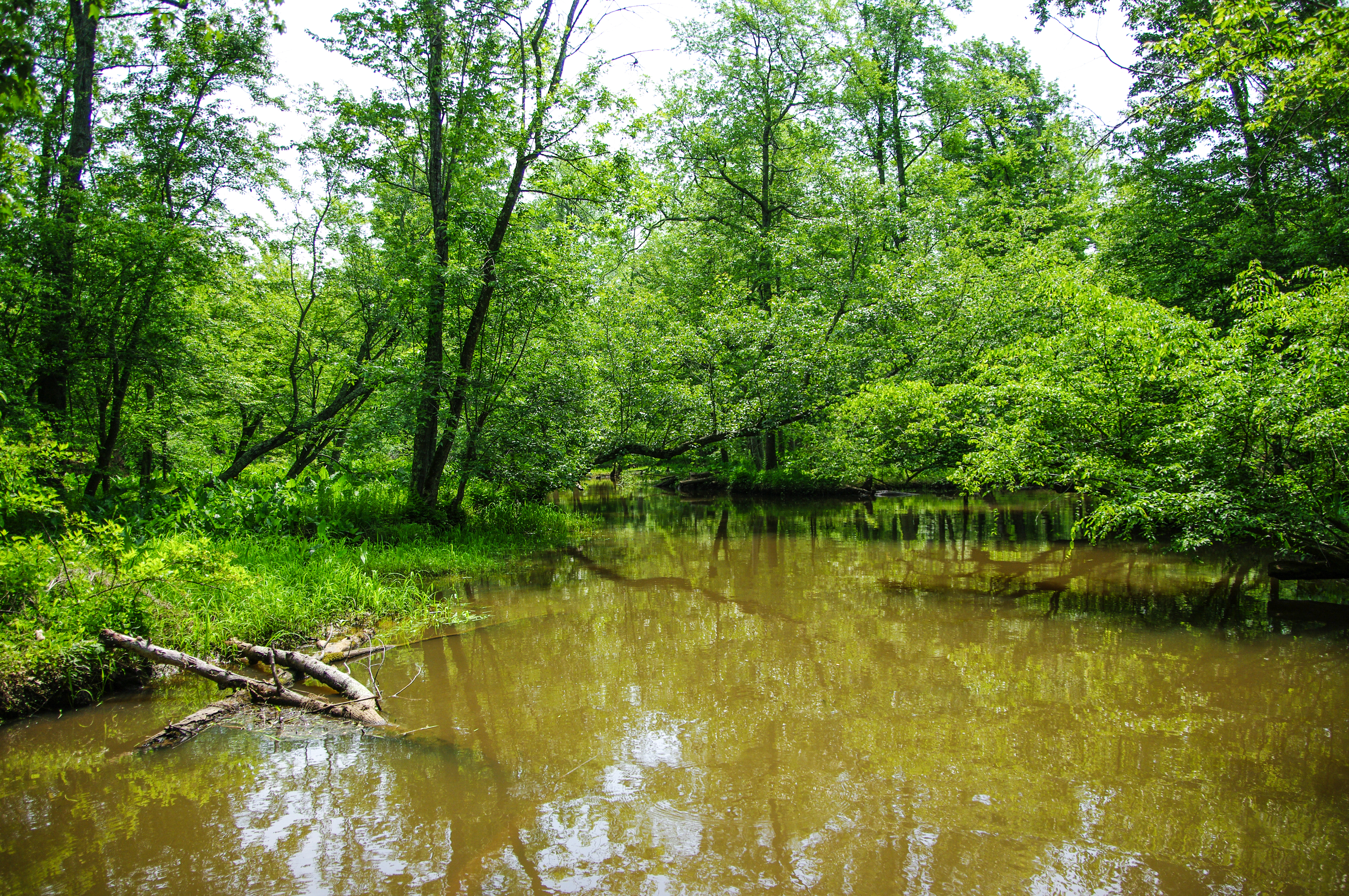
River view from Henricus

The Crater

birds eye view

Uhhh, Skipper?
when I go away
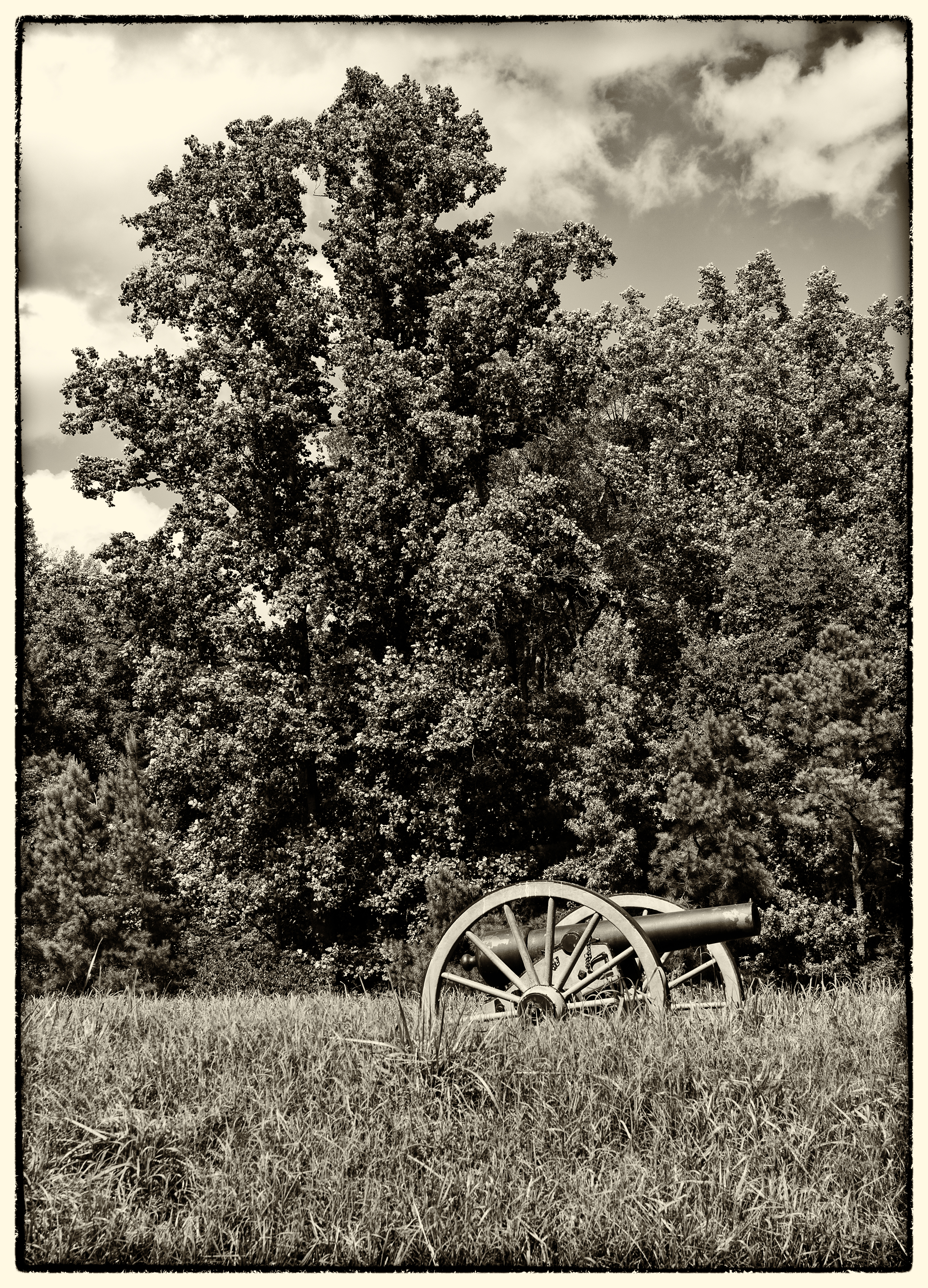
Confederate Cannon "Battery 5"

2012-11-19 at 12-28-19 (1).jpg

Appomattox River-Petersburg, VA

Fields of Gold
Malvern Hill - Union Cannon
presquile-65.jpg
presquile-66.jpg
Looking forward to heading back to the left coast. It's time to go home.
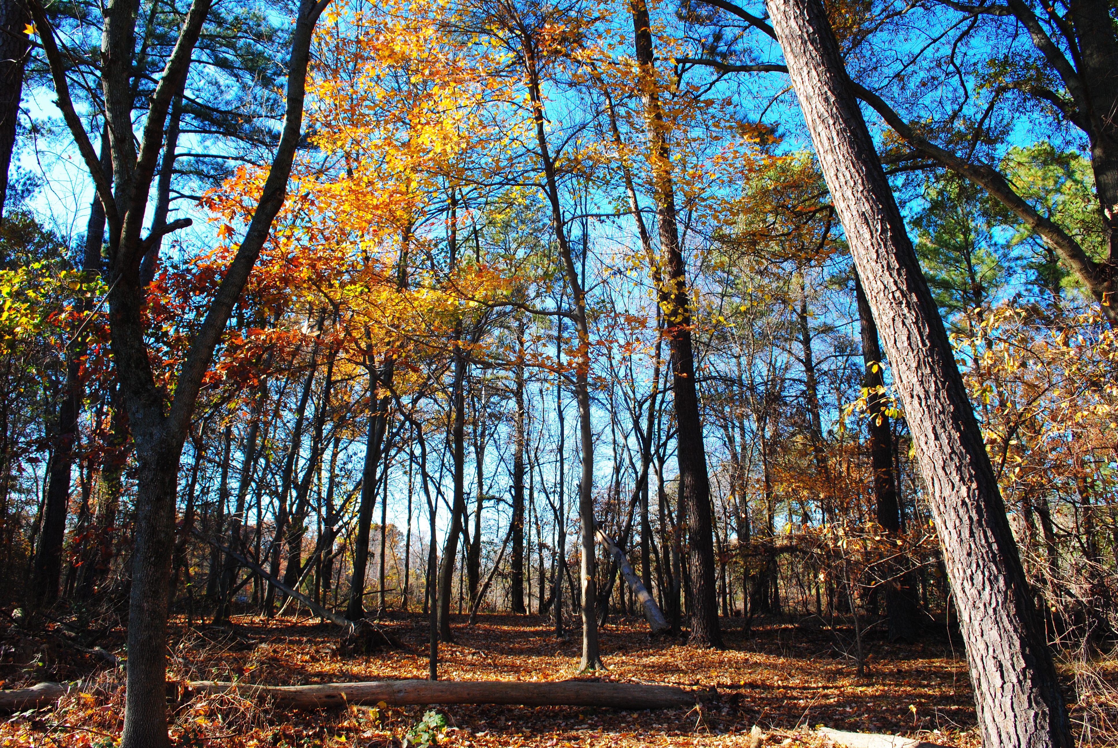
Late Fall at Dutch Gap
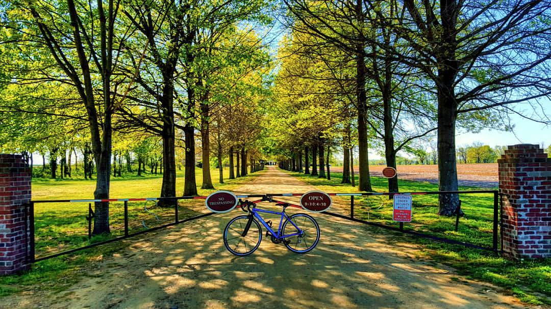
Today's adventure took me over 45 miles along the Virginia Capital Trail. It was so gorgeous out there I just couldn't stop! It's amazing knowing what the human body is capable of and knowing I got there all on my own. Who needs a car anyways?! #neverstop
6/28/2011 (295/365) - CRA
presquile-67.jpg

Honeywell Chemical Plant
Topographic Map of Hopewell, VA, USA
Find elevation by address:

Places in Hopewell, VA, USA:
Places near Hopewell, VA, USA:
411 W Randolph Rd
905 E Randolph Rd
304 Riverview Ave
Petersburg National Battlefield-city Point Unit
3405 Ivor St
Clay Street
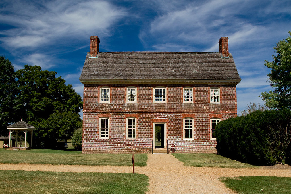
Shirley Plantation
1708 White Mountain Dr
Cherokee Ln, Hopewell, VA, USA
N Enon Church Rd, Chester, VA, USA
Hopewell, VA, USA
Westover Rd, Charles City, VA, USA
5301 John Tyler Memorial Hwy
Richmond, VA, USA
Charles City County
2, VA, USA
7960 Chambers Rd
Charles City
10321 Alpine Rd
12041 The Glebe Ln
Recent Searches:
- Elevation of Corso Fratelli Cairoli, 35, Macerata MC, Italy
- Elevation of Tallevast Rd, Sarasota, FL, USA
- Elevation of 4th St E, Sonoma, CA, USA
- Elevation of Black Hollow Rd, Pennsdale, PA, USA
- Elevation of Oakland Ave, Williamsport, PA, USA
- Elevation of Pedrógão Grande, Portugal
- Elevation of Klee Dr, Martinsburg, WV, USA
- Elevation of Via Roma, Pieranica CR, Italy
- Elevation of Tavkvetili Mountain, Georgia
- Elevation of Hartfords Bluff Cir, Mt Pleasant, SC, USA