Elevation of Hopewell Township, PA, USA

Location: United States > Pennsylvania > Huntingdon County >

Longitude: -78.213434

Latitude: 40.2847206

Elevation: 372m / 1220feet

Barometric Pressure: 97KPa

Elevation Map:

elevation map of Hopewell Township, PA, USA

Satellite Map:

Satellite map of Hopewell Township, PA, USA

Related Photos:

2014 family pennsylvania saxton firestations 500views
Fire Truck Fun
garden daylily birdseyeview daylilies daylilygarden
Daylily Garden - Birdseye view
county tarmac plane airplane airport pennsylvania hangar dash ii blair archer instruments altoona martinsburg
Pilot's Point of View
travel trees winter snow mountains nature scenery view pennsylvania troughcreekstatepark
A nice view
bicycle america pennsylvania
View from the hills
nikond50 sigma18200mmf3563dc
Rainbow Falls
sunset lake mountains canon reflections landscape boat pa raystownlake pennsylvaniastatepark 60d
Coming Home (Explored 8/7/13)
SCENIC MORRISON'S COVE
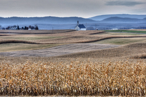
church andy rural landscape corn pennsylvania andrew fields tone aga hdri mapped photomatix highdynamicrangeimage aliferis diehlschurchofthebrethren
Diehl's Crossroads Church of the Brethren
autumn reflection fall cliffs pennsylvaniastateparks troughcreekstatepark greattroughcreek
Red, yellow and orange leaves on trees are reflected in the water of Great Trough Creek, Trough Creek State Park, Pennsylvania
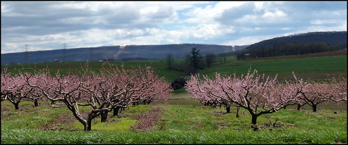
peachtree floweringtrees
Peach Hill Trees are in full bloom
summer usa lake beach water america sand nikon unitedstates pennsylvania widescreen pa 1855mm nikkor 169 vr afs 尼康 dx 美国 raystown raystownlake ニコン 13556g d3100
Raystown Lake
family sunlight tree barn gold bokeh pennsylvania wheat shed jess ancestry coaldale sixmilerun ednamay ednamae broadtop petrohoy longsrunroad myrtlewright calvinfigard
Six Mile Run, PA
pennsylvania kodake100vs hollidaysburg blaircounty mountainspennsylvania
Rural Pennsylvania Farmland
summer rabbit bunny garden pa shade asparagus martinsburgpa asparaguspatch
Rabbit in the Asparagus patch
pennsylvania kodake100vs hollidaysburg blaircounty mountainspennsylvania
Rural Pennsylvania Farmland
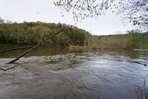
trees nature water pennsylvania juniatariver warriorspathstatepark
Juniata River
Cornfield sunset in the cove
park rainbow state pennsylvania falls troughcreek
Rainbow Falls
tree pa buckeye yellowbuckeye aesculusoctandra yellowbuckeyefruit
Yellow Buckeye fruit
Raystown Lake July 2016
county sky cloud mountain field pennsylvania cove farm country valley blair morrisons martinsburg
Morrison's Cove
usa unitedstates pennsylvania jamescreek huntingdoncounty troughcreekstatepark paradisefurnace
Trough Creek State Park
travel usa pennsylvania
Raystown Lake
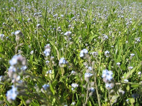
blue flower spring weed bluefloweredweed
Blue Flowered Weed
usa unitedstates pennsylvania marysville bedfordcounty saxton warriorspathstatepark
Warriors Path State Park