Elevation of Homer Township, OH, USA
Location: United States > Ohio > Morgan County >
Longitude: -81.997110
Latitude: 39.5000874
Elevation: 275m / 902feet
Barometric Pressure: 98KPa
Elevation Map:
Satellite Map:
Related Photos:

Glory days gone

Recalling earlier times
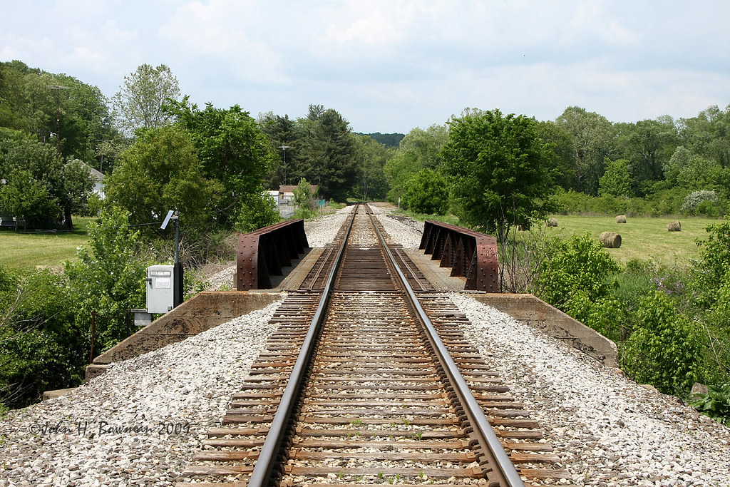
Railroad at Palos Bridge
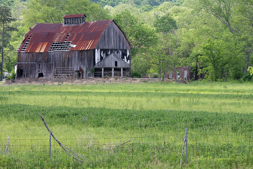
Ohio barn

Faded sign & ghosts of signs past
View from side porch

Puncheon Floor

My World
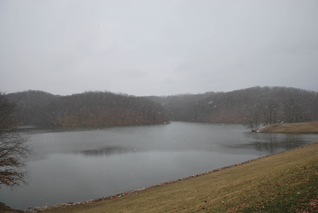
Burr Oak Lake

Burr Oak State Park
Topographic Map of Homer Township, OH, USA
Find elevation by address:

Places in Homer Township, OH, USA:
Places near Homer Township, OH, USA:
Mountville Rd, Glouster, OH, USA
5494 Pounds Rd
OH-, Chesterhill, OH, USA
4960 Oh-555
15166 Hooper Ridge Rd
Glouster
Jacksonville
8w
9750 Moore Rd
9661 Moore Rd
9550 Moore Rd
Oakdale Road
Ames Township
Amesville
41 State St
Trimble Township
11444 Wesley Rd
8737 Oh-78
Millfield
Mount Nebo
Recent Searches:
- Elevation of Corso Fratelli Cairoli, 35, Macerata MC, Italy
- Elevation of Tallevast Rd, Sarasota, FL, USA
- Elevation of 4th St E, Sonoma, CA, USA
- Elevation of Black Hollow Rd, Pennsdale, PA, USA
- Elevation of Oakland Ave, Williamsport, PA, USA
- Elevation of Pedrógão Grande, Portugal
- Elevation of Klee Dr, Martinsburg, WV, USA
- Elevation of Via Roma, Pieranica CR, Italy
- Elevation of Tavkvetili Mountain, Georgia
- Elevation of Hartfords Bluff Cir, Mt Pleasant, SC, USA