Elevation of Hoher Weg 26, Lutherstadt Wittenberg, Germany
Location: Germany > Saxony-anhalt > Wittenberg >
Longitude: 12.64648
Latitude: 51.89048
Elevation: 100m / 328feet
Barometric Pressure: 100KPa
Elevation Map:
Satellite Map:
Related Photos:

purple rain
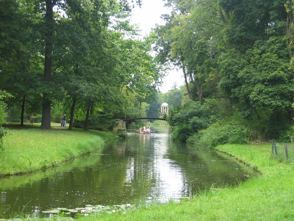
Blick auf Venustempel (Stil Englischer Garten)
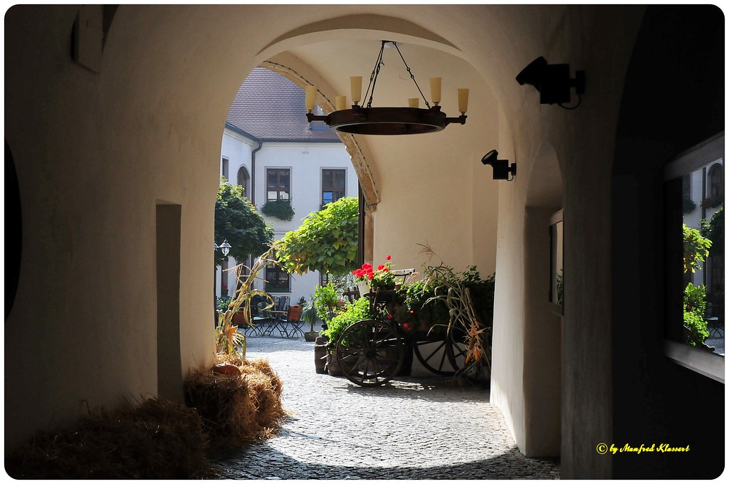
© • Wittenberg • Impressions •

© • Wittenberg • Impressions •

pee with a view

© • Wittenberg • Impressions •
Germany: Wittenberg - IMG_4795a

Ardor vom Venushügel
Lutherstadt Wittenberg

Ardor vom Venushügel von hinten
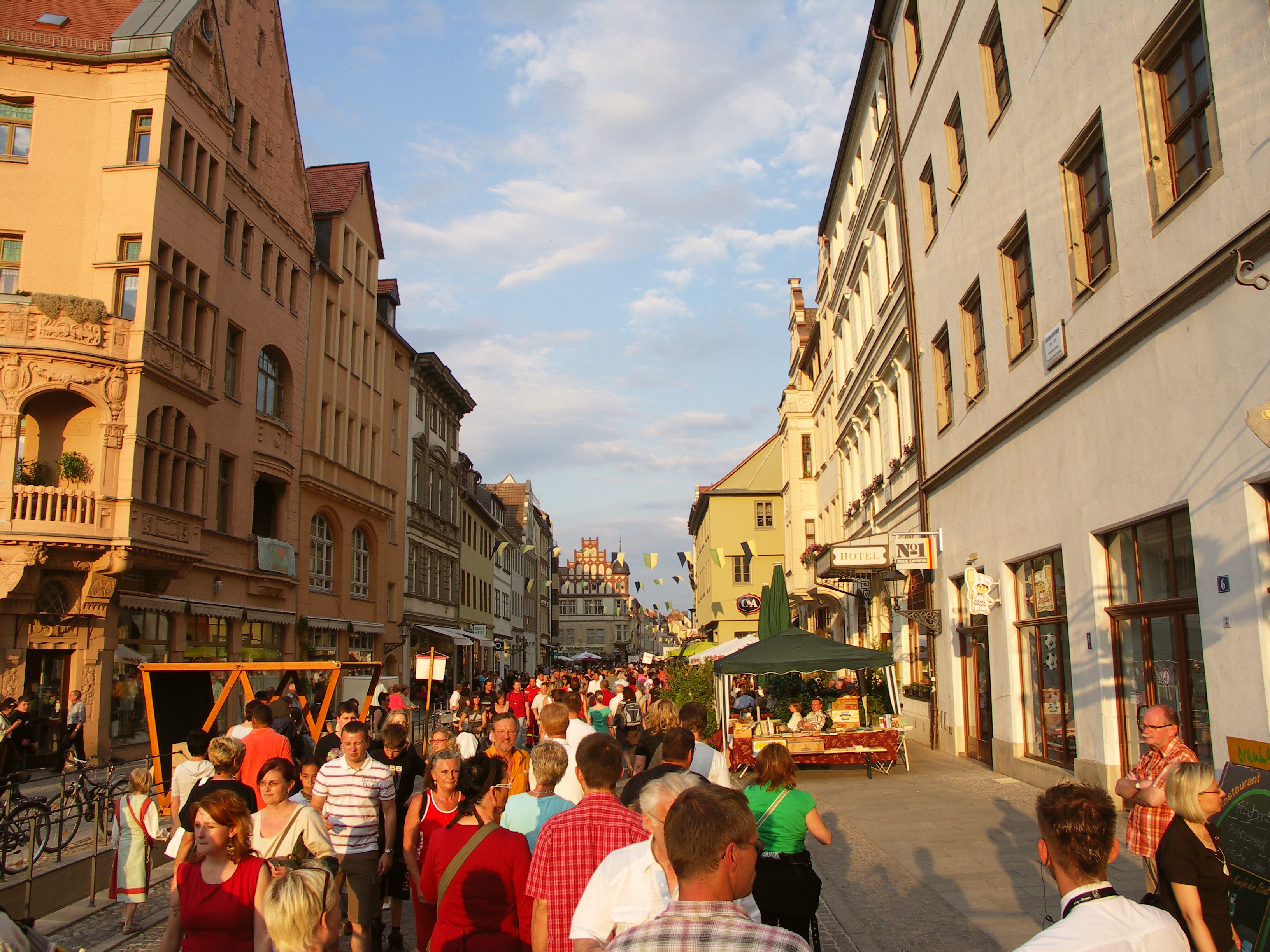
Collegienstraße
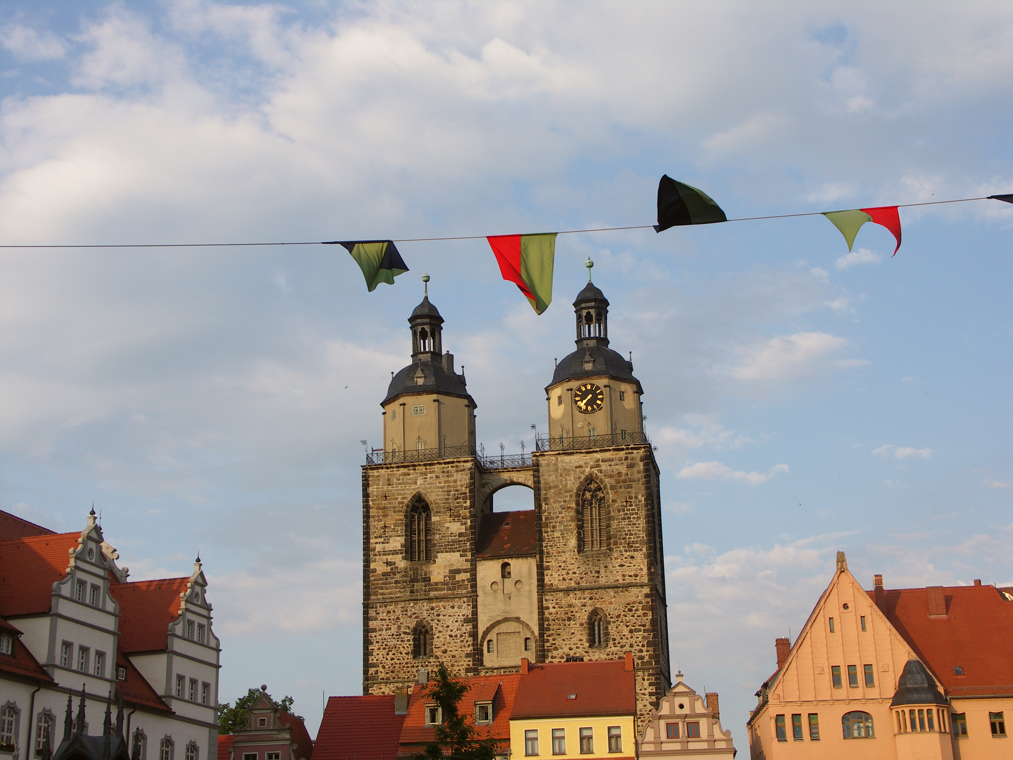
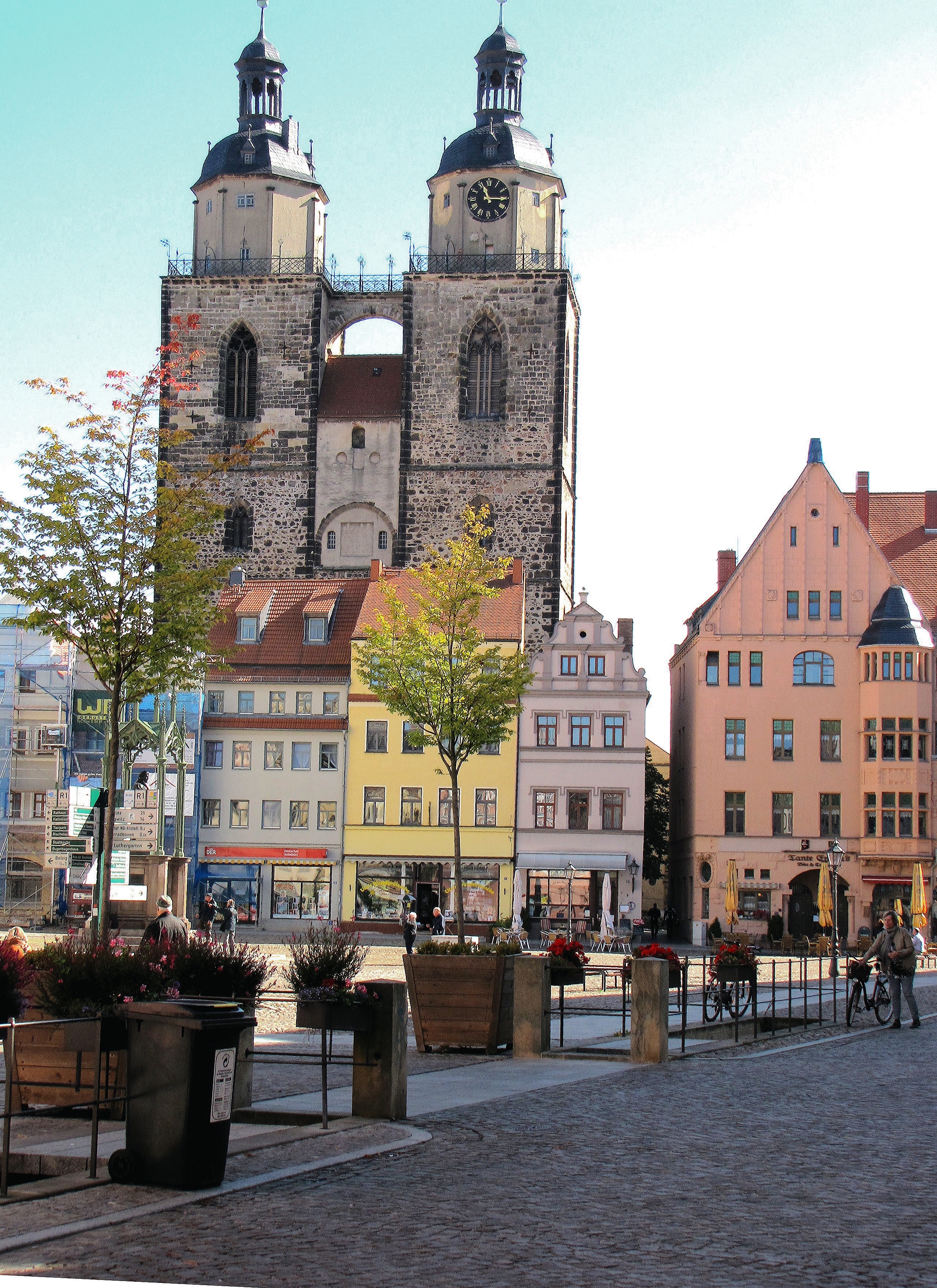
Stadtkirche vom Markt aus

Runder Schlossturm Wittenberg
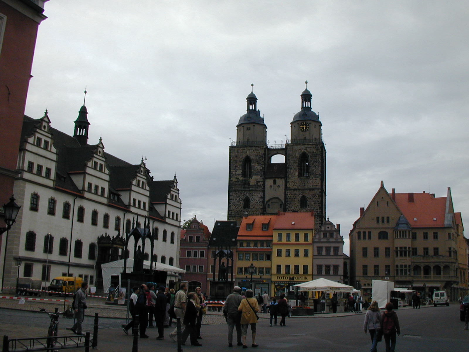
Wittenberg Marktplatz

Schlossturm, Mittelaltermarkt und Hau den Lukas
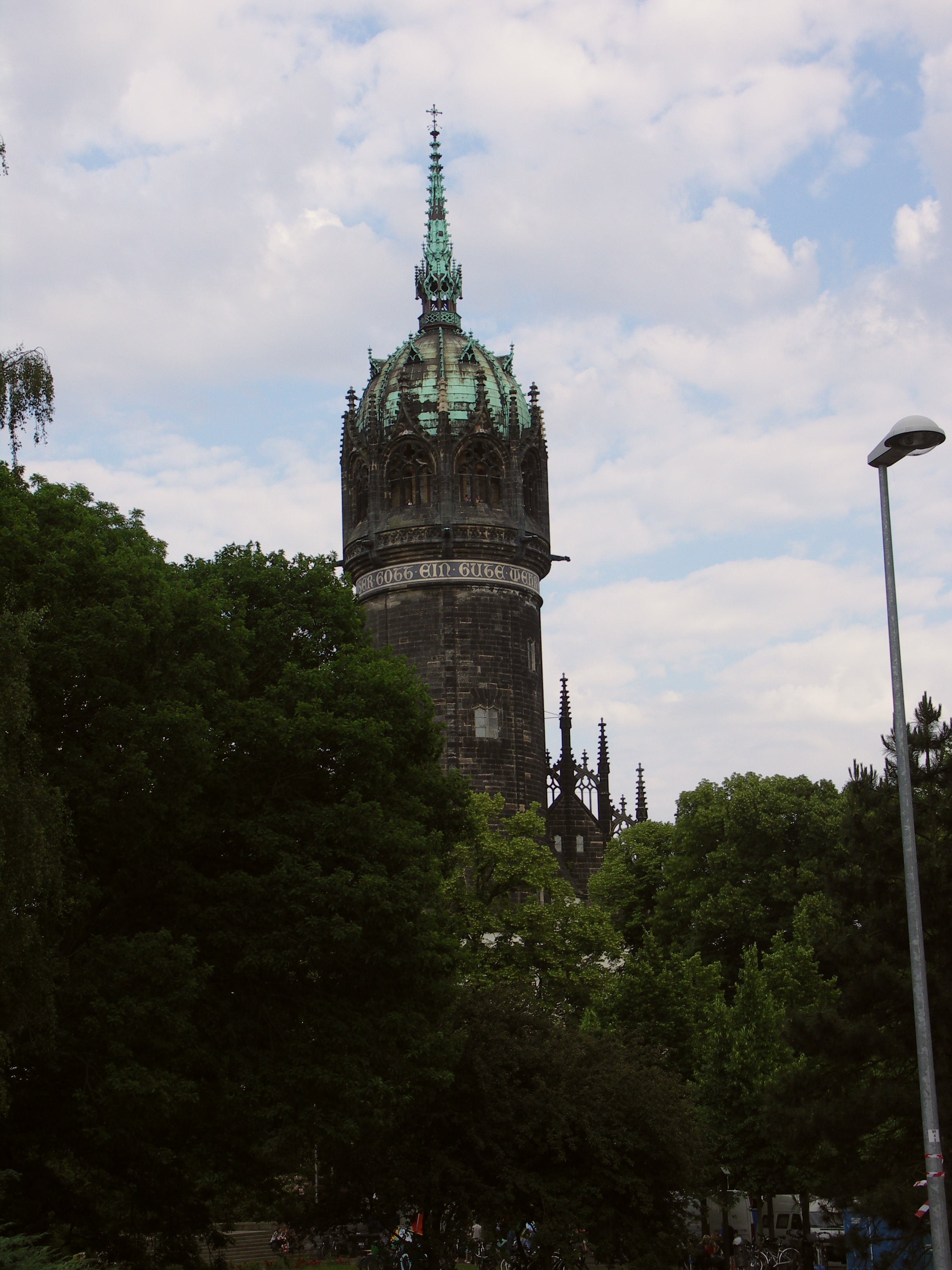
Schlossturm Wittenberg
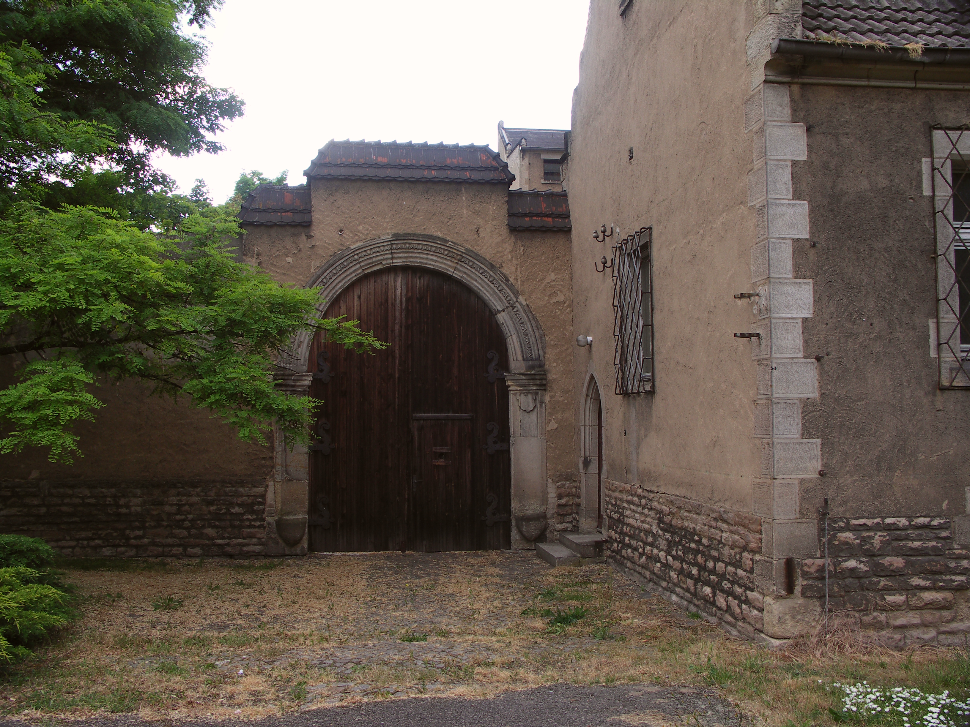
Altes Tor nähe Amtsgericht

Amtsgericht Wittenberg

Schlossturm Wittenberg

Hau den Lukas

Patrick und der Teufel von Corvus Corax

Wörlitzer Park

IMG_6615-27

Foggy Morning

IMG_6617-29-Pano

IMG_6623-35-HDR
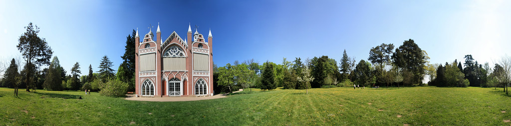
Gotisches Haus - 360°
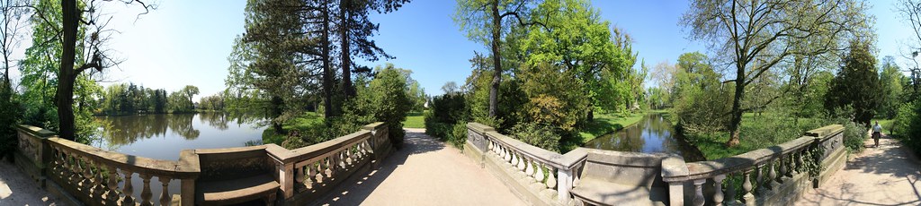
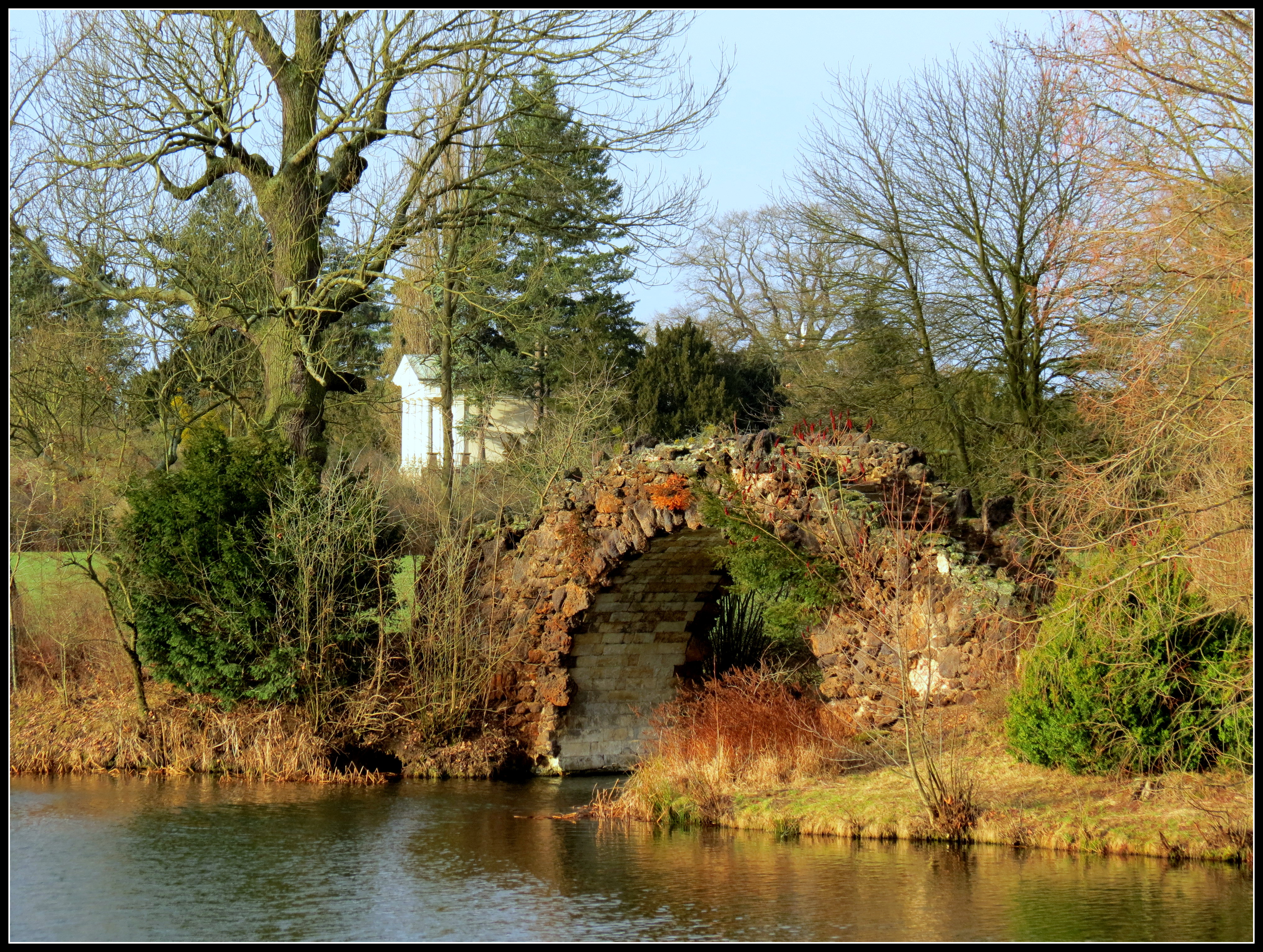
Brücke - 360°

IMG_6614-26

Silent winter

¿?

bei Wörlitz...

Durchblick...

Elbe bei Coswig (Sachsen-Anhalt) 05-08-2014 9

Elbe bei Coswig (Sachsen-Anhalt) 05-08-2014 1
bei Wörlitz...

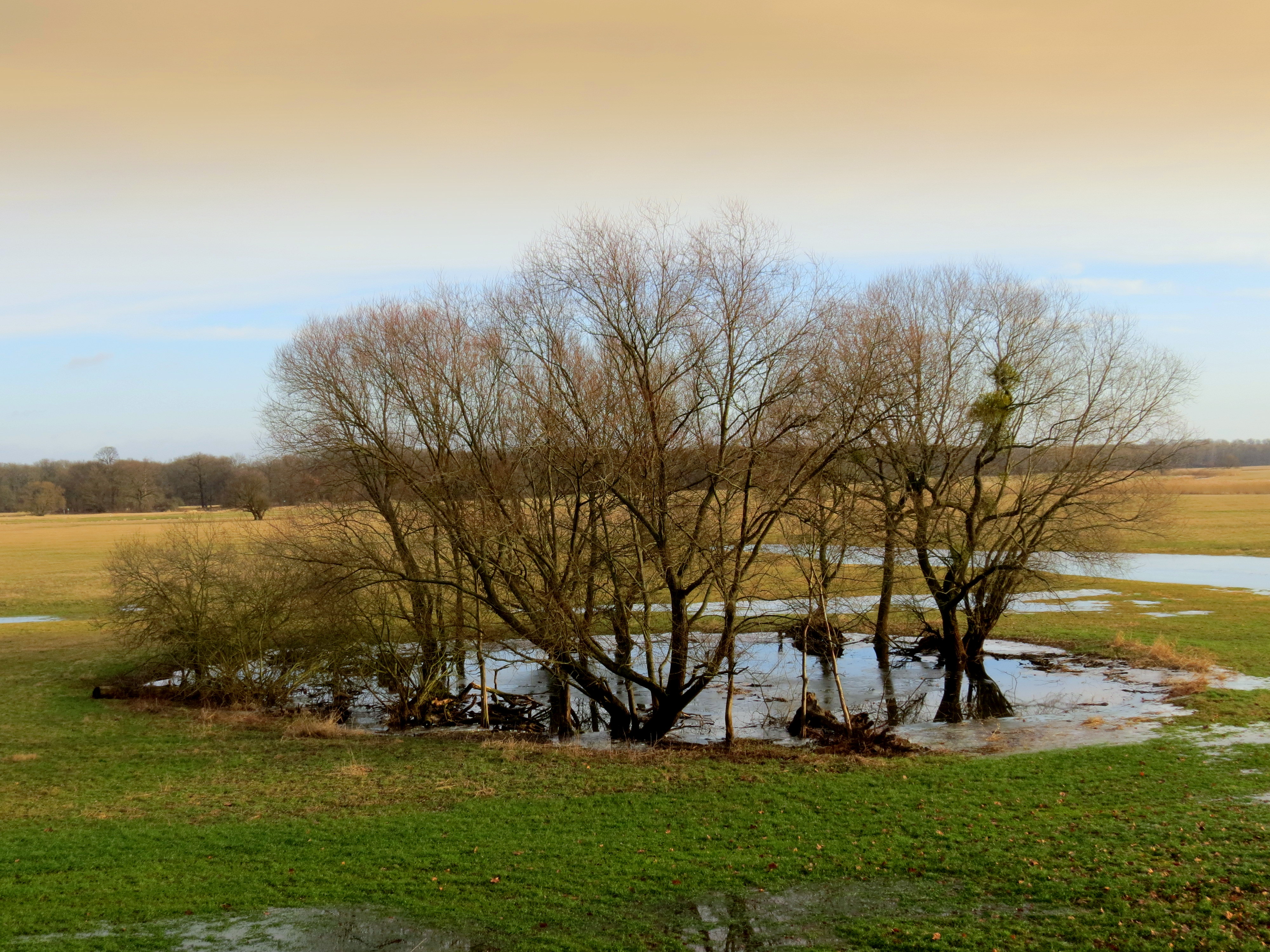
Morning in the Elbe meadows

11.4.2015 118

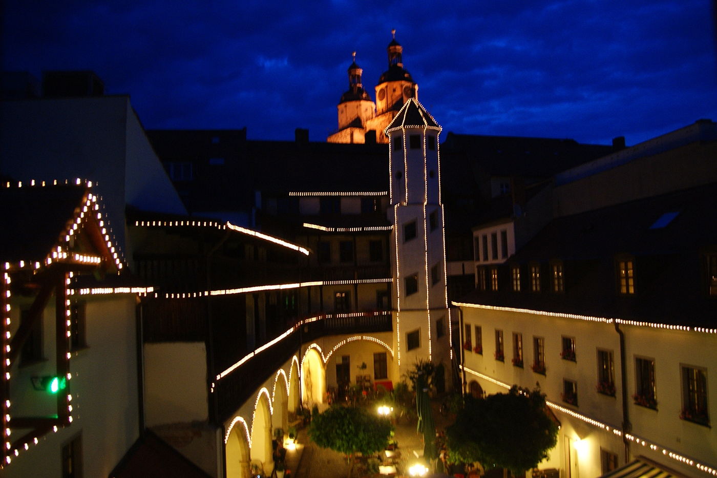
Light of night

Wörlitzer Schloß mit Petri- Kirche
im Wörlitzer Park
Topographic Map of Hoher Weg 26, Lutherstadt Wittenberg, Germany
Find elevation by address:

Places near Hoher Weg 26, Lutherstadt Wittenberg, Germany:
Paul-gerhardt-straße 42-45
Wittenberg
Bergwitz
Wörlitzer Str. 15, Kemberg, Germany
Kemberg
Klein Marzehns
Nebenstraße 28, Rabenstein/Fläming, Germany
Cobbelsdorf
Dorfstr. 5, Coswig (Anhalt), Germany
Selbitz
Dorfstraße 39, Selbitz, Germany
Lubast
Dorfstr. 6, Kemberg, Germany
Gommlo
Rehsen
Coswig (anhalt)
Schleesen
Naderkau 6, Kemberg, Germany
Siedlung Bergstücken 50, Oranienbaum-Wörlitz, Germany
Wörlitz
Recent Searches:
- Elevation of Corso Fratelli Cairoli, 35, Macerata MC, Italy
- Elevation of Tallevast Rd, Sarasota, FL, USA
- Elevation of 4th St E, Sonoma, CA, USA
- Elevation of Black Hollow Rd, Pennsdale, PA, USA
- Elevation of Oakland Ave, Williamsport, PA, USA
- Elevation of Pedrógão Grande, Portugal
- Elevation of Klee Dr, Martinsburg, WV, USA
- Elevation of Via Roma, Pieranica CR, Italy
- Elevation of Tavkvetili Mountain, Georgia
- Elevation of Hartfords Bluff Cir, Mt Pleasant, SC, USA