Elevation of Hogback Rd, Campton, NH, USA
Location: United States > New Hampshire > Grafton County > Campton >
Longitude: -71.637703
Latitude: 43.8180676
Elevation: 253m / 830feet
Barometric Pressure: 98KPa
Elevation Map:
Satellite Map:
Related Photos:
268/365

doin' what it is I do
Welch-Dickey Loop Trail Panorama

Porch view
Another View
Camping Within Nature's Best Light Shows [Explored]

22 | 365
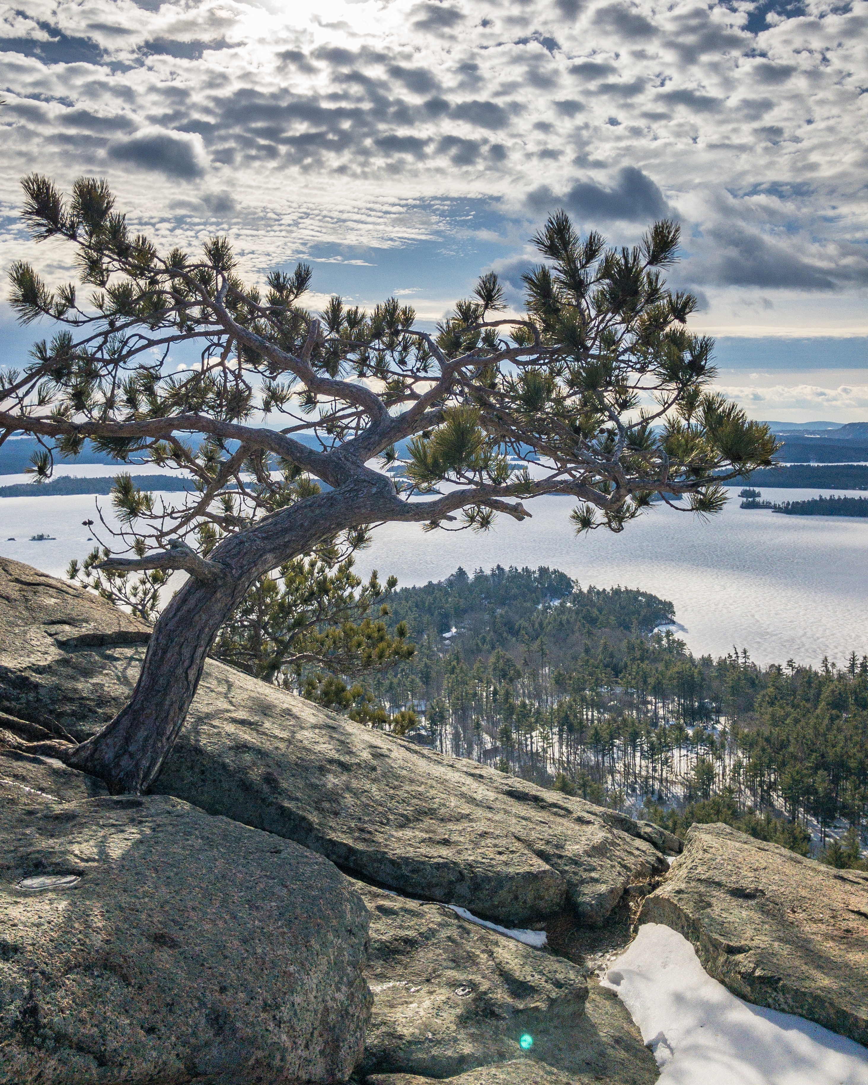
PHOTO - 2018 - 015 - Rattlesnake Mt. (Pines) - 001
View From Campton

View from Rattlesnake Point, Holderness, NH
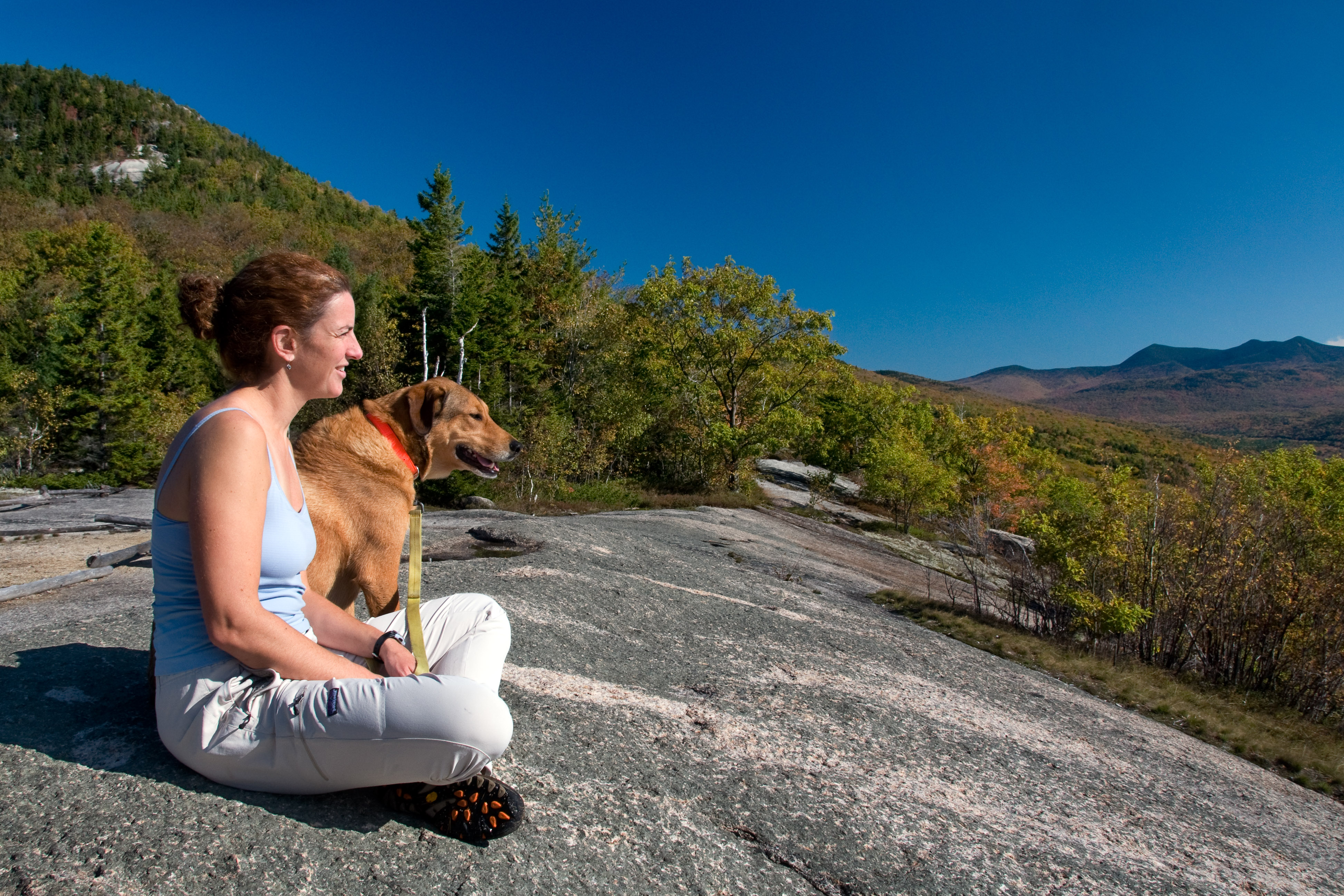
just a girl and her dog
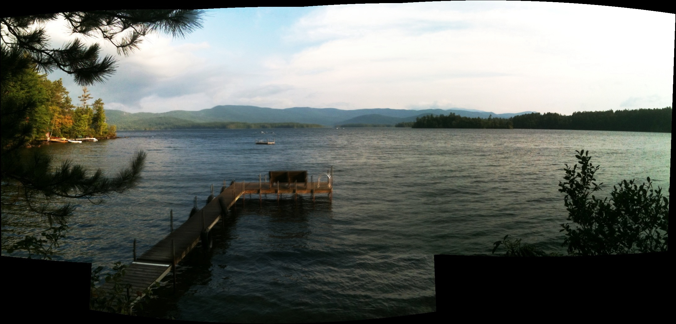
View from shore
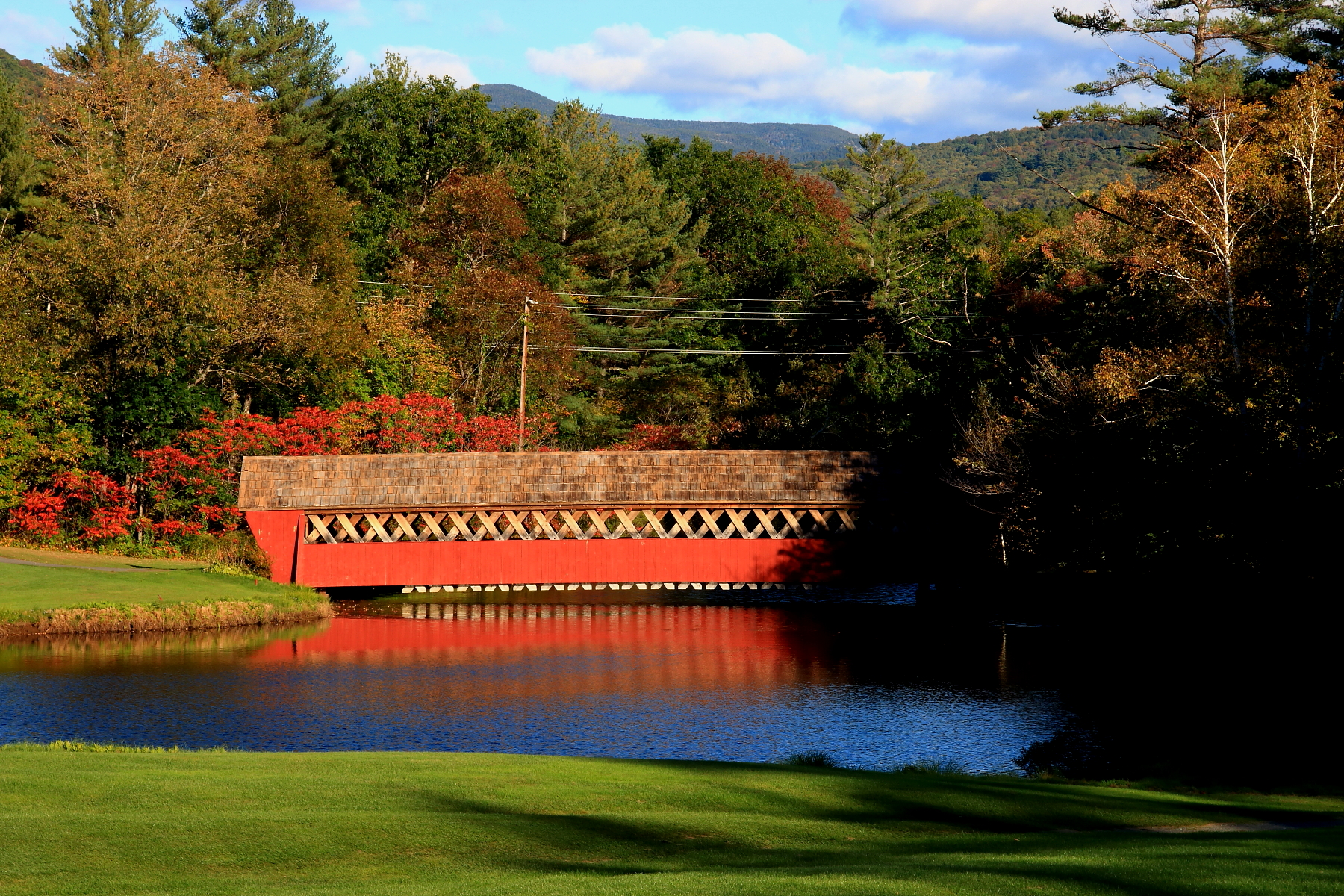
Jack O´Lantern Covered Bridge
One of the most beautiful views in New Hampshire. #westrattlesnake #squam #hiking
The Marina at Squam Lake
Looking South Down the Tracks

rock stars

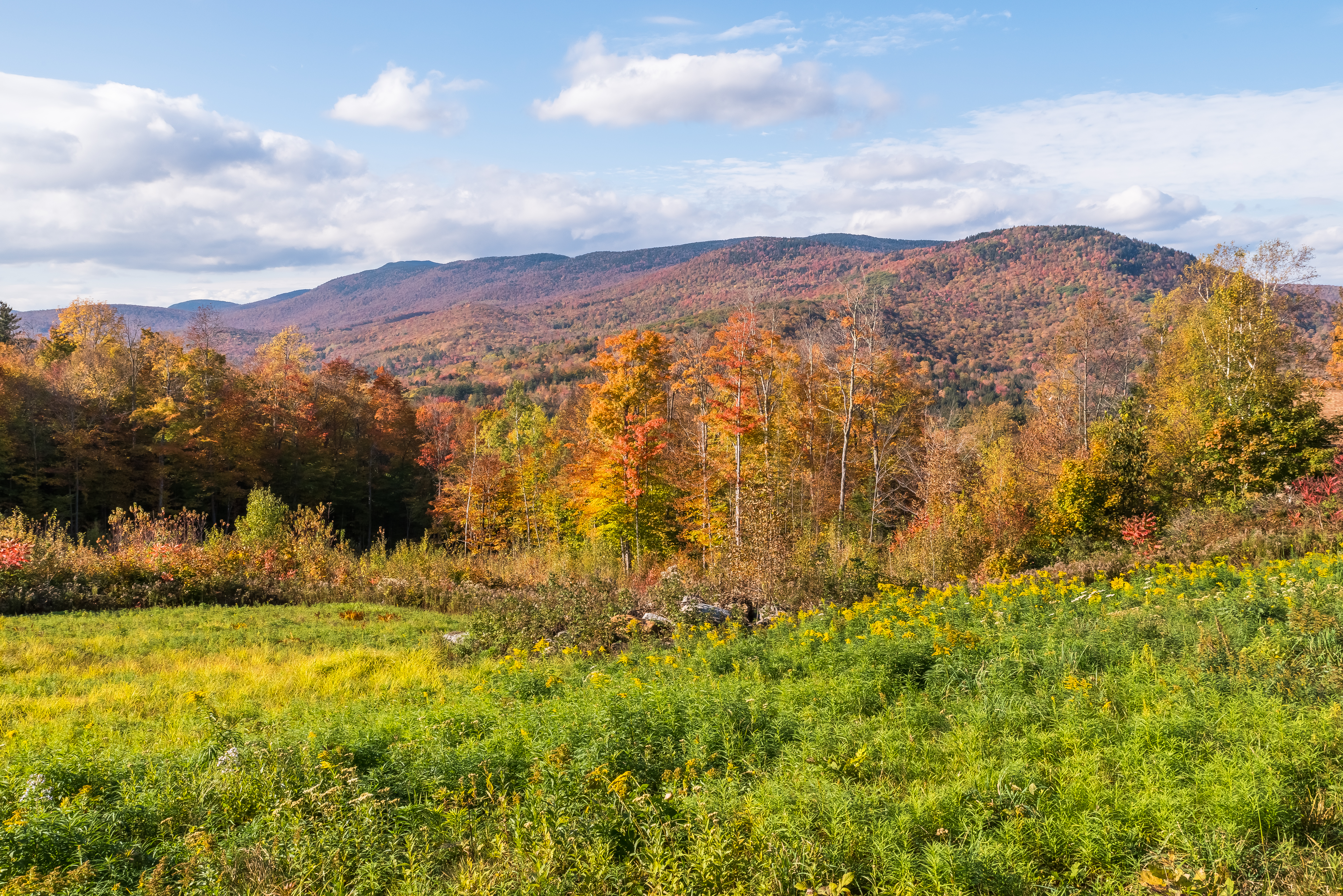
View from the Farm
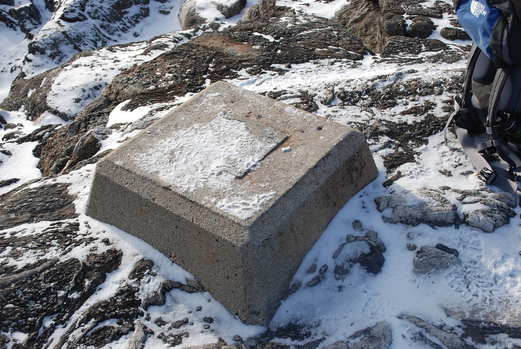
Old Fire Tower Base

Tenney Mountain From Fairgrounds Rd.
totally *core* dude
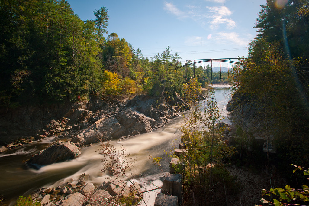
Pemigewasset River 2
Stepped Falls

WoodStock-New Hampshire
Welch-Dickey Mountain

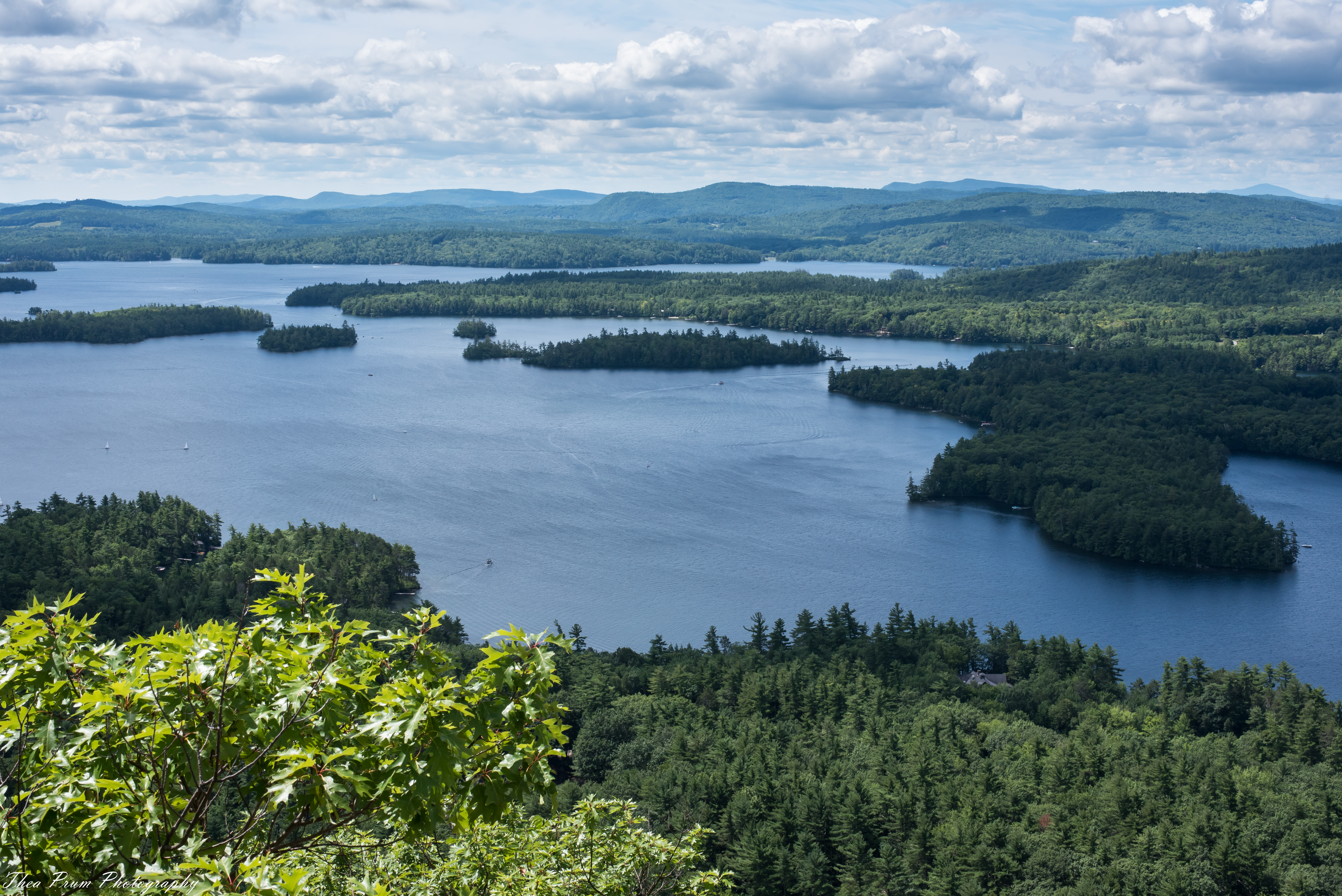
Little Squam Lake
livermore falls

Jack O'Lantern Covered Bridge
Hiking East and West Rattle Snake Mountain

Little Squam Lake

Mad River, Nr Hwy 49, Waterville Valley (493933)
Crazy hiking weather
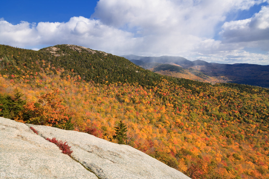
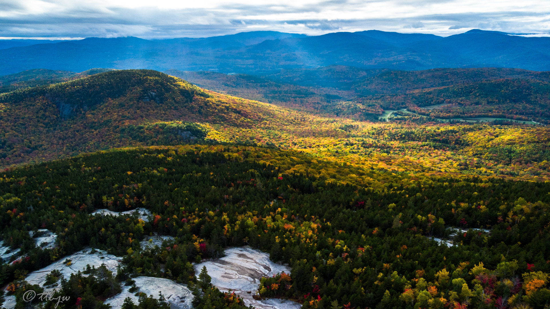
Fall colors on Mount Welch from Mount Dickey as a snowstorm approaches, White Mountain National Forest, New Hampshire

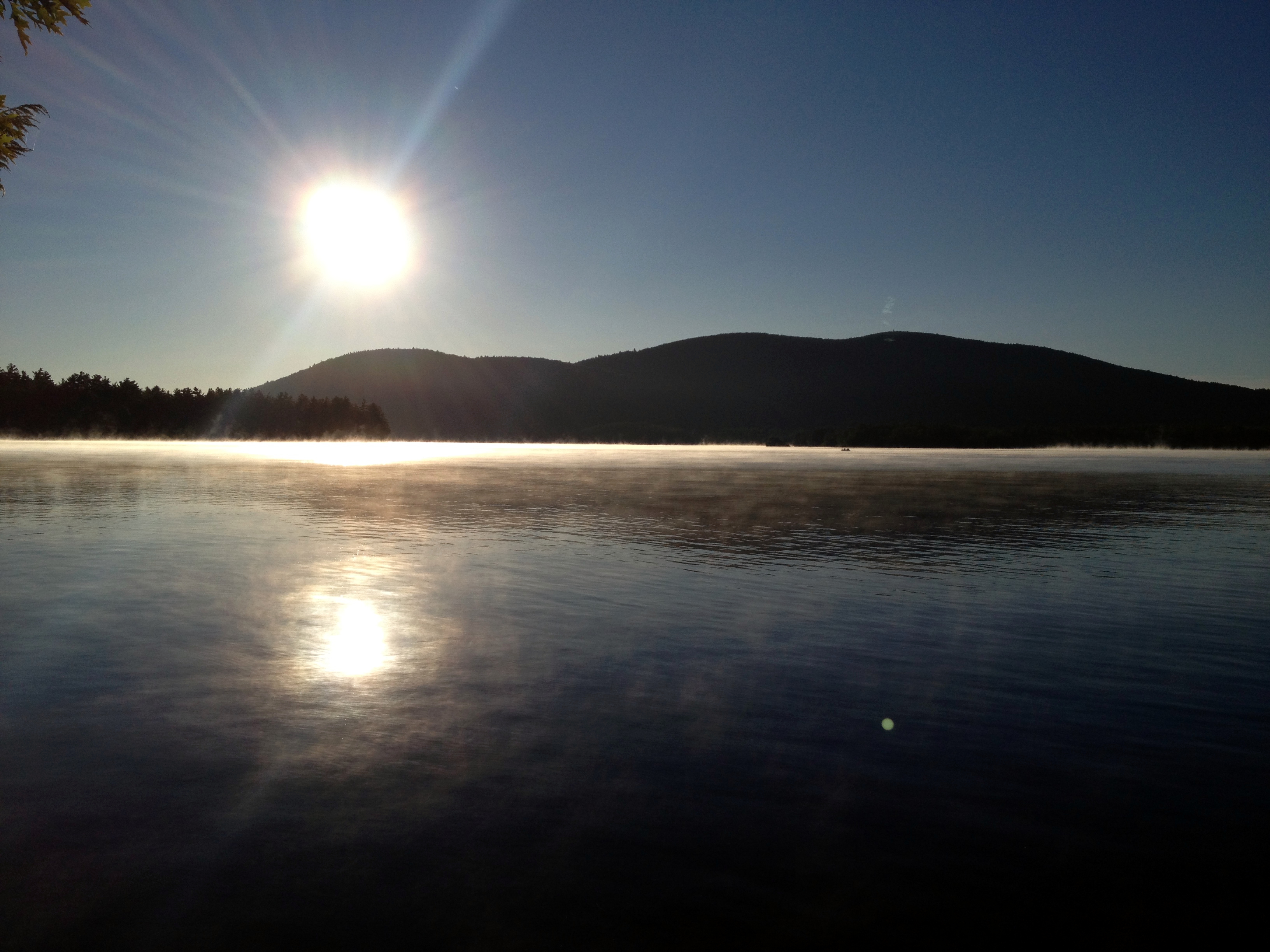
Sunrise, Campton Bog
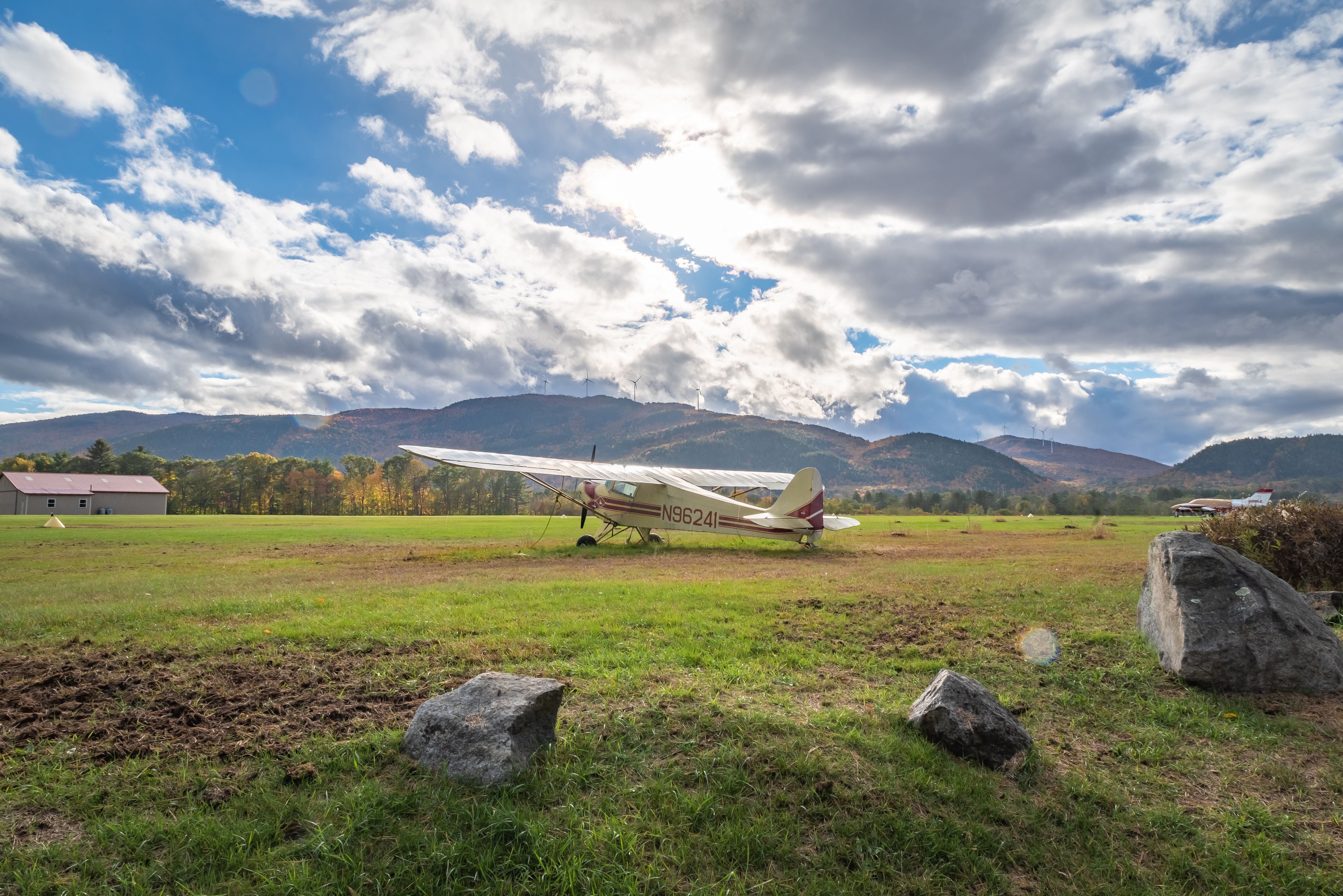
#N96241
Stinson Lake
Mt. Welch and Mt. Dickey
Divided Sky

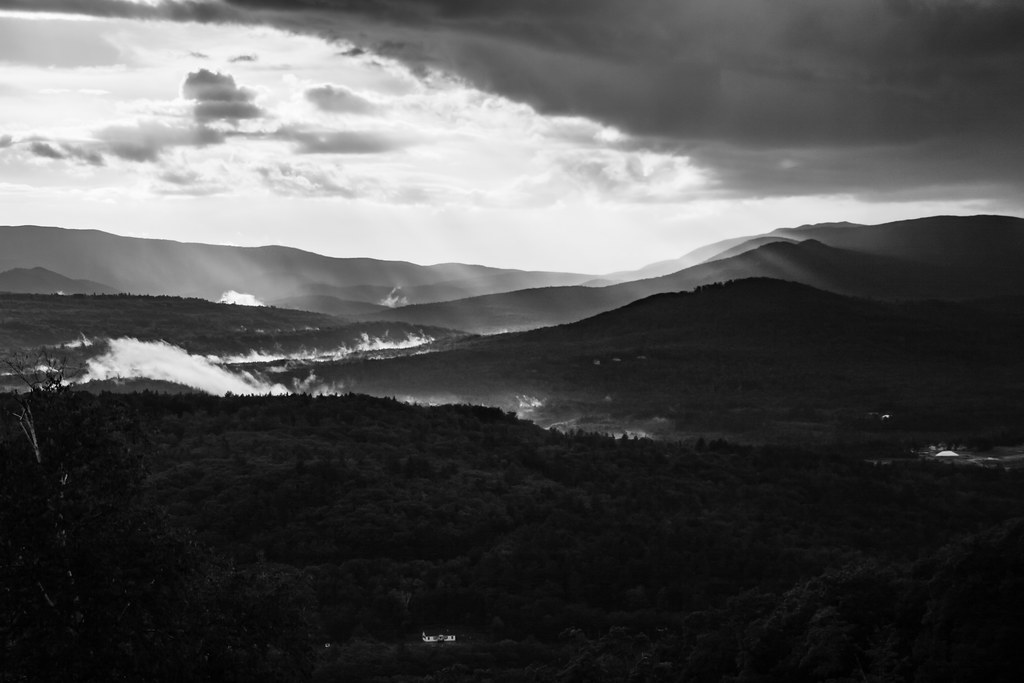
Storm's brewing
2013 Squam (154)
Topographic Map of Hogback Rd, Campton, NH, USA
Find elevation by address:

Places near Hogback Rd, Campton, NH, USA:
Campton
Page Road
Eastern Corner Road
32 Merrill Rd
8 Mountain View Rd
55 Spokesfield Rd
313 Mt Prospect Rd
Cindy's Lane
76 Spring Hill Rd
22 Weetamoo Trail
185 Reservoir Rd
185 Reservoir Rd
Pegwood Road
Donovan Farm Road
860 Perch Pond Rd
860 Perch Pond Rd
860 Perch Pond Rd
860 Perch Pond Rd
860 Perch Pond Rd
860 Perch Pond Rd
Recent Searches:
- Elevation of Corso Fratelli Cairoli, 35, Macerata MC, Italy
- Elevation of Tallevast Rd, Sarasota, FL, USA
- Elevation of 4th St E, Sonoma, CA, USA
- Elevation of Black Hollow Rd, Pennsdale, PA, USA
- Elevation of Oakland Ave, Williamsport, PA, USA
- Elevation of Pedrógão Grande, Portugal
- Elevation of Klee Dr, Martinsburg, WV, USA
- Elevation of Via Roma, Pieranica CR, Italy
- Elevation of Tavkvetili Mountain, Georgia
- Elevation of Hartfords Bluff Cir, Mt Pleasant, SC, USA