Elevation of Hoffmeister, NY, USA
Location: United States > New York > Hamilton County >
Longitude: -74.718203
Latitude: 43.3902522
Elevation: 572m / 1877feet
Barometric Pressure: 95KPa
Elevation Map:
Satellite Map:
Related Photos:

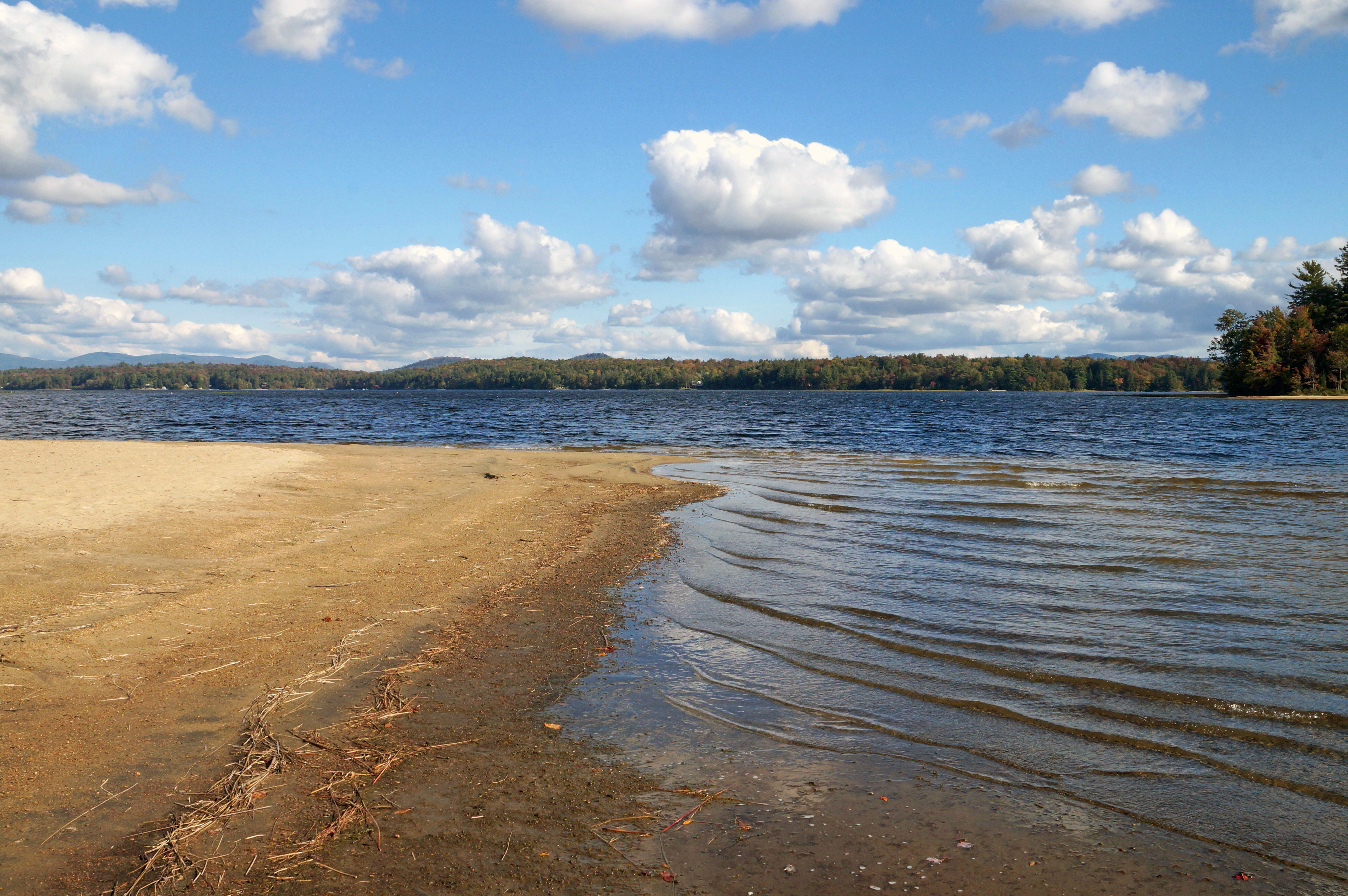
Aerial View of Big Bay in Fall Season, Adirondacks

Untitled_Panorama1.jpg

Little Sand Point

Gateway To The Great North Woods

Piseco Lake from Point Comfort

Beaver Dam

Storm Clouds Coming Back Once Again

Ominous Clouds
Looking Out To The Lake

The West Canada
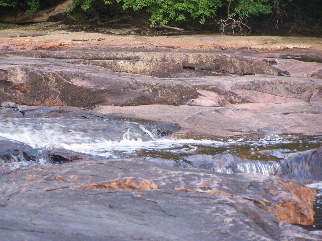
Flowing Water

Flowing Water

More Rain

Looking down streem as fog rolls through the Adirondacks
Watagh Club Sign

Waking Up Deligted to See the Sun

Where Snowmobile Trail Crosses

Old Growth Tree Up Close

Decided to Go Back Out on East Canada Creek

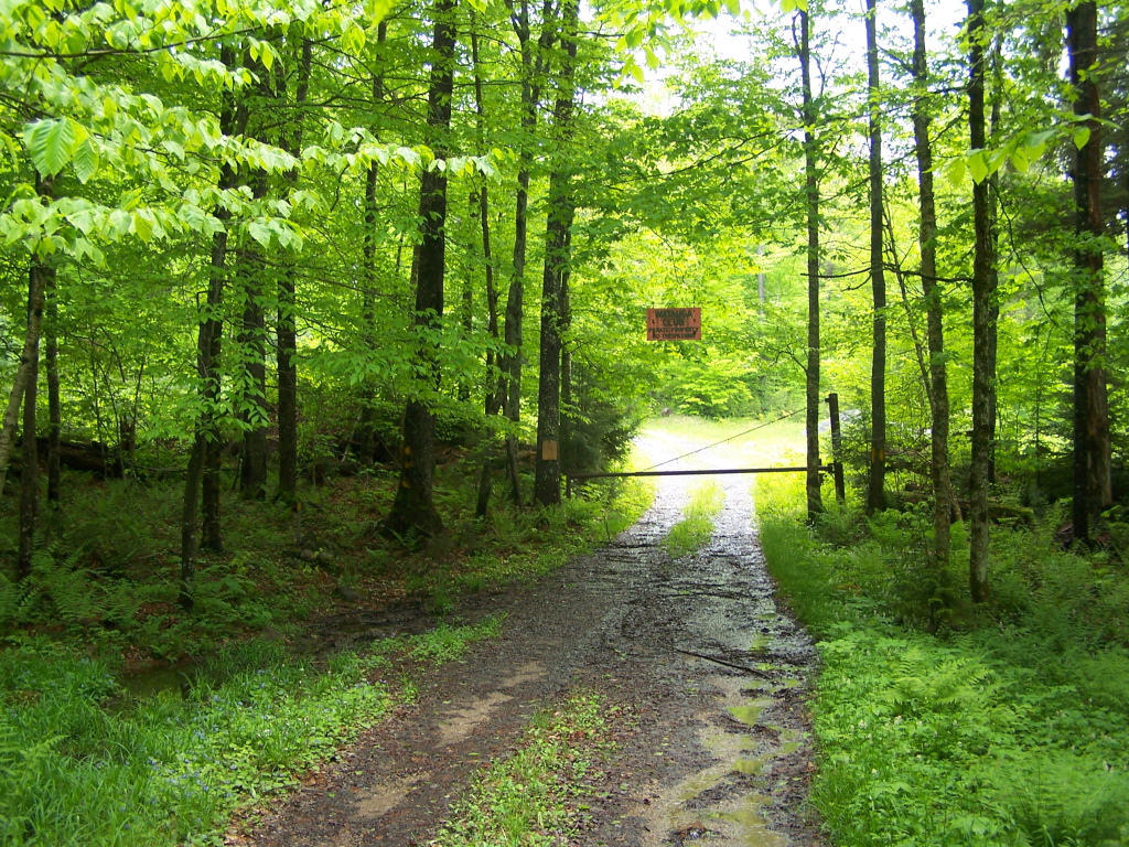
Campsite Set Back Off the Road
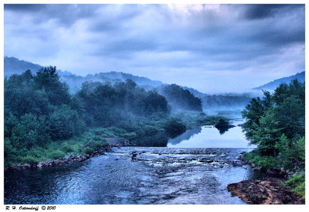
Fog on the West Canada Creek

Sand Lake
Topographic Map of Hoffmeister, NY, USA
Find elevation by address:

Places in Hoffmeister, NY, USA:
Places near Hoffmeister, NY, USA:
Morehouse
292 French Rd
147 Erb Rd
355 Perkins Mill Rd
Spruce Lake
Salisbury
Stratford
NY-29A, Salisbury Center, NY, USA
176 Avery Rd
378 Unclemier Rd
378 Unclemier Rd
378 Unclemier Rd
378 Unclemier Rd
378 Unclemier Rd
378 Unclemier Rd
383 Peck Rd
95 W Shore Rd
Haskells Inn
211 Keller Rd
Stratford
Recent Searches:
- Elevation of Corso Fratelli Cairoli, 35, Macerata MC, Italy
- Elevation of Tallevast Rd, Sarasota, FL, USA
- Elevation of 4th St E, Sonoma, CA, USA
- Elevation of Black Hollow Rd, Pennsdale, PA, USA
- Elevation of Oakland Ave, Williamsport, PA, USA
- Elevation of Pedrógão Grande, Portugal
- Elevation of Klee Dr, Martinsburg, WV, USA
- Elevation of Via Roma, Pieranica CR, Italy
- Elevation of Tavkvetili Mountain, Georgia
- Elevation of Hartfords Bluff Cir, Mt Pleasant, SC, USA