Elevation of Hobbs Road, Hobbs Rd, Kentucky, USA
Location: United States > Kentucky > Ballard County > Kevil >
Longitude: -88.825168
Latitude: 37.0885104
Elevation: 120m / 394feet
Barometric Pressure: 100KPa
Elevation Map:
Satellite Map:
Related Photos:
I ain't seen the sunshine since I don't know when

St Thomas More
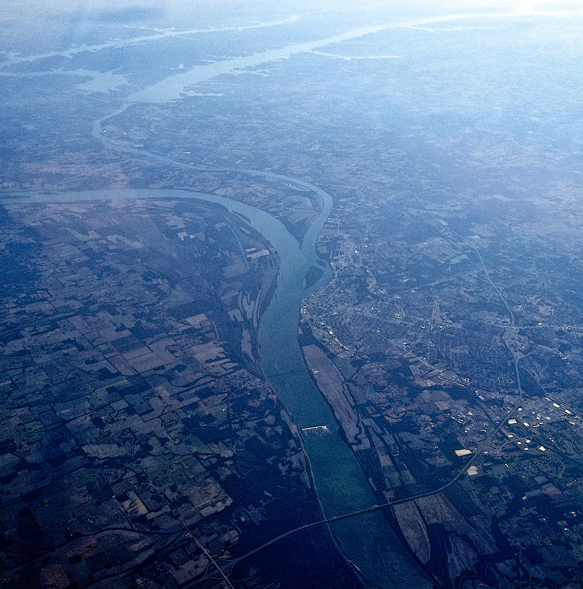
from 37,000 feet

Fire!

The View From Fort Massac
Scenic view

2017-08-21_14-25-30

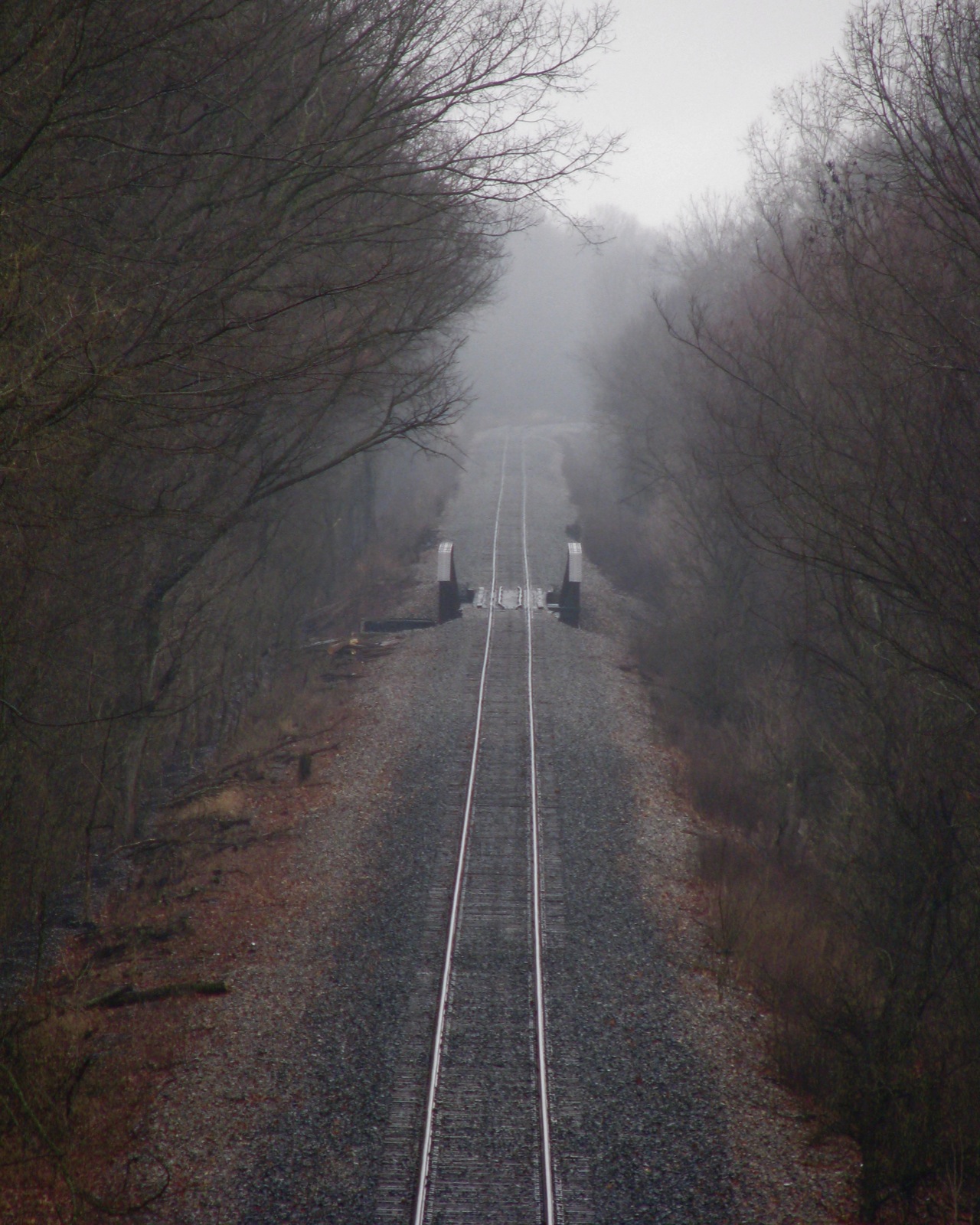
ROAD TRIP

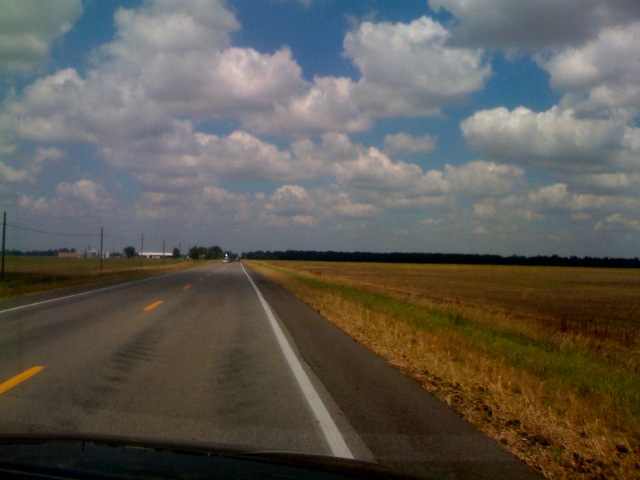
Day 3, view B

2017-08-21_14-24-50

The Man of Steel

2017-08-21_14-24-52

2017-08-21_13-43-12

2017-08-21_14-24-37

2017-08-21_13-02-56
Topographic Map of Hobbs Road, Hobbs Rd, Kentucky, USA
Find elevation by address:

Places near Hobbs Road, Hobbs Rd, Kentucky, USA:
5600 Hobbs Rd
Woodville Rd, West Paducah, KY, USA
Old Hinkleville Rd, Kevil, KY, USA
7396 Gage Rd
Kevil
Phelps Rd, Kevil, KY, USA
West Paducah
13612 Wickliffe Rd
530 Gholson Rd
Hinkleville Rd, La Center, KY, USA
Wickliffe Rd, La Center, KY, USA
Blandville Rd, Kevil, KY, USA
Mccracken County
301 Troon Rd
1845 Deerhaven Ln
Ascot Downs
140 Willow Spring Cove
234 Quail Run Dr
234 Quail Run Dr
5035 Hinkleville Rd
Recent Searches:
- Elevation of Corso Fratelli Cairoli, 35, Macerata MC, Italy
- Elevation of Tallevast Rd, Sarasota, FL, USA
- Elevation of 4th St E, Sonoma, CA, USA
- Elevation of Black Hollow Rd, Pennsdale, PA, USA
- Elevation of Oakland Ave, Williamsport, PA, USA
- Elevation of Pedrógão Grande, Portugal
- Elevation of Klee Dr, Martinsburg, WV, USA
- Elevation of Via Roma, Pieranica CR, Italy
- Elevation of Tavkvetili Mountain, Georgia
- Elevation of Hartfords Bluff Cir, Mt Pleasant, SC, USA