Elevation of Hirvijärventie 31, Kouvola, Finland
Location: Finland > Kouvola > Kouvola >
Longitude: 26.737928
Latitude: 60.6249368
Elevation: 22m / 72feet
Barometric Pressure: 101KPa
Elevation Map:
Satellite Map:
Related Photos:
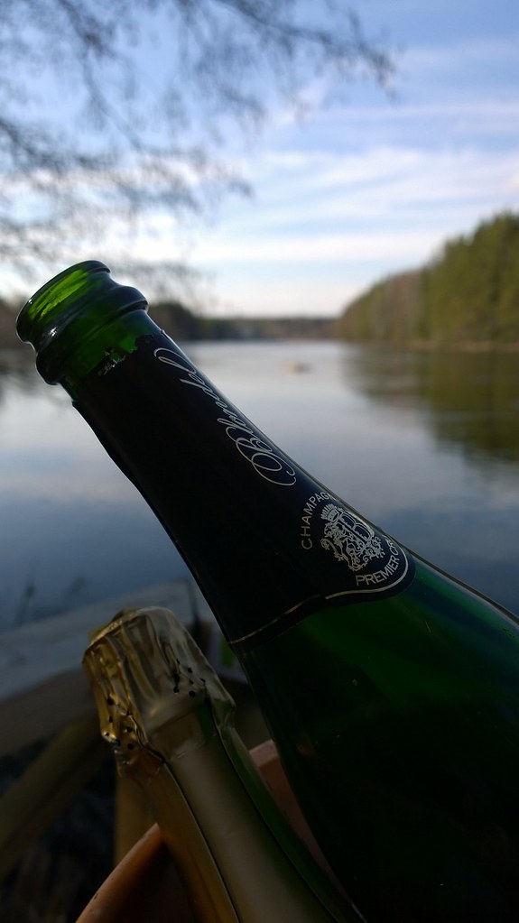
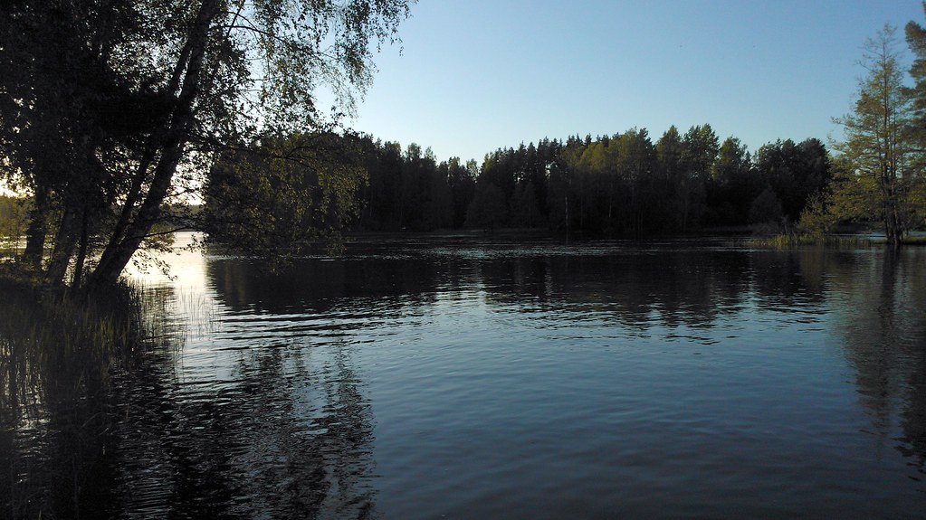
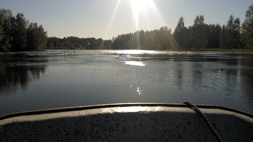
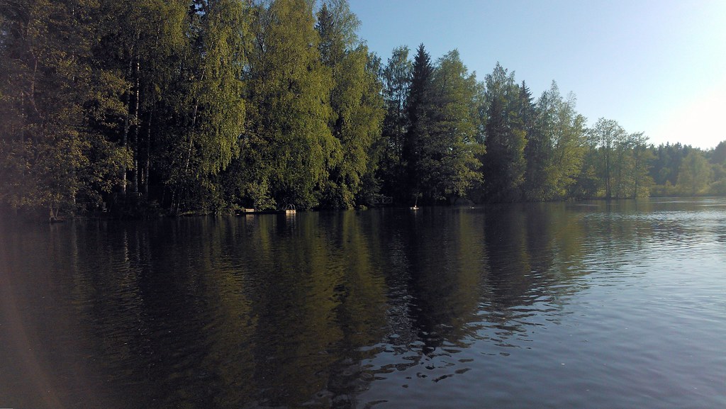
Sparkling views
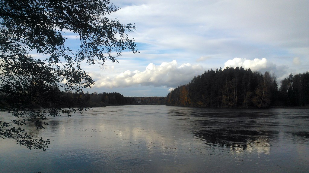
River views

RIver view and some alternatives
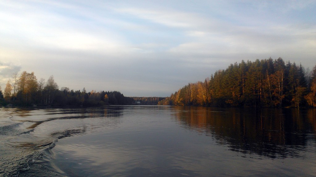
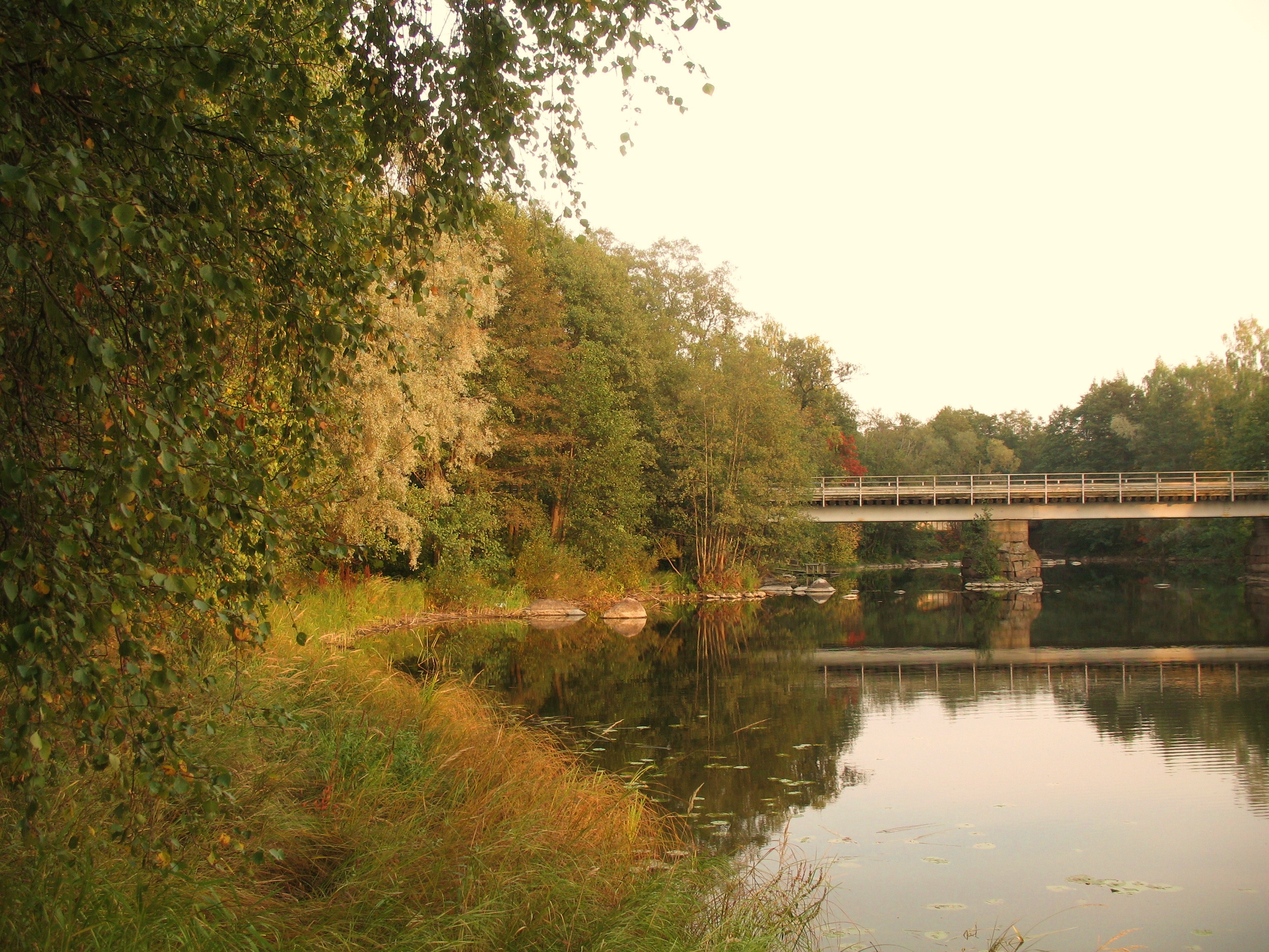
Autumn river views
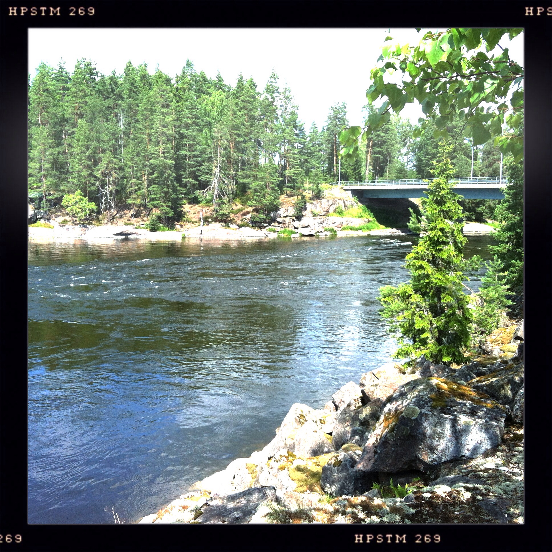
River view

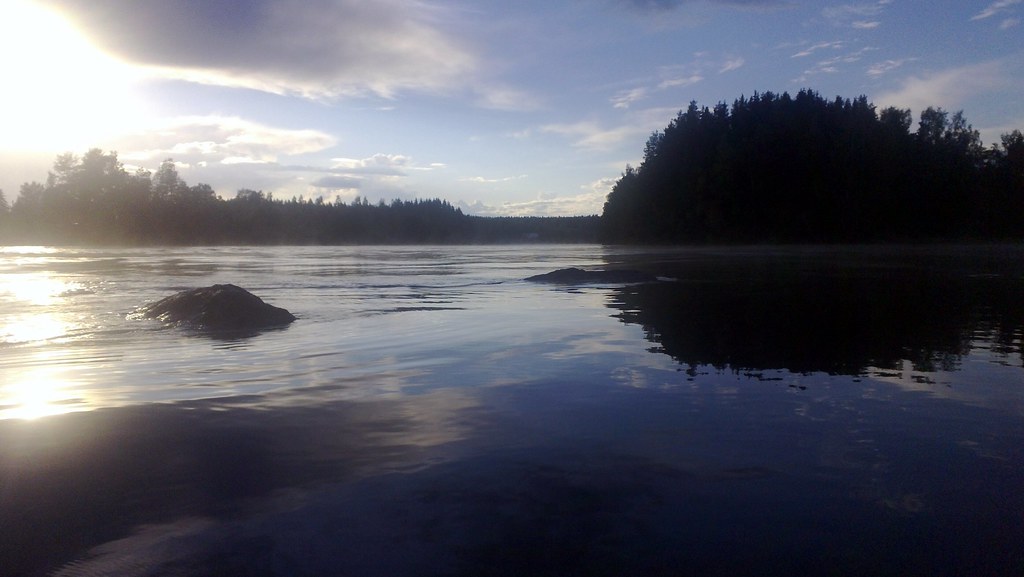
Sunset view from water level

Autumn river views

Evening view to the river
River view

River view
Avec views
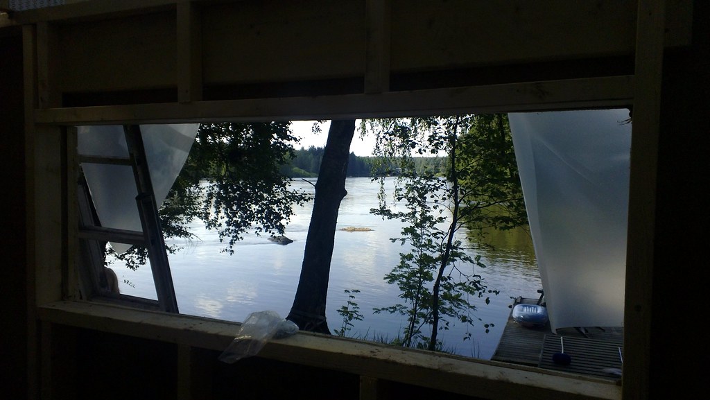
Future sauna view
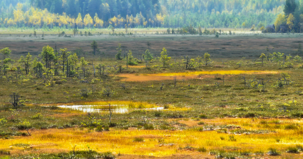
Valkmusa swamp
Carnival Of Rust, Pt. I
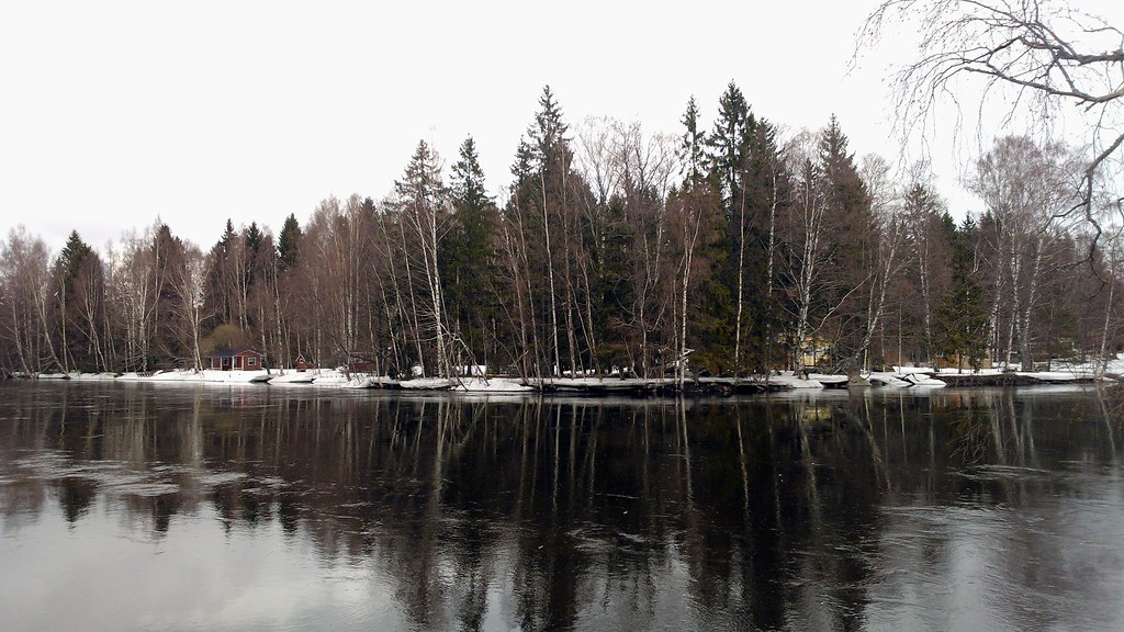
Water seemed to be VERY high based to where ice is. Hope no major damage at the summer house
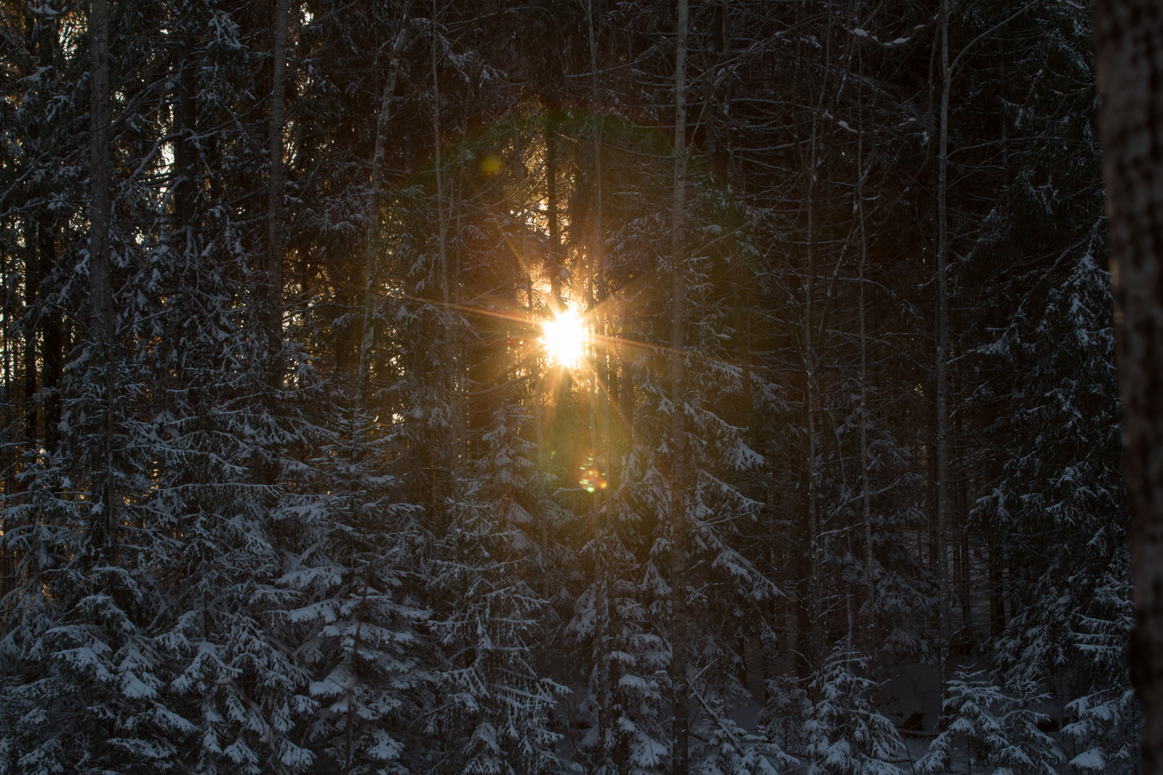
Winter sun

Heading home...
Water level still very high - almost all usually visible rocks are hidden
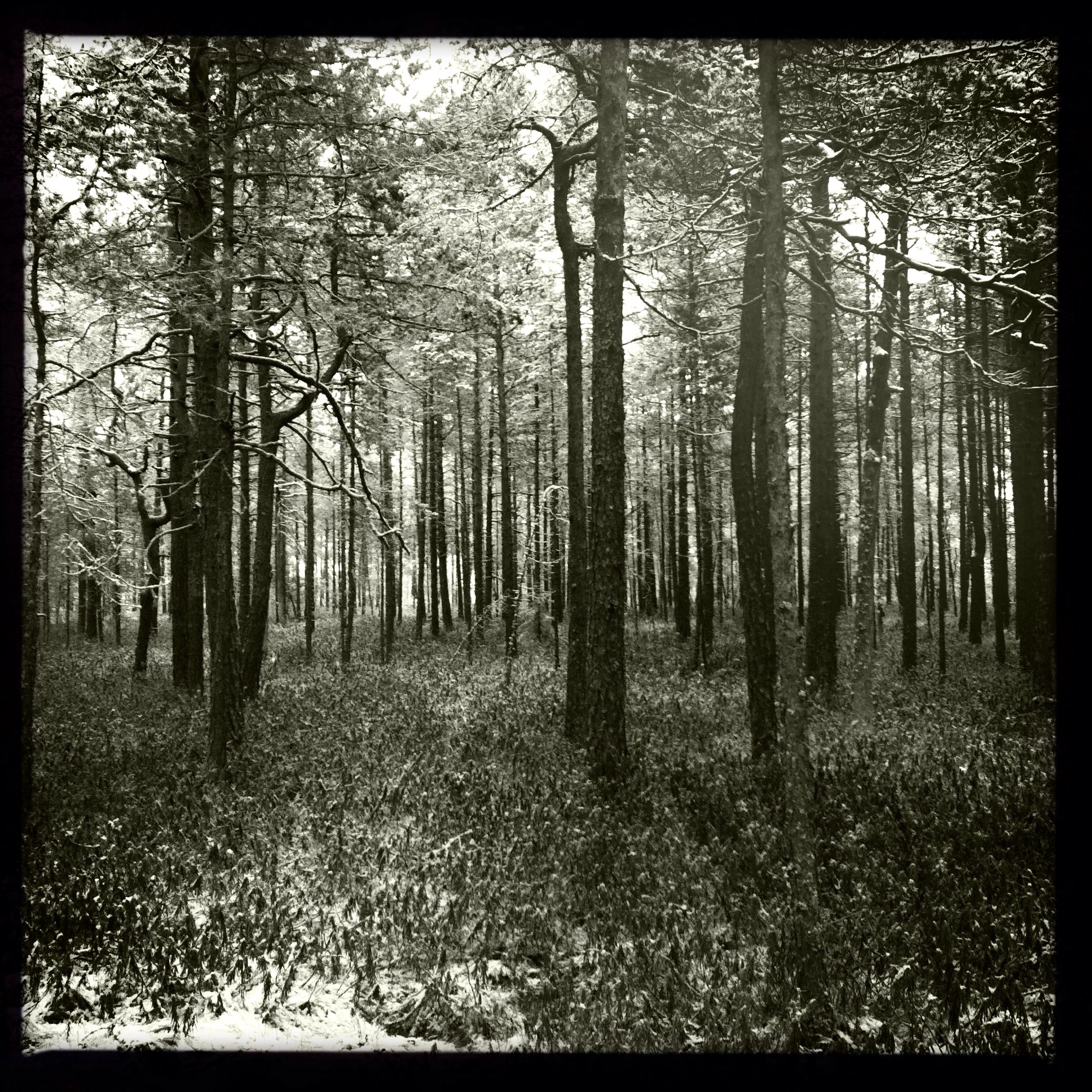
The start of the trail a Valkmusa
Water level still very high - almost all usually visible rocks are hidden

River haze
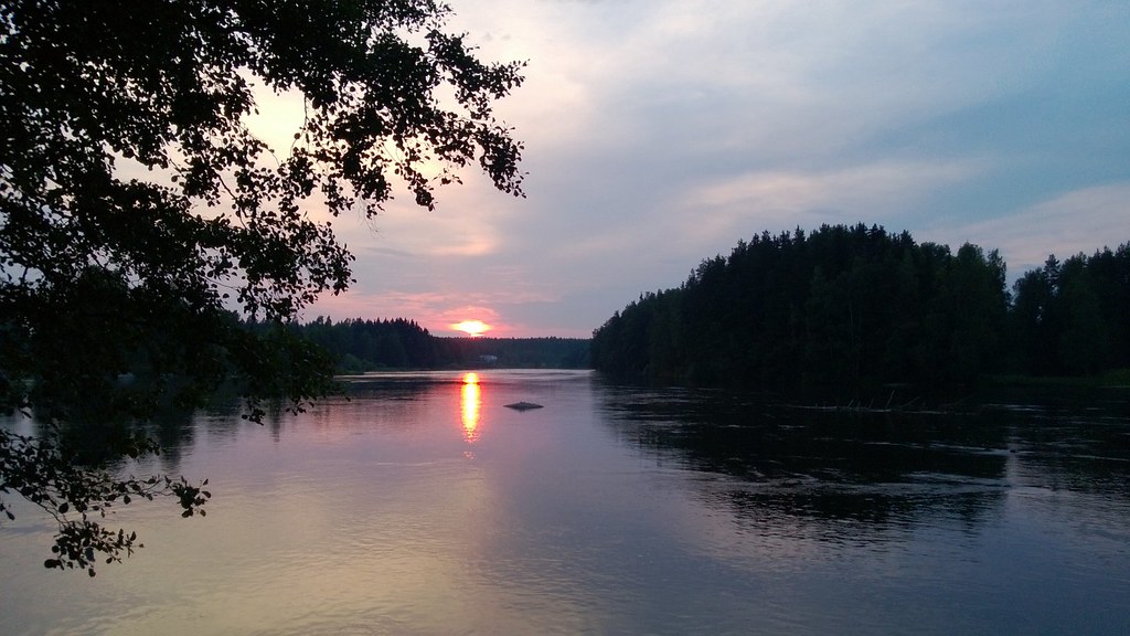
River sunset

Aurinko laskee aikaisin - Early sunset

Tammijärvi by night @ lightest time of the year

River sunset

Jarkko takes a swim tour around the island in the current
Short road trip today

Aaaah.. Back at the summer house
Topographic Map of Hirvijärventie 31, Kouvola, Finland
Find elevation by address:

Places near Hirvijärventie 31, Kouvola, Finland:
Niskasuontie, Kotka, Finland
Suolinnantie, Pyhtää, Finland
Huutjärvivägen 38, Pyttis, Finland
Metsätie 6, Kouvola, Finland
Ristontie 3, Kouvola, Finland
Kurensuontie 17, Kouvola, Finland
Yrjöntie 77, Kouvola, Finland
Munkkisaarenpolku 2, Kotka, Finland
Kukkulapolku
Viitoinmäki 76, Kouvola, Finland
Koskelontie 5
Koskelontie
Kymenlaakso
Ojamaantie 13, Kouvola, Finland
Uusikyläntie 5, Kotka, Finland
Tuikkukatu
Kalliokatu 34, Kouvola, Finland
Eterintie 7, Kouvola, Finland
Hallantie, Kotka, Finland
Lahdenkatu 25, Kotka, Finland
Recent Searches:
- Elevation of Corso Fratelli Cairoli, 35, Macerata MC, Italy
- Elevation of Tallevast Rd, Sarasota, FL, USA
- Elevation of 4th St E, Sonoma, CA, USA
- Elevation of Black Hollow Rd, Pennsdale, PA, USA
- Elevation of Oakland Ave, Williamsport, PA, USA
- Elevation of Pedrógão Grande, Portugal
- Elevation of Klee Dr, Martinsburg, WV, USA
- Elevation of Via Roma, Pieranica CR, Italy
- Elevation of Tavkvetili Mountain, Georgia
- Elevation of Hartfords Bluff Cir, Mt Pleasant, SC, USA