Elevation of Hinton Rd, Pioneer, CA, USA
Longitude: -120.56755
Latitude: 38.4344168
Elevation: -10000m / -32808feet
Barometric Pressure: 295KPa
Elevation Map:
Satellite Map:
Related Photos:

Indian Grinding Rock

Moon Over Sutter Creek, variant
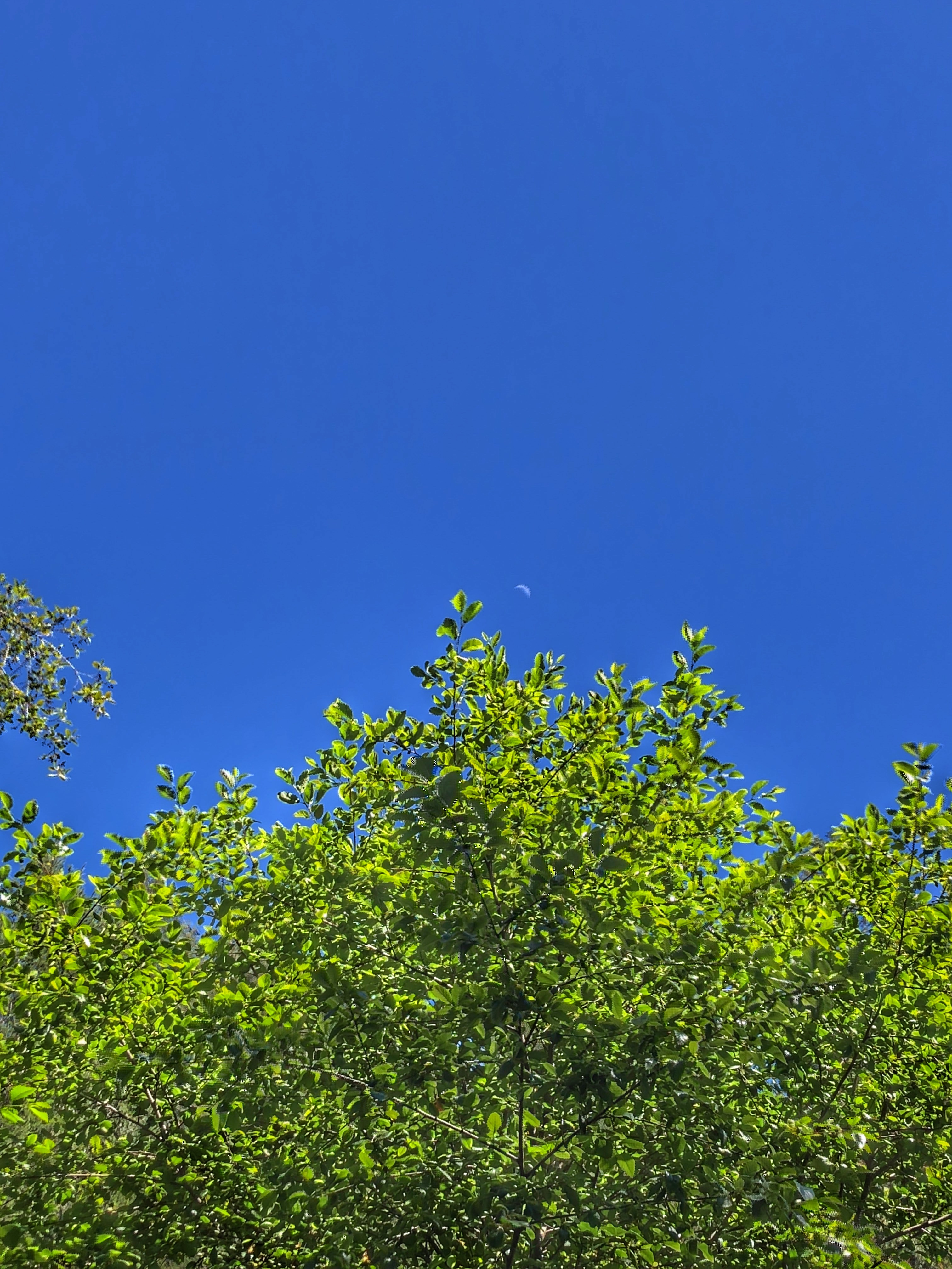
Moon Over Sutter Creek

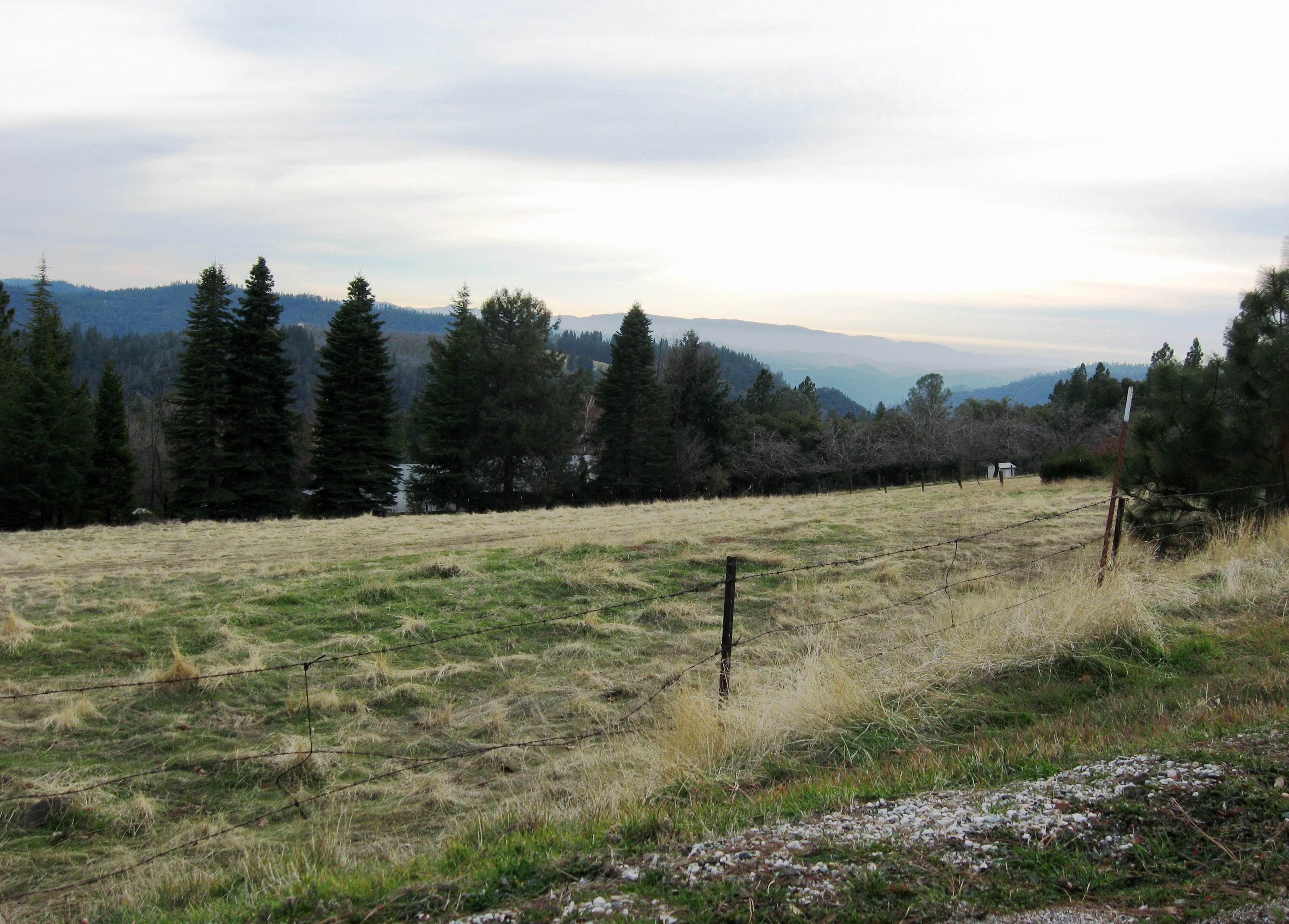
View from Omo Road - Tahoe National Forest

View across the canyon from Omo Ranch Road

Tahoe Forest - View across the canyon Omo Ranch Road

Tahoe Forest - View across the canyon Omo Ranch Road

Tahoe Forest - View across the canyon Omo Ranch Road

Tahoe Forest - View across the canyon Omo Ranch Road

Tahoe Forest - View across the canyon Omo Ranch Road

The "Sandy Gulch Dragon"

Nice Mountain View 1
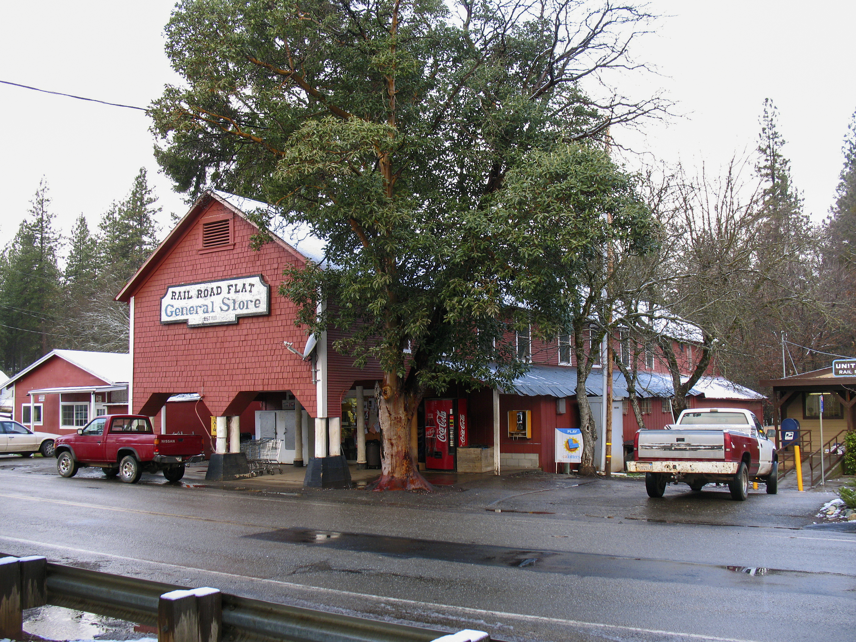
Rail Road Flat General Store

Miwok Ceremonial Roundhouse, 5 of 6

Miwok Ceremonial Roundhouse, 4 of 6

Miwok Ceremonial Roundhouse, 2 of 6
This is the view from my grandpa's front porch. I wouldn't mind waking up to this every morning. #photooftheday
Nice View 3

Nice View 2

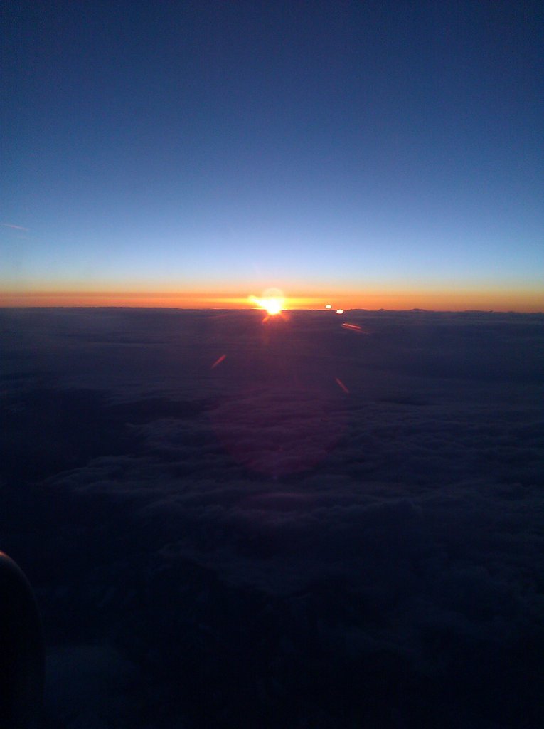
Fiery sunset

Saturday night

Stalactites in Black Chasm Cavern, Volcano, California

Railroad Flat

Stalactites & Helictites
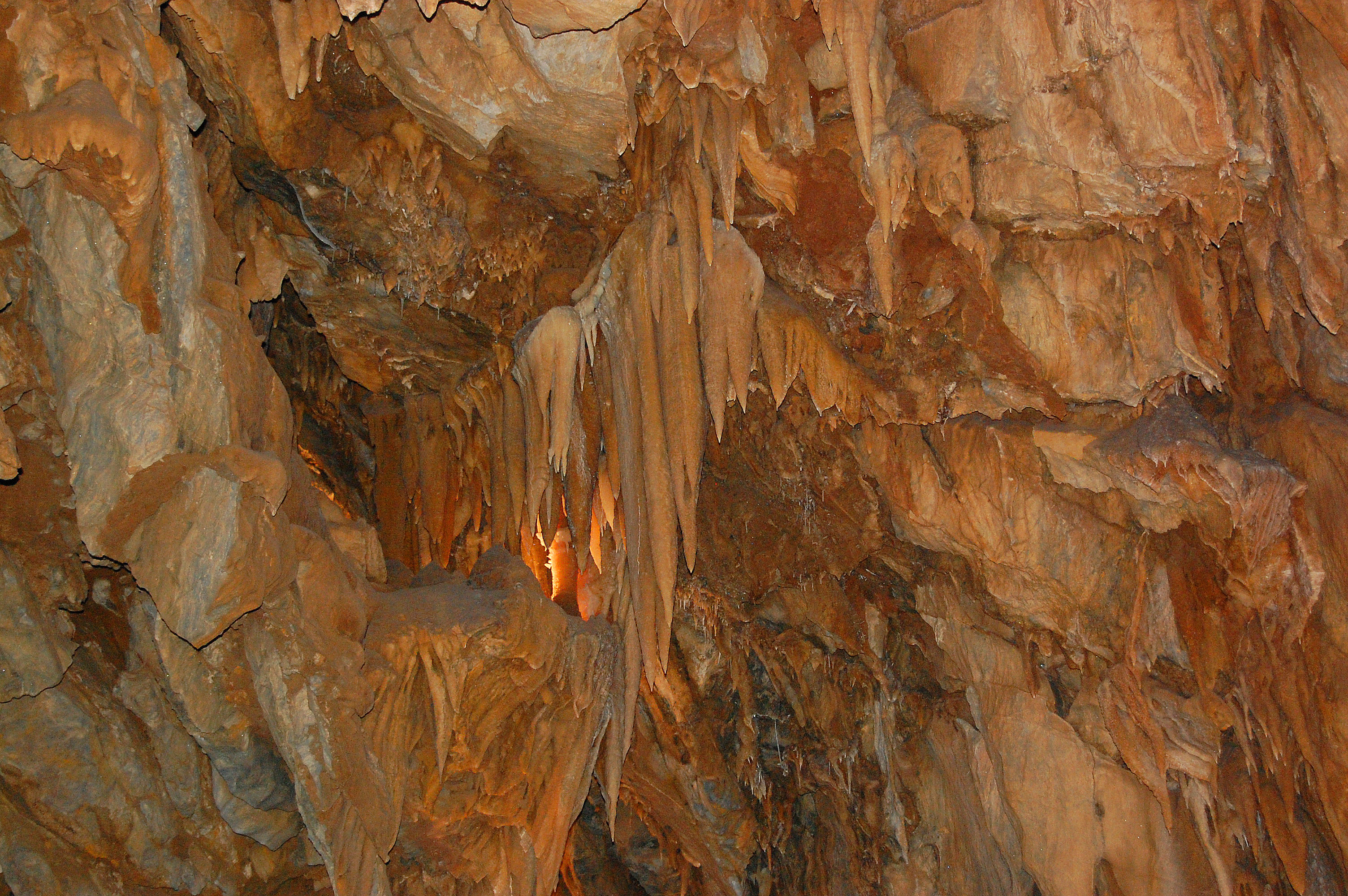
Black Chasm Cavern

Black Chasm Cavern
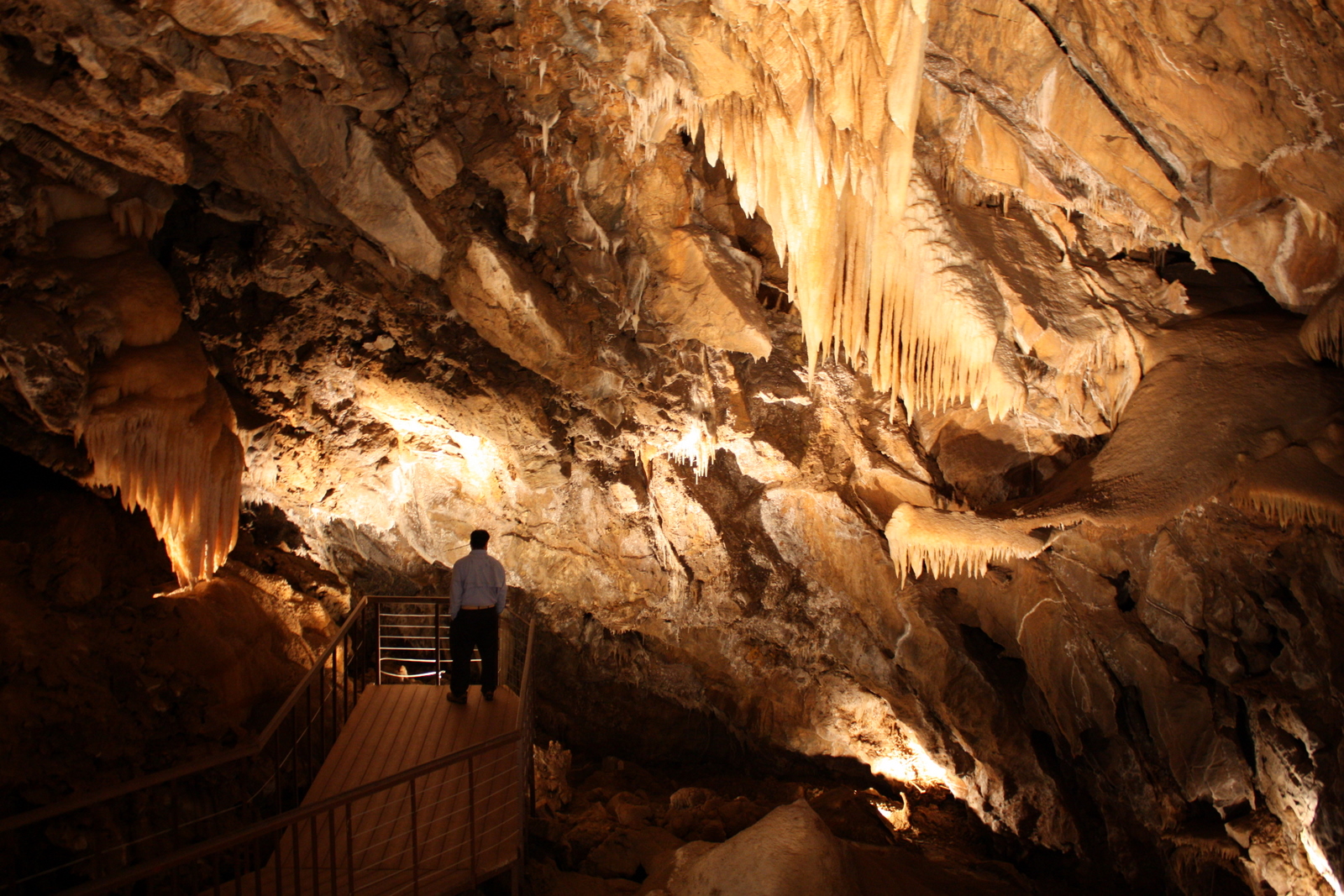
Black Chasm Cavern

Black Chasm Caverns

Black Chasm

Black Chasm Caverns

Helictites & Stalactites

Black Chasm Cavern

Black Chasm Caverns

Black Chasm Caverns

u’macha (bark house)

Helictites form along cracks in the rock

speleothem 2

DOS05-045

Helictites form along cracks in the rock
almost home
Topographic Map of Hinton Rd, Pioneer, CA, USA
Find elevation by address:

Places near Hinton Rd, Pioneer, CA, USA:
Le's Chinese Restaurant
California 88 & Hinton Road
24850 Buckhorn Ridge Rd
Pioneer Elementary School
Pioneer
California 88 & Defender Grade Road
15837 Schaefer Ranch Rd
California 88 & Pioneer Creek Road
25053 Buckhorn Ridge Rd
Pioneer Hardware
24968 Ridge Crest Dr
Pioneer Park
California 88 & Carson Drive
Pioneer Post Office
Cedar Heights Drive
24225 Gold Cir Dr
California 88 & Cedar Heights Drive
16008 Cedar Heights Dr
24100 Carson Dr
Gallagher's Pub
Recent Searches:
- Elevation of Corso Fratelli Cairoli, 35, Macerata MC, Italy
- Elevation of Tallevast Rd, Sarasota, FL, USA
- Elevation of 4th St E, Sonoma, CA, USA
- Elevation of Black Hollow Rd, Pennsdale, PA, USA
- Elevation of Oakland Ave, Williamsport, PA, USA
- Elevation of Pedrógão Grande, Portugal
- Elevation of Klee Dr, Martinsburg, WV, USA
- Elevation of Via Roma, Pieranica CR, Italy
- Elevation of Tavkvetili Mountain, Georgia
- Elevation of Hartfords Bluff Cir, Mt Pleasant, SC, USA