Elevation of Hillsdale Rd, Richmond, RI, USA

Location: United States > Rhode Island > Washington County > Richmond >

Longitude: -71.638788

Latitude: 41.545432

Elevation: -10000m / -32808feet

Barometric Pressure: 295KPa

Elevation Map:

elevation map of Hillsdale Rd, Richmond, RI, USA

Satellite Map:

Satellite map of Hillsdale Rd, Richmond, RI, USA

Related Photos:

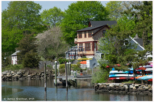
wickford rhodeisland usa wickfordri wickfordcove
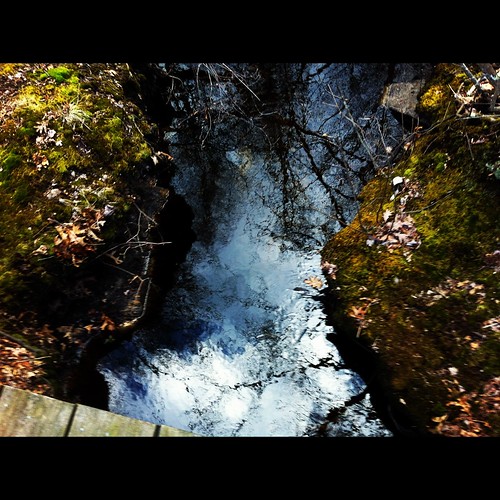
View from the Hussey Bridge
wickford rhodeisland usa wickfordri wickfordcove
View from the rocks
wasp idplease 11 rhodeisland rattlesnakeledge realmacro insectmacro waspmacro sooc westgreenwich pentaxk20d tamronadaptall218f11tube tamronadaptall2pentaxkamount tamronadaptall2model52bbsp90mmf25macrolens wickaboxettmanagementarea
Wasp Face
wasp idplease 11 rhodeisland rattlesnakeledge realmacro insectmacro waspmacro sooc westgreenwich pentaxk20d tamronadaptall218f11tube tamronadaptall2pentaxkamount tamronadaptall2model52bbsp90mmf25macrolens wickaboxettmanagementarea
Wasp Macro
blue black ice sunroom icemelt icestract mt2ri
Caution! Black Ice ~ Icemelt Series #3
usa water unitedstates connecticut ct stereograph sluice cairn allrightsreserved greenfalls voluntown narragansetttrail pachaugstateforest greenfallriver mherbertkenyon
Wooden Sluice on Cairns in Green Fall River Ravine
ri panorama usa water unitedstates dam rhodeisland allrightsreserved rockville hopkinton yawgoog redtrail yellowtrail moonrisekingdom
Panoramic View of Yawgoog Pond from the Dam
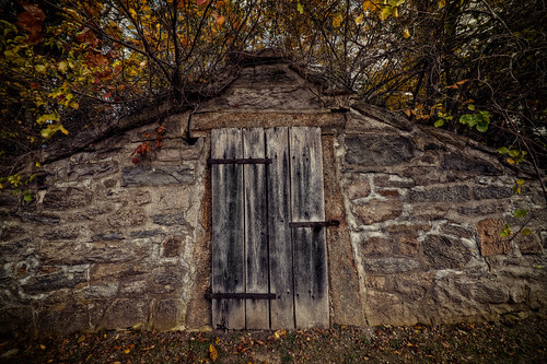
ri brown grave death vampire newengland folklore dracula lena rhodeisland exeter undead vault legend mercy vampyre mercybrown consumption tuberculosis providencejournal receivingvault chestnuthillcemetery jeffbelanger trigphotography frankcgrace legendtripping
The Receiving Vault
ri panorama usa water unitedstates rhodeisland allrightsreserved rockville hopkinton armstrongpoint yawgoog narragansetttrail yellowtrail southwestpassage daviscampsite
Panoramic View of the Southwest Passage
ri usa water unitedstates rhodeisland allrightsreserved rockville hopkinton armstrongpoint yawgoog narragansetttrail yellowtrail daviscampsite schoonerisland
View of Schooner Island from Armstrong Point
ri panorama usa water unitedstates rhodeisland allrightsreserved rockville hopkinton yawgoog toadrock orangetrail wincheckpond covetrail
Panoramic View of Wincheck Pond from Toad Rock
ri usa water unitedstates rhodeisland allrightsreserved rockville hopkinton northroad wincheckpond
View of Wincheck Pond from North Road
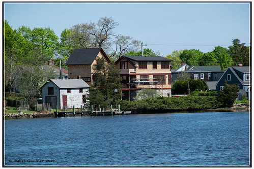
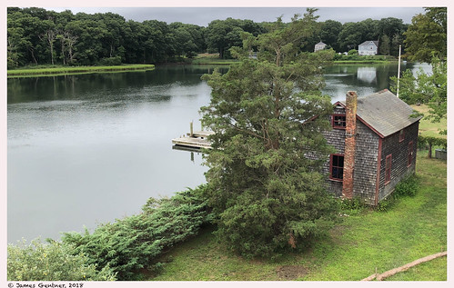
wickford rhodeisland usa wickfordri wickfordcove
Boatman's shed & New House
wickfordri
View from the Deck
square squareformat iphoneography instagramapp uploaded:by=instagram
Great view on my bike ride tonight
View from the bedroom
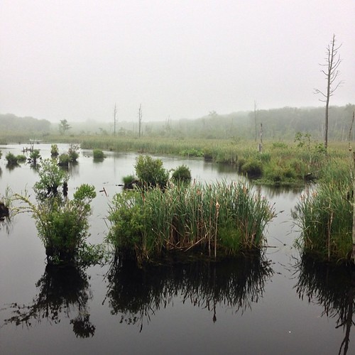
trail greatswamp wordenspond
Shoreline path
amtrak northeastcorridor kingstonri interlockingtowers
Kingston Tower, front view
amtrak northeastcorridor kingstonri interlockingtowers
Kingston Tower, southerly view
tides hightide wickfordri wickfordcove
Looking West from the Dock
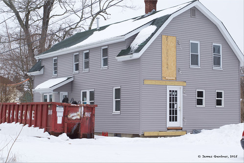
rhodeisland dumpsters renovations wickford
The other view from the deck
autumn lake fall vibrant rhodeisland mishnock odc3 rjoannejohnson
ODC3 Odd: Explore, October 23, 2012
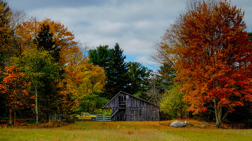
autumn landscape newengland rhodeisland fujifilm 1855 xe1 maxwellmayswildliferefuge
New England Autumn [ Explored ]
ri fall leaves river waterfall 1740 leegnd 5dii leecp nooseneckhollow
Nooseneck lower falls
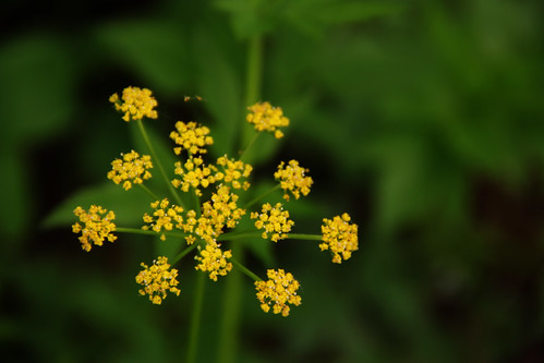
flower green yellow woods background pop excitement orton
Yellow Flowers Like Fireworks
arcadiastatepark nikond7100 manualfocus water recreation arcadiamanagementarea tamron3580mmf2835bbarmacrozoommodelqz35m modelqz35m tamron3580mmf2835 arcadianationalpark richmondrhodeislandusa exeterrhodeislandusa westgreenwichrhodeislandusa hikingtrail autumn rhodeisland ri rhodeislandusa sirois pond browningmillpond manuallens
Arcadia Fall 13_2
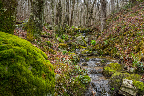
spring rhodeisland arcadia stream brook moss forest woods water
Spring is beginning to take hold
orange fall colors leaves waterfall rhodeisland steppingstone gnd 5dii leecp
stepping stone swirlies
uploaded:by=flicksquare foursquare:venue=4c2f423c213c2d7fab7c305d geo:lat=4147005074322399 geo:lon=7149697914896606
Sunday am
square squareformat amaro iphoneography instagramapp uploaded:by=instagram foursquare:venue=4c2f423c213c2d7fab7c305d
Need I say more?
uploaded:by=flicksquare foursquare:venue=4c2f423c213c2d7fab7c305d geo:lat=4147054028703743 geo:lon=7149630672614403
Happy fathers day! Hit them well.
arcadiastatepark nikond7100 manualfocus water waterfall recreation arcadiamanagementarea hdr rhodeislandusa tamron3580mmf2835bbarmacrozoommodelqz35m modelqz35m tamron3580mmf2835 arcadianationalpark richmondrhodeislandusa exeterrhodeislandusa westgreenwichrhodeislandusa hikingtrail sunset autumn rhodeisland ri sirois pond browningmillpond photomatixessentials photomatix manuallens
Arcadia Fall 13_15_HDR
Camera Roll-1041
trees usa fall reflections nikon unitedstates newengland foliage rhodeisland d610 southkingstown barberpond
Barber Pond
uploaded:by=flicksquare foursquare:venue=4c2f423c213c2d7fab7c305d geo:lat=41470294707098084 geo:lon=71496671921457
Golf time
arcadiastatepark nikond7100 manualfocus water fishery recreation arcadiamanagementarea rhodeislandusa tamron3580mmf2835bbarmacrozoommodelqz35m modelqz35m tamron3580mmf2835 arcadianationalpark richmondrhodeislandusa exeterrhodeislandusa westgreenwichrhodeislandusa hikingtrail autumn rhodeisland ri sirois pond browningmillpond manuallens
Arcadia Fall 13_5
trees usa lake nikon foliage rhodeisland barberspond d7k d7000
Barbers Pond
june iphone mustardyellow owp shuttersisters iphoneography
The yellow dot trail
water tuckertown
PRE_2010-10-31-160352
wickford rhodeisland usa heron birdsinflight wickfordri wickfordcove waterbirds
Heron leaving the dock
arcadiastatepark nikond7100 manualfocus water fishery recreation arcadiamanagementarea rhodeislandusa tamron3580mmf2835bbarmacrozoommodelqz35m modelqz35m tamron3580mmf2835 arcadianationalpark richmondrhodeislandusa exeterrhodeislandusa westgreenwichrhodeislandusa hikingtrail sunset autumn rhodeisland ri sirois pond browningmillpond manuallens
Arcadia Fall 13_6