Elevation of Highway 16 Cafe, Spur 16 Brgy, Don Salvador Benedicto, Negros Occidental, Philippines
Location: Philippines > Western Visayas > Negros Occidental > Bunga >
Longitude: 123.253137
Latitude: 10.580256
Elevation: 751m / 2464feet
Barometric Pressure: 93KPa
Elevation Map:
Satellite Map:
Related Photos:

Another View of Salvador Benedicto

View from La Vista Highlands Resort, San Carlos, Negros Occidental

Morning Light across the fields of Don Salvador

Road Development in Salvador Benedicto

Sunrise touching the fields of Don Salvador

First Light | Mambukal Falls, Murcia
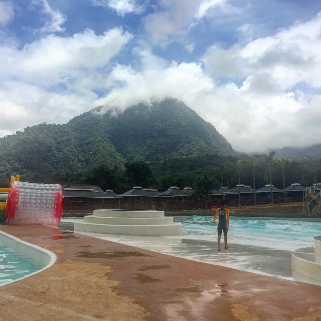
A resort on a mountain

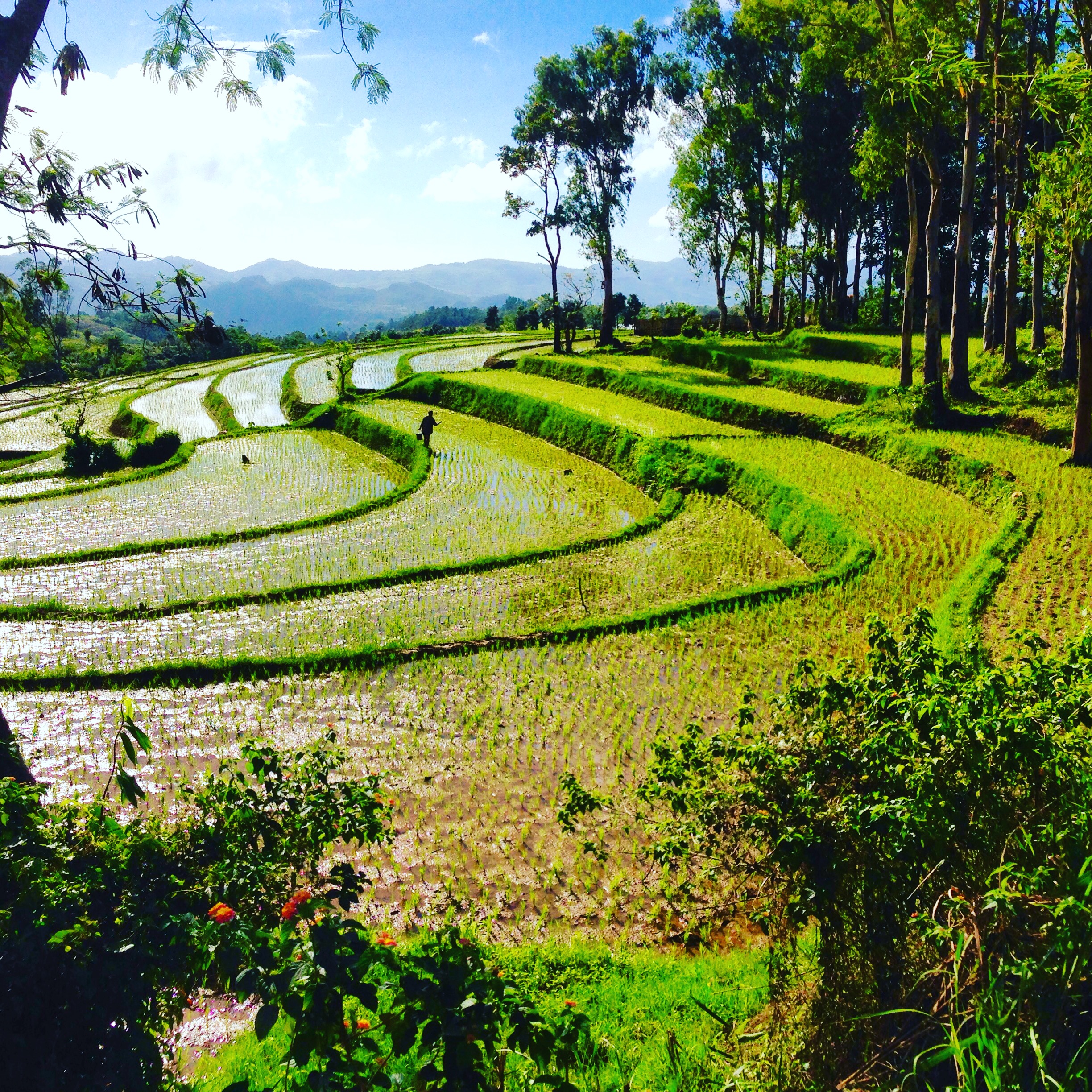
Rice terraces

6th falls!

I knew, water is the cure. ???? Summer day! #AwesomeSince90 ✊
Negros occidental
Topographic Map of Highway 16 Cafe, Spur 16 Brgy, Don Salvador Benedicto, Negros Occidental, Philippines
Find elevation by address:

Places near Highway 16 Cafe, Spur 16 Brgy, Don Salvador Benedicto, Negros Occidental, Philippines:
Bunga
Don Salvador Benedicto
Lion's Park
Canlandog
Pandanon
Grassland
Amayco
Hicovill Highland Resort
Cabatangan
Campuestohan Highland Resort Shark Wave
Campuestohan Highland Resort
Ilaya Highland Resort
San Fernando
Patag Elementary School
Patag Highland Resort
Buenavista
Murcia
Lantawan View
Duyan Café
Santa Rosa
Recent Searches:
- Elevation of Corso Fratelli Cairoli, 35, Macerata MC, Italy
- Elevation of Tallevast Rd, Sarasota, FL, USA
- Elevation of 4th St E, Sonoma, CA, USA
- Elevation of Black Hollow Rd, Pennsdale, PA, USA
- Elevation of Oakland Ave, Williamsport, PA, USA
- Elevation of Pedrógão Grande, Portugal
- Elevation of Klee Dr, Martinsburg, WV, USA
- Elevation of Via Roma, Pieranica CR, Italy
- Elevation of Tavkvetili Mountain, Georgia
- Elevation of Hartfords Bluff Cir, Mt Pleasant, SC, USA