Elevation of High West Drive, High W Dr, Gamewell, NC, USA
Location: United States > North Carolina > Caldwell County > Lenoir > Lenoir >
Longitude: -81.6092401
Latitude: 35.8850747
Elevation: 396m / 1299feet
Barometric Pressure: 0KPa
Related Photos:

Brown Mountain OHV Trail

Hibriten Mountain

Smokey Creek Hunting Club

Smokey Creek Hunting Club

Smokey Creek Hunting Club

Moonset Over the Blue Ridge Mountains 48/52

[Full View] Old Hat, Downtown Lenoir, Jonathan Cox Photoshoot
Wilson's Creek near Lenoir, NC

Hibriten Mountain

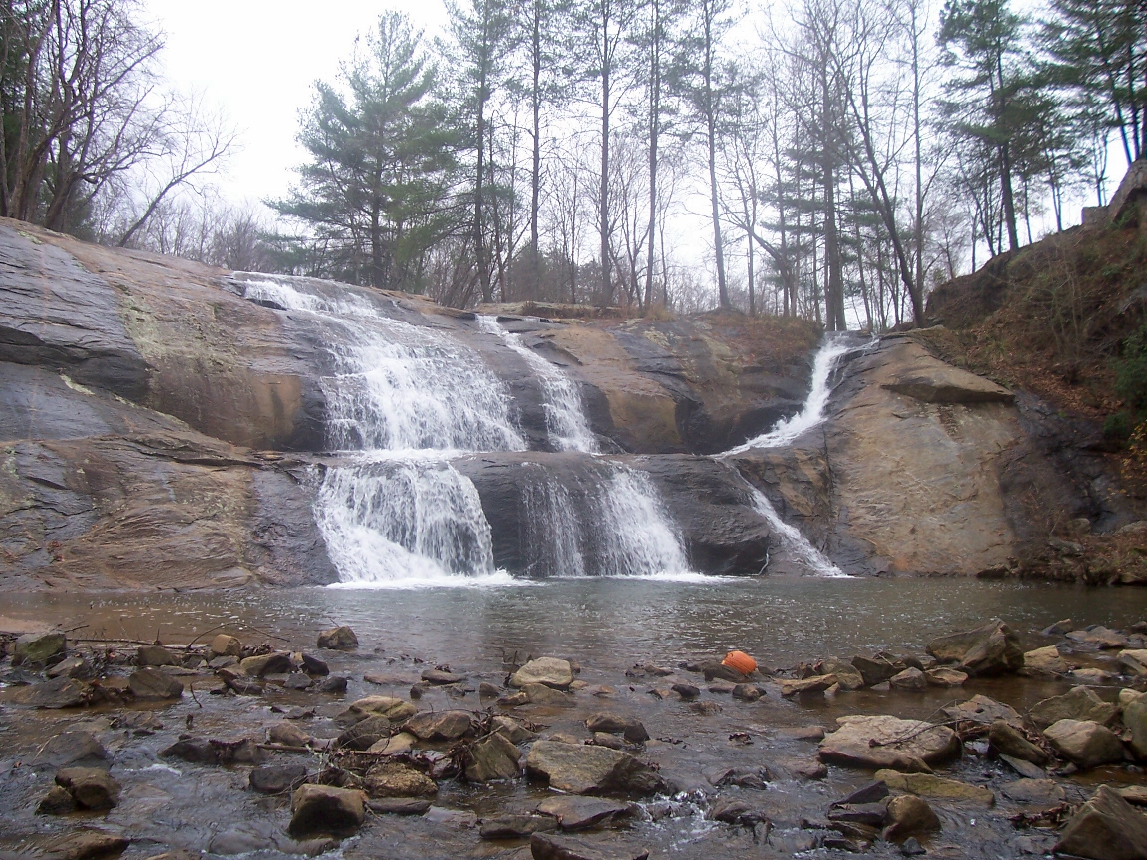
McGalliard Falls Wide View

Front View, Caldwell County Courthouse

Cabin view

The view of the Blue Ridge Mountains just outside Blowing Rock NC.

IMG_0953A view up the creek
Waterfront View

Aisle view of the cross

Gazabo view

The View

Valley view
Bridge view pano

View from the road
Irish Creek Farm 15/52

Gentle Flows

McGalliard Falls
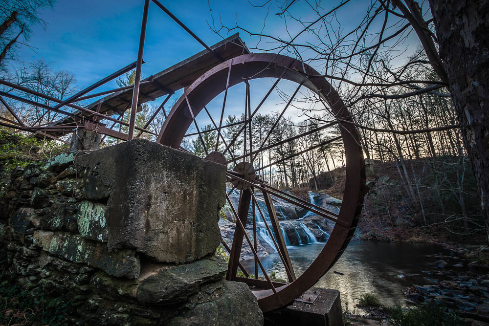
McGalliard Falls Water Wheel

Rainy Day Wilson Creek

Hibriten Mountain
McGalliard Falls

God's Masterpiece

Wilson Creek
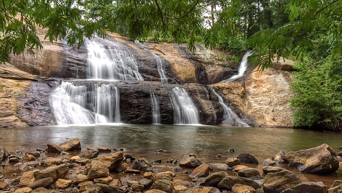
McGalliard Falls

Wilson Creek, Pisgah National Forest, North Carolina

Brown Mountain Beach Road, Pisgah National Forest, North Carolina

McGalliard Falls-5841

McGalliard Falls-5847

McGalliard Falls

Wilson Creek Wild and Scenic River, North Carolina
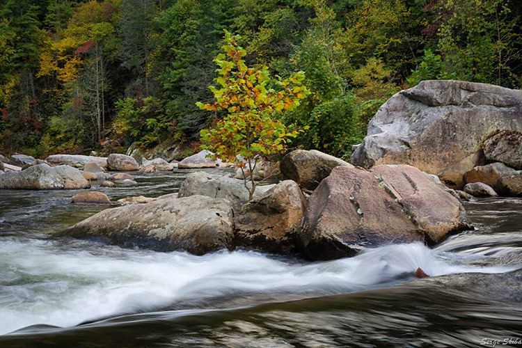
Fully immersed in the #wilsoncreek wild & scenic river near Morganton, #northcarolina My favorite place to go #whitewaterkayaking #autumn #foliage #fall

Smyrna Baptist Church, Brown Mountain Beach Road, North Carolina
Topographic Map of High West Drive, High W Dr, Gamewell, NC, USA
Find elevation by address:

Places near High West Drive, High W Dr, Gamewell, NC, USA:
1202 Honeycomb Pl
Gamewell
3067 Spencer Heights Dr
3980 Rocky Rd
Brushy Pl SW, Lenoir, NC, USA
Lenoir
4008 Rocky Rd
Abington Road
Crump Rd, Lenoir, NC, USA
1314 Round Mountain Pkwy
Walnut Ridge Drive
Walnut Ridge Drive
Red Cedar Way
1500 Red Cedar Way
3479 Leprechaun Ln
3479 Leprechaun Ln
2955 Alpine Ln
201 N Fairview Dr
Equestrian Drive
2020 Ada Williams Ln
Recent Searches:
- Elevation map of Greenland, Greenland
- Elevation of Sullivan Hill, New York, New York, 10002, USA
- Elevation of Morehead Road, Withrow Downs, Charlotte, Mecklenburg County, North Carolina, 28262, USA
- Elevation of 2800, Morehead Road, Withrow Downs, Charlotte, Mecklenburg County, North Carolina, 28262, USA
- Elevation of Yangbi Yi Autonomous County, Yunnan, China
- Elevation of Pingpo, Yangbi Yi Autonomous County, Yunnan, China
- Elevation of Mount Malong, Pingpo, Yangbi Yi Autonomous County, Yunnan, China
- Elevation map of Yongping County, Yunnan, China
- Elevation of North 8th Street, Palatka, Putnam County, Florida, 32177, USA
- Elevation of 107, Big Apple Road, East Palatka, Putnam County, Florida, 32131, USA
- Elevation of Jiezi, Chongzhou City, Sichuan, China
- Elevation of Chongzhou City, Sichuan, China
- Elevation of Huaiyuan, Chongzhou City, Sichuan, China
- Elevation of Qingxia, Chengdu, Sichuan, China
- Elevation of Corso Fratelli Cairoli, 35, Macerata MC, Italy
- Elevation of Tallevast Rd, Sarasota, FL, USA
- Elevation of 4th St E, Sonoma, CA, USA
- Elevation of Black Hollow Rd, Pennsdale, PA, USA
- Elevation of Oakland Ave, Williamsport, PA, USA
- Elevation of Pedrógão Grande, Portugal