Elevation of High Top Rd, Linden, VA, USA

Location: United States > Virginia > Warren County > Happy Creek > Linden >

Longitude: -78.058662

Latitude: 38.943806

Elevation: 466m / 1529feet

Barometric Pressure: 96KPa

Elevation Map:

elevation map of High Top Rd, Linden, VA, USA

Satellite Map:

Satellite map of High Top Rd, Linden, VA, USA

Related Photos:

frontroyal virginia unitedstates va shenandoah valley sun beams rays clouds colors sunset landscape etbtsy outdoors skyline drive view distant distance photography wallart walldecor picture image photo warm fall autumn
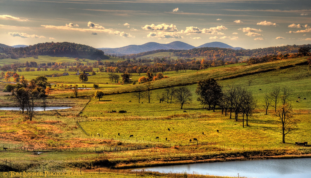
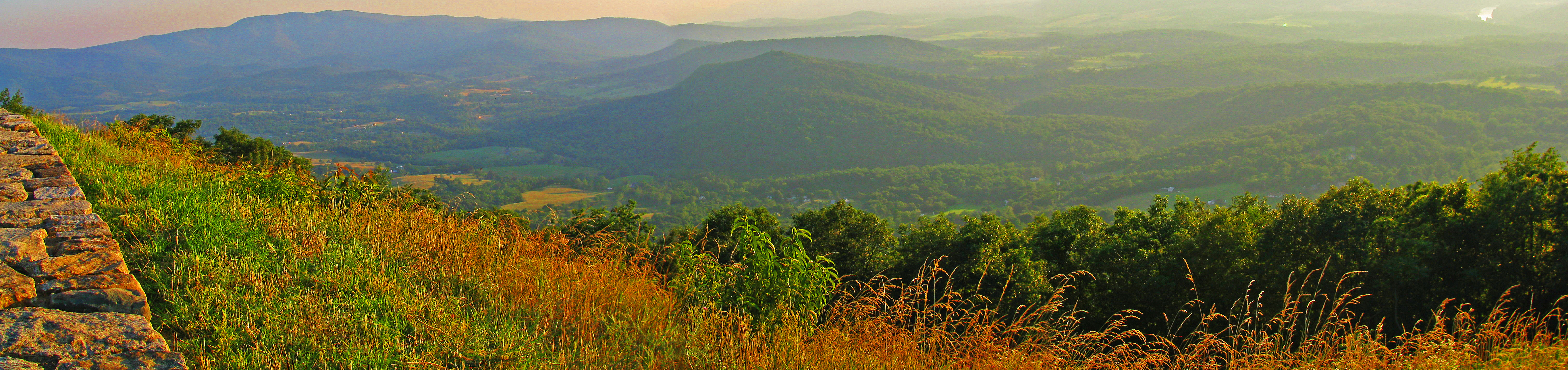
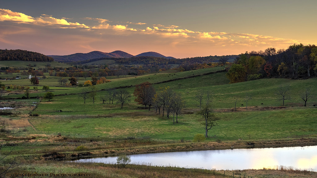
Beams over Shenandoah Valley (DTA_8840)
winter house texture abandoned rural sadness virginia nikon decay linden 11 va shortstory limitededition edgarallanpoe 1839 d60 thefallofthehouseofusher 1of1 flickraward artistedition nikonflickraward flickraward5 blinkagain bestofblinkwinners frontstreetgallerypoulsbo poetober
Left for dead (House of Usher)
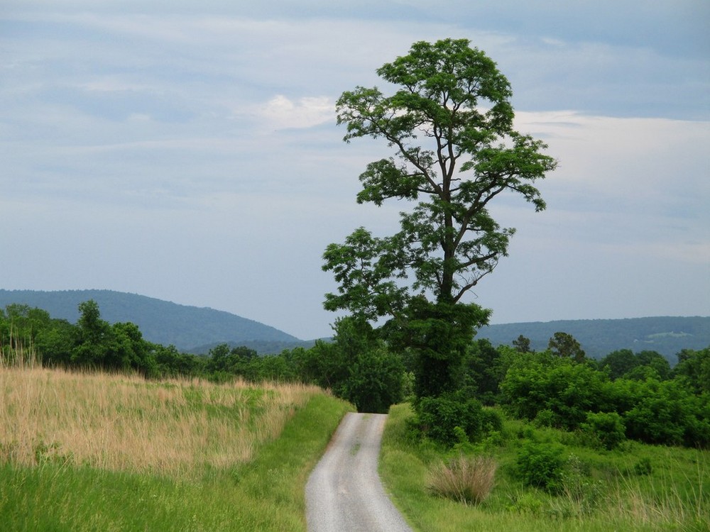
sunset usa tree clouds fence virginia shenandoah longbranch tomlussier landscapespec2013
Hunt Country Lane
virginia ginkgo blandyexperimentalfarm virginiastatearboretum
A view of the Ginkgo Grove at the Virginia State Arboretum
autumn usa mountain tree water clouds barn reflections landscape virginia nikon fallcolor fallcolors historic pastoral tomlussier
Paris Autumn Morning
statepark usa tree water barn fence landscape virginia fallcolor farm fallcolors historic pastoral d700 tomlussier
Sky Meadows Autumn
usa fog clouds virginia unitedstates south northamerica blueridgemountains hdr skylinedrive appalachianmountains shenandoahnationalpark southernunitedstates warrencounty scoreme46 3px northernshenandoahvalley dickeyridge
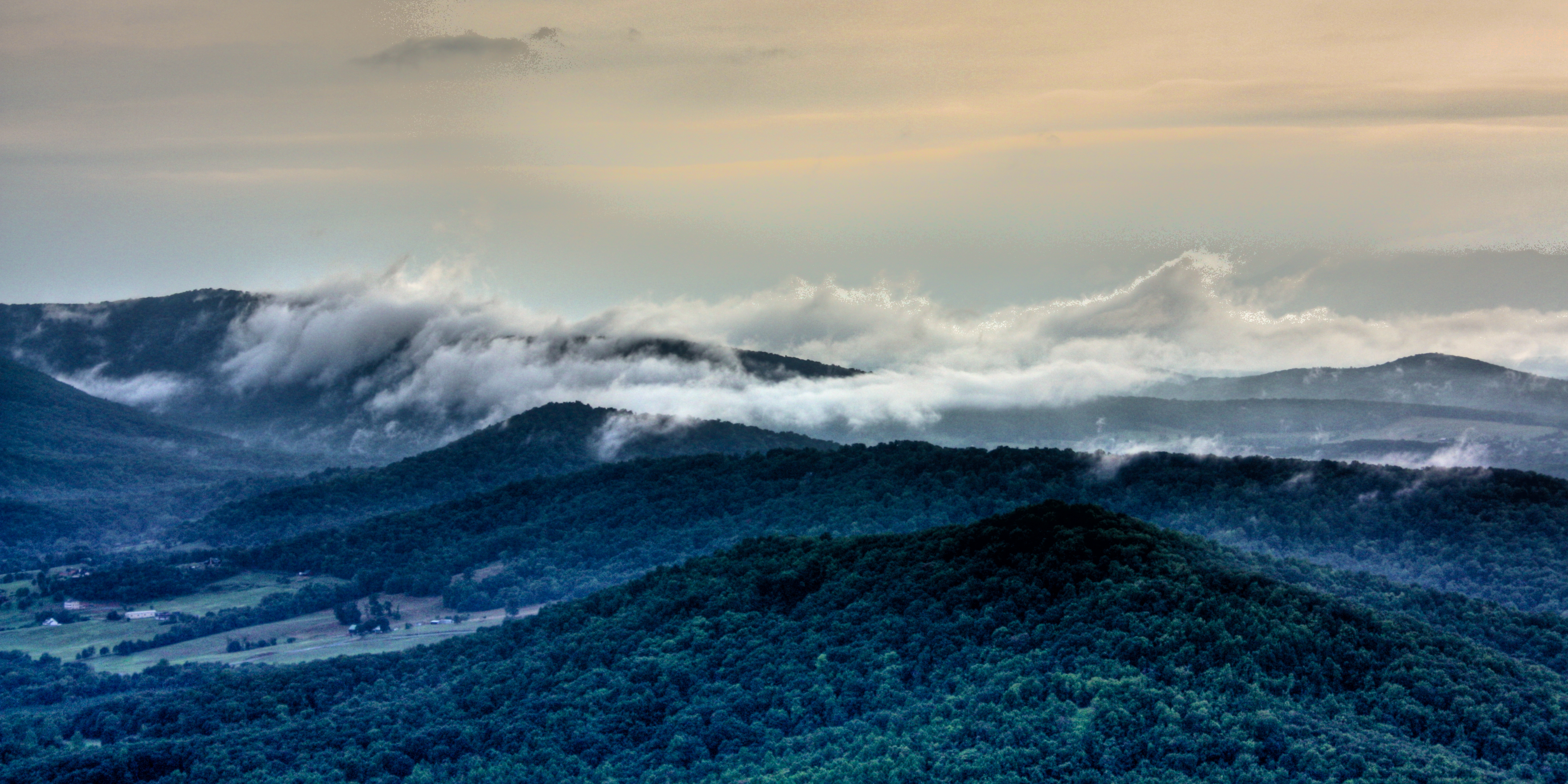
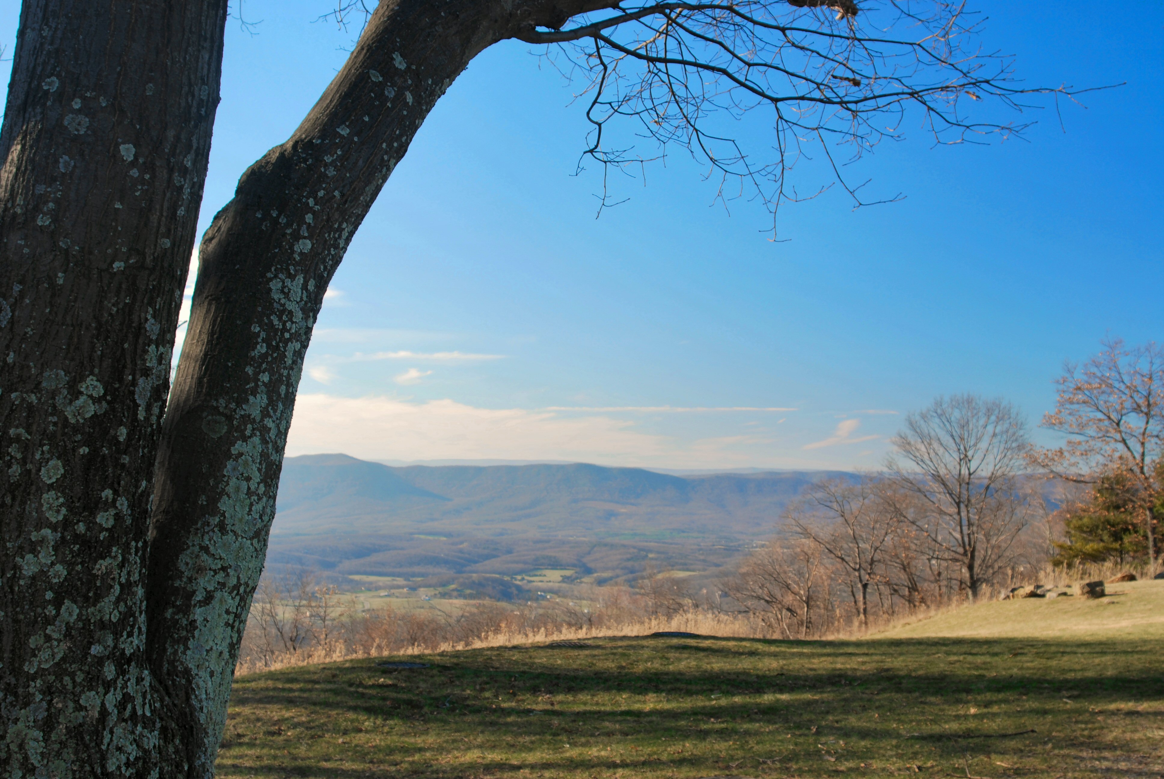
View From Signal Knob Overlook
ovoka paris fauquiercounty virginia unitedstates 1800s antebellum plantation barn silo 2018gardenweek animal civilwar georgewashington
Ovoka Farm, served as HQ in the Civil War, now where the cattle roam
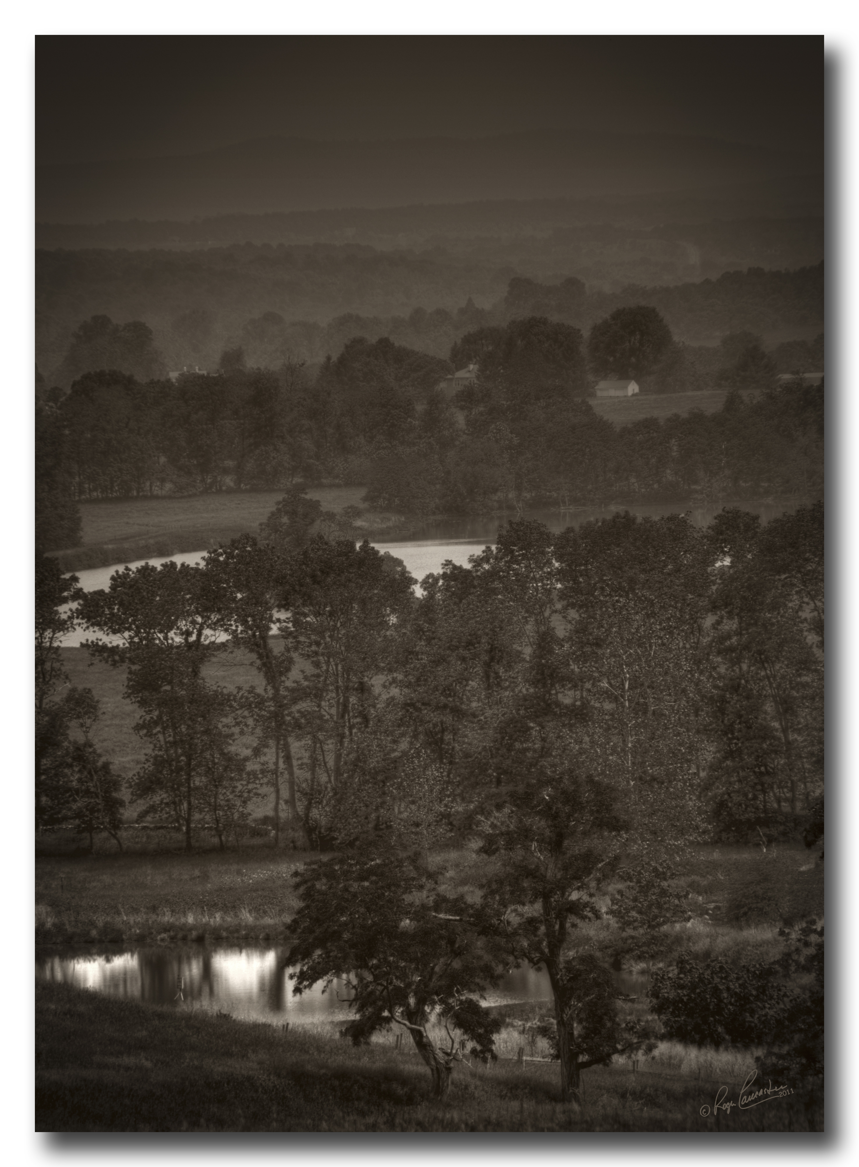
Virginia Hunt Country in B/W...
1800s civilwar battleofupperville upperville loudouncounty virginia unitedstates plantation antebellum 2018gardenweek
Kenilworth, circa 1800, Upperville, VA
1800s civilwar battleofupperville upperville loudouncounty virginia unitedstates plantation antebellum 2018gardenweek
Kenilworth, circa 1800, Upperville, VA
1800s civilwar battleofupperville upperville loudouncounty virginia unitedstates plantation antebellum garden 2018gardenweek
Kenilworth, circa 1800, Upperville, VA
park panorama usa mountains virginia unitedstates south northamerica shenandoahvalley blueridgemountains massanutten shenandoahriver skylinedrive appalachianmountains shenandoahnationalpark longarm southernunitedstates buckmountain warrencounty brushmountain roundmountain hogbackmountain protectedarea 3px matthewsarm massanuttenmountain dickeyridge longmountain northernsection signalknoboverlook gimletridge browntownvalley littlehogbackmountain dickeyhill northernblueridge northernblueridgesubprovince blueridgeprovince
Signal Knob Overlook Panorama
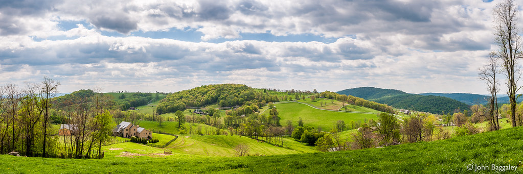
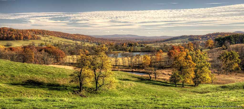
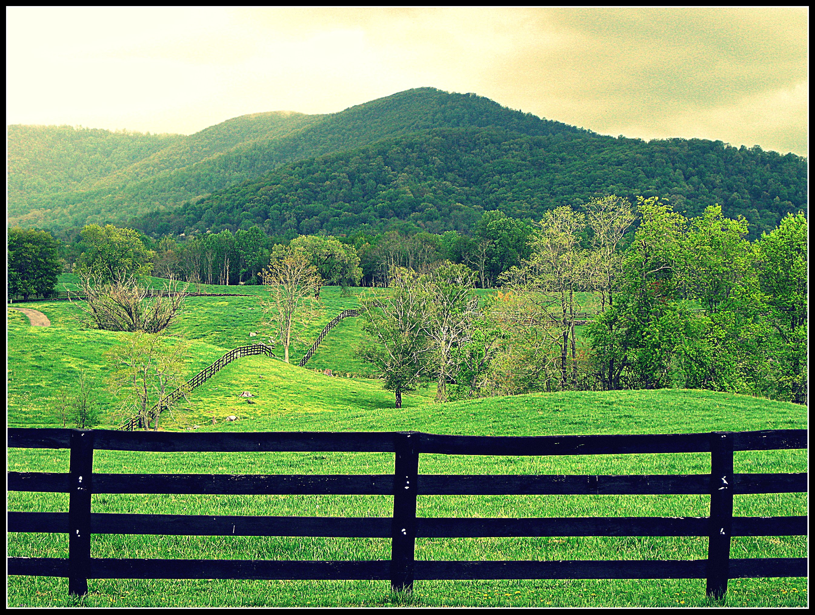
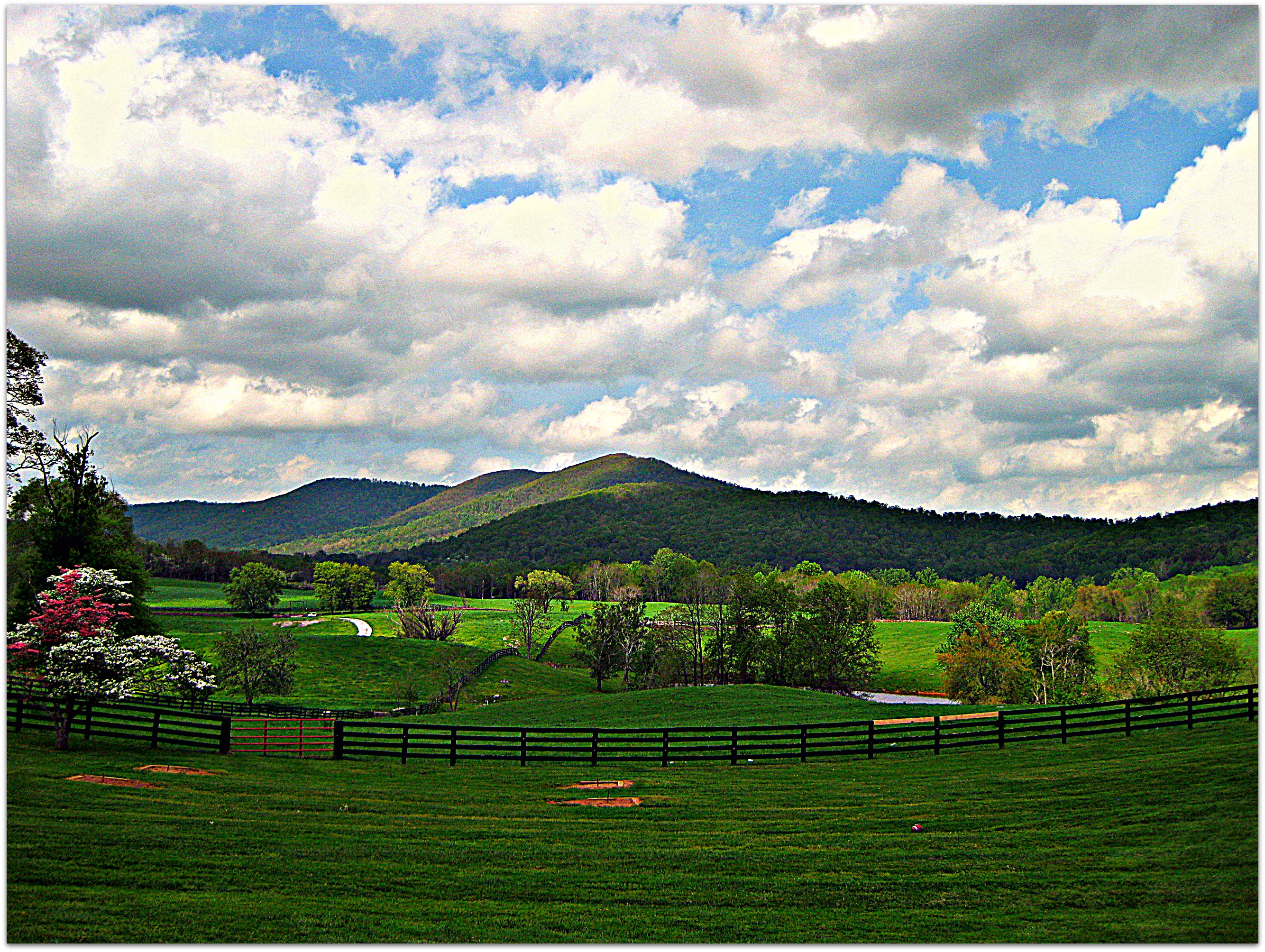
panorama nature landscape outdoors virginia landscapes nikon day outdoor d90 tonemapped afsdxnikkor1685mmf3556gedvr thompsonwma
Pastoral Virginia
marshallvirginia delaplanevirginia glascockgroceryandmiddleeast leedsmanorroad valleyviewfarm crookedrun
Rainy Day Joy Ride
usa butterfly insect virginia va danaus monarchbutterfly danausplexippus clarkecounty blandyexperimentalfarm statearboretumofvirginia taxonomy:binomial=danausplexippus taxonomy:common=monarchbutterfly
Monarch (Butterfly), Virginia
unitedstates us flag burwellmorganmill millwood clarkecounty virginia
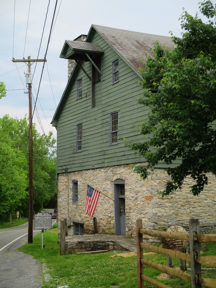
Roadside View of Burwell Morgan Mill
mountains nature landscape virginia nationalpark shenandoah naturescenes shenandoahnationalpark calendarshot specland drewmyers easternnorthamericanature nikond80 drewmyersphotonet
Valle Vista
autumn virginia peaceful lateafternoon skylinedrive shenandoahnationalpark dickeyridge
Dickey Ridge Overlook, Skyline Drive, Shenandoah National Park
path statearboretumofvirginia clarkecounty virginia
The Horizon
skylinedrive shenandoahnationalpark dickeyridge nikond700 michaelbesant nikon1635mm
Skyline Drive Meadow
ranch mountains green nova clouds fence crossprocessed country va land dcist hillside hume northernvirginia marriottranch flipmode79
Sweet Greens : )
tree virginia ginkgo blandyexperimentalfarm virginiastatearboretum groveginkgoginkgo
Ginkgo Grove
nef hdr virginiaarboretum
Long Branch Farm Lane
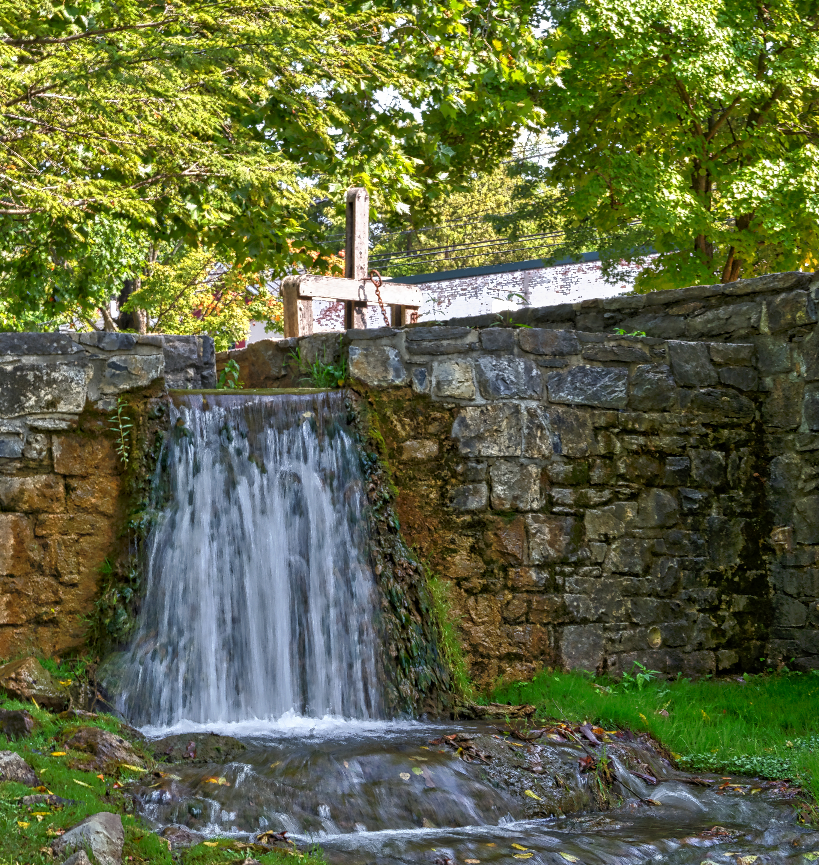
virginia millwood architecturaldetails
Mill Race
road autumn yellow virginia shenandoahnationalpark october2012
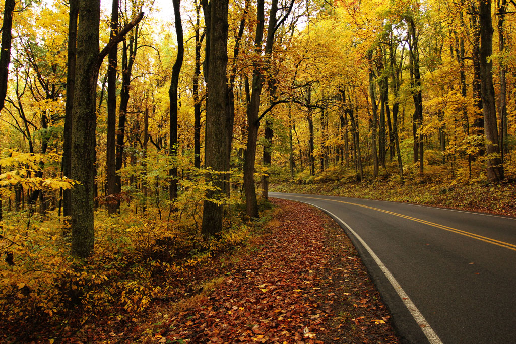
Driving Through Fall
seatonplace lostmountain upperville delaplane paris fauquiercounty virginia unitedstates landscape
Pond at Seaton Place (1)
summer tree green goldenhour blandy statearboretumofvirginia
The tree in summer
landscape botanical virginia nikon fallcolors hdr d300
Yellow Ginkgo Show
sunset usa house mountain paris tree water barn landscape virginia nikon fallcolor cattle farm fallcolors historic pastoral blueridge pec d700 tomlussier landscapespec2014
Paris Twilight
square squareformat iphoneography instagramapp uploaded:by=instagram
“I will grow. I will become something new and grand, but no grander than I now am. Just as the sky will be different in a few hours, its present perfection and completeness is not deficient.”- Wayne Dyer... Revisiting some of my older work, this was 2007
seatonplace lostmountain upperville delaplane paris fauquiercounty virginia unitedstates landscape
Backyard of Seaton Place
ranch mountains green nova clouds fence country va land dcist hillside hume northernvirginia marriottranch flipmode79
Away from the Hustle & Bustle
peaceplenty bollingbrook delaplane upperville fauquiercounty virginia unitedstates 1700s 1800s plantation antebellum church slavechurch 2018gardenweek
Slave Chapel at Bollingbrook