Elevation of High Range NSW, Australia
Location: Australia > New South Wales > Wingecarribee Shire Council >
Longitude: 150.3
Latitude: -34.366667
Elevation: 716m / 2349feet
Barometric Pressure: 93KPa
Elevation Map:
Satellite Map:
Related Photos:
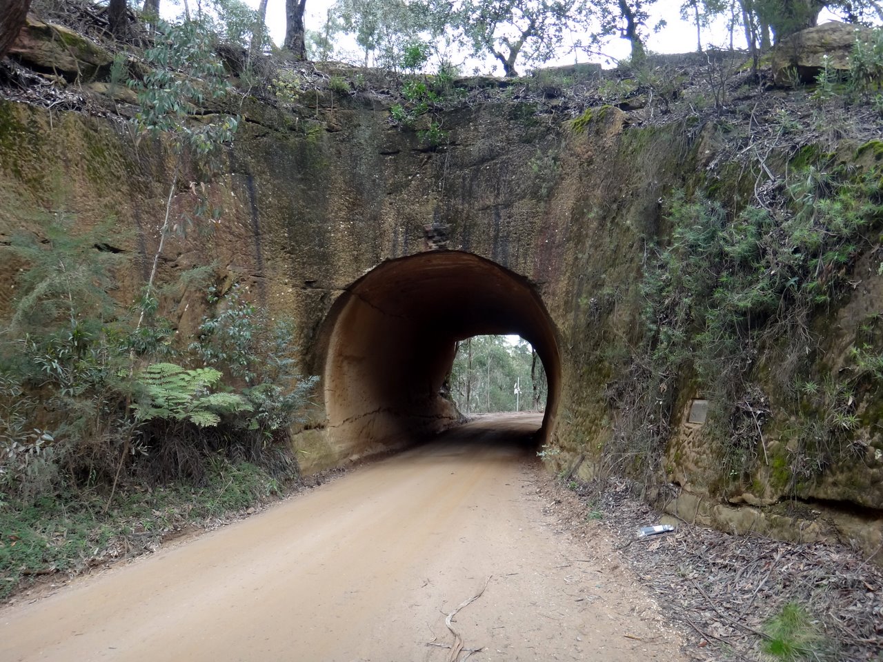
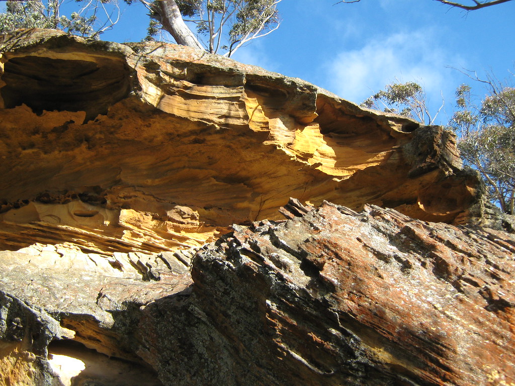
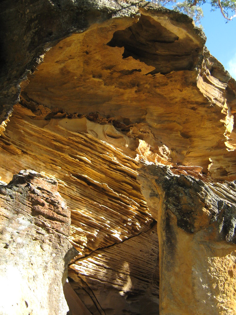
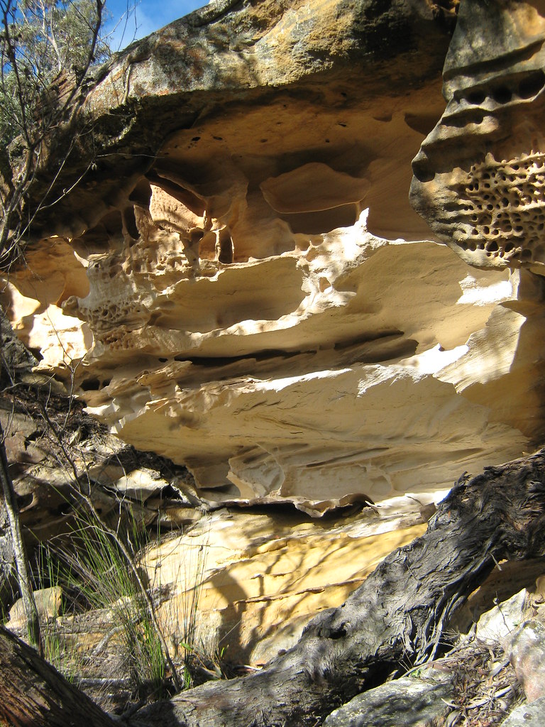
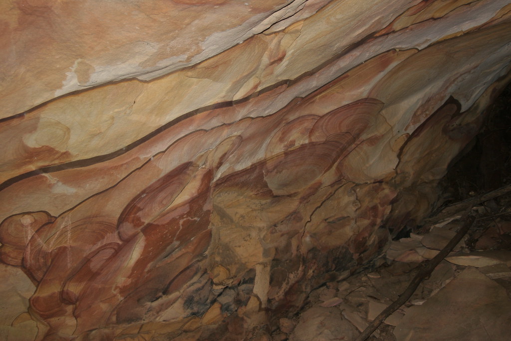
Sandstone tunnel on Wombeyan Caves Road, viewed from eastern side
Nattai National Park
Old Hume Highway, Berrima
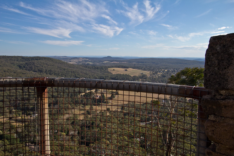
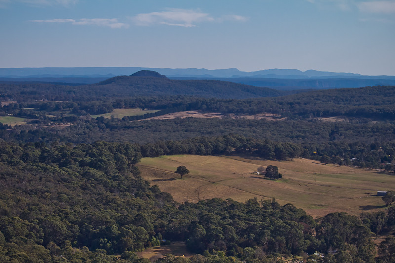
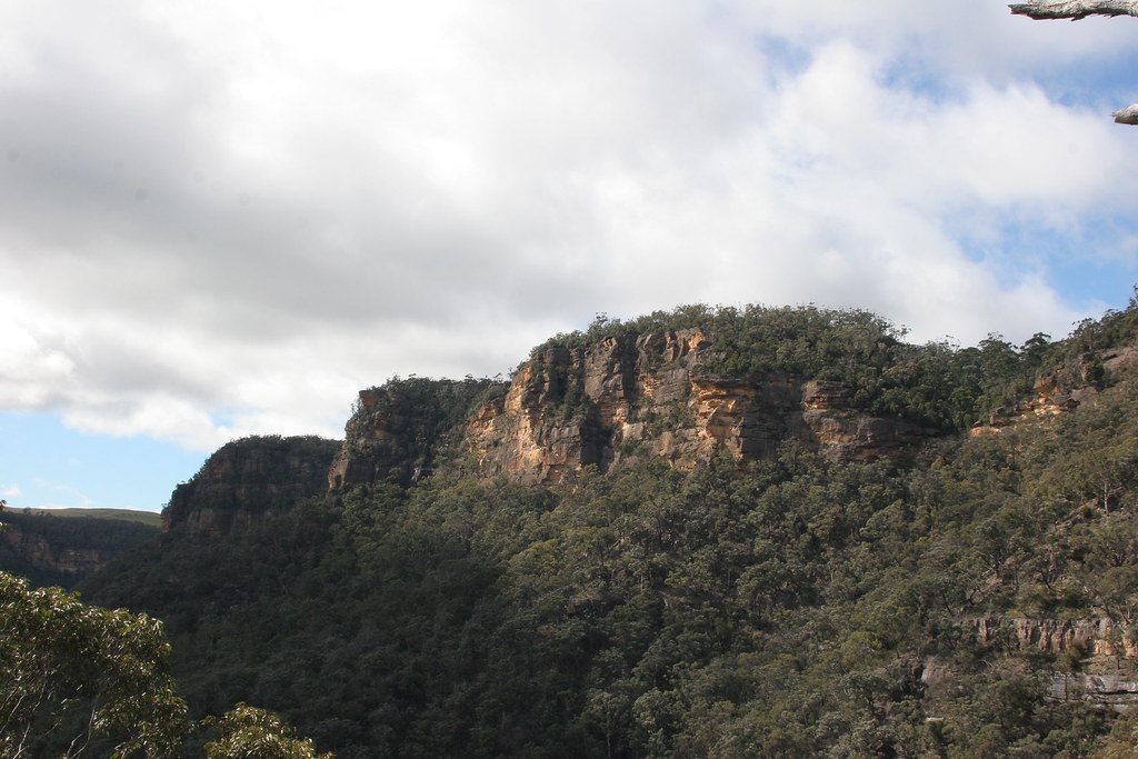
View from Mt Gibraltar-1
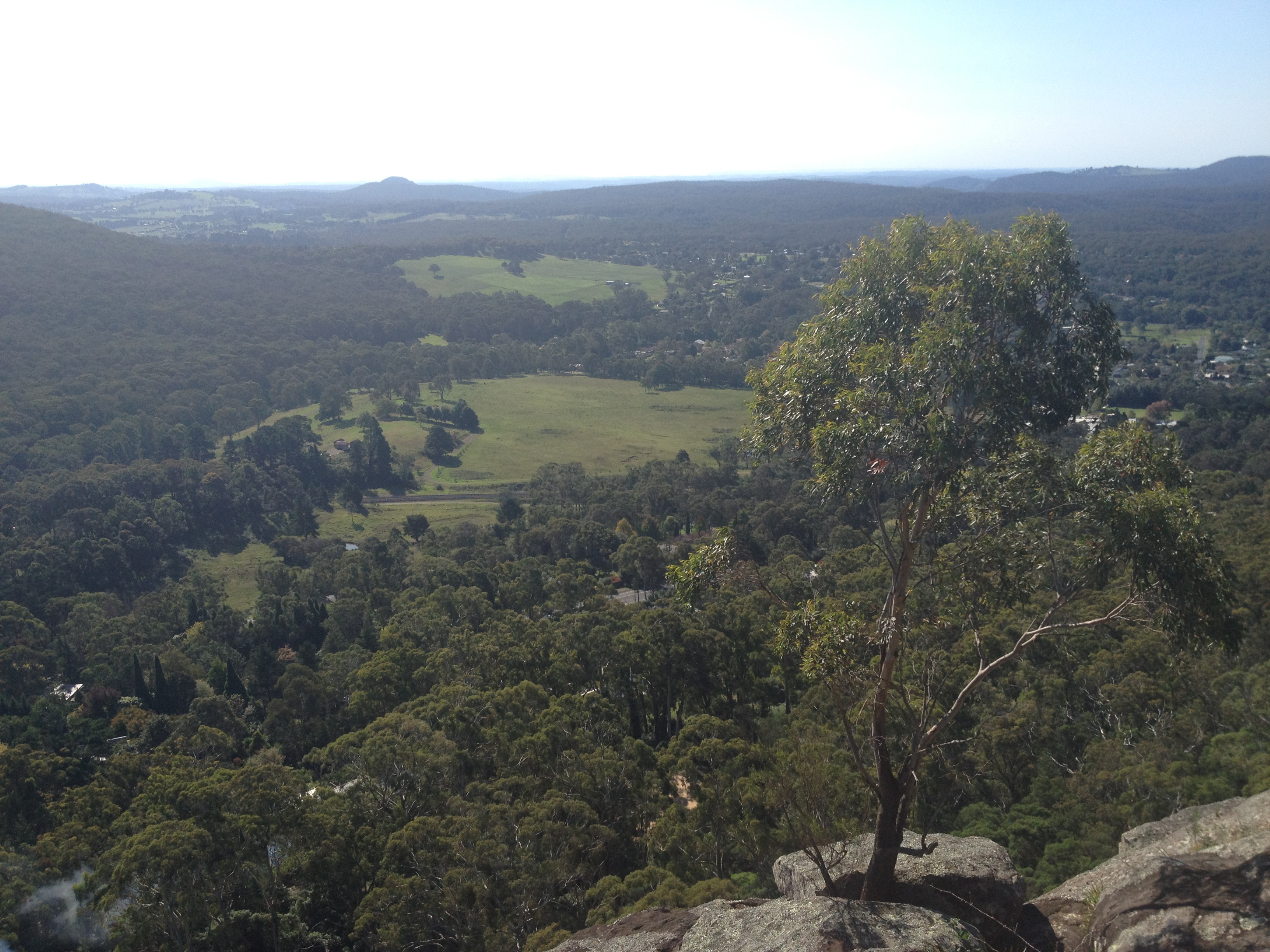
View from Mt Gibraltar-2
120420-1352.39__Mt. Alexandra Reserve
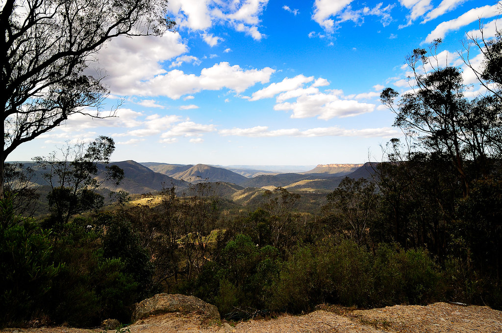
The view from Jellore Lookout
Backyard view - Braegela Manor (Bowral, Australia)
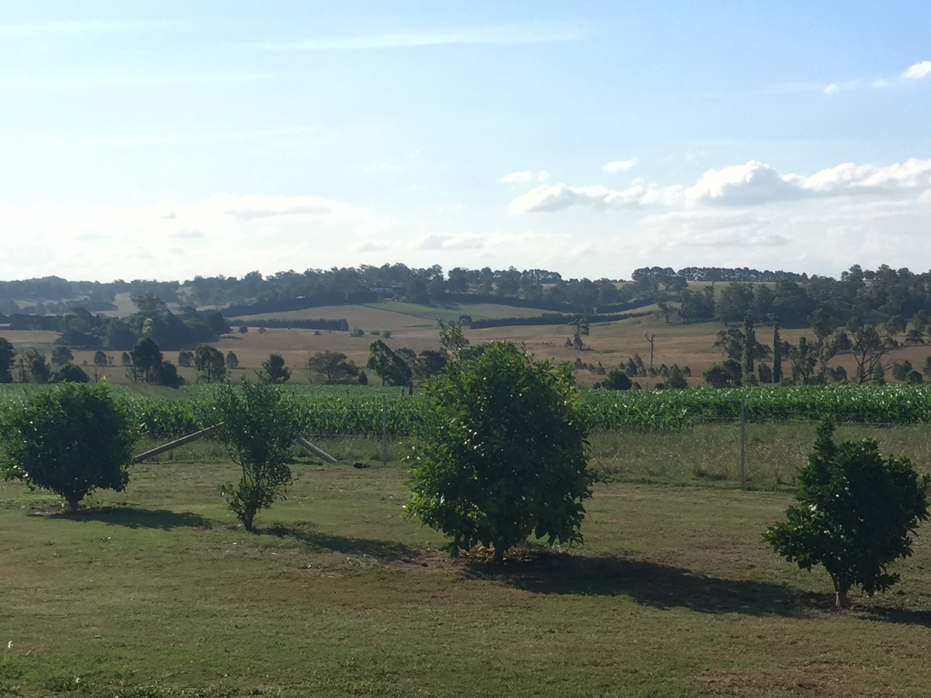
Backyard view - Braegela Manor (Bowral, Australia)
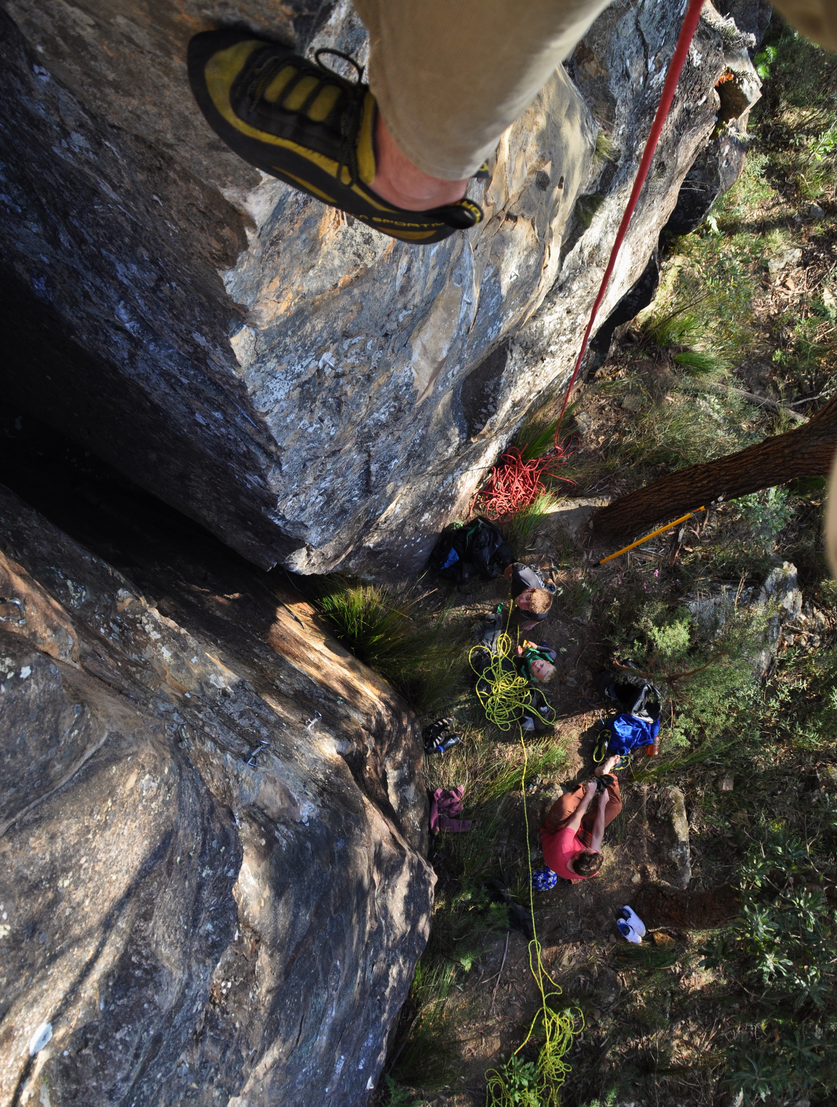
Dads Crag 2016 - The Eiger Sanction

Wine Barrel

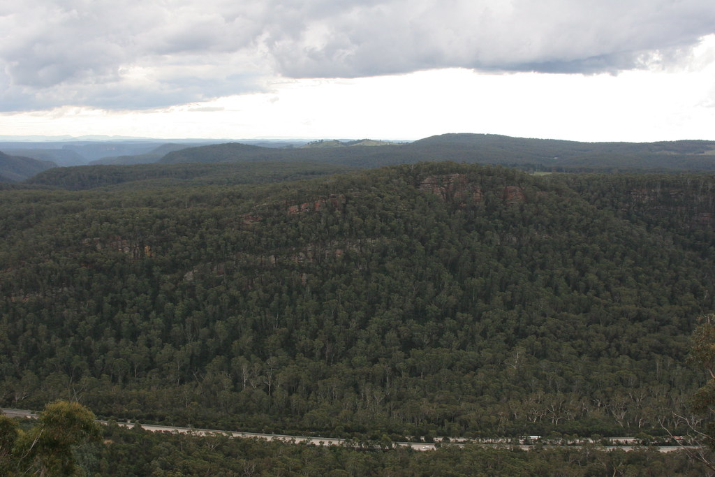
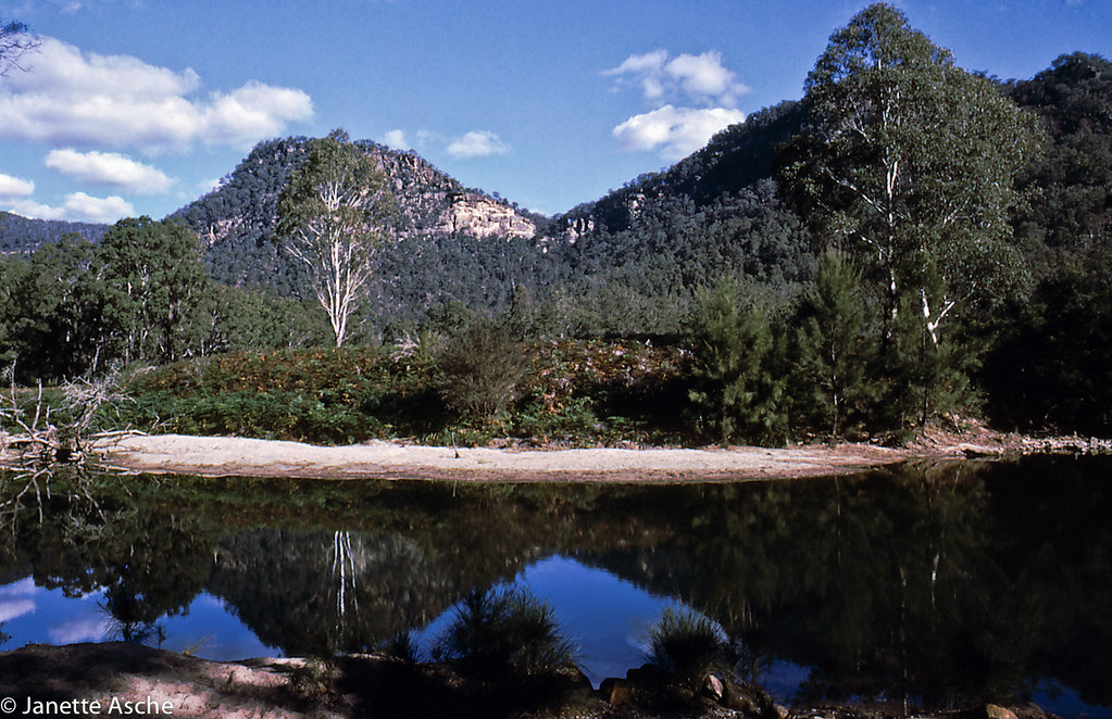
Nattai National Park - Wollondilly Lookout
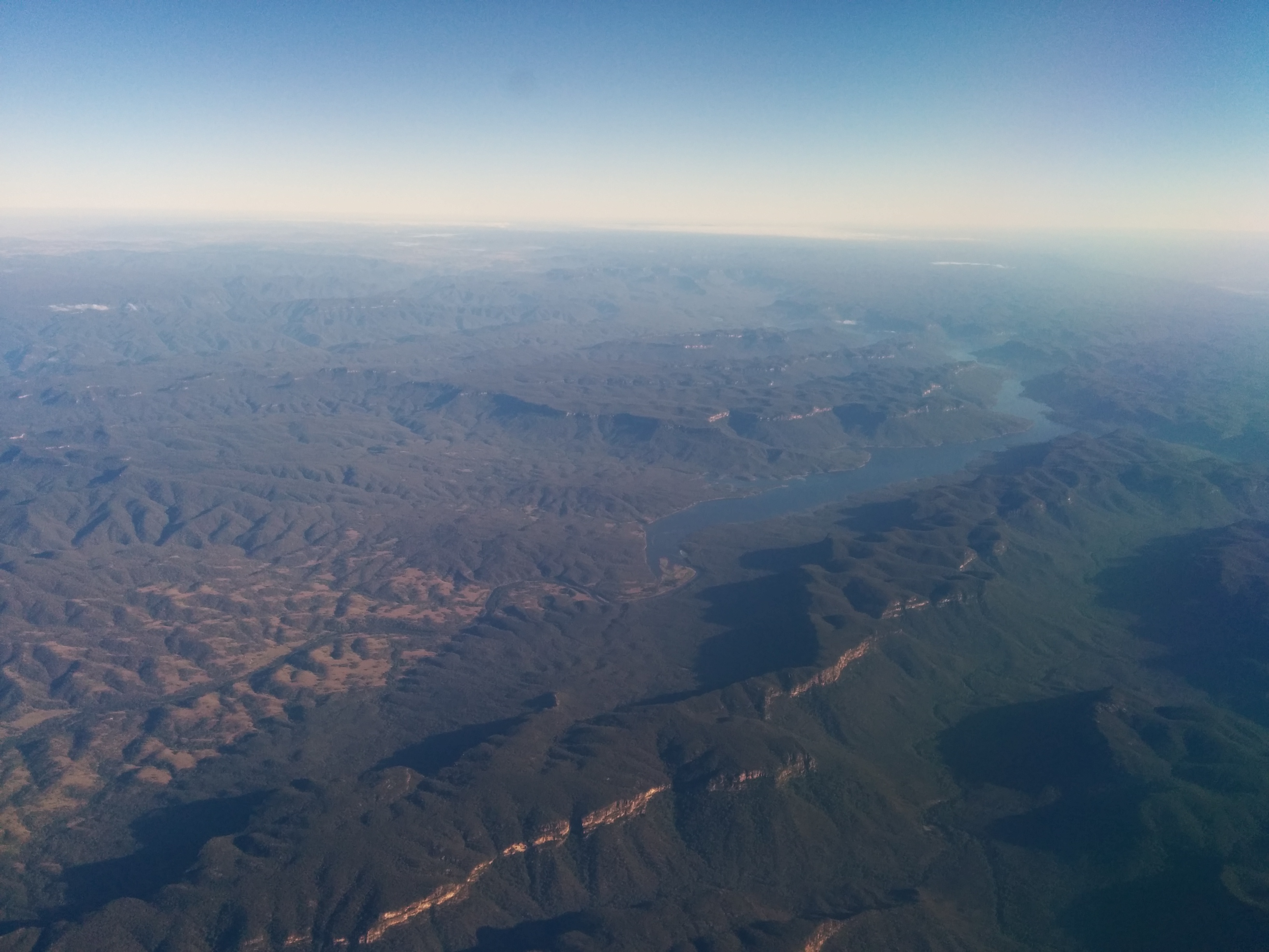
snowy river country

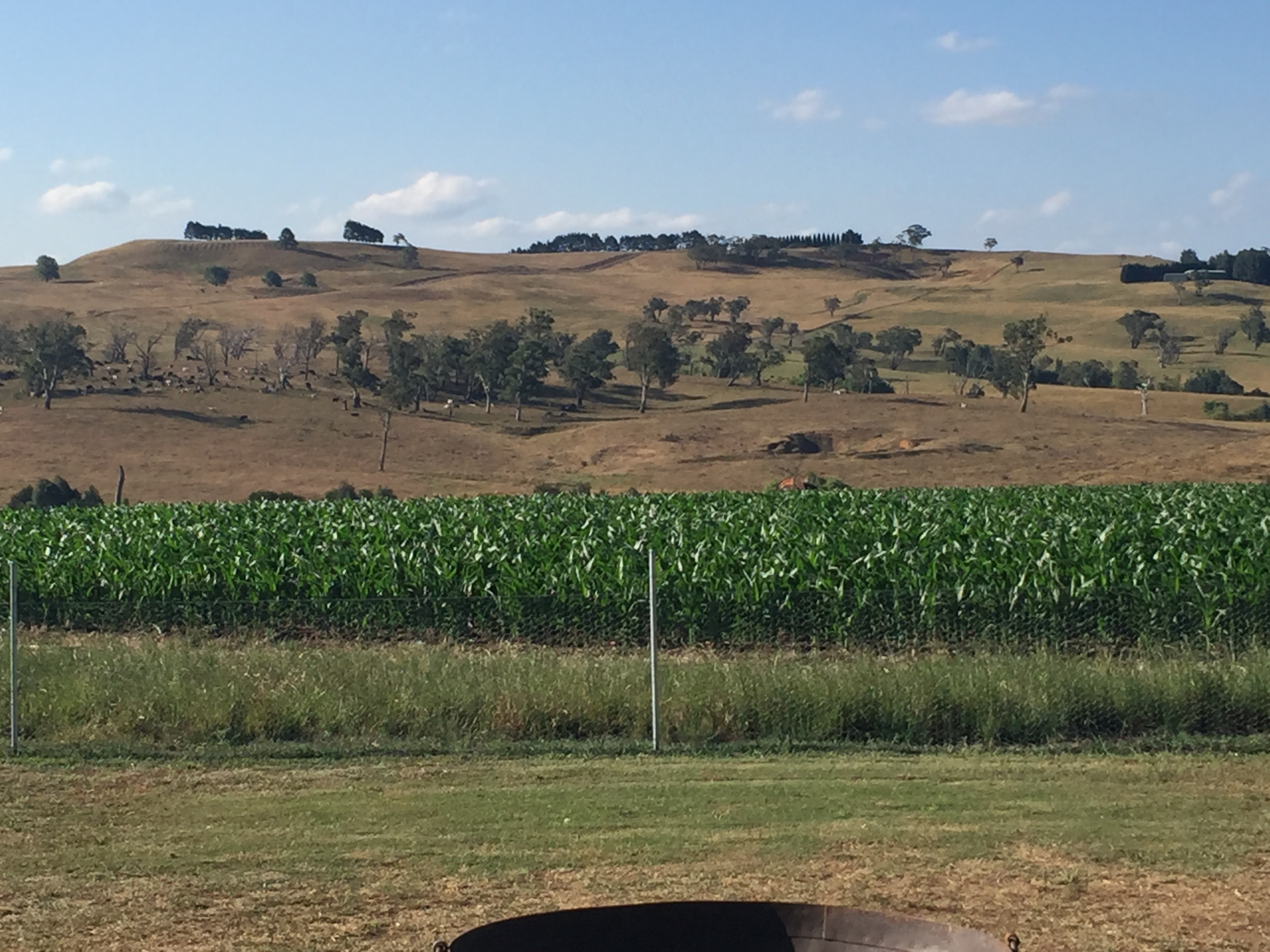
Joadja NSW-00434
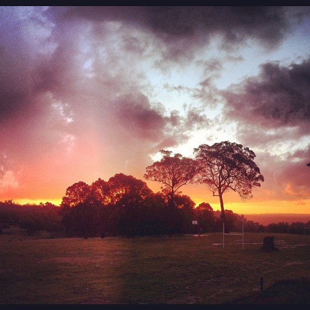
Attunga sunset... Just lovely!
120701-1407.18__Joadja Nature Reserve Bushwalk
Berrima NSW - shot on Ilford FP4 Plus
McArthur's Flat, 1980

Sniff.
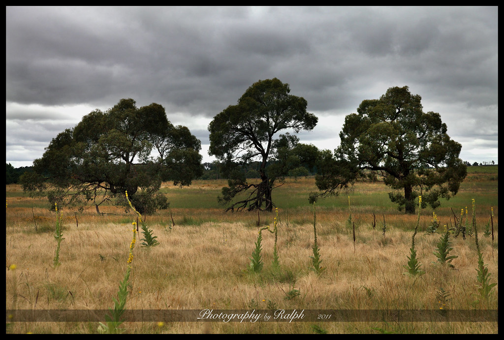
Three Trees
120727-1144.34__New path into Claude Lee Pass

Nattai National Park - Wollondilly Lookout

Nattai National Park - Wollondilly Lookout
120701-1407.57__Joadja Nature Reserve Bushwalk

Nattai National Park - Wollondilly Lookout
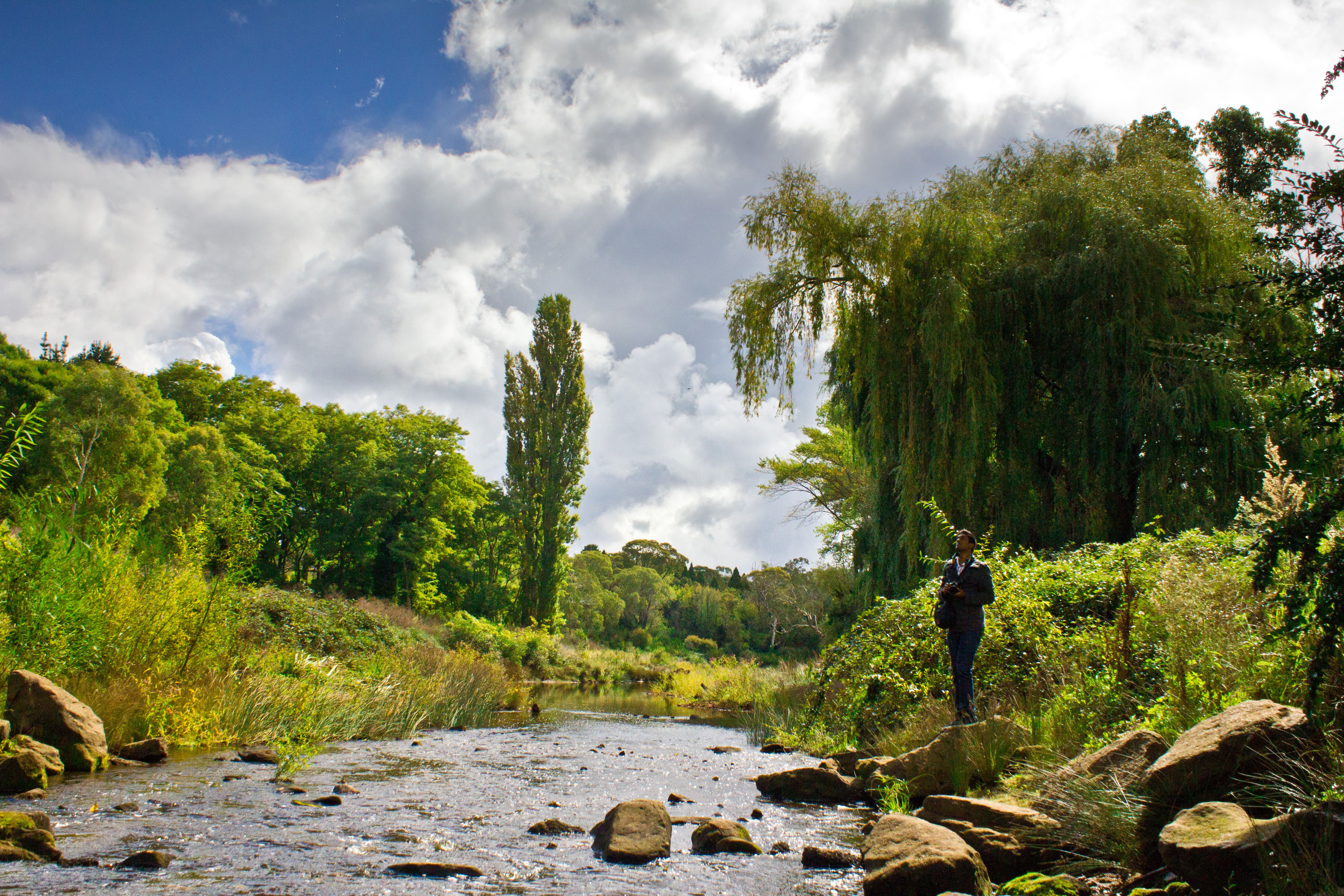
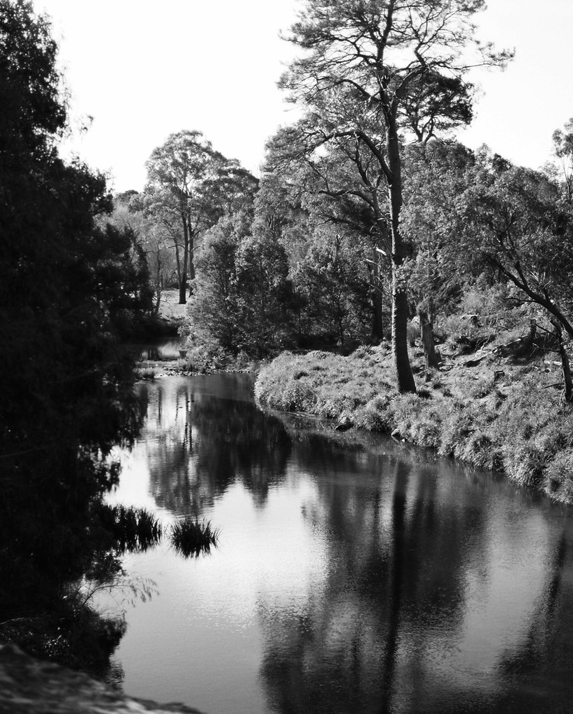
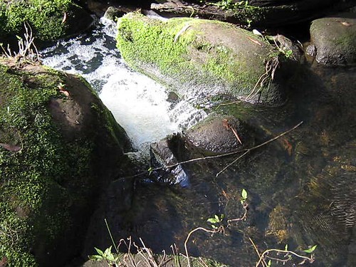
Wingecarribee River
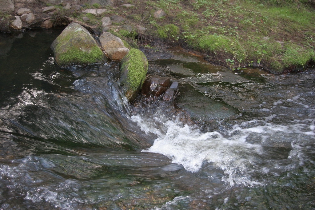
120512-1454.23__Hidden Creek, Colo Vale
120701-1406.16__Joadja Nature Reserve Bushwalk
120425-1010.11__Missing Dragon search
120727-1219.37__New path into Claude Lee Pass

Nattai National Park - Wollondilly Lookout
Topographic Map of High Range NSW, Australia
Find elevation by address:

Places near High Range NSW, Australia:
291 Wombeyan Caves Rd
Woodlands
134 Kells Creek Rd
Berrima Reserve
Berrima
Wattle Ridge
Wattle Ridge Farm
Mount Gibraltar
Mount Gibraltar Reserve
14 Victoria St
20 Huxley St
Bowral
Bowral Lookout
204 Oxley Dr
189 Oxley Dr
71 Oxley Dr
71 Oxley Dr
Mittagong
Belanglo State Forests
Wingecarribee Shire Council
Recent Searches:
- Elevation of Corso Fratelli Cairoli, 35, Macerata MC, Italy
- Elevation of Tallevast Rd, Sarasota, FL, USA
- Elevation of 4th St E, Sonoma, CA, USA
- Elevation of Black Hollow Rd, Pennsdale, PA, USA
- Elevation of Oakland Ave, Williamsport, PA, USA
- Elevation of Pedrógão Grande, Portugal
- Elevation of Klee Dr, Martinsburg, WV, USA
- Elevation of Via Roma, Pieranica CR, Italy
- Elevation of Tavkvetili Mountain, Georgia
- Elevation of Hartfords Bluff Cir, Mt Pleasant, SC, USA