Elevation of High Dr SE, Cedar Rapids, IA, USA

Location: United States > Iowa > Linn County > Cedar Rapids > Cedar Valley >

Longitude: -91.633349

Latitude: 41.962372

Elevation: 256m / 840feet

Barometric Pressure: 98KPa

Elevation Map:

elevation map of High Dr SE, Cedar Rapids, IA, USA
Satellite Map:

Satellite map of High Dr SE, Cedar Rapids, IA, USA
Related Photos:

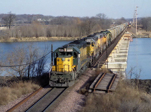
train rail iowa transportation hawkeye
So Last Century
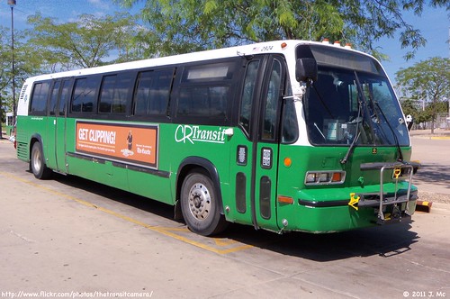
bus rapids cedar transit service crt2924
Cedar Rapids Transit 2924
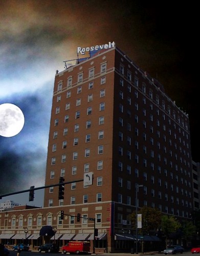
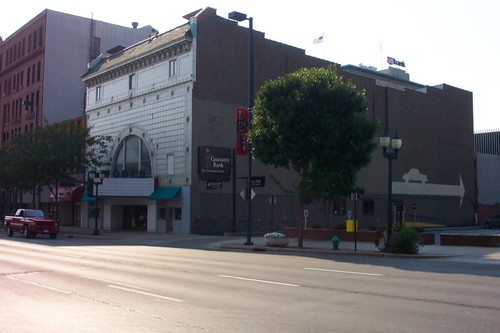
moon texture sign architecture night hotel italian downtown neon apartments view style iowa roosevelt historic rapids cedar ia scaffold historical register architects lofts reuse dato revival adaptive nrhp krenn onasill attractionsite
Hotel Roosevelt ~ Cedar Rapids Iowa ~ Historical Hotel
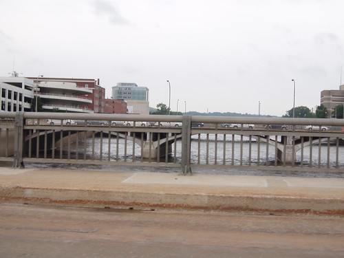
neighborhood flood2008
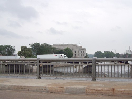
View from 1st Ave bridge East
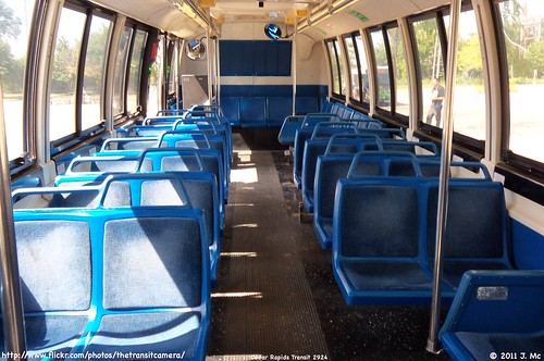
bus rapids cedar transit service crt2924
Cedar Rapids Transit 2924 Interior
train rail iowa transportation hawkeye
The North Western
boy male bicycle sport outdoors bmx sony iowa sp di 70300mm tamron vc usd iowagames f456 a65 views200 views400 iowagames2013
Iowa Games 2013 BMX
Scattered view.
backyard iowa 2013 365project
January 30th
trees sunset sky beautiful fire sillouette fruity d40
Tuti Fruity Sky
path iowa
0515 starting path
from truck office funny view pop delivery soda walgreens
Soda Delivery Day
world house cinema strand movie theater theatre historic rapids entertainment cedar ia historical register venue nrhp onasill attractionsite
World Theatre ~ Cedar Rapids, IA
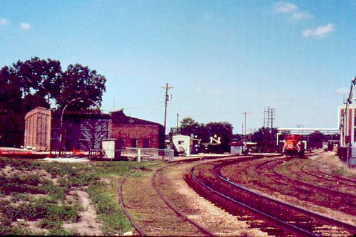
railroad iowa canadiannational cedarrapids illinoiscentral
Illinois Central Freight House, Cedar Rapids, IA. 6/2000.
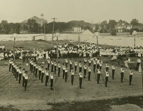
gymnastics gymnasts ethniccelebrations cedarrapidsiowa sokols drillteams athleticclubs bohemianamericans czechoslovakianamericans fieldmeets
2003.17.1
spring downtown cedarrapids cedarriver smcpentaxda1855mmf3556al
Now from a new view!
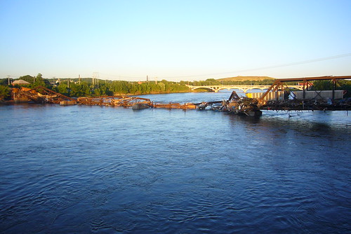
railroad bridge flood rapids cedar collapsed
Collapsed Railroad Bridge
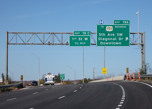
interchange clearview cedarrapids linncounty bgs i380 5thavenuesw ia27 avenueofthesaints businessus151 diagonaldrive
Northbound I-380 exit 19A
neighborhood flood2008
View from 1st Ave bridge West
csps theviewfromhere brianwebb melandringa legionarts lartists
Brian Webb
melandringa legionarts
Hidden from View
autumn fall forest canon bench gold october fallcolor iowa fallfoliage mountvernon palisadespark t3i goldenleaves goldleaves autumnforest mountvernoniowa palisadeskeplerstatepark autumnbench linncountyiowa
Have a seat in Autumn
winter cold river landscape frozen nikon industrial factory cloudy smoke iowa hdr cedarrapids cedarriver d7000 clubd7000
19/365
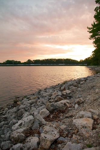
sunset water day cloudy cedarlake cedarrapids smcpentaxda1855mmf3556al
Sunset at Cedar Lake
Tupelo (2)
park jones rapids cedar hdr cedarrapids jonespark
Jones Side Hill
trees sky storm weather silhouette clouds danger dark landscape unitedstates bright horizon iowa marion thunderstorm lightning thunder feature cedarrapids dmrfeature
Electric Horizon
canoneos20d songbirds indiancreekwoods
April 15 2007 025
Yellow & Blue.
park jones rapids cedar hdr cedarrapids jonespark
Sun peeking out
sunset cloud water cedarrapids smcpentaxda1855mmf3556al
Sunset in pink
6-22 colorful
canoneos20d indiancreekwoods
May 17 2007 023
canoneos20d indiancreekwoods
Aug 5 2006 013
square squareformat iphoneography instagramapp uploaded:by=instagram
#goodmorningiowa heading back to the 413 now.
canoneos20d songbirds indiancreekwoods
April 15 2007 027
square sierra squareformat iphoneography instagramapp uploaded:by=instagram foursquare:venue=4b75ff87f964a5206d352ee3
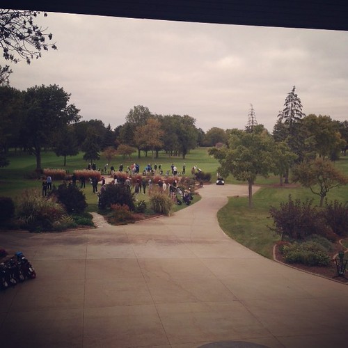
Benjamin is on the far right of the driving range getting ready for the 1st round of the 2015 Iowa State High School Golf Tournament. #muskienation #elmcrestgolf @elmcrestcc
Horses in the Pasture (8)
valencia square squareformat iphoneography instagramapp uploaded:by=instagram foursquare:venue=4dbde6da43a1d8504bb1fa8d
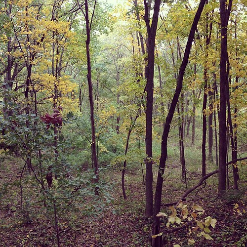
First fall hike.
canoneos20d songbirds indiancreekwoods
April 15 2007 026
Hiawatha silhouette
canoneos20d deer indiancreekwoods
Sept 5 2006 007