Elevation of Heudicourt, France

Location: France > Normandy > Eure >

Longitude: 1.661526

Latitude: 49.335296

Elevation: 116m / 381feet

Barometric Pressure: 100KPa

Elevation Map:

elevation map of Heudicourt, France

Satellite Map:

Satellite map of Heudicourt, France

Related Photos:

angel ange trumpet normandie horn bagpipes harp cor trompette harpe cornemuse gervaise musette gisors marinetrumpet angemusicien protaise trompettemarine mmiia
Gisors, Normandie, église St.-Gervaise et St.-Protaise, border with angel musicians
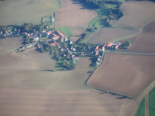
roof red france field airplane village aerialview 2008
French Village
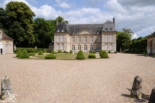
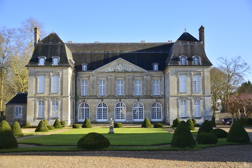
CHATEAU DE BOURY
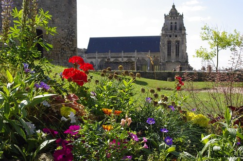
park church flowerfrancenormandiecastlegisorstemplarsbuildingfortress
View from the park of the castle of Gisors
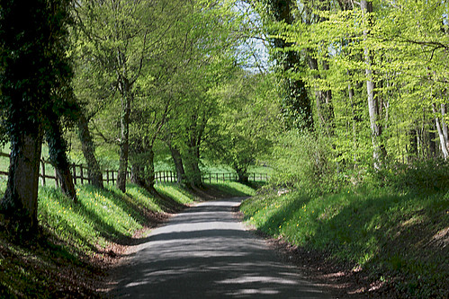
PPL 18 : ombres , dans la hetraie.
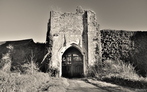
voyage trip travel panorama holiday france landscape ruins holidays ruin ruine normandie paysage 27 normandy château castel williamtheconqueror eure traveler guillaumeleconquérant moyenage hautenormandie vieillepierre eure27 châteauféodal paysagedefrance valléedelepte paysagenormand châteaudefrance guillaumeleroux départementdeleure châteausurepte normandylandscape châteaunormand mottecastrale paysagedenormandie pontfire châteauennormandie guillaumeiidangleterre communedeleure williamiiofengland
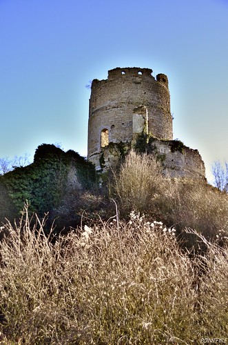
Château-sur-Epte
france normandy eure lisors
Faithful reflections
square squareformat normal iphoneography instagramapp uploaded:by=instagram
So #strange #green #french #countryside
light boy sky blackandwhite bw blur france art blancoynegro field clouds square landscape grey countryside europe alone dof noiretblanc empty wheat nb ciel squareformat fujifilm lonely nuages paysage arbre flou champ garçon greyscale carré seul lonelyness blé formatcarré fujifilmxpro1
...
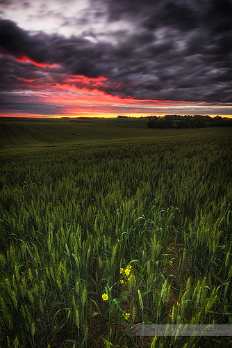
light en france color nature field electric canon de landscape geotagged eos evening photo wheat picture pole explore wires lumiere electricity 5d poles poteau paysage soir pays bray champ picardie fils poteaux électrique blé wheatfield 24105 électriques oise picardy canoneos5d canonef24105mmf4lisusm puiseux puiseuxenbray davidrombaut geo:lat=49417458 geo:lon=1786405 davidrombauttimeline
France > Oise
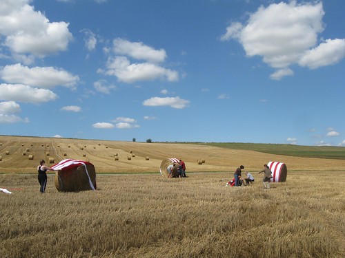
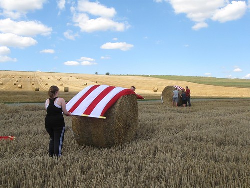
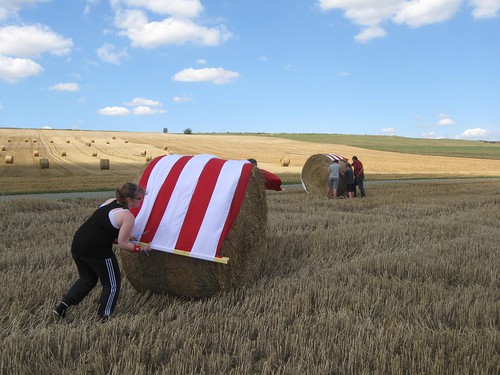
viking_landart_july30-2011 048
Evacuation des vikings
voyage trip travel holiday france landscape holidays paysage château castel traveler vieillepierre monumenthistorique juleshardouinmansart bouryenvexin châteaudefrance l’oise pontfire châteaudeboury départementdel’oise
Château de Boury
authevernes
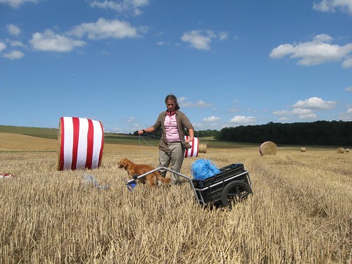
viking_landart_july30-2011 055
voyage trip travel panorama holiday france landscape ruins holidays ruin ruine normandie paysage 27 normandy château castel williamtheconqueror eure traveler guillaumeleconquérant moyenage hautenormandie vieillepierre eure27 châteauféodal paysagedefrance valléedelepte paysagenormand châteaudefrance guillaumeleroux départementdeleure châteausurepte normandylandscape châteaunormand mottecastrale paysagedenormandie pontfire châteauennormandie guillaumeiidangleterre communedeleure williamiiofengland
Château-sur-Epte
London to Paris Cycle
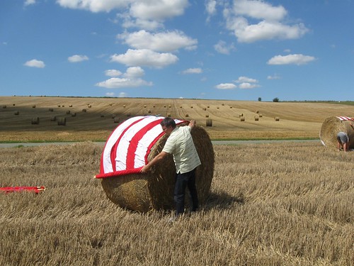
viking_landart_july30-2011 054
authevernes
viking_landart_july30-2011 063
Hell is back on earth
resedaluteola resedacées
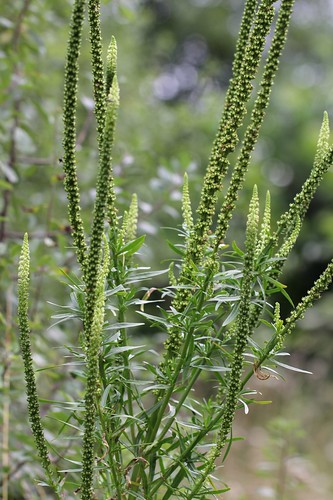
Réséda jaunâtre (Reseda luteola)
lesna
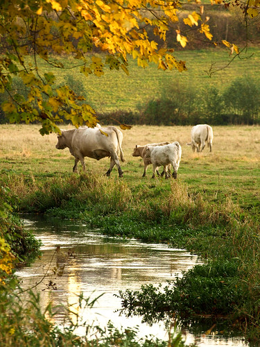
cows :)
canon eos 1100d
Ça Penche
voyage trip travel panorama holiday france landscape ruins holidays ruin ruine normandie paysage 27 normandy château castel williamtheconqueror eure traveler guillaumeleconquérant moyenage hautenormandie vieillepierre eure27 châteauféodal paysagedefrance valléedelepte paysagenormand châteaudefrance guillaumeleroux départementdeleure châteausurepte normandylandscape châteaunormand mottecastrale paysagedenormandie pontfire châteauennormandie guillaumeiidangleterre communedeleure williamiiofengland
Château-sur-Epte
viking_landart_july30-2011 053
viking_landart_july30-2011 049