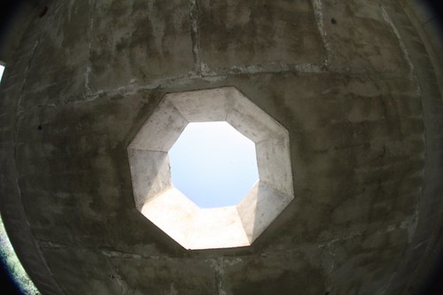
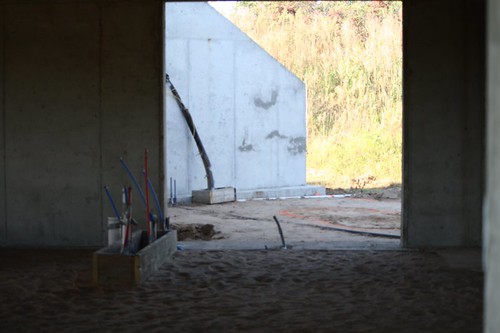
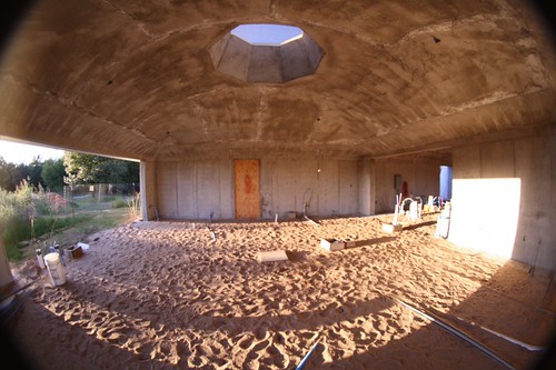
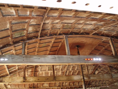
Elevation of Herrick Rd, Okmulgee, OK, USA
Location: United States > Oklahoma > Okmulgee County >
Longitude: -95.845406
Latitude: 35.725797
Elevation: 220m / 722feet
Barometric Pressure: 99KPa
Related Photos:
Topographic Map of Herrick Rd, Okmulgee, OK, USA
Find elevation by address:

Places near Herrick Rd, Okmulgee, OK, USA:
14444 E 205th St S
Okmulgee County
Okmulgee County
Okmulgee
S Wood Dr, Okmulgee, OK, USA
13417 E 191st St S
15607 E 184th Street South
18517 S Sheridan Rd
17275 S 90th E Ave
17233 S 92nd E Ave
25487 East 191st St S
25487 E0780 Rd
17233 S 90th E Ave
Haskell
E th St S, Leonard, OK, USA
Leonard
225 W
Boynton
6360 E 164th St S
East 201st South
Recent Searches:
- Elevation of Corso Fratelli Cairoli, 35, Macerata MC, Italy
- Elevation of Tallevast Rd, Sarasota, FL, USA
- Elevation of 4th St E, Sonoma, CA, USA
- Elevation of Black Hollow Rd, Pennsdale, PA, USA
- Elevation of Oakland Ave, Williamsport, PA, USA
- Elevation of Pedrógão Grande, Portugal
- Elevation of Klee Dr, Martinsburg, WV, USA
- Elevation of Via Roma, Pieranica CR, Italy
- Elevation of Tavkvetili Mountain, Georgia
- Elevation of Hartfords Bluff Cir, Mt Pleasant, SC, USA


