Elevation of Hebard Hill Rd, Randolph, VT, USA
Location: United States > Vermont > Orange County > Randolph >
Longitude: -72.633126
Latitude: 43.9526308
Elevation: 365m / 1198feet
Barometric Pressure: 97KPa
Elevation Map:
Satellite Map:
Related Photos:

Main Street postcard 1907
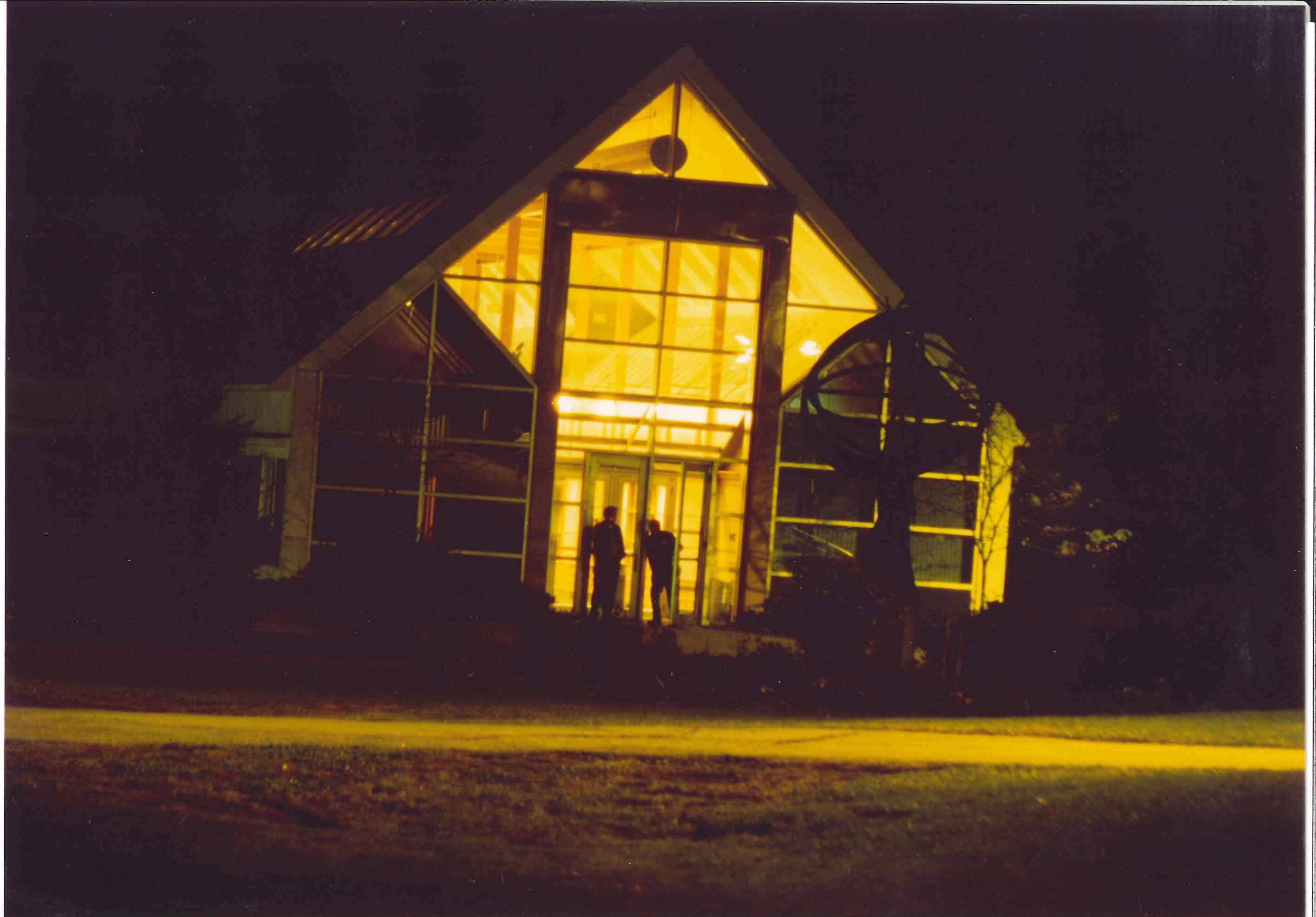
VTC Admin bdlg South Entr at night

VSA 1940's Dormitory

VATI Campus late1950's
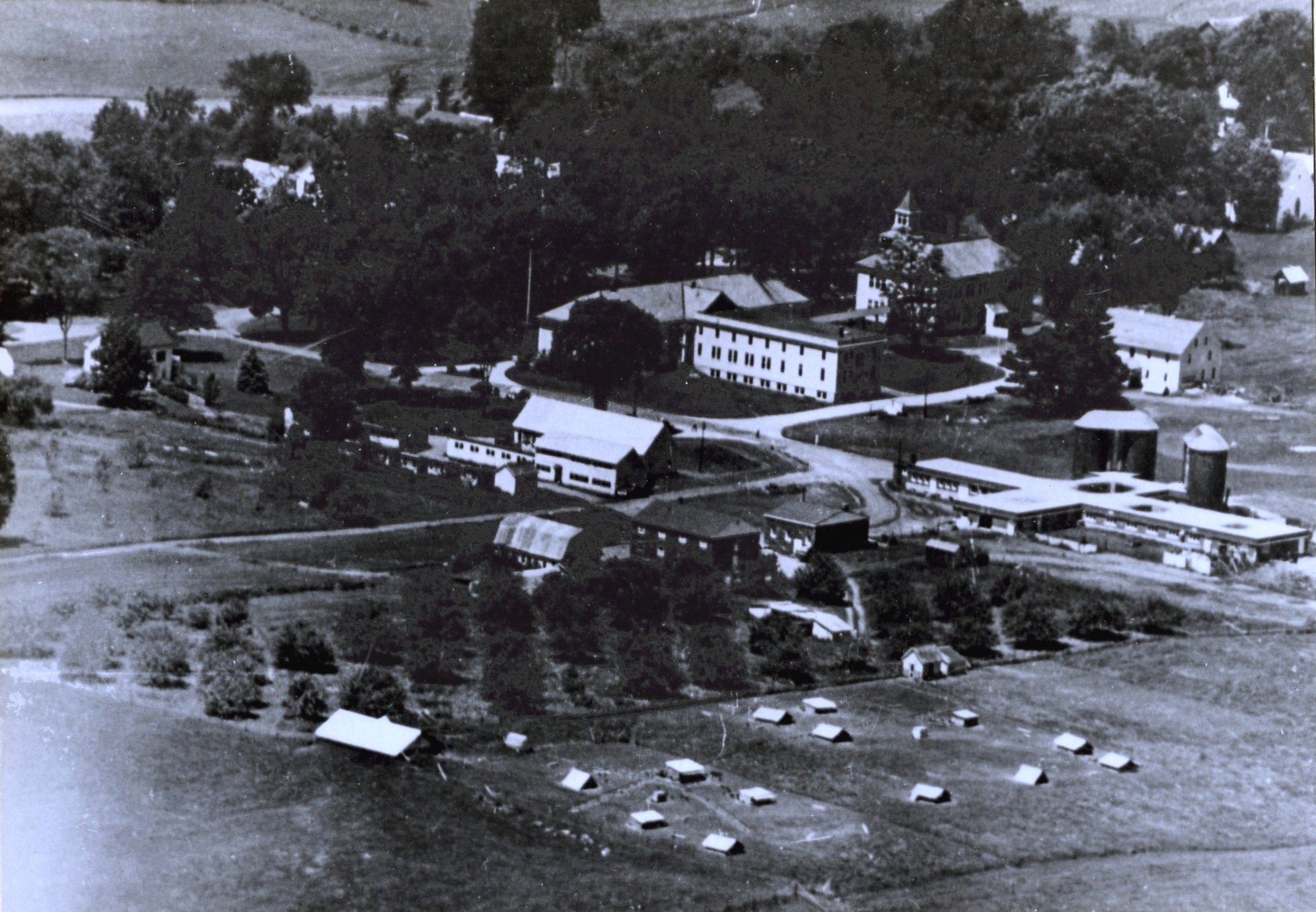
VSA Campus late1940's
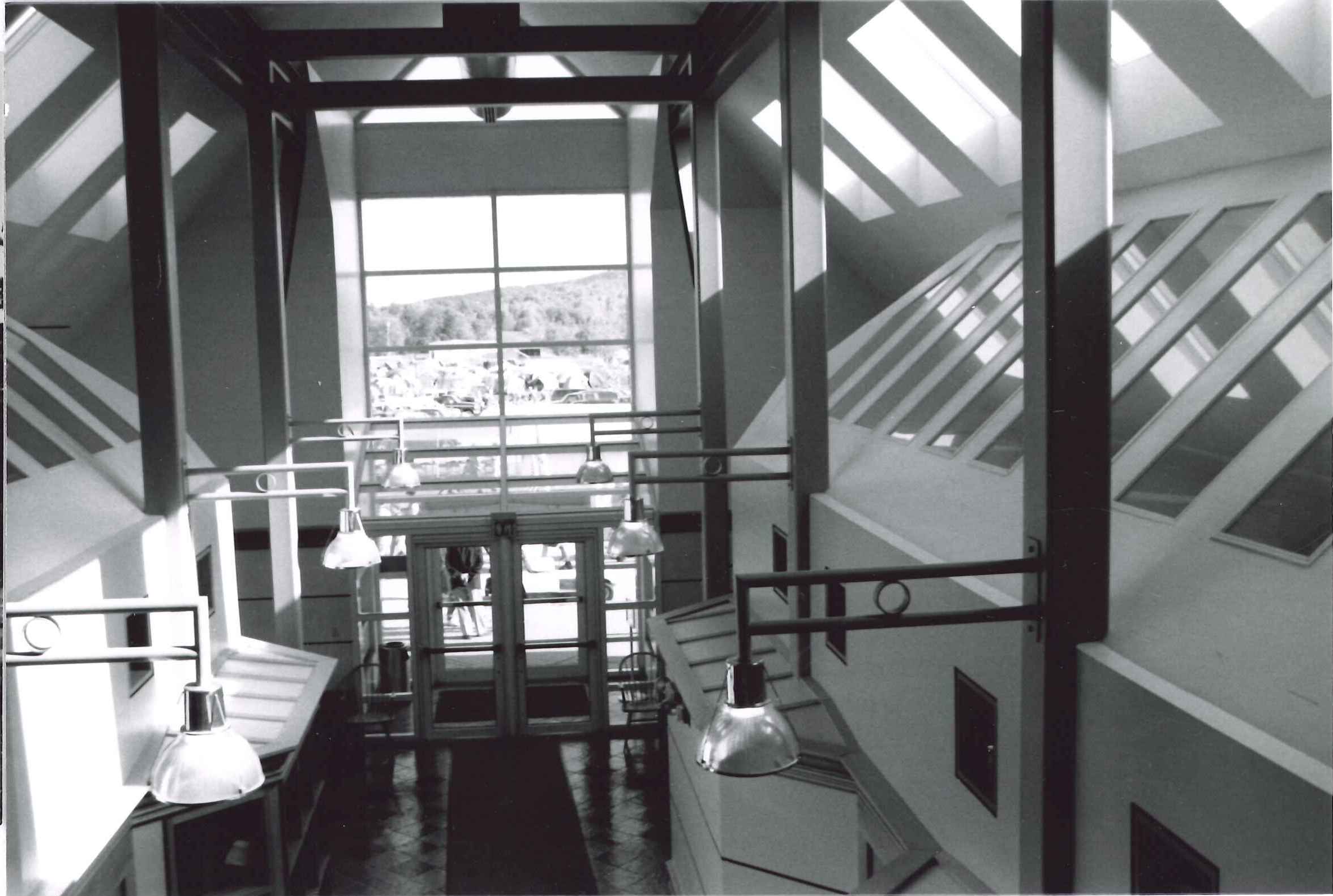
VTC Admin bldg Interior North entrance

Allen house

River-level view
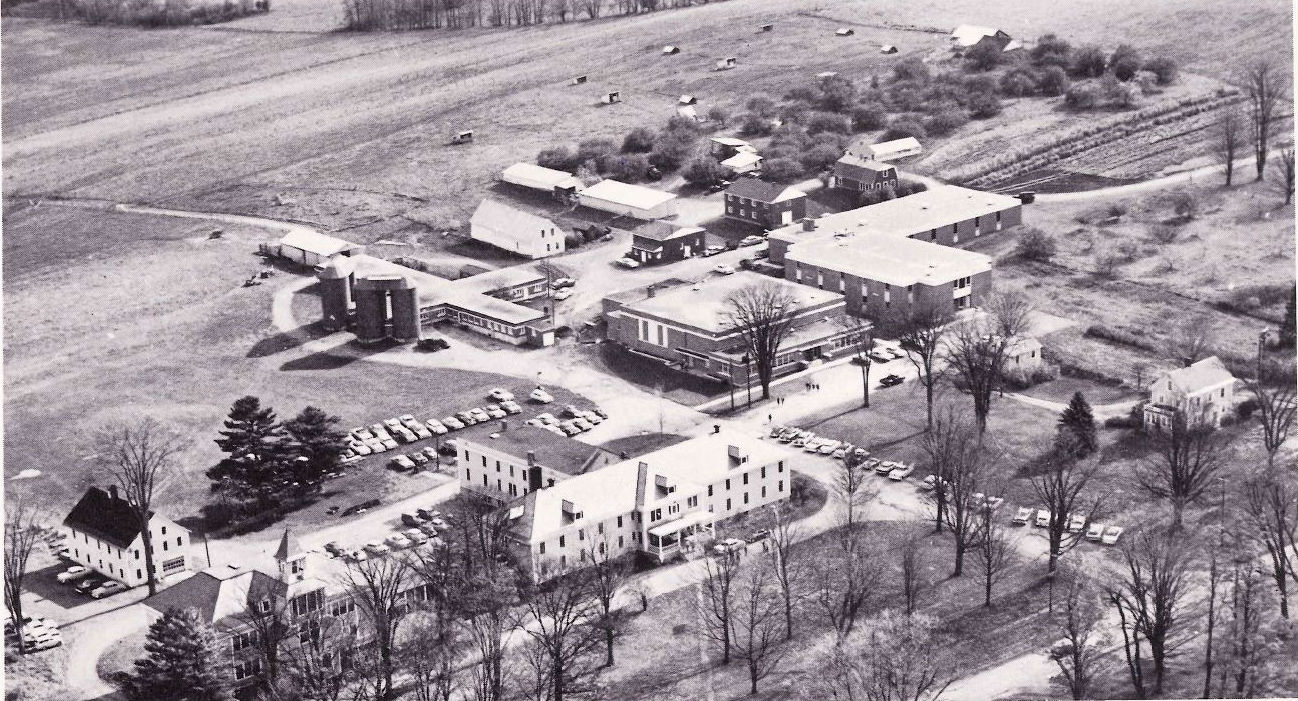
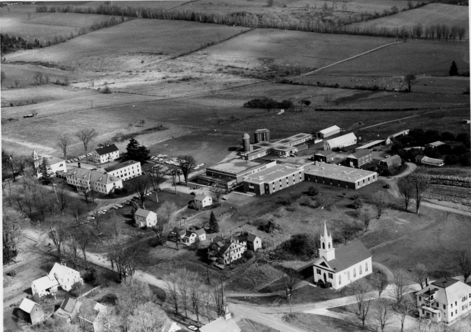
Campus air view 1963
VTC Campus 1964

Scenic View from NE copy

Blue Goose Farm View

Uphill View of the Farm

Dairy Farm
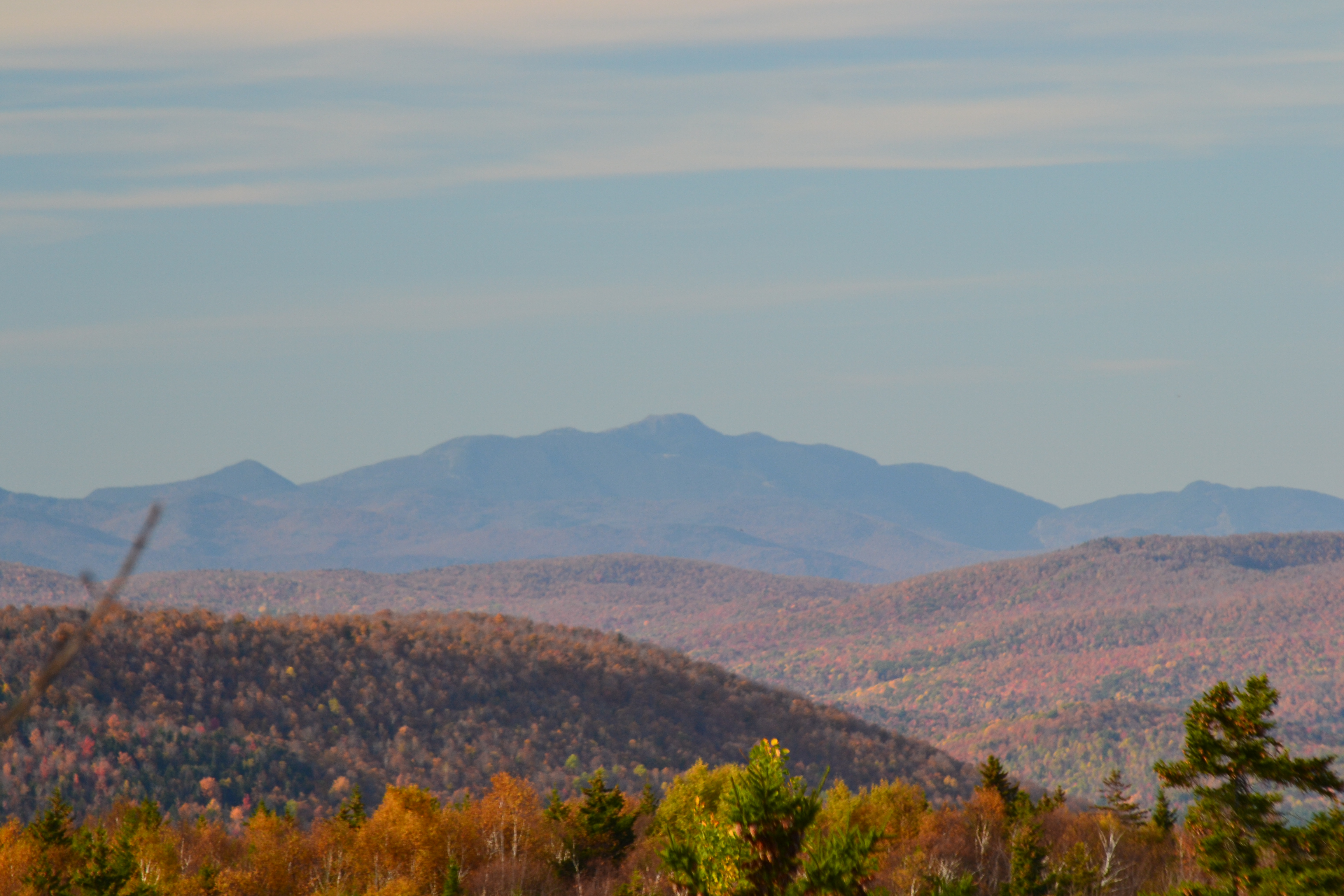
Mt Mansfield
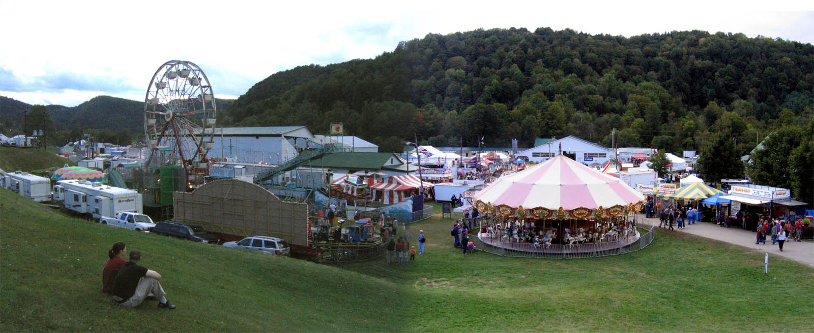
2007 Tunbridge World's Fair

Eastern Panorama

White Mountains

SW Panorama

Spruce Mountain

Aerial View of Randolph Center 1990s

Autumn at the Moxley Covered Bridge

2017-09-15_09-27-56

Howe Covered Bridge (Tunbridge Town, Vermont)

Northern New England Landscape (Royalton Town, Vermont)

D51-6360

I want to move here. #Vermont

Vermont State Highway 14 (East Randolph, Vermont)

Cemetery in Randolph, VT

Entering Chelsea (Chelsea, Vermont)

Cemetery in Tunbridge, VT

Central Vermont Landscape (Tunbridge Town, Vermont)

red barn from the floating bridge

Mill Covered Bridge

.
Topographic Map of Hebard Hill Rd, Randolph, VT, USA
Find elevation by address:

Places near Hebard Hill Rd, Randolph, VT, USA:
2024 Hebard Hill Rd
2281 Vt-66
Green Hill Drive
1182 Bear Hill Rd
1182 Bear Hill Rd
1142 Bear Hill Rd
Bear Hill Road
Braintree
Braintree, VT, USA
Brookfield
24 Stone Rd, Brookfield, VT, USA
60 Wilder Dr
1693 Chelsea Mtn Road
1693 Chelsea Mtn Road
475 Twin Pond Rd
745 Lamson Pond Rd
Lamson Pond
1372 Ralph Rd
Howe Road Extension
321 Dickerman Hill Rd
Recent Searches:
- Elevation of Corso Fratelli Cairoli, 35, Macerata MC, Italy
- Elevation of Tallevast Rd, Sarasota, FL, USA
- Elevation of 4th St E, Sonoma, CA, USA
- Elevation of Black Hollow Rd, Pennsdale, PA, USA
- Elevation of Oakland Ave, Williamsport, PA, USA
- Elevation of Pedrógão Grande, Portugal
- Elevation of Klee Dr, Martinsburg, WV, USA
- Elevation of Via Roma, Pieranica CR, Italy
- Elevation of Tavkvetili Mountain, Georgia
- Elevation of Hartfords Bluff Cir, Mt Pleasant, SC, USA