Elevation of Hauser Rd, Panama City, FL, USA
Location: United States > Florida > Bay County > Panama City >
Longitude: -85.505138
Latitude: 30.102778
Elevation: 3m / 10feet
Barometric Pressure: 101KPa
Elevation Map:
Satellite Map:
Related Photos:

Fire in the Sky

EARLY MORNING AT WATSON BAYOU...

Drone Panama City Beach and Mexico Beach

Drone Panama City Beach and Mexico Beach

Drone Panama City Beach and Mexico Beach

Drone Panama City Beach and Mexico Beach

Drone Panama City Beach and Mexico Beach

On the dock of the bay

Early Morning From 100 Feet

Early Morning From 100 Feet

Today's work table: another view of the bracelet

Welcome to Florida

Tyndall AFB, Panama City, FL: beach, view to the right (northwest)

SAILBOAT IN EARLY MORNING

RC Boat Lake

Going, going, gone...g'night

Cove Sunset

USA - Cabo Cañaveral (Florida)

Sunrise HDR

IMGP0387.jpg

Sun Set

2013-05-20_MG_0316-106190-Edit
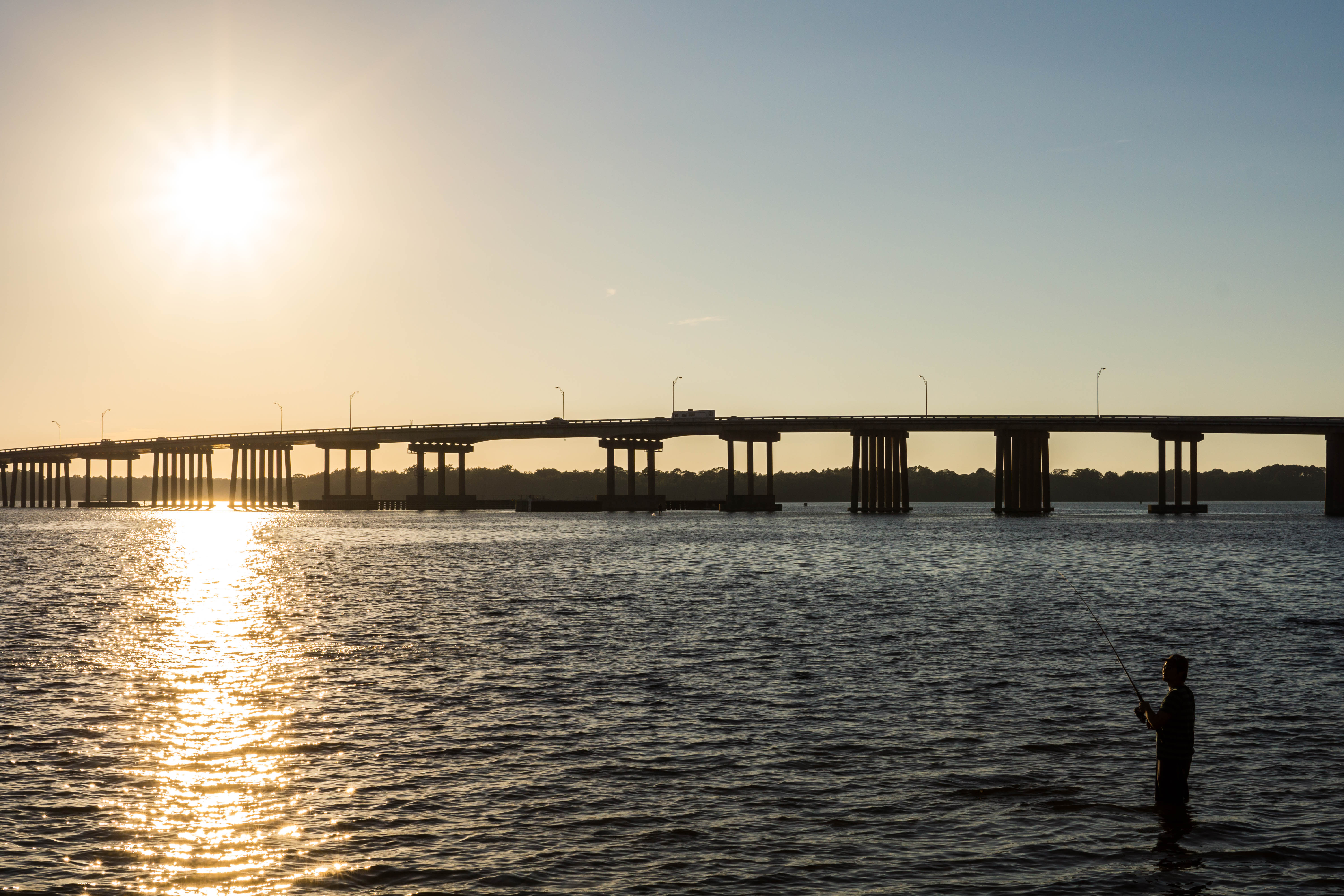
Dupont Bridge - US 98

Slowly Fading Away

Backyard Birds_MG_0019-134304.jpg

untitled_MG_0012-116582.jpg
Topographic Map of Hauser Rd, Panama City, FL, USA
Find elevation by address:

Places near Hauser Rd, Panama City, FL, USA:
1916 Poston Dr
1038 Tidewater Ln
1036 Tidewater Ln
1034 Tidewater Ln
538 Blue Heron Dr
Laird Bayou
831 Vista Del Sol Ln
903 Watermark Way
Laird Point
915 Tidewater Ln
4800 E Bay Dr
1141 Plantation Dr
1123 Plantation Dr
14131 Betty Louise Dr
8010 Betty Louise Dr
416 Tanya Pass
410 Tanya Pass
417 Tanya Pass
Callaway Forest
7525 Yellow Bluff Rd
Recent Searches:
- Elevation of Corso Fratelli Cairoli, 35, Macerata MC, Italy
- Elevation of Tallevast Rd, Sarasota, FL, USA
- Elevation of 4th St E, Sonoma, CA, USA
- Elevation of Black Hollow Rd, Pennsdale, PA, USA
- Elevation of Oakland Ave, Williamsport, PA, USA
- Elevation of Pedrógão Grande, Portugal
- Elevation of Klee Dr, Martinsburg, WV, USA
- Elevation of Via Roma, Pieranica CR, Italy
- Elevation of Tavkvetili Mountain, Georgia
- Elevation of Hartfords Bluff Cir, Mt Pleasant, SC, USA