Elevation of Hauptstraße 31, Gerbstedt, Germany
Location: Germany > Saxony-anhalt > Gerbstedt > Freist >
Longitude: 11.70324
Latitude: 51.60483
Elevation: 91m / 299feet
Barometric Pressure: 100KPa
Elevation Map:
Satellite Map:
Related Photos:
Blick Richtung A14
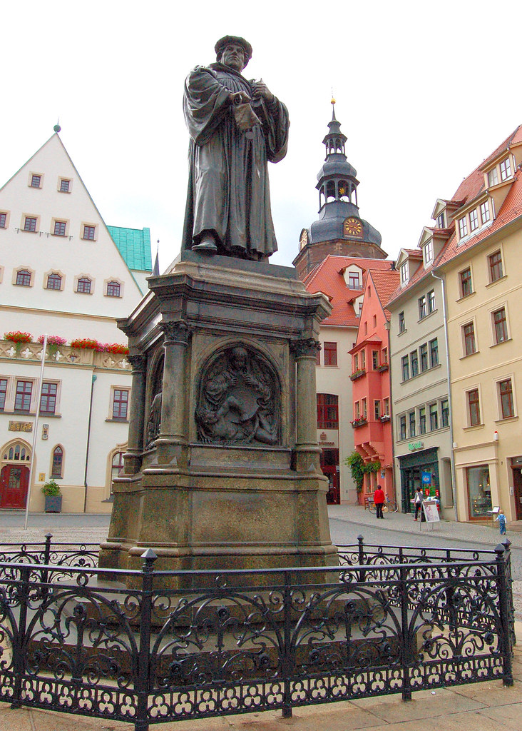
The Lutherdenkmal (Luther Monument) in Eisleben, Germany

View over Loebejuen near Halle(Saale)
Aderstedt - Bernburg

Hier trennt sich die Spreu vom Weizen

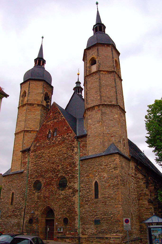
The Church of Saints Peter and Paul in Eisleben, Germany
Nice view
The Andreaskirche (Church of St. Andreas) in Eisleben, Germany.

Arsenal in the church of Bennstedt
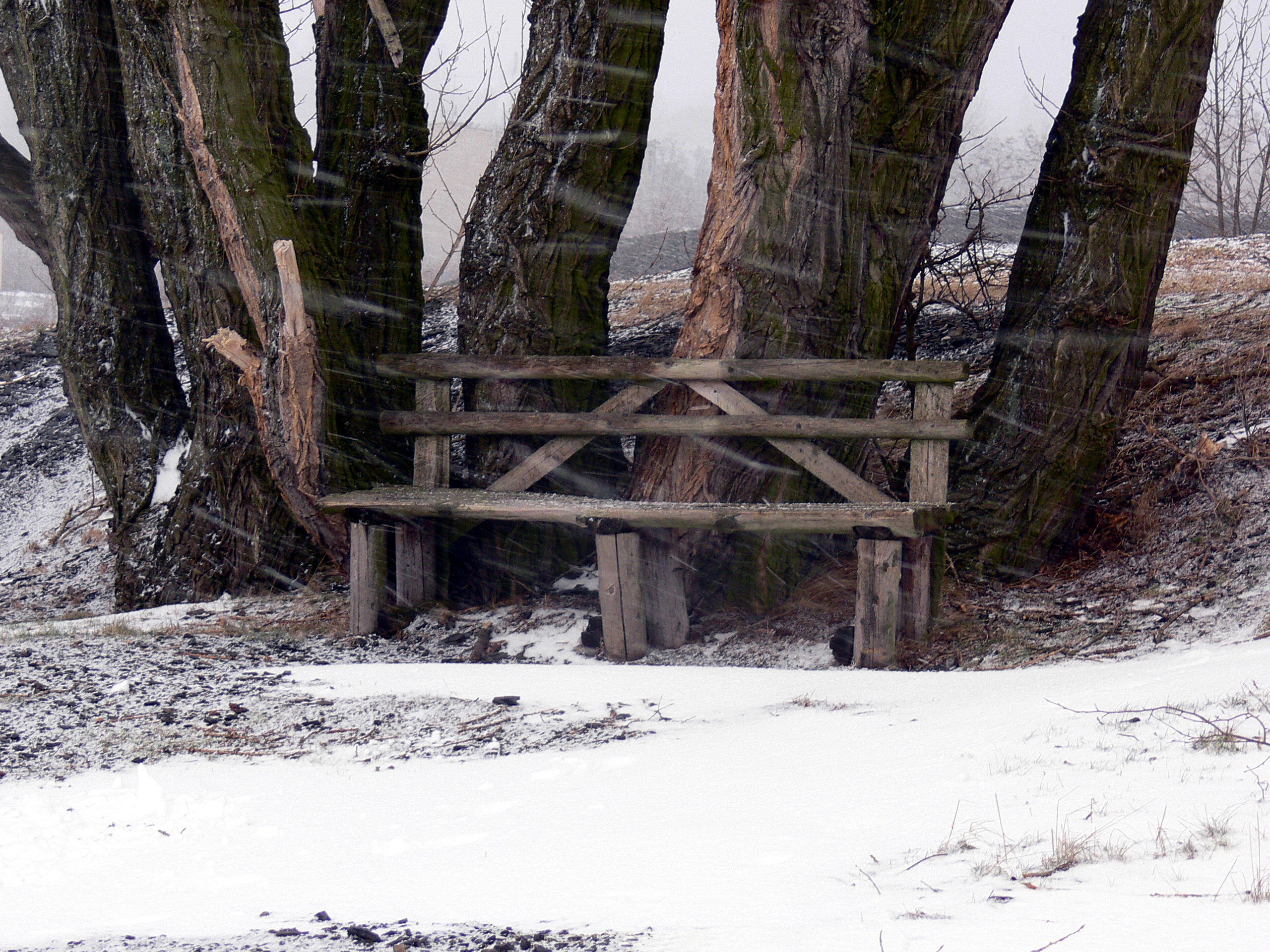
Just started to snow
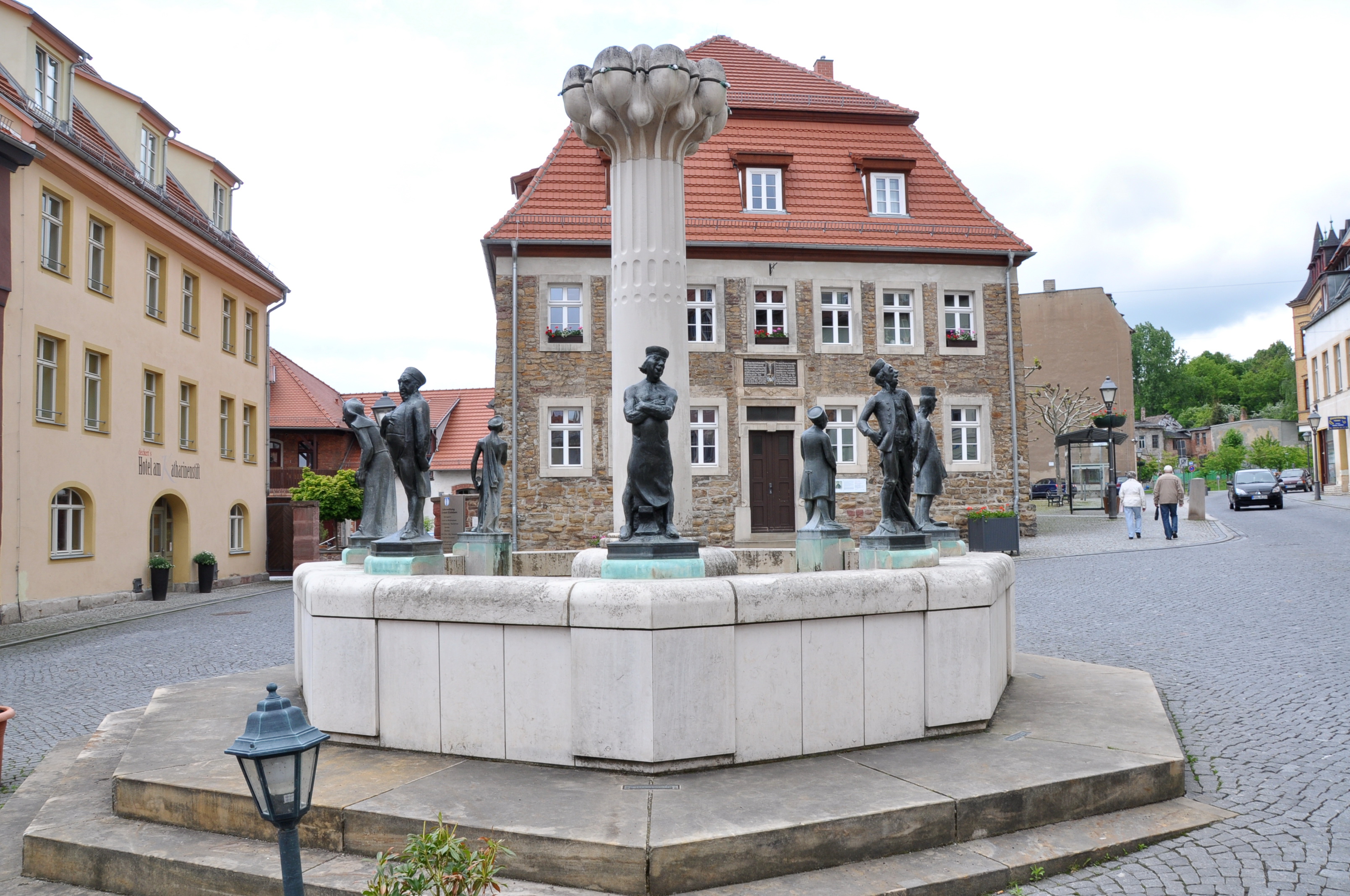
Eisleben, Knappenbrunnen, 24.5.13

Church - Kirche "Sankt Petri" in Loebejuen
Fog Scene

Klostermansfeld ¦ 2014

A view from a hill
Clear view

Klostermansfeld ¦ 2014

Klostermansfeld ¦ 2014
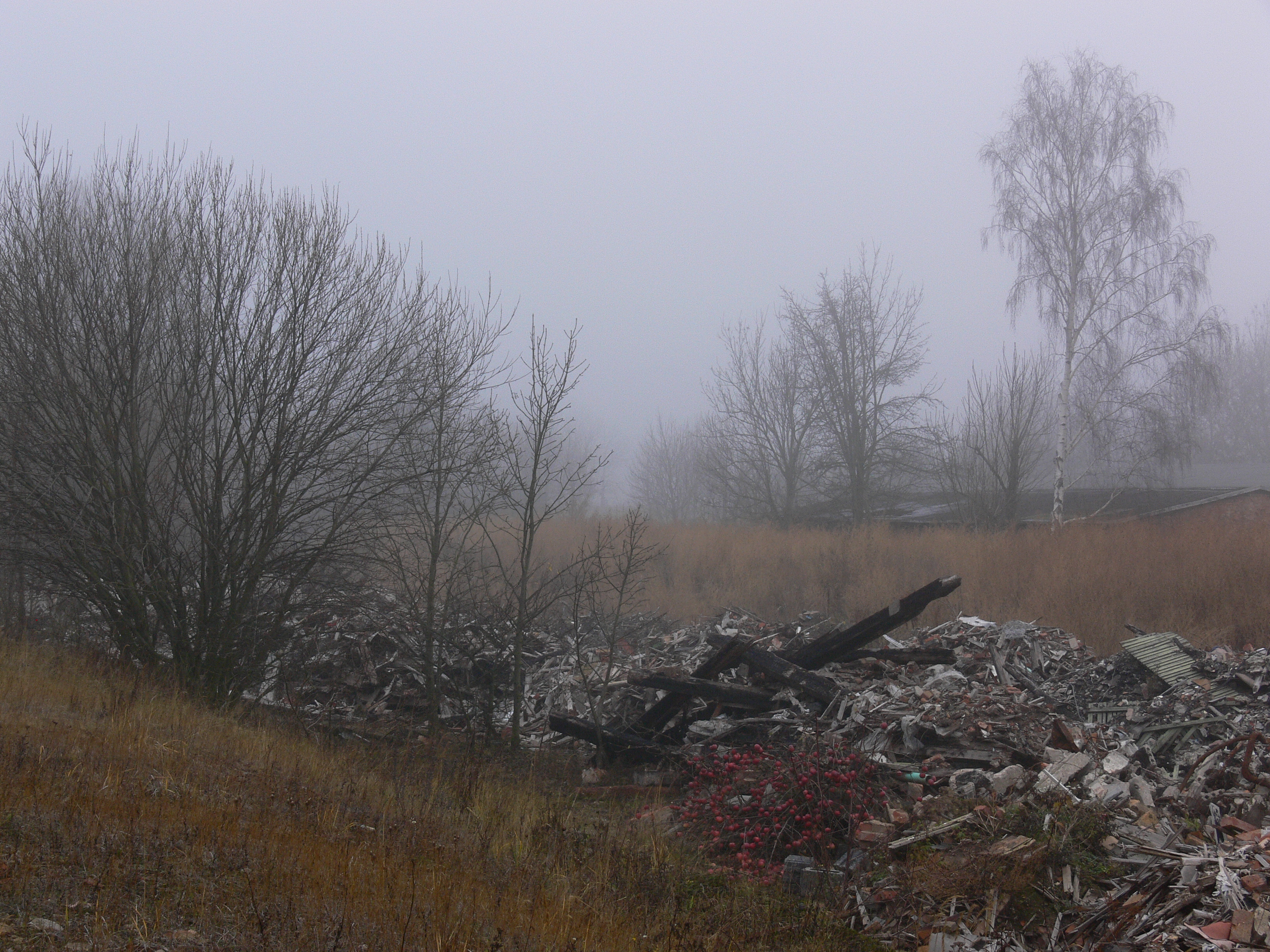
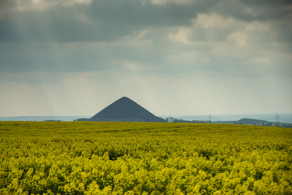
Mining Dump
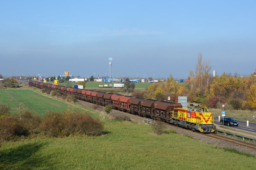
275 219-4
P1120813-3
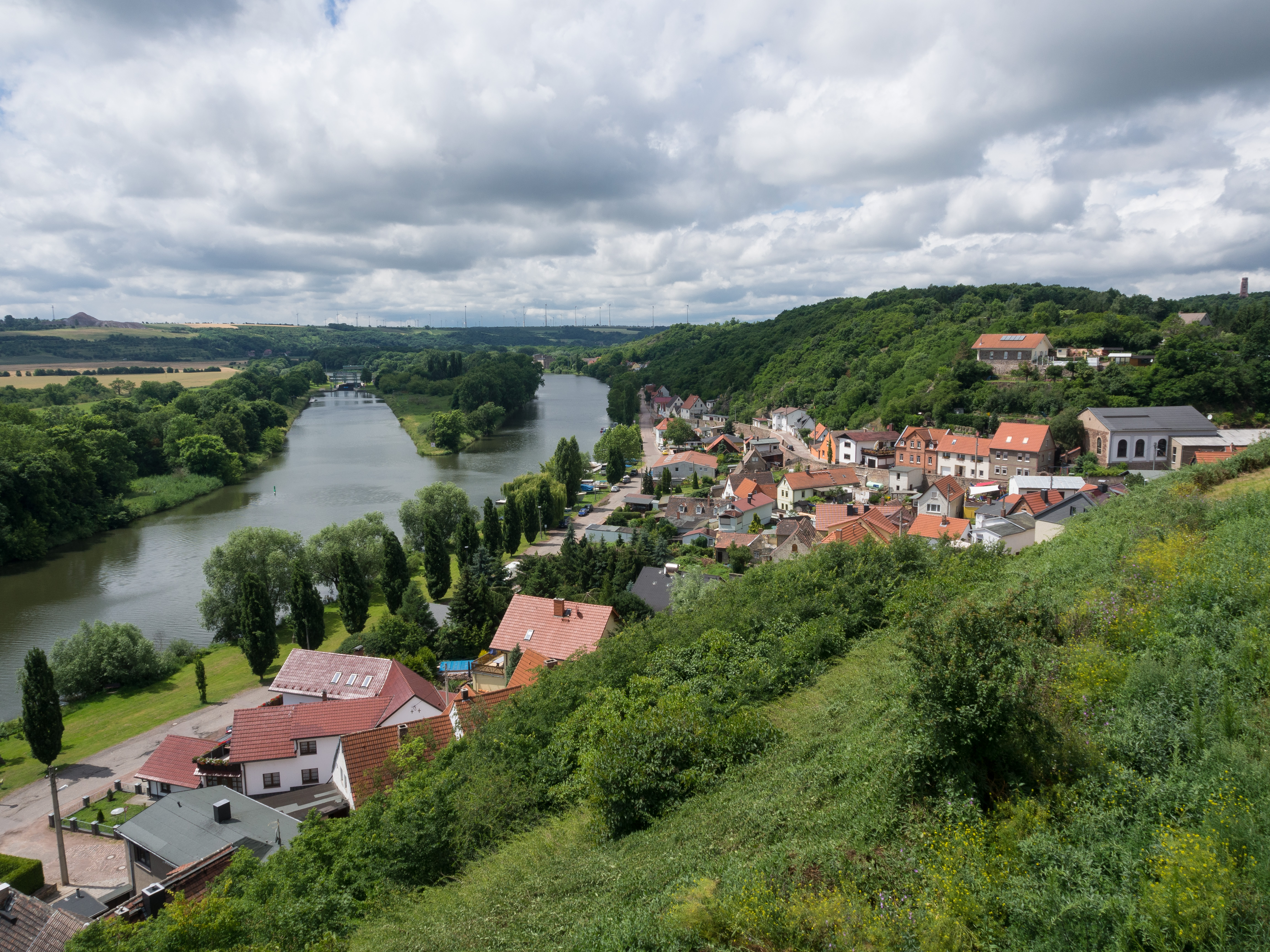
Wettin (2)

P1080650-1
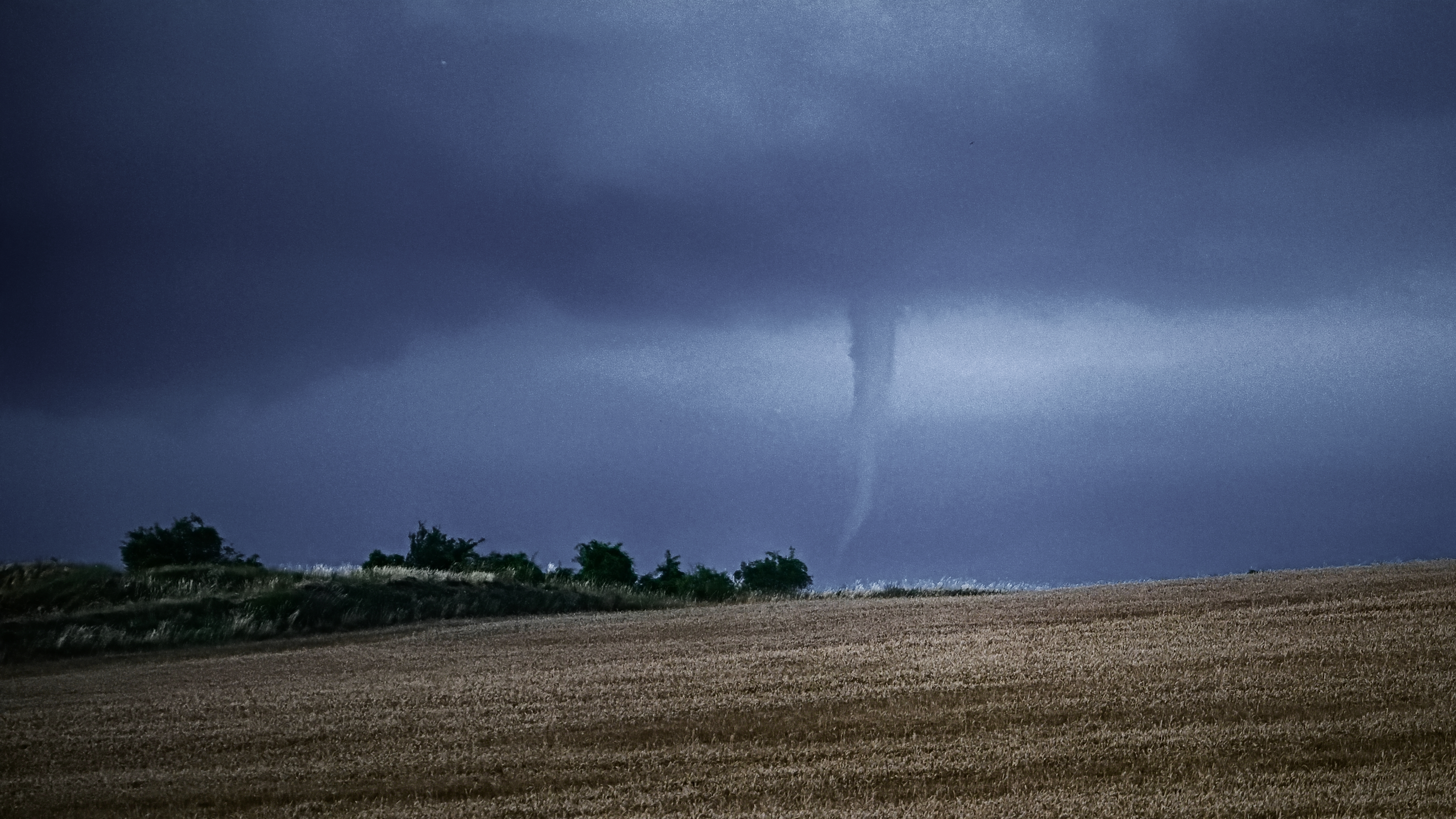
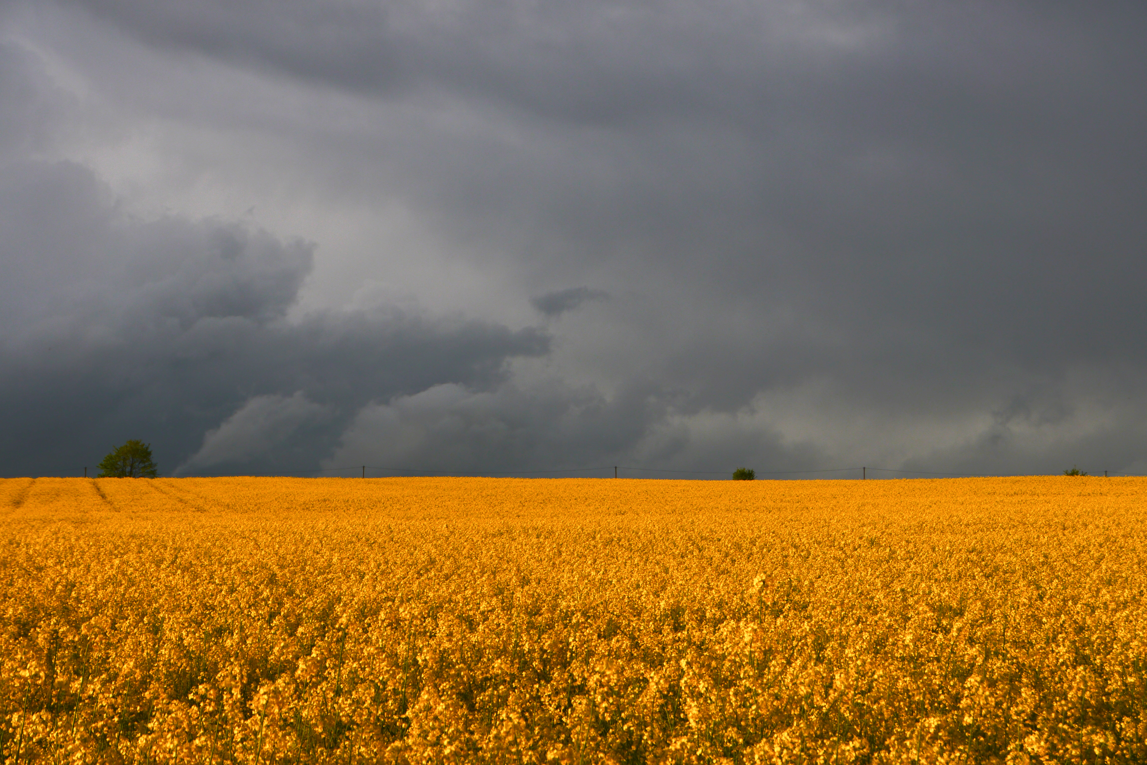
Tornado am Abend...

Eisleben am Horizont

Herbst 2012 in Hettstedt
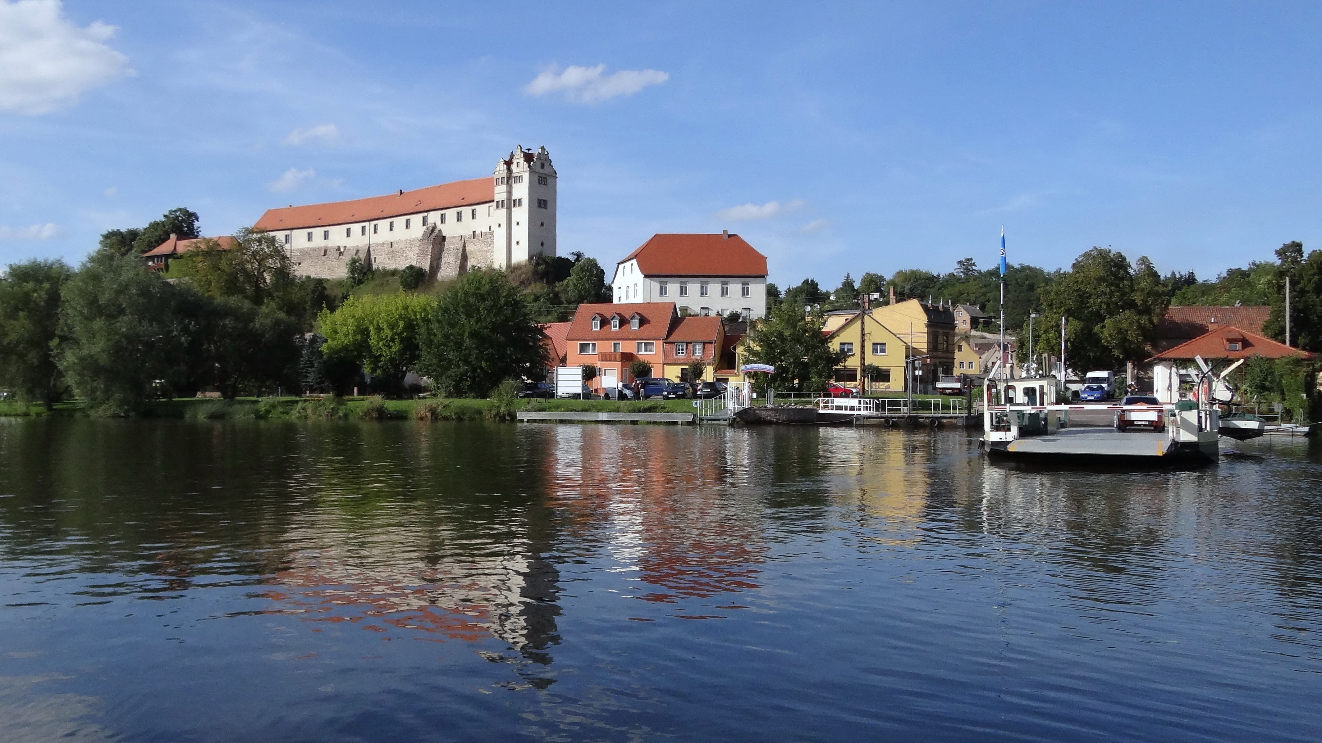
Burg Wettin(3)
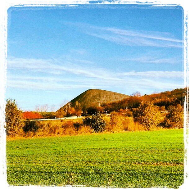
Kupferschieferhalde Mansfelder Land
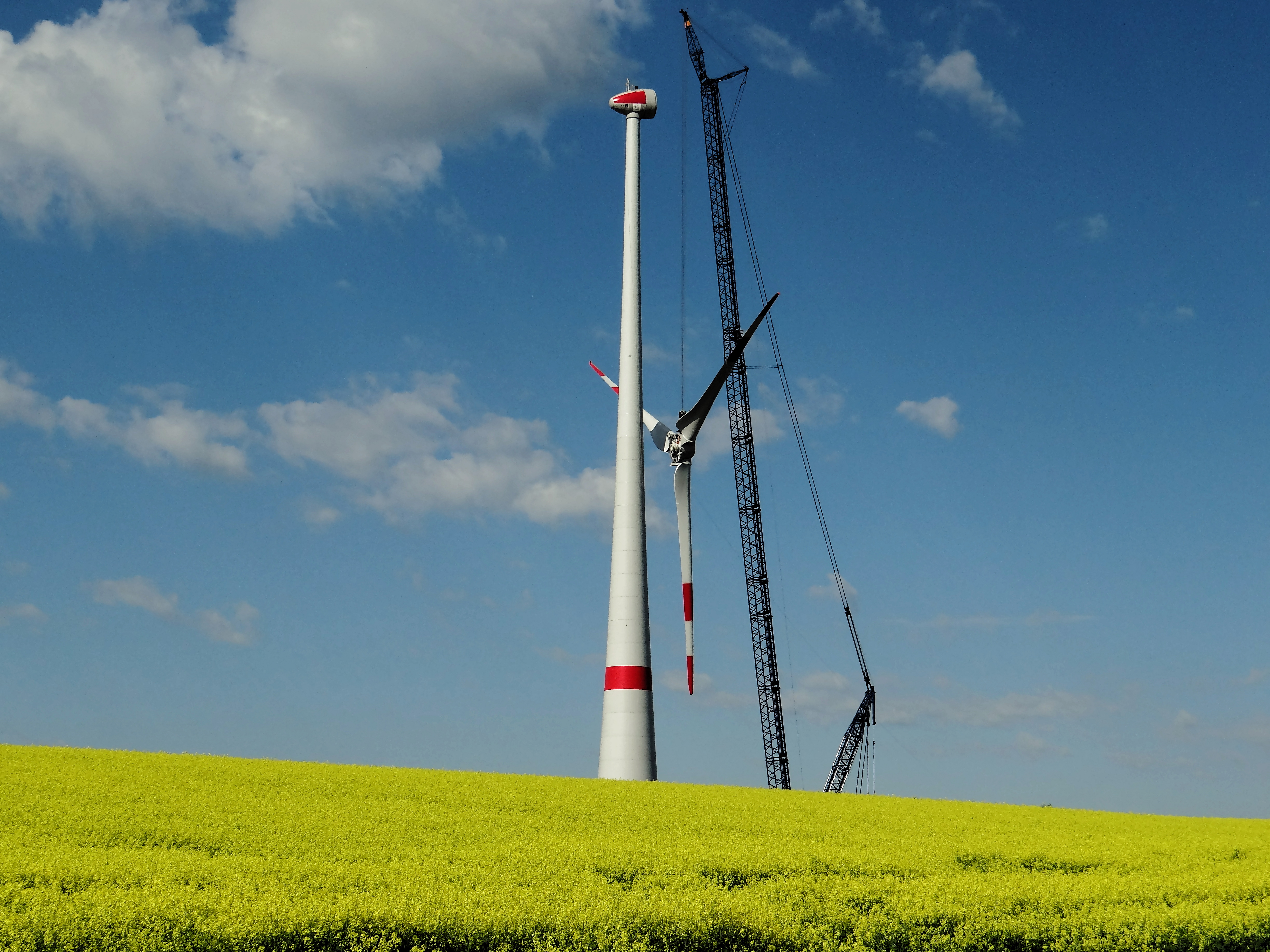
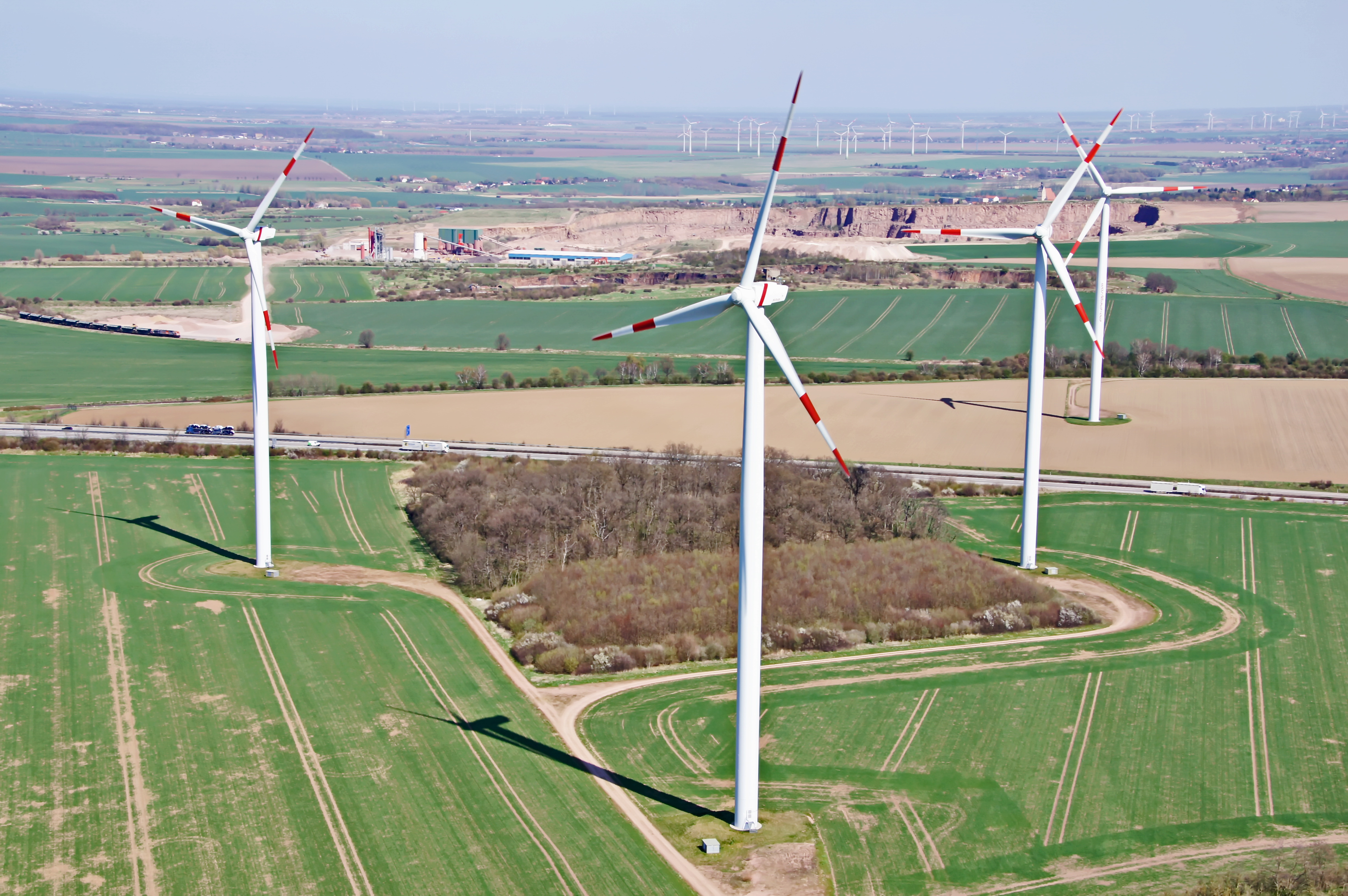
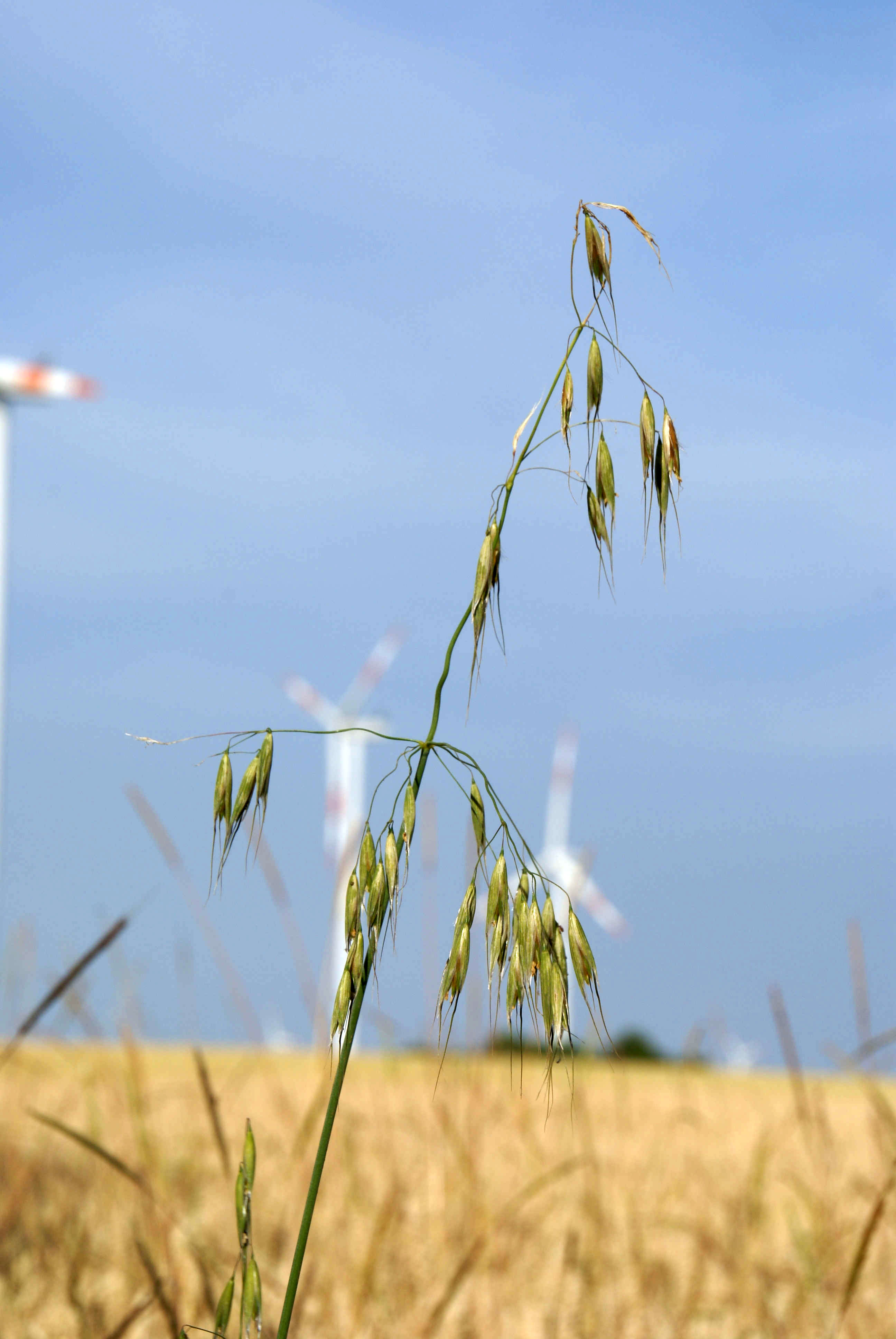
Wind Energie Anlage
Halde des Ernst-Thälmann-Schacht
Wolferode-Garten

P1030075a-1
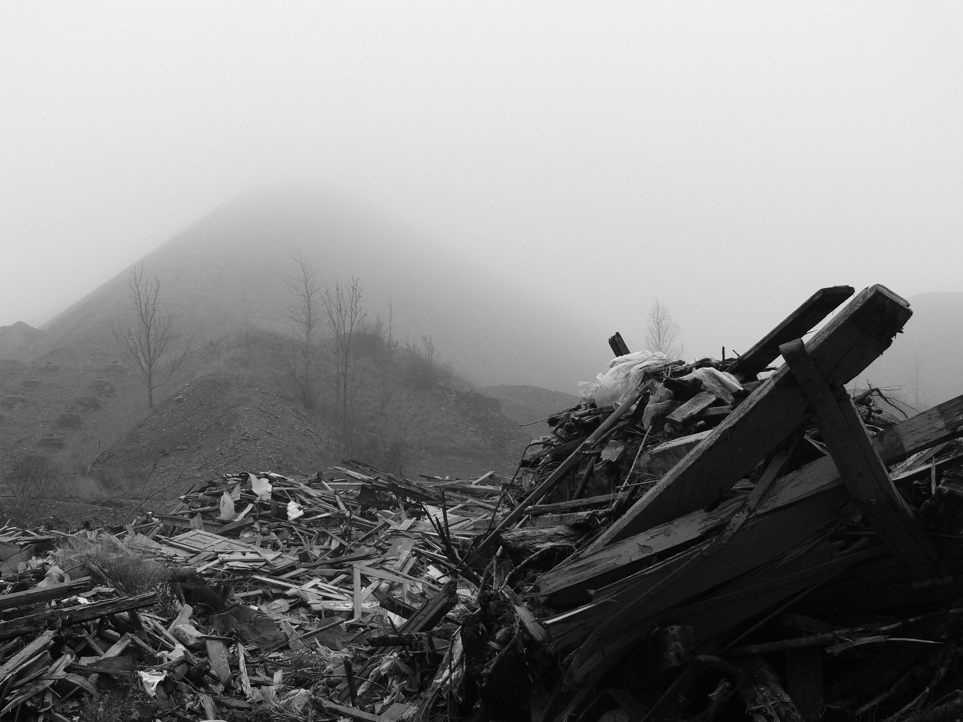
Fog covering the past
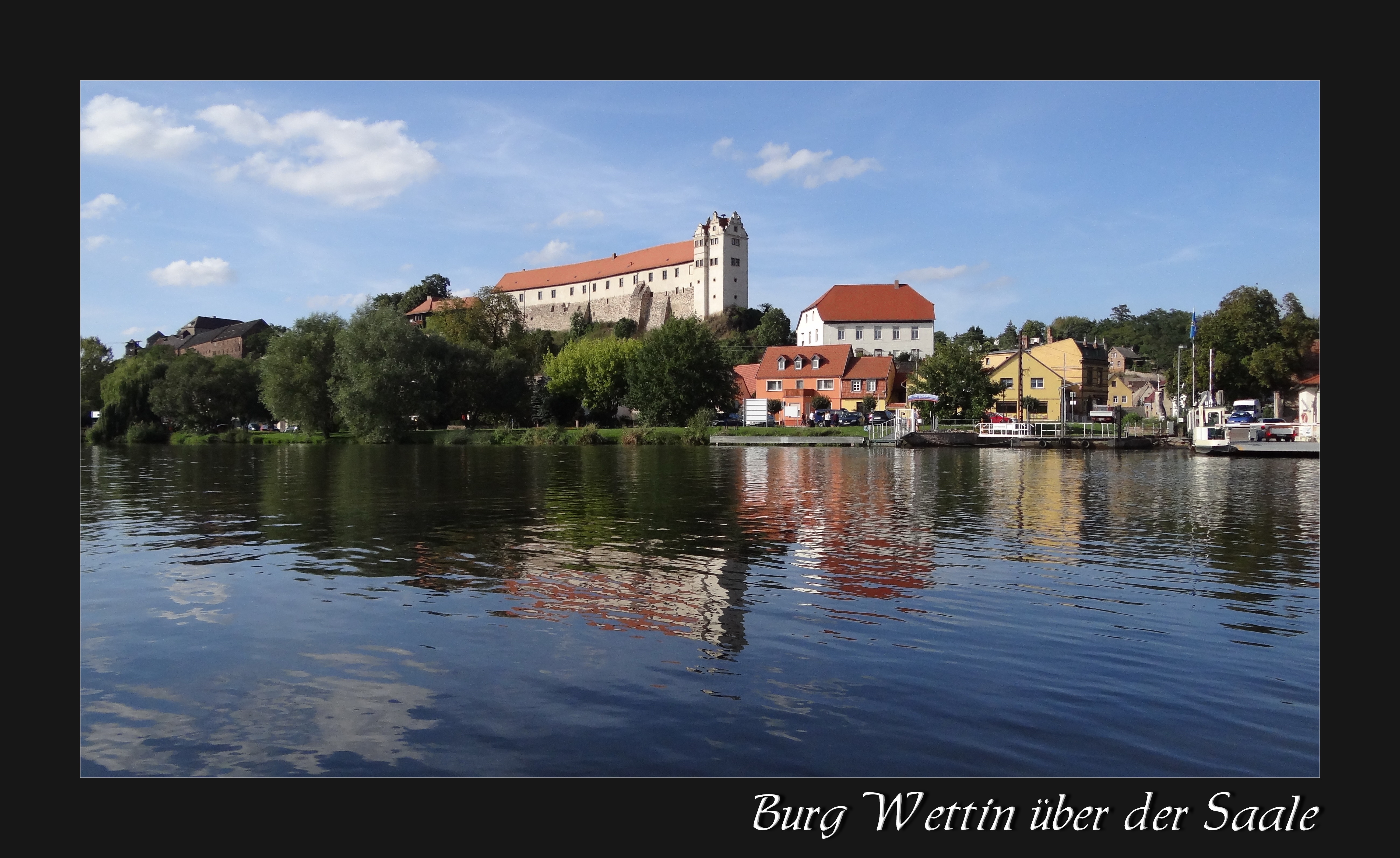
Burg Wettin(1)
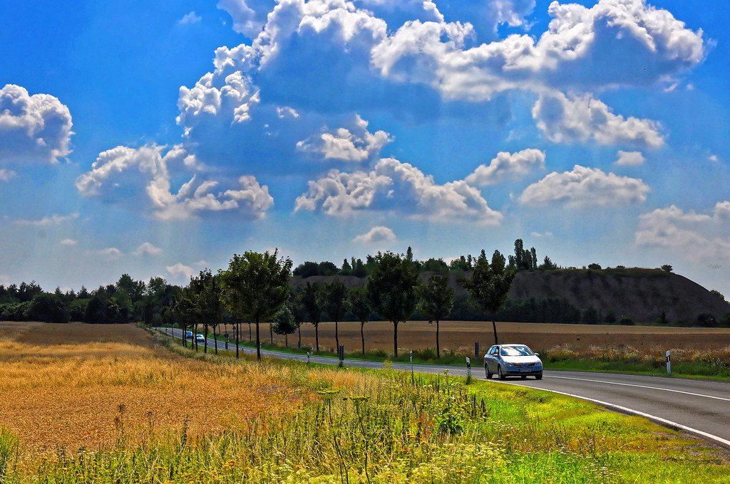
Unterwegs im Salzlandkreis
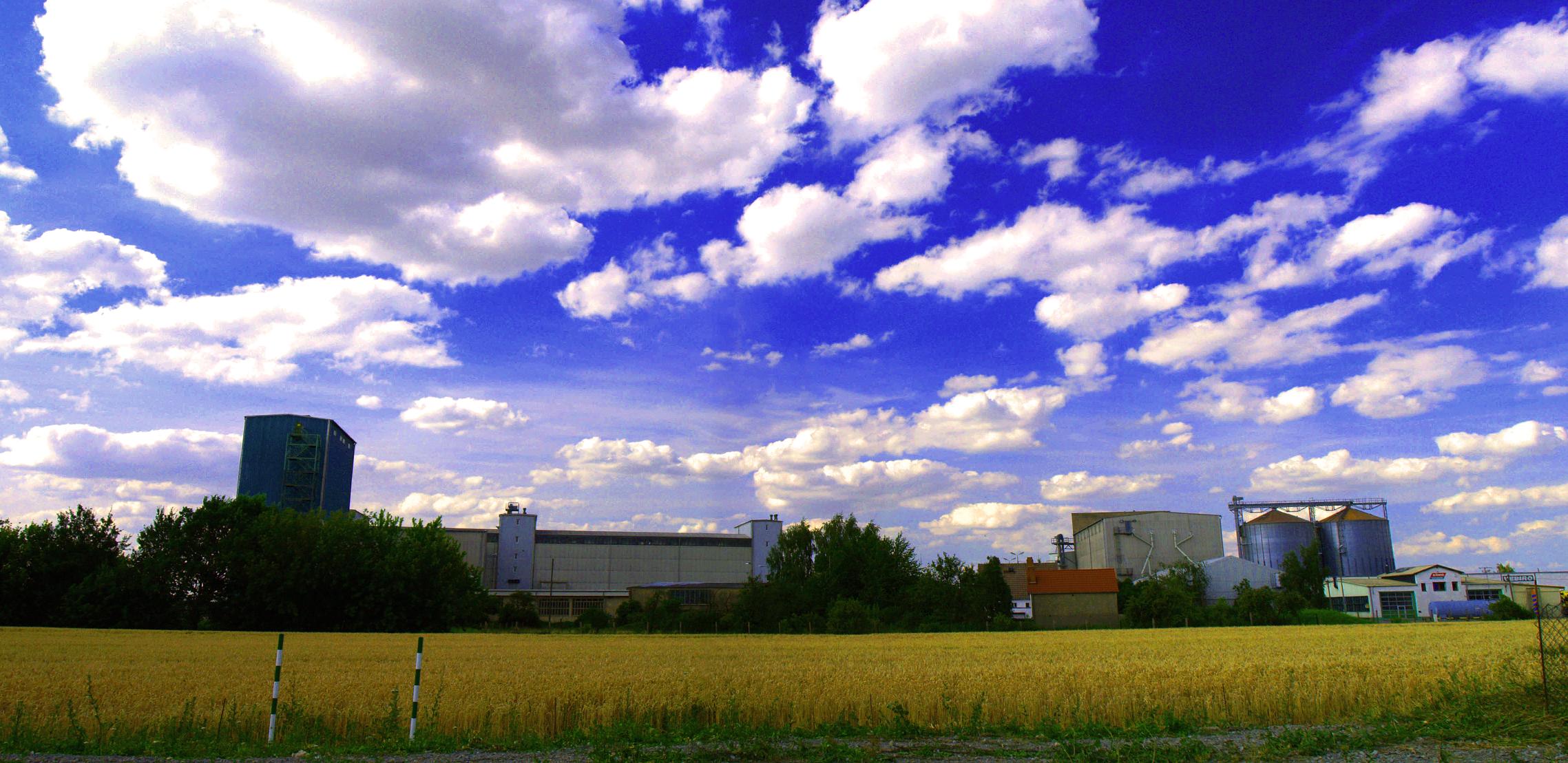
Deuka-Werk

Höhenrundweg Zappendorf

Land und Wolken

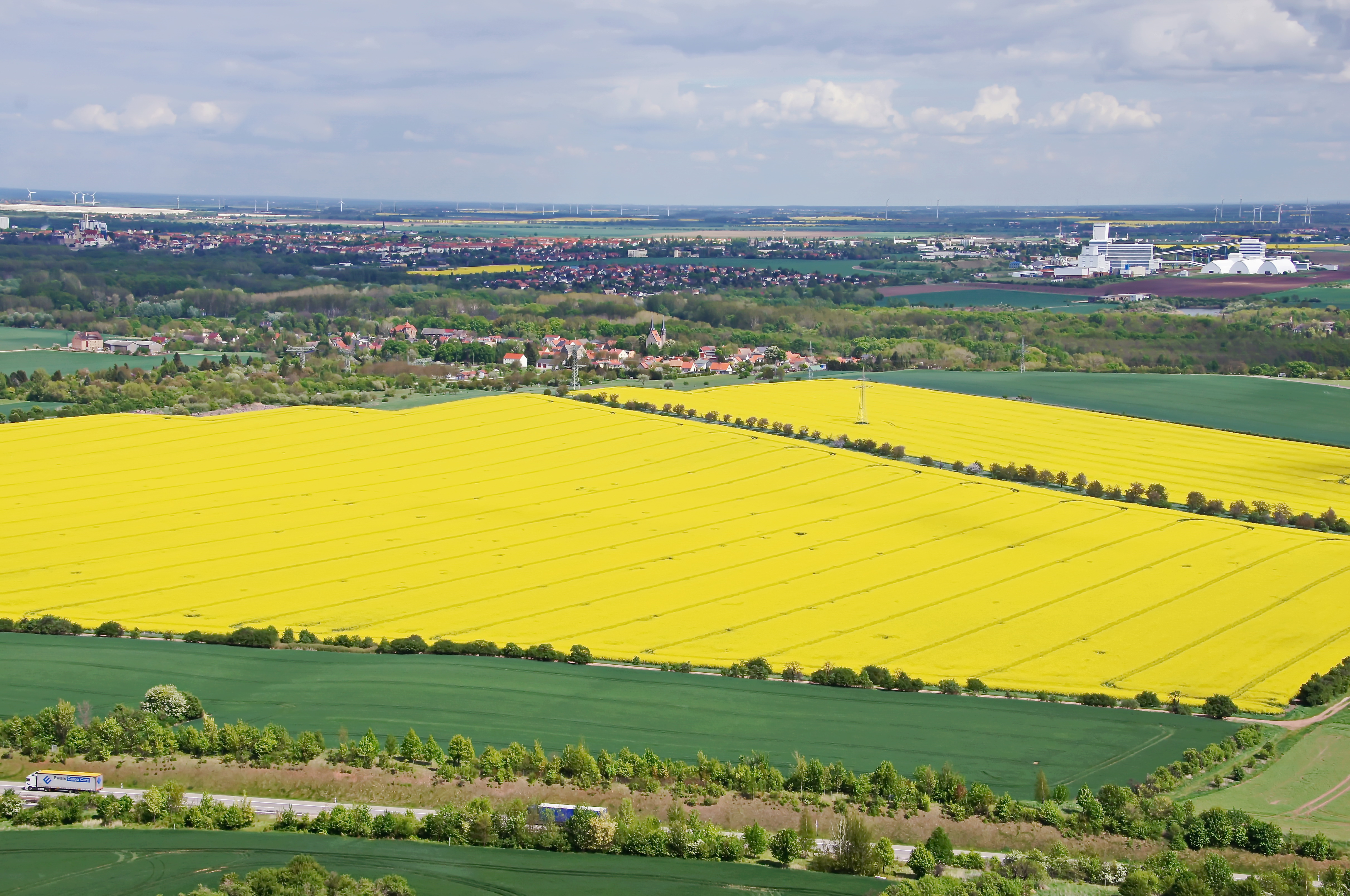
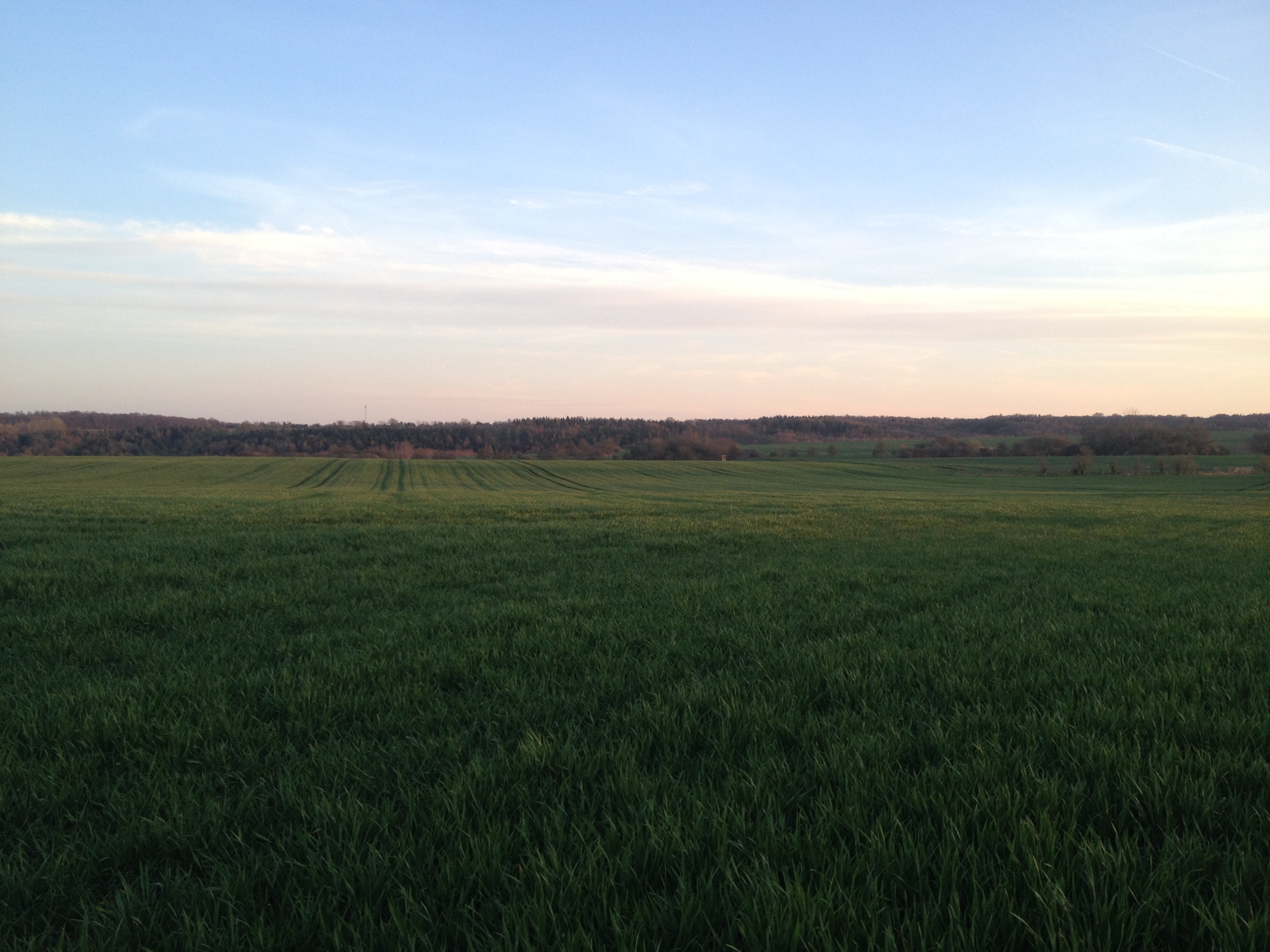
Green fields

The grim Reaper
Topographic Map of Hauptstraße 31, Gerbstedt, Germany
Find elevation by address:

Places near Hauptstraße 31, Gerbstedt, Germany:
Freist
Gerbstedt
Könnern
Wettin
Gasse 1, Wettin-Löbejün, Germany
Zaschwitz
Am Berg 30, Wettin-Löbejün, Germany
Sieglitz
12a
Salzmünde
Benkendorf
Str. des Friedens 6, Salzmünde, Germany
Wettin-löbejün
Friedrichsschwerz
Coloniestraße 41, Brachwitz, Germany
Brachwitz
Petersberg
Kröllwitz
Fuchsbergstraße 7, Halle (Saale), Germany
Recent Searches:
- Elevation of Corso Fratelli Cairoli, 35, Macerata MC, Italy
- Elevation of Tallevast Rd, Sarasota, FL, USA
- Elevation of 4th St E, Sonoma, CA, USA
- Elevation of Black Hollow Rd, Pennsdale, PA, USA
- Elevation of Oakland Ave, Williamsport, PA, USA
- Elevation of Pedrógão Grande, Portugal
- Elevation of Klee Dr, Martinsburg, WV, USA
- Elevation of Via Roma, Pieranica CR, Italy
- Elevation of Tavkvetili Mountain, Georgia
- Elevation of Hartfords Bluff Cir, Mt Pleasant, SC, USA