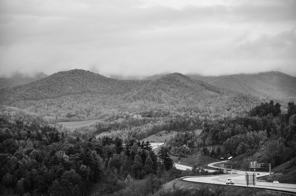
Elevation of Hatton Holler Dr, Marshall, NC, USA
Location: United States > North Carolina > Madison County > 1, North Marshall > Marshall >
Longitude: -82.618373
Latitude: 35.8008477
Elevation: 637m / 2090feet
Barometric Pressure: 94KPa
Elevation Map:
Satellite Map:
Related Photos:

Madison County Courthouse, Marshall, NC

You Are the Sunflower of My Life - Apologies to Stevie Wonder! View large. Explore November 3, 2012.

In the Library at Weaverville, NC

Google Maps Street View Camera Car

Red Barn with Tree

Mars Theatre

Madison County Courthouse, Marshall, NC

Carter-Swain House

Carter-Swain House
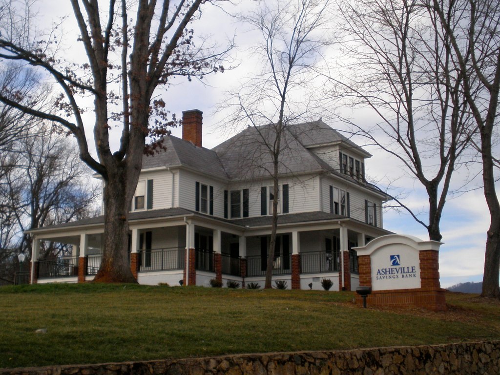
The Bank

Old House ☛ New Bank

HDR Rainbow

Reems Creek Golf Club Golf Course Aerial View

Paint Fork Valley in Barnardsville, North Carolina Aerial View with Autumn Colors

Google Maps Street View Camera Car

Reems Creek Golf Club Golf Course Aerial View

Google Maps Street View Camera Car

Google Maps Street View Camera Car
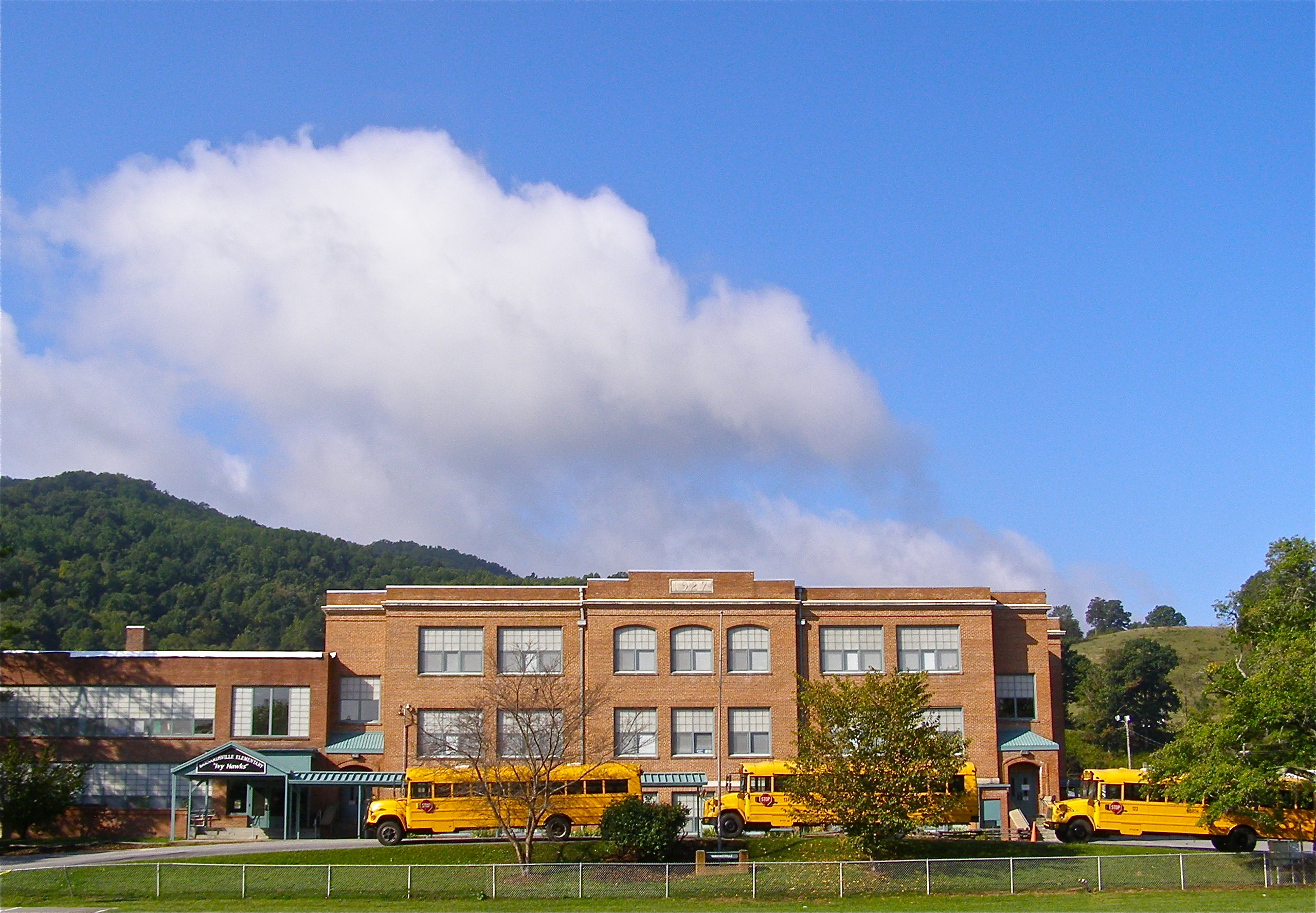
Mountain School

Google Maps Street View Camera Car

Google Maps Street View Camera Car

784 crosses the French Broad

Purple Skies

Grey Winter Creek

Mountains in North Carolina

Sunrise over the Appalachians

Pond at Reems Creek

Red Barn
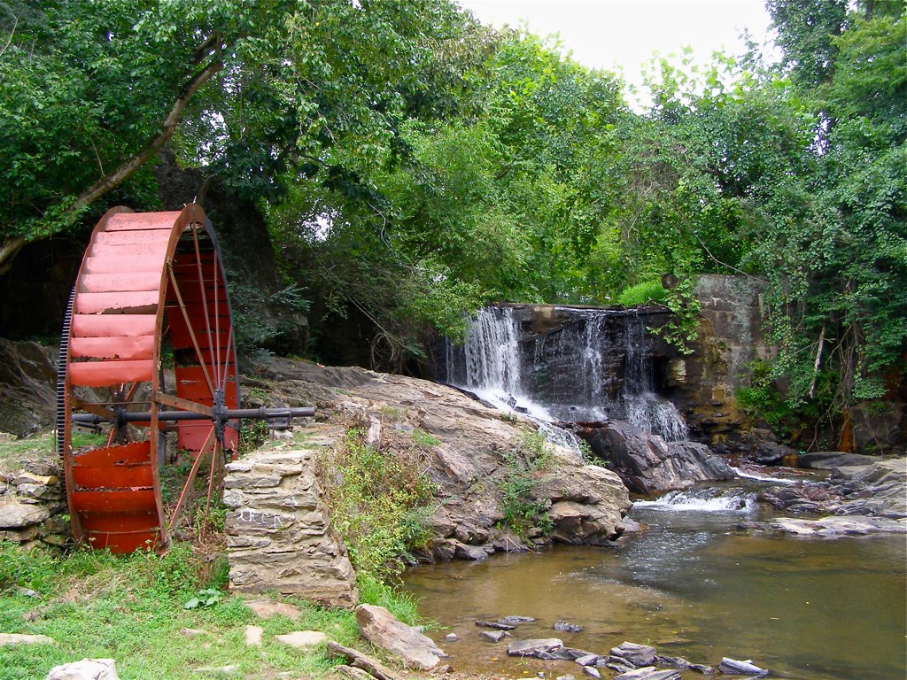
Reems Creek Old Mill Site

Worth waking up for #sunrise #sun #leicesternc #sandymush #Asheville #828isgreat #avlwx

Retention Basin

Flat Creek Oak

Tiny Purple Retreat - Original Art Painting
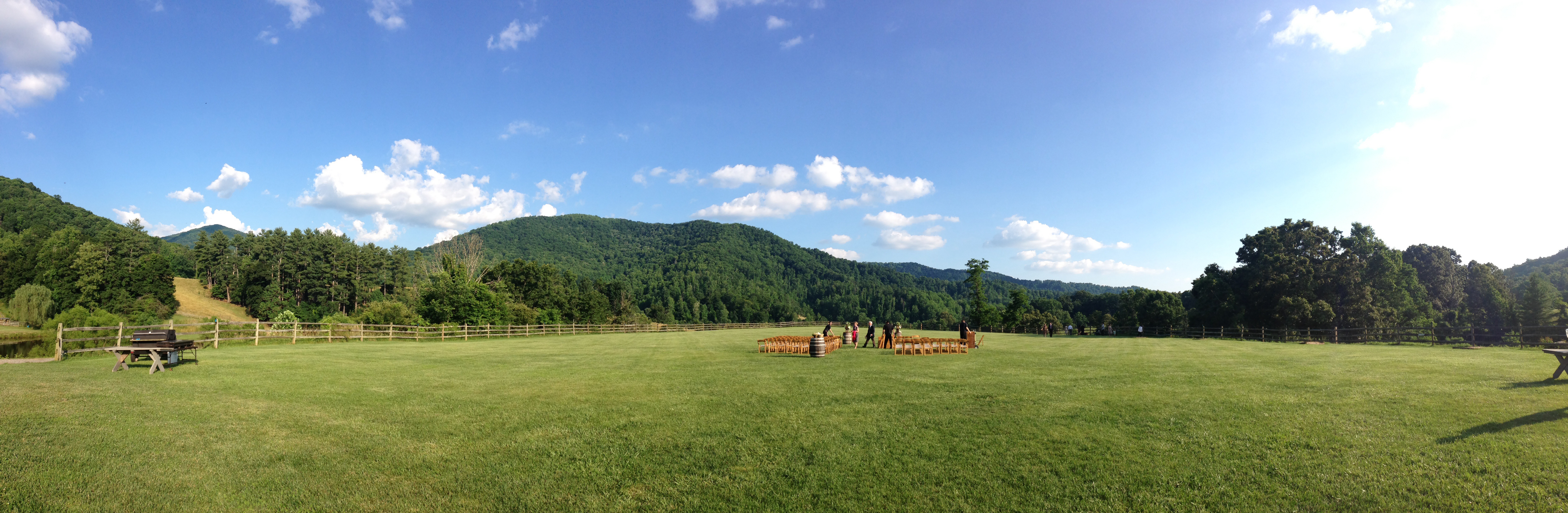
Apparently weddings in Asheville are pretty

Cone Flowers :: Original Art Painting

Tiny Hut in the Big Mountains - Original Art Painting

Light Snow
on the road outside Asheville, NC

Gnome Home - Original Art Painting

Main Street - Original Art Painting

Barnardsville, NC, 1959
Topographic Map of Hatton Holler Dr, Marshall, NC, USA
Find elevation by address:

Places near Hatton Holler Dr, Marshall, NC, USA:
1574 Windswept Ridge Rd
26 Chestnut Hill Ln
Sugar Maple Lane
156 Red Oak Ln
380 Chestnut Hill Ln
1820 Tillery Br Rd
878 Halewood Rd
1293 Boulder Rd
1295 Boulder Rd
85 Sissys Cove Rd
1, North Marshall
29 Sprouse Town Rd
462 Cabin Hollow Dr
462 Cabin Hollow Dr
1057 Thomas Br Rd
156 Sagewood Dr
Willow Lane
Flynn Branch Road
Flynn Branch Road
Flynn Branch Road
Recent Searches:
- Elevation of Corso Fratelli Cairoli, 35, Macerata MC, Italy
- Elevation of Tallevast Rd, Sarasota, FL, USA
- Elevation of 4th St E, Sonoma, CA, USA
- Elevation of Black Hollow Rd, Pennsdale, PA, USA
- Elevation of Oakland Ave, Williamsport, PA, USA
- Elevation of Pedrógão Grande, Portugal
- Elevation of Klee Dr, Martinsburg, WV, USA
- Elevation of Via Roma, Pieranica CR, Italy
- Elevation of Tavkvetili Mountain, Georgia
- Elevation of Hartfords Bluff Cir, Mt Pleasant, SC, USA