Elevation of Hartford, VT, USA
Location: United States > Vermont > Windsor County >
Longitude: -72.369699
Latitude: 43.6637411
Elevation: 188m / 617feet
Barometric Pressure: 99KPa
Elevation Map:
Satellite Map:
Related Photos:
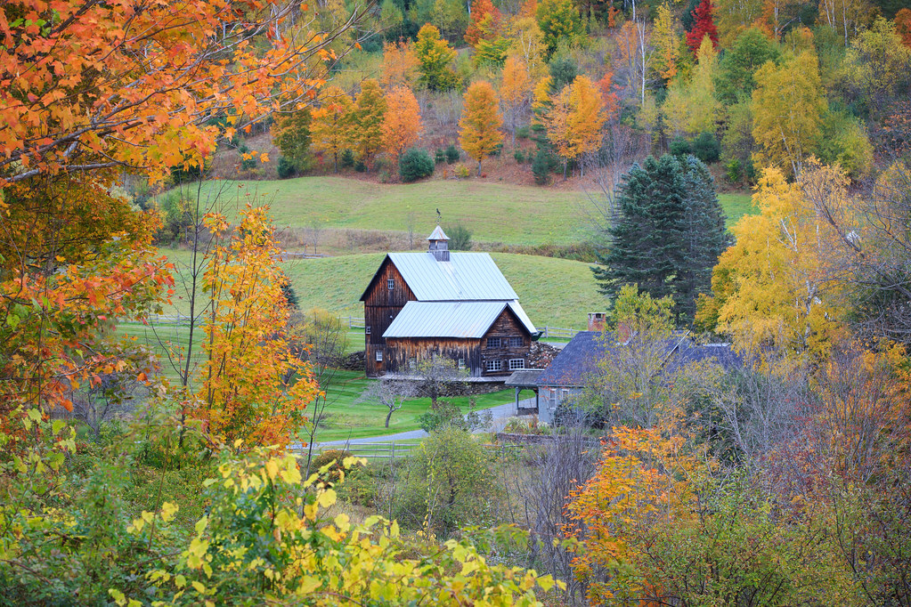
Foliage Frame

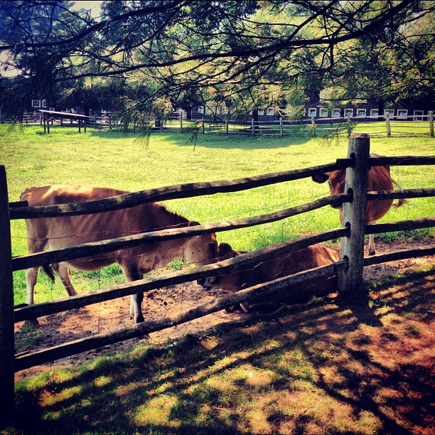
Sugarbush Farm

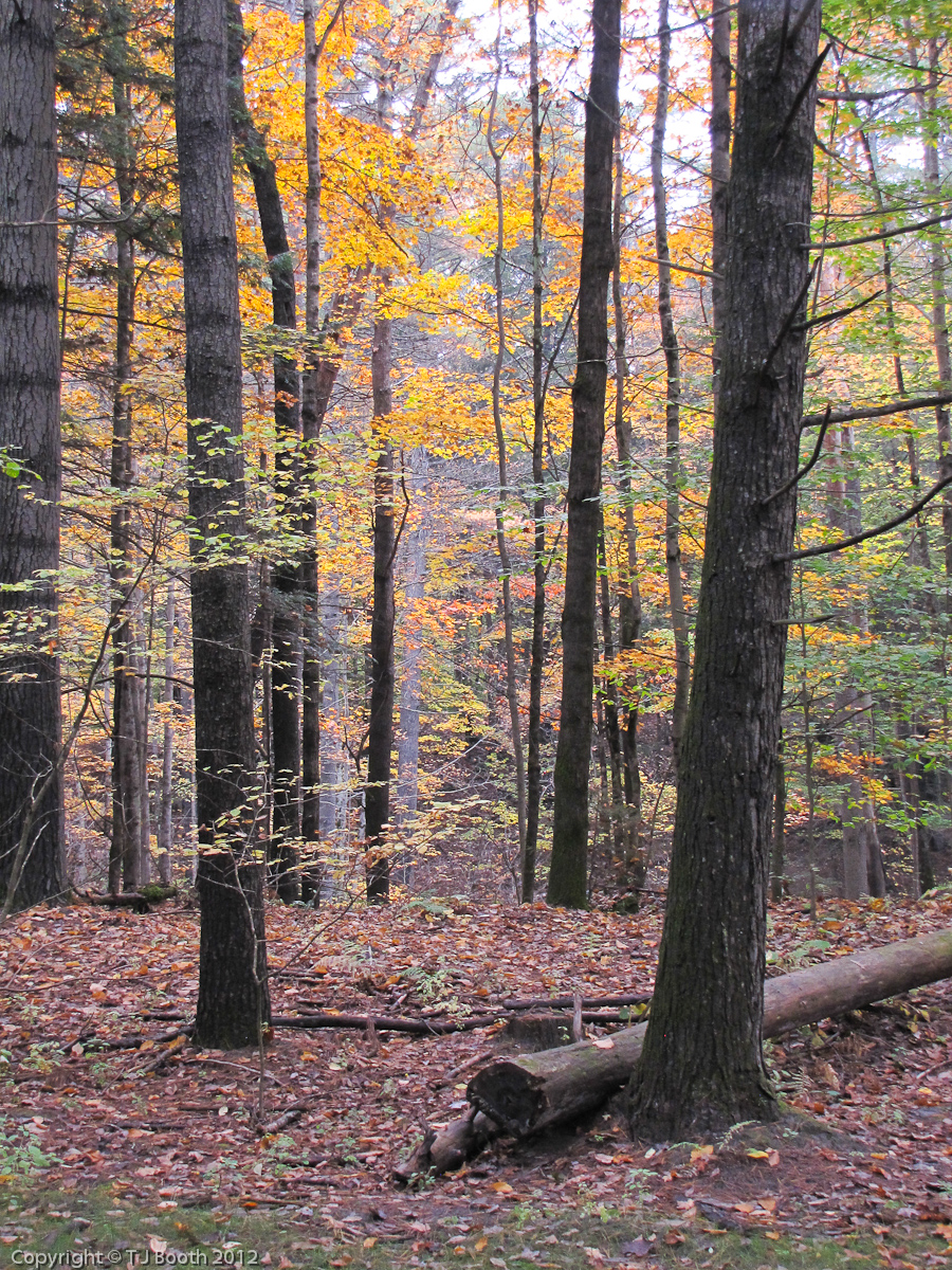
Autunm in Vermont

The Light at the End of the Tunnel

ICM Fall Colors
View From the Apple Hill Inn

[... sleepy hollow farm]
View from the South
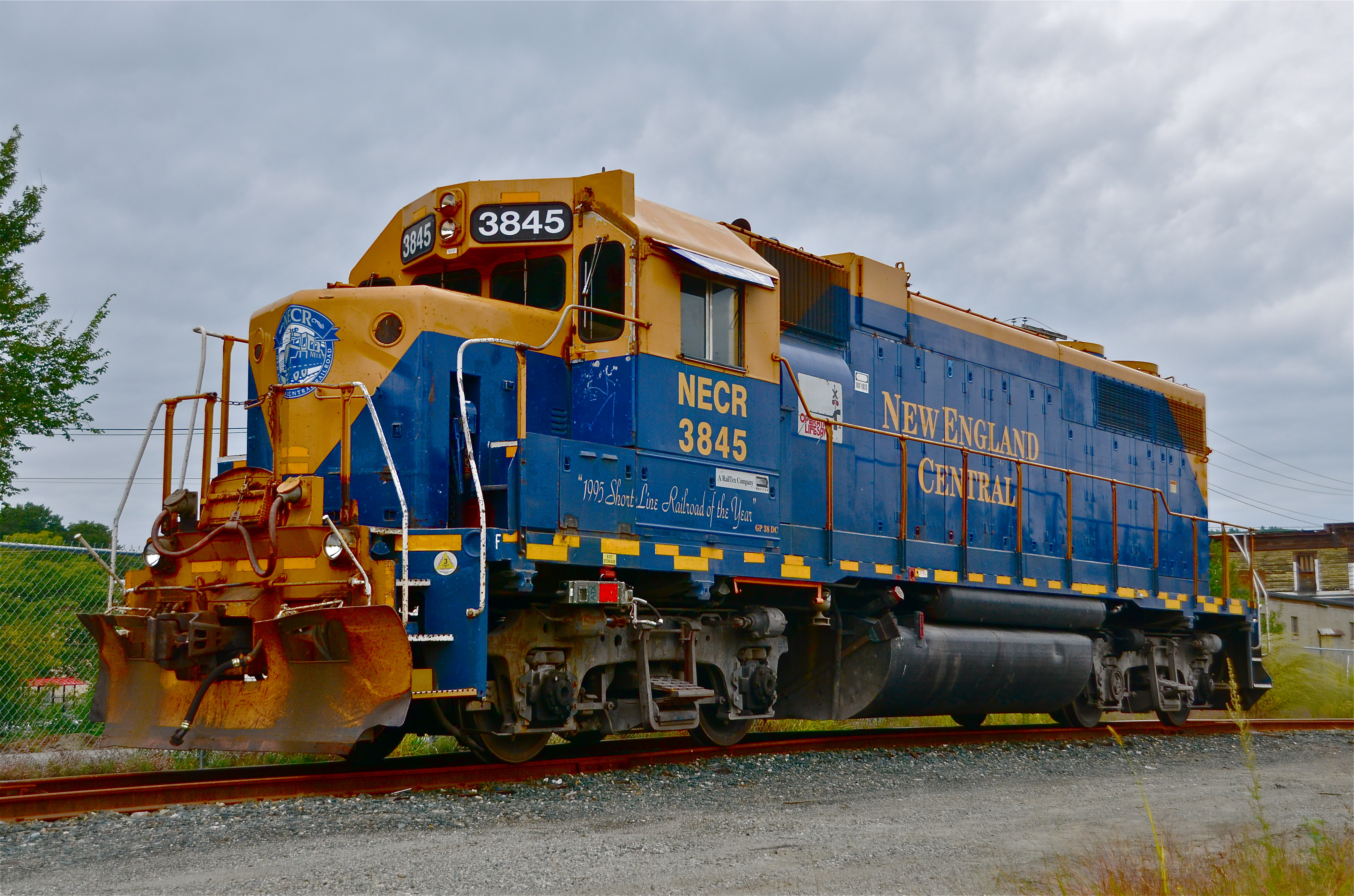
3/4 view of of NECR 3845
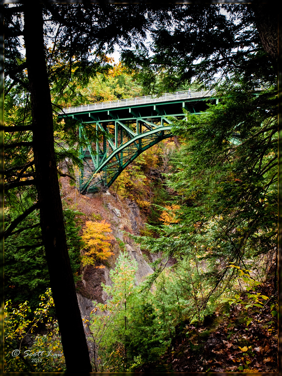
Bridge Over Quechee Gorge

winter light, winter ice

Dawn in Quechee

Ex-CN GP40-2L(W)'s near and far
Views From the Green

Views From the Green
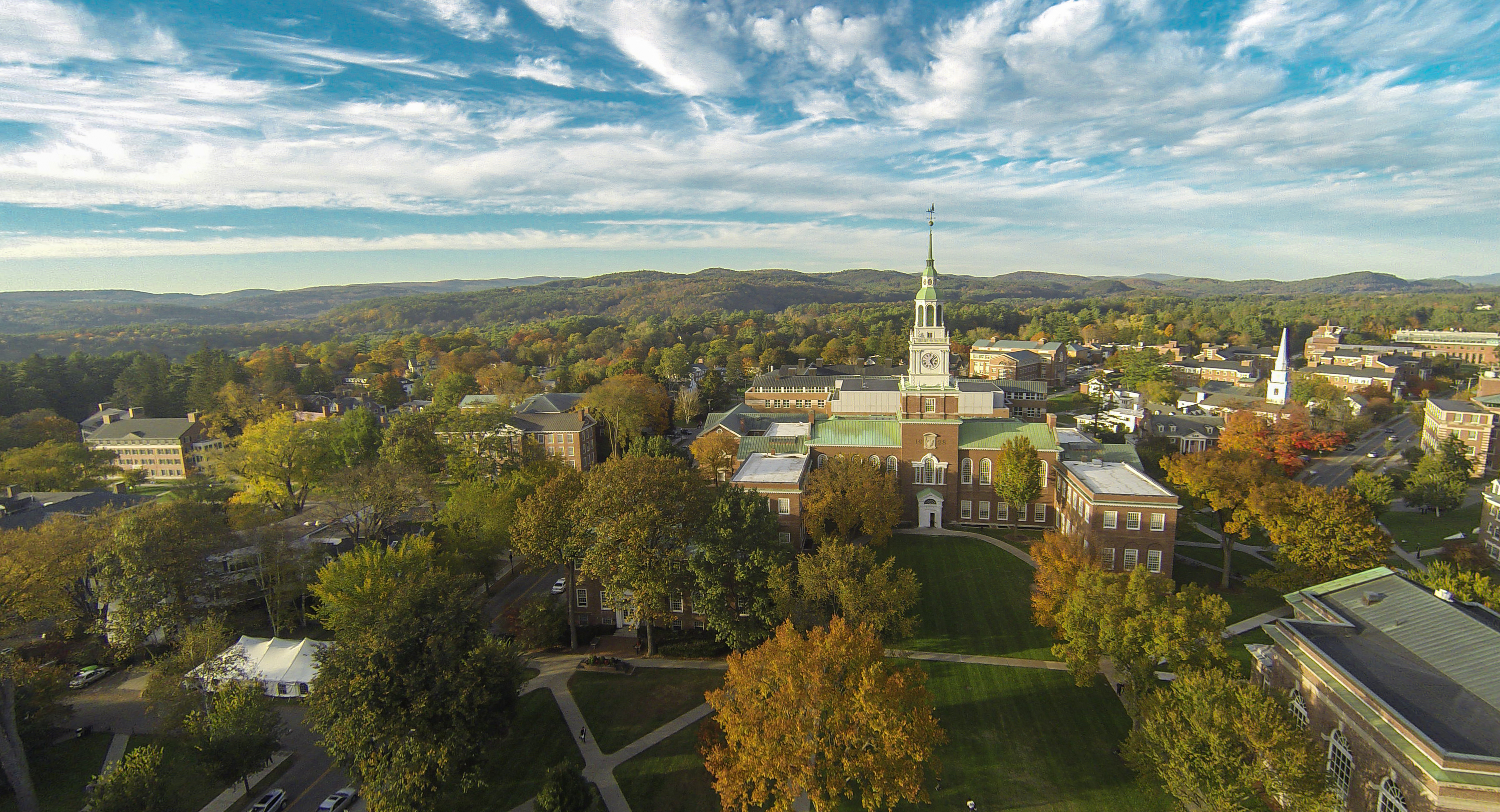
Aerial View of Dartmouth

A view across the Green on April 22, 2011

Moon Rising Over Baker Tower

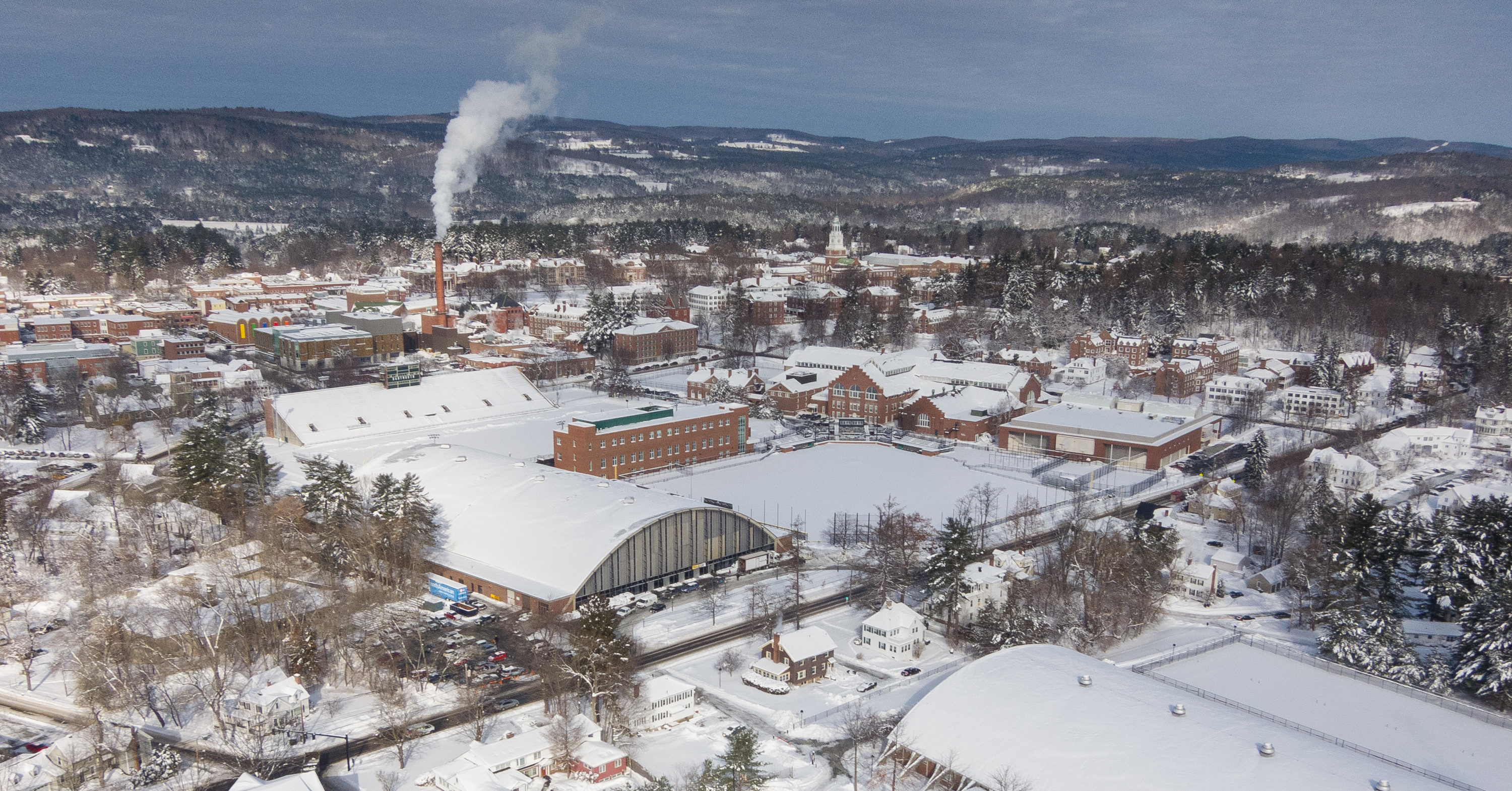
Views From the Green, 3/9/15

Views From the Green

Views From the Green
The hills were alive...

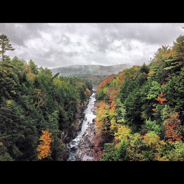
Quechee Gorge

Famous Autumn Farm

HIP_313783584.287002
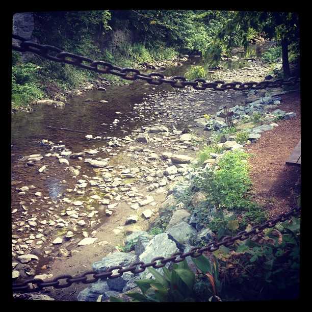
Let's have a quechee

HIP_313783455.255393
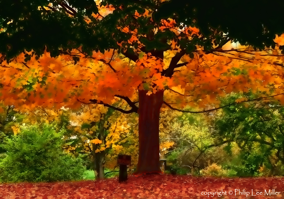
Grandfather Maple Tree

HIP_313783651.644859
New friends #minimoon

Crossing Boundaries

Totally digging the light this morning...
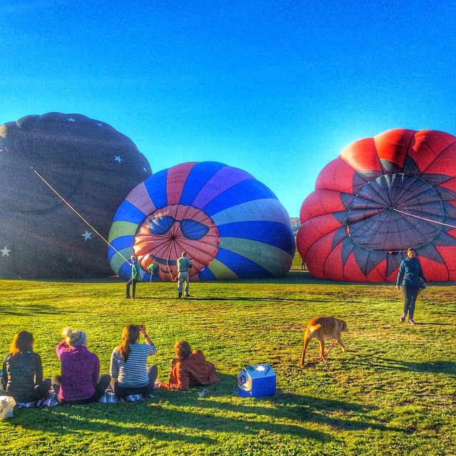
#inflation of the #hotairballoons #Vermont #scenesofnewengland #theamericancollective #igvermont #greenmountainstate
We ate here across from the post office #vermont #woodstock
Quechee Gorge

HVAR0378.jpg

Dartmouth on Instagram

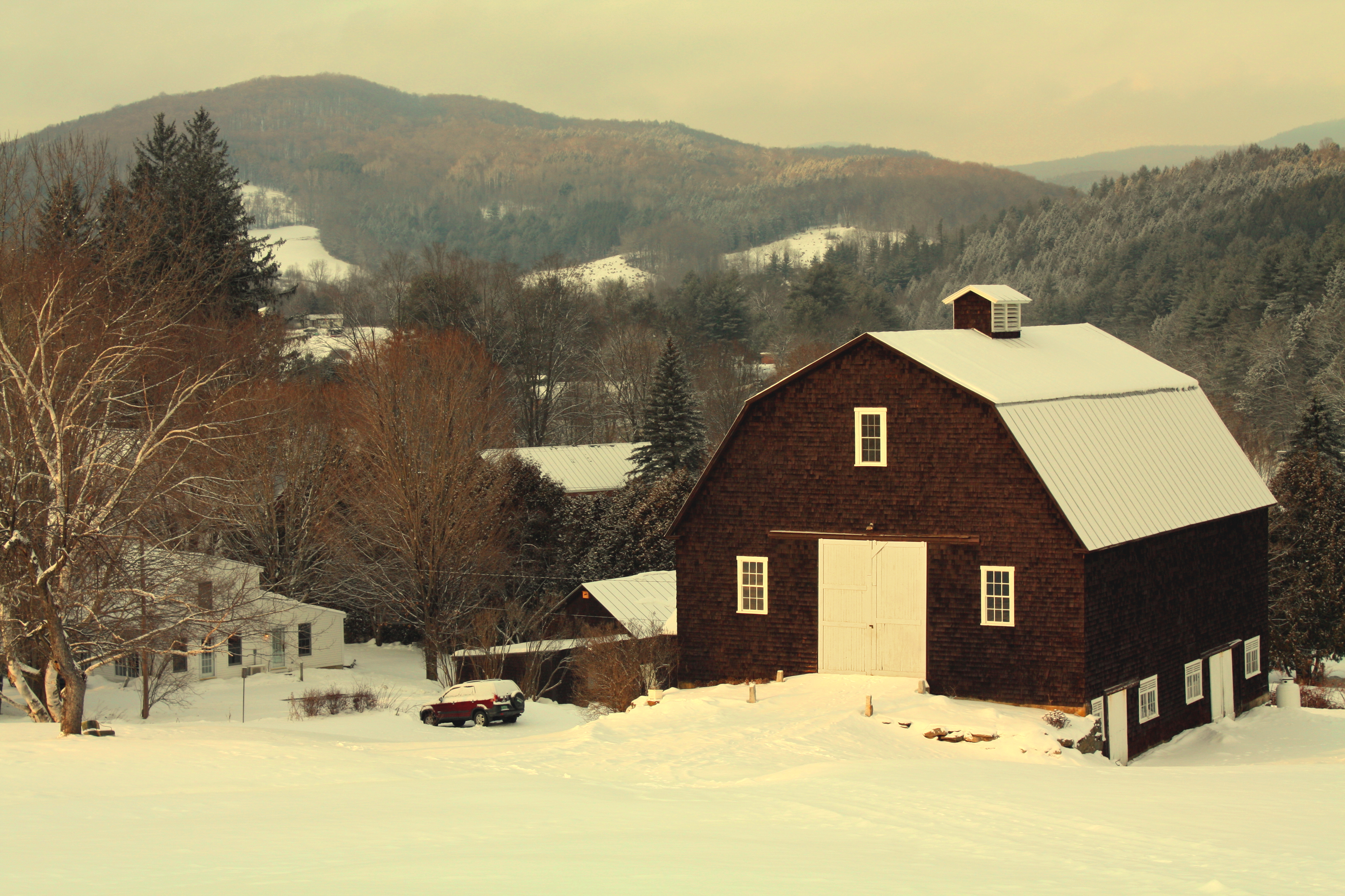
Photos of the Year 2013 ~ Sleepy Hollow Farm, Woodstock, VT (Explore #34)
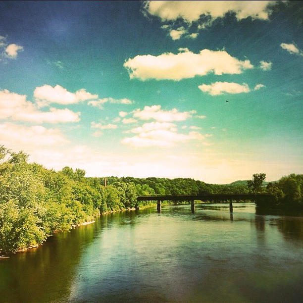
The Connecticut River between West Lebanon...
Topographic Map of Hartford, VT, USA
Find elevation by address:

Places in Hartford, VT, USA:
Places near Hartford, VT, USA:
1350 Vt-14
259 Aster Dr
76 Aster Dr
744 Campbell St
Fox Lane
Maple St, White River Junction, VT, USA
2263 Jericho St
Vermont State Housing Authorty
149 Natures Way
1087 Connecticut River Rd
Quechee Gorge
Quechee
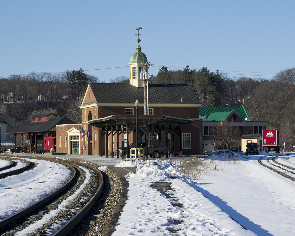
White River Junction
95 S Main St
249 John Hazen Ln
138 Grout Rd
586 Quechee-hartland Rd
West Lebanon
Tracy Street
22 Apple Blossom Dr
Recent Searches:
- Elevation of Corso Fratelli Cairoli, 35, Macerata MC, Italy
- Elevation of Tallevast Rd, Sarasota, FL, USA
- Elevation of 4th St E, Sonoma, CA, USA
- Elevation of Black Hollow Rd, Pennsdale, PA, USA
- Elevation of Oakland Ave, Williamsport, PA, USA
- Elevation of Pedrógão Grande, Portugal
- Elevation of Klee Dr, Martinsburg, WV, USA
- Elevation of Via Roma, Pieranica CR, Italy
- Elevation of Tavkvetili Mountain, Georgia
- Elevation of Hartfords Bluff Cir, Mt Pleasant, SC, USA