Elevation of Harrison Township, OH, USA
Location: United States > Ohio > Champaign County >
Longitude: -83.8366958
Latitude: 40.2368285
Elevation: 334m / 1096feet
Barometric Pressure: 0KPa
Related Photos:

Douglas A-26C Invader (44-35948 - N381EC - C-GHLX) In the Bomb Bay
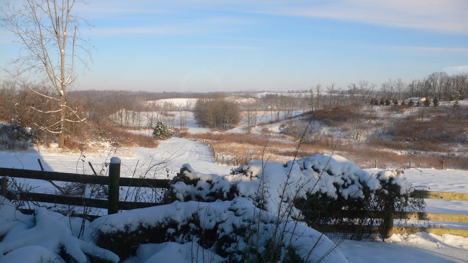
The view in winter.
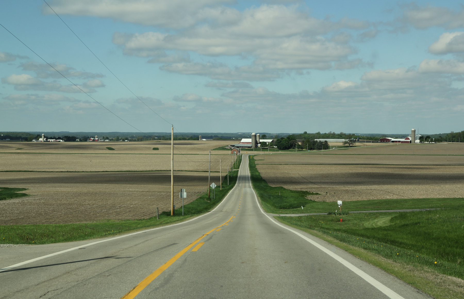
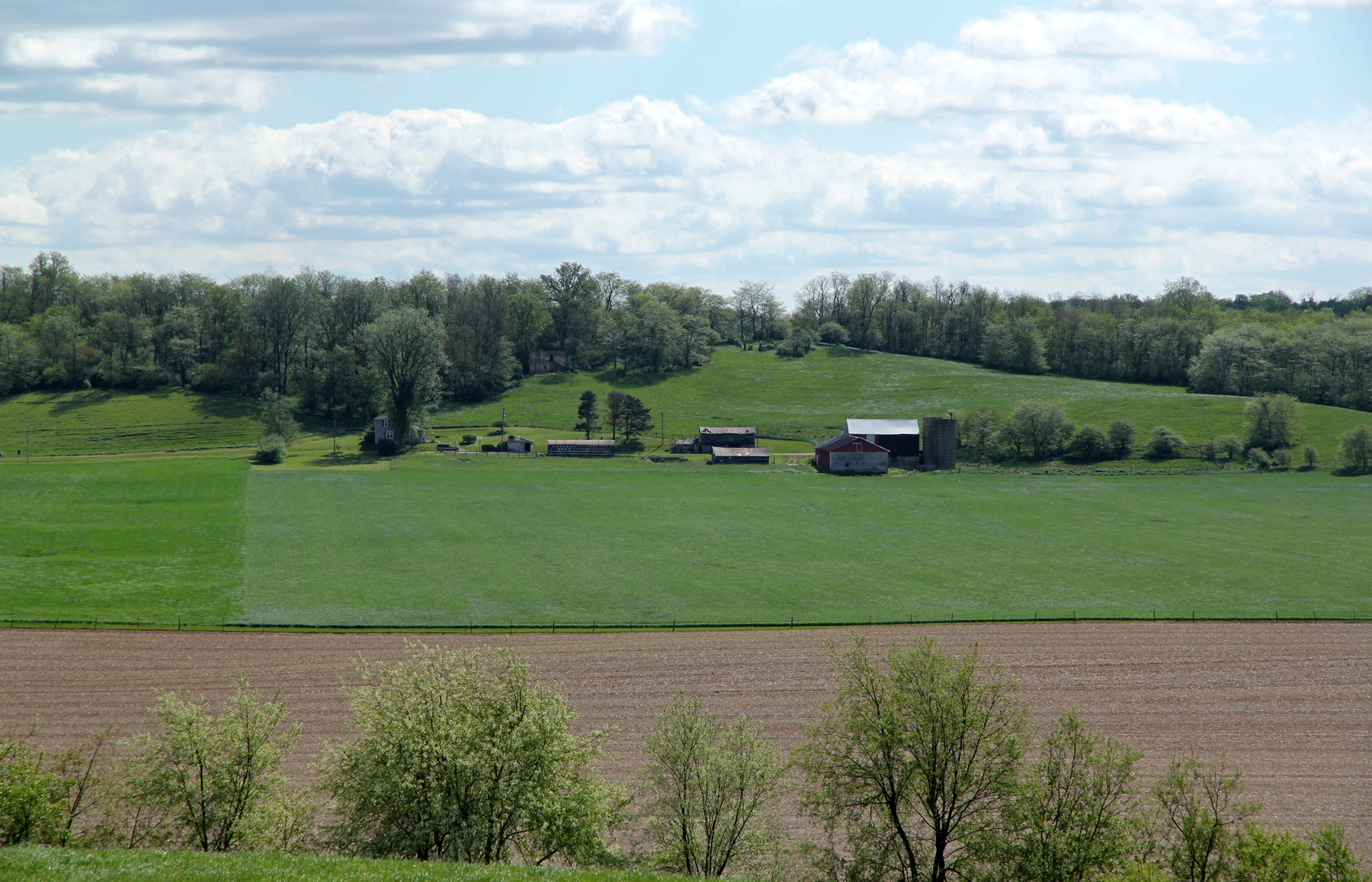
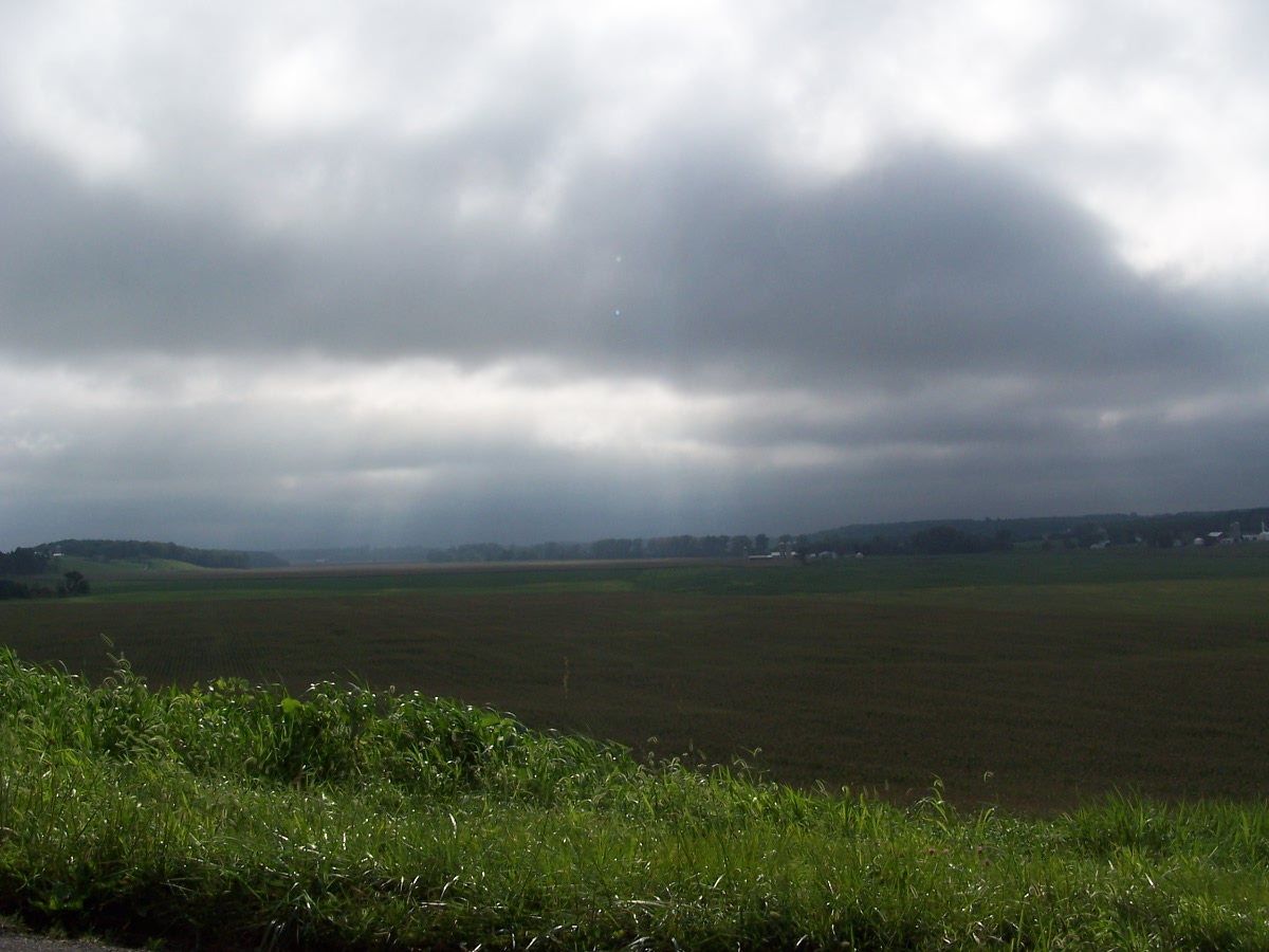
Farmland — Salem Township, Champaign County, Ohio
Douglas A-26C Invader (44-35948 - N381EC - C-GHLX) Bomb Bay and Flight Deck

Boeing B-17G Champaign Lady (44-85813) (N3154S) Forward Section
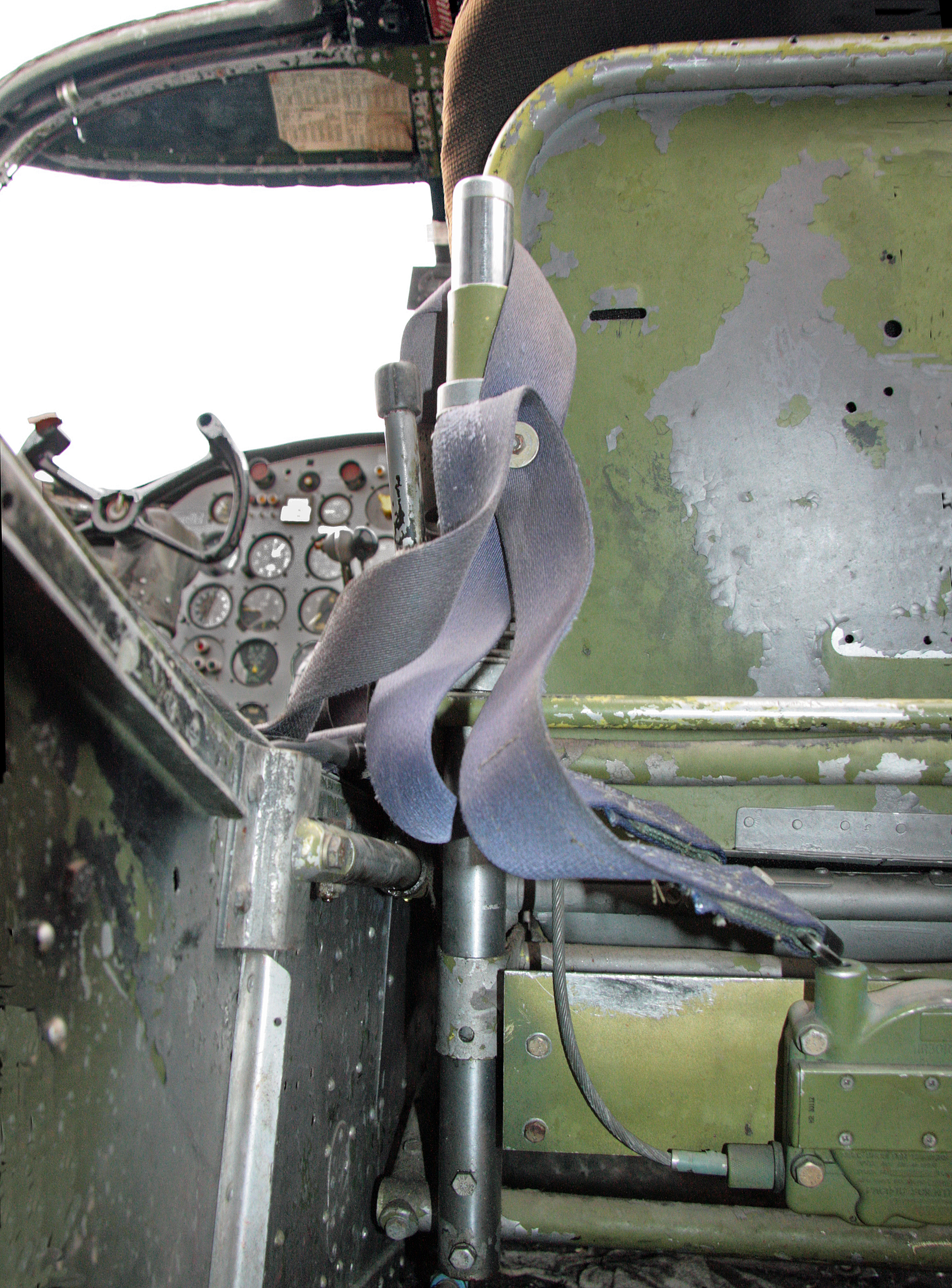
Douglas C-47A (N105CA) (44-48456) From B-17G
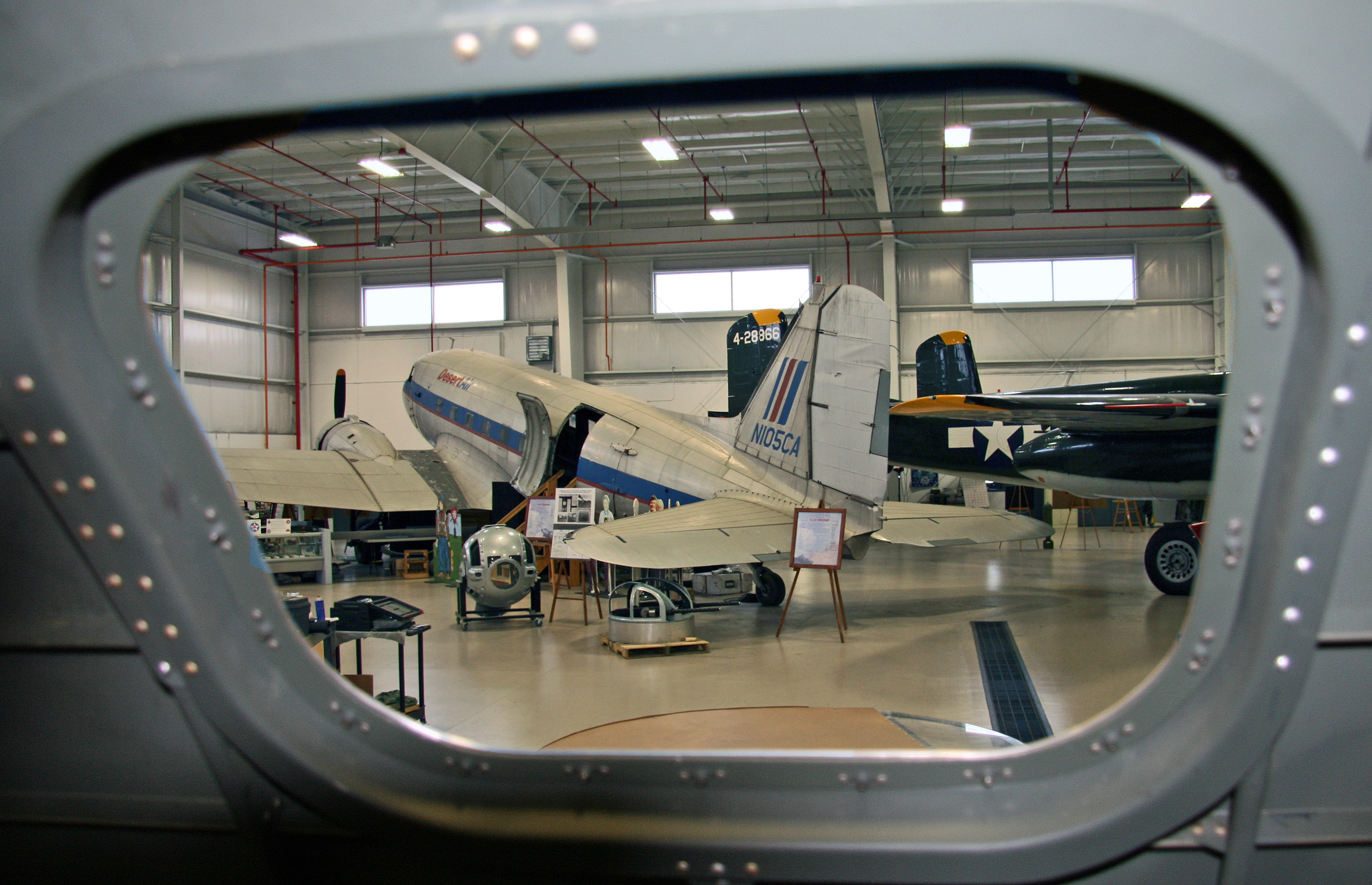
Douglas C-47A (N105CA) (44-48456) From B-17G b

Douglas A-26C Invader (44-35948 - N381EC - C-GHLX) Bomb Bay
Kiser Lake State Park
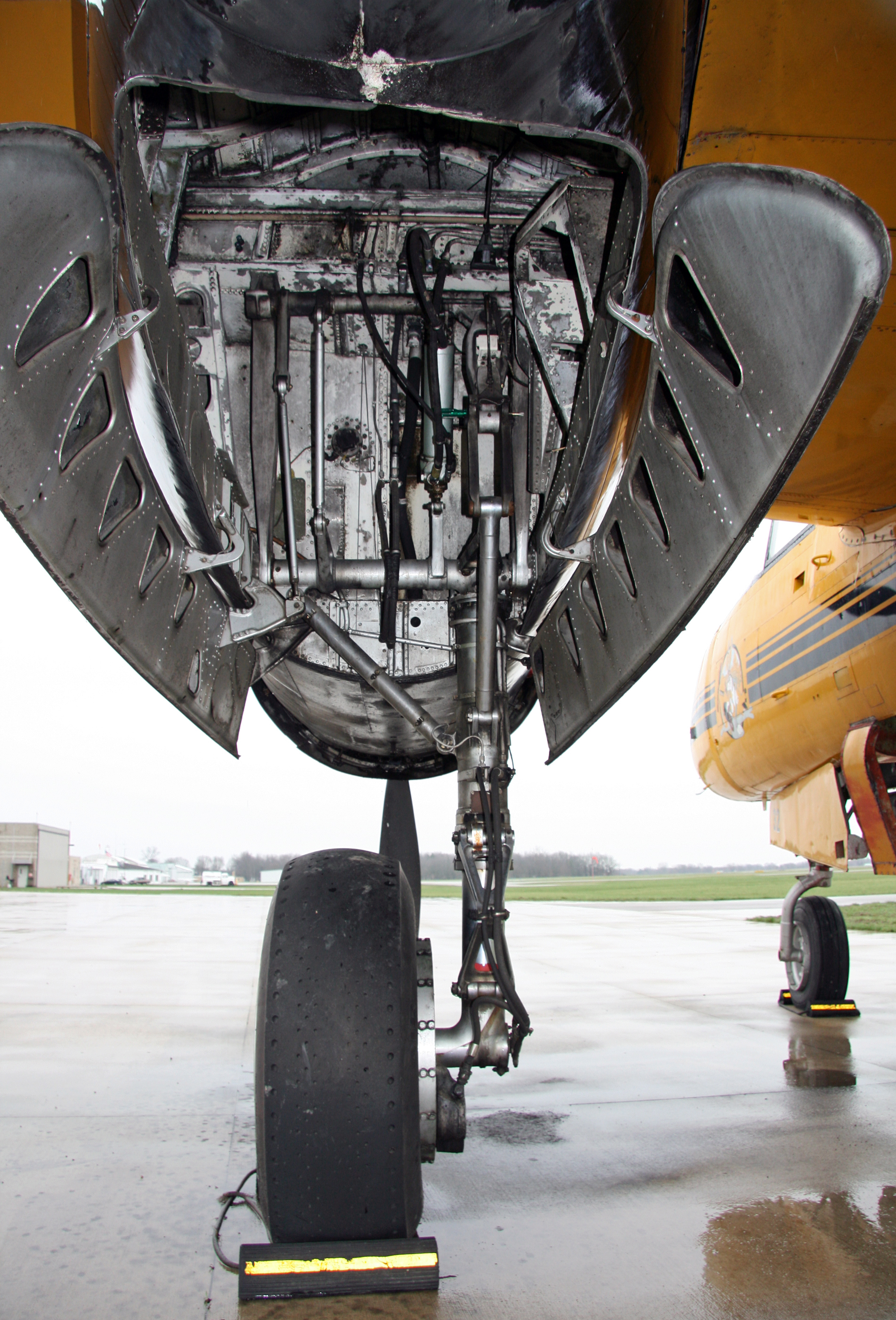
Douglas A-26C Invader (44-35948 - N381EC - C-GHLX) Main Wheel Well

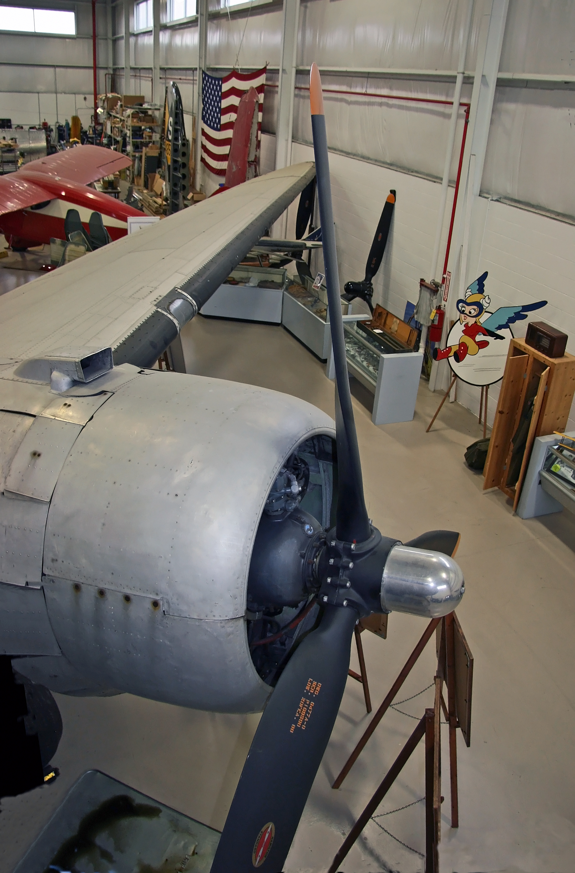
Douglas C-47B - DC-3C (N105CA) (44-48456)Tail View

View to City Hall.
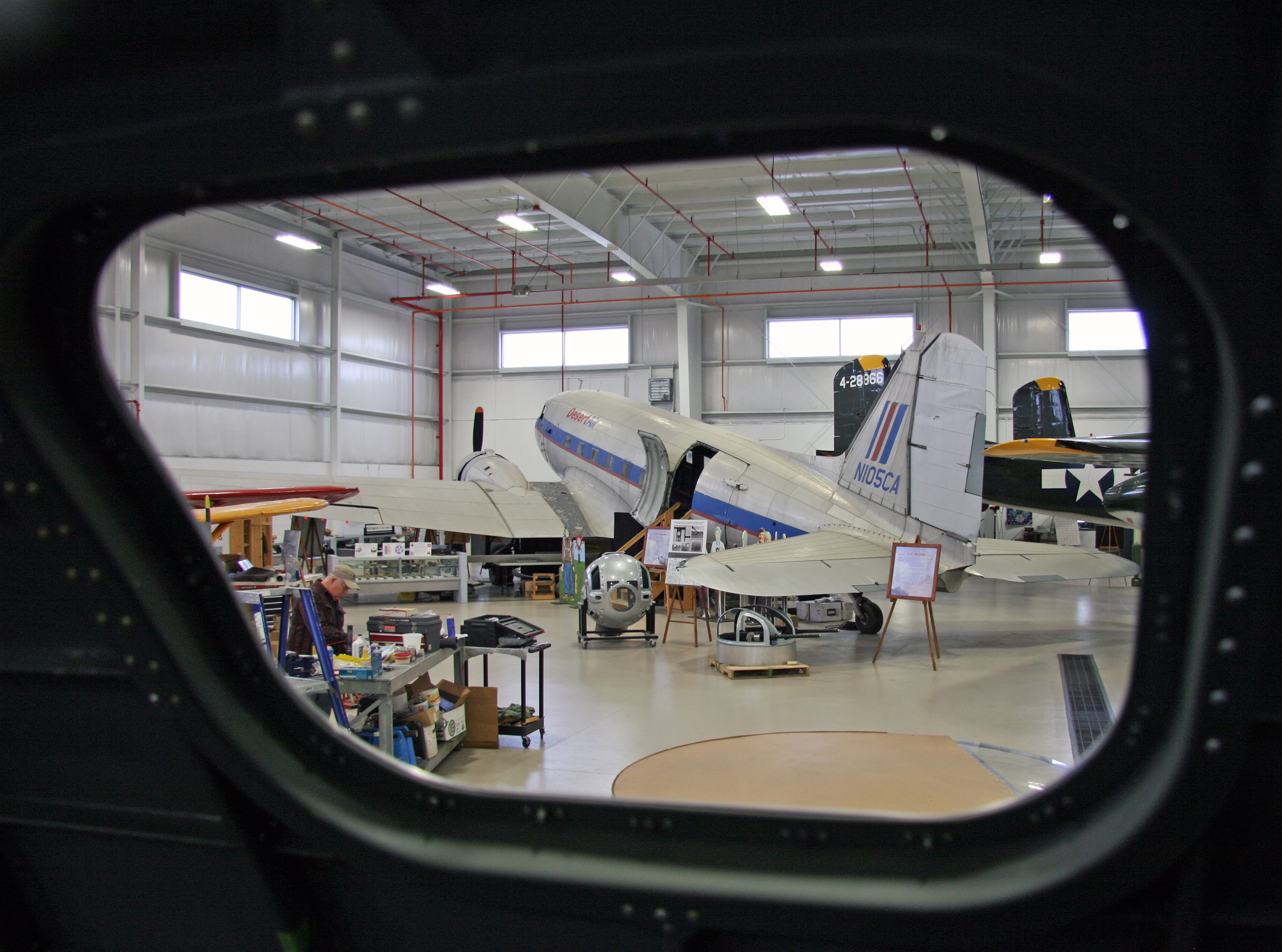
Douglas C-47B - DC-3C (N105CA) (44-48456) Cockpit Window View

Douglas C-47B - DC-3C (N105CA) (44-48456) Cockpit Nose View

Southern Blue Flag Iris (Iris Virginica var. shrevei)
Lapham-Talbott Farm — Salem Township, Champaign County, Ohio

Oldest Concrete Street in America 1-46
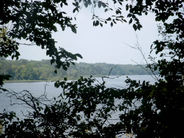
Kiser Lake State Park
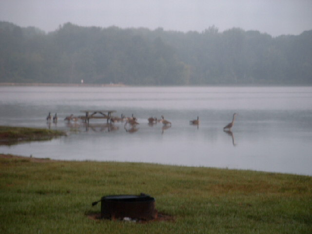
Kiser Lake State Park
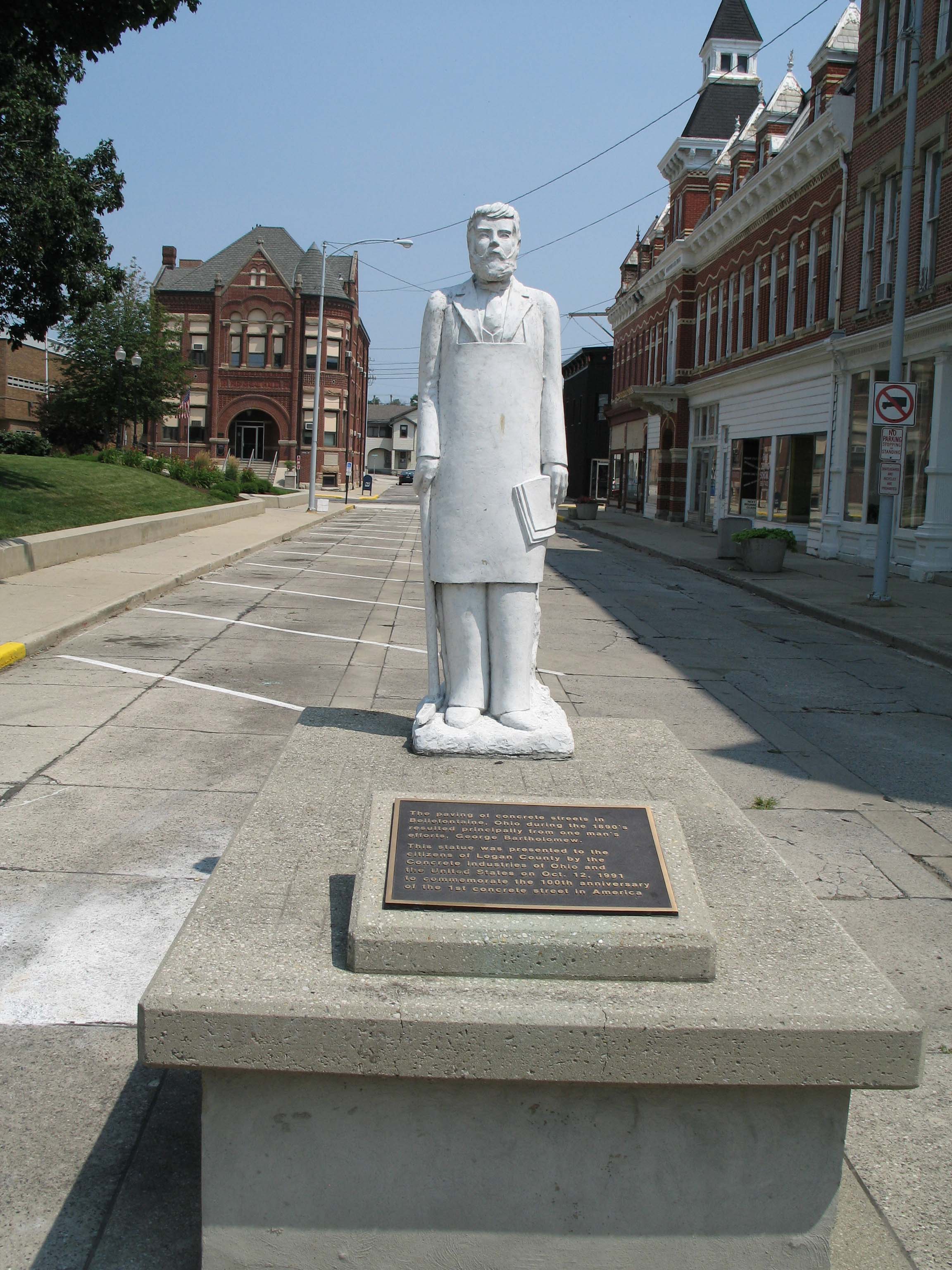
George Bartholomew, 1st concrete street paver, courthouse square, Bellefontaine, Ohio
DSC_6598.jpg

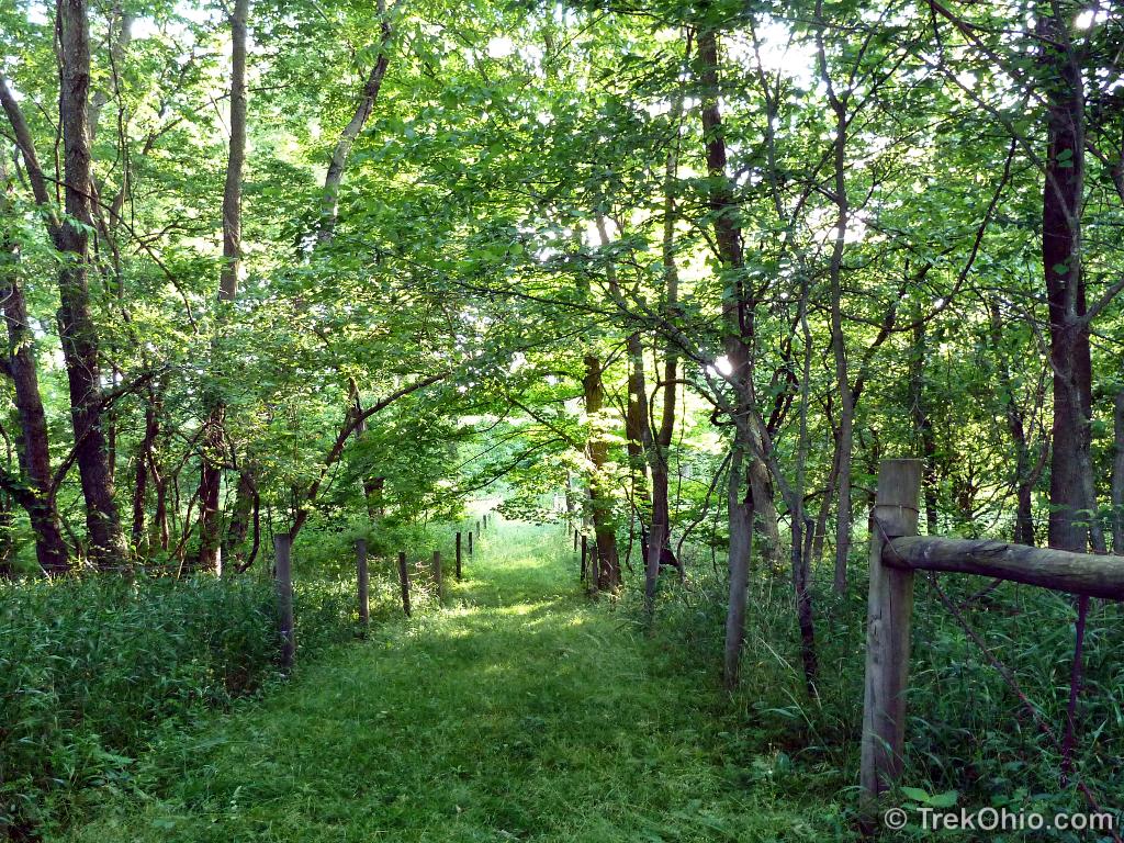
Autumn's Canopy
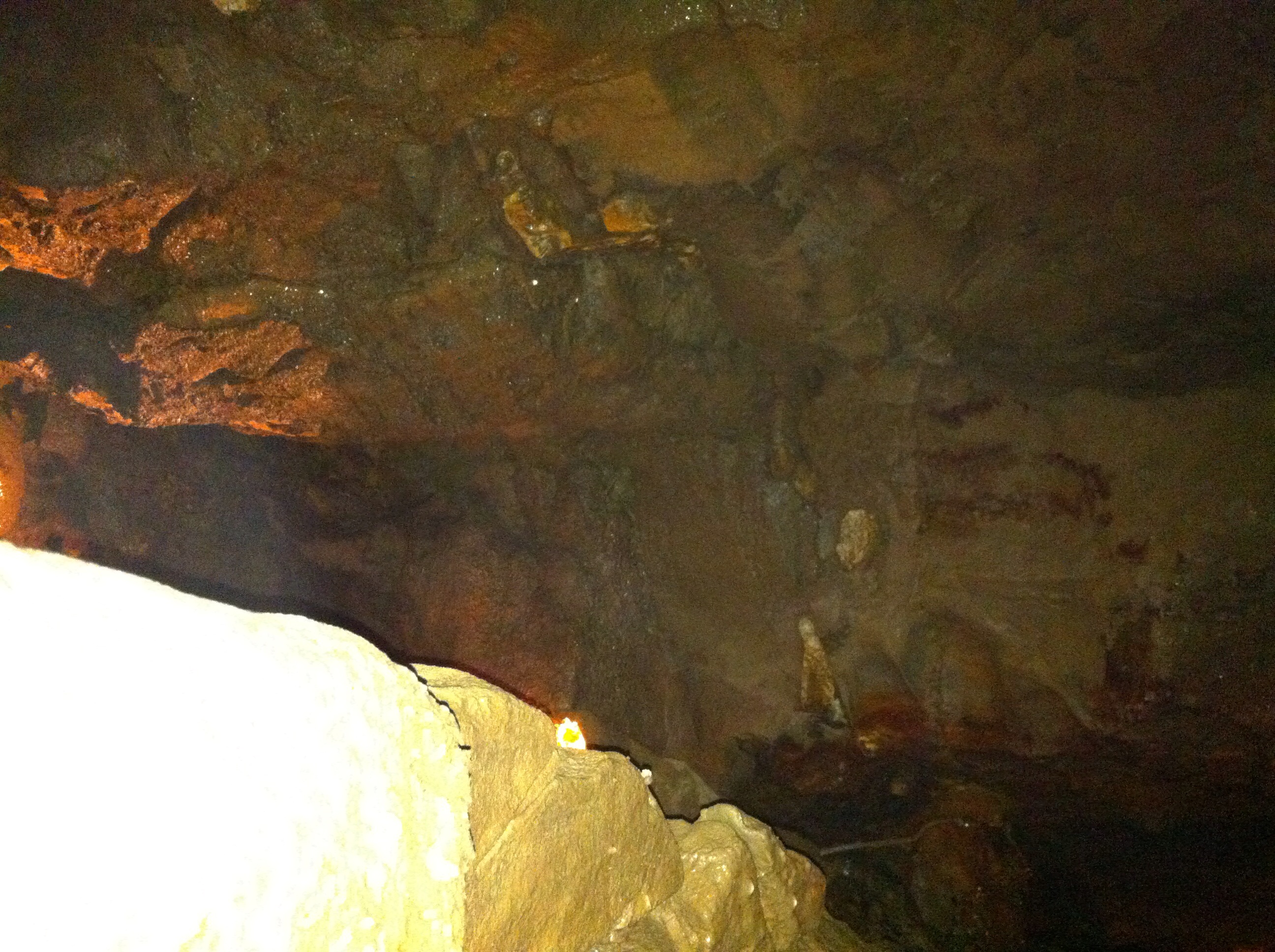
Ohio Caverns

Kiser Lake State Park

Kiser Lake State Park

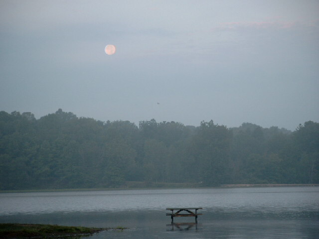
Sunset Kaiser Lake

Autumn Stream

Lonely Dandelion
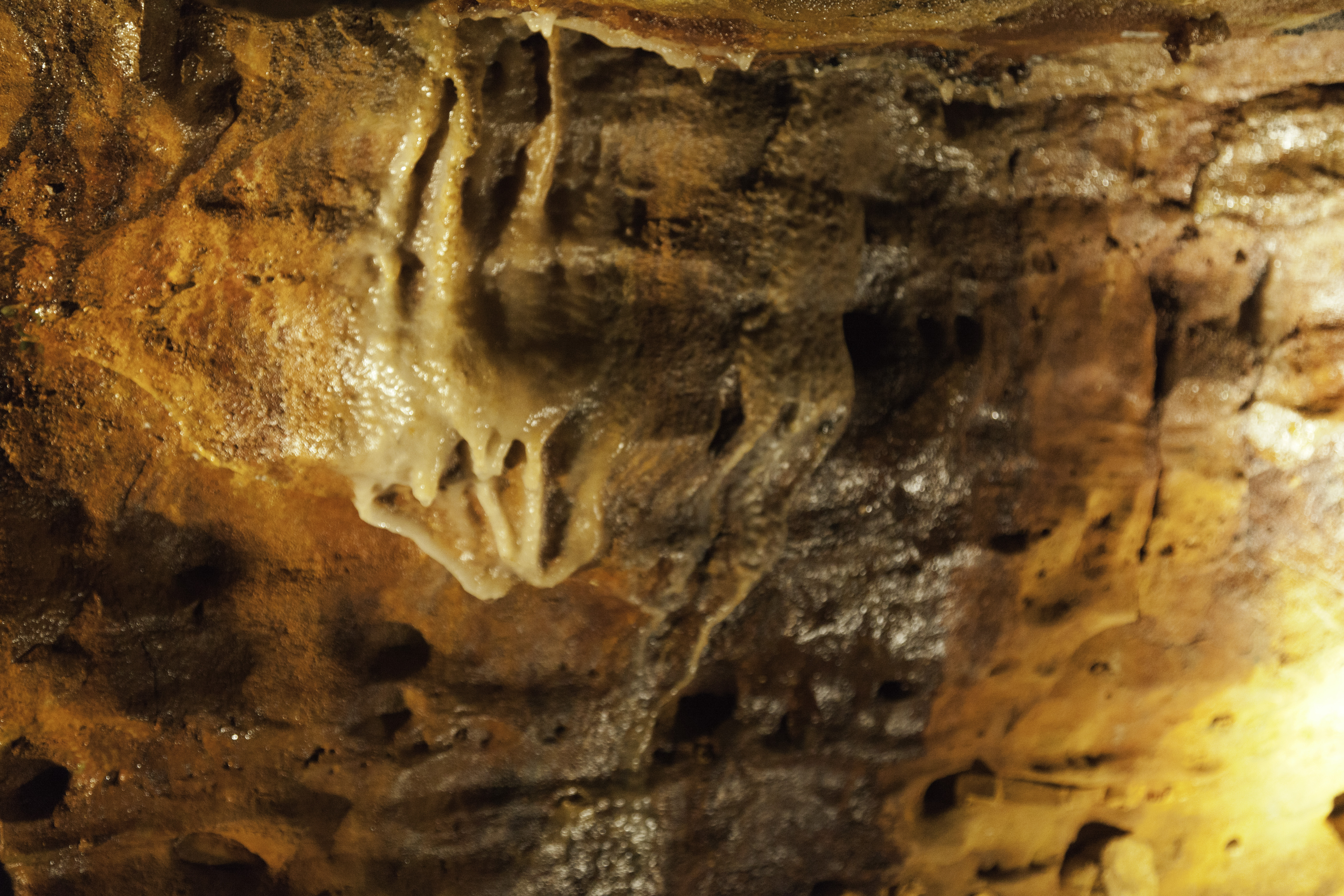
Ohio Caverns Photo Tour
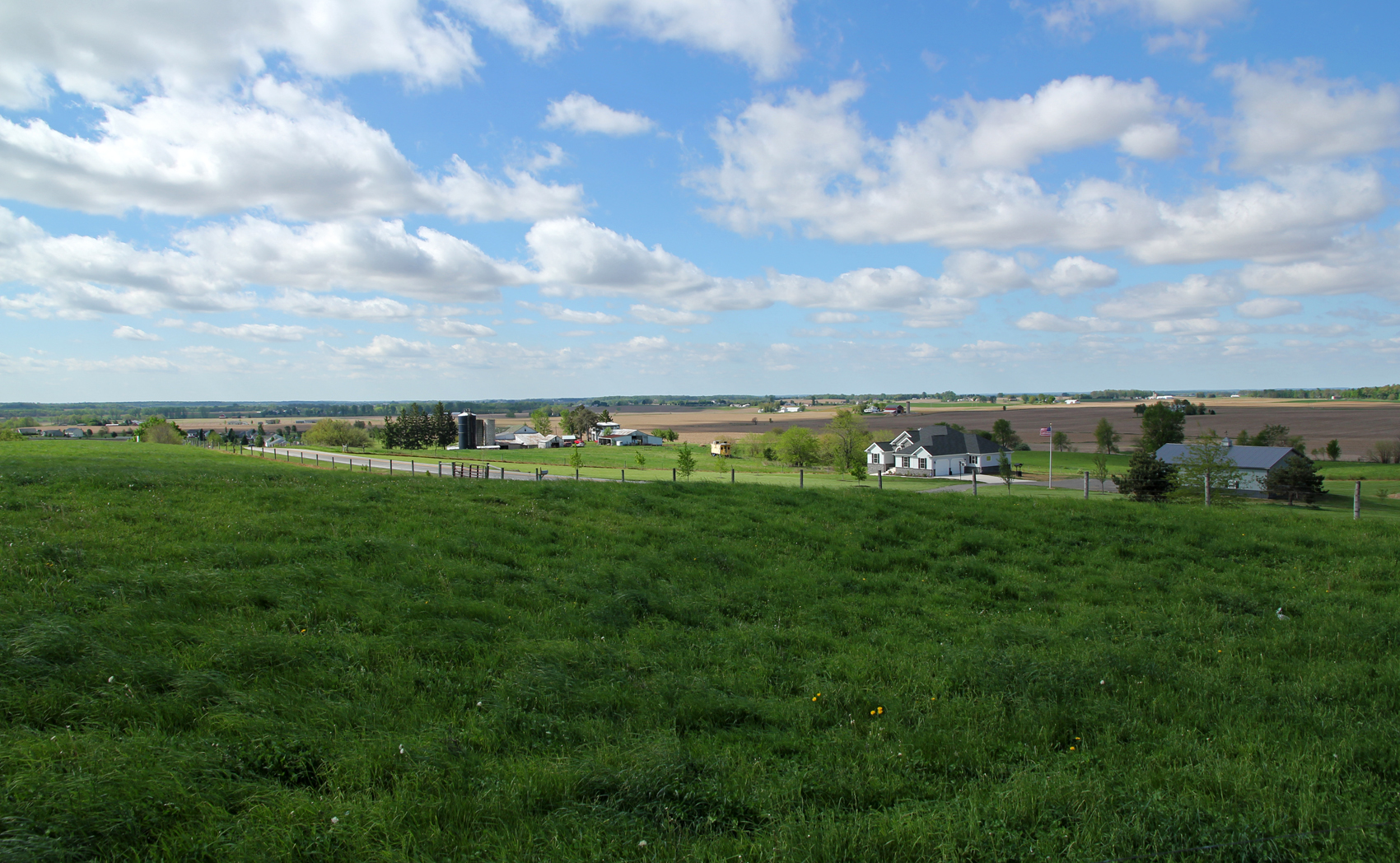
Farmland — Salem Township, Champaign County, Ohio
Kiser Lake State Park

Ohio Caverns 30

Alana solos down the bunny hill

West Liberty-Salem vs Dayton Christian
Siegenthaler-Kaestner Esker: Almost at the esker
Cloudy Valley

West Liberty-Salem vs Dayton Christian

Ohio Caverns

Ohio Caverns
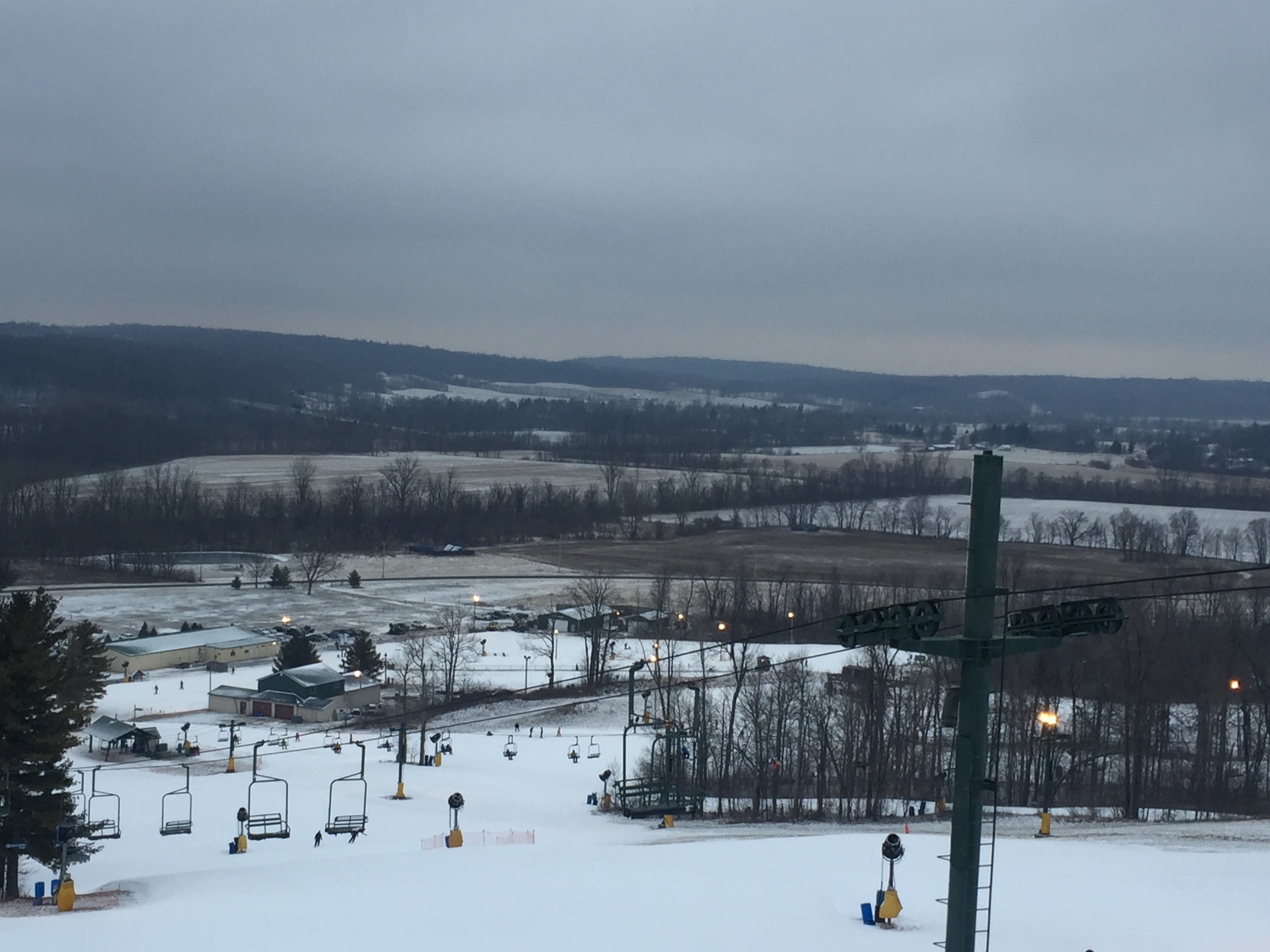
From the Ski Lift
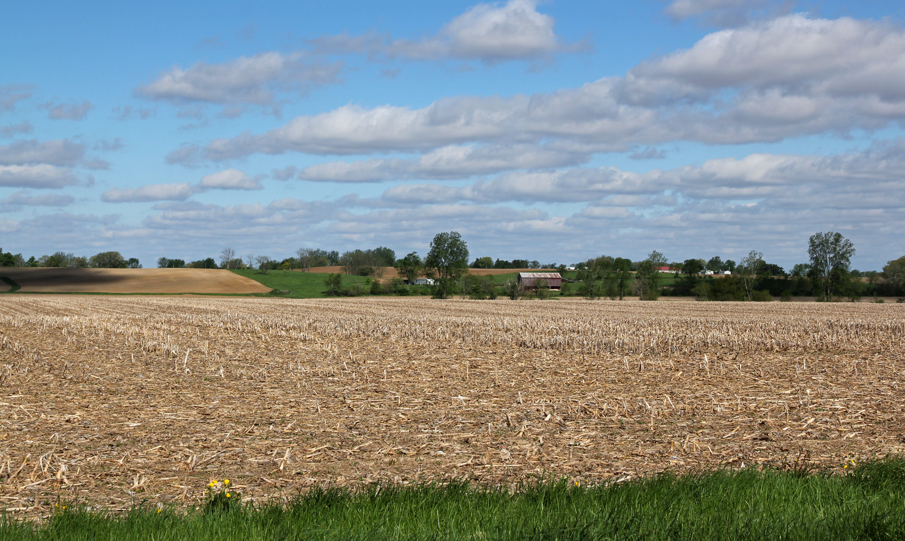
Farmland — Salem Township, Champaign County, Ohio
Topographic Map of Harrison Township, OH, USA
Find elevation by address:

Places in Harrison Township, OH, USA:
Places near Harrison Township, OH, USA:
Couchman Road
9160 Hite Rd
W State Route 29, Urbana, OH, USA
West Liberty
Salem Township
668 Mennonite Church Rd
Mcclain Road
N Heck Hill Rd, St Paris, OH, USA
3600 Ford Rd
76 OH-, Urbana, OH, USA
Kiser Lake Marina
Kingscreek
5527 Game Farm Rd
Johnson Township
E Kingscreek Rd, Urbana, OH, USA
Champaign County
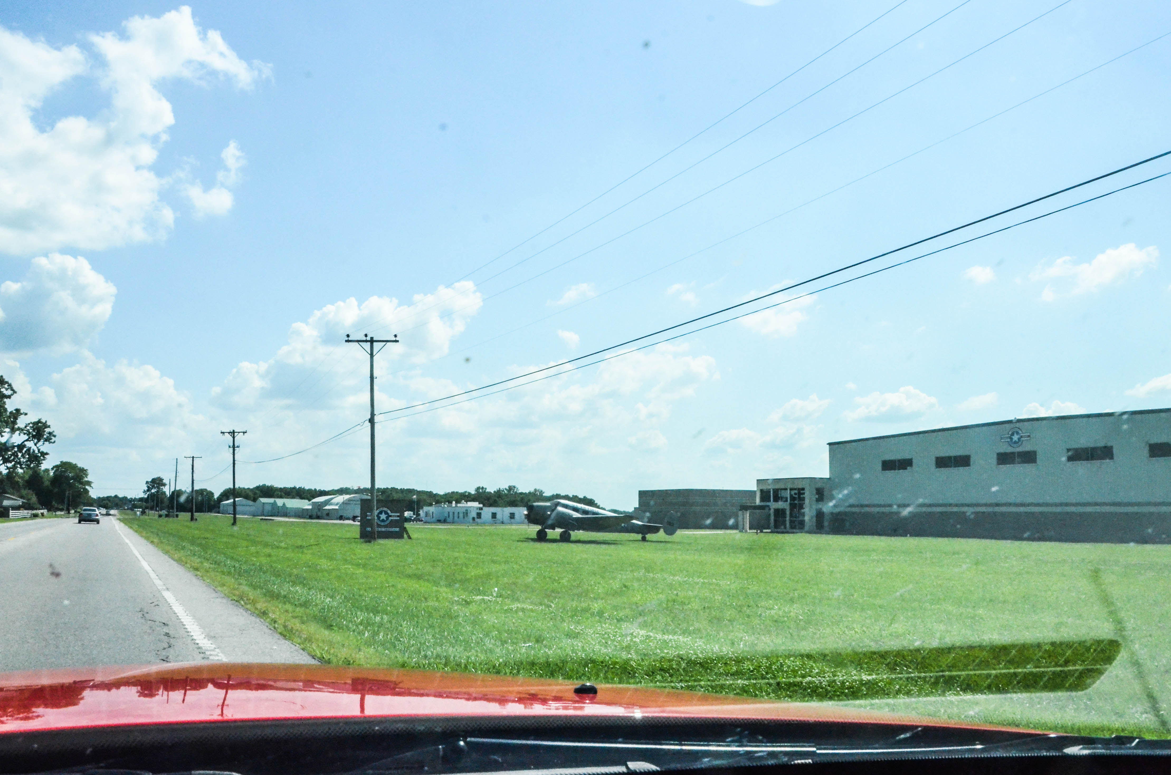
Ohio Caverns - Open All Year
Mount Tabor Church
N Main St, Urbana, OH, USA
Urbana
Recent Searches:
- Elevation map of Greenland, Greenland
- Elevation of Sullivan Hill, New York, New York, 10002, USA
- Elevation of Morehead Road, Withrow Downs, Charlotte, Mecklenburg County, North Carolina, 28262, USA
- Elevation of 2800, Morehead Road, Withrow Downs, Charlotte, Mecklenburg County, North Carolina, 28262, USA
- Elevation of Yangbi Yi Autonomous County, Yunnan, China
- Elevation of Pingpo, Yangbi Yi Autonomous County, Yunnan, China
- Elevation of Mount Malong, Pingpo, Yangbi Yi Autonomous County, Yunnan, China
- Elevation map of Yongping County, Yunnan, China
- Elevation of North 8th Street, Palatka, Putnam County, Florida, 32177, USA
- Elevation of 107, Big Apple Road, East Palatka, Putnam County, Florida, 32131, USA
- Elevation of Jiezi, Chongzhou City, Sichuan, China
- Elevation of Chongzhou City, Sichuan, China
- Elevation of Huaiyuan, Chongzhou City, Sichuan, China
- Elevation of Qingxia, Chengdu, Sichuan, China
- Elevation of Corso Fratelli Cairoli, 35, Macerata MC, Italy
- Elevation of Tallevast Rd, Sarasota, FL, USA
- Elevation of 4th St E, Sonoma, CA, USA
- Elevation of Black Hollow Rd, Pennsdale, PA, USA
- Elevation of Oakland Ave, Williamsport, PA, USA
- Elevation of Pedrógão Grande, Portugal