Elevation of Harrai, Madhya Pradesh, India
Location: India > Madhya Pradesh > Chhindwara >
Longitude: 79.2212697
Latitude: 22.6241545
Elevation: 592m / 1942feet
Barometric Pressure: 94KPa
Elevation Map:
Satellite Map:
Related Photos:

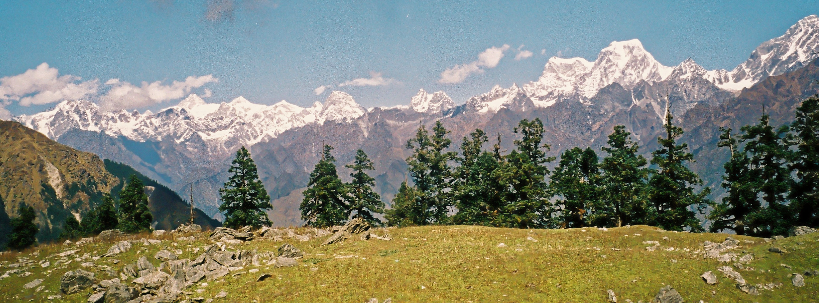
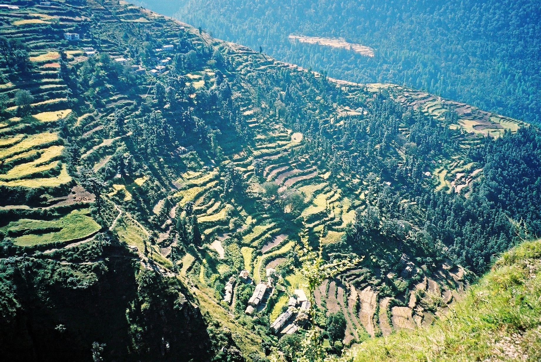
F1030032_DxO

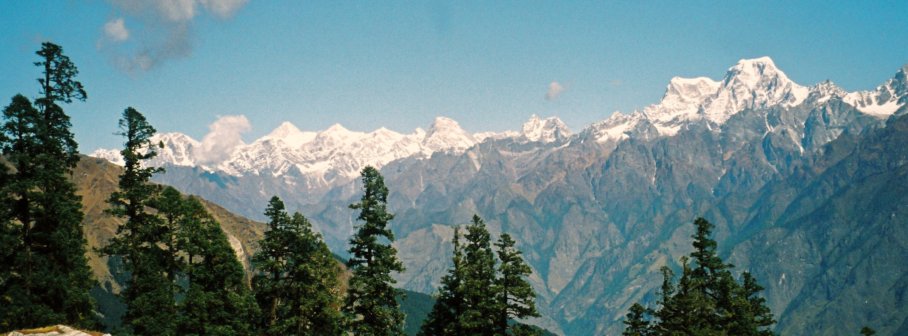
F1030030_DxO
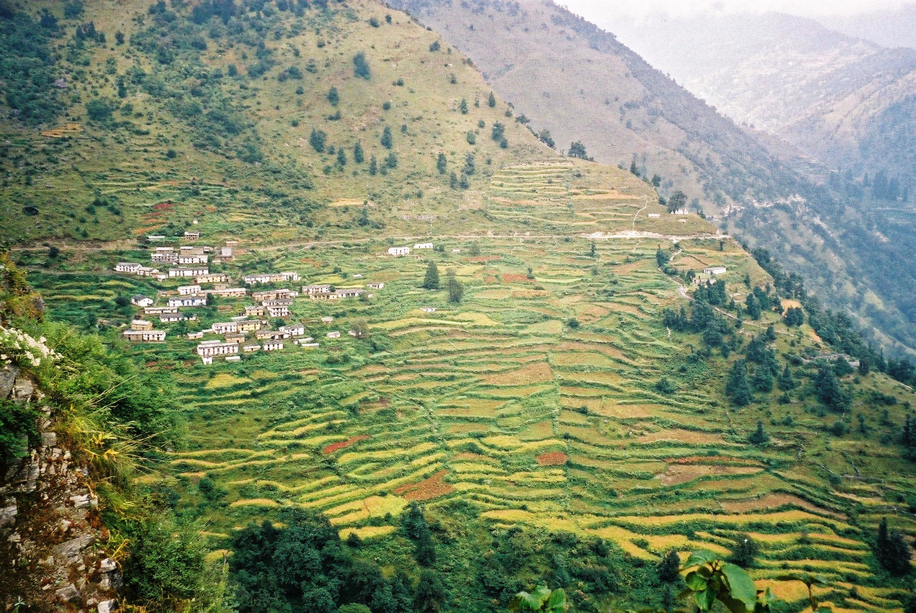
F1060010_DxO
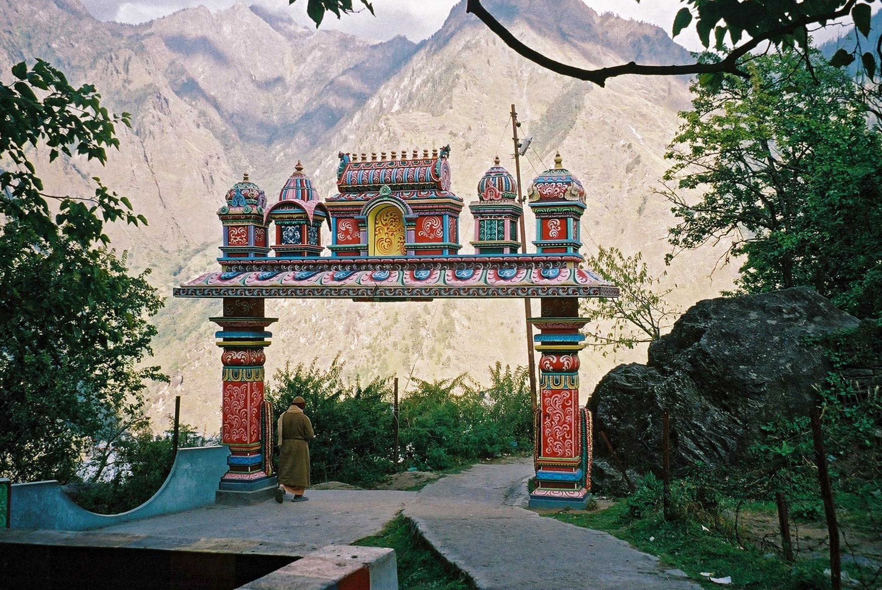
F1060006_DxO
F1020026_DxO

vs0180_DxO

vs0127_DxO
F1070002_DxO

F1070001_DxO
F1090037_DxO

F1090032_DxO

F1090031_DxO

F1090027_DxO
F1090025_DxO
F1090023_DxO
F1090022_DxO
F1090013_DxO
F1090010_DxO
F1080028_DxO

F1080024_DxO

F1080019_DxO

F1080013_DxO
F1080012_DxO
F1080011_DxO
Topographic Map of Harrai, Madhya Pradesh, India
Find elevation by address:

Places near Harrai, Madhya Pradesh, India:
Narsinghpur
Narsinghpur
Kareli
Lakhnadon
Beetali
Chhota Chhindwara
Gadarwara
Suatala
Dhanora
Ghansor
Bargi Dam
Bheda Ghat
Bhedaghat Water Fall
Cantt
Gurudwara Marahatal
Marhatal
Jabalpur
Jabalpur
Damoh
Recent Searches:
- Elevation of Corso Fratelli Cairoli, 35, Macerata MC, Italy
- Elevation of Tallevast Rd, Sarasota, FL, USA
- Elevation of 4th St E, Sonoma, CA, USA
- Elevation of Black Hollow Rd, Pennsdale, PA, USA
- Elevation of Oakland Ave, Williamsport, PA, USA
- Elevation of Pedrógão Grande, Portugal
- Elevation of Klee Dr, Martinsburg, WV, USA
- Elevation of Via Roma, Pieranica CR, Italy
- Elevation of Tavkvetili Mountain, Georgia
- Elevation of Hartfords Bluff Cir, Mt Pleasant, SC, USA