Elevation of Harper Settlement Rd, Anagance, NB E4Z 1G2, Canada
Location: Canada > New Brunswick > Kings County > Cardwell > Anagance >
Longitude: -65.308032
Latitude: 45.871465
Elevation: 109m / 358feet
Barometric Pressure: 100KPa
Elevation Map:
Satellite Map:
Related Photos:

River and Flowers
Haunted House (2)
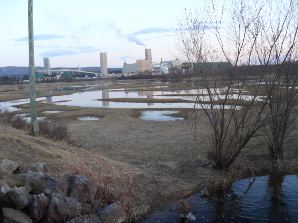
Potash Corp Facility - Night View

Snowy mist.
Blueberry Fields Forever_Panorama_23

Drive Home to NB from PEI
Town Forest
BETHNORRADS 106

Cornhill Nursery
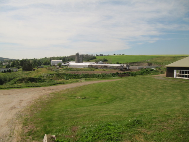
Waldow Farms
Topographic Map of Harper Settlement Rd, Anagance, NB E4Z 1G2, Canada
Find elevation by address:

Places near Harper Settlement Rd, Anagance, NB E4Z 1G2, Canada:
Anagance
34 Sproul Ln
174 Gray Rd
73 Davidson Rd
Cardwell
Portage Vale
Route 114
Green Rd, Elgin, NB E4Z 6P1, Canada
112 Penobsquis Rd
Penobsquis
South Branch
Goshen Rd, South Branch, NB E4E 5E3, Canada
New Brunswick 895
Urney Rd, Waterford, NB E4E 5A3, Canada
Mechanic Settlement
Midland Road
142 Mechanic Lake Rd
142 Mechanic Lake Rd
71 Webster Rd
Mechanic Lake
Recent Searches:
- Elevation of Corso Fratelli Cairoli, 35, Macerata MC, Italy
- Elevation of Tallevast Rd, Sarasota, FL, USA
- Elevation of 4th St E, Sonoma, CA, USA
- Elevation of Black Hollow Rd, Pennsdale, PA, USA
- Elevation of Oakland Ave, Williamsport, PA, USA
- Elevation of Pedrógão Grande, Portugal
- Elevation of Klee Dr, Martinsburg, WV, USA
- Elevation of Via Roma, Pieranica CR, Italy
- Elevation of Tavkvetili Mountain, Georgia
- Elevation of Hartfords Bluff Cir, Mt Pleasant, SC, USA