Elevation of Harir, Iraq
Location: Iraq > Erbil Governorate > Shaqlawa >
Longitude: 44.3467706
Latitude: 36.552188
Elevation: 699m / 2293feet
Barometric Pressure: 93KPa
Elevation Map:
Satellite Map:
Related Photos:
Intrepid Iraqi Sheepdog

Quick, run for the border!
The Oil Trail

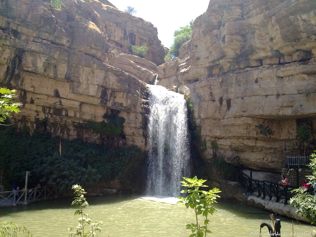
Bekhal Waterfalls
Majestic view on #dukan #lake from Friday's hike to #badawan #kaniwatman #koya #kurdistan
View from Pank
Korek Mountain

Korek Mountain
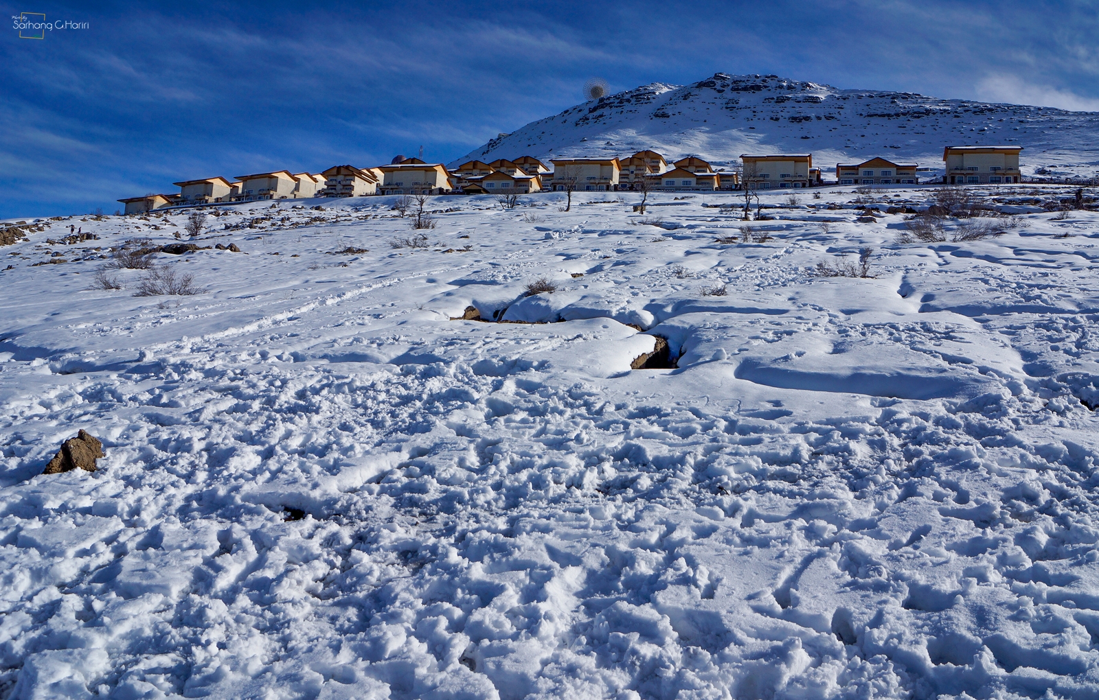
Korek Mountain
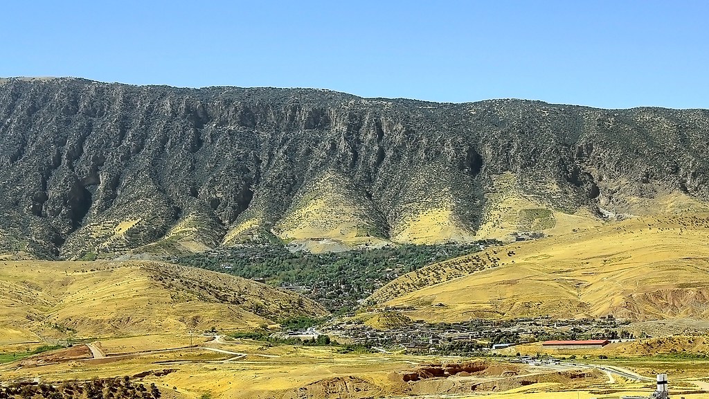
Shaqlawa from other side
Korek Mountain
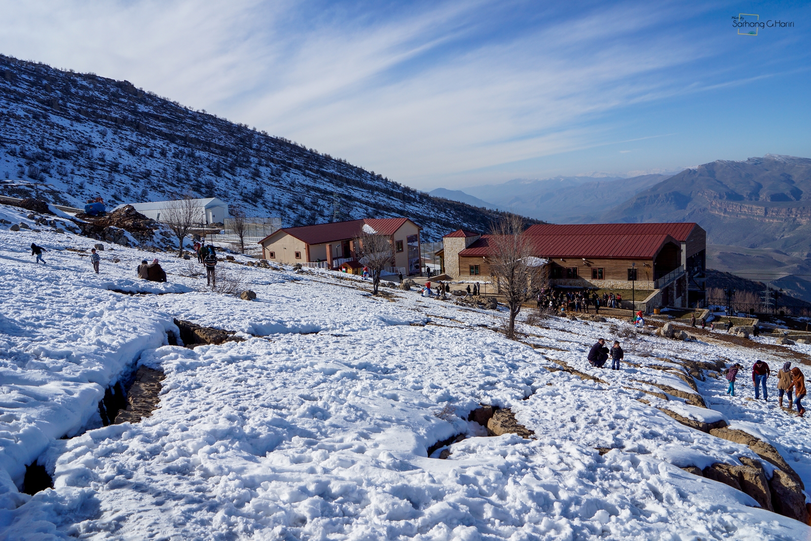
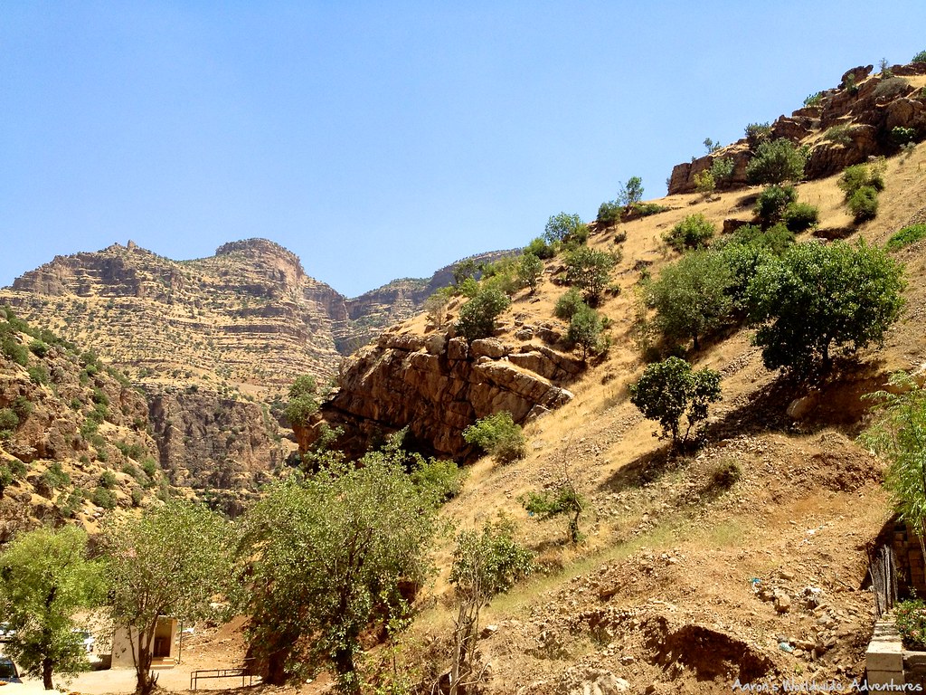
Upper Hamilton Road
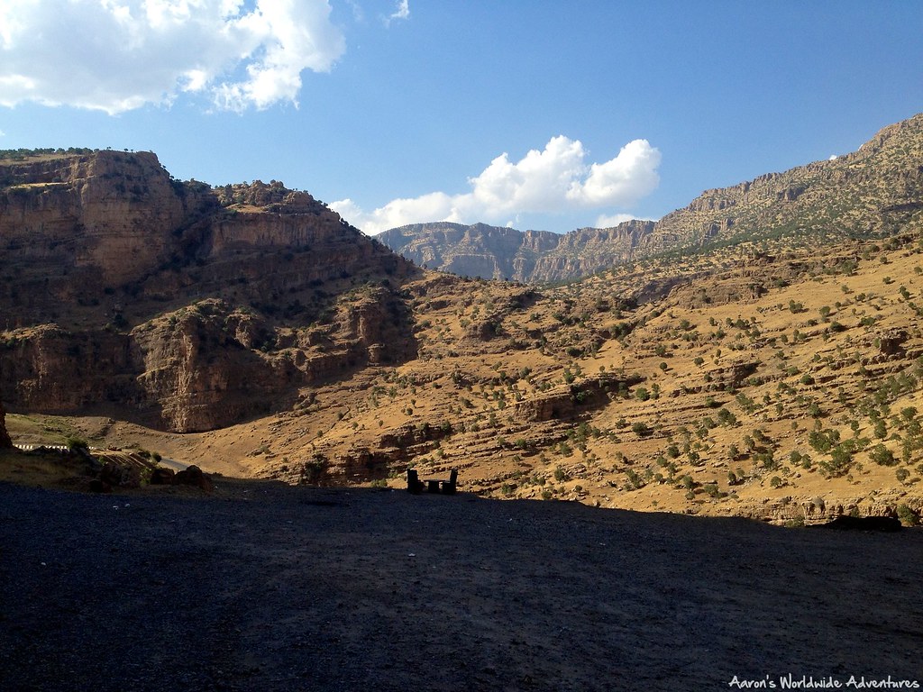
Upper Hamilton Road
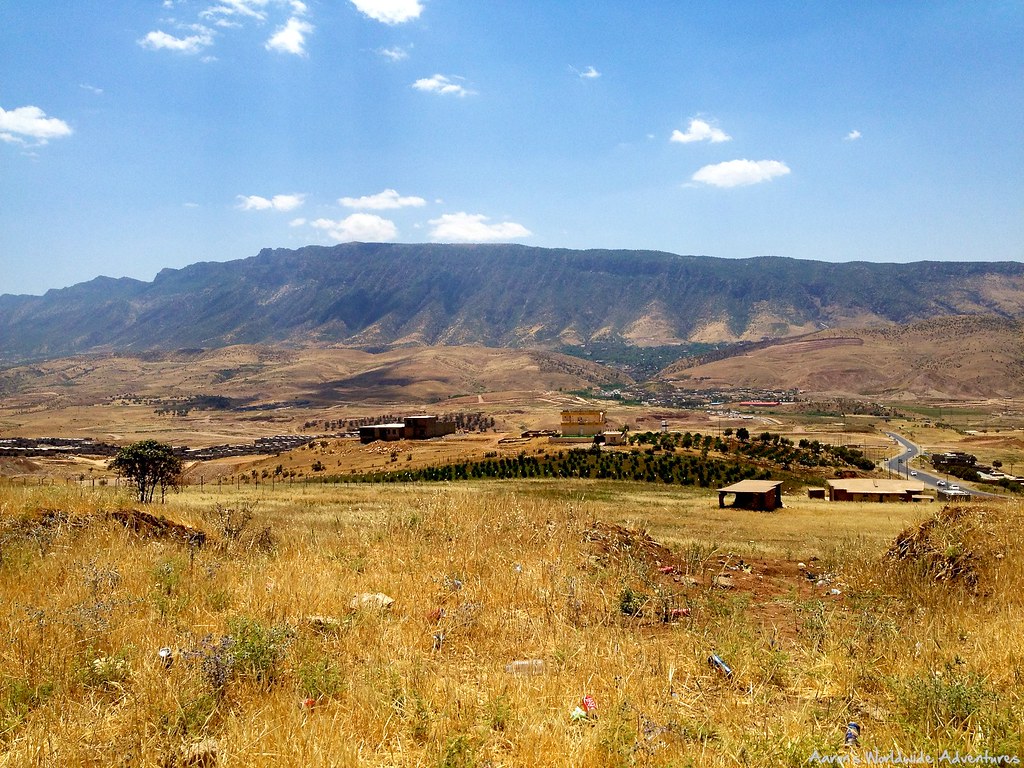
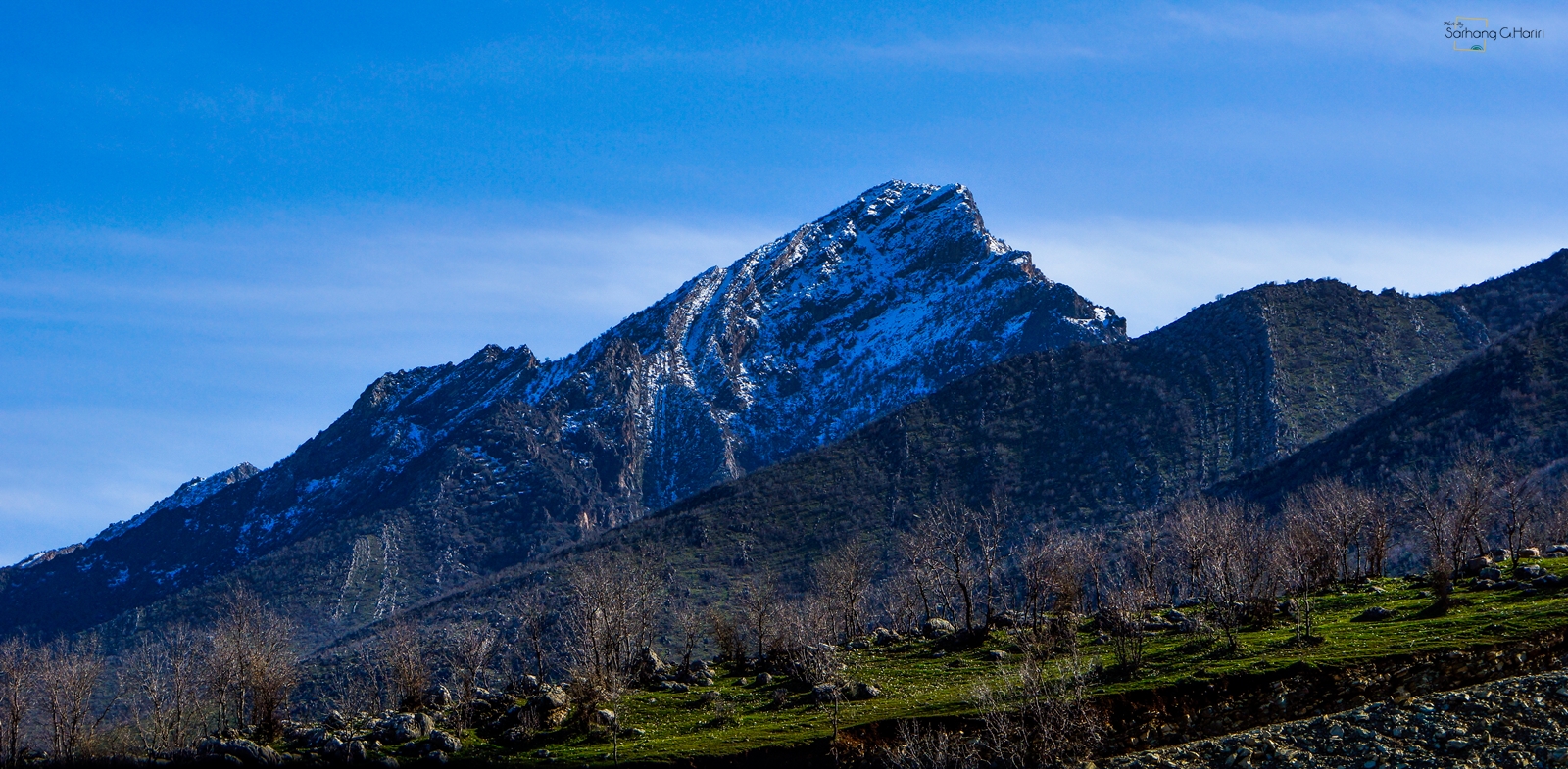
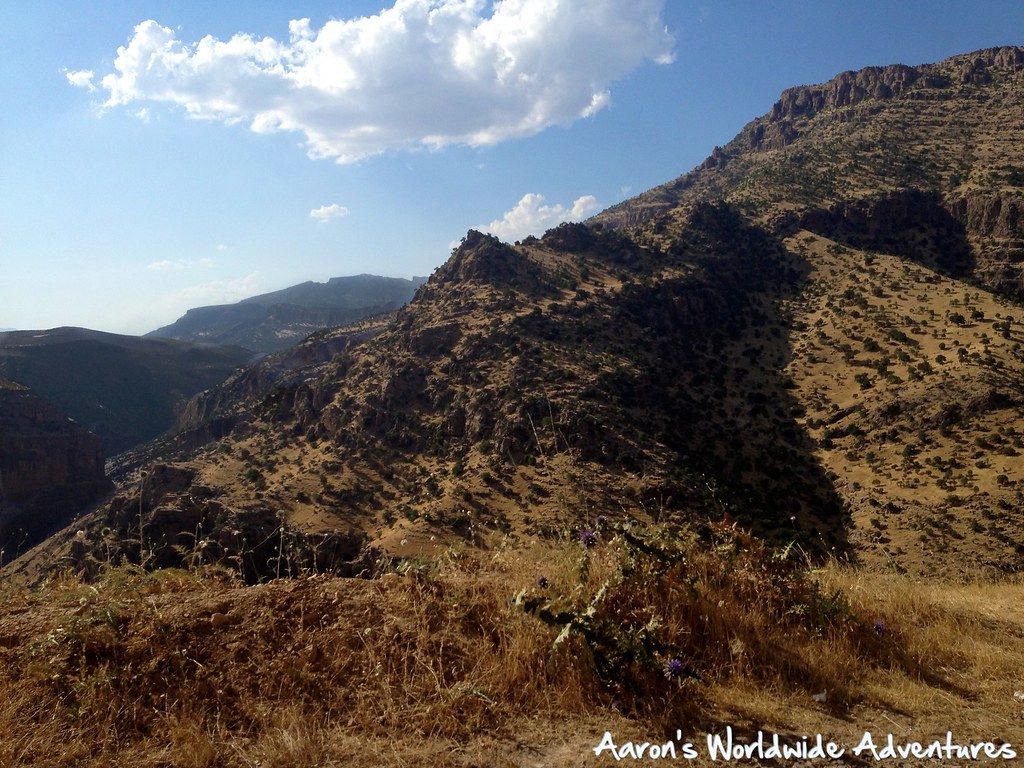
Mountains in Iraq
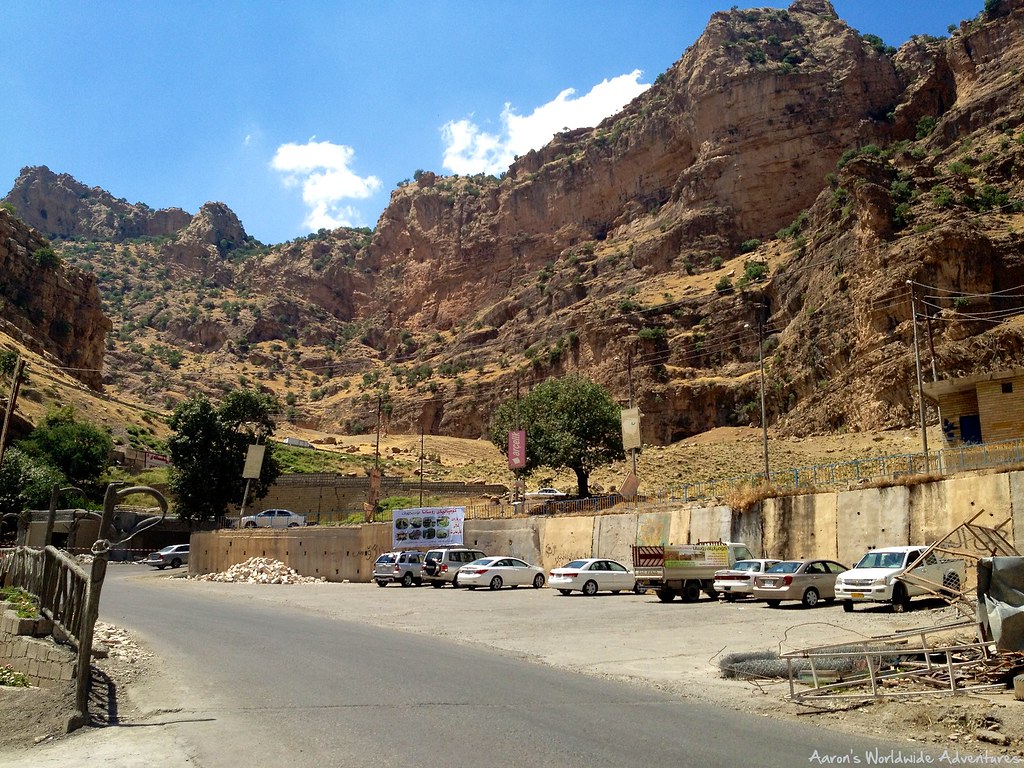
Upper Hamilton Road
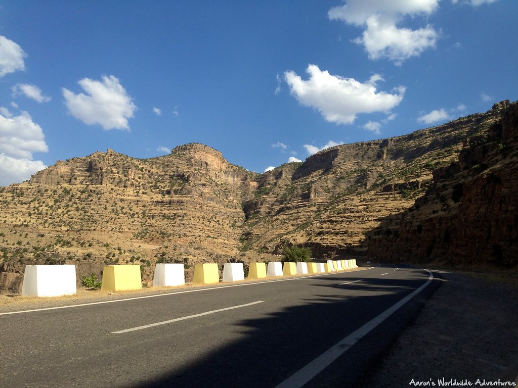
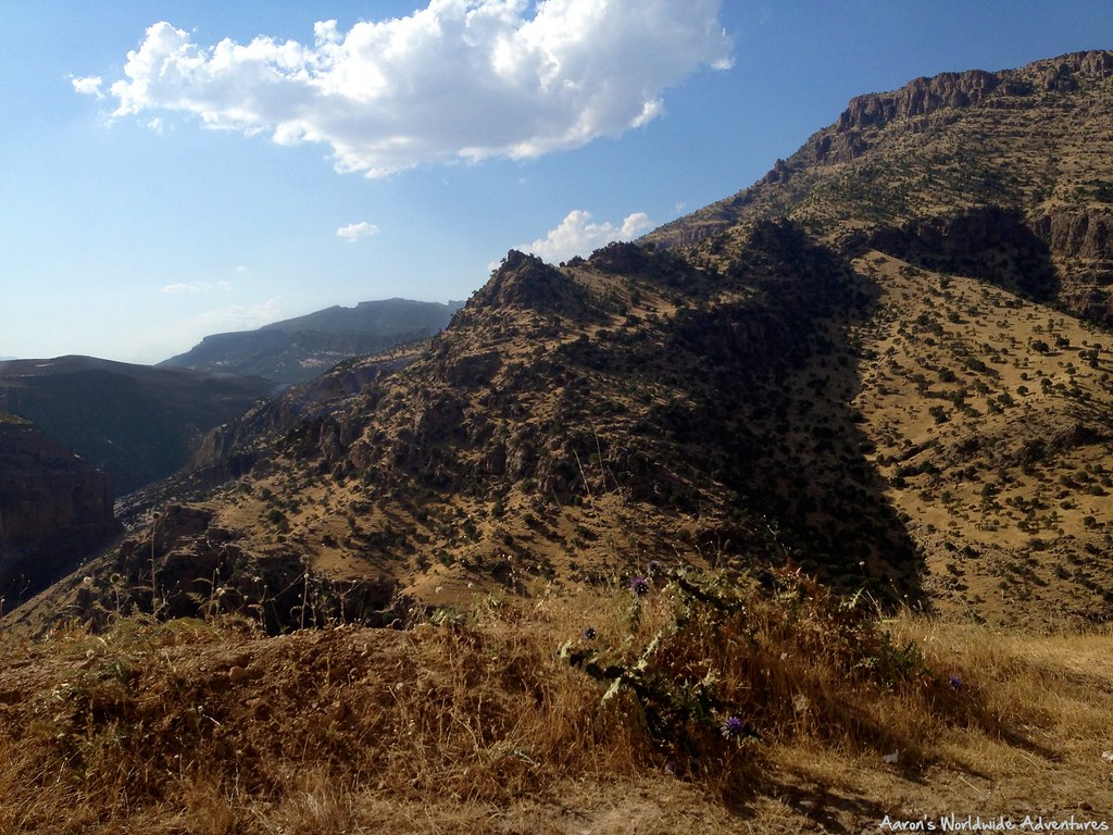
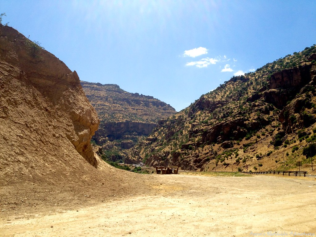
Upper Hamilton Road
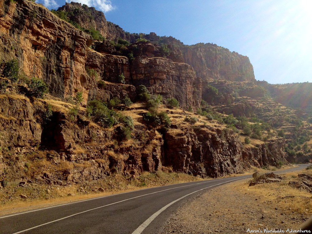
Lower Hamilton Road
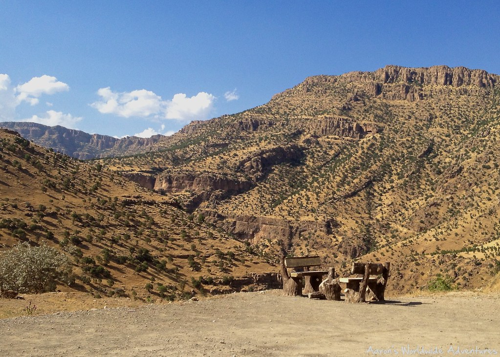
Upper Hamilton Road
Upper Hamilton Road
Lower Hamilton Road
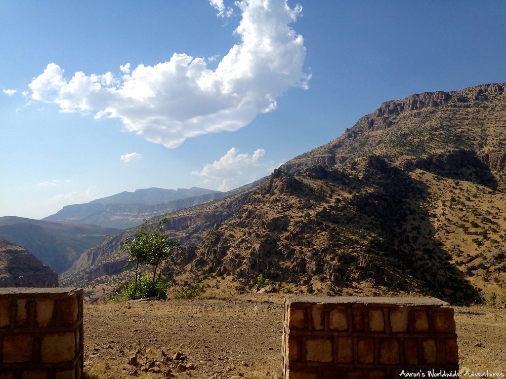
Upper Hamilton Road
Lower Hamilton Road
Lower Hamilton Road
Topographic Map of Harir, Iraq
Find elevation by address:

Places near Harir, Iraq:
Bashur
Erbil Governorate
Sisawa
Mirawa
Shaqlawa
Shaqlawa
Safin Mountain
Pirmam
Kasnazan
Erbil
Tairawa
Qalat
Erbil Citadel
Erbil Citadel Cultural Centre
Mantikawa
Bekhma Group
Kurdistan
Mosul
Erbil
Kirkuk
Recent Searches:
- Elevation of Corso Fratelli Cairoli, 35, Macerata MC, Italy
- Elevation of Tallevast Rd, Sarasota, FL, USA
- Elevation of 4th St E, Sonoma, CA, USA
- Elevation of Black Hollow Rd, Pennsdale, PA, USA
- Elevation of Oakland Ave, Williamsport, PA, USA
- Elevation of Pedrógão Grande, Portugal
- Elevation of Klee Dr, Martinsburg, WV, USA
- Elevation of Via Roma, Pieranica CR, Italy
- Elevation of Tavkvetili Mountain, Georgia
- Elevation of Hartfords Bluff Cir, Mt Pleasant, SC, USA