Elevation of Haripur, Pakistan
Location: Pakistan > Khyber Pakhtunkhwa >
Longitude: 72.8515479
Latitude: 34.0402751
Elevation: 509m / 1670feet
Barometric Pressure: 95KPa
Elevation Map:
Satellite Map:
Related Photos:
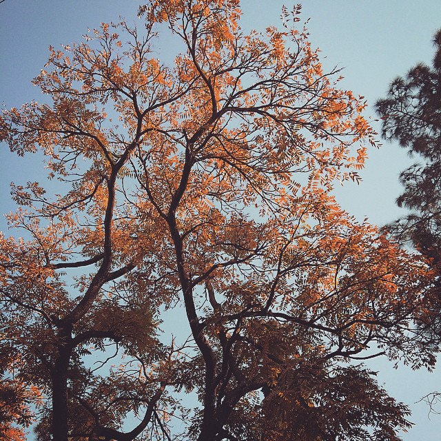
lawn view. peaceful.
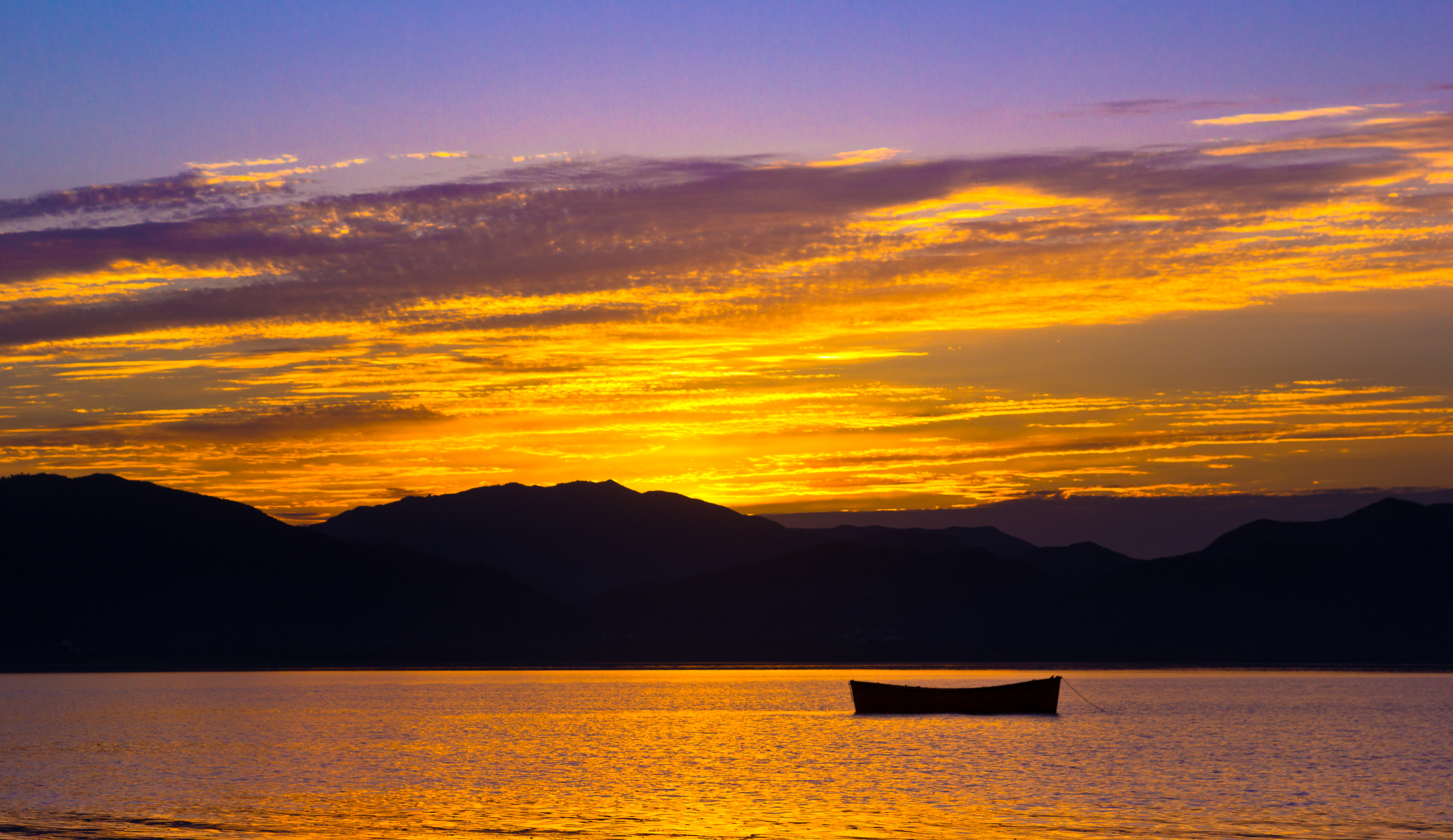
Sunset at Terbela Lake

Istanbul calls!!!
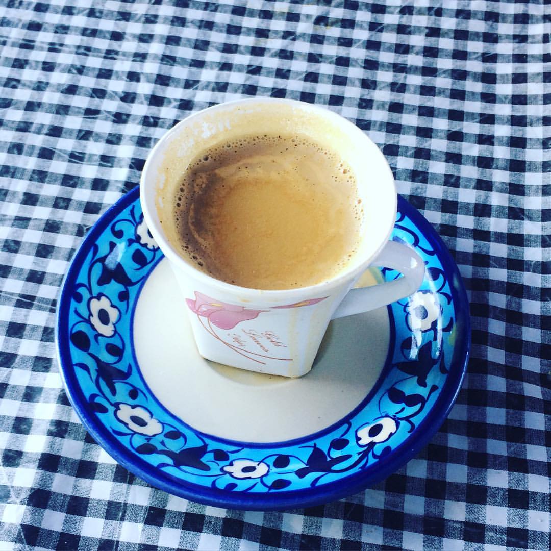
Miss this tea Reviving of the tase after 2year Fresh milk fresh tea

Snow Leopard caught hunting near Hushe Valley, Ghanche - Karakoram Pakistan #SnowLeopard #WildCats #Cat
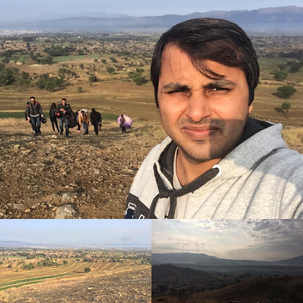
#paragliding #adventure #trip

Adnan nawaz

walk...

My lill cute pie so much love with

My lill cute pie so much love with

My lill cute pie so much love with

My lill cute pie so much love with

My lill cute pie so much love with

My lill cute pie so much love with
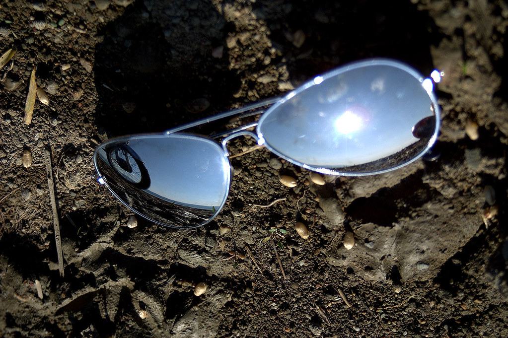
whEEl ...
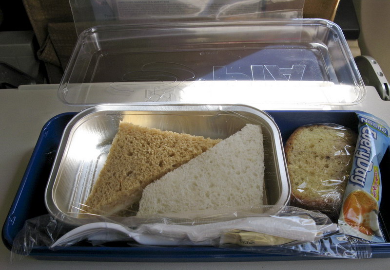
Pay more, got a meal box.
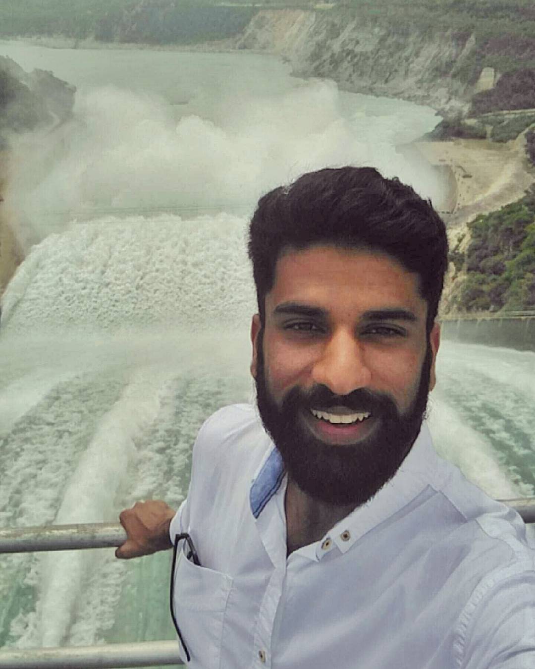
The Mighty Tarbela Dam, standing right above the spillway gate ???? #Tarbela #Dam #Spillway #Pakistan
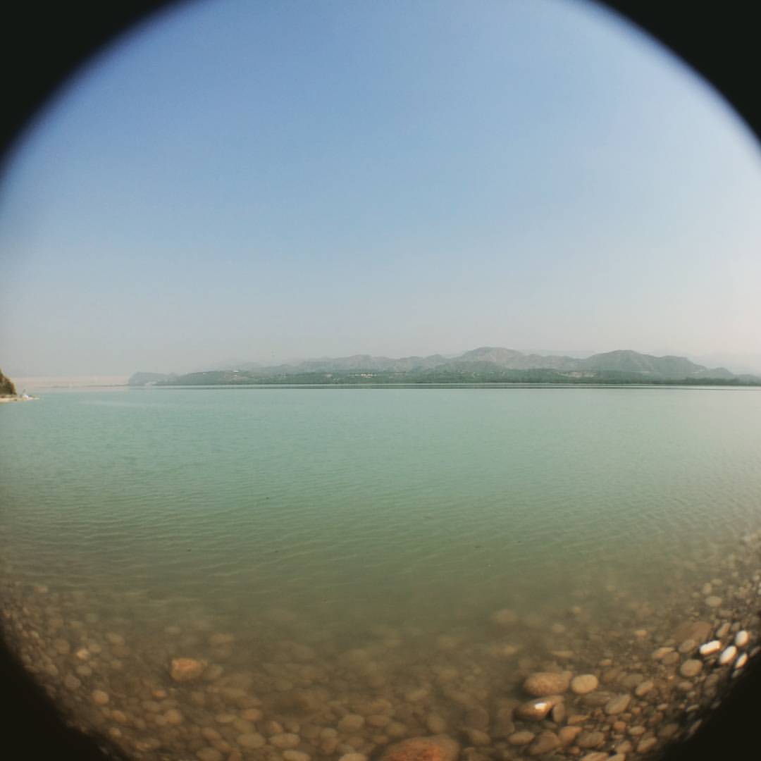
#TarbelaDam #Fisheye #Photography

#TarbelaDam #Topi #Water #Green #Shades ????????

Fatma at tubela dam, Sanobar colony.,

Sher ali taj at sanobar colony turbella.
Topographic Map of Haripur, Pakistan
Find elevation by address:

Places in Haripur, Pakistan:
Places near Haripur, Pakistan:
Khalabat Township
Ghazi
Haripur
Karakoram Highway
Haripur
Tarbela Lake
Burj Khanpur
Topi
Ghulam Ishaq Khan Institute Of Engineering Sciences And Technology
Topi
Tarbela Dam Airport
Kholian Bala
Hassan Pur
Lala Rukh Tomb
Kund Katha
Hakimon Ka Maqbara
Baja Wildlife Park
Marghuz
Women University Swabi
Bruti
Recent Searches:
- Elevation of Corso Fratelli Cairoli, 35, Macerata MC, Italy
- Elevation of Tallevast Rd, Sarasota, FL, USA
- Elevation of 4th St E, Sonoma, CA, USA
- Elevation of Black Hollow Rd, Pennsdale, PA, USA
- Elevation of Oakland Ave, Williamsport, PA, USA
- Elevation of Pedrógão Grande, Portugal
- Elevation of Klee Dr, Martinsburg, WV, USA
- Elevation of Via Roma, Pieranica CR, Italy
- Elevation of Tavkvetili Mountain, Georgia
- Elevation of Hartfords Bluff Cir, Mt Pleasant, SC, USA