Elevation of Harbor Ln, Dugspur, VA, USA
Location: United States > Virginia > Carroll County > Dugspur >
Longitude: -80.617188
Latitude: 36.786973
Elevation: 689m / 2260feet
Barometric Pressure: 93KPa
Elevation Map:
Satellite Map:
Related Photos:
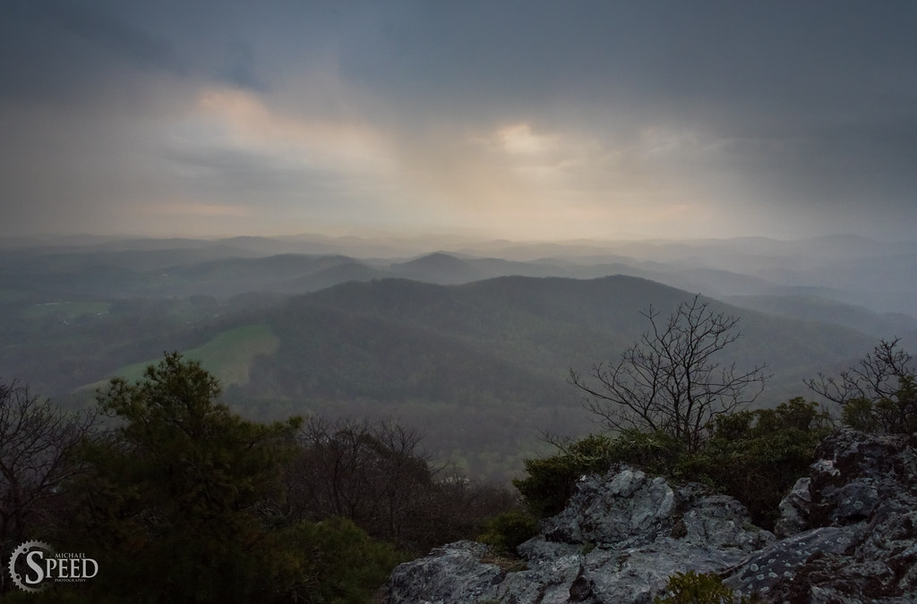
April Showers - Buffalo Mountain Natural Area
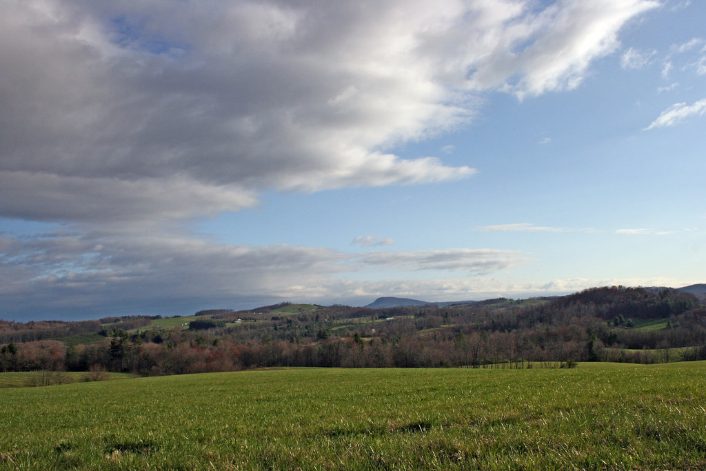
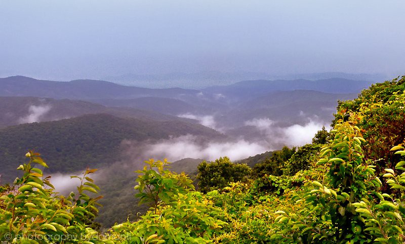
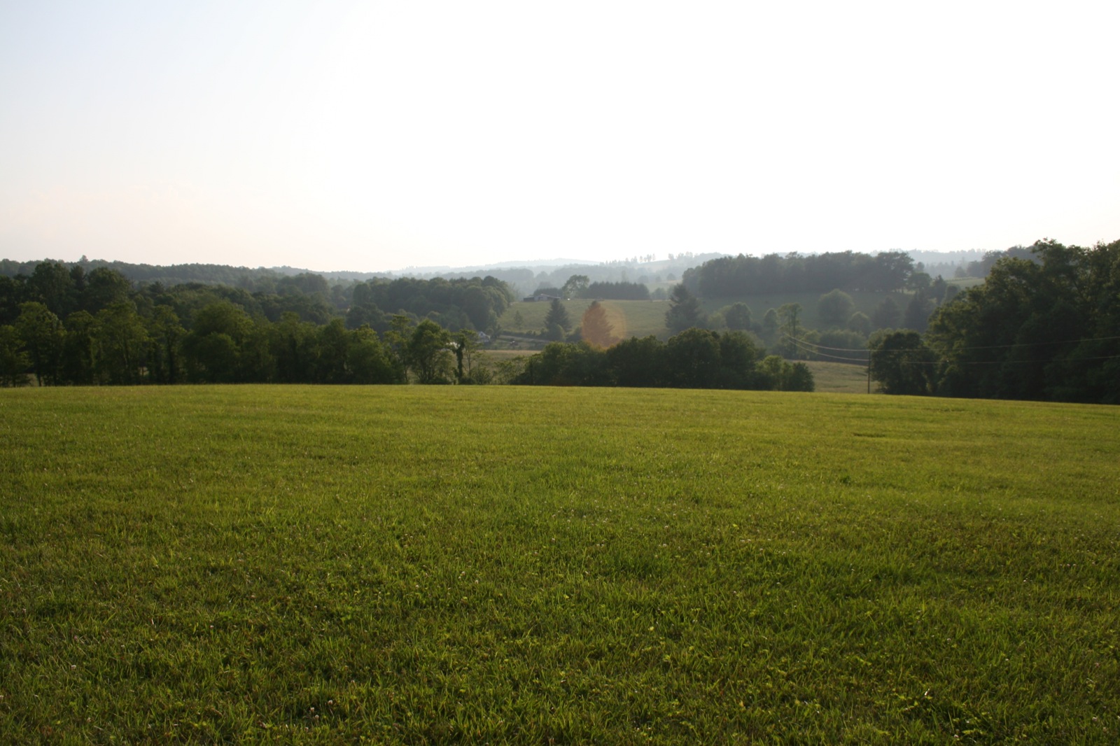
The Rolling Blue Ridge Mountians
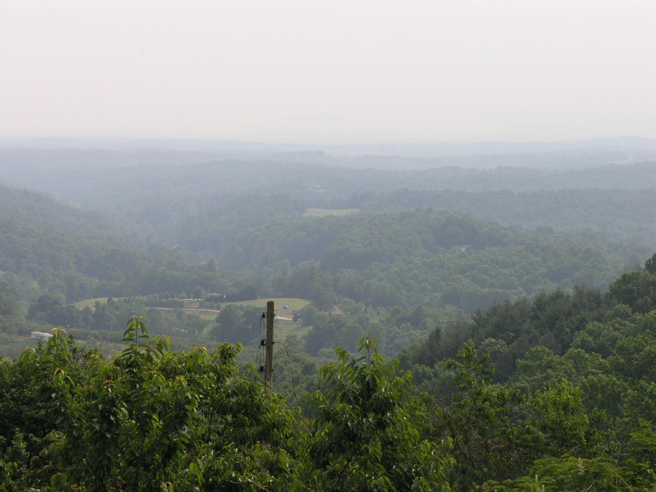
View from the Orchard
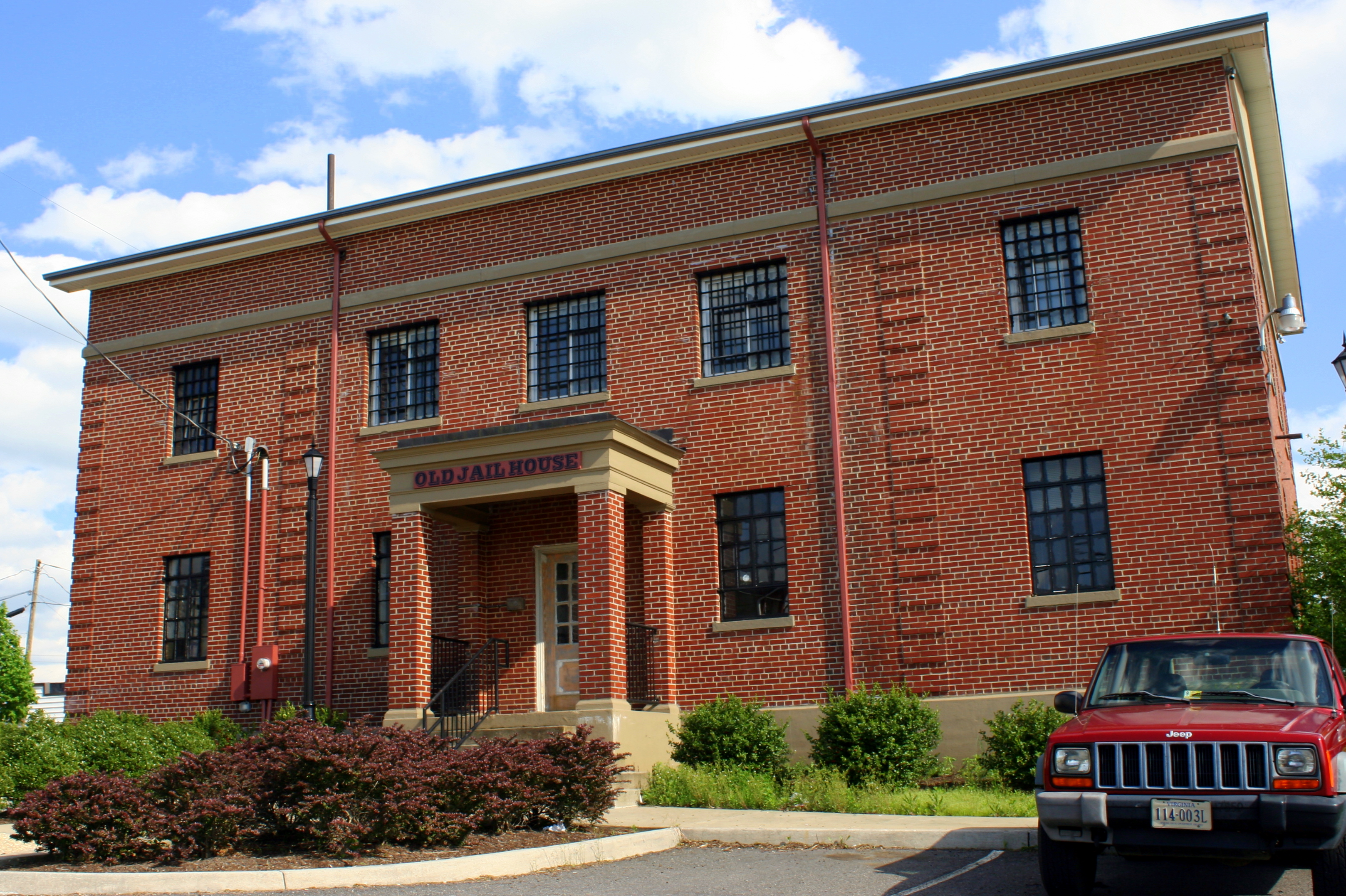
Old Carroll County Jail - Hillsville, VA
PARKWAY VIEW
View from the J. Sidna Allen House, Fancy Gap, Virginia
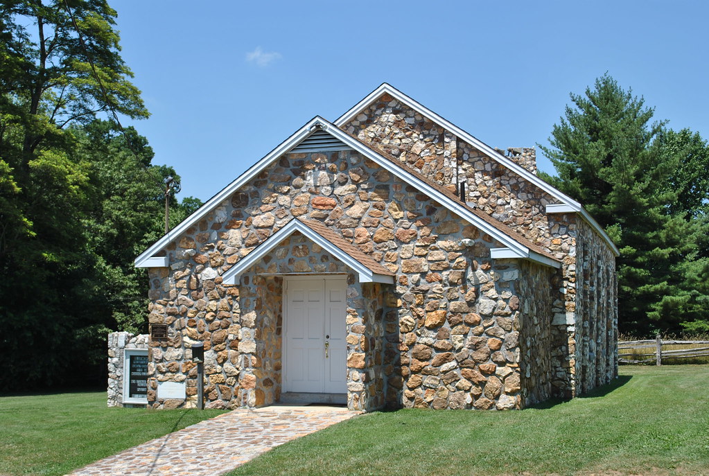
BLUEMONT PRESBYTERIAN CHURCH
the morning fog
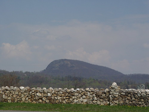
BUFFALO MOUNTAIN
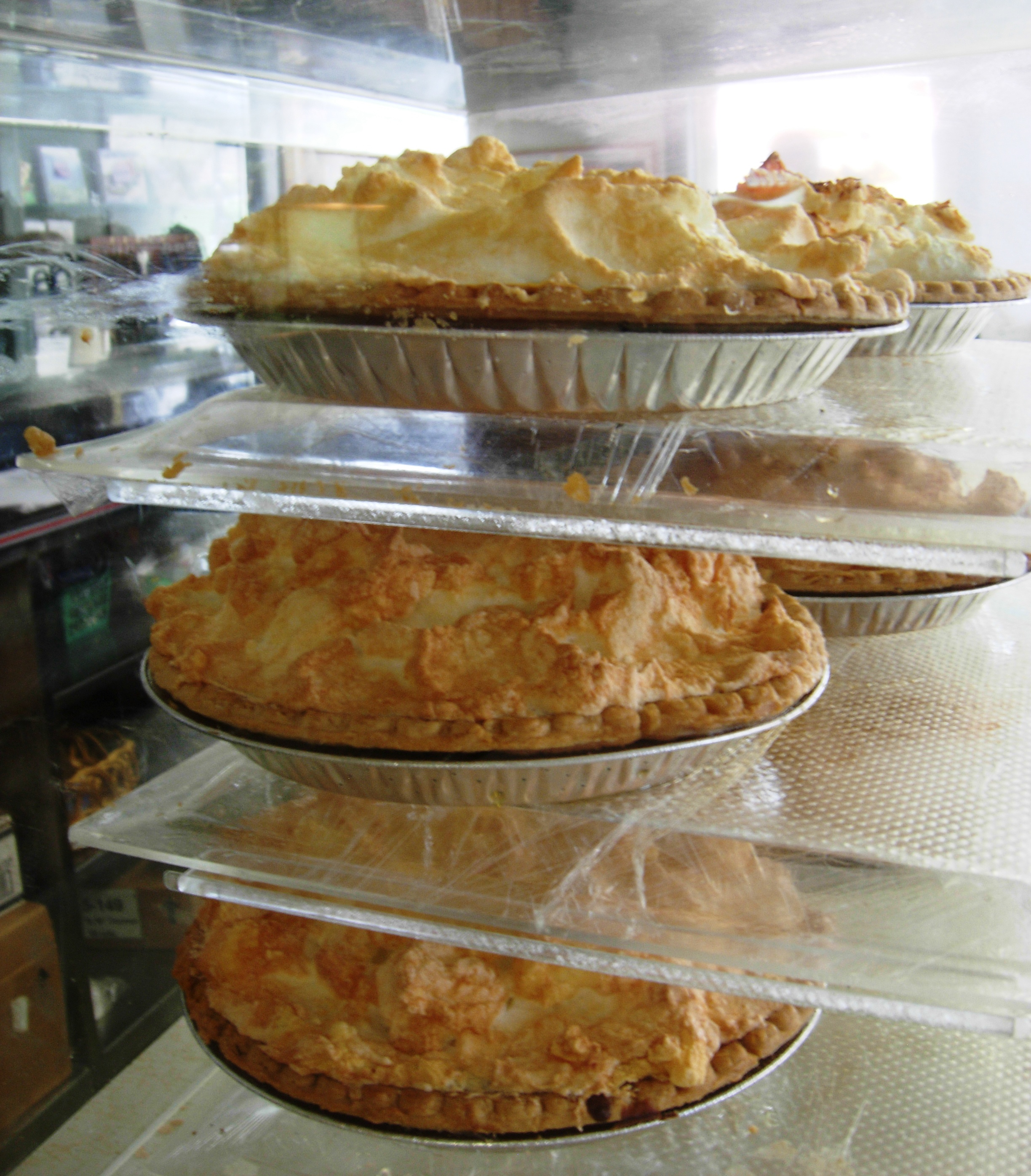
pies, Fancy Gap, Virginia
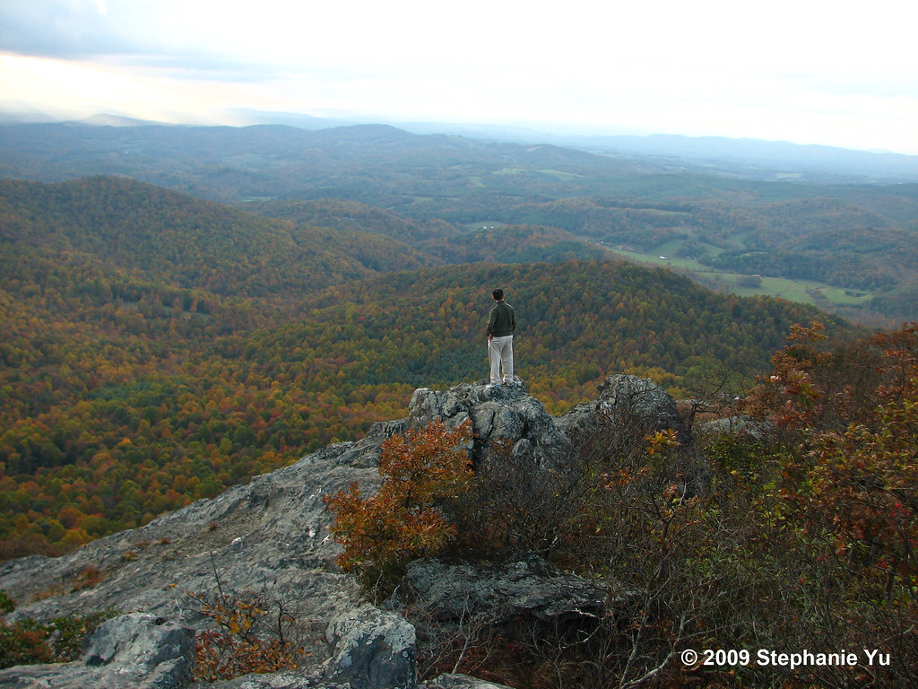
Fall colors
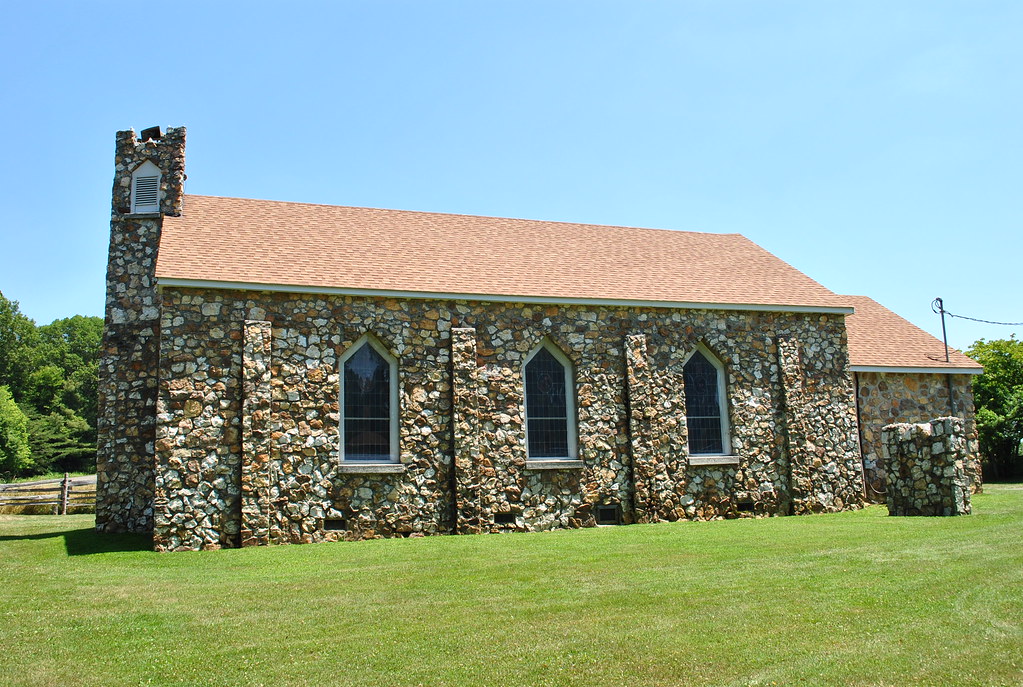
BLUEMONT PRESBYTERIAN CHURCH
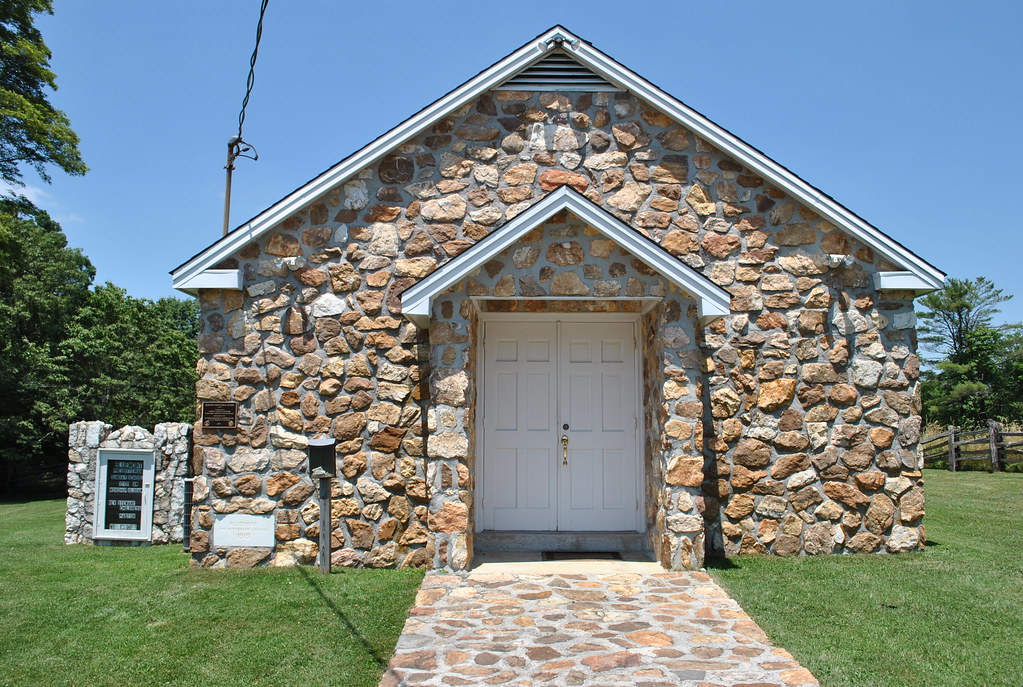
BLUEMONT PRESBYTERIAN CHURCH
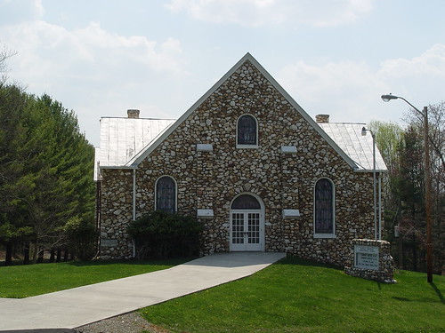
BUFFALO MTN. PRESBYTERIAN
View from the porch
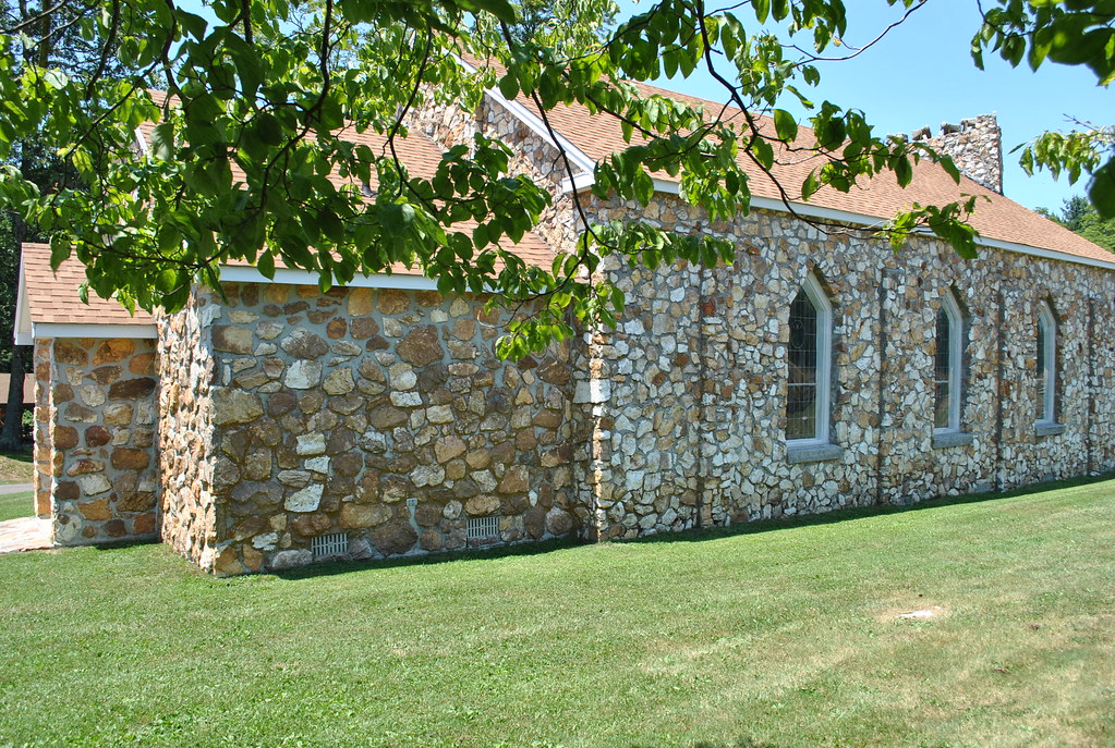
BLUEMONT PRESBYTERIAN CHURCH
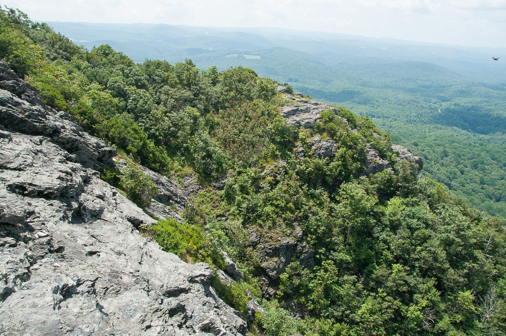
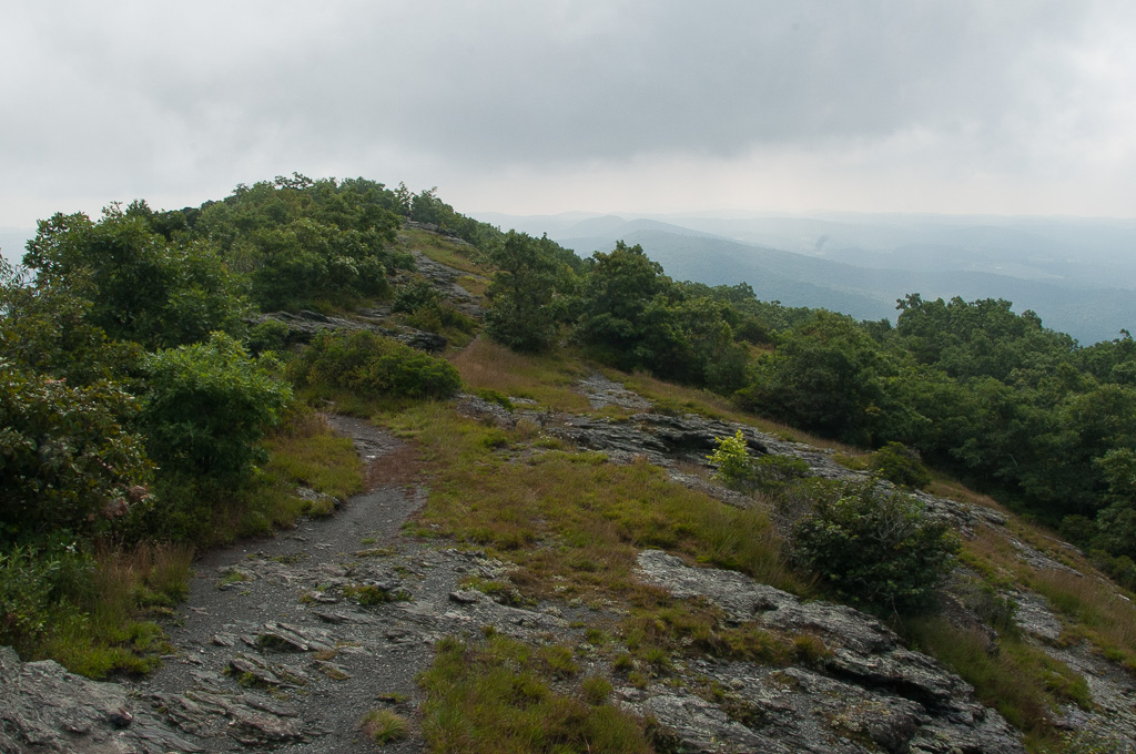
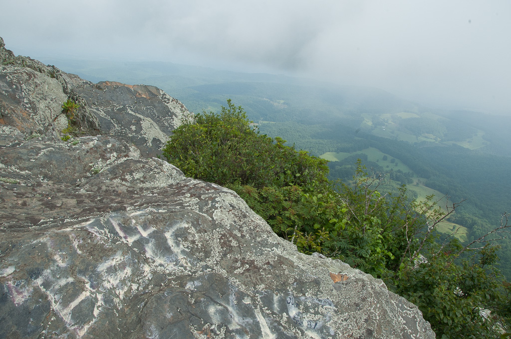
W4V/FC-005 - Buffalo Mtn View
W4V/FC-005 - Buffalo Mtn View

W4V/FC-005 - Buffalo Mtn View
W4V/FC-005 - Buffalo Mtn View

W4V/FC-005 - Buffalo Mtn View
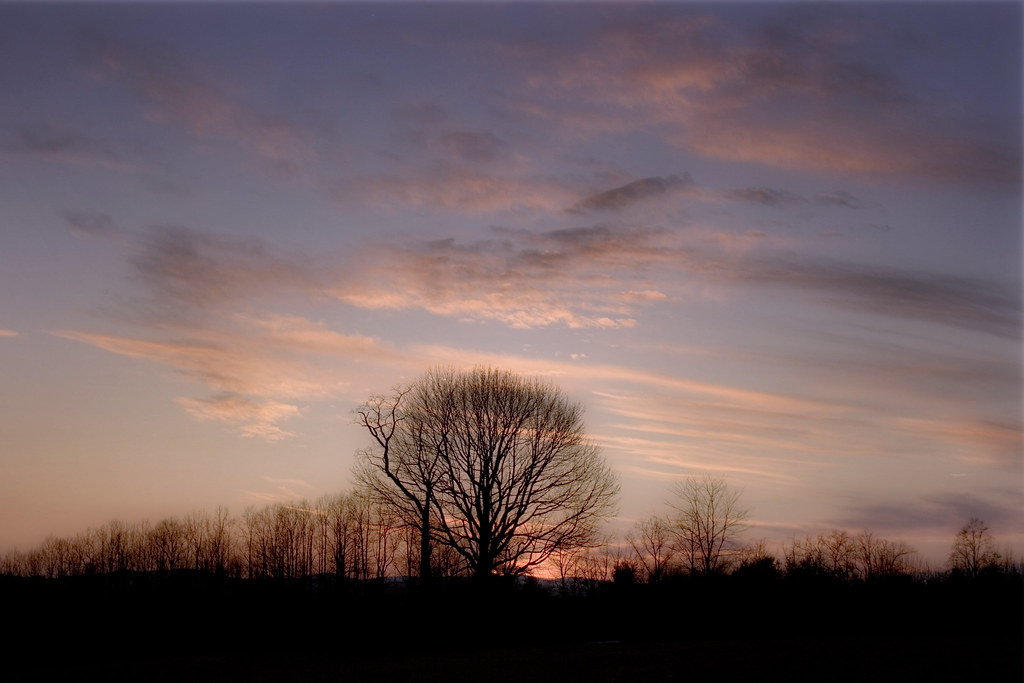
Dreamy sunset
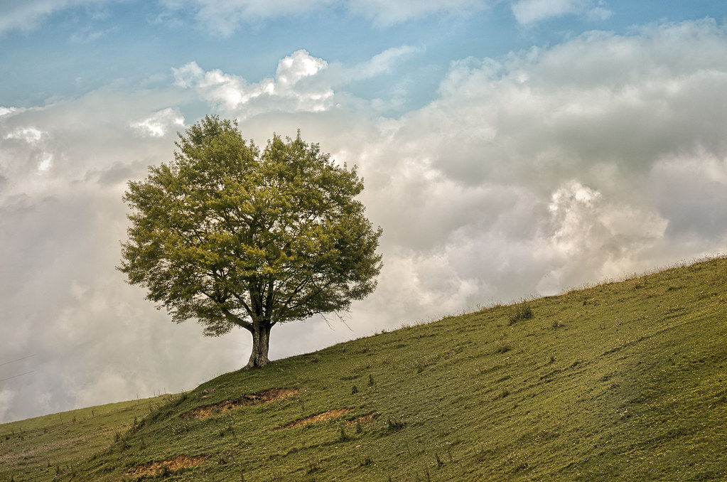
TREE ON HILL

Buffalo Mountain Floyd, VA

20081010Mountains 124

Hillsville, West Virginia. #theroadlesstraveled # landscape

double rainbow
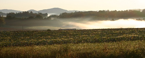
Foggy Spring Day
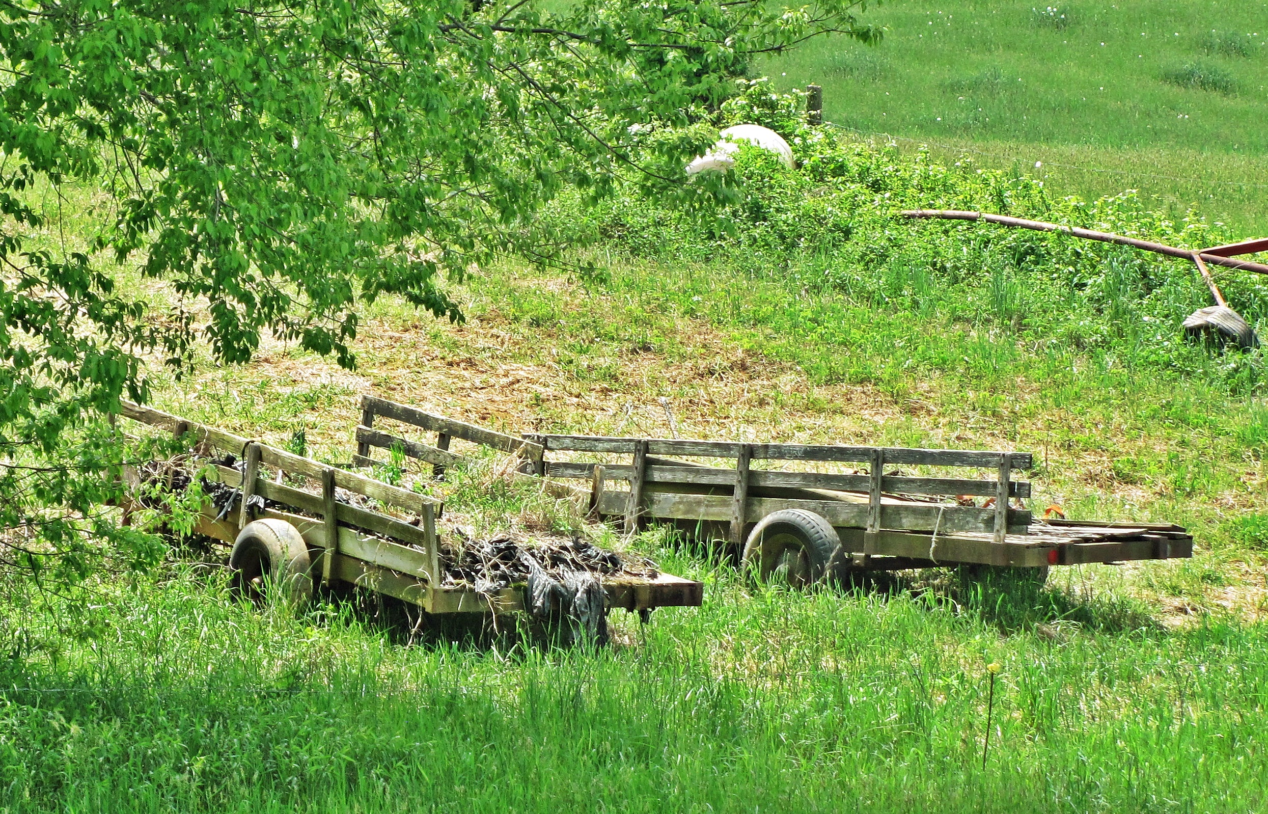
Farm Wagons
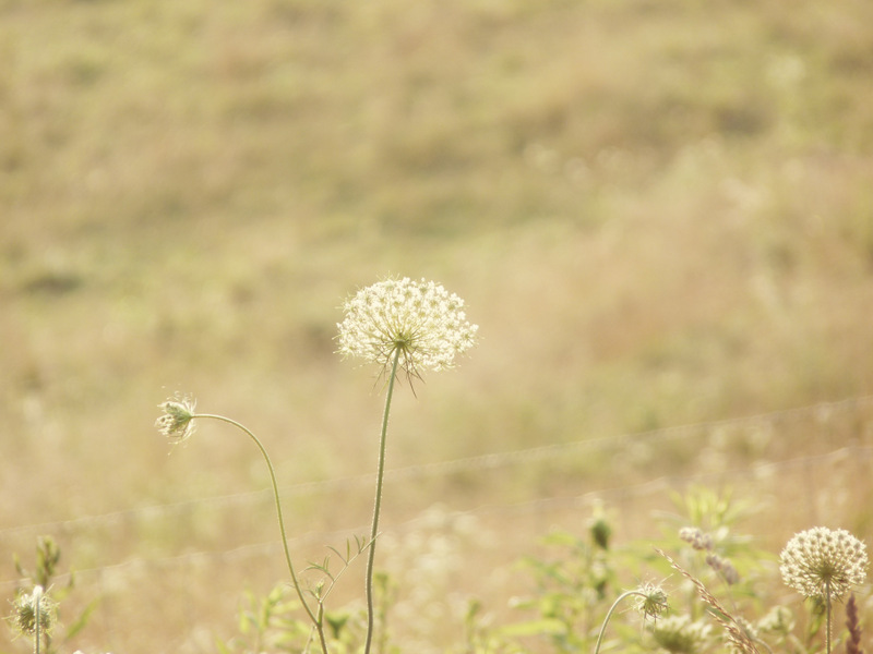
Queen Anne's Lace in the Meadow
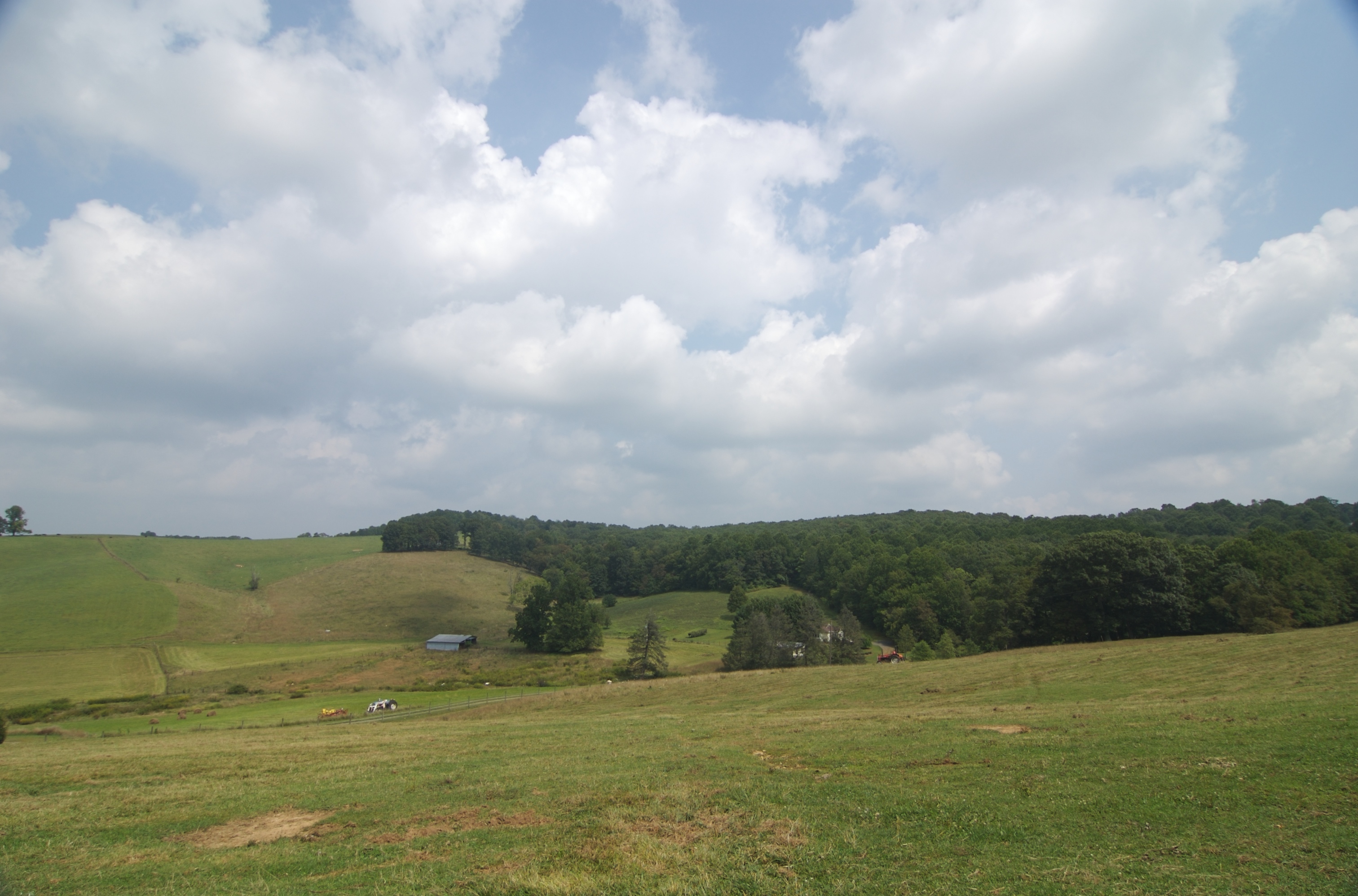
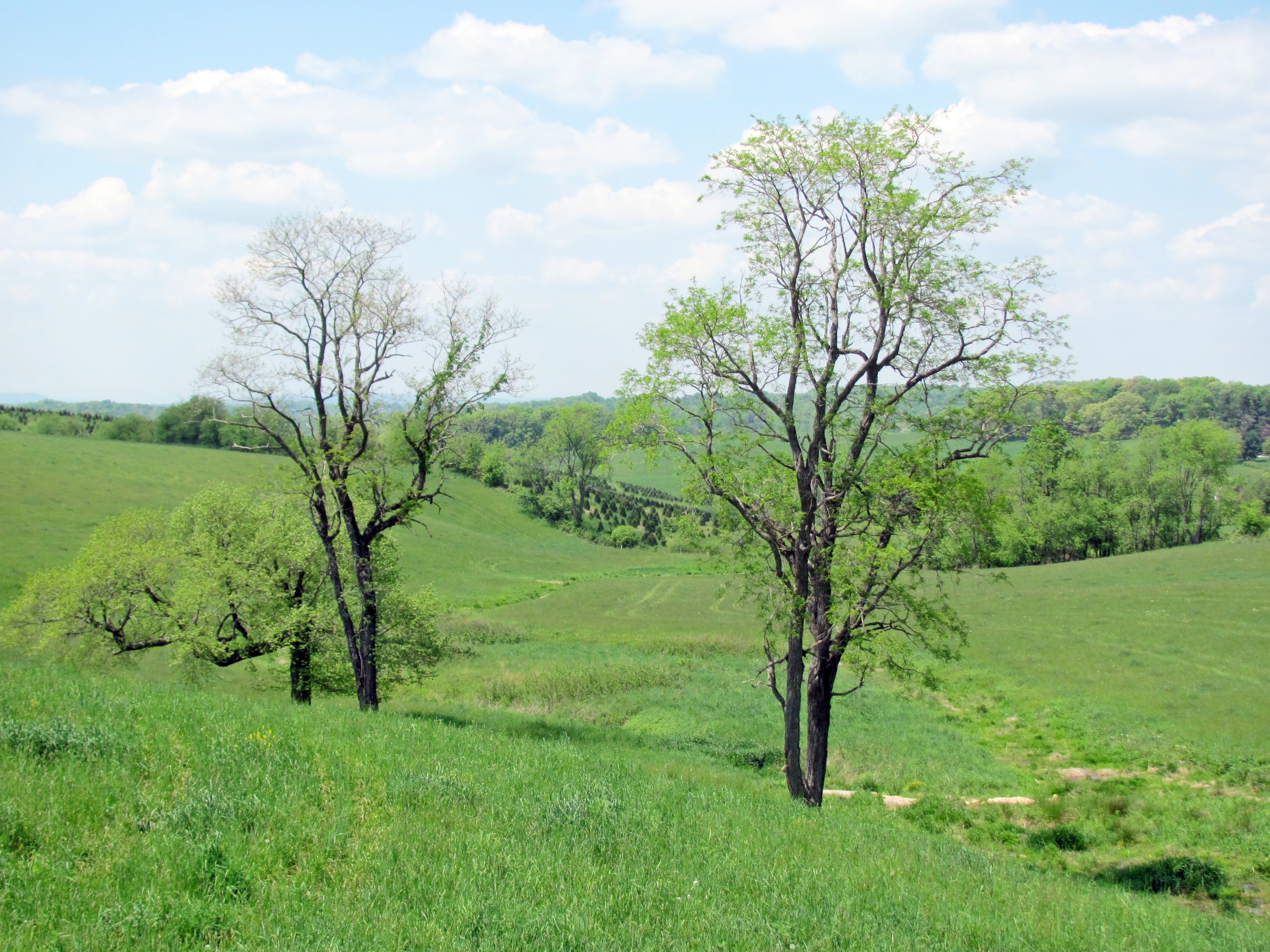
upper pasture

20081010Mountains 045
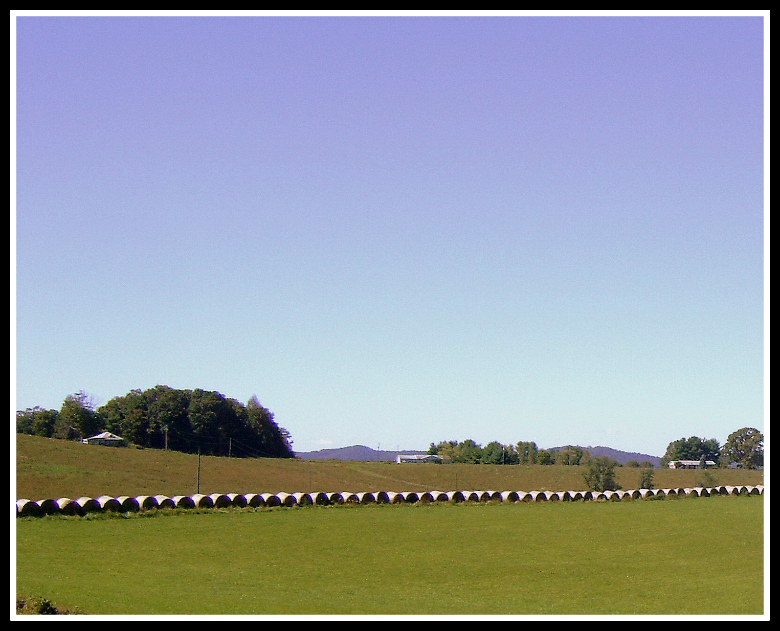
Hay Rolls, Fancy Gap Va, Carroll County
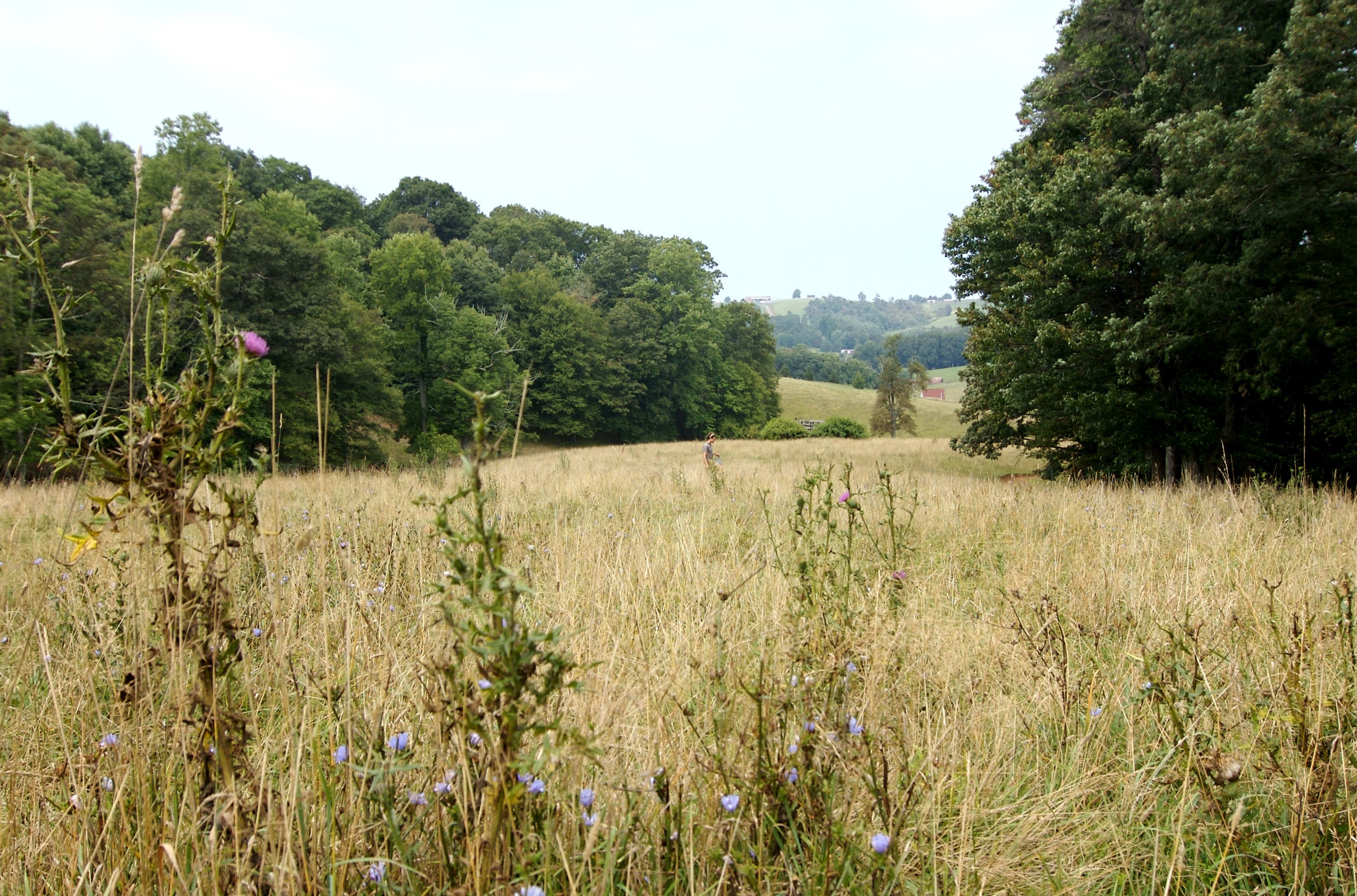
justin and thistles in lower pasture
Topographic Map of Harbor Ln, Dugspur, VA, USA
Find elevation by address:

Places near Harbor Ln, Dugspur, VA, USA:
Poplar Hill Road
Poplar Hill Road
Poplar Hill Road
Poplar Hill Drive
Poplar Hill Drive
513 Shemp Hollow Rd
87 Journey Ln
341 Creekside Dr
155 Creekside Dr
95 Creekside Dr
88 Creekside Dr
89 Creekside Dr
Dugspur
672 Marian Rd
672 Marian Rd
1346 State Rd 624
672 Marian Rd
1258 River Rd
1745 Hunters Ridge Rd
River Road
Recent Searches:
- Elevation of Corso Fratelli Cairoli, 35, Macerata MC, Italy
- Elevation of Tallevast Rd, Sarasota, FL, USA
- Elevation of 4th St E, Sonoma, CA, USA
- Elevation of Black Hollow Rd, Pennsdale, PA, USA
- Elevation of Oakland Ave, Williamsport, PA, USA
- Elevation of Pedrógão Grande, Portugal
- Elevation of Klee Dr, Martinsburg, WV, USA
- Elevation of Via Roma, Pieranica CR, Italy
- Elevation of Tavkvetili Mountain, Georgia
- Elevation of Hartfords Bluff Cir, Mt Pleasant, SC, USA