Elevation of Harbison Township, IN, USA
Location: United States > Indiana > Dubois County >
Longitude: -86.872214
Latitude: 38.4749117
Elevation: 182m / 597feet
Barometric Pressure: 99KPa
Elevation Map:
Satellite Map:
Related Photos:
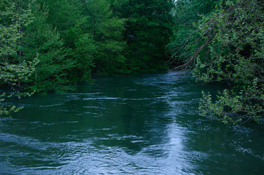
Nature's little Wonders

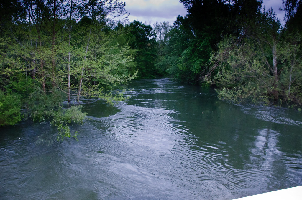
Brooks Bridge (HDR)
Indiana, Martin County, Mail Pouch, Kentucky Club, and Meramec Caverns (8,320-2) (18,454-2) (18,502-2)

Jasper, Indiana Cabby ONeill Gym Wide View

Brooks Bridge Support
Mockingbird (video)

Getting My New TTV Camera Dialed In
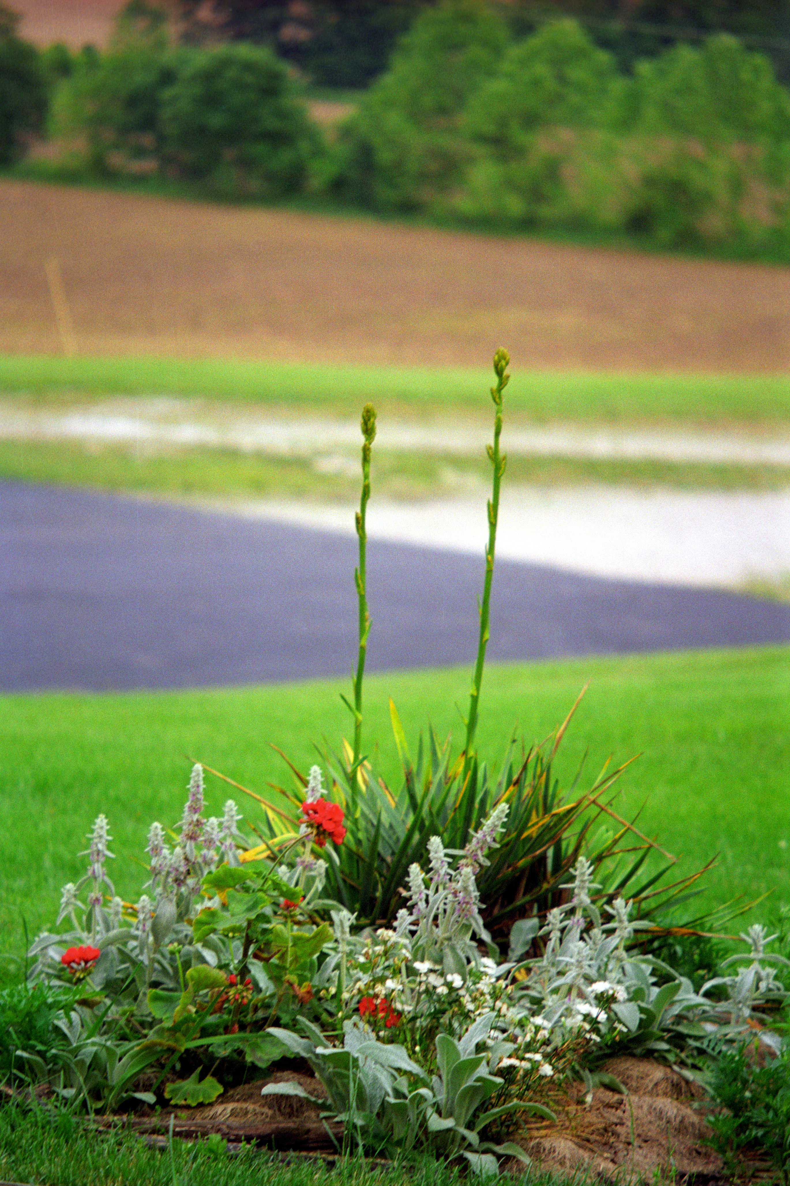
Oh, I wanna

Abandoned Jasper Cabinet; Jasper, Indiana

Patoka River Landmark Sign; Jasper, Indiana

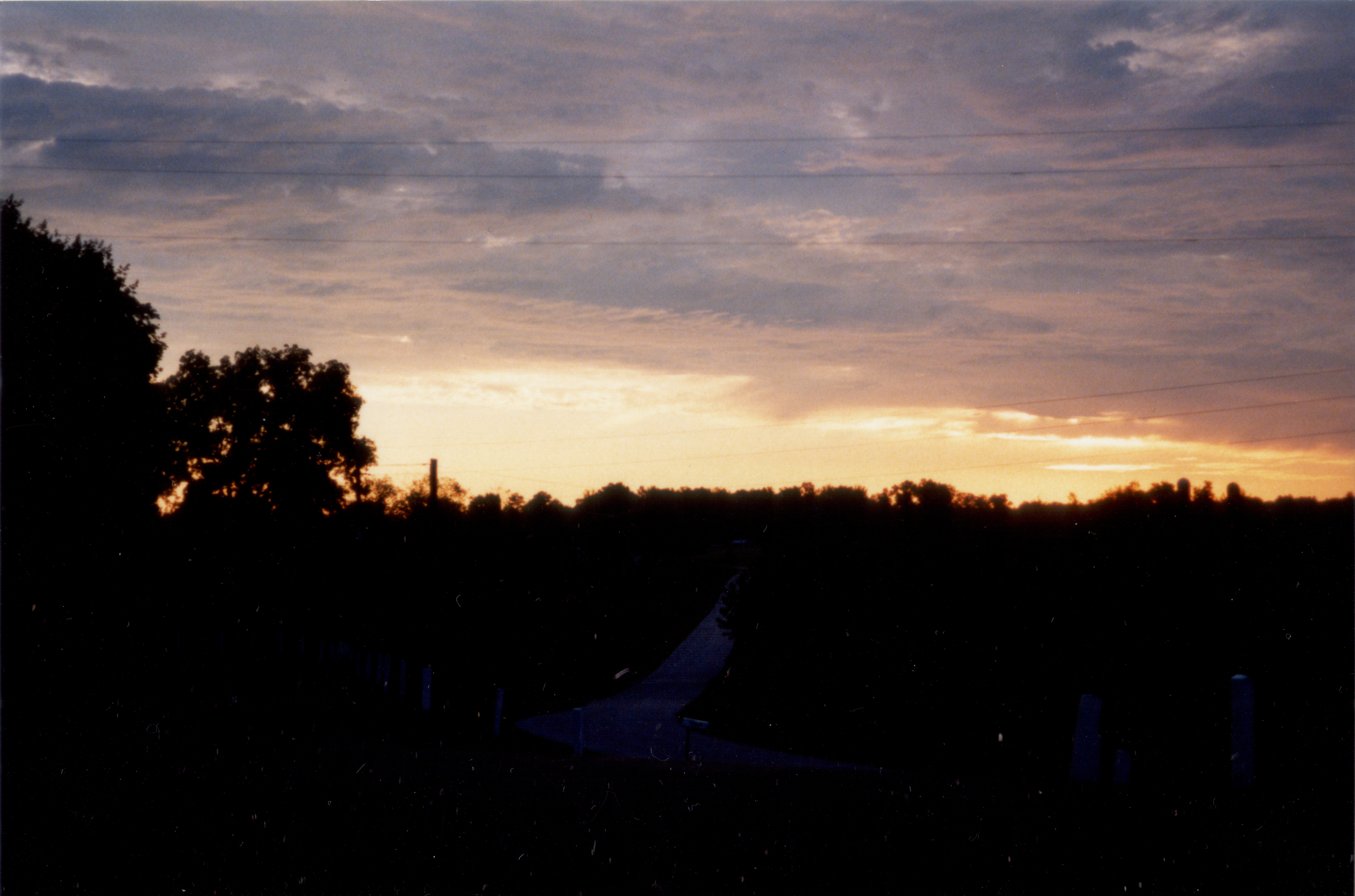
Mr. Blue Sky

Happy Thanksgiving Low
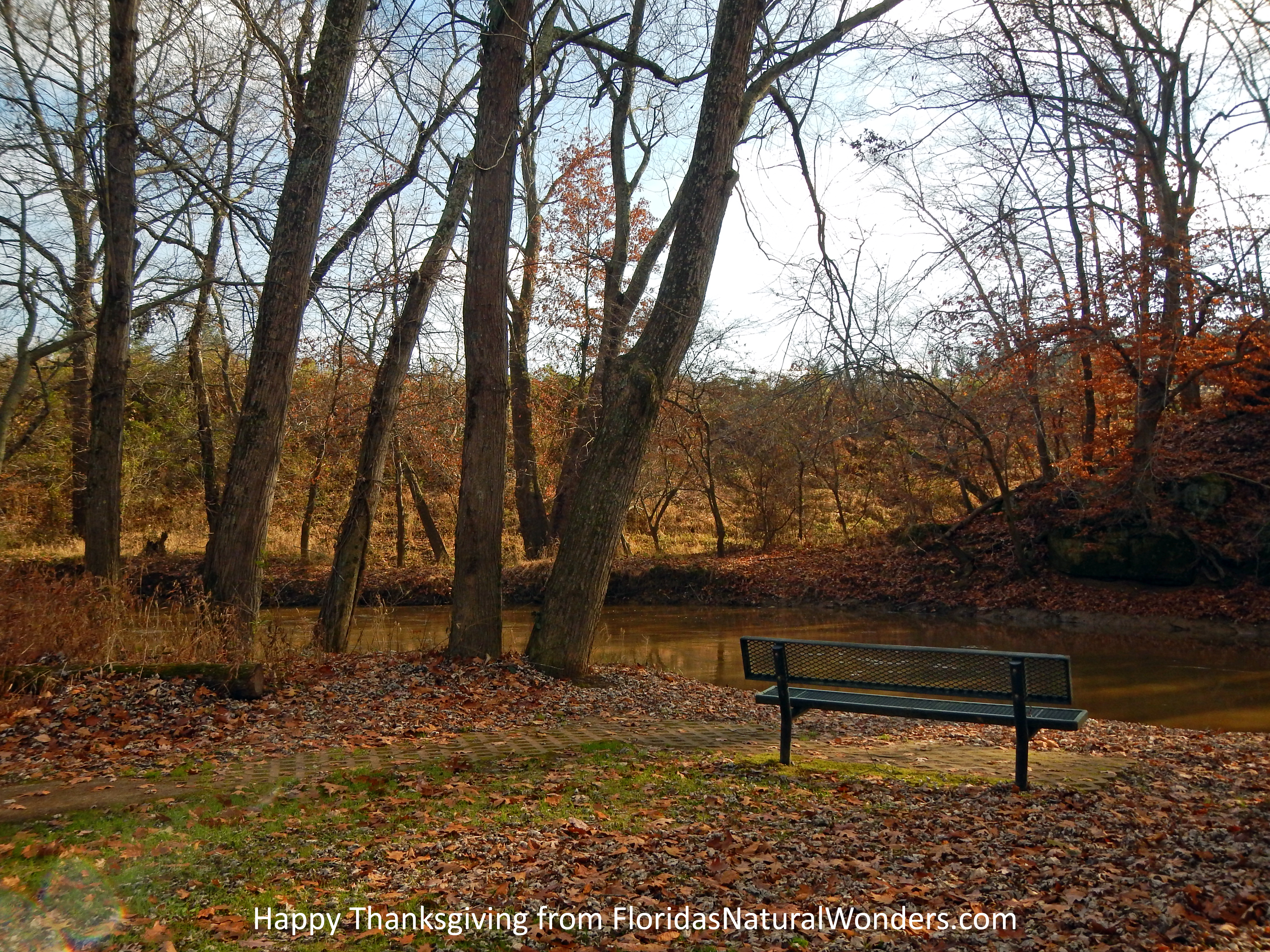
Happy Thanksgiving

Autumn Marsh at Patoka Lake
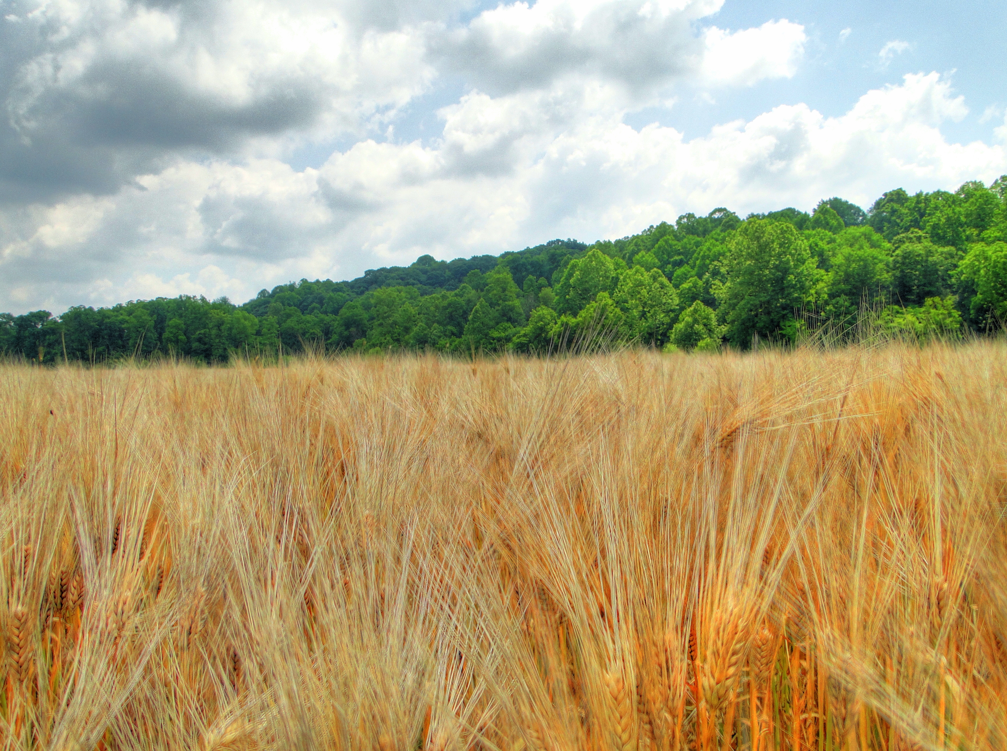
Golden field of wheat
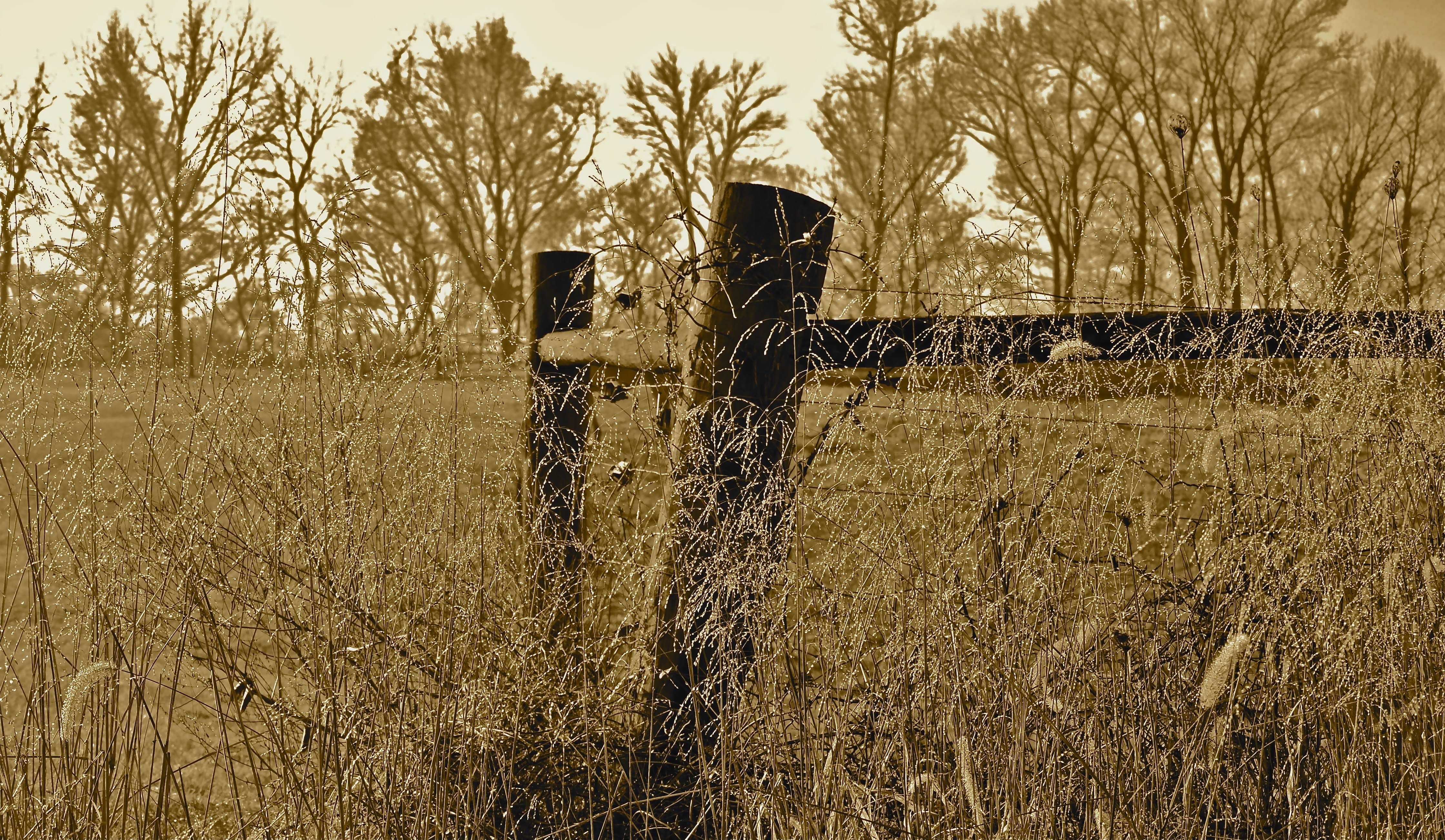
Morning Dew
20110507-_DSC3836
20110507-_DSC3839
tall guys
more sunrise in boone twp.
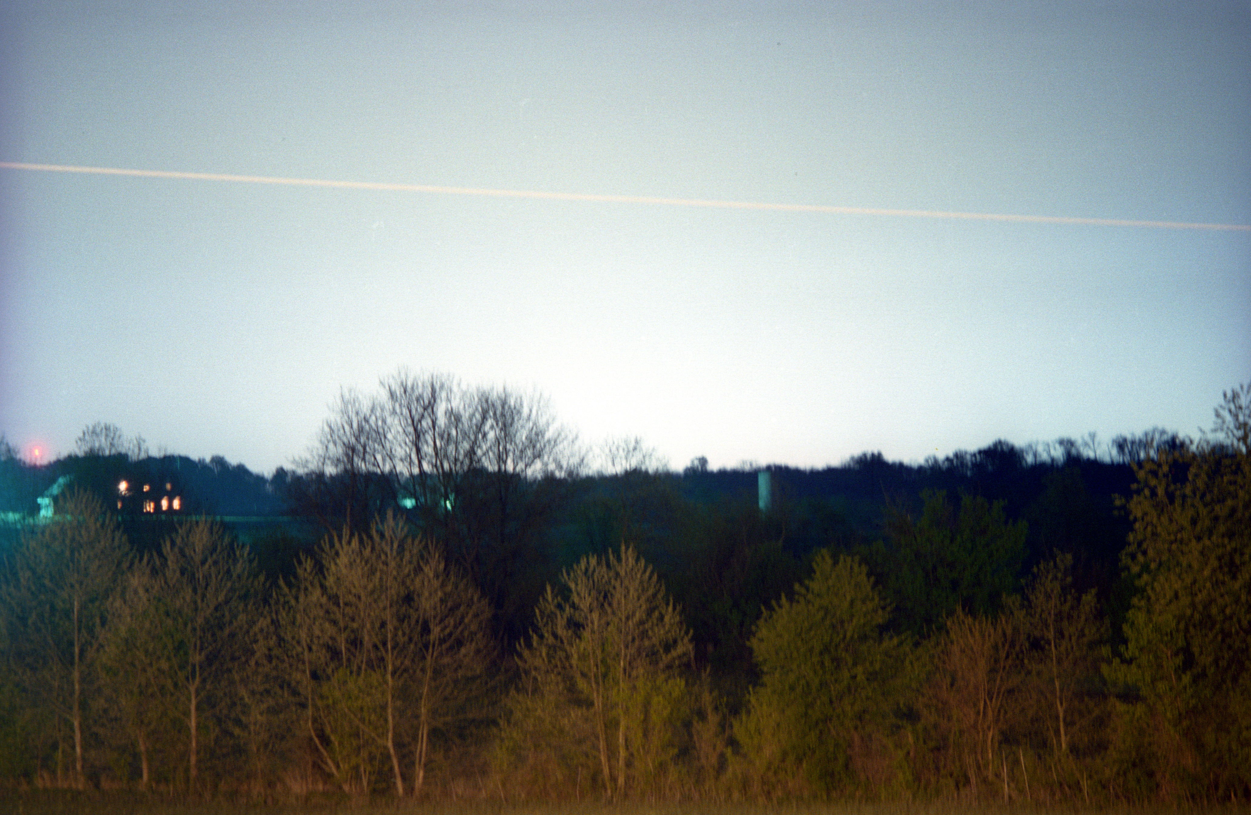
jasper glow
Topographic Map of Harbison Township, IN, USA
Find elevation by address:

Places in Harbison Township, IN, USA:
Places near Harbison Township, IN, USA:
224 W 33rd St
1439 Mill St
Main Street
Jasper
Bainbridge Township
E Schnellville Rd, Jasper, IN, USA
Hochgesang
907 E Eisenhower Ave
Fidel Lane
N Grant St, Jasper, IN, USA
Madison Township
S W, Jasper, IN, USA
Otwell
IN-, Otwell, IN, USA
1969 In-257
IN-, Velpen, IN, USA
Jefferson Township
Velpen
6597 S State Rd 257
Marion Township
Recent Searches:
- Elevation of Corso Fratelli Cairoli, 35, Macerata MC, Italy
- Elevation of Tallevast Rd, Sarasota, FL, USA
- Elevation of 4th St E, Sonoma, CA, USA
- Elevation of Black Hollow Rd, Pennsdale, PA, USA
- Elevation of Oakland Ave, Williamsport, PA, USA
- Elevation of Pedrógão Grande, Portugal
- Elevation of Klee Dr, Martinsburg, WV, USA
- Elevation of Via Roma, Pieranica CR, Italy
- Elevation of Tavkvetili Mountain, Georgia
- Elevation of Hartfords Bluff Cir, Mt Pleasant, SC, USA