Elevation of Harbison Rd, Cedarville, OH, USA
Location: United States > Ohio > Greene County > Cedarville Township >
Longitude: -83.824824
Latitude: 39.7511239
Elevation: 314m / 1030feet
Barometric Pressure: 98KPa
Elevation Map:
Satellite Map:
Related Photos:

9056ex black raspberries **Explore**

Street View of the Clifton Mill

4785ex2 snowy farmlands

Clifton Gorge
Hidden Bridge in the Glen | Yellow Springs, Ohio

The Bridge is Out

Please, Step On In | Yellow Springs, Ohio

Clifton Mill
Path of Destruction

Brick Fortress

Detail of Greene County Courthouse IMG_3779

Blue Hole

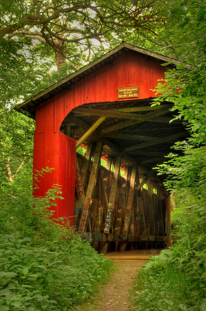
Covered Bridge (3D)
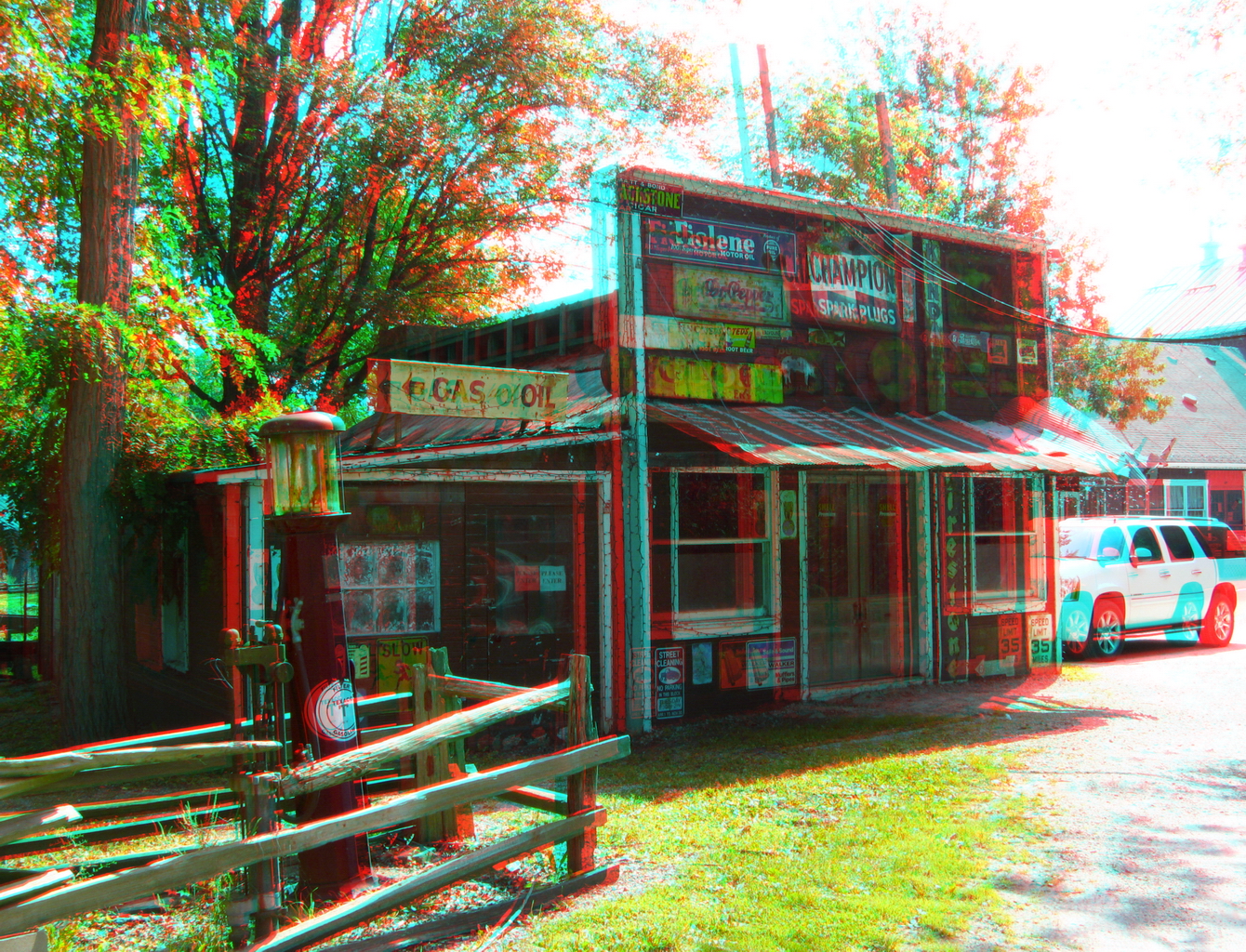
Hardware & Gas (3D)

Hardware & Gas (3D)

Clifton Gorge — Miami Township, Greene County, Ohio

The Village Smithy (3D)

Clifton Mill (3D)

View of Xenia
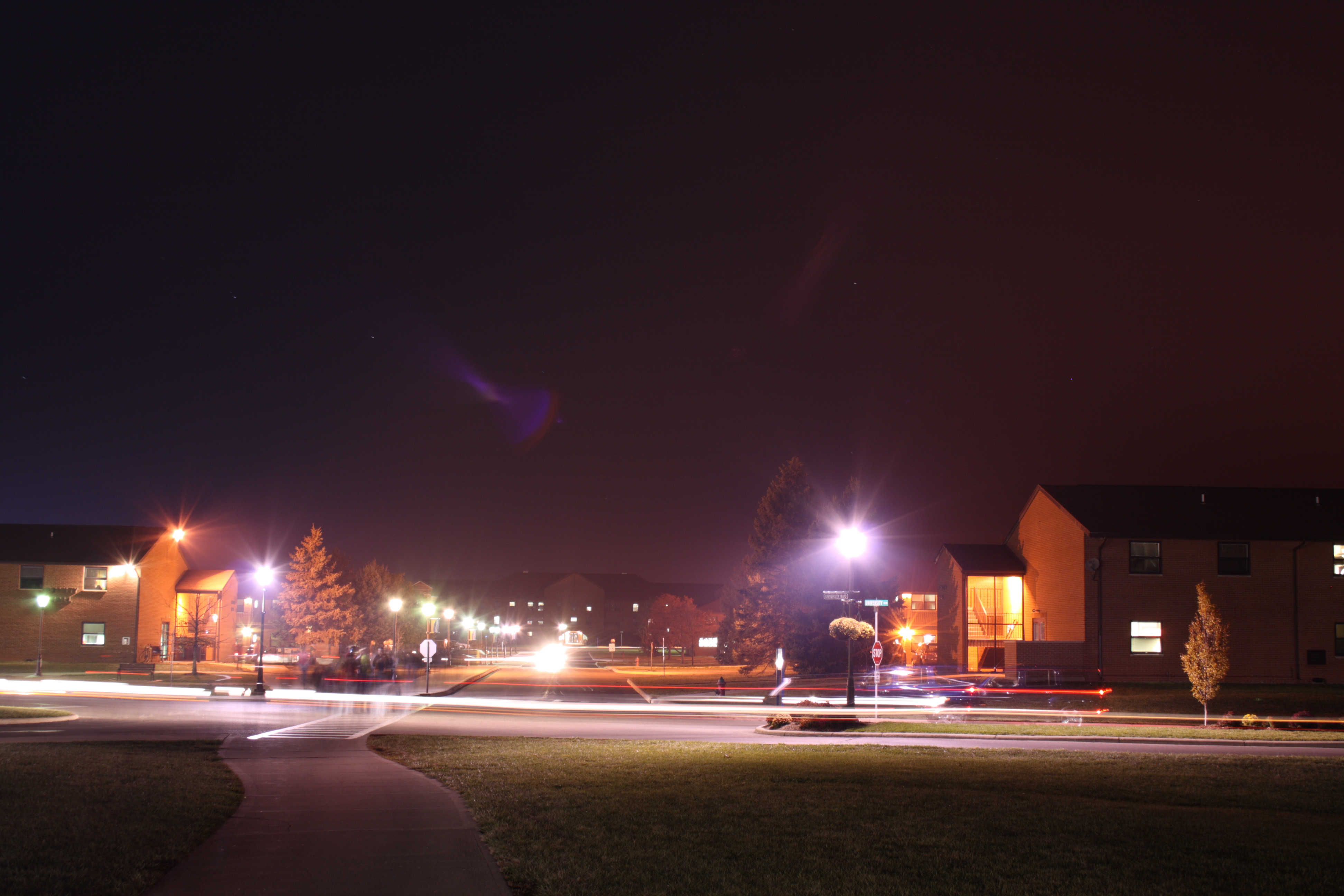
After hours

Clifton Mill view

Yellow Springs, Ohio

2021-06-05 First hint of dawn

Together At Last

Falls Of The Little Miami

day is done

Sunflower Field in Yellow Springs Ohio

Cedar Cliff Lower Falls

Oasis in the Glen | Yellow Springs, Ohio

Lower Falls on Massies Creek

Winter Has Arrived

The Little Miami At Clifton

The Cascades of Glen Helen

Corn Field

sunset-xenia,oh

Glen Helen Nature Preserve - Yellow Springs, Ohio

Clifton Mill

Xenia-Former Ohio Veterans' Children's Home Facility (COAF)

Waterfall in Glen Helen, Yellow Springs, OH

The Narrows

Glen Helen
Topographic Map of Harbison Rd, Cedarville, OH, USA
Find elevation by address:

Places near Harbison Rd, Cedarville, OH, USA:
Cedarville
Railroad Street
Cedarville Township
Main Street
Clifton
3595 Kyle Rd
Miami Township
Yellow Springs
100 Dayton St
325 Kingsfield Ct
Green Township
2994 W Jackson Rd
Yellow Springs, OH, USA
5700 Selma Pike
340 Yellow Springs Fairfield Rd
Selma Rd, Springfield, OH, USA
Selma Pike, South Charleston, OH, USA
US-68, Xenia, OH, USA
Orchard Lane Events
S Tecumseh Rd, Springfield, OH, USA
Recent Searches:
- Elevation of Corso Fratelli Cairoli, 35, Macerata MC, Italy
- Elevation of Tallevast Rd, Sarasota, FL, USA
- Elevation of 4th St E, Sonoma, CA, USA
- Elevation of Black Hollow Rd, Pennsdale, PA, USA
- Elevation of Oakland Ave, Williamsport, PA, USA
- Elevation of Pedrógão Grande, Portugal
- Elevation of Klee Dr, Martinsburg, WV, USA
- Elevation of Via Roma, Pieranica CR, Italy
- Elevation of Tavkvetili Mountain, Georgia
- Elevation of Hartfords Bluff Cir, Mt Pleasant, SC, USA