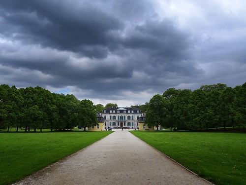
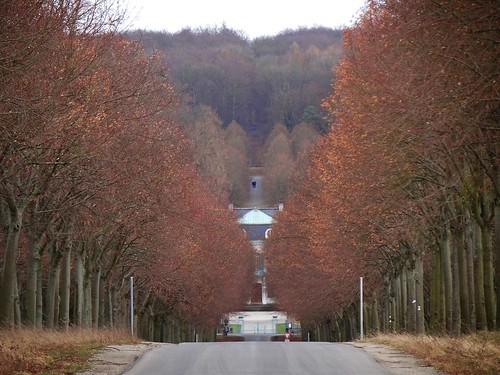
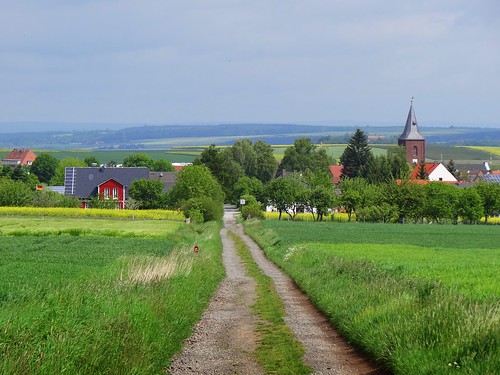
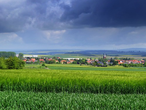
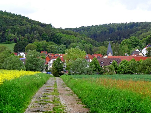
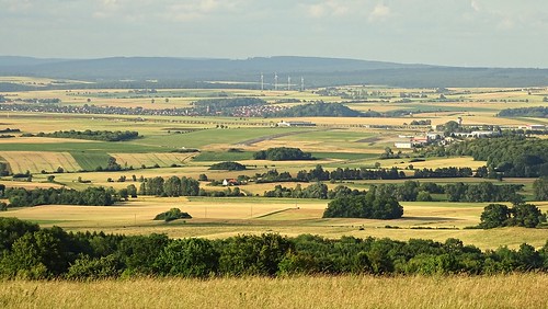
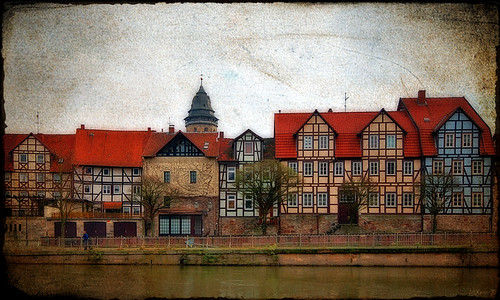
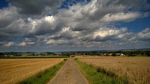
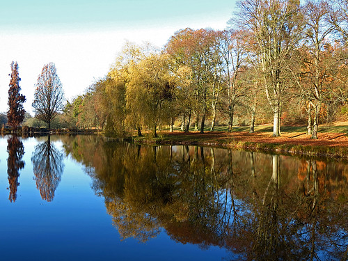
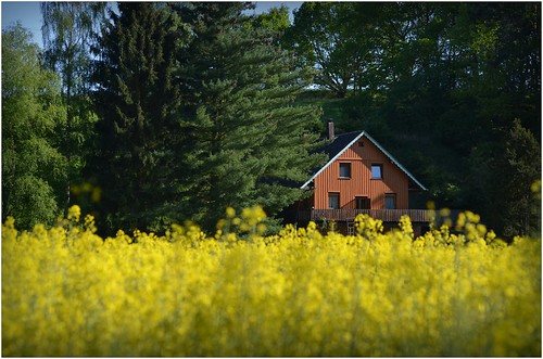
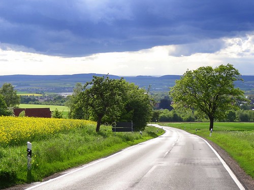
Elevation of Hannoversche Str., Niestetal, Germany
Location: Germany > Hesse > Kassel > Niestetal > Sandershausen >
Longitude: 9.55124
Latitude: 51.32214
Elevation: 146m / 479feet
Barometric Pressure: 100KPa
Related Photos:
Topographic Map of Hannoversche Str., Niestetal, Germany
Find elevation by address:

Places near Hannoversche Str., Niestetal, Germany:
Sandershausen
Niestetal
Bergshäuser Str. 50
Kassel
Querallee 41
Samuel-beckett-anlage
Vorderer Westen
Escheröder Str. 3, Staufenberg, Germany
Dahlheim
Staufenberg
Arolser Str. 5
Vogelsang 8
Uhlenhorststraße 1, Kassel, Germany
Hann. Münden
Brasselsberg
Röhrenfurth
Wiershäuser Weg 136
Weg an der Bahn 13, Melsungen, Germany
Calden
Laubacher Str. 42, Hann. Münden, Germany
Recent Searches:
- Elevation of Corso Fratelli Cairoli, 35, Macerata MC, Italy
- Elevation of Tallevast Rd, Sarasota, FL, USA
- Elevation of 4th St E, Sonoma, CA, USA
- Elevation of Black Hollow Rd, Pennsdale, PA, USA
- Elevation of Oakland Ave, Williamsport, PA, USA
- Elevation of Pedrógão Grande, Portugal
- Elevation of Klee Dr, Martinsburg, WV, USA
- Elevation of Via Roma, Pieranica CR, Italy
- Elevation of Tavkvetili Mountain, Georgia
- Elevation of Hartfords Bluff Cir, Mt Pleasant, SC, USA

