Elevation of Hannahs Mill Rd, Thomaston, GA, USA
Location: United States > Georgia > Upson County > Thomaston >
Longitude: -84.343781
Latitude: 32.9052487
Elevation: 237m / 778feet
Barometric Pressure: 99KPa
Elevation Map:
Satellite Map:
Related Photos:
pike county georgia

upson county georgia

flint river

flint river
flint river

3:35 PM : November 11 2015
flint river
flint river

flint river
flint river

Sprewell Bluff, GA
The "Natural Dam" on the Flint River

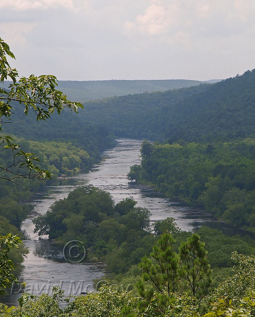
Flint River at Sprewell Bluff
SB11 pano
Sprewell Bluff observation deck on Flint River
Flint River Sprewell Bluff
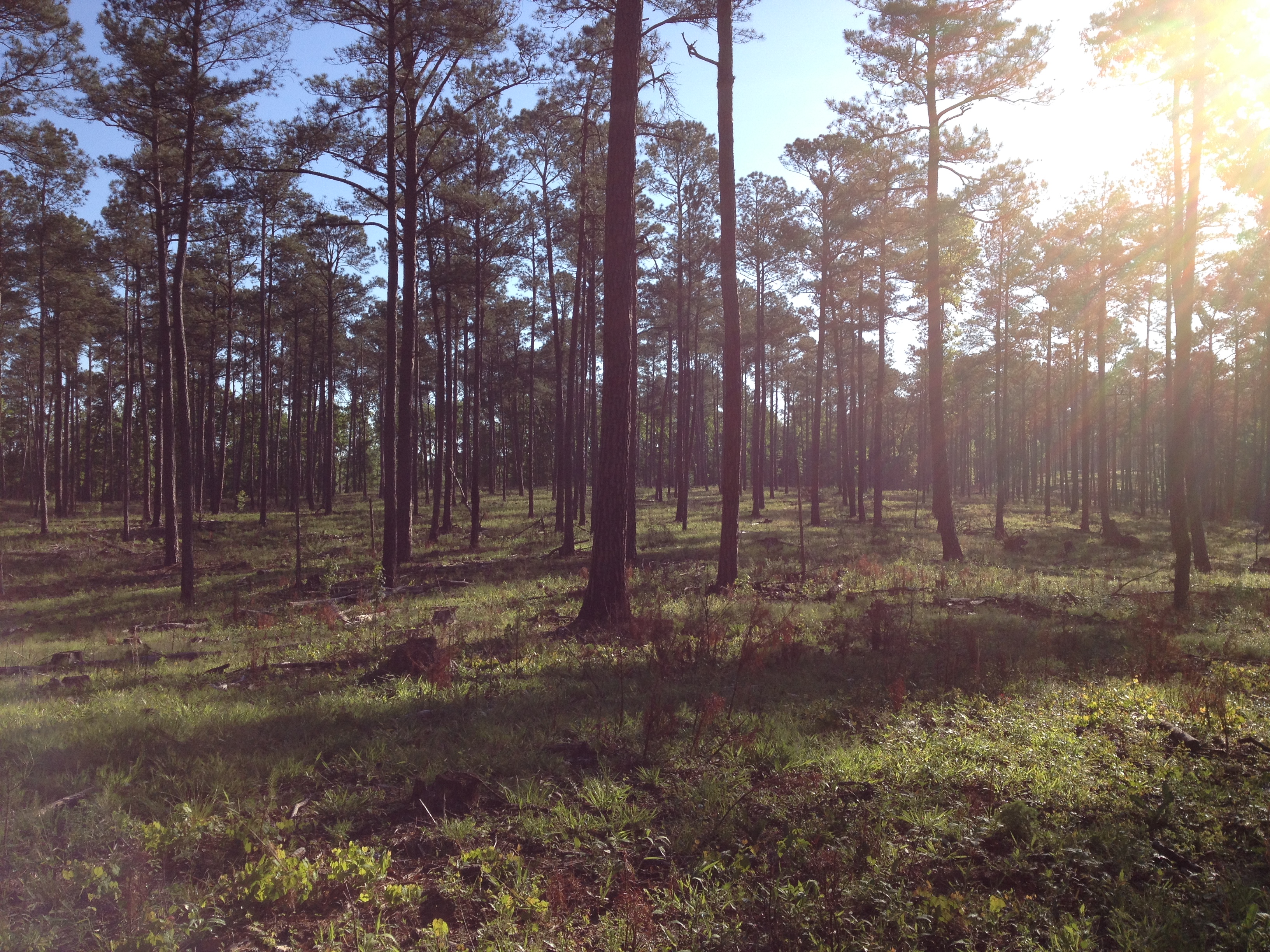
Sprewell Bluff SB04. Selective cut pinewoods, May 2014.

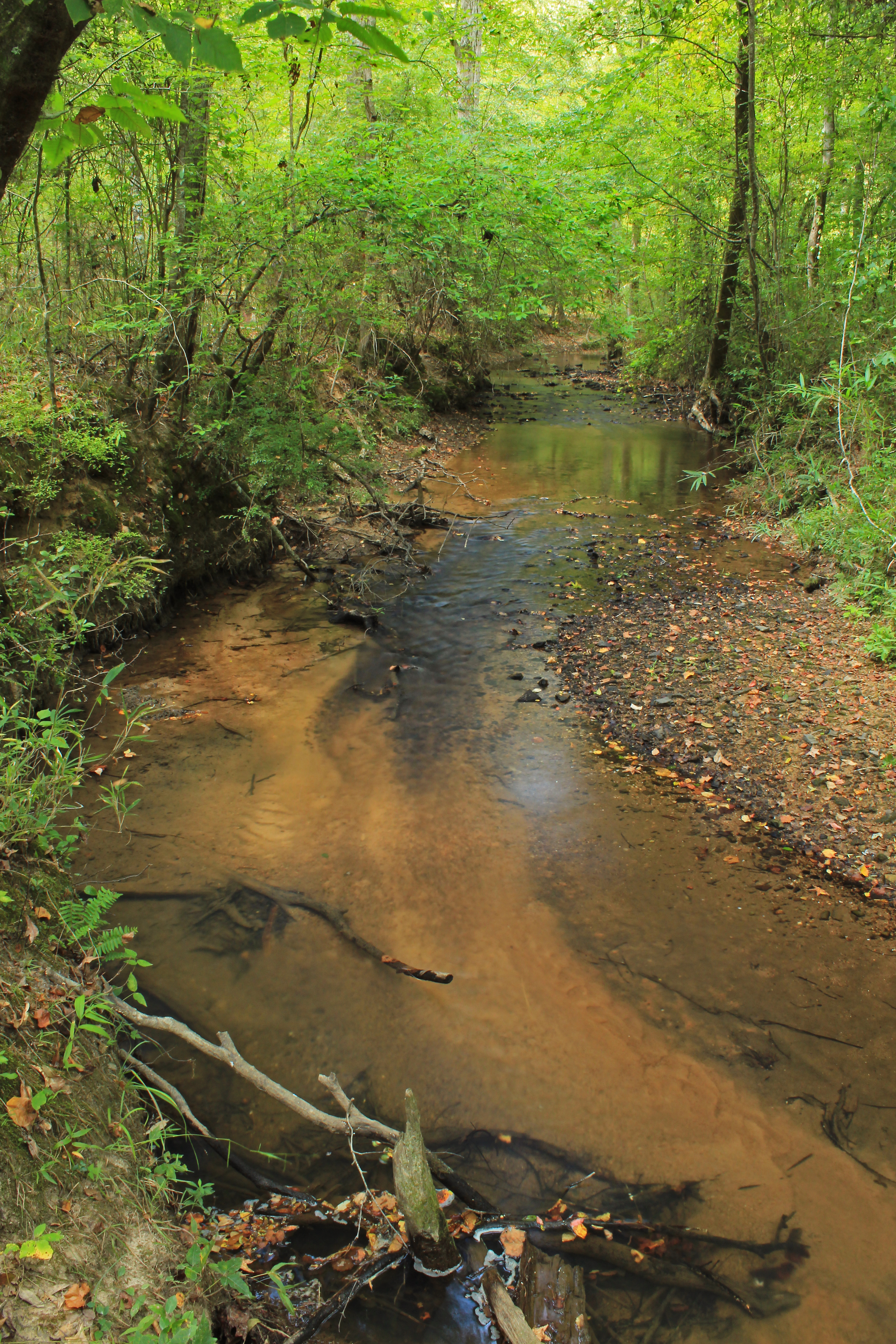
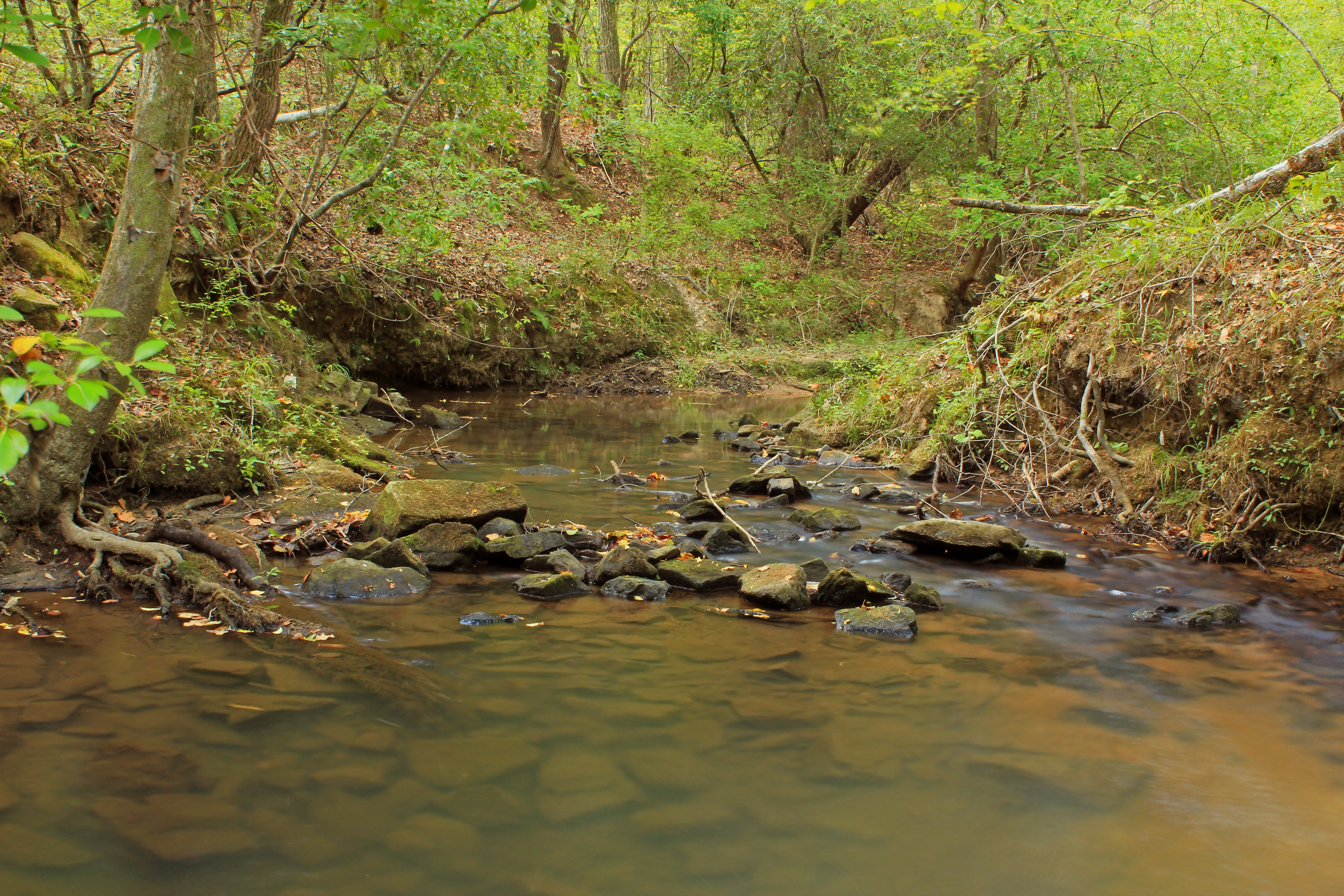
Jerry Reeves Creek, upstream of Highway 36, U.S.G.S. sample site, Upson County, Georgia 3

Stump by a beach
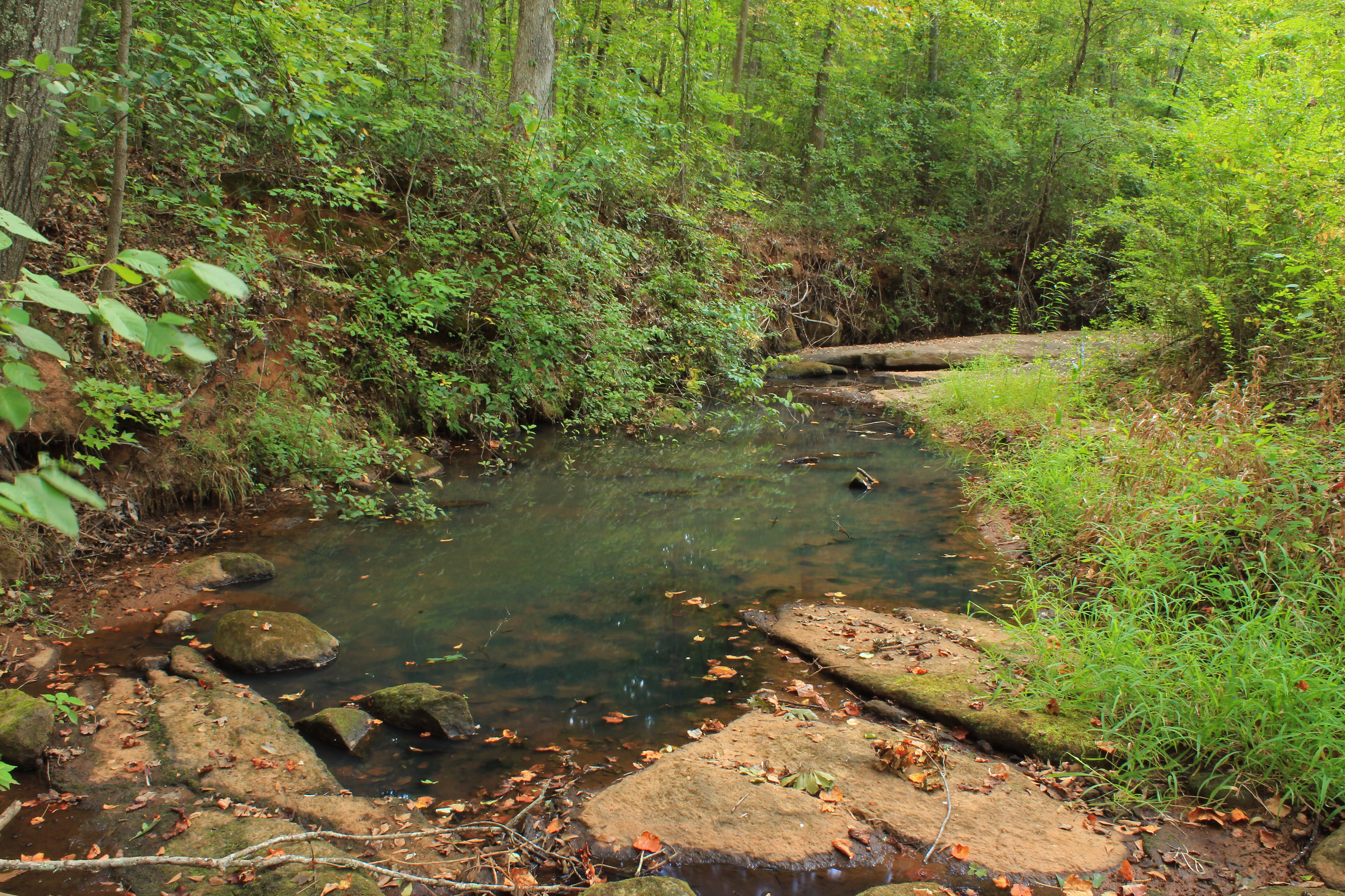
Threemile Creek, unit 2, U.S.G.S. sample site, Pike County, Georgia 1
Rose Creek, unit 2, U.S.G.S. sample site, Upson County, Georgia 4

Threemile Creek, unit 3, U.S.G.S. sample site, Pike County, Georgia 1

Camera Roll-42

flint river
Threemile Creek, unit 3, U.S.G.S. sample site, Pike County, Georgia 2

Sprewell's Bluff @ Flint River

Sprewell Bluff
Topographic Map of Hannahs Mill Rd, Thomaston, GA, USA
Find elevation by address:

Places near Hannahs Mill Rd, Thomaston, GA, USA:
Georgia 74
Thomaston
Thomaston
Thomaston
Thomaston
Thomaston
Thomaston
Thomaston
Thomaston
Thomaston
Thomaston
Thomaston
Thomaston
Thomaston
Thomaston
Thomaston
Thomaston
Thomaston
Thomaston
Thomaston
Recent Searches:
- Elevation of Corso Fratelli Cairoli, 35, Macerata MC, Italy
- Elevation of Tallevast Rd, Sarasota, FL, USA
- Elevation of 4th St E, Sonoma, CA, USA
- Elevation of Black Hollow Rd, Pennsdale, PA, USA
- Elevation of Oakland Ave, Williamsport, PA, USA
- Elevation of Pedrógão Grande, Portugal
- Elevation of Klee Dr, Martinsburg, WV, USA
- Elevation of Via Roma, Pieranica CR, Italy
- Elevation of Tavkvetili Mountain, Georgia
- Elevation of Hartfords Bluff Cir, Mt Pleasant, SC, USA