Elevation of Hanky Mountain Hwy, Churchville, VA, USA
Location: United States > Virginia > Augusta County > Pastures > Churchville >

Longitude: -79.243161

Latitude: 38.2853244

Elevation: 536m / 1759feet

Barometric Pressure: 95KPa

Elevation Map:

elevation map of Hanky Mountain Hwy, Churchville, VA, USA
Satellite Map:

Satellite map of Hanky Mountain Hwy, Churchville, VA, USA
Related Photos:

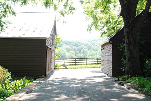
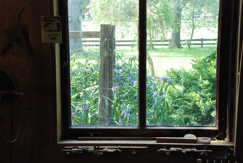
Out the Window
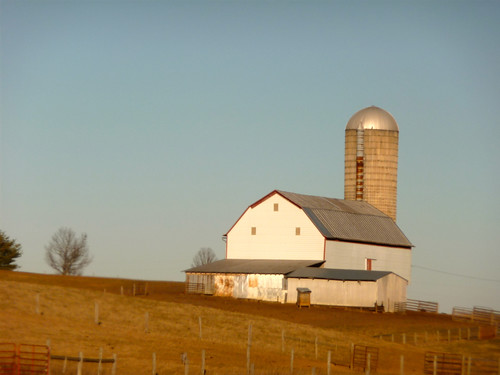
barn virginia farm southernstructures gettyvacation2010
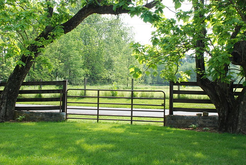
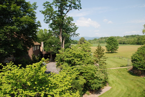
Virginia view
summer country va watermill counrtyside hangermill gettyvacation2010
view of the country
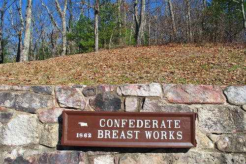
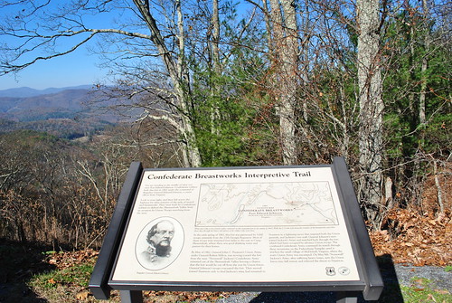
virginia civilwar va trenches confederatebreastworks breastworks shenandoahmountain
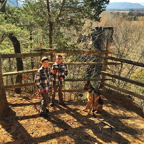
Chris hikes the Breastworks
square squareformat iphoneography instagramapp uploaded:by=instagram
The older two boys, Raven and I hiked up to the top of a trail that brought us just above the natural chimneys. What an amazing view from up there!
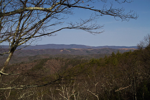
winter virginia march blueskies 2011 canon24105l augustacounty confederatebreastworks march2011 highlandmaplefestival
Highland Maple Festival - Wintry Vista
mill virginia hangermill gettyvacation2010
view from the wood shop
virginia farmlife amtrakviews
Virginia: West of Staunton
gettyvacation2010
the view from the top of the mill
2014 virginia unitedstates pastures churchesandreligioussubjectmatter prettygoodpicture 100butlessthan200 panoramio707065112925903 buffalogappresbyterianchurch3818763179244328 googleplacecmrraaaa2ijdoevcyyxdpfewleuokqzfxpeipvipb21vgb8v14z googleplacecmrraaaa2ijdoevcyyxdpfewleuokqzfxpeipvipb21vgb8v14z2b4nbxxaeimwla1tea13lana4r9sp1d7255fda08q0ogsvlwkolktx1ti6f6mwe3crvuij5gbmpvgwq6o0ehbmhjmo3jl3kakmozdyj4alghtzac0tz44raqpn782bs3h69pumdq
VIRGINIA: AUGUSTA COUNTY: SWOOPE: Buffalo Gap Presbyterian Church, 12 Old Parkersburg Turnpike (S.R. 688) mountain view in the rain
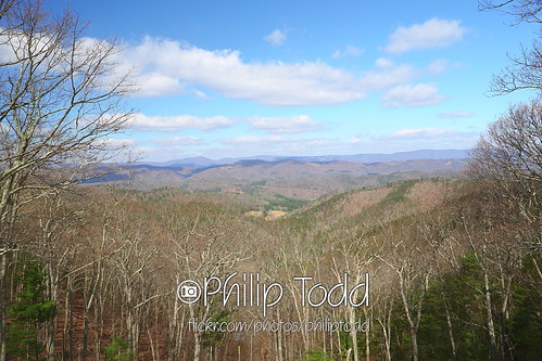
civilwar highlandcounty breastworks shenandoahmoutain
CONFEDERATE BREAST WORKS
2011 TWOT (4)
MMB - August 2009
civilwar scenicview highlandcounty breastworks shenandoahmoutain
SHENANDOAH MOUNTAIN
civilwar scenicview highlandcounty breastworks shenandoahmoutain
SHENANDOAH MOUNTAIN
MMB - August 2009
civilwar scenicview highlandcounty breastworks shenandoahmoutain
SHENANDOAH MOUNTAIN
geotagged civilwar scenicview highlandcounty breastworks shenandoahmoutain
SHENANDOAH MOUNTAIN
trees mountains
View from Fort Edward Johnson
CIVIL WAR MARKER
Hot TWOT 2015 Saturday Katie Keier Loop 3
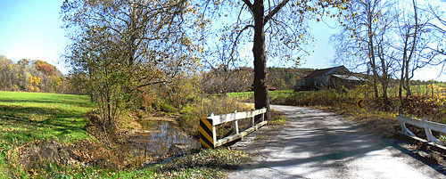
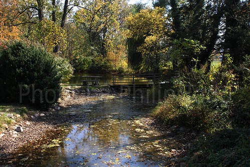
road bridge autumn panorama color fall barn landscape virginia us unitedstates farm bluesky fallfoliage va autumncolor 2014 byway
Bridge Crossing Moffett creek
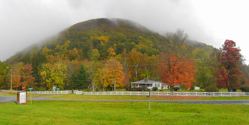
autumn panorama house mist mountains fog clouds landscape virginia us woods rainyday unitedstates forrest fallfoliage va autumncolor 2014 augustacounty
Fog on the Mountain
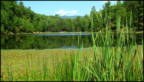
county west macro nature water forest outdoors virginia george washington pond hiking nation hike 03 september valley augusta shenandoah 2008 pon draft ramseys ramseysdraft georgewashingtonnationalforest gwnf braley mywinners braleypond
Braley Pond
trees confederate civilwar forests forts fortedwardjohnson
Remains of Fort Edward Johnson
IMG_5741_2 active
IMG_5730_2 stream
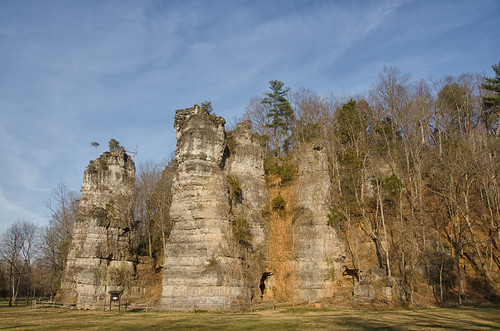
december day va 2012 naturalchimney pwpartlycloudy
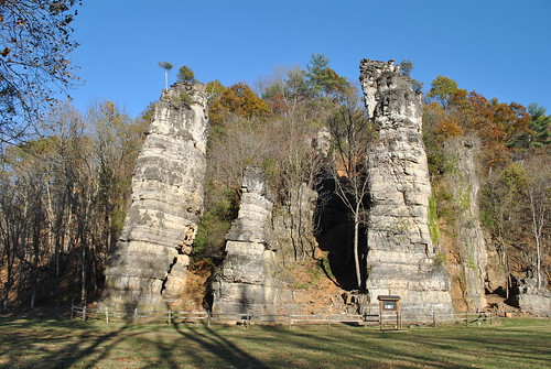
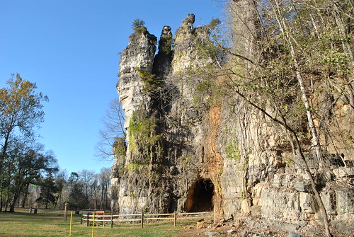
Natural Chimneys
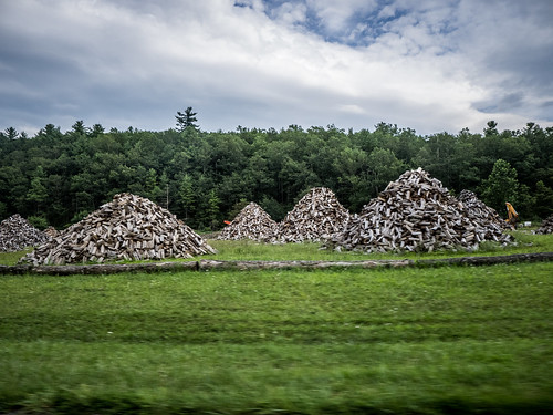
virginia unitedstates roadtrip va westaugusta
Wood Piles in Virginia
mobile photography photo iphone
Pocket Darkroom
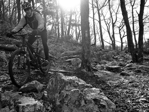
bw iphone
Dave - B&W
Mountains and Clouds
2010-10-10 stream fall colors 5772
IMG_5786_2 active
park chimney augustacounty
NATURAL CHIMNEY'S
farm iphone
Looking out at GWNF
Katie's Pics
Katie's Pics
2013-4-13 overlook QQ1A1480x1152
park chimney augustacounty
NATURAL CHIMNEY'S