Elevation of Hank Miller Rd, Troy, TN, USA
Location: United States > Tennessee > Obion County > Troy >
Longitude: -89.233760
Latitude: 36.3039486
Elevation: 131m / 430feet
Barometric Pressure: 100KPa
Elevation Map:
Satellite Map:
Related Photos:
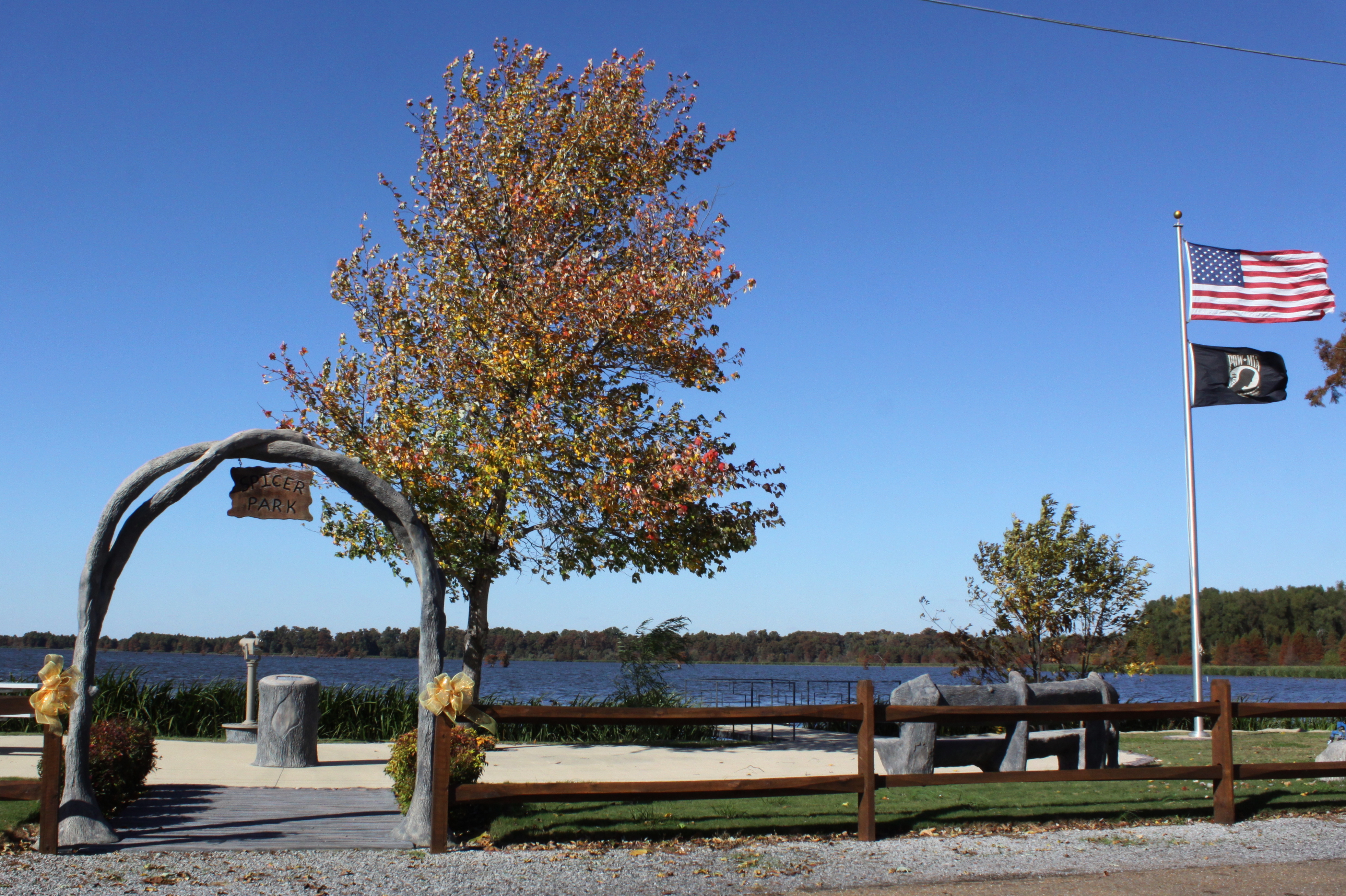
Reelfoot Lake in Autumn: Spicer Park

Railroad Bridge

TFD Eng 11 2016 F-liner M2 106/4 Guys 1250/1000/20A/20B D/A RF

TFD Eng 11 2016 F-liner M2 106/4 Guys 1250/1000/20A/20B D/A (LR)

TFD Eng 11 2016 F-liner M2 106/4 Guys 1250/1000/20A/20B (RS)
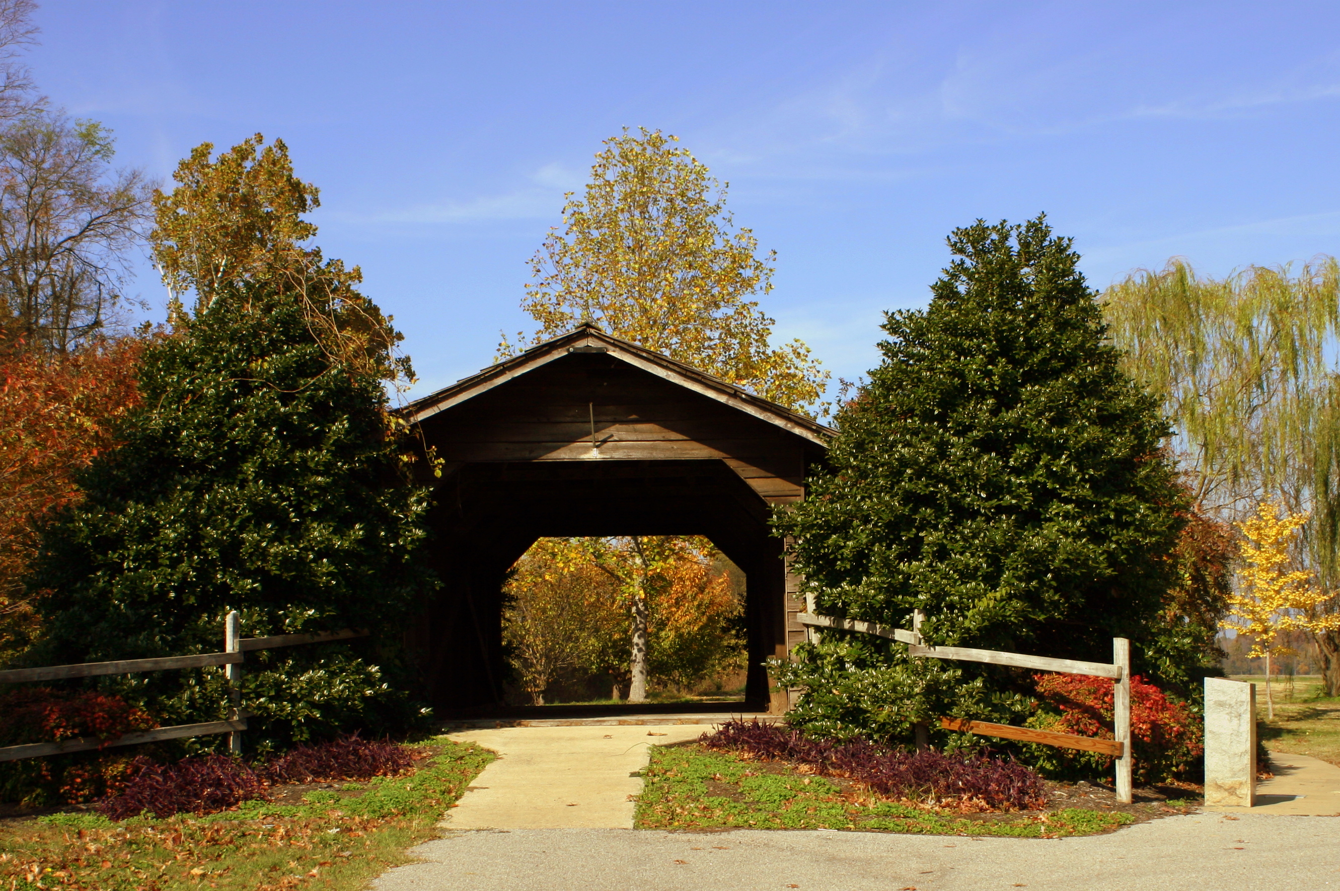
Parks Covered Bridge - Trimble, TN

TFD Eng 11 2016 F-liner M2 106/4 Guys 1250/1000/20A/20B DA (LF)

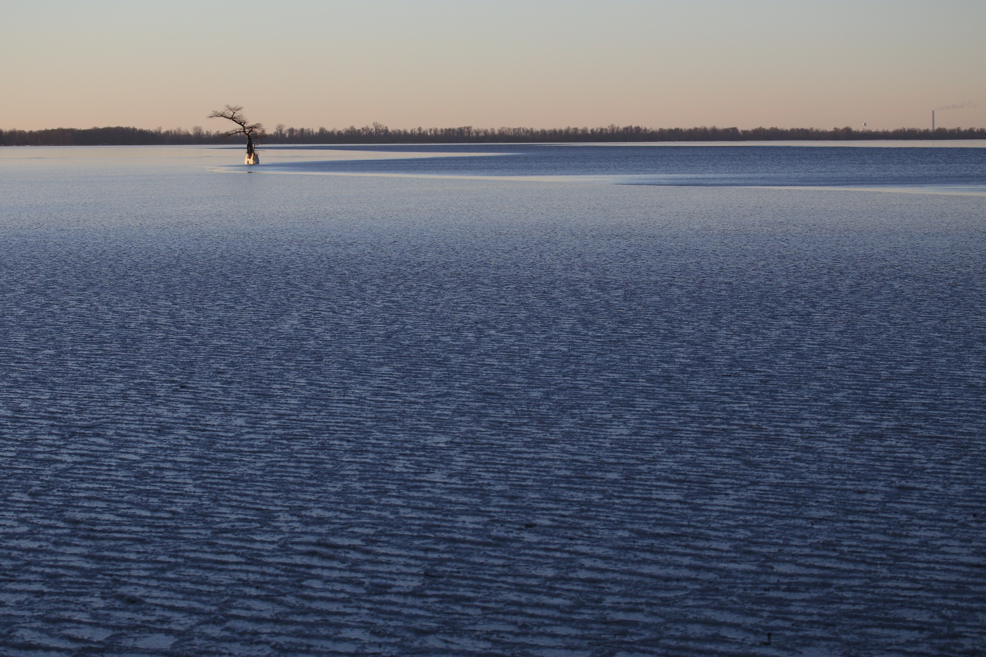
Distant Cypress

Frozen Fountain

Week 19 - Night

Miss Vicki's

Harley in the Window

Kickapoo Joy Juice

Fiberglass Crappie at Reelfoot Lake

Uh oh! Molly noticed Maiya.
Frozen Lake

Samburg Tennessee, Post Office, 38254, Obion County TN

nash automobile

lion gas mural

nash rambler american

lion gas

The Charge/ Southern Battle Flag
Topographic Map of Hank Miller Rd, Troy, TN, USA
Find elevation by address:

Places near Hank Miller Rd, Troy, TN, USA:
Hornbeak
North Main Street
S Wolverine Rd, Troy, TN, USA
Obion County
Troy
448 N Shawtown Rd
4423 Tn-21
Antioch
Shawtown
W Shawtown Rd, Troy, TN, USA
Trimble
Trimble
Palestine Road
N Bluff Rd, Hornbeak, TN, USA
E Ed Moffatt Rd, Union City, TN, USA
39 Cool Springs Rd, Trimble, TN, USA
1460 Butler Rd
202 W Johnson St
Newbern
TN-77, Newbern, TN, USA
Recent Searches:
- Elevation of Corso Fratelli Cairoli, 35, Macerata MC, Italy
- Elevation of Tallevast Rd, Sarasota, FL, USA
- Elevation of 4th St E, Sonoma, CA, USA
- Elevation of Black Hollow Rd, Pennsdale, PA, USA
- Elevation of Oakland Ave, Williamsport, PA, USA
- Elevation of Pedrógão Grande, Portugal
- Elevation of Klee Dr, Martinsburg, WV, USA
- Elevation of Via Roma, Pieranica CR, Italy
- Elevation of Tavkvetili Mountain, Georgia
- Elevation of Hartfords Bluff Cir, Mt Pleasant, SC, USA