Elevation of Hampton Rd, Bay Minette, AL, USA
Location: United States > Alabama > Baldwin County > Bay Minette >
Longitude: -87.799556
Latitude: 30.915786
Elevation: 60m / 197feet
Barometric Pressure: 101KPa
Elevation Map:
Satellite Map:
Related Photos:

Baldwin County Courthouse - Bay Minette, Alabama 2
Kitchen Stagecoach Stop

Major Robert Farmar Plantation Historical Marker Location / P2013-0622D135

The Mound Line Historical Marker and Stockton / P2013-0622D157

Bartram's Trail Historical Marker / P2013-0622D169

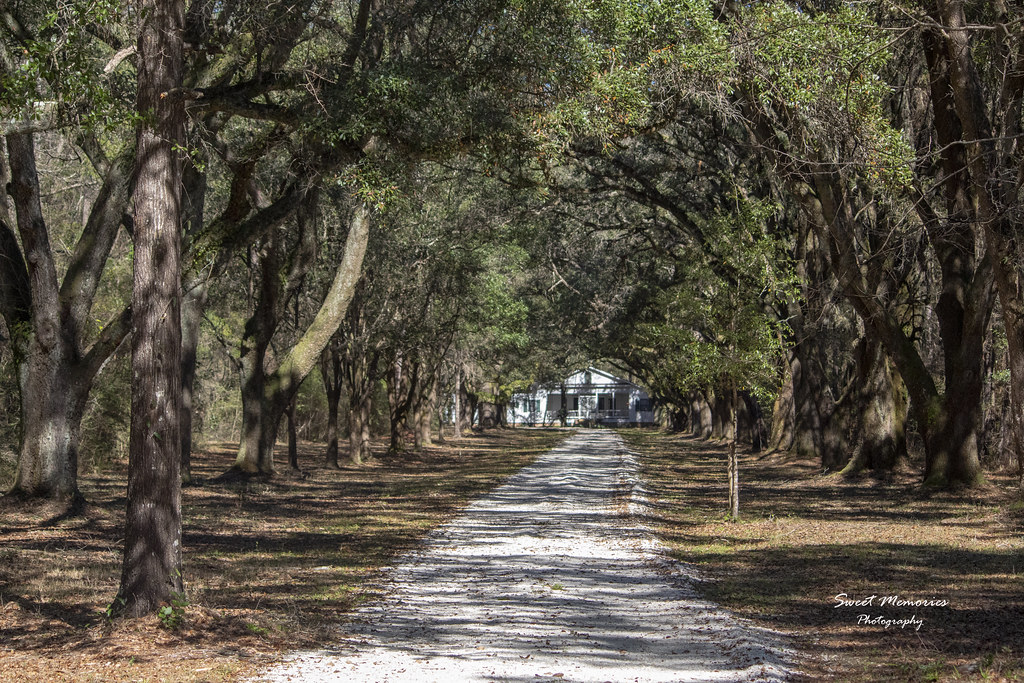
UNBELIEVABLE II

Delta Sunset

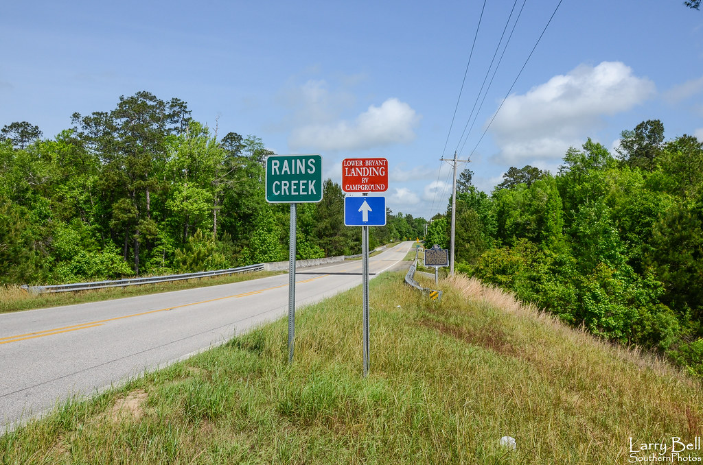
Rains Creek / P2013-0622D127

The Mound Line Historical Marker / P2013-0622D155

OLD PIER
DSC_0211.jpg

March 1971f (2).jpg
img403Apr1973.jpg

December 1970f.jpg

December 1970k.jpg

Artist at Work

DSC_0221.jpg

OLD PIER

DSC_6194-copy-web

DSC_0220.jpg

Ghost Fleet ~ Lower Hall Landing ~ Baldwin County ~ Alabama 024-001

Ghost Fleet ~ Lower Hall Landing ~ Baldwin County ~ Alabama013-001

ABANDONED PIER

ABANDONED PIER

LANDSCAPE B/W

VI Move - SC Drive
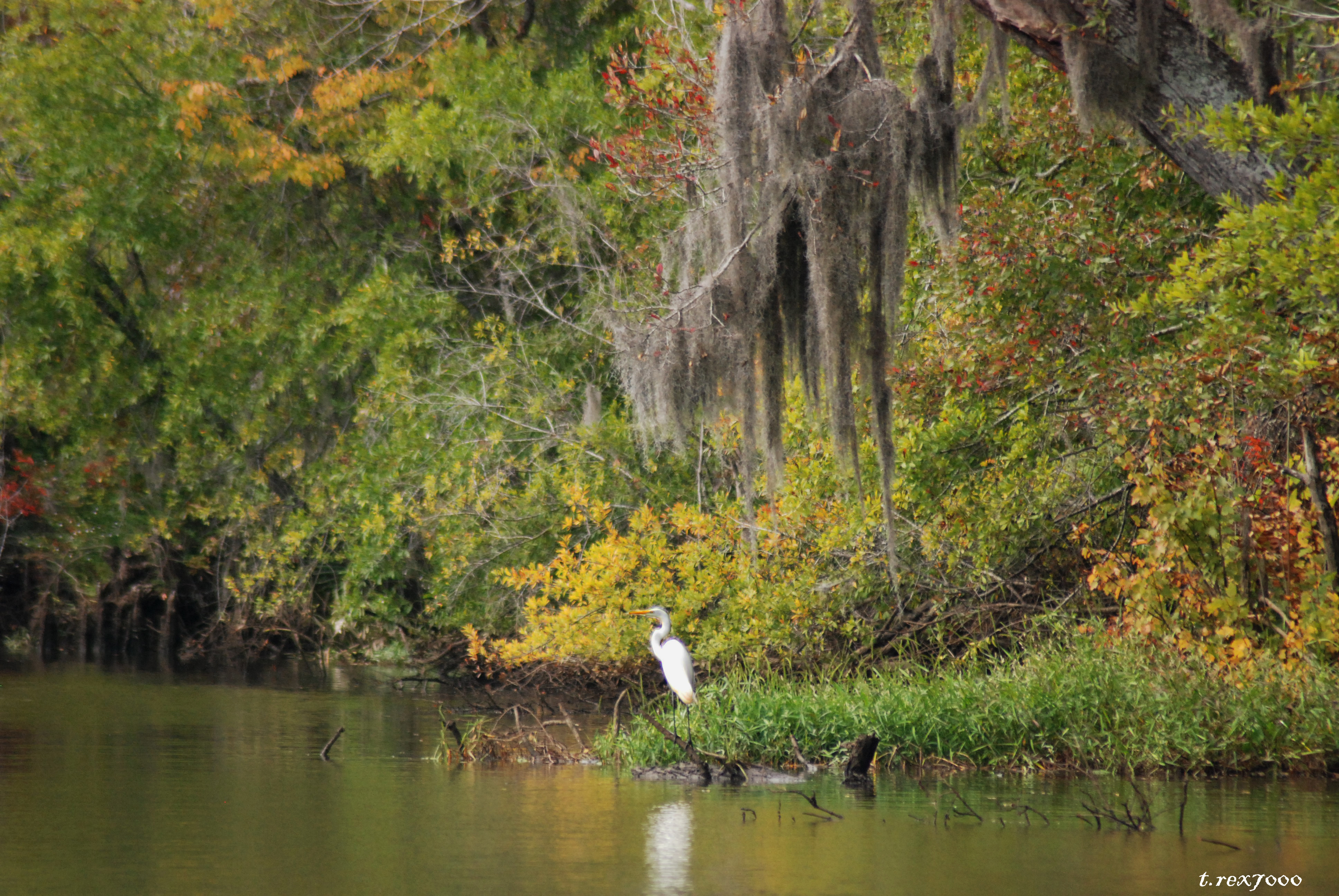
LANDSCAPE W/EGRET

DSC_0217.jpg

Filter play:)

DSC_6578-web
Topographic Map of Hampton Rd, Bay Minette, AL, USA
Find elevation by address:

Places near Hampton Rd, Bay Minette, AL, USA:
1301 Mcmillan Ave
118 W 7th St
605 Hand Ave
Bay Minette
Tall Pine Rd, Bay Minette, AL, USA
Boykin St, Bay Minette, AL, USA
US-31, Bay Minette, AL, USA
46491 Scottish Ln
45550 Oak Ln
Bay Minette, AL, USA
Kaiser Road
Carpenter Ln, Bay Minette, AL, USA
Pine Cir Dr, Bay Minette, AL, USA
Alabama 225
AL-, Bay Minette, AL, USA
9050 Hurricane Rd
42550 J W Davidson Rd
16471 Pine Grove Rd
16471 Pine Grove Rd
Holly Hill Dr, Bay Minette, AL, USA
Recent Searches:
- Elevation of Corso Fratelli Cairoli, 35, Macerata MC, Italy
- Elevation of Tallevast Rd, Sarasota, FL, USA
- Elevation of 4th St E, Sonoma, CA, USA
- Elevation of Black Hollow Rd, Pennsdale, PA, USA
- Elevation of Oakland Ave, Williamsport, PA, USA
- Elevation of Pedrógão Grande, Portugal
- Elevation of Klee Dr, Martinsburg, WV, USA
- Elevation of Via Roma, Pieranica CR, Italy
- Elevation of Tavkvetili Mountain, Georgia
- Elevation of Hartfords Bluff Cir, Mt Pleasant, SC, USA