Elevation of Hampton, NB, Canada
Location: Canada > New Brunswick > Kings County >
Longitude: -65.832168
Latitude: 45.5329511
Elevation: 24m / 79feet
Barometric Pressure: 101KPa
Elevation Map:
Satellite Map:
Related Photos:

Frozen waterfall.

Quispamsis Nature Trail

Frozen waterfall

My Beautiful Wife

"forever"
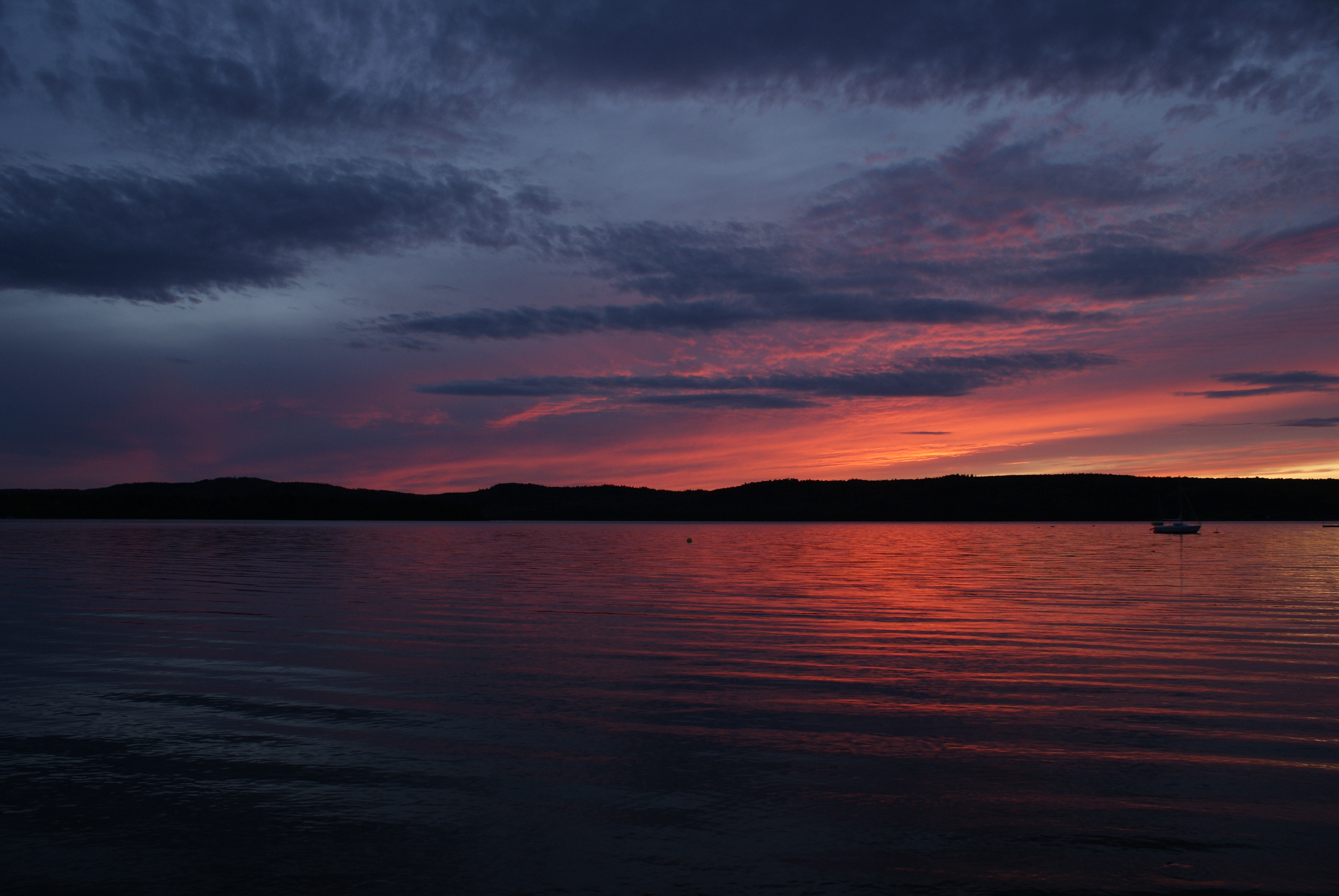
Sunset on the Kennebecasis
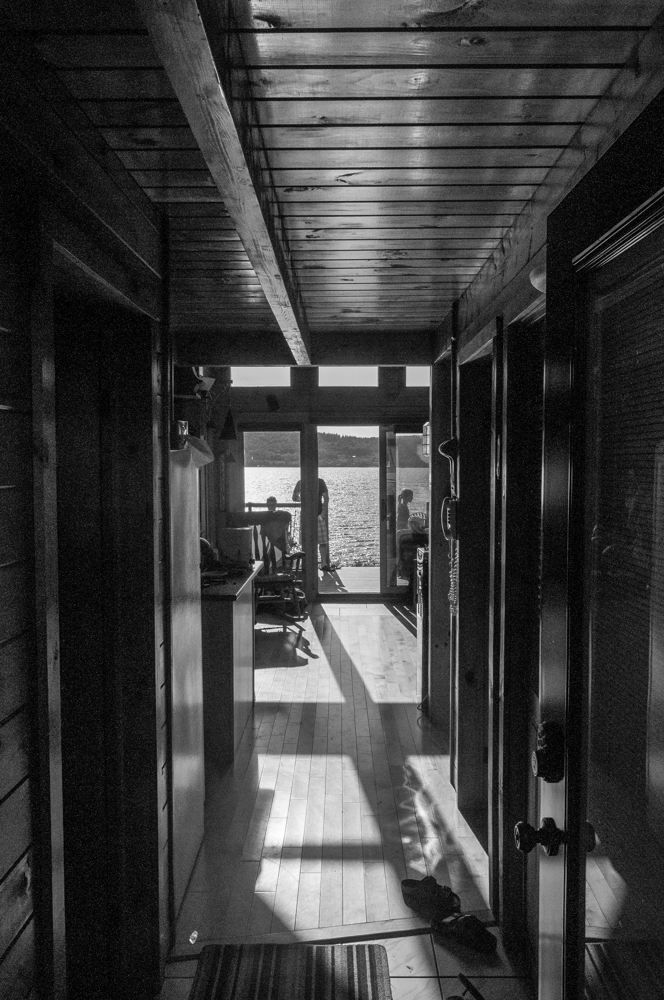
View through the house
View from Hampton
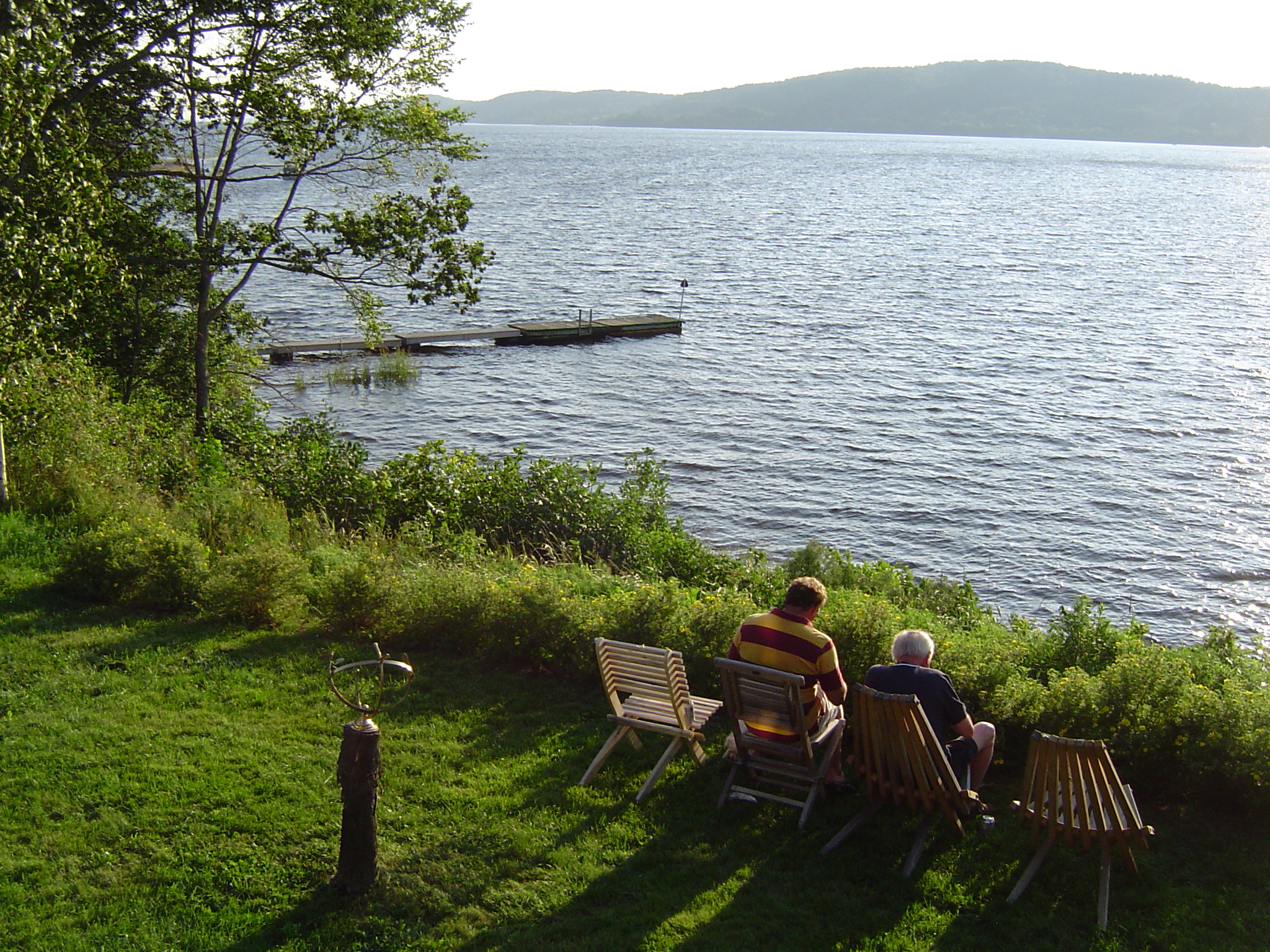
The view from John and Betty's cottage
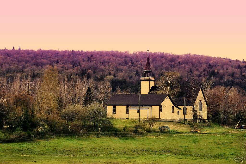
unknown church

"timeline"
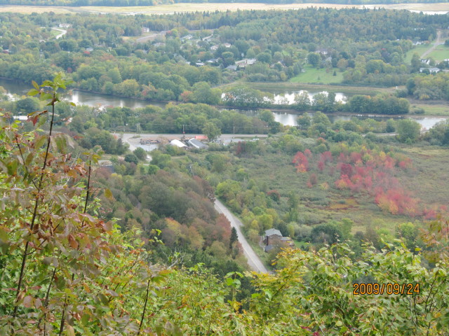
View from Freeze's Mountain
New Brunswick - 2008-08-010
"the 1st wave"
New Brunswick - 2008-08-007
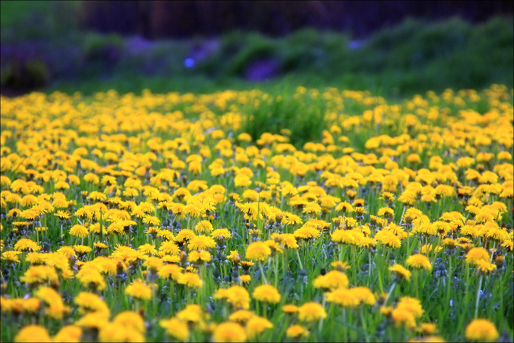
unknown flower
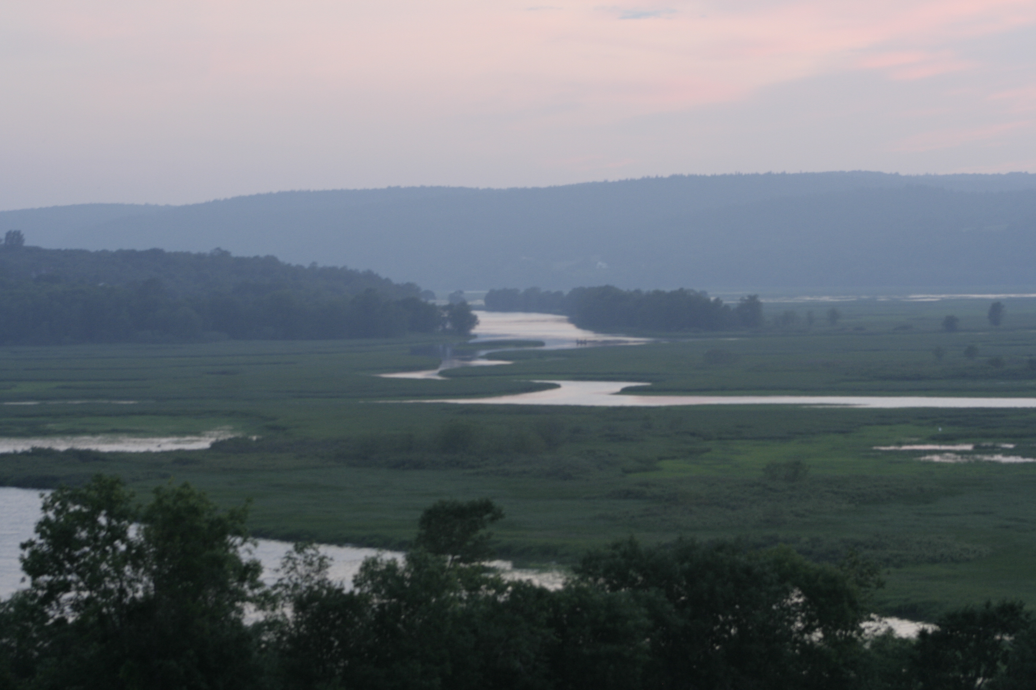
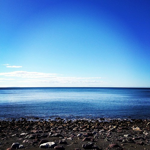
View of the marshes

Sun Rise 2
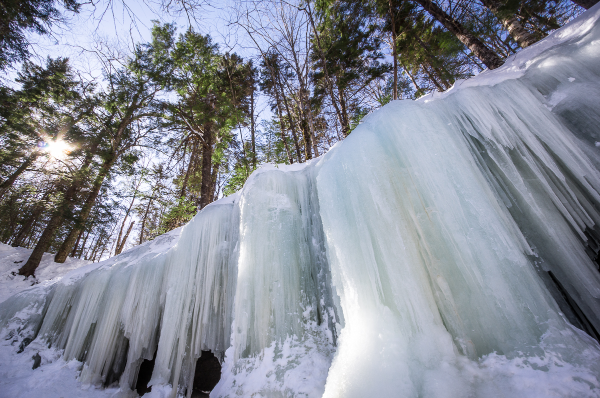
Ice Wall
FCC field trip - Hammond River

FCC field trip - Hammond River
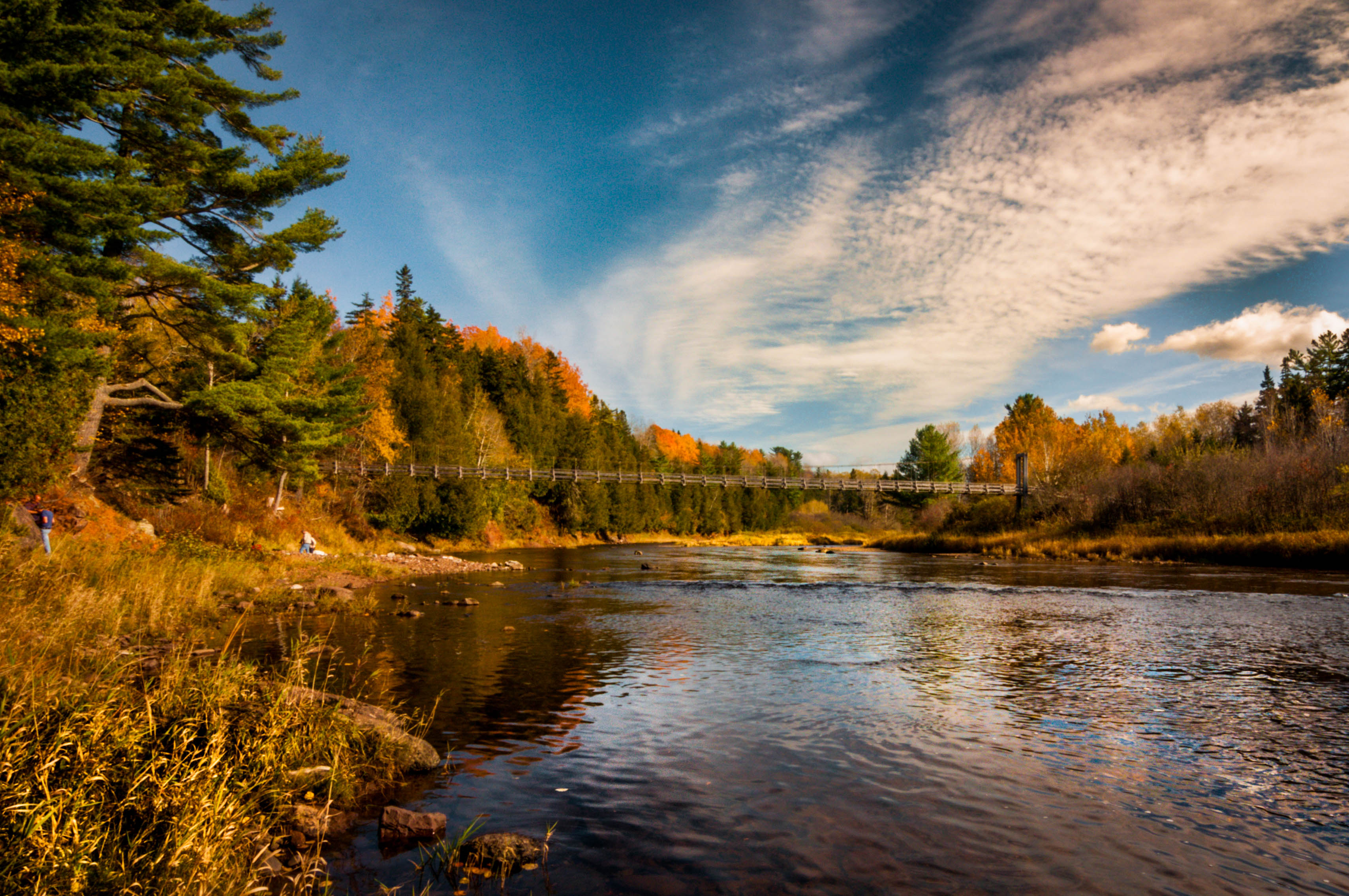
FCC field trip - Hammond River
Not quite as nice as #running in #trinitybellwoods, but the #qplex parking lot will do.
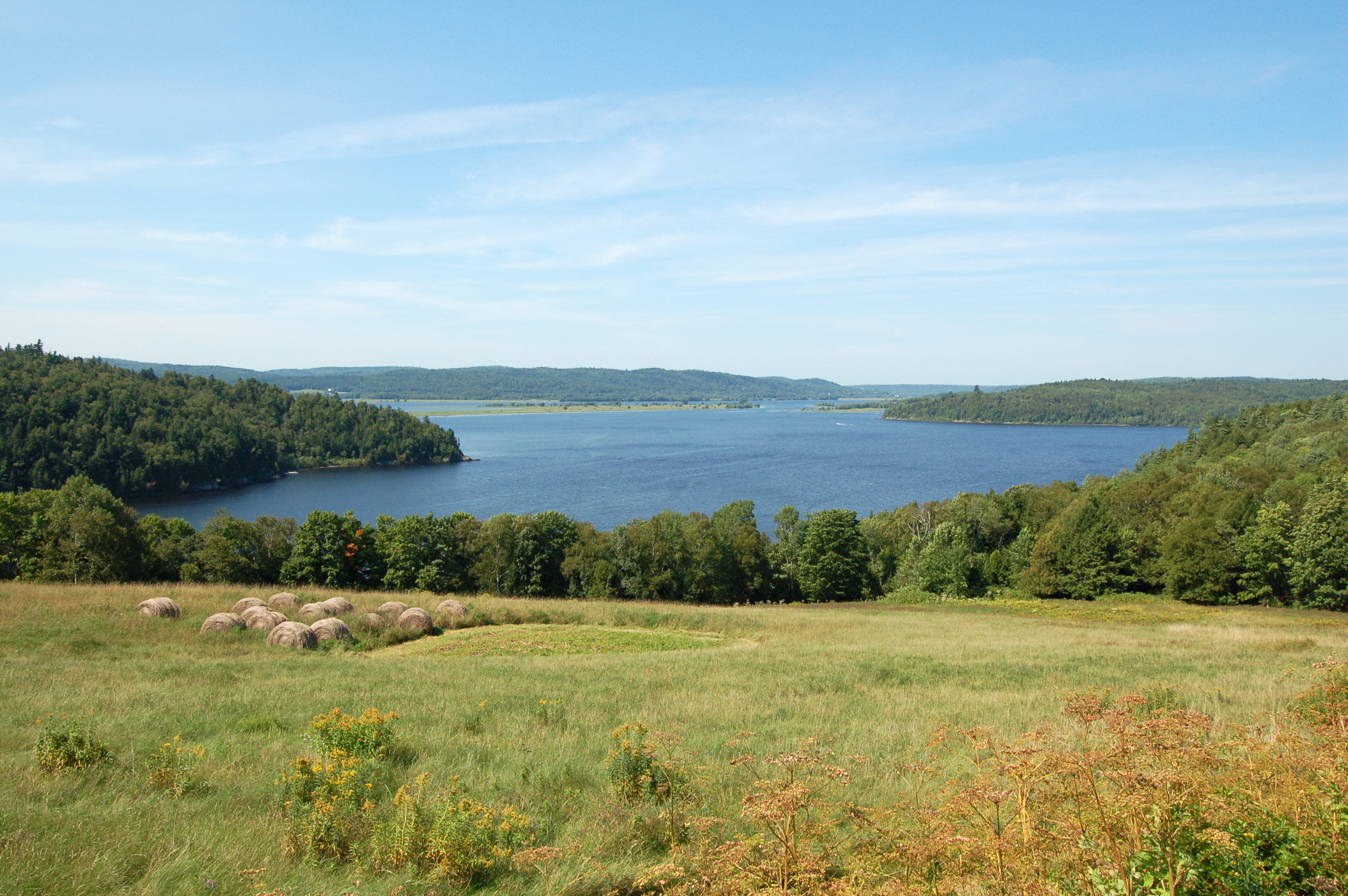
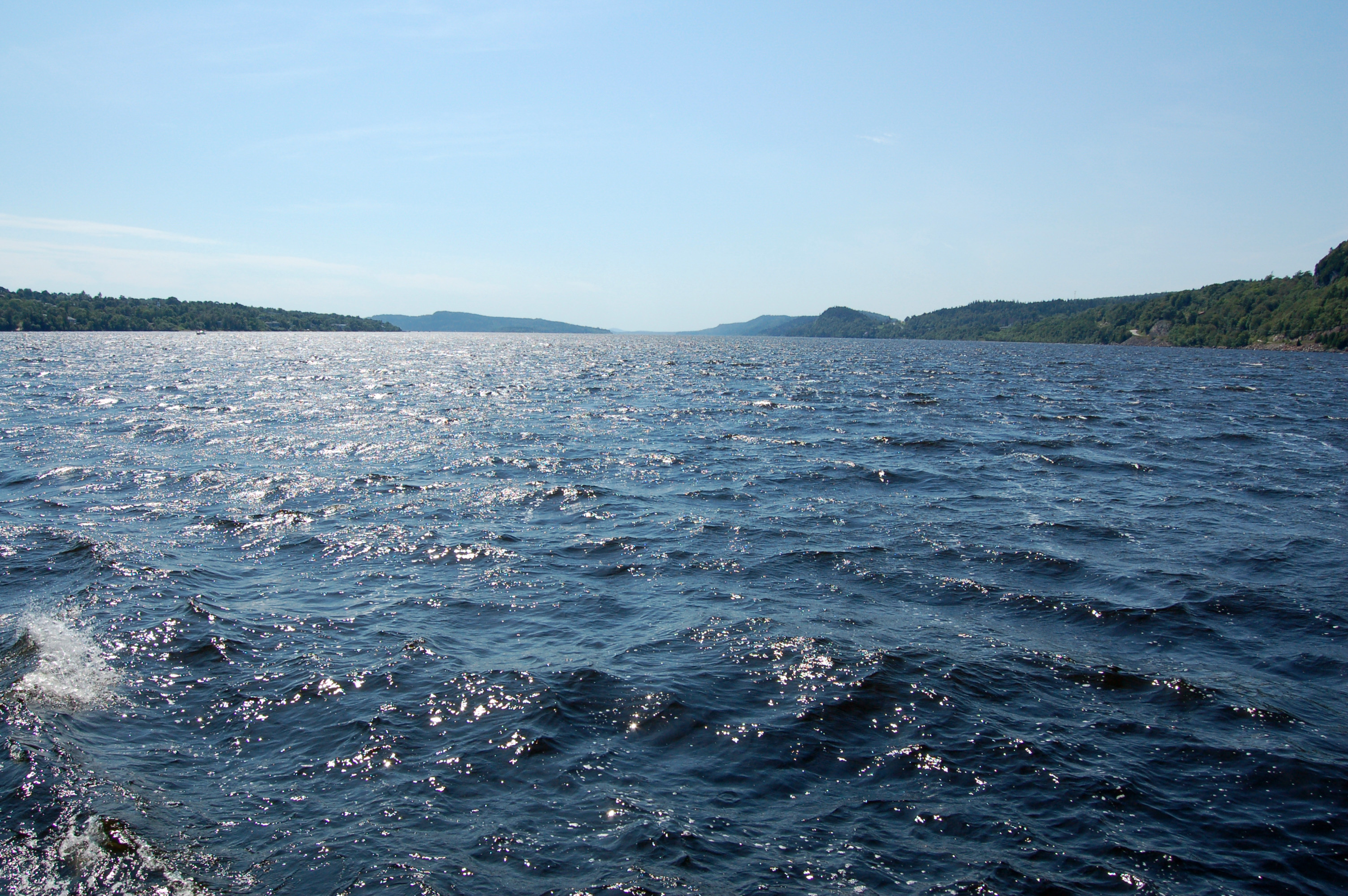
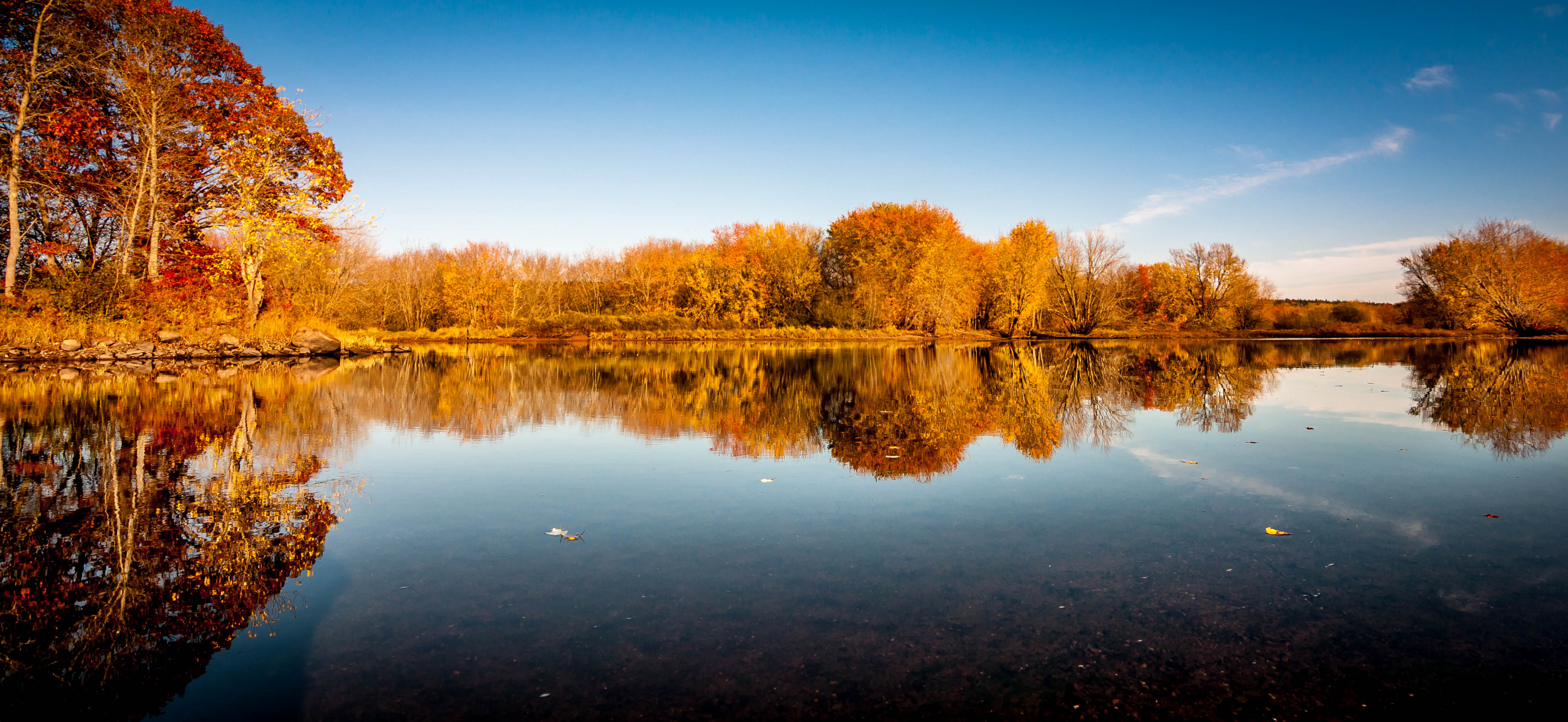
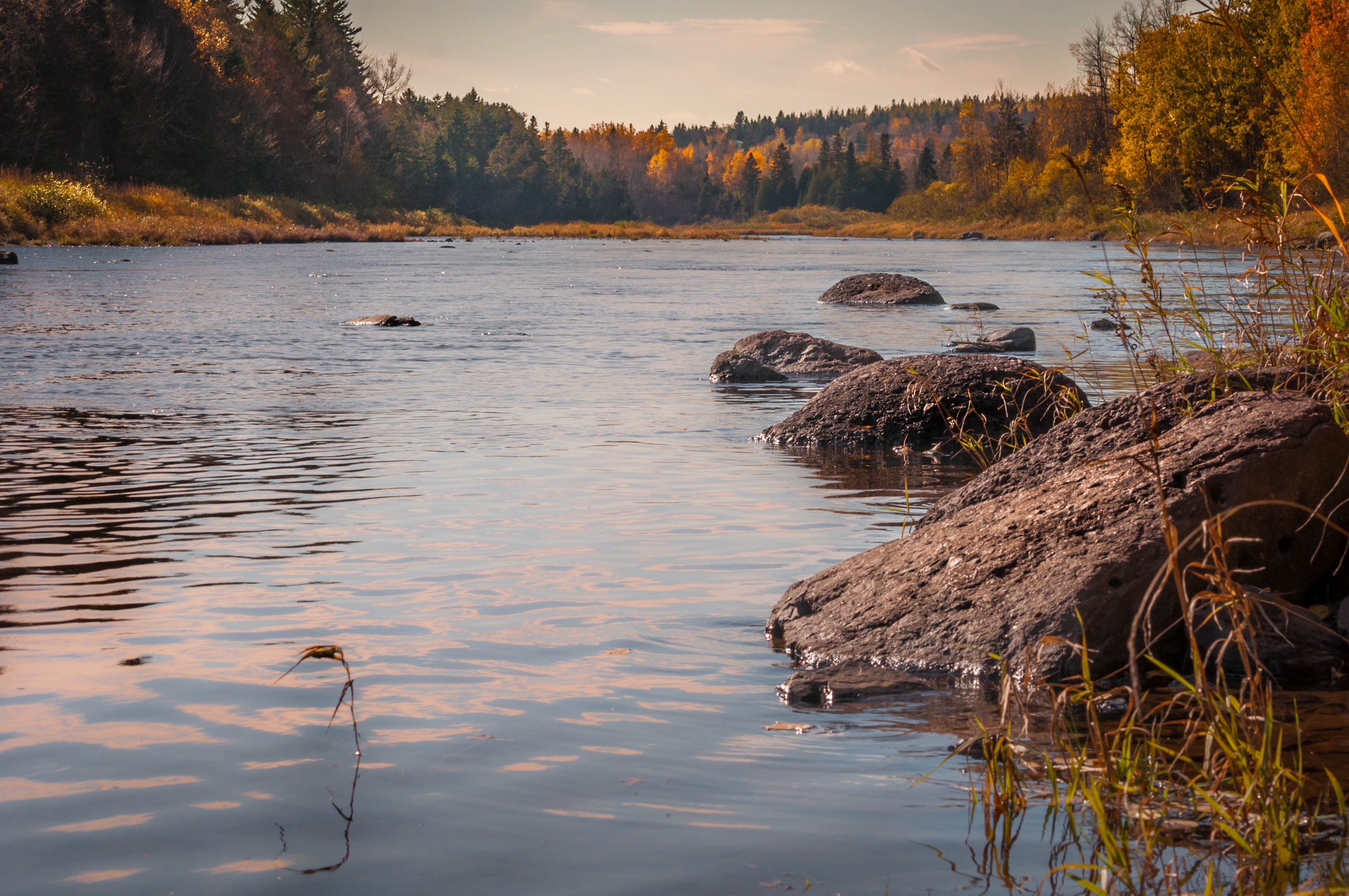
Kennebecasis River
FCC field trip - Hammond River

{C2136} Church yard in Autumn 10.19.08 003 (se,cfw)
FCC field trip - Hammond River

All alone

76/365 - The Parks Sisters

Storm comming
One more from Bar Harbor trip!
{C2128} Lower Norton Shore Rd. 10.19.08 031 (sc,se,cfw)
Goose Creek Beach. Spent our last night here on our Fundy Foothpath hike.
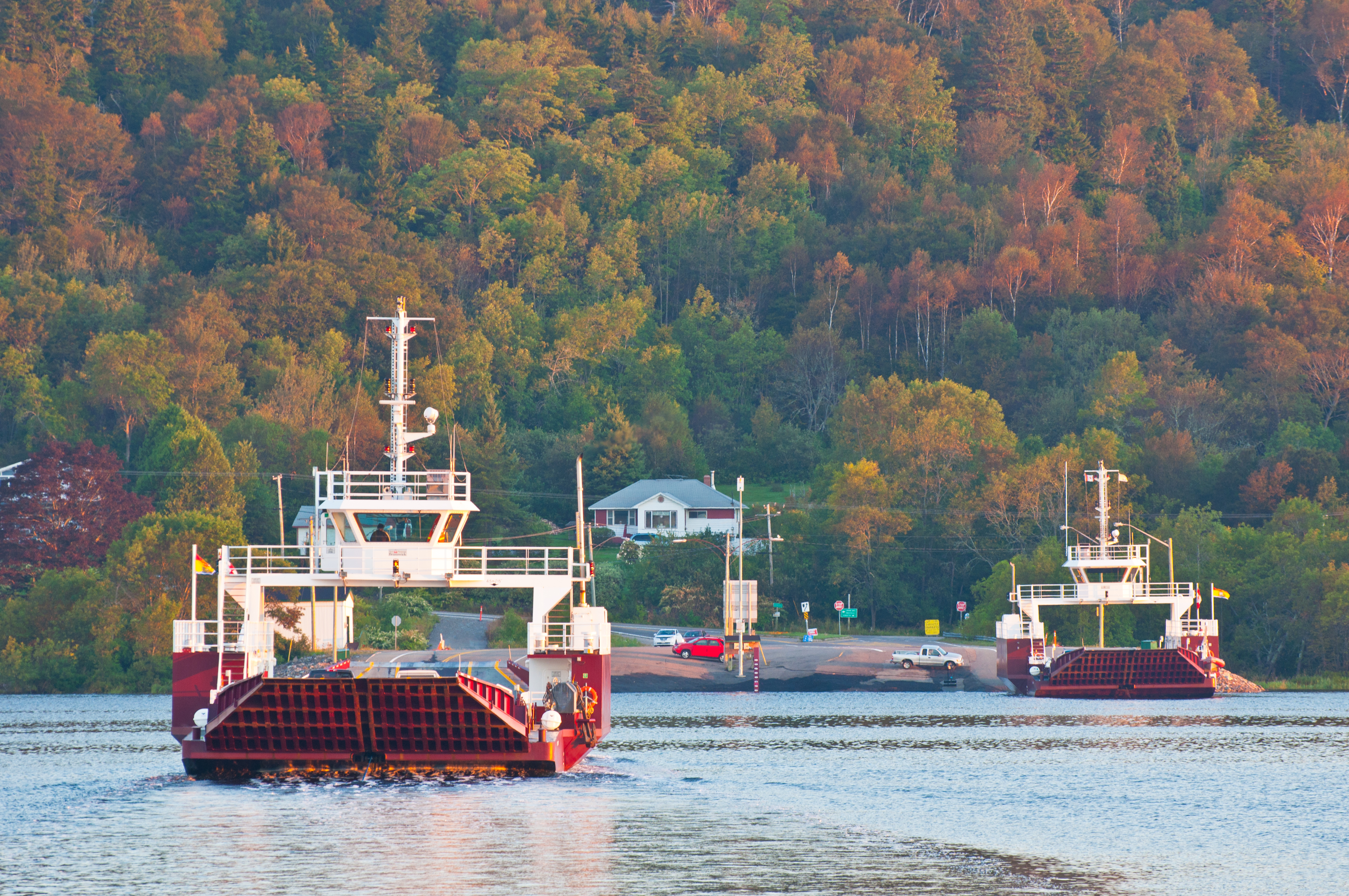
Gondola Point ferry
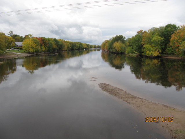
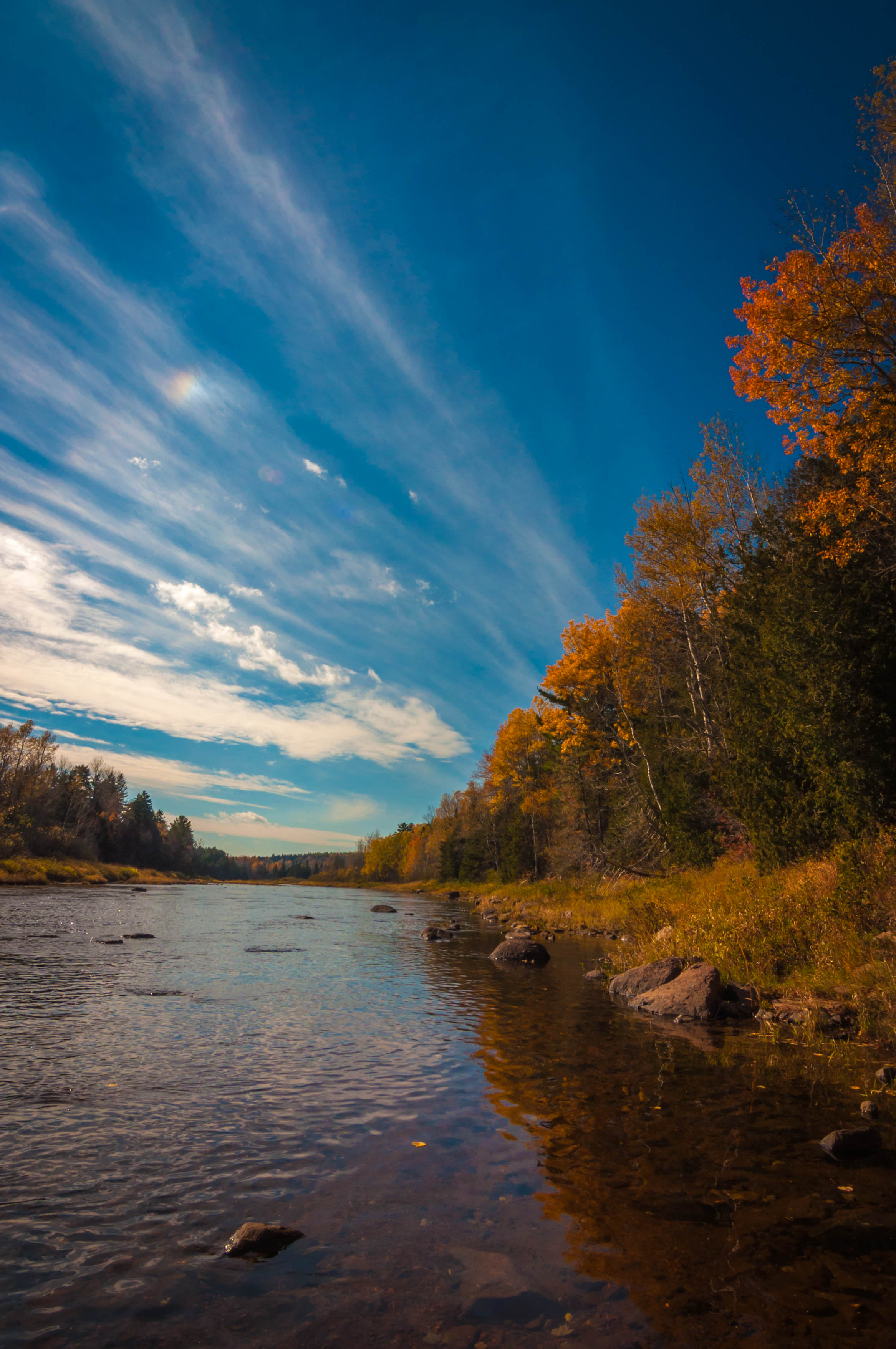
Kennebecasis River
Topographic Map of Hampton, NB, Canada
Find elevation by address:

Places in Hampton, NB, Canada:
Places near Hampton, NB, Canada:
1285 Main St
Pickwauket Rd, Hampton, NB E5N 6J3, Canada
Norton
Bloomfield
74 Ravine Rd
74 Ravine Rd
74 Ravine Rd
74 Ravine Rd
74 Ravine Rd
998 Nb-850
New Brunswick 850
NB-, Long Point, NB E5N 7W6, Canada
Long Point
73 Ravine Rd, Norton, NB E5T 2C5, Canada
4 Whiting Ln
Browns Cove Road
322 Dickie Mountain Rd
Midland
Springfield Trees
1826 Nb-124
Recent Searches:
- Elevation of Corso Fratelli Cairoli, 35, Macerata MC, Italy
- Elevation of Tallevast Rd, Sarasota, FL, USA
- Elevation of 4th St E, Sonoma, CA, USA
- Elevation of Black Hollow Rd, Pennsdale, PA, USA
- Elevation of Oakland Ave, Williamsport, PA, USA
- Elevation of Pedrógão Grande, Portugal
- Elevation of Klee Dr, Martinsburg, WV, USA
- Elevation of Via Roma, Pieranica CR, Italy
- Elevation of Tavkvetili Mountain, Georgia
- Elevation of Hartfords Bluff Cir, Mt Pleasant, SC, USA