Elevation of Hamlin Cir, Chester, VA, USA
Location: United States > Virginia > Chesterfield County > Bermuda > Chester >
Longitude: -77.447328
Latitude: 37.3740546
Elevation: 39m / 128feet
Barometric Pressure: 101KPa
Elevation Map:
Satellite Map:
Related Photos:

Remember When...

Nipped in the Bud

THE COOL LINES OF MARBLE, THE VIEW FROM CORPORAL FOLLAND'S GRAVE
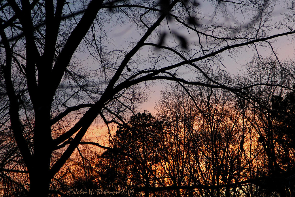
Sunset today from backyard

3rd Grade Classroom

Fall reflections
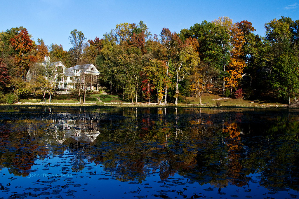
Fall Reflections

I've been tagged

Kiwi Perched on Mattress

Crossing That Bridge

Running cedar

More winter

Impressions of fall

Winter Cheer
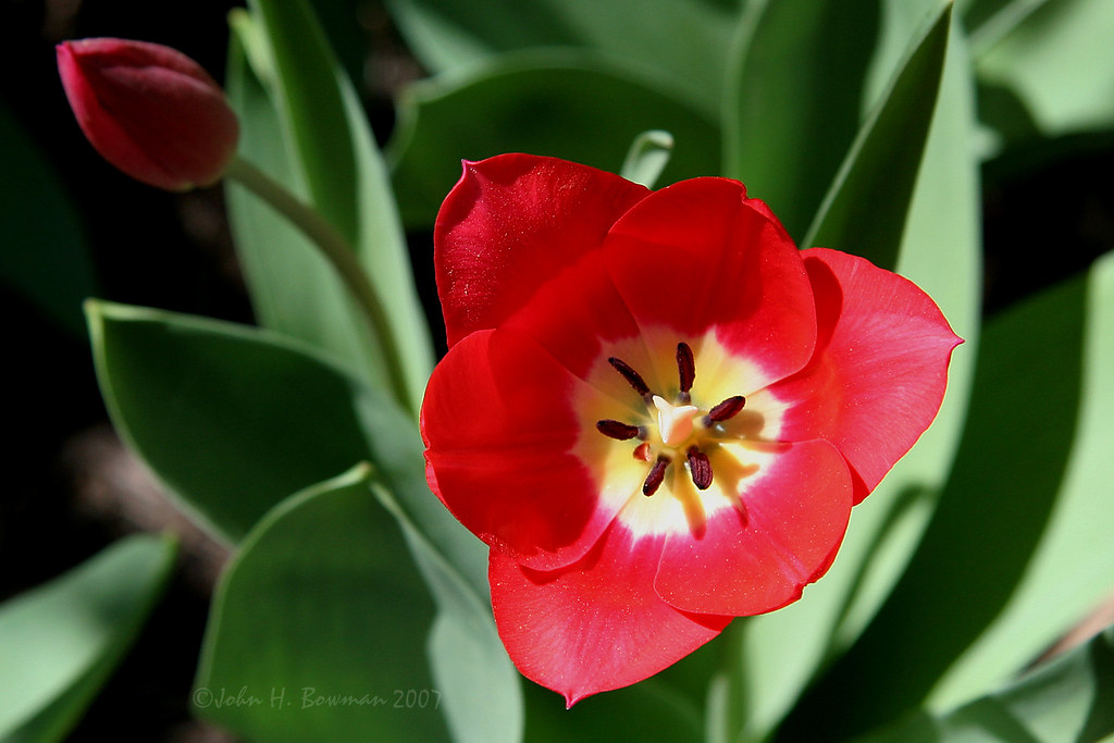
Red tulip

Autumn Glow

After the Storm

Triumph of spring?

Purple Iris

The standoff

McDonald's interior

Henricus Panorama
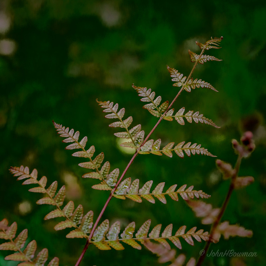
Subtle Beauty

A Momentary Burst of Light

Gone with the Wind

Infrared Pond

lone lake

Infrared Pond

Infrared Pond

Infrared Pond

Cormorant Takeoff

Lake Surrey

Winter reflections

Bee Balm

Afternoon walk

Nanticoke River Wetlands

Pocahontas Lake

6/28/2011 (295/365) - CRA

my street

DJI_0016school copy
Topographic Map of Hamlin Cir, Chester, VA, USA
Find elevation by address:

Places near Hamlin Cir, Chester, VA, USA:
11910 Chester Rd
Park Rd, Richmond, VA, USA
Chester
11567 Claimont Mill Dr
Verlinda Dr, Richmond, VA, USA
Colony Village Apartments
11645 Claimont Mill Dr
5200 Verlinda Dr
8731 Branchs Woods Ln
3266 Stone Manor Cir
Teterling Rd, Chester, VA, USA
Jefferson Davis Hwy, Richmond, VA, USA
Firethorne Ln, Richmond, VA, USA
Chick-fil-a
Crossgate Rd, Chester, VA, USA
Bermuda Crossroad Ln, Chester, VA, USA
Snowflake Dr, Richmond, VA, USA
Walmart Supercenter
Hooters
13506 Stoney Creek Ct
Recent Searches:
- Elevation of Corso Fratelli Cairoli, 35, Macerata MC, Italy
- Elevation of Tallevast Rd, Sarasota, FL, USA
- Elevation of 4th St E, Sonoma, CA, USA
- Elevation of Black Hollow Rd, Pennsdale, PA, USA
- Elevation of Oakland Ave, Williamsport, PA, USA
- Elevation of Pedrógão Grande, Portugal
- Elevation of Klee Dr, Martinsburg, WV, USA
- Elevation of Via Roma, Pieranica CR, Italy
- Elevation of Tavkvetili Mountain, Georgia
- Elevation of Hartfords Bluff Cir, Mt Pleasant, SC, USA