Elevation map of Hama Governorate, Syria
Location: Syria >
Longitude: 37.2115829
Latitude: 35.1887865
Elevation: 497m / 1631feet
Barometric Pressure: 95KPa
Elevation Map:
Satellite Map:
Related Photos:

beehive-house village, Suruj
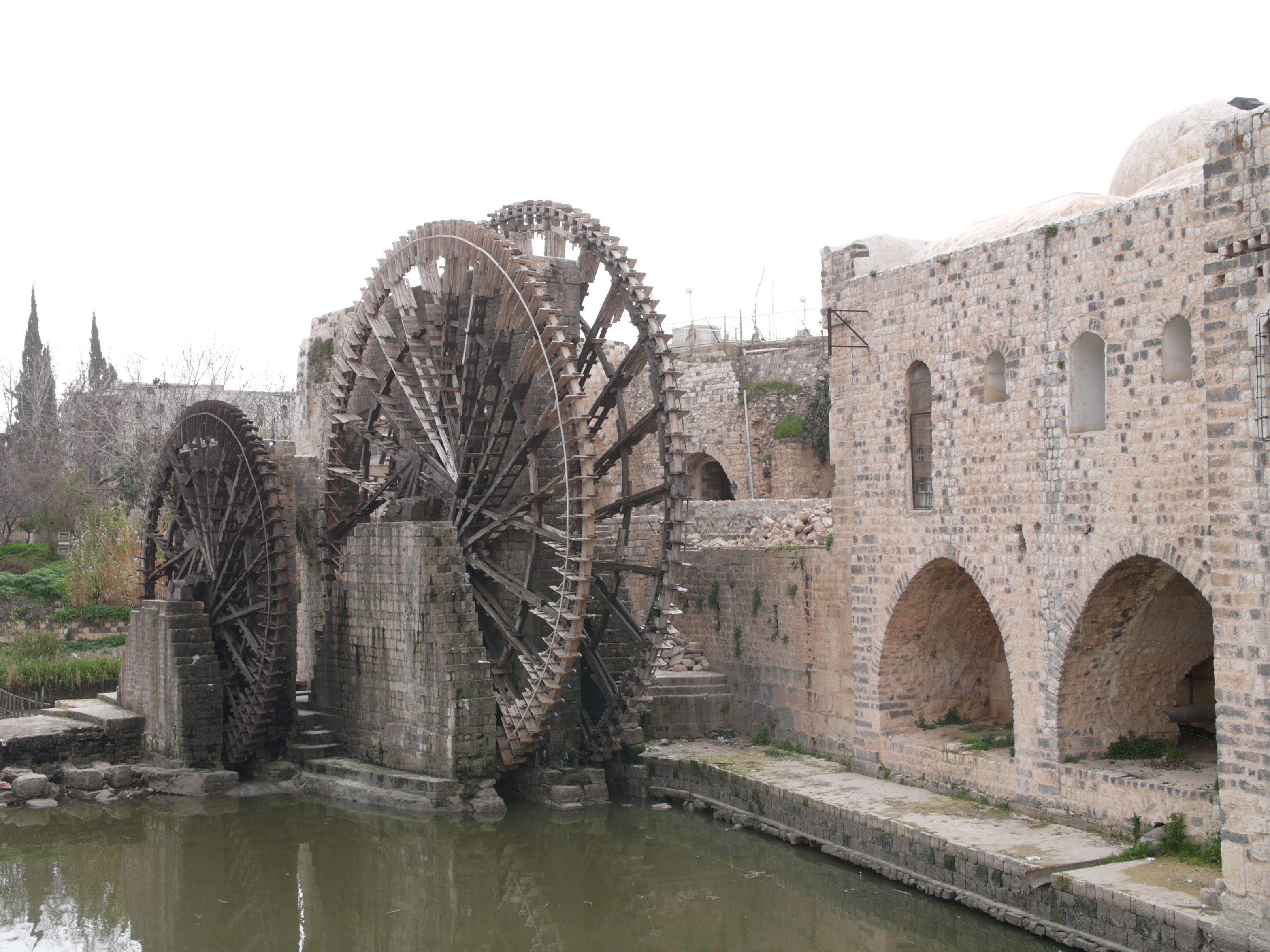
069 Syria - Hama - 00003
Topographic Map of Hama Governorate, Syria
Find elevation by address:

Places in Hama Governorate, Syria:
Places near Hama Governorate, Syria:
Hama
Idlib District
Idlib Governorate
Mount Simeon
Idlib
Aleppo
Aleppo Governorate
Dayr Hafir
Harem
Kah
Afrin
Recent Searches:
- Elevation of Corso Fratelli Cairoli, 35, Macerata MC, Italy
- Elevation of Tallevast Rd, Sarasota, FL, USA
- Elevation of 4th St E, Sonoma, CA, USA
- Elevation of Black Hollow Rd, Pennsdale, PA, USA
- Elevation of Oakland Ave, Williamsport, PA, USA
- Elevation of Pedrógão Grande, Portugal
- Elevation of Klee Dr, Martinsburg, WV, USA
- Elevation of Via Roma, Pieranica CR, Italy
- Elevation of Tavkvetili Mountain, Georgia
- Elevation of Hartfords Bluff Cir, Mt Pleasant, SC, USA