Elevation of Hallstrom Road, Hallstrom Rd, Northfield, VT, USA
Location: United States > Vermont > Washington County > Northfield >
Longitude: -72.728855
Latitude: 44.1639352
Elevation: 434m / 1424feet
Barometric Pressure: 96KPa
Elevation Map:
Satellite Map:
Related Photos:
Slaughter House Covered Bridge
Warren Falls Upper wider view
SW Panorama
Eastern Panorama

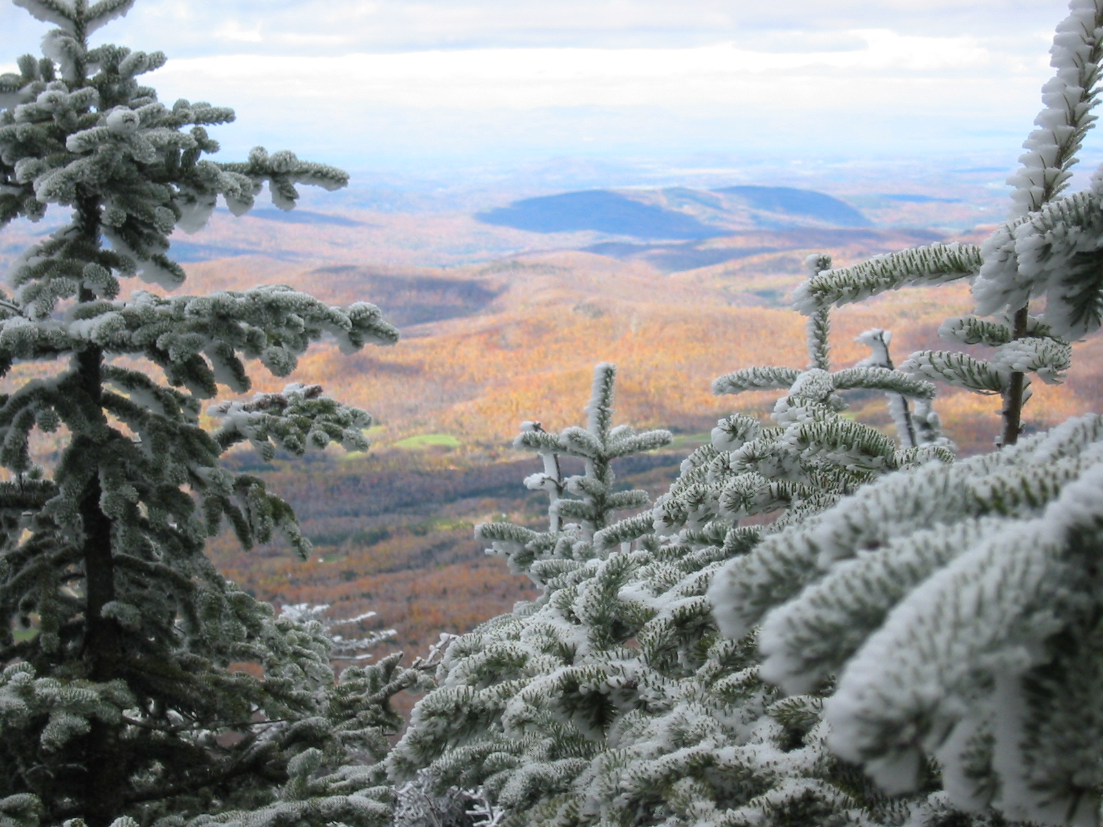
Monrning view with clouds
Champlain Valley
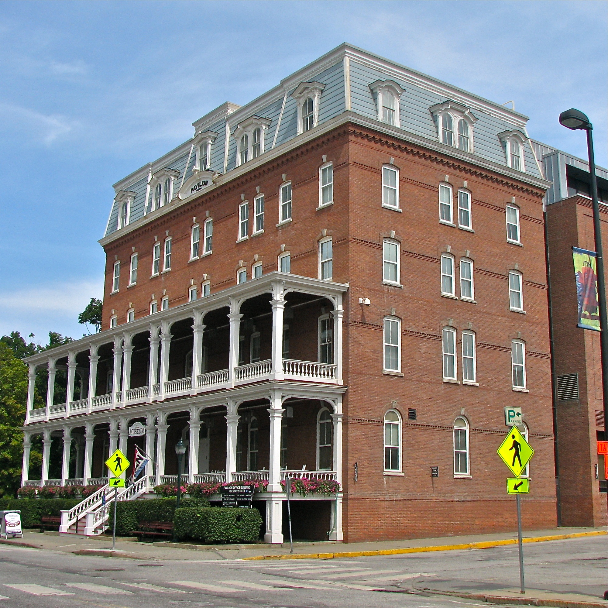
Pavilion Office Building
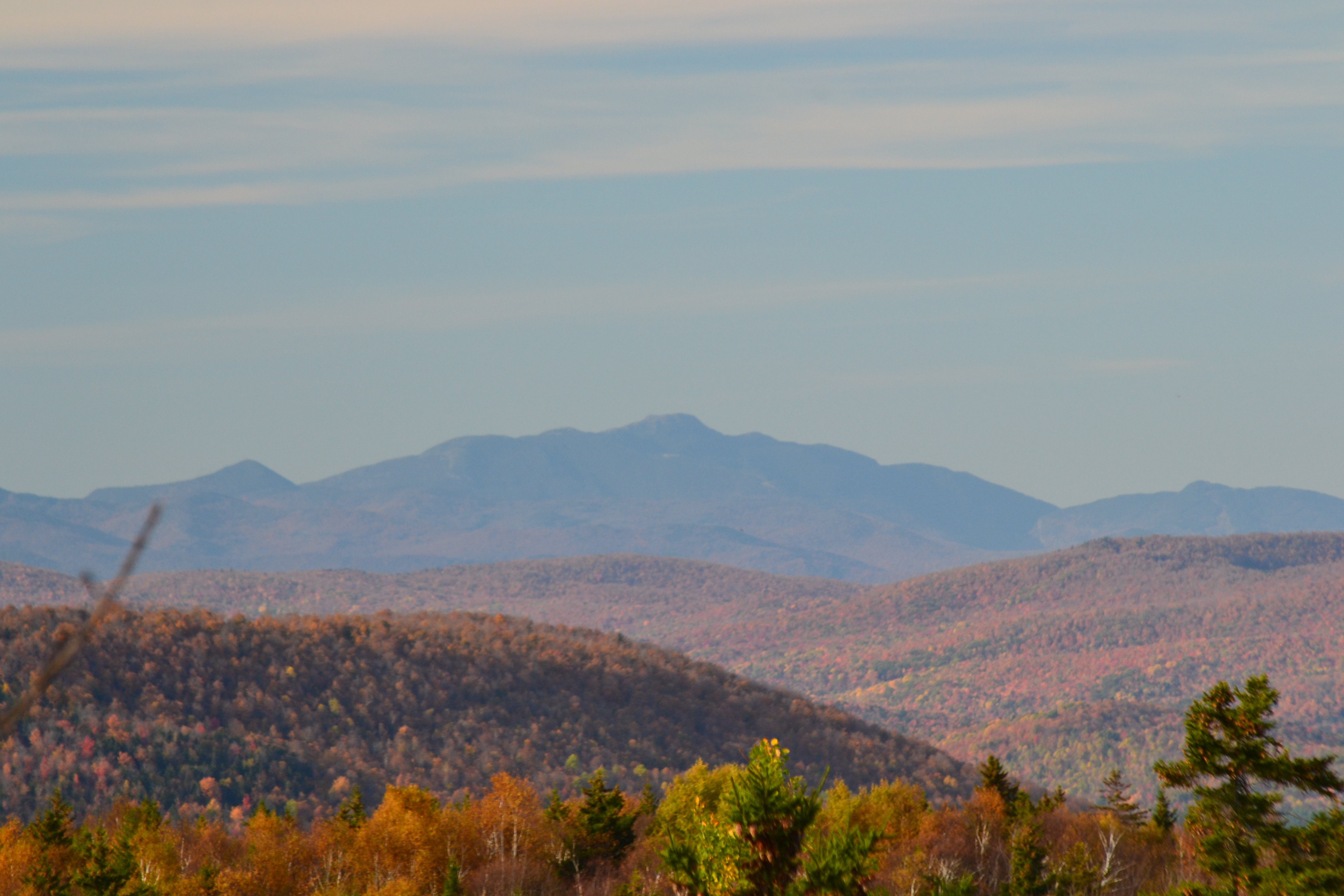
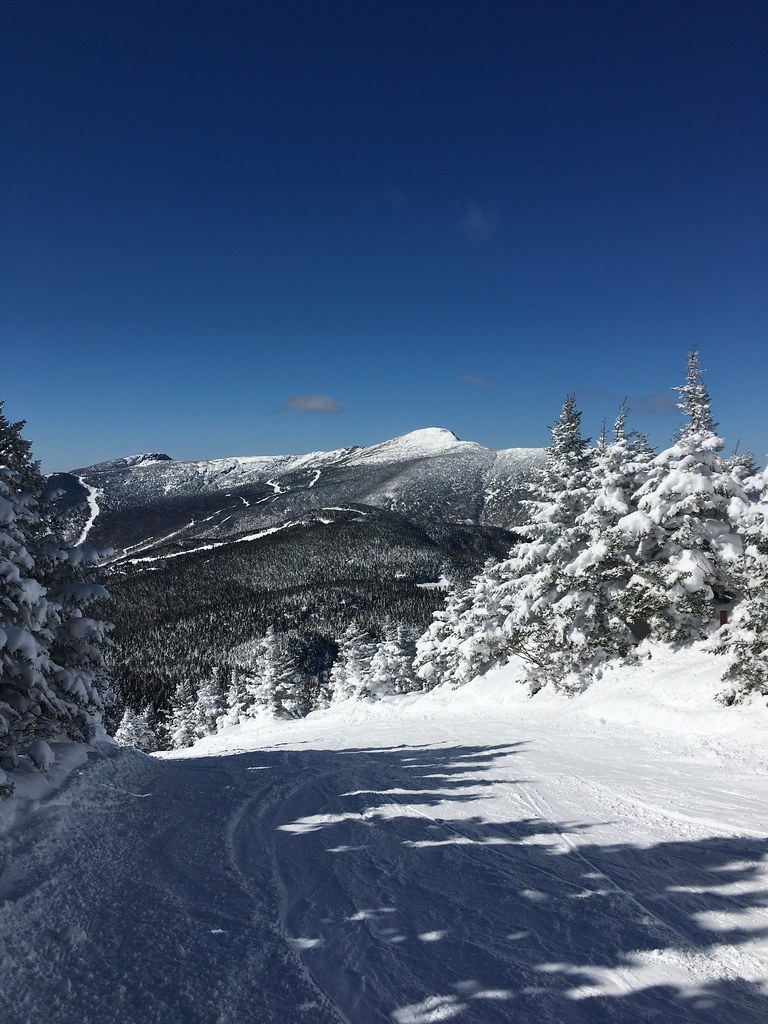
Mt Mansfield
Montpelier, VT, State House view (2)
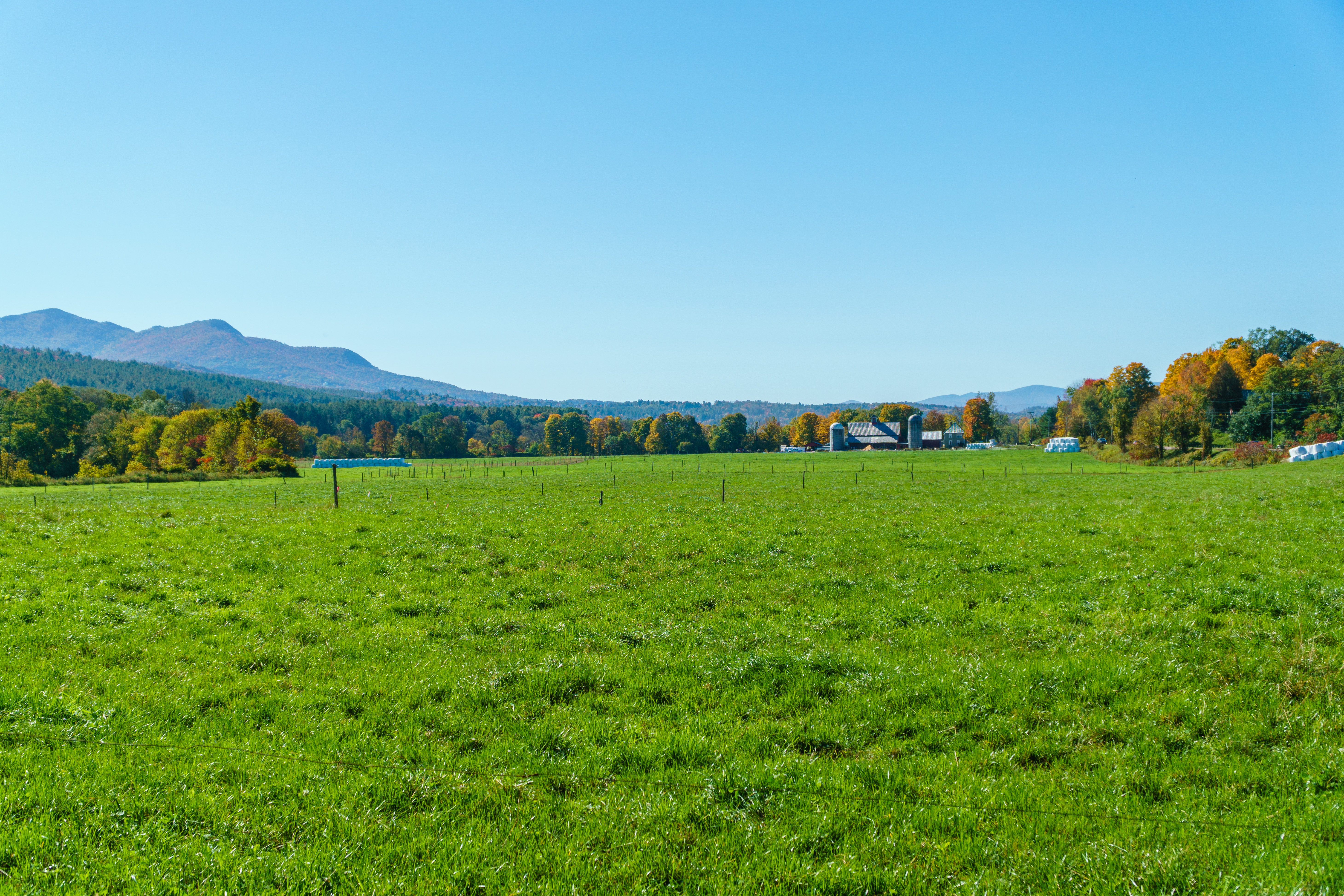
Dairy Farm
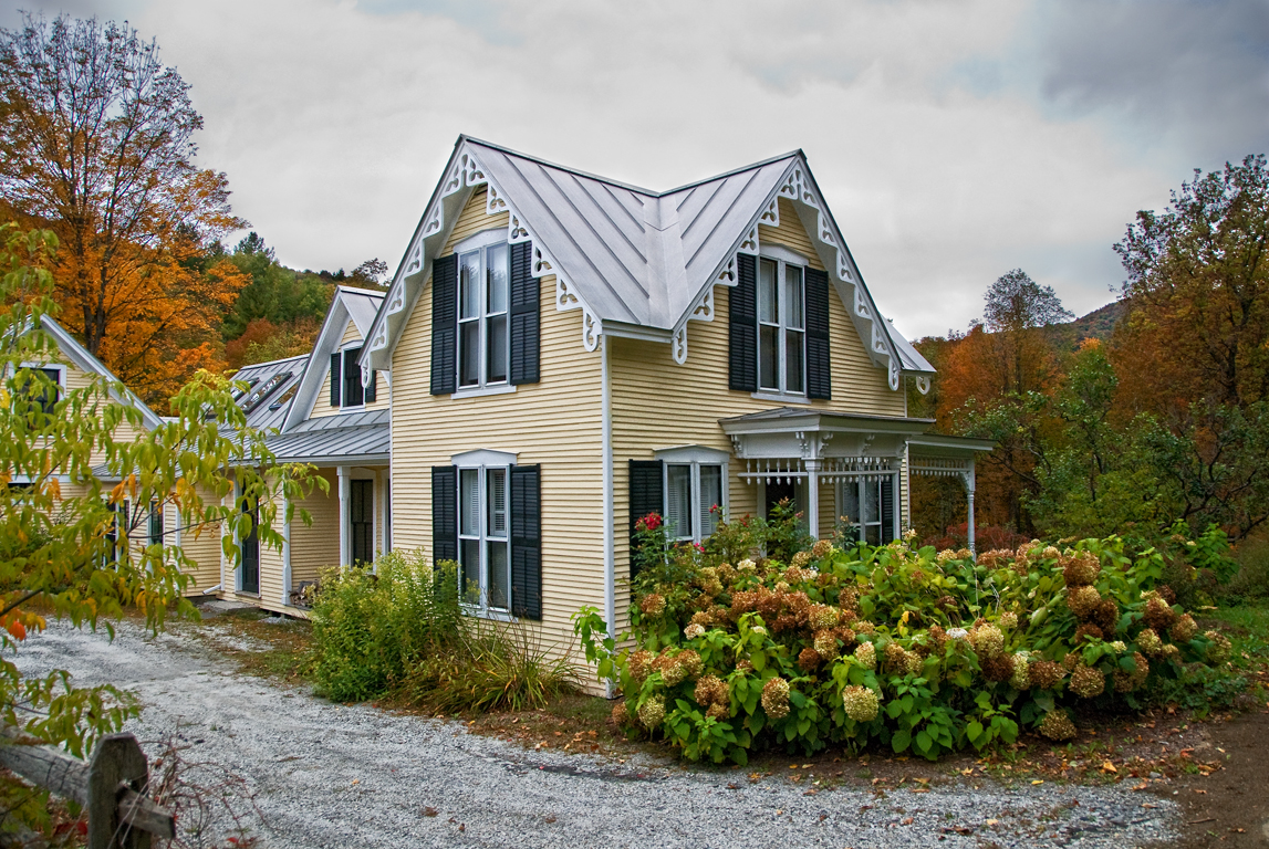
I wish I lived here no. 14 part 2 (same house, different season)
capitol • outlook
View from the carpark of the Church of the Crucified One, Moretown, VT
columned • view
Spruce Mountain

Morning sun rise view
Mt Ascutney
columns • flower.boxes
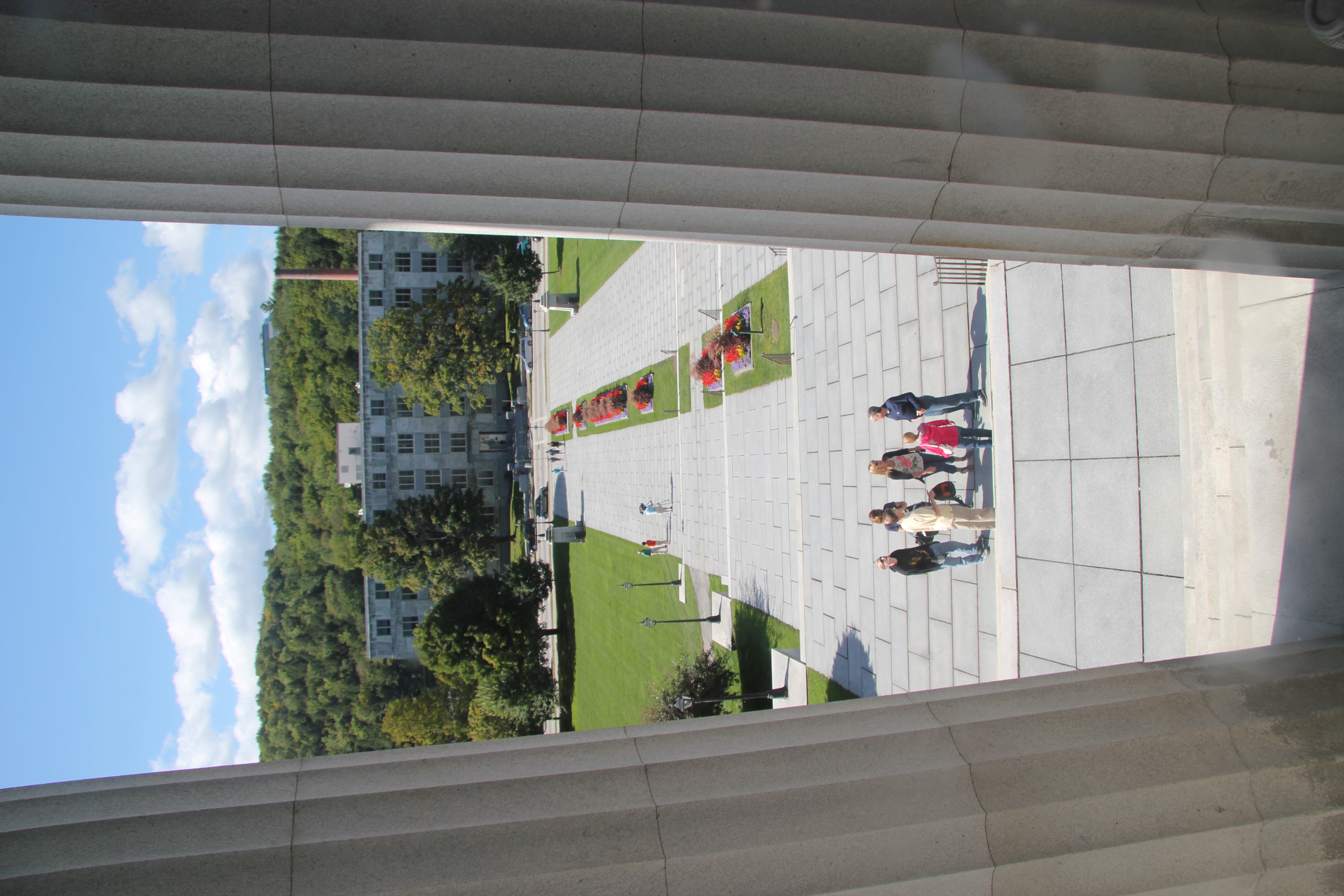
View from the State Capitol

The view....
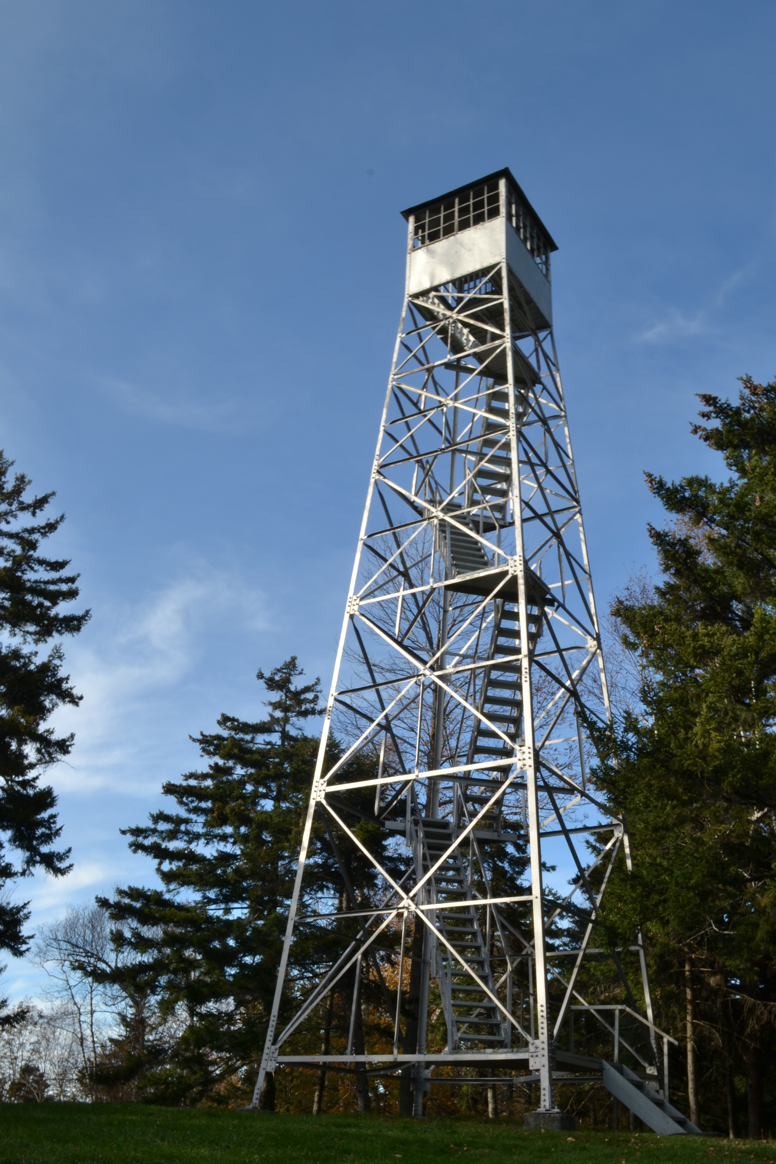
Allis SP Tower
Falls Bridge 3
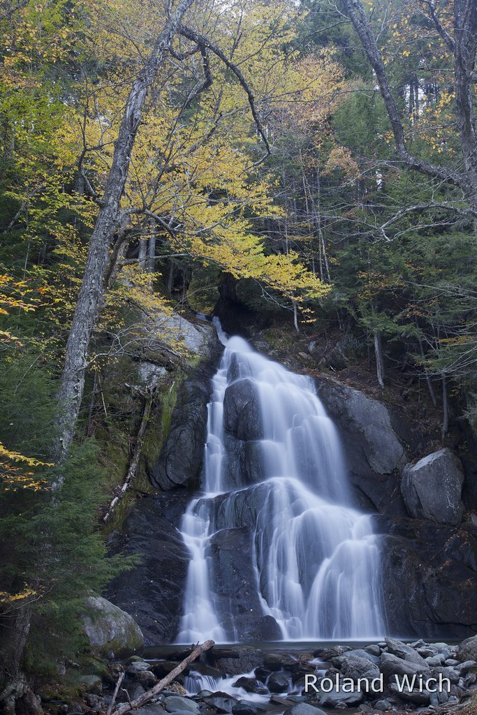
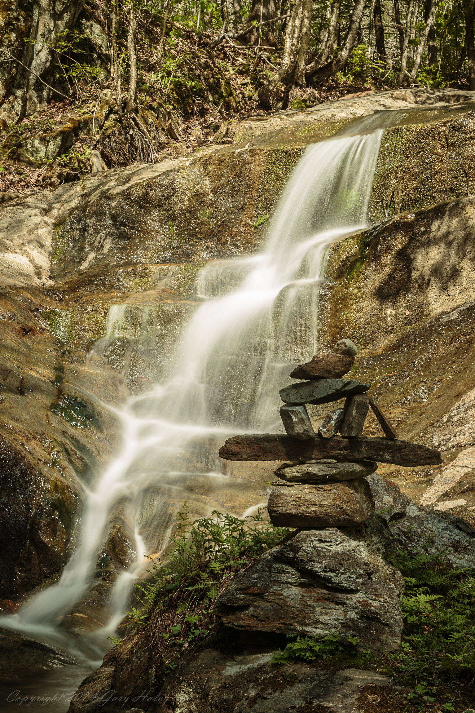
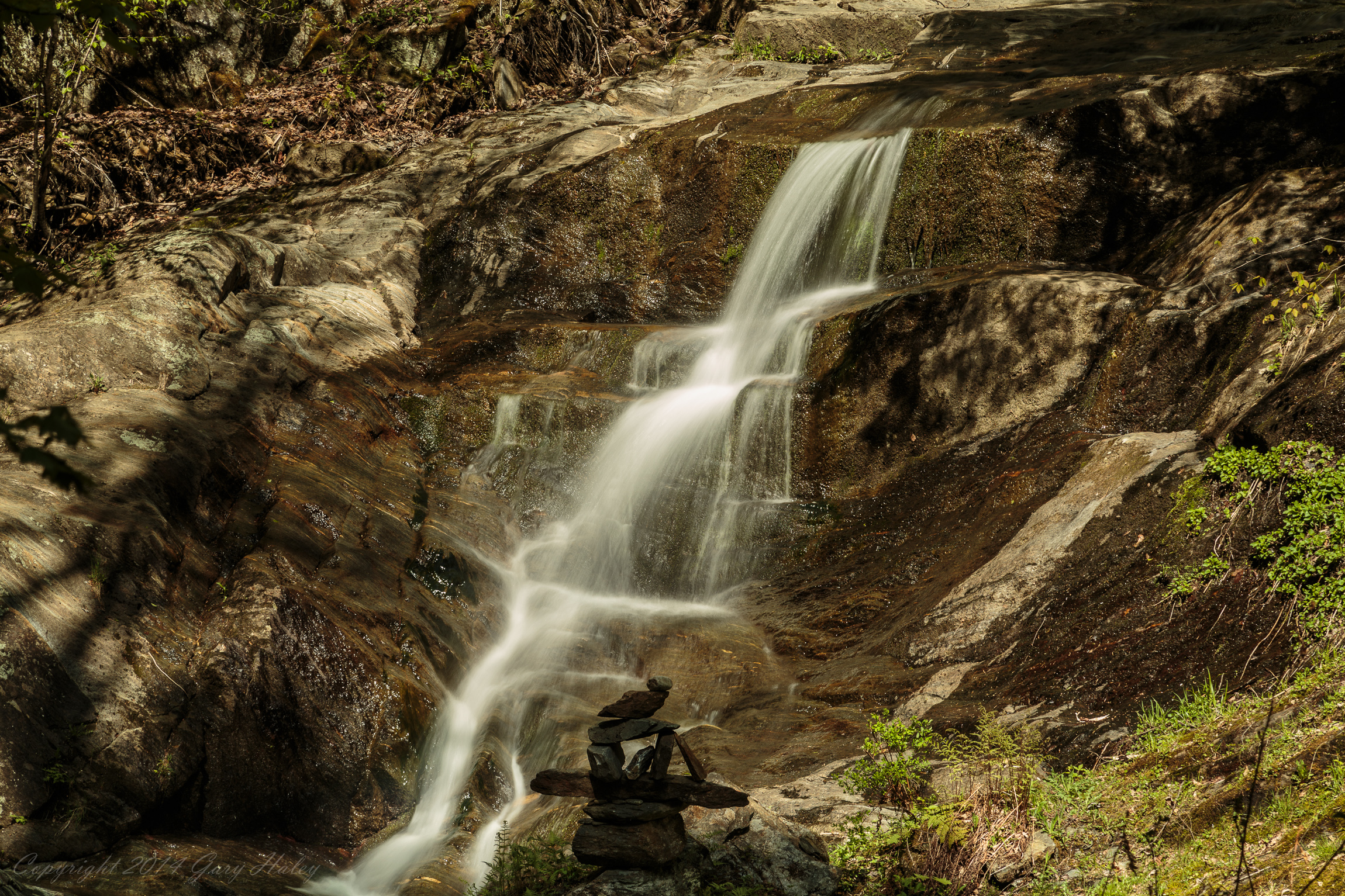
Moss Glen Falls
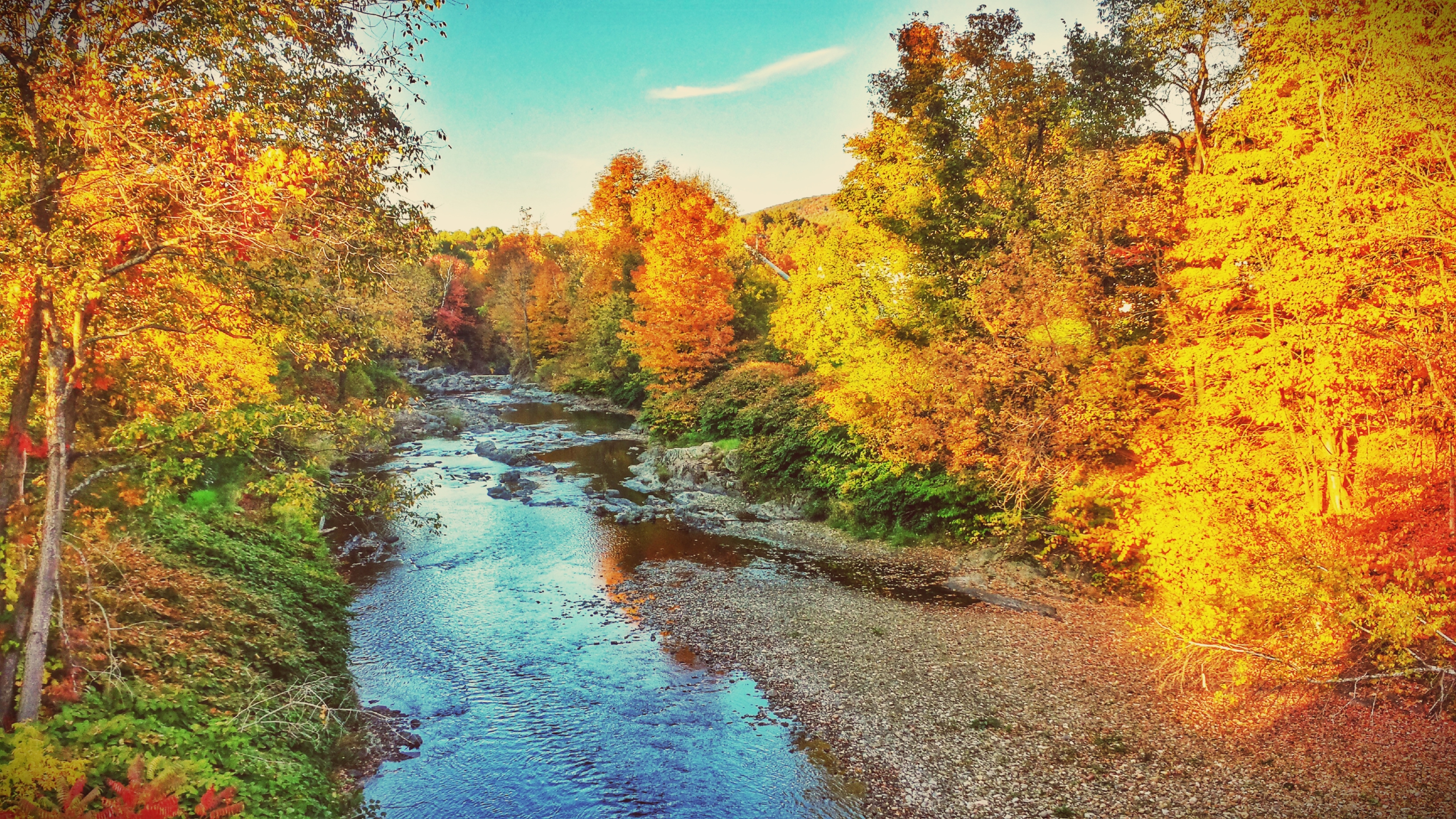
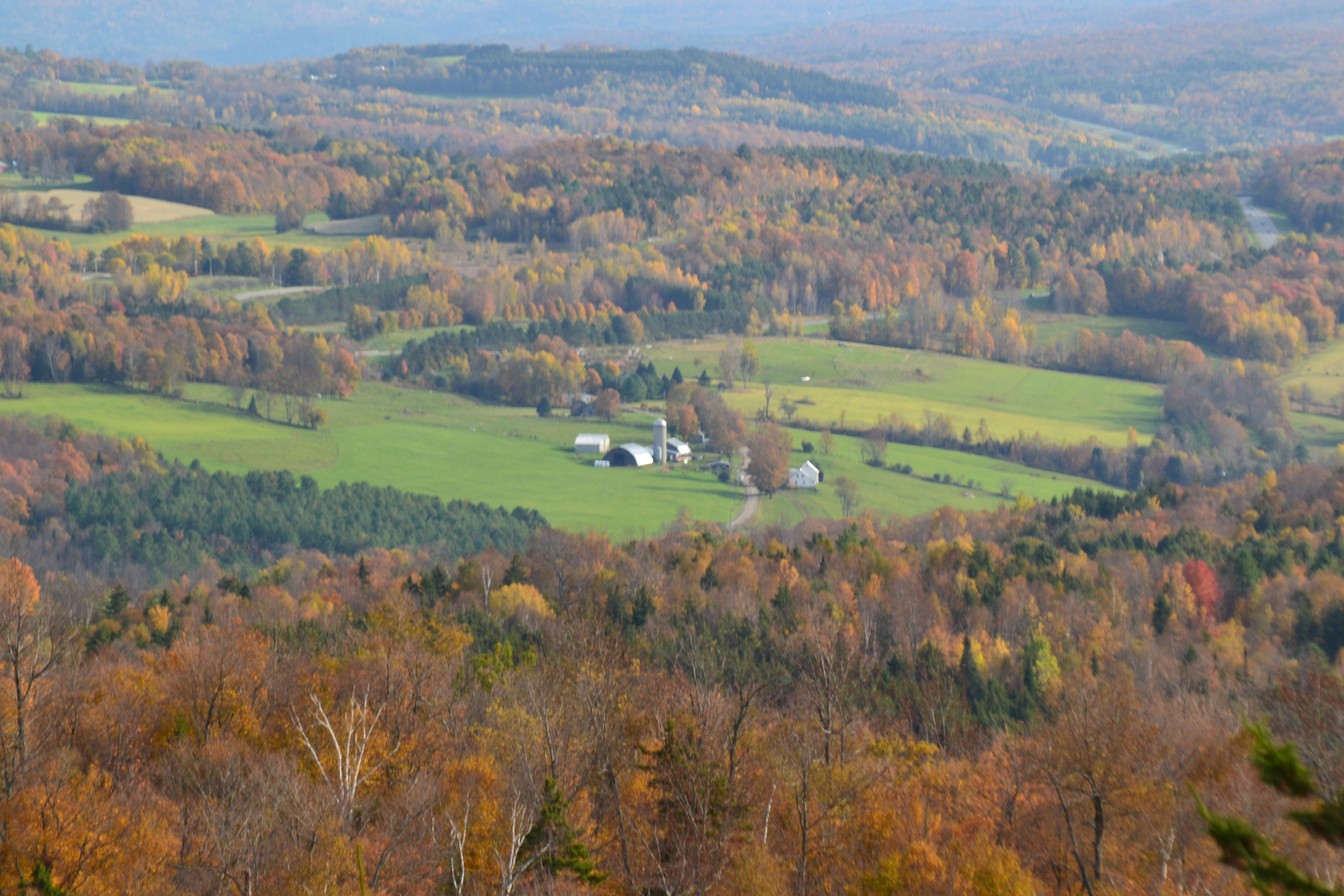
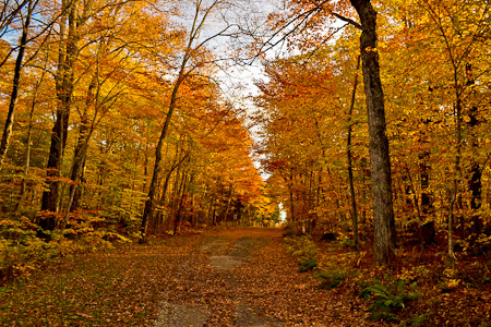
Fall colors in Vermont
The Mad River
Mt. Mansfield, from Madonna at Smuggs
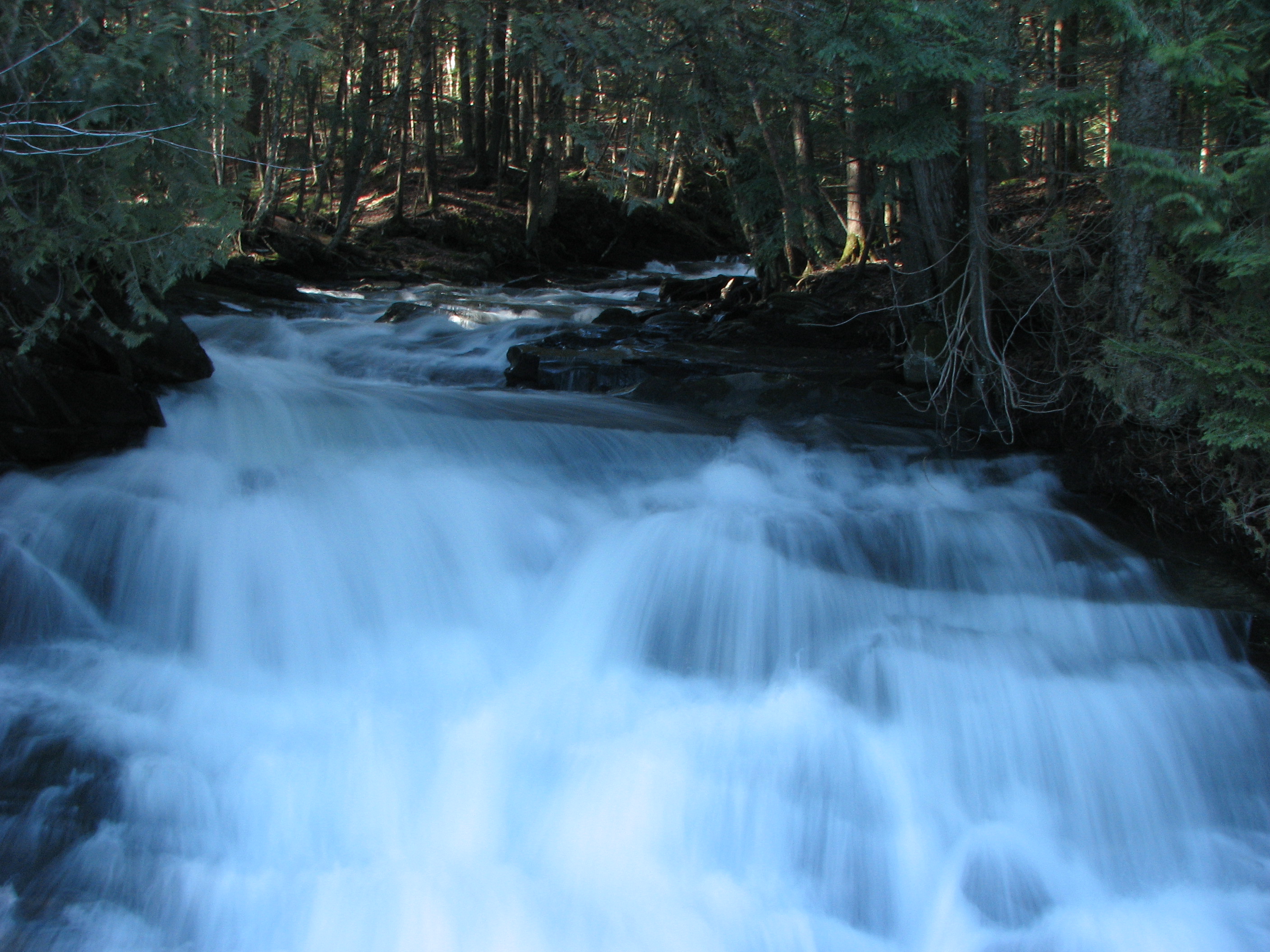
VT_Waterfalls-1344

Mad River - Vermont
Road to the Fire Tower
VT_Waterfalls-1320
VT_Waterfalls-1335
Falls Bridge 1
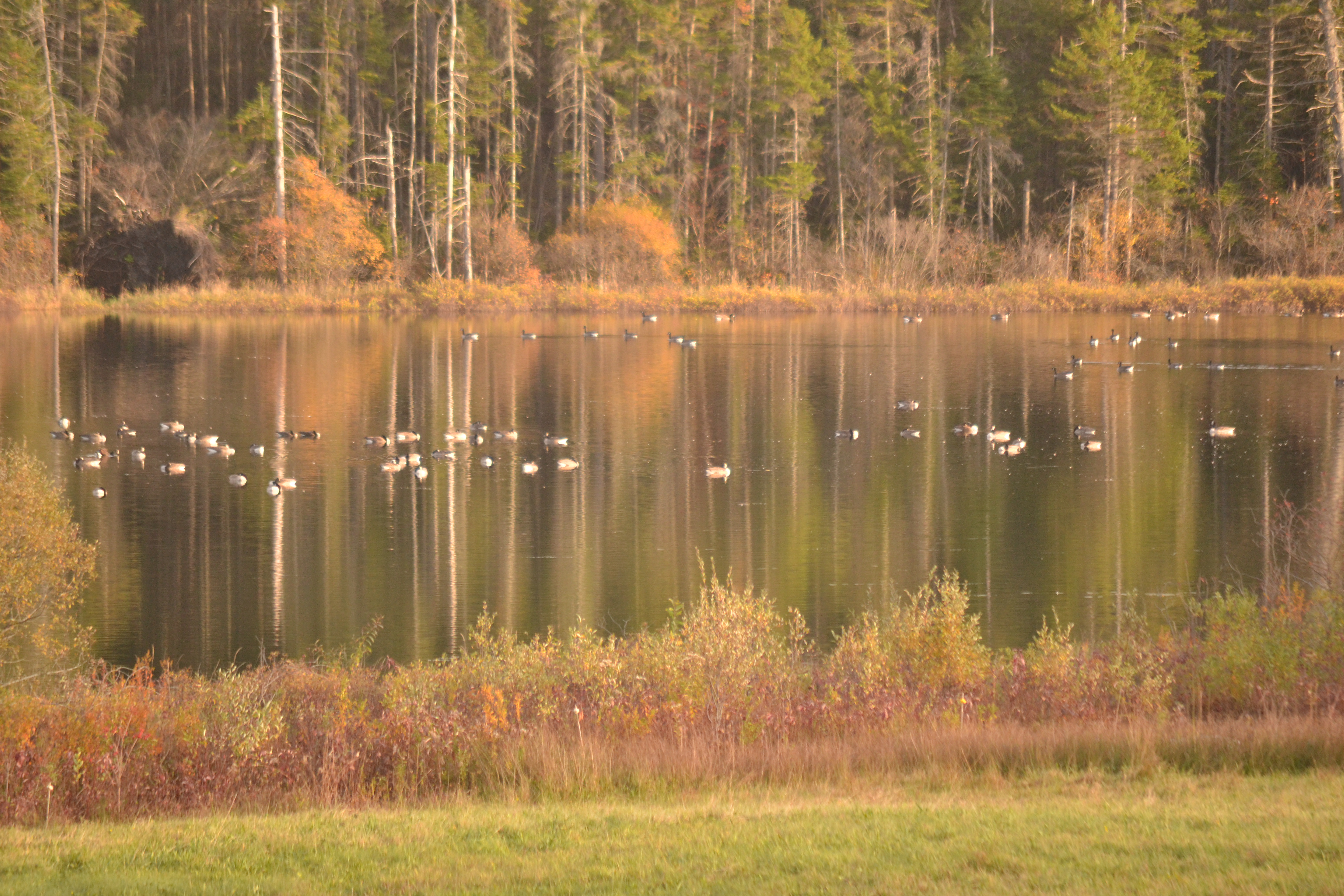
Canadian Geese

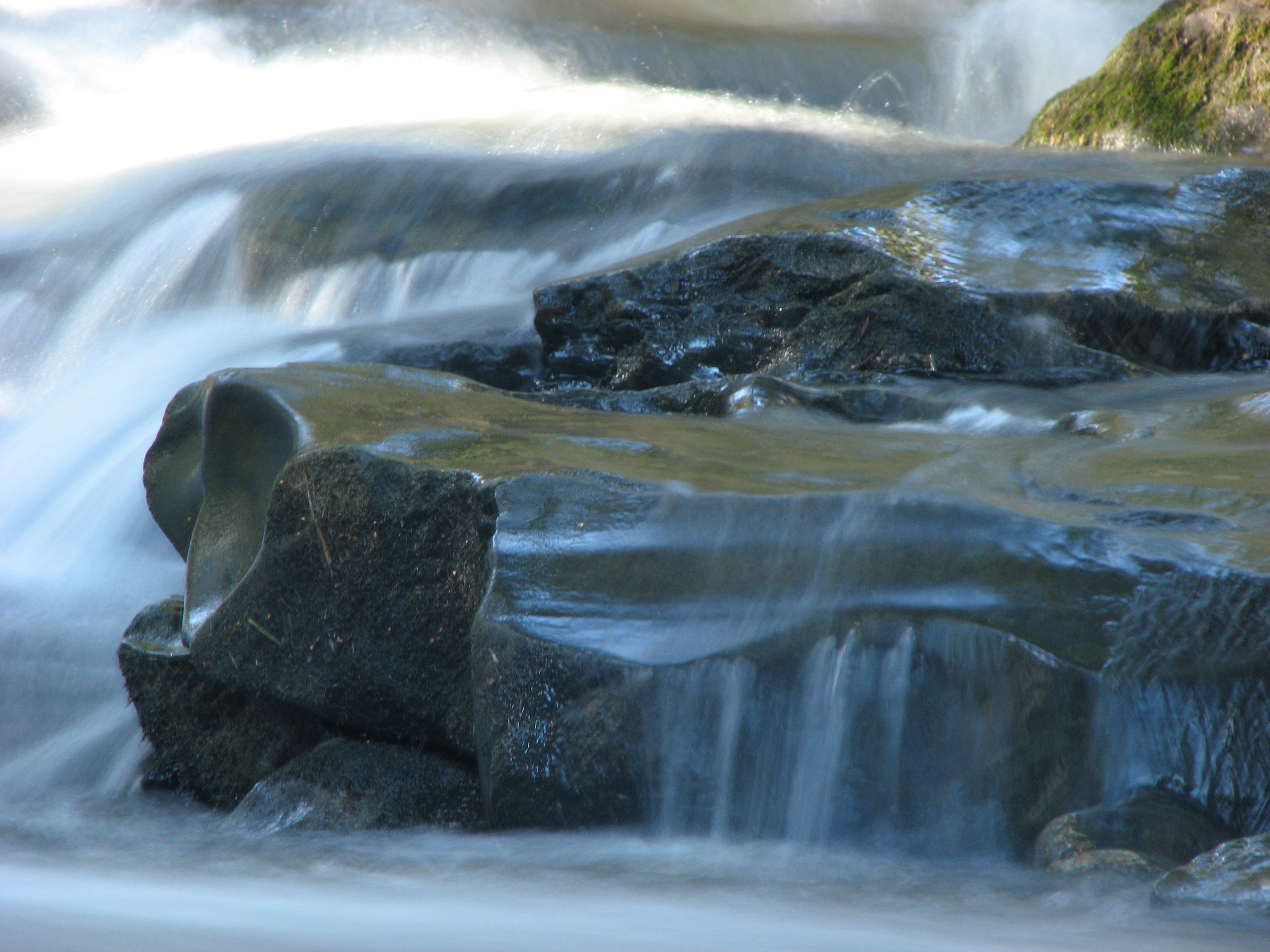
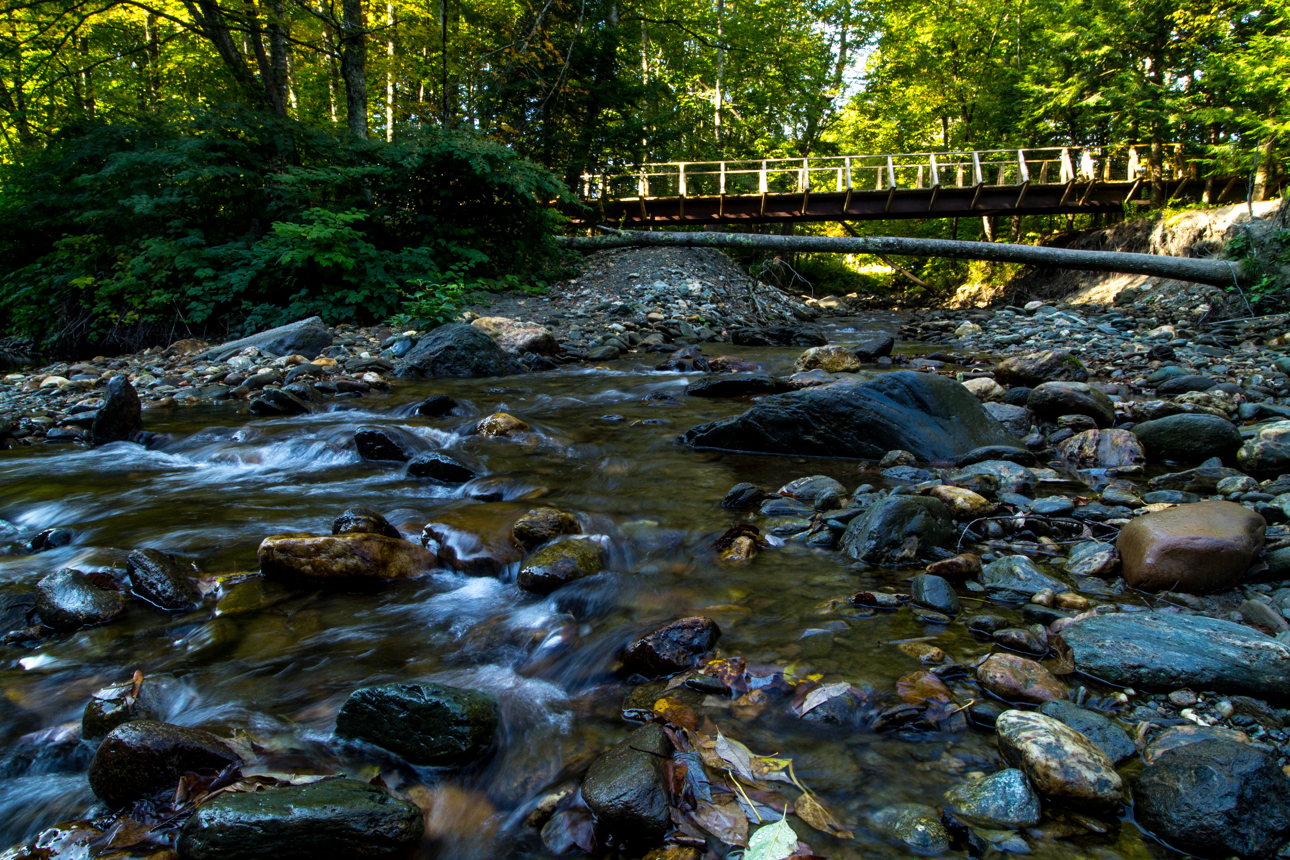
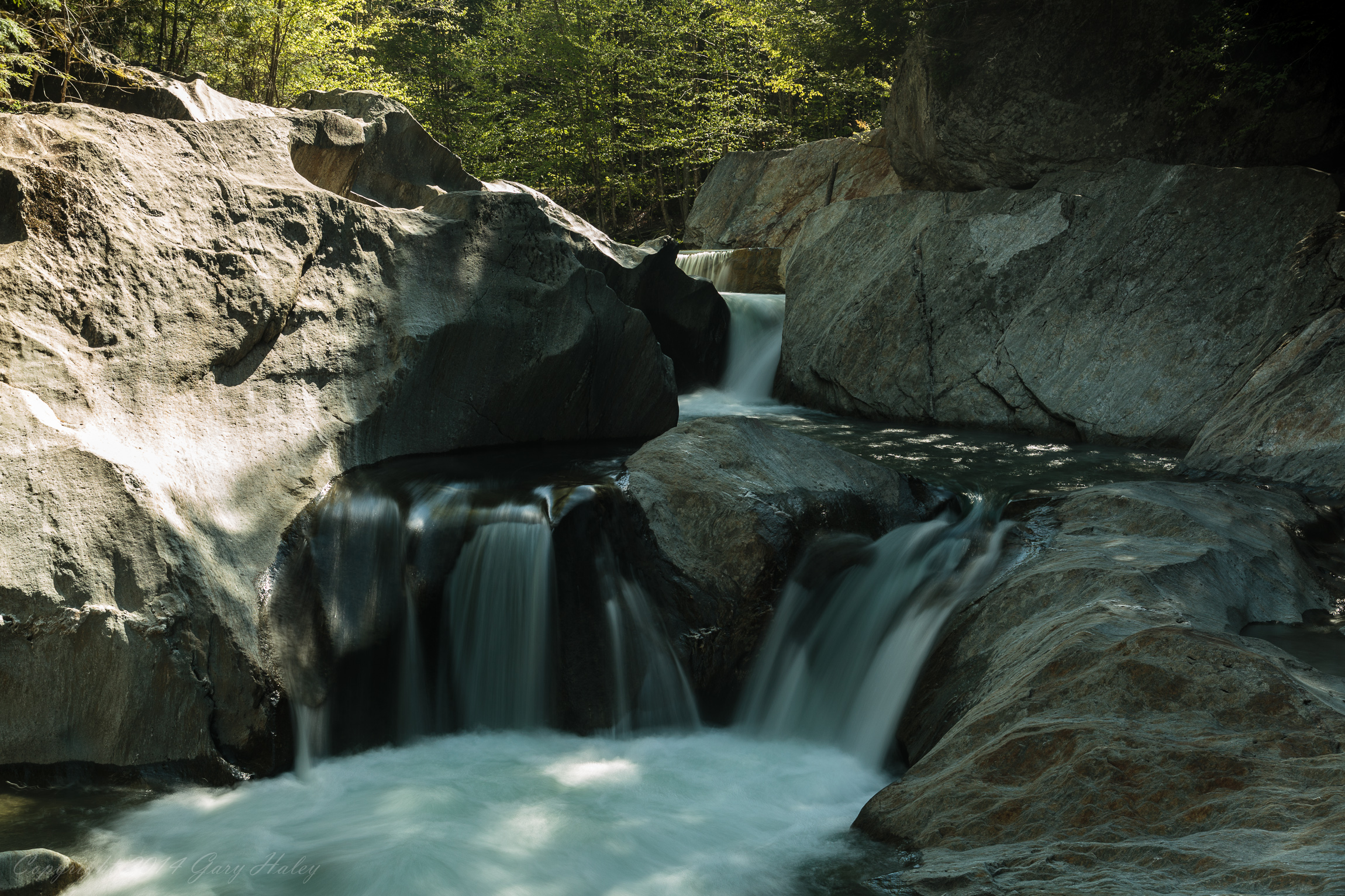
Cox Brook - Northfield Falls, Vermont

Vermont State Capitol Building

2017-12-27 11.18.44-1

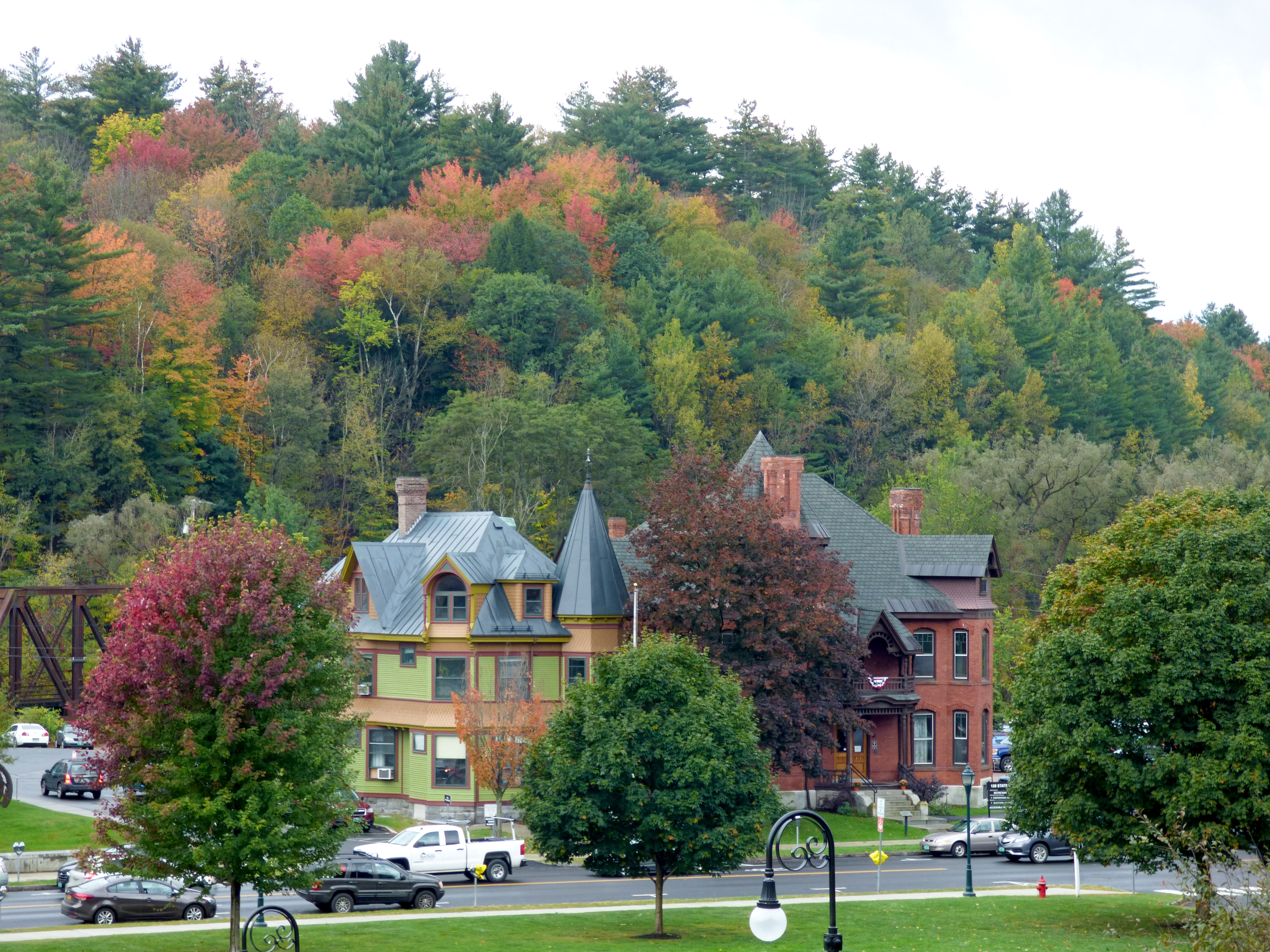
Montpelier Junction, Vermont

IMGP7337 2011 june b
Topographic Map of Hallstrom Road, Hallstrom Rd, Northfield, VT, USA
Find elevation by address:

Places near Hallstrom Road, Hallstrom Rd, Northfield, VT, USA:
2465 Hallstrom Rd
2549 Hallstrom Rd
Union Brook Road
Little Northfield Road
Washington County
2100 S Hill Rd
2182 S Hill Rd
63 Pine Ridge Dr
Northfield
Northfield
158 Harmon Dr
158 Harmon Dr
158 Harmon Dr
115 Carrigan Rd
46 Catamount Dr
420 Deans Mountain
420 Deans Mountain
420 Dean's Mountain Rd
Moretown
72 Forest Rd
Recent Searches:
- Elevation of Corso Fratelli Cairoli, 35, Macerata MC, Italy
- Elevation of Tallevast Rd, Sarasota, FL, USA
- Elevation of 4th St E, Sonoma, CA, USA
- Elevation of Black Hollow Rd, Pennsdale, PA, USA
- Elevation of Oakland Ave, Williamsport, PA, USA
- Elevation of Pedrógão Grande, Portugal
- Elevation of Klee Dr, Martinsburg, WV, USA
- Elevation of Via Roma, Pieranica CR, Italy
- Elevation of Tavkvetili Mountain, Georgia
- Elevation of Hartfords Bluff Cir, Mt Pleasant, SC, USA