Elevation of Hall County, TX, USA
Location: United States > Texas >
Longitude: -100.70978
Latitude: 34.4793521
Elevation: 684m / 2244feet
Barometric Pressure: 93KPa
Elevation Map:
Satellite Map:
Related Photos:
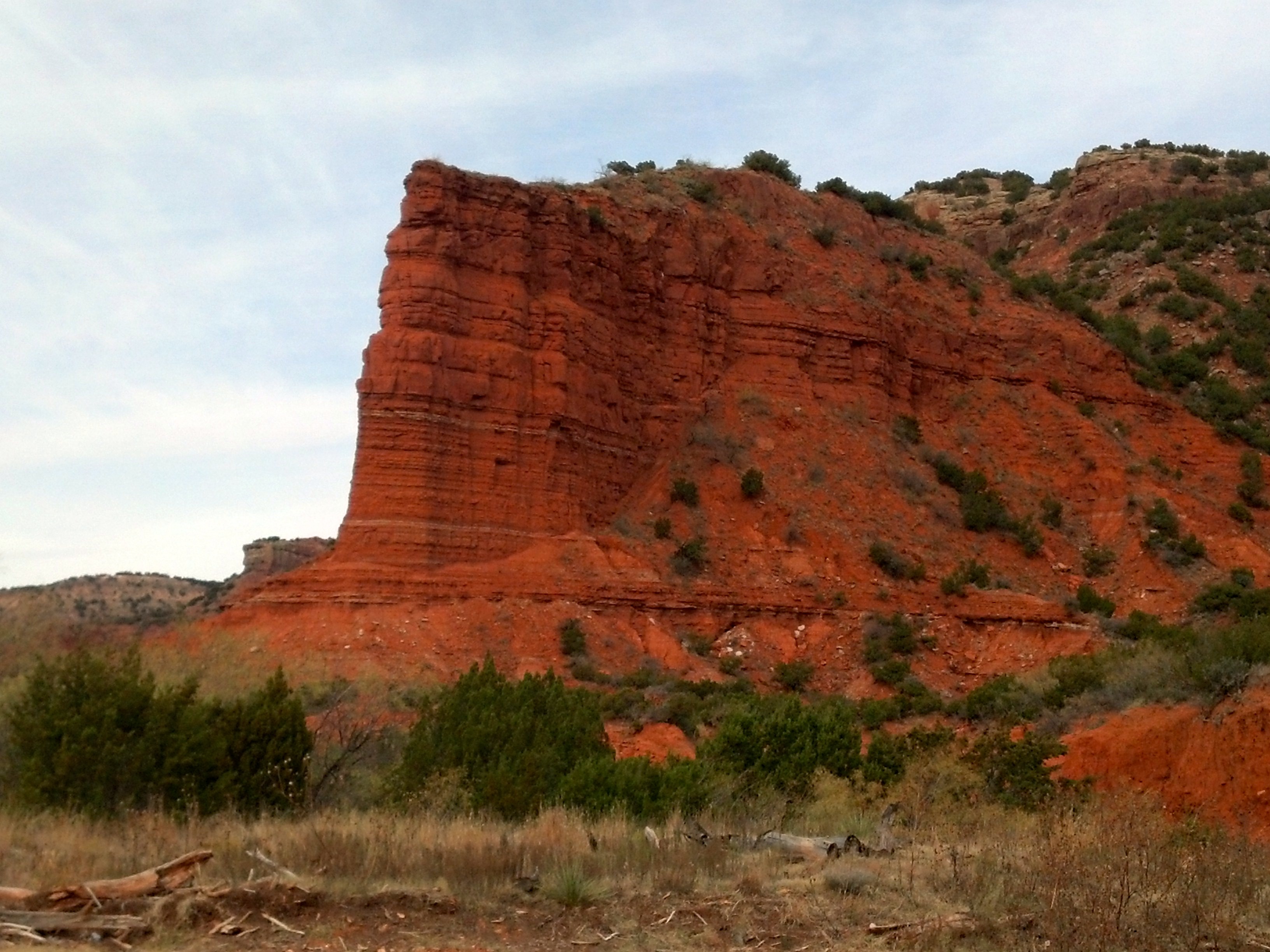
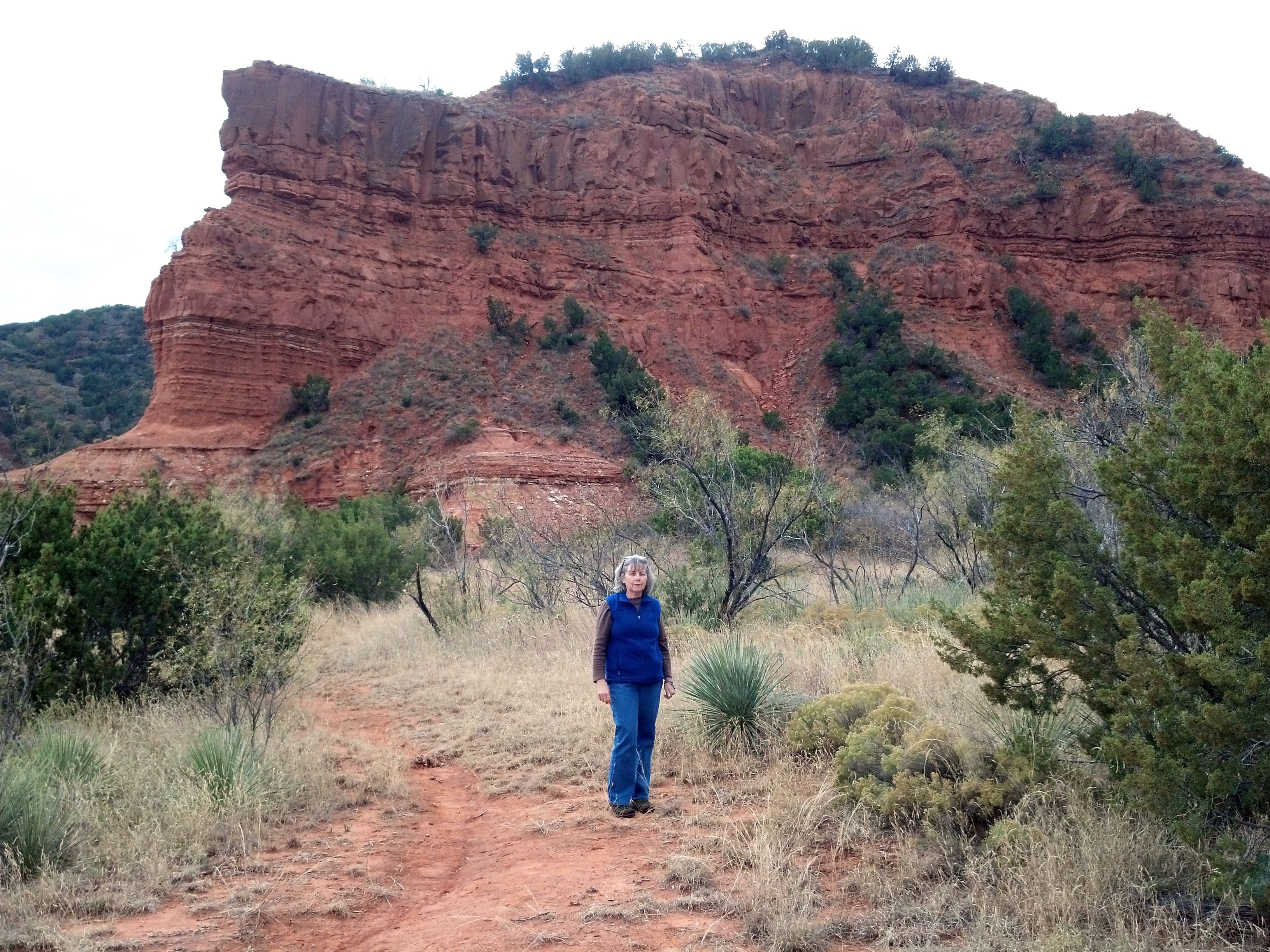
Caprock Canyons
Caprock Canyons
2013-12-01 11.10.50
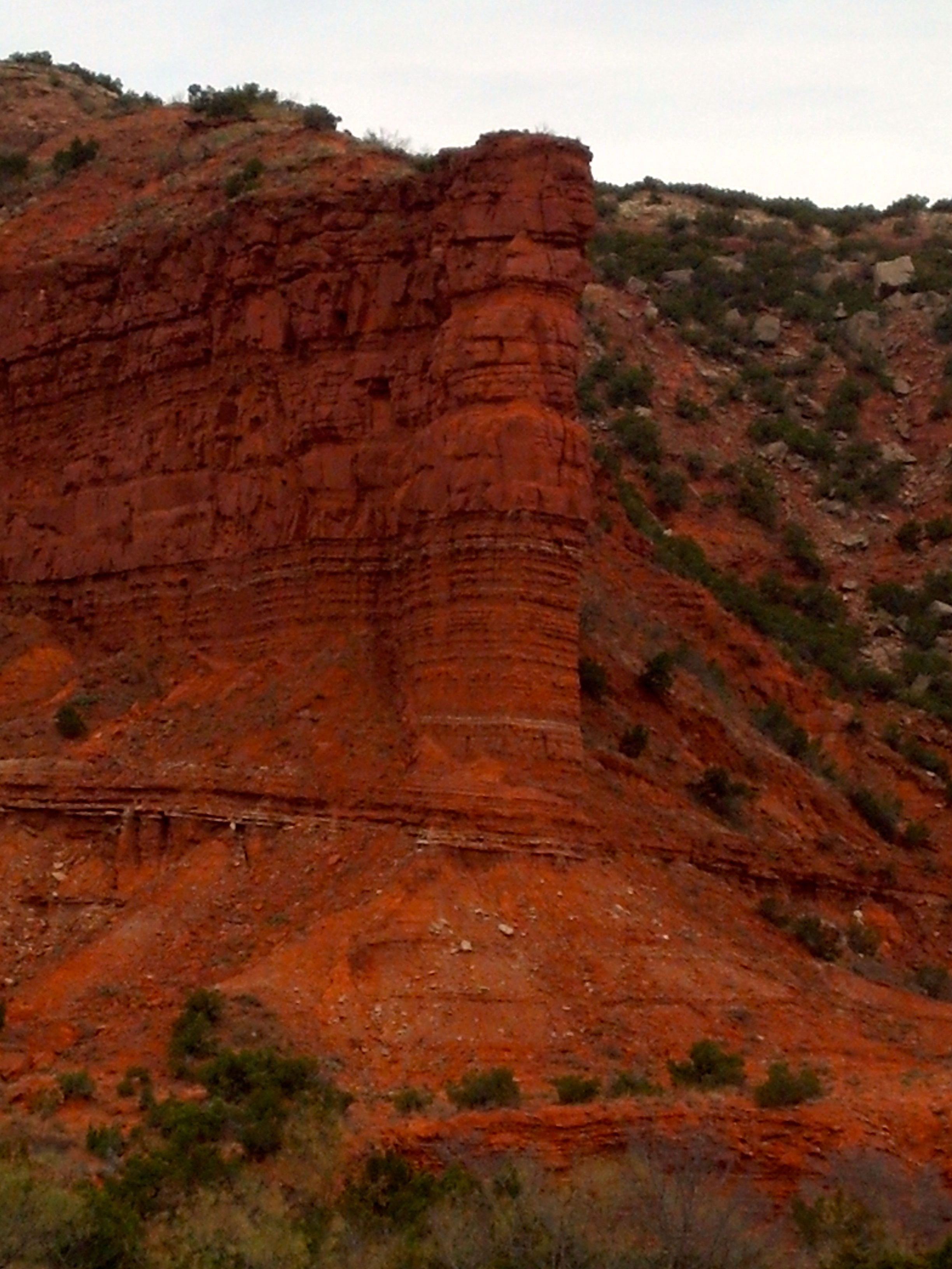
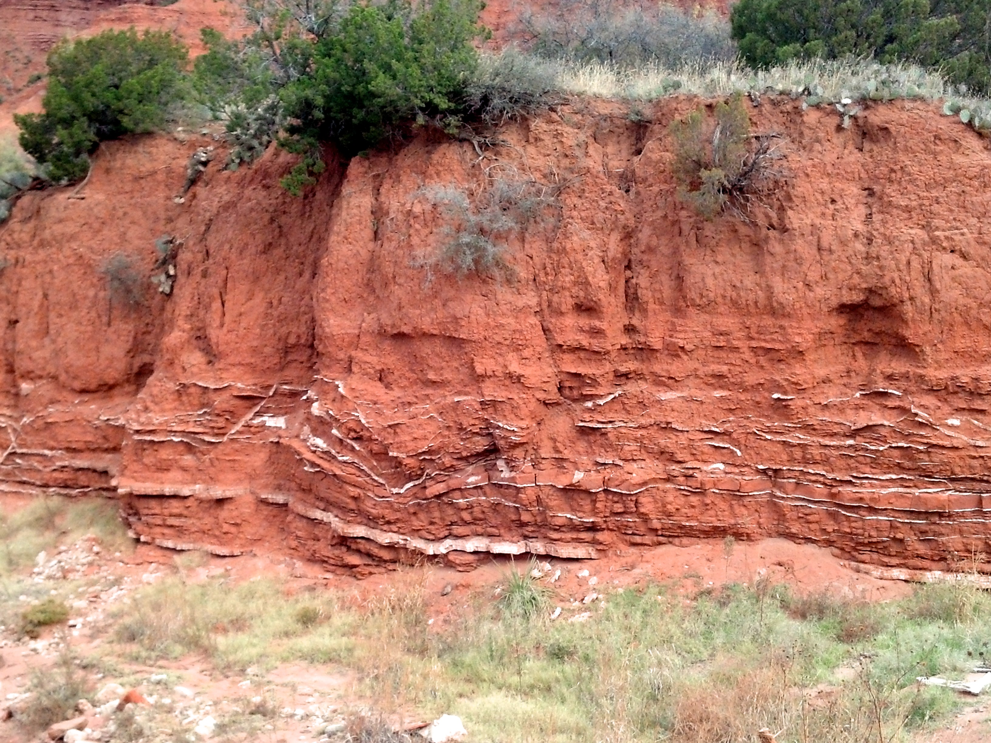
Caprock Canyons
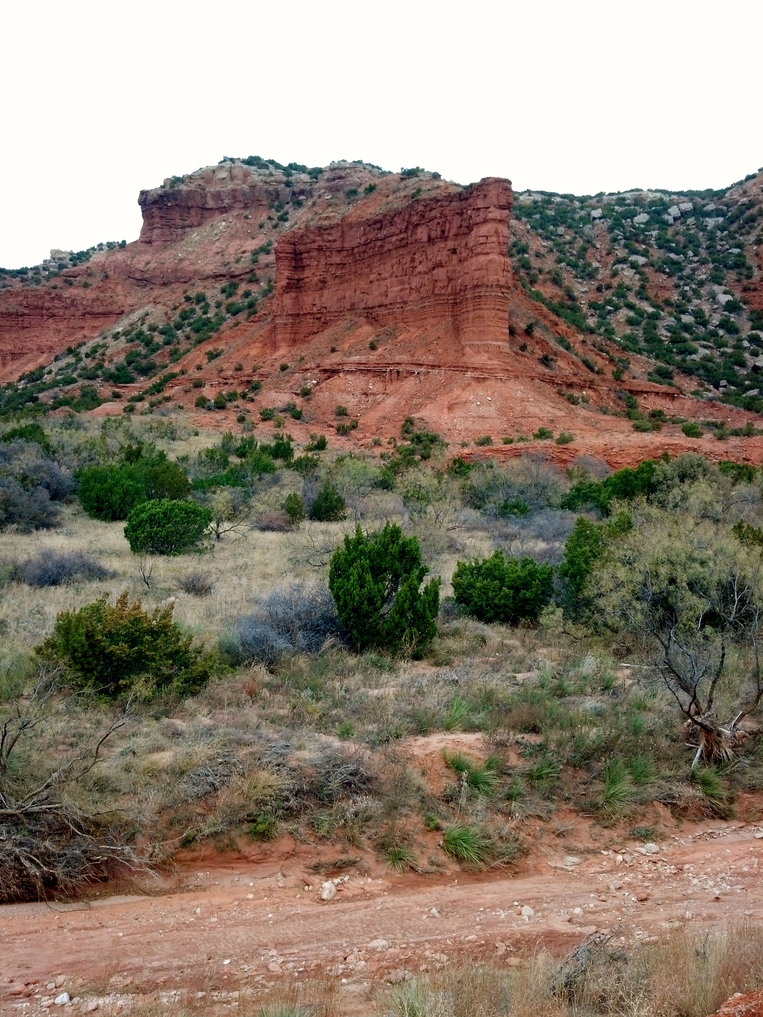
Caprock Canyons
Caprock Quartermaster
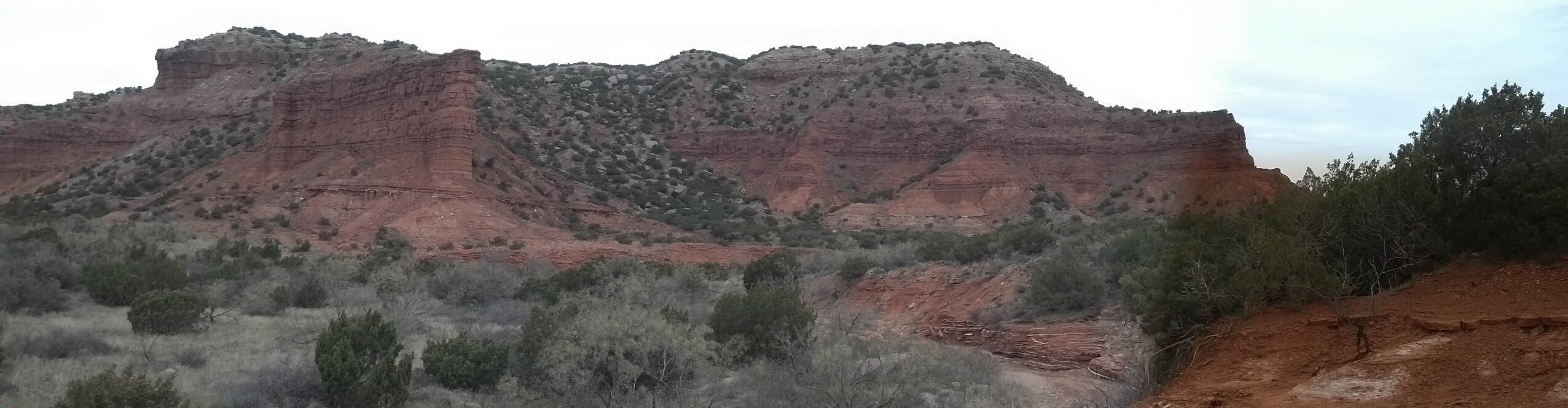
Caprock Canyons
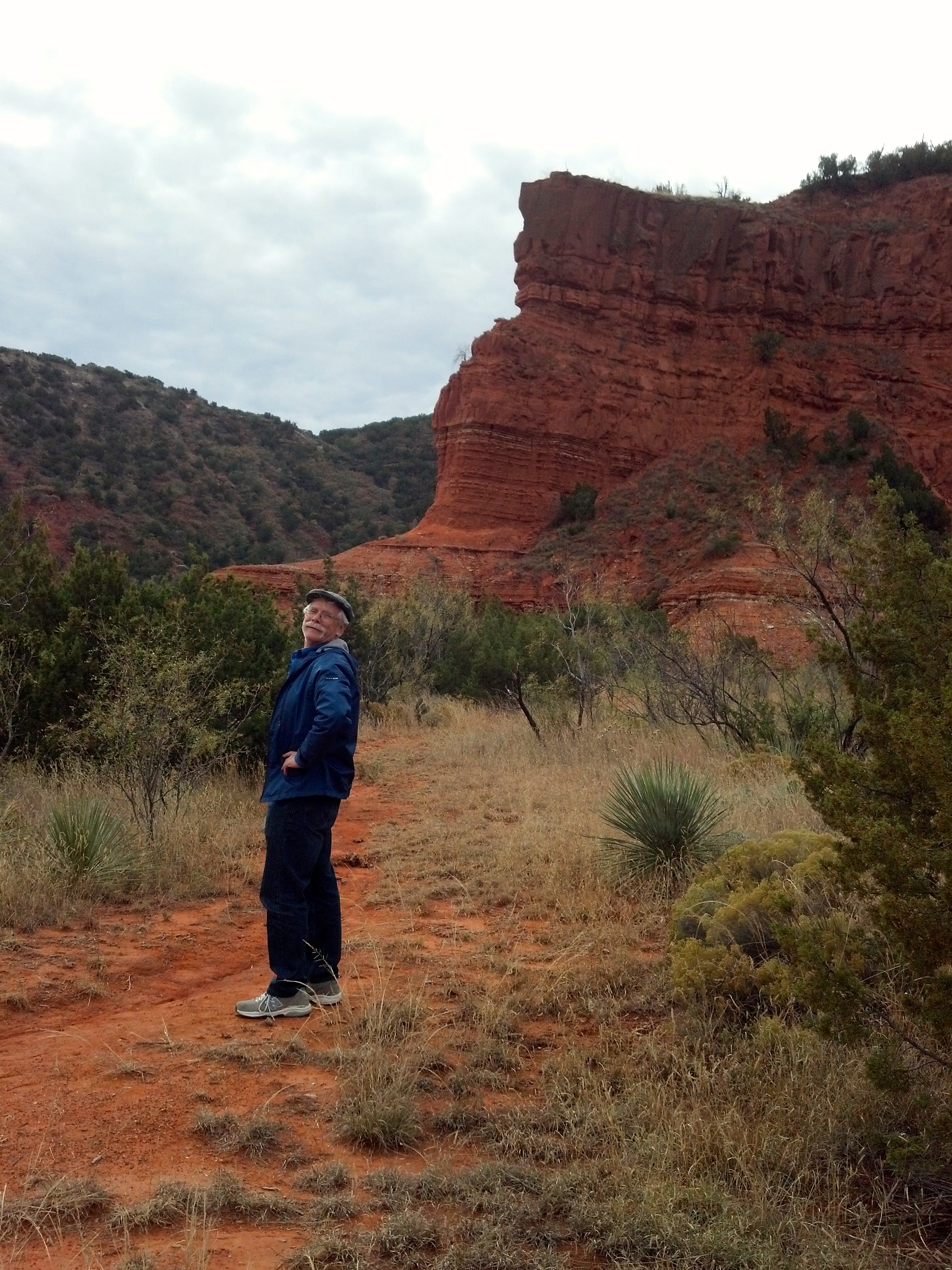
the last time I was here
to remove lens pry under rim
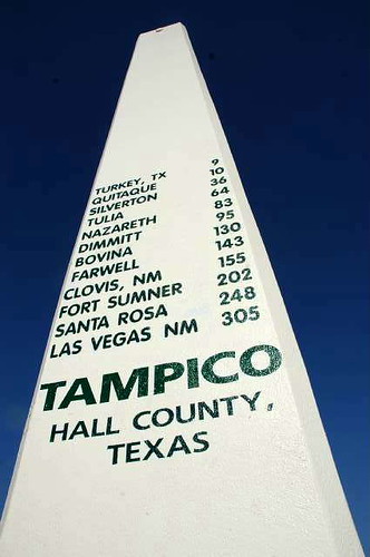
Restored Marker
Topographic Map of Hall County, TX, USA
Find elevation by address:

Places in Hall County, TX, USA:
Places near Hall County, TX, USA:
13997 Tx-86
Lakeview
Harper St, Estelline, TX, USA
Estelline
Memphis
Motley County
Hedley, TX, USA
US-, Lelia Lake, TX, USA
Briscoe County
Main St, Matador, TX, USA
Matador
Cottle County
Motley County School District
Clarendon
Childress
Donley County
Childress County
1605 Childress St
Paducah
Wellington
Recent Searches:
- Elevation of Corso Fratelli Cairoli, 35, Macerata MC, Italy
- Elevation of Tallevast Rd, Sarasota, FL, USA
- Elevation of 4th St E, Sonoma, CA, USA
- Elevation of Black Hollow Rd, Pennsdale, PA, USA
- Elevation of Oakland Ave, Williamsport, PA, USA
- Elevation of Pedrógão Grande, Portugal
- Elevation of Klee Dr, Martinsburg, WV, USA
- Elevation of Via Roma, Pieranica CR, Italy
- Elevation of Tavkvetili Mountain, Georgia
- Elevation of Hartfords Bluff Cir, Mt Pleasant, SC, USA