Elevation of Halfway Rd, Springfield, NS B0R 1H0, Canada
Location: Canada > Nova Scotia > Annapolis County > Annapolis, Subd. D > Springfield >
Longitude: -65.003134
Latitude: 44.5841862
Elevation: 203m / 666feet
Barometric Pressure: 99KPa
Elevation Map:
Satellite Map:
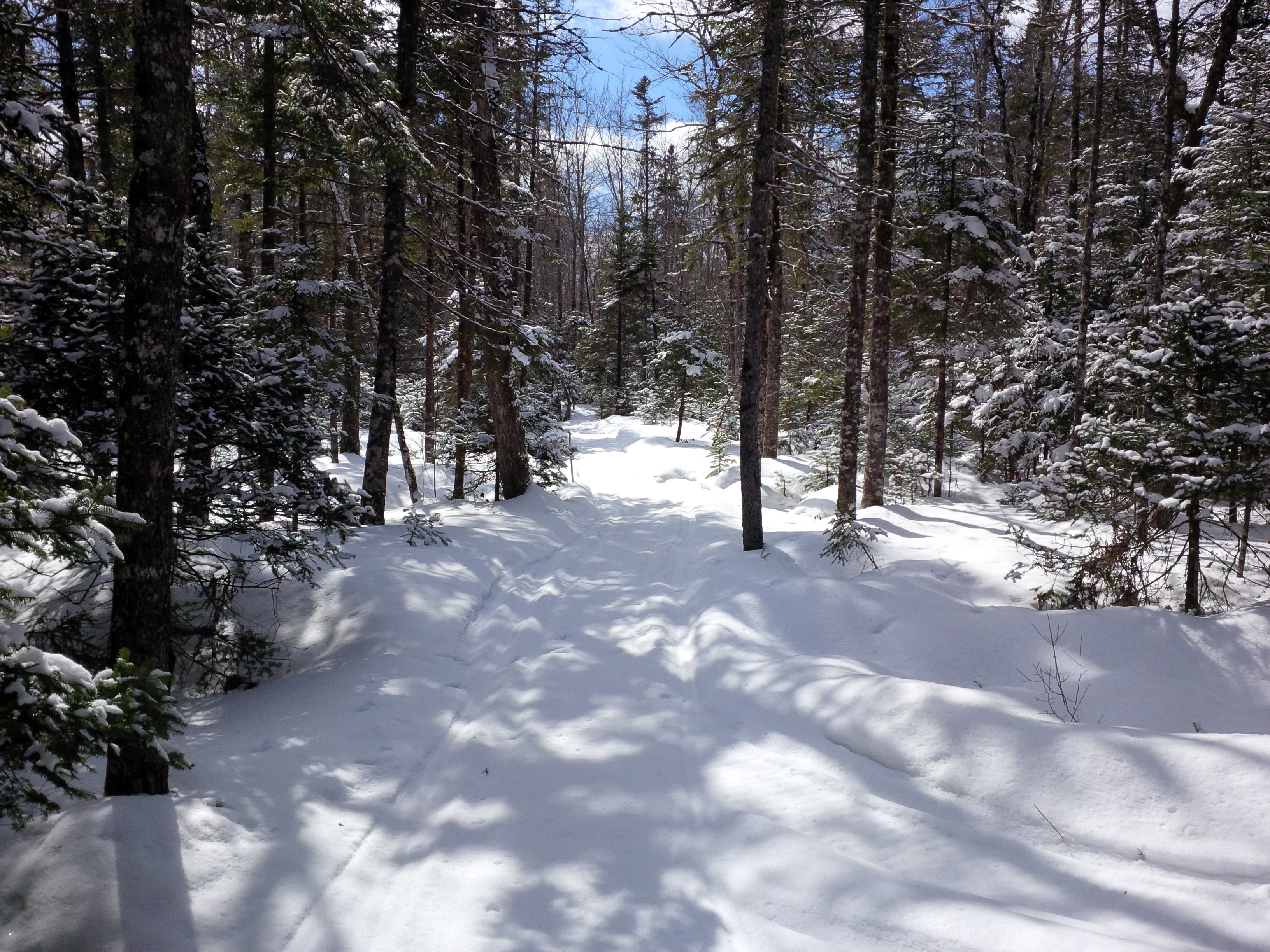
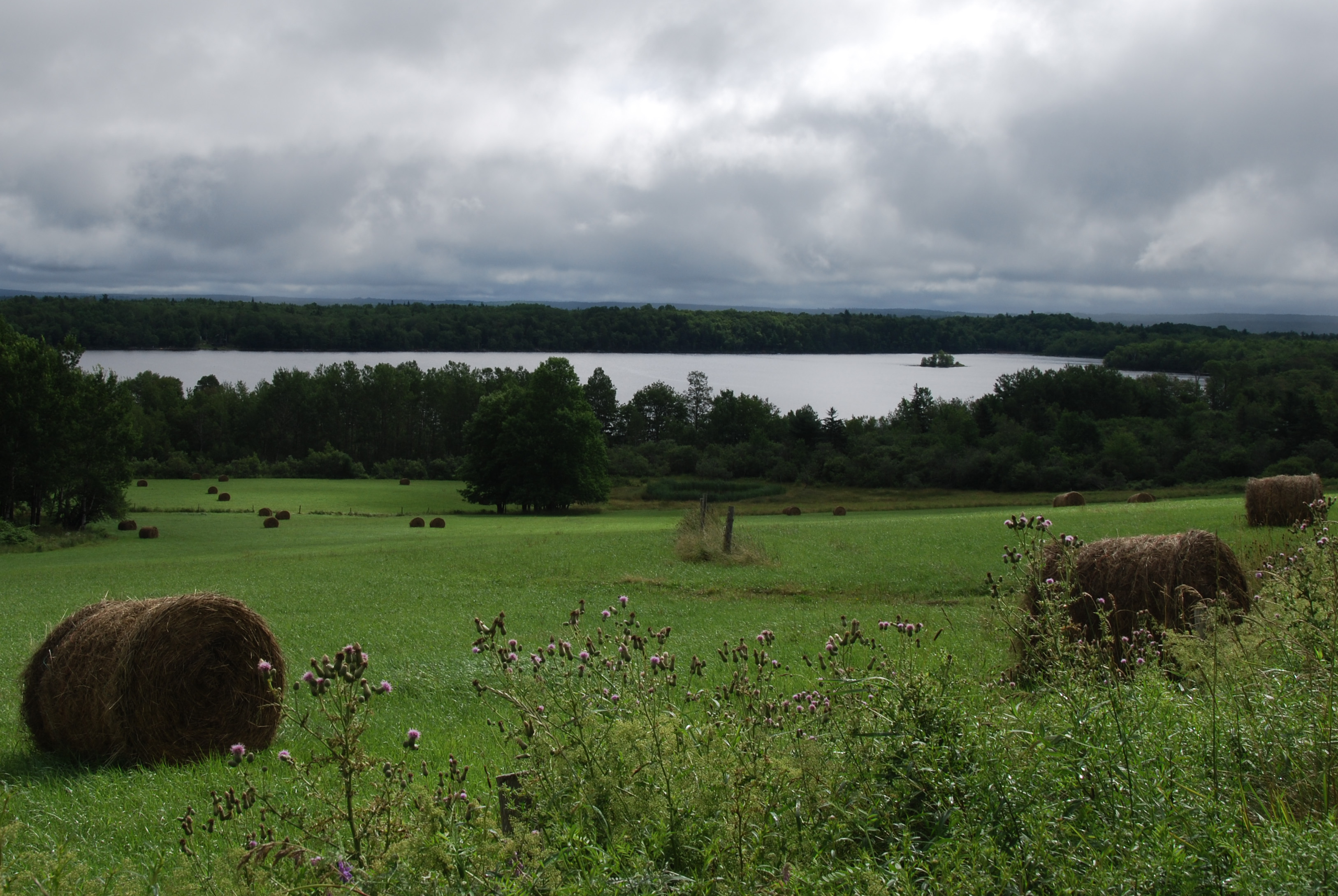
Related Photos:
Winter 1

March 6th part 2
DSC_0721-2

Off trail

Dean (McGowan) Lake
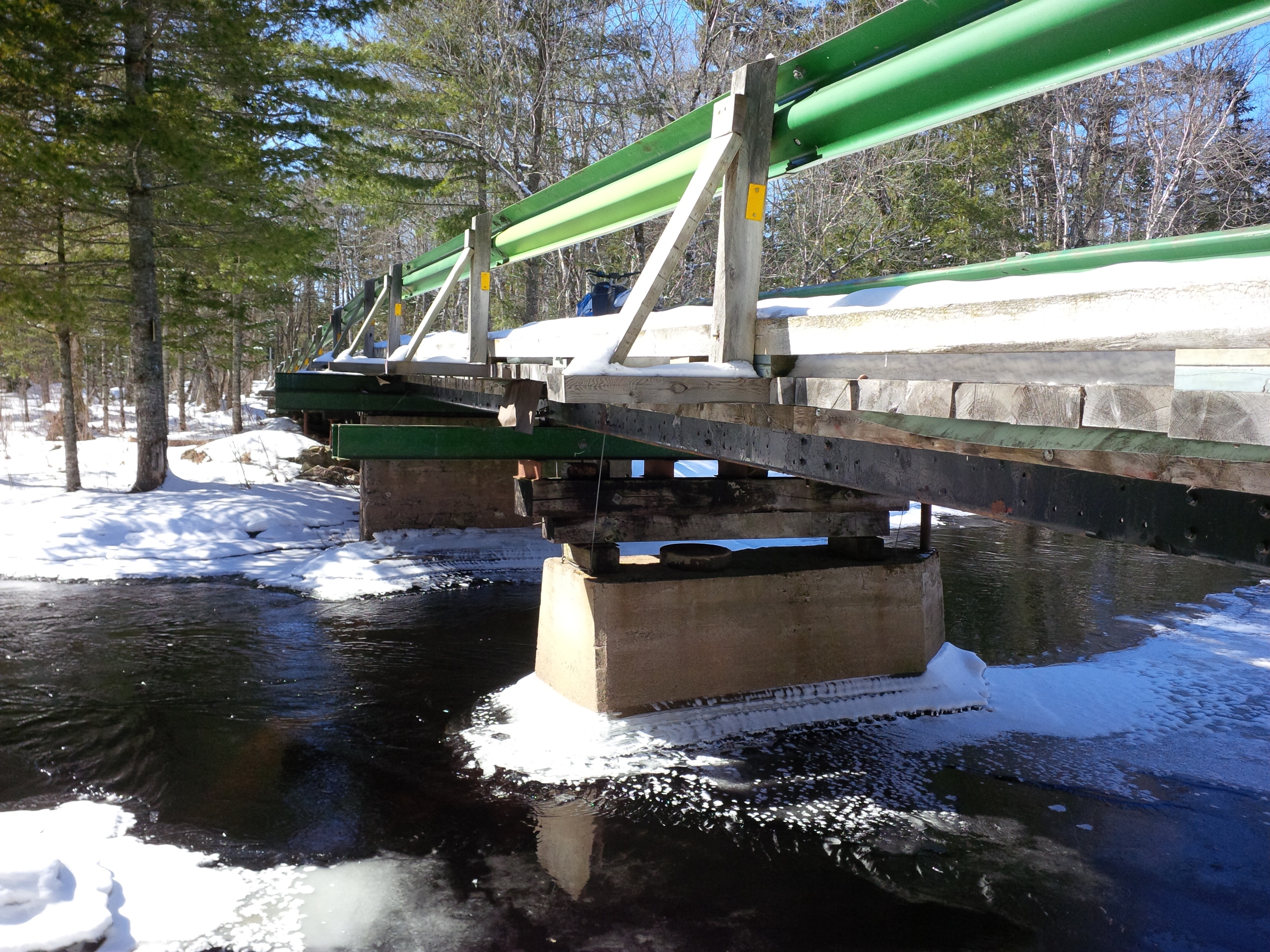
Peters Stillwater Bridge

Winter 2
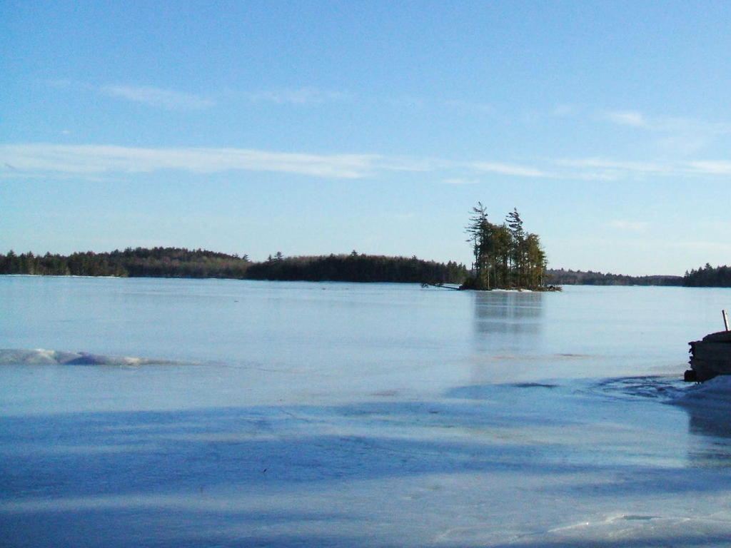
Dean (McGowan) Lake
March 6th

Stuck bad
Stuck 2
Topographic Map of Halfway Rd, Springfield, NS B0R 1H0, Canada
Find elevation by address:

Places near Halfway Rd, Springfield, NS B0R 1H0, Canada:
103 Lake Pleasant Rd
Annapolis, Subd. D
Springfield
132 Harlow Rd
1218 Lake Pleasant Rd
Old Westfield Rd, Caledonia, NS B0T 1B0, Canada
25 Timber Dr
Murley Rd, South Brookfield, NS B0T 1X0, Canada
New Elm Rd, South Brookfield, NS B0T 1X0, Canada
B0r 1e0
Old Harmony Rd, Caledonia, NS B0T 1B0, Canada
Caledonia
1866 Hibernia Rd
South Brookfield
Whitman Inn
12389 Nova Scotia Trunk 8
2762 Thorne Rd
2762 Thorne Rd
2762 Thorne Rd
2762 Thorne Rd
Recent Searches:
- Elevation of Corso Fratelli Cairoli, 35, Macerata MC, Italy
- Elevation of Tallevast Rd, Sarasota, FL, USA
- Elevation of 4th St E, Sonoma, CA, USA
- Elevation of Black Hollow Rd, Pennsdale, PA, USA
- Elevation of Oakland Ave, Williamsport, PA, USA
- Elevation of Pedrógão Grande, Portugal
- Elevation of Klee Dr, Martinsburg, WV, USA
- Elevation of Via Roma, Pieranica CR, Italy
- Elevation of Tavkvetili Mountain, Georgia
- Elevation of Hartfords Bluff Cir, Mt Pleasant, SC, USA