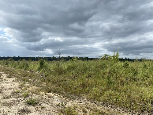
Elevation of Hair Rd, Disputanta, VA, USA
Location: United States > Virginia > Prince George County > Templeton > Disputanta >
Longitude: -77.282603
Latitude: 37.081114
Elevation: 35m / 115feet
Barometric Pressure: 101KPa
Related Photos:
Topographic Map of Hair Rd, Disputanta, VA, USA
Find elevation by address:

Places near Hair Rd, Disputanta, VA, USA:
Loving Union Road
7979 Holdsworth Rd
7971 Holdsworth Rd
Templeton
4324 Tatum Rd
Springfield Drive
Prince George Dr, Disputanta, VA, USA
19810 Log Rd
6268 Railroad Bed Rd
Disputanta
11470 County Dr
Prince George County
Prince George County
Prince George County
Prince George County
Prince George County
Prince George County
Prince George County
Prince George County
Prince George County
Recent Searches:
- Elevation of Corso Fratelli Cairoli, 35, Macerata MC, Italy
- Elevation of Tallevast Rd, Sarasota, FL, USA
- Elevation of 4th St E, Sonoma, CA, USA
- Elevation of Black Hollow Rd, Pennsdale, PA, USA
- Elevation of Oakland Ave, Williamsport, PA, USA
- Elevation of Pedrógão Grande, Portugal
- Elevation of Klee Dr, Martinsburg, WV, USA
- Elevation of Via Roma, Pieranica CR, Italy
- Elevation of Tavkvetili Mountain, Georgia
- Elevation of Hartfords Bluff Cir, Mt Pleasant, SC, USA


